The best mountain hikes around Furtwangen
5.0
(2)
12
hikers
6
hikes
Mountaineering routes around Furtwangen im Schwarzwald are set within the picturesque Black Forest, a region characterized by dense woodlands, clear streams, and deeply incised valleys. As the highest town in Baden-Württemberg, Furtwangen sits between 850 and 1150 meters above sea level, offering varied terrain for mountain sports. The landscape includes notable rock formations and the unique European watershed, where the Breg, a headwater of the Danube, originates. This area provides diverse challenges for experienced hikers and mountaineers.
Best mountaineering routes…
Last updated: July 5, 2026
5.0
(1)
5
hikers
21.9km
07:35
1,010m
1,010m
Hard mountaineering route. Very good fitness required. Mostly accessible paths. Sure-footedness required.
5.0
(1)
2
hikers
6.94km
02:19
210m
210m
Moderate mountaineering route. Good fitness required. Mostly accessible paths. Sure-footedness required.

Sign up for free
2
hikers
7.79km
02:09
130m
130m
Moderate mountaineering route. Good fitness required. Easily-accessible paths. Suitable for all skill levels.
1
hikers
4.95km
02:16
360m
360m
Moderate mountaineering route. Good fitness required. Mostly accessible paths. Sure-footedness required.
1
hikers
Moderate mountaineering route. Good fitness required. Easily-accessible paths. Suitable for all skill levels.
Our route recommendations are based on thousands of hikes, rides, and runs completed by other people on komoot.
Start today with a free account
Your next adventure awaits.
Login or Signup
Popular around Furtwangen im Schwarzwald
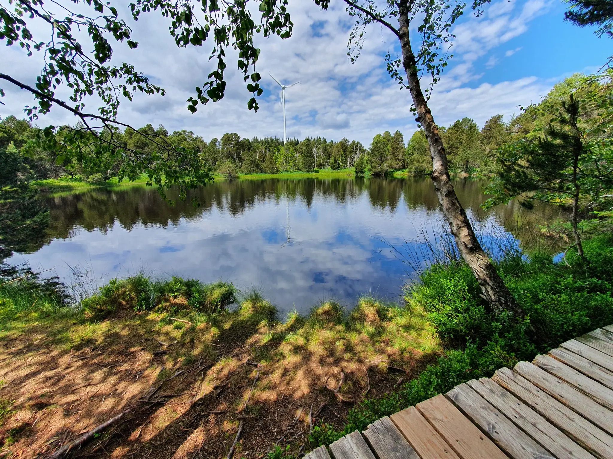
Hike the WasserWeltenSteig – Waterfalls, lakes and rivers of the Black Forest
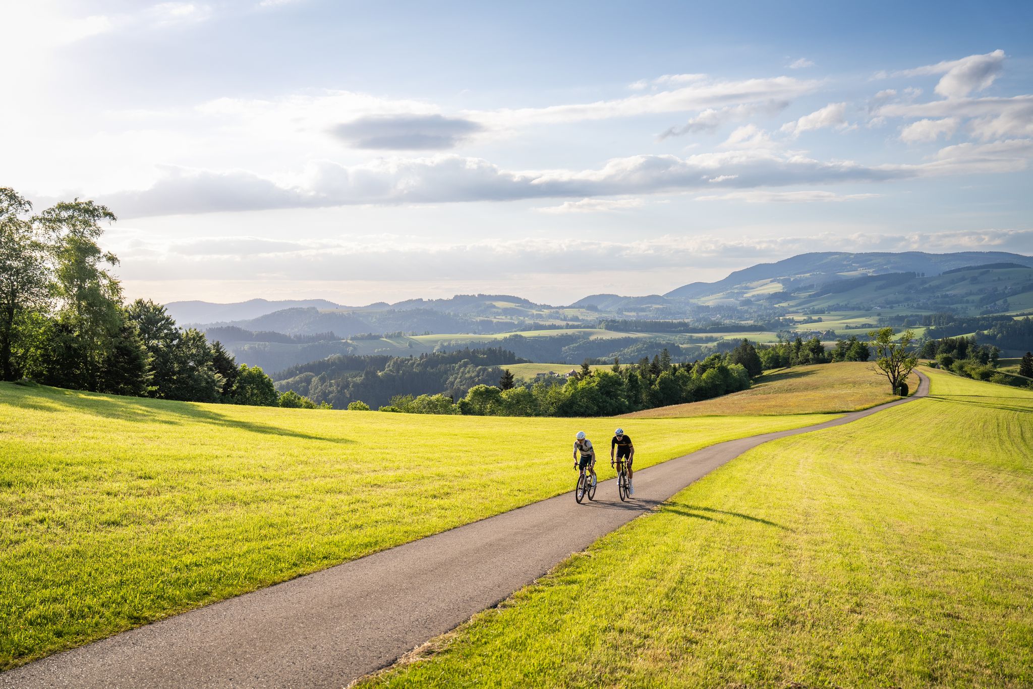
Asphalt poetry – road cycling in the High Black Forest
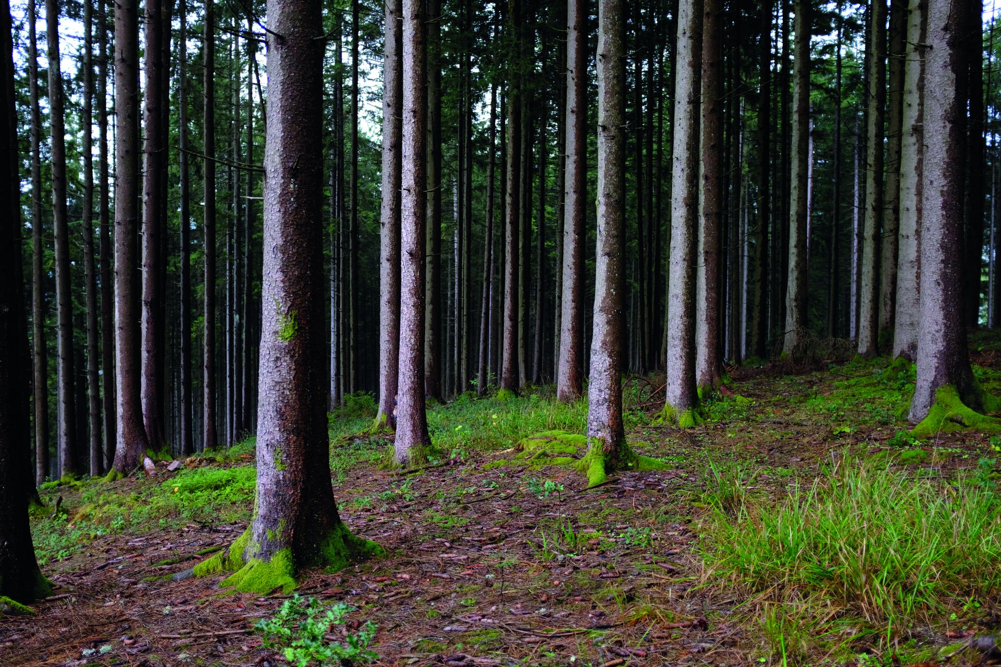
Deep in the Black Forest - Crossing on the Westweg
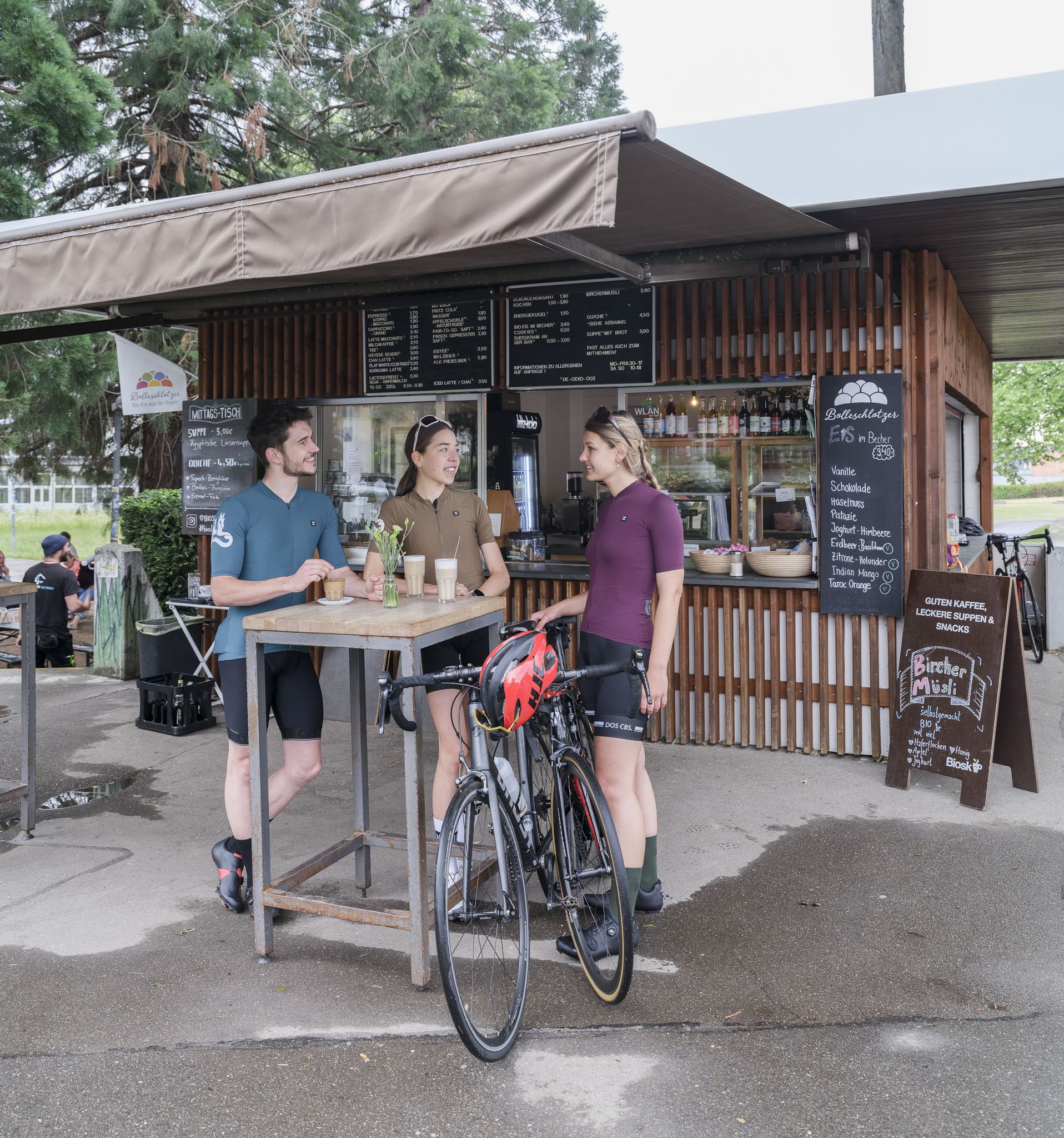
Espresso, ice cream and racing bikes – a dream mix in the Black Forest
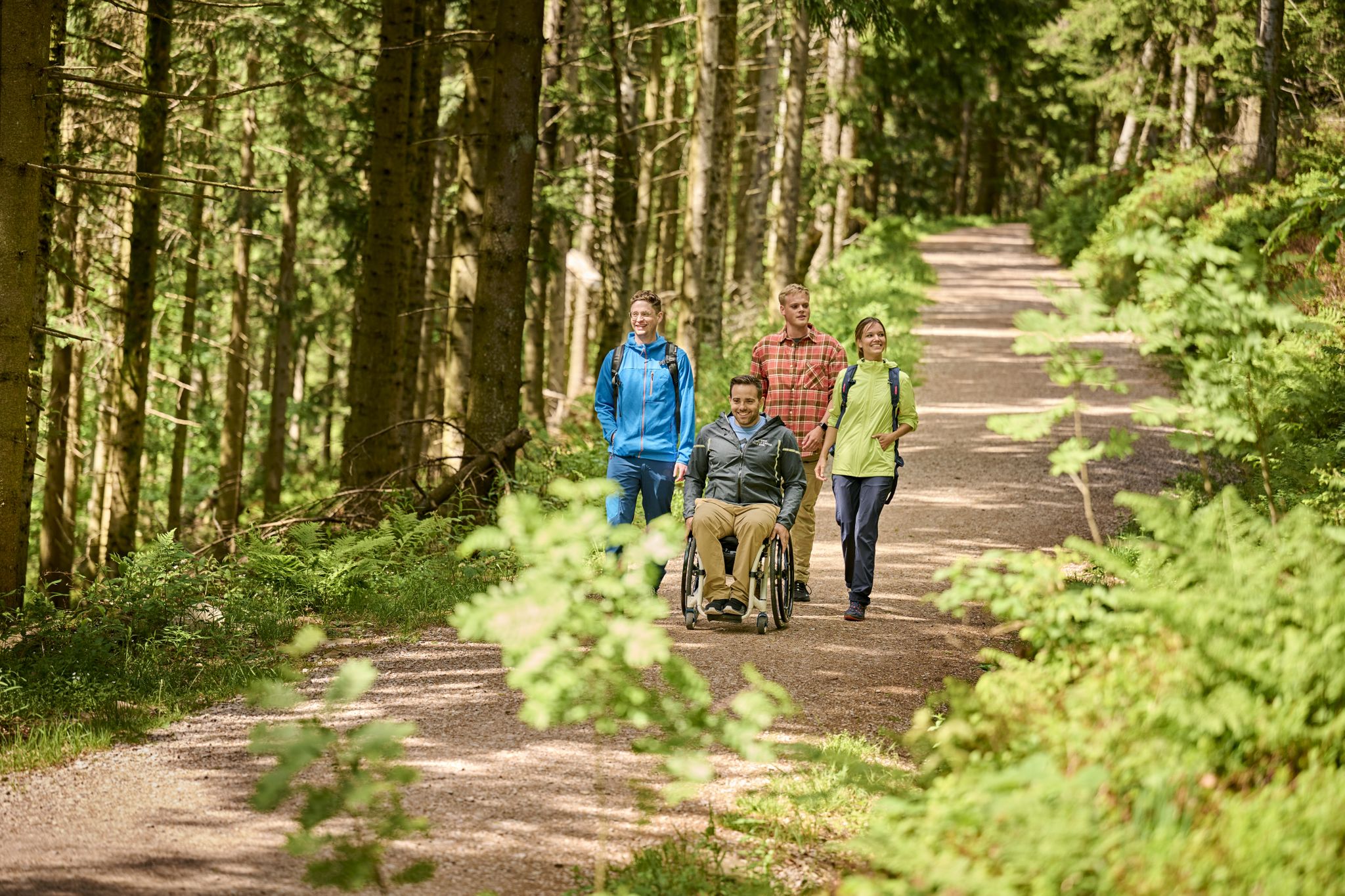
Accessible hiking routes in Baden-Württemberg
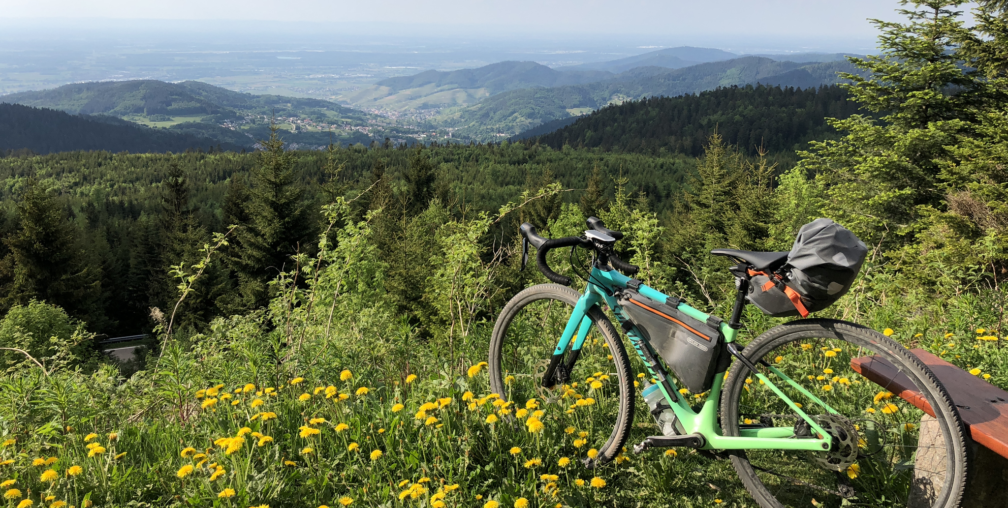
A bikepacking adventure for beginners – Black Forest Cycle Route in Germany
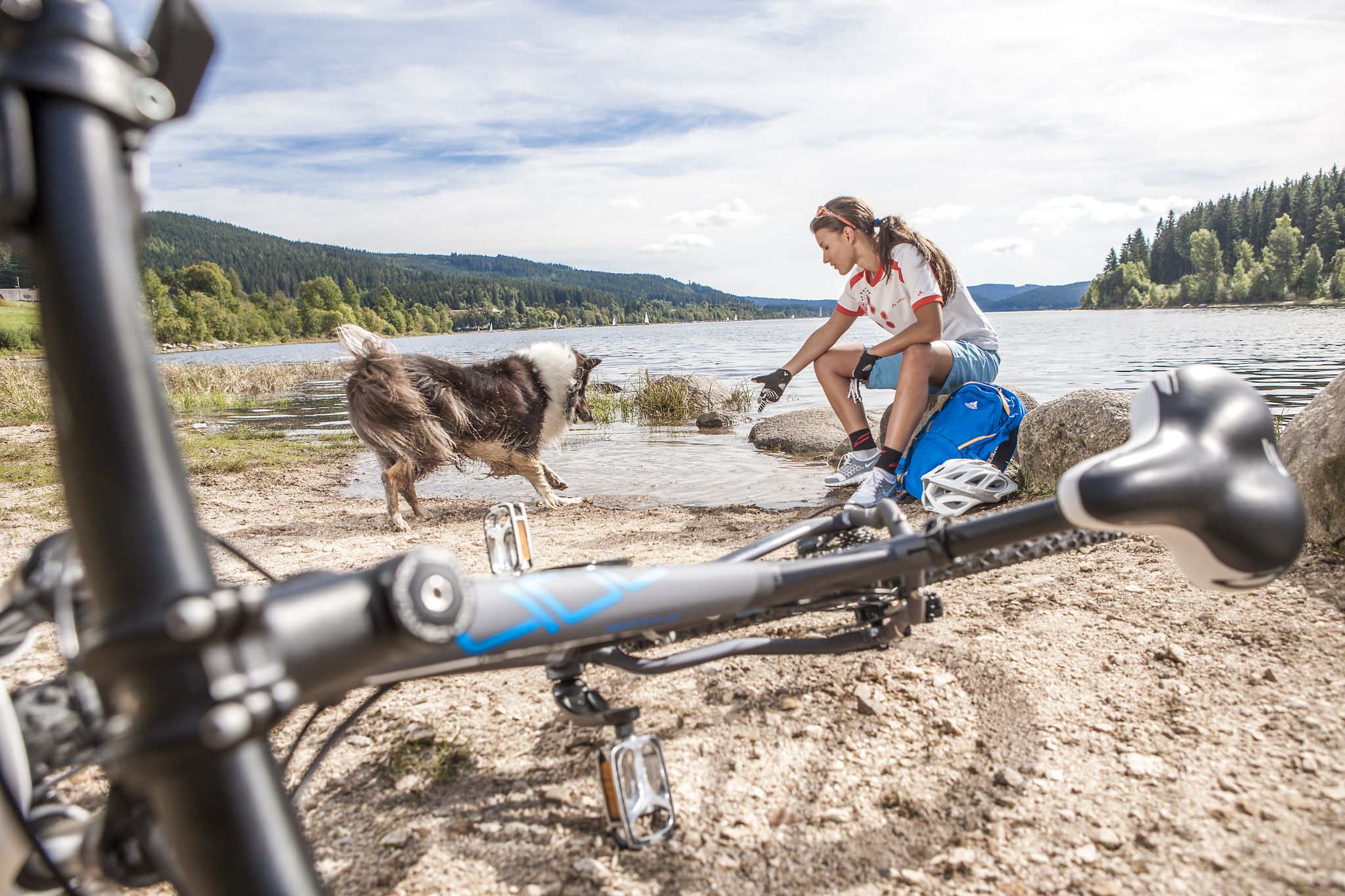
Panoramas, trails and lake hopping – biking in the Black Forest
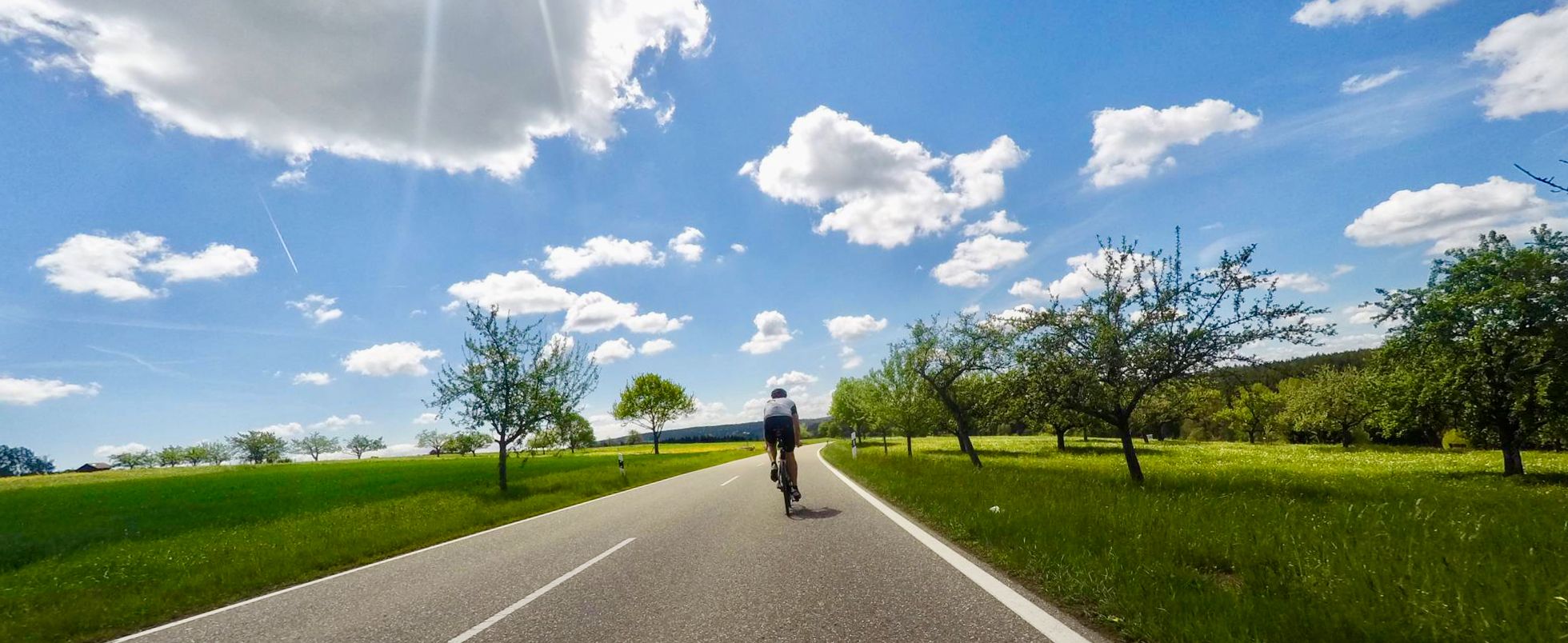
Secluded valleys & dramatic passes – best of Black Forest road cycling
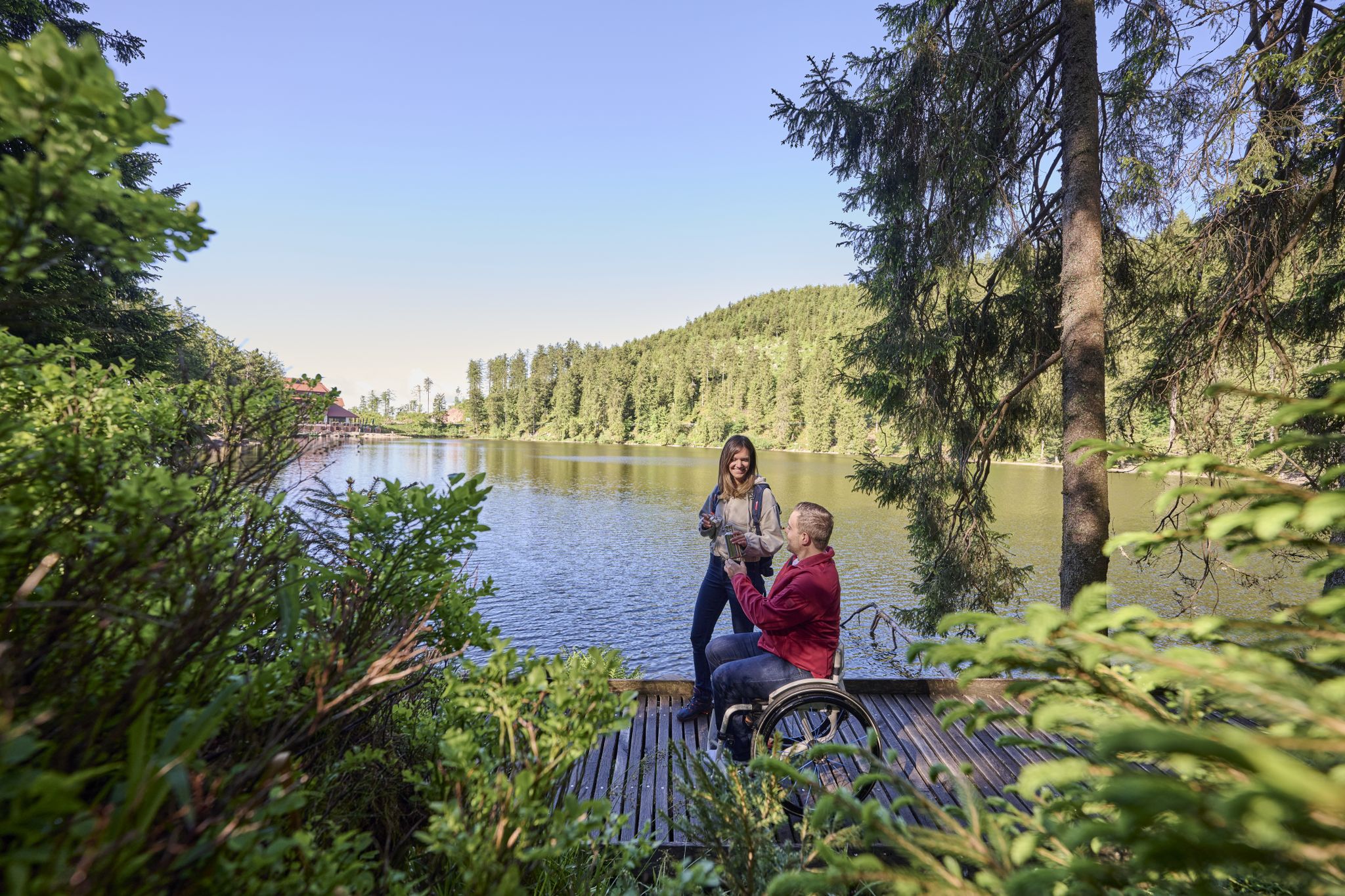
Barrierefreie Wege im Schwarzwald
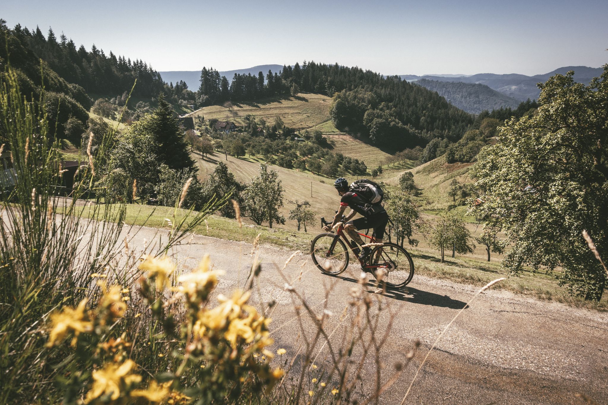
Blütenzauber – Frühlings-Graveln im Schwarzwald
Other adventures around Furtwangen


Tips from the Community

From Rohrhardsberg to Hörnleberg you pass by here.
0
0

Unfortunately, the Hintereck is temporarily closed.
0
0

Hut closed from the end of 2025
0
0

Small shelter here, solid wooden floor.
0
0

The path is actually a typical trail, located on the slope. You even have to complete small climbing sections.
0
0
The Hintereck-Hütte has been closed since October 2025 due to a lack of tenants, but there is a drinks station with reasonable prices and a fountain in front of it. I would avoid the descent on the Wäldersteig to the parking lot when it's wet.
0
0

A cozy place that invites you to linger on the bench.
0
0
Frequently Asked Questions
How many mountaineering routes are available around Furtwangen im Schwarzwald?
There are 8 mountaineering routes around Furtwangen im Schwarzwald listed in this guide, offering a range of experiences within the Black Forest.
What makes mountaineering in Furtwangen im Schwarzwald unique?
Furtwangen, as the highest town in Baden-Württemberg, offers a unique blend of dense Black Forest woodlands, clear streams, and deeply incised valleys. It also sits on the European watershed, where the Breg, a headwater of the Danube, originates. This diverse landscape provides varied challenges and scenic beauty for mountaineers.
Are there challenging mountaineering routes for experienced hikers?
Yes, for experienced mountaineers seeking a challenge, the region offers routes like the Wehrlehof Mill – Schultiskopf (1,072 m) loop from Simonswald. This difficult 13.5-mile (21.7 km) trail involves significant elevation gain and offers expansive views.
Can I find circular mountaineering routes in the Furtwangen area?
Many of the routes around Furtwangen are designed as loops, allowing you to start and end at the same point. For example, the Wildgutach Waterfall – Hintereck Hut loop from Gütenbach is a moderate circular path that takes you through scenic woodlands.
Are there any routes that pass by waterfalls?
Yes, you can explore routes that feature beautiful waterfalls. The Wildgutach Waterfall – Hintereck Hut loop from Gütenbach leads past the idyllic Wildgutach Waterfall. Additionally, the nearby Teichschlucht Waterfalls are another natural highlight in the region.
What natural landmarks can I see on these routes?
The region is rich in natural landmarks. You can encounter prominent rock formations like the Günterfelsen, deeply incised valleys such as the Wildgutach Valley and Urach Valley, and the unique European watershed. The Brend Tower also offers panoramic views.
Are there viewpoints offering panoramic vistas?
Absolutely. The Brend Tower on Brend Mountain, Furtwangen's highest elevation, provides stunning panoramic views of the Black Forest peaks. Another notable viewpoint is the Stoecklewald Tower.
Are there family-friendly mountaineering options?
While many routes are moderate to difficult, some shorter, less strenuous paths can be suitable for families. For instance, the Schönwälder Urhüttle – Blindensee loop from Schönwald im Schwarzwald is a moderate 4.8-mile (7.8 km) trail through dense forest to the tranquil Blindensee, which might be a good option for active families.
What do other mountaineers say about the routes in Furtwangen im Schwarzwald?
The routes in Furtwangen im Schwarzwald are highly rated by the komoot community, with an average score of 5.0 stars from more than 3 reviews. Users often praise the extensive Black Forest woodlands and the varied terrain.
Is parking available near the trailheads?
Parking availability varies by trailhead. Many starting points for routes in the Black Forest region, including those around Furtwangen, typically have designated parking areas, especially near popular attractions or villages. It's advisable to check specific route details for parking information before your trip.
What is the best time of year for mountaineering in Furtwangen?
The Black Forest region, including Furtwangen, is generally best for mountaineering from spring through autumn when the weather is milder and trails are clear. Summer offers lush greenery, while autumn brings vibrant foliage. Winter mountaineering is possible but requires appropriate gear and awareness of snow and ice conditions.
Are there any huts or refreshment stops along the routes?
Yes, you can find various huts and refreshment stops in the wider Furtwangen area. Options include the Brunnenhof Rest Area and Refreshment Stand, the Gummenhütte (Fensterliwirt — 'Window Inn'), and the Schwedenschanze Inn, providing opportunities for a break and a meal.
Most popular routes around Furtwangen
Most popular attractions around Furtwangen

Get inspired with the komoot mobile app


Explore more
Browse the best Mountain Hikes & Routes in other regions.
