The best running trails around Oppenau
4.9
(19)
398
runners
45
runs
Jogging around Oppenau offers diverse terrain within the Black Forest, characterized by river valleys, forested slopes, and mountain paths. The region is situated in the Rench Valley, where the Rench and Lierbach rivers converge, providing scenic routes along waterways. Elevations range from gentle valley paths to more challenging climbs towards peaks and viewpoints. This varied landscape makes Oppenau suitable for different running preferences and fitness levels.
Best jogging routes around Oppenau
- The most popular jogging route is Renchdamm Pathway –…
Last updated: October 5, 2026
5.0
(1)
20
runners
Hard run. Very good fitness required. Mostly paved surfaces. Suitable for all skill levels.
5.0
(1)
23
runners
20.5km
02:11
200m
200m
Hard run. Very good fitness required. Mostly paved surfaces. Suitable for all skill levels.

20
runners
Hard run. Very good fitness required. Mostly paved surfaces. Suitable for all skill levels.
5.0
(4)
28
runners
8.69km
00:56
90m
90m
Moderate run. Good fitness required. Mostly paved surfaces. Suitable for all skill levels.
5.0
(1)
16
runners
17.5km
02:06
600m
600m
Hard run. Very good fitness required. Mostly paved surfaces. Suitable for all skill levels.
Get access to more routes and recommendations from other explorers.
Already have an account?
Our route recommendations are based on thousands of hikes, rides, and runs completed by other people on komoot.
Start today with a free account
Your next adventure awaits.
Popular around Oppenau

Coolcation in the Black Forest – hiking and cooling off in summer
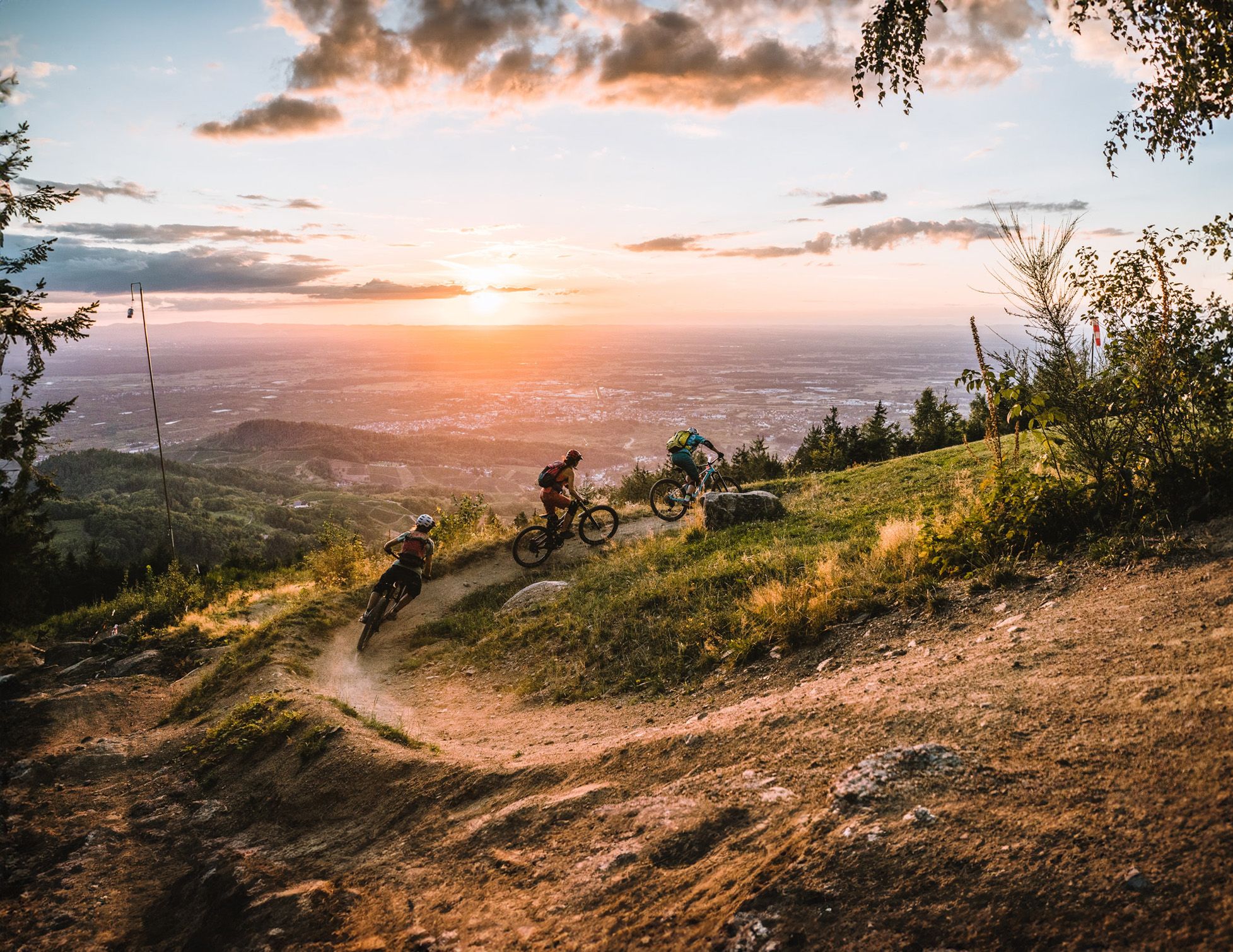
Discover the Black Forest on flowy trails
Deep in the Black Forest - Crossing on the Westweg
Trekking Schwarzwald 8-day tour from Forbach to Alpirsbach
Trekking Black Forest 7-day tour from Alpirsbach to Biberach
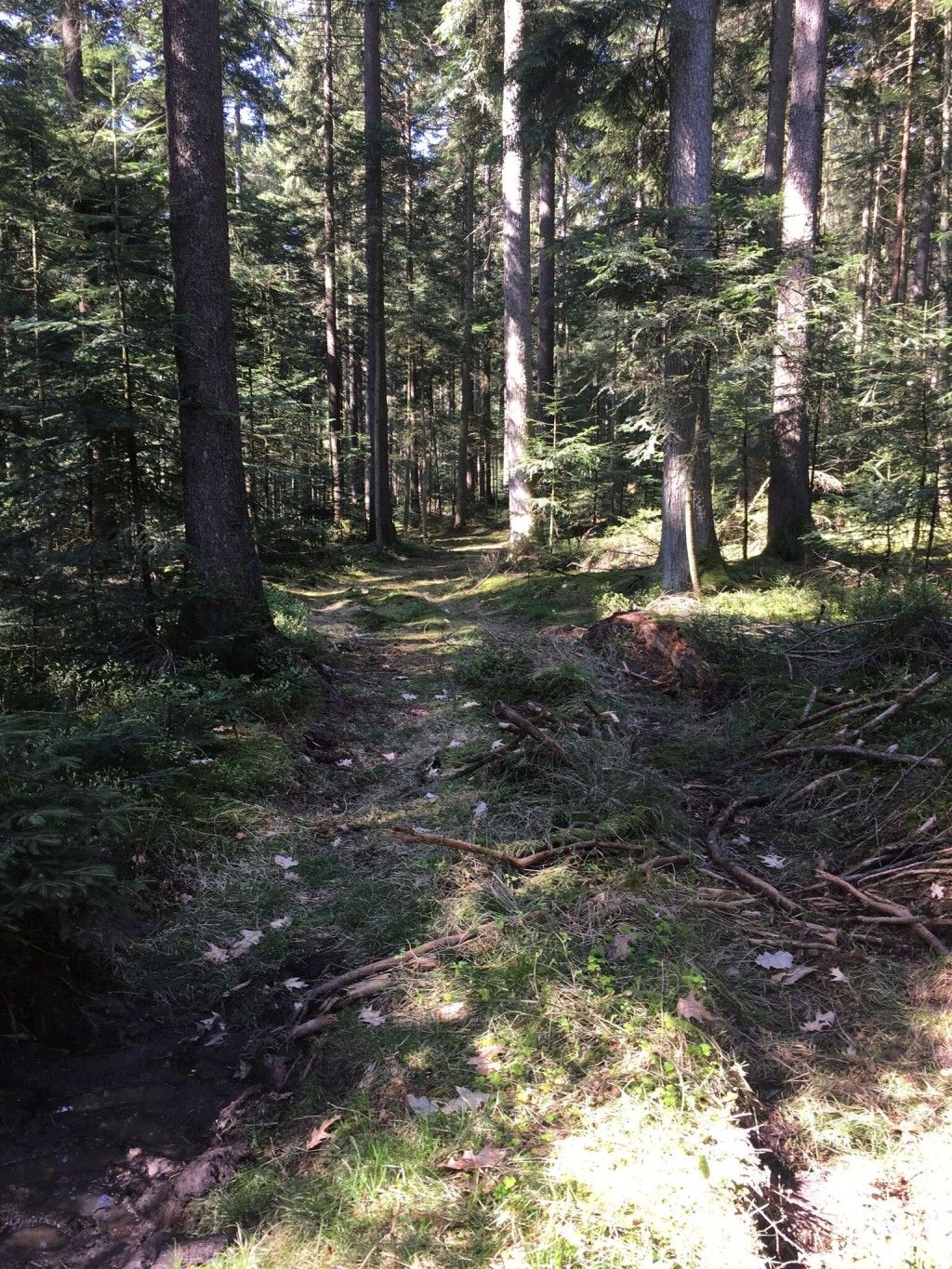
Trekking Schwarzwald 7-day tour from Malschbach to Alpirsbach
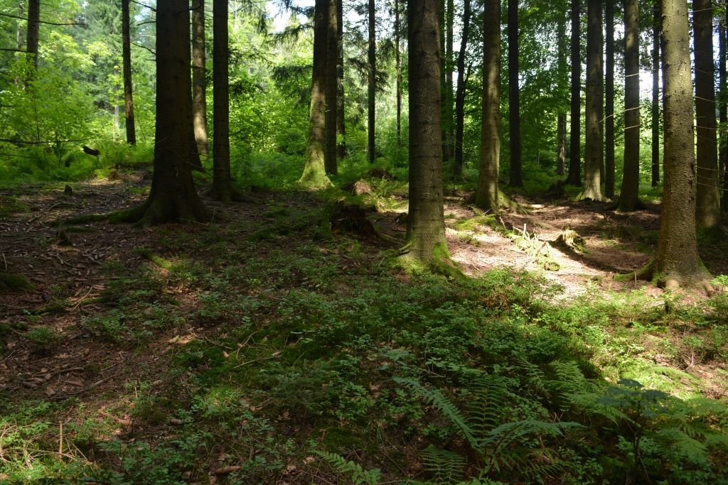
Trekking Black Forest 7-day tour from Forbach to Biberach
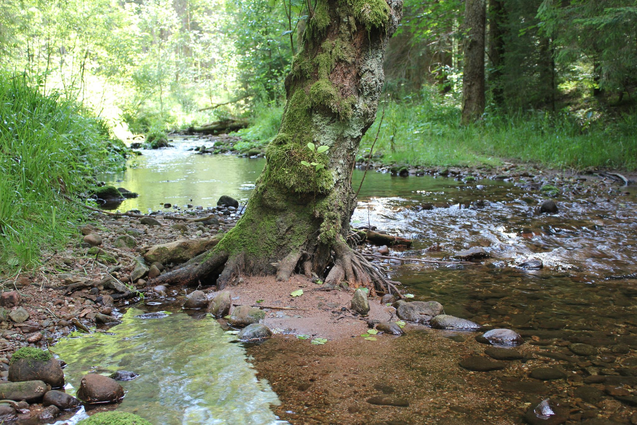
Trekking Schwarzwald 6-day tour from Alpirsbach to Gengenbach
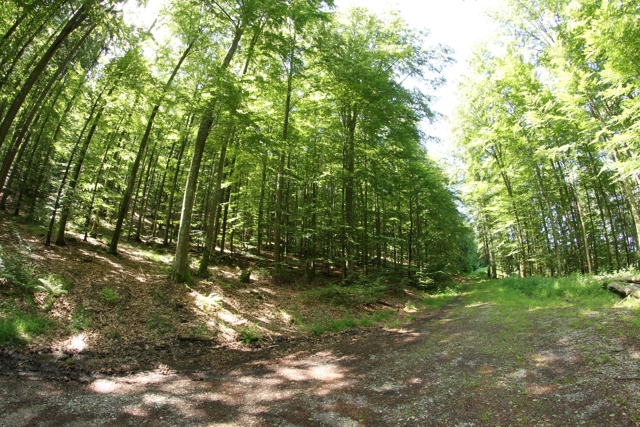
Trekking Black Forest 6-day tour from Malschbach to Biberach
Trekking Black Forest 6-day tour from Malschbach to Freudenstadt
Other adventures around Oppenau


Tips from the Community

The Rench is 57 km long. It originates near Zuflucht at an altitude of 915m. At Helmlingen, the Rench flows into the Rhine.
0
0
The Rench is 57 km long. It originates near the Zuflucht at an altitude of 915m. Near Helmlingen, the Rench flows into the Rhine.
1
0

Impressive monastery ruins, whose history is told on some panels in a small museum.
0
0

This viewpoint offers an impressive view of the historic monastery ruins of Allerheiligen, which lies picturesquely in a wooded high valley of the Black Forest. From here, one can particularly well recognize the striking remains of the former monastery complex, whose open arches and walls blend harmoniously into the surrounding landscape.
7
0
The Rench is 57 km long. It rises near Zuflucht at an altitude of 915 m. The Rench flows into the Rhine near Helmlingen.
4
0
The Rench is 57 km long. It rises near Zuflucht at an altitude of 915 m. The Rench flows into the Rhine near Helmlingen.
3
0
Bridge over the Rench
1
0
The Rench is 57 km long. It rises near the refuge at an altitude of 915 m. Near Helmlingen, the Rench flows into the Rhine.
0
0
Frequently Asked Questions
How many running routes are available around Oppenau?
Oppenau offers a diverse network of over 20 running routes, catering to various preferences and fitness levels. These trails explore the scenic Rench Valley, dense Black Forest woodlands, and impressive waterfalls.
Are there easy or beginner-friendly running routes in Oppenau?
While many routes in Oppenau feature varied terrain, there are options suitable for beginners. Routes along the Rench Valley, such as the Renchdamm Pathway – Drinking fountain on Josefsweg loop from Ramsbach Birkhof, offer flatter, scenic running paths. These are generally moderate in difficulty but provide a good starting point for less experienced runners.
Can I find running routes with waterfalls in the Oppenau area?
Yes, the Oppenau region is famous for its stunning waterfalls. You can experience the dramatic beauty of the Allerheiligen Waterfalls on routes like the All Saints' Abbey ruins – All Saints Waterfalls loop from All Saints' waterfall. The Gaishöll Waterfalls also offer a scenic backdrop for a run, with constantly changing perspectives.
Are there any circular running routes around Oppenau?
Many of the running routes around Oppenau are designed as loops, allowing you to start and finish at the same point. Examples include the popular Renchdamm Pathway – Drinking fountain on Josefsweg loop from Ramsbach Birkhof and the Lierbach and Rebstock Bridge – Stoppomat Oppenau (Renchtal) loop from Oppenau, which explores the Lierbach area.
What kind of terrain can I expect on running trails near Oppenau?
The terrain around Oppenau is highly varied, reflecting its location in the Black Forest. You'll find everything from leisurely paths along river valleys, like the Rench, to more challenging mountain paths with significant ascents and descents. Expect a mix of forest trails, gravel paths, and some paved sections, offering diverse running experiences.
Are there running routes that offer panoramic viewpoints?
Absolutely. The region boasts several mountain peaks and viewing towers that provide rewarding vistas. Routes such as the Lothar Memorial and Viewpoint – Moosturm loop from Oppenau can lead you to elevated spots. The Buchkopfturm, accessible via trails like the Renchtalhütte – Buchkopf Tower Oppenau loop from Bad Griesbach, offers fantastic panoramic views extending as far as Strasbourg.
What do other runners say about the trails in Oppenau?
The running routes in Oppenau are highly rated by the komoot community, with an average score of 5.0 stars from 5 reviews. Over 140 runners have used komoot to explore the varied terrain, often praising the scenic beauty, the well-maintained paths, and the diverse challenges offered by the Black Forest landscape.
Are dogs allowed on the jogging trails in Oppenau?
Generally, dogs are welcome on most trails in the Oppenau region, especially within the Black Forest. However, it's always recommended to keep your dog on a leash, especially in nature reserves, near wildlife, or in areas with livestock. Please be mindful of local regulations and other trail users.
What natural attractions can I see while running in Oppenau?
Beyond the impressive waterfalls, you can explore the serene Rench Valley with its meadows and river paths. The region is also a gateway to the Black Forest National Park, offering unspoilt nature with numerous forests and charming glades. You might also encounter picturesque spots like Wilde Rench Stream.
Are there longer, more challenging running routes for experienced runners?
Yes, Oppenau offers plenty of challenging routes for experienced trail runners. Many of the 13 difficult routes feature significant elevation gains and longer distances, taking you through mountainous terrain and dense forests. The Lothar Memorial and Viewpoint – Moosturm loop from Oppenau, for instance, covers over 18 km with substantial elevation changes.
Are there any historical sites or ruins to explore on a run?
Yes, the Oppenau area is rich in history. You can incorporate historical sites into your run, such as the All Saints' Abbey ruins, which are part of the All Saints' Abbey ruins – All Saints Waterfalls loop from All Saints' waterfall. Other historical highlights in the wider region include Staufenberg Castle and Schauenburg Castle Ruins.
Where can I find more general information about the Renchtal holiday region?
For broader information about the Renchtal holiday region, including Oppenau, you can consult resources provided by the local tourism board. You might find useful details in their brochures, such as this Renchtal Image Flyer, or visit their official website for Oppenau at renchtal-tourismus.de.
Most popular routes around Oppenau
Most popular attractions around Oppenau

Get inspired with the komoot mobile app


Explore more
Browse the best Running Trails & Routes in other regions.
