The best running trails around Lautenbach
4.6
(375)
4,800
runners
18
runs
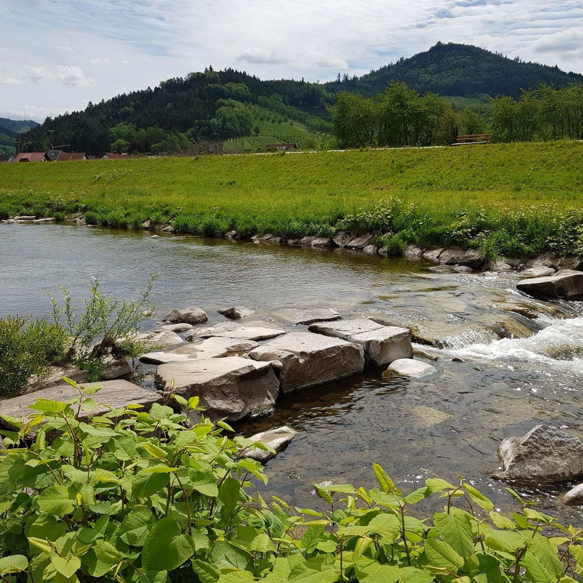
Jogging routes around Lautenbach offer a diverse landscape for runners, characterized by rolling hills, dense woodlands, and scenic river valleys, particularly along the Renchdamm Pathway. The region is nestled at the foot of the Black Forest, with routes winding through forests and alongside picturesque vineyards. Trails often lead to elevated viewpoints, providing varied terrain from gentle riverside paths to more challenging ascents. This area provides a range of running routes suitable for different fitness levels.
Best jogging routes around Lautenbach
- The most popular jogging route is Palmfelsen Viewpoint – Stierfelsen loop from Lautenbach (Baden), a 18.9 miles (30.4 km) trail that takes 3 hours 50 minutes to complete. This difficult route features significant elevation gain and panoramic views across the Black Forest foothills.
- Another top favourite among local runners is Brennersteig Trail Parking Lot loop from Lautenbach (Baden), a moderate 8.2 miles (13.3 km) path. This route follows a well-maintained trail through natural surroundings and forested areas.
- Local runners also love the Renchdamm Pathway – View of the Rench River loop from Lautenbach (Baden), a 4.2 miles (6.8 km) trail leading through river valleys and along the Renchdamm Pathway, often completed in about 42 minutes.
- Jogging around Lautenbach is defined by river paths, forested hills, and scenic viewpoints. The network offers options for different ability levels, from easy jogs along the Renchdamm Pathway to more demanding ascents.
- The routes in Lautenbach are highly rated by the komoot community with an average score of 4.6 stars from over 350 reviews. More than 5000 runners have used komoot to explore Lautenbach's varied terrain.
Last updated: September 29, 2026
4.0
(1)
86
runners
Hard run. Very good fitness required. Mostly accessible paths. Some sure footedness required.
5.0
(2)
48
runners
30.3km
03:50
1,160m
1,160m
Hard run. Very good fitness required. Mostly accessible paths. Some sure footedness required.

16
runners
Moderate run. Good fitness required. Mostly paved surfaces. Suitable for all skill levels.
5.0
(1)
27
runners
Moderate run. Good fitness required. Mostly paved surfaces. Suitable for all skill levels.
17
runners
Moderate run. Good fitness required. Mostly paved surfaces. Suitable for all skill levels.
Get access to more routes and recommendations from other explorers.
Already have an account?
Our route recommendations are based on thousands of hikes, rides, and runs completed by other people on komoot.
Start today with a free account
Your next adventure awaits.
Popular around Lautenbach
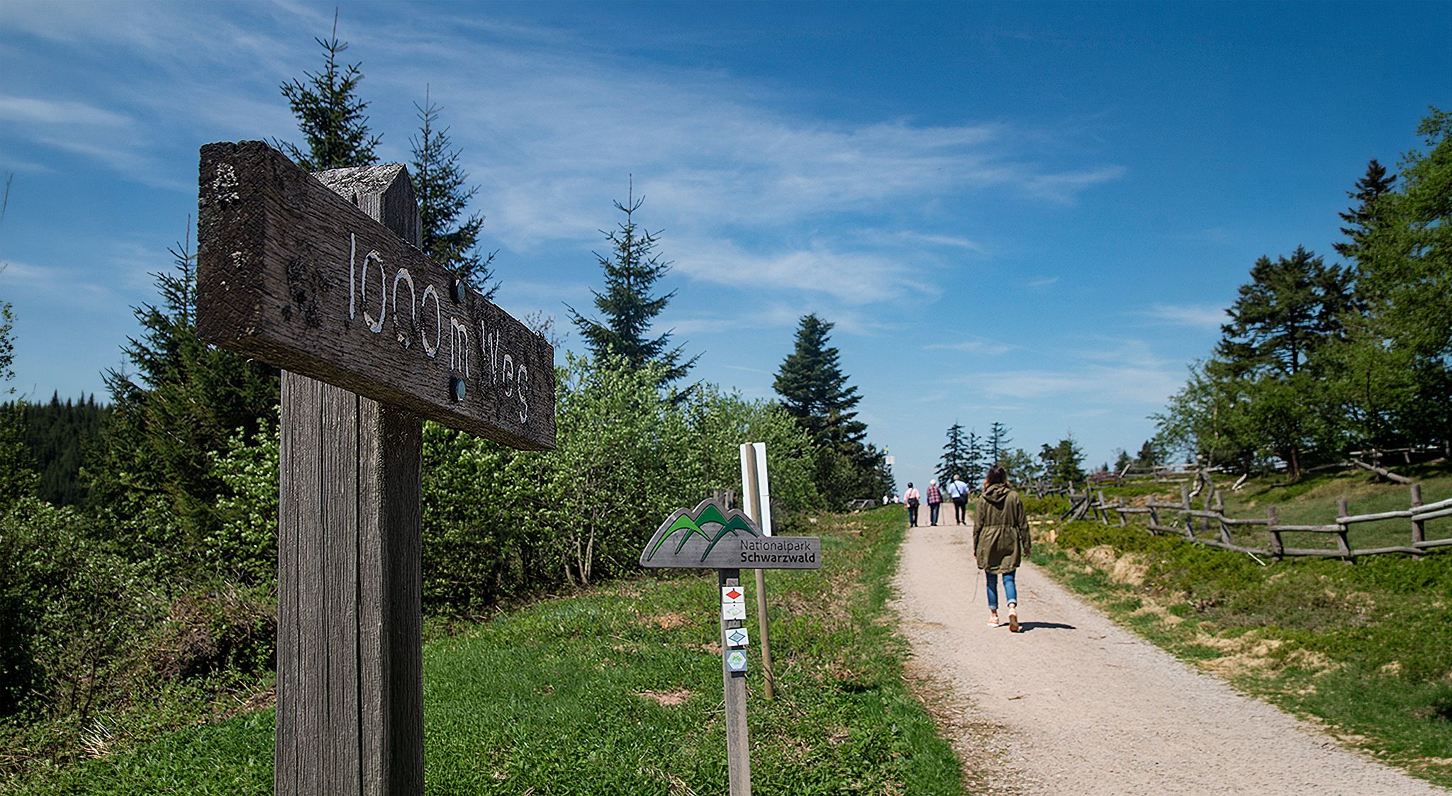
Barrier-free hikes in the Black Forest National Park
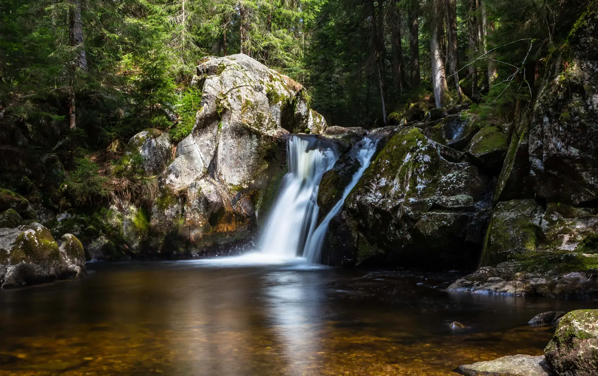
Hiking, ponds & waterfalls – superb Black Forest swimming spots

Coolcation in the Black Forest – hiking and cooling off in summer
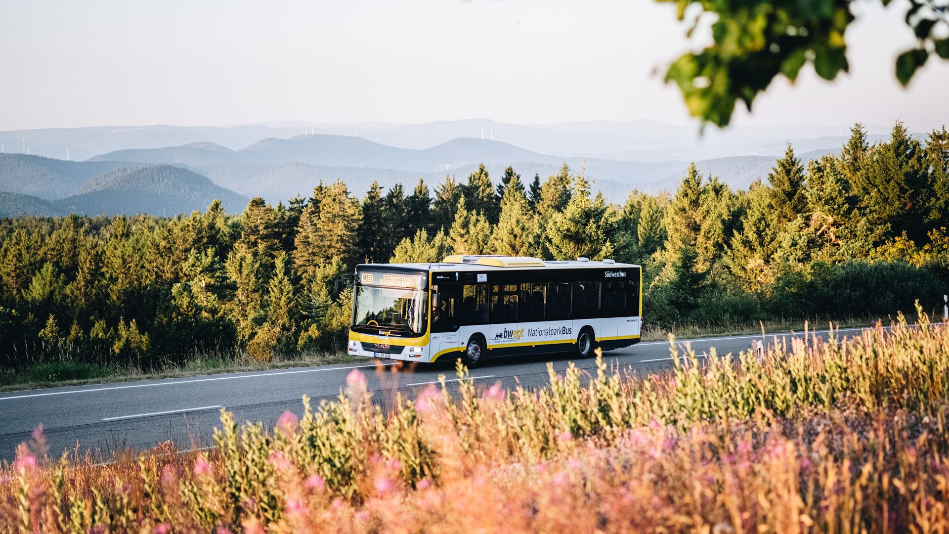
Pure nature: discover the Black Forest by bus and train
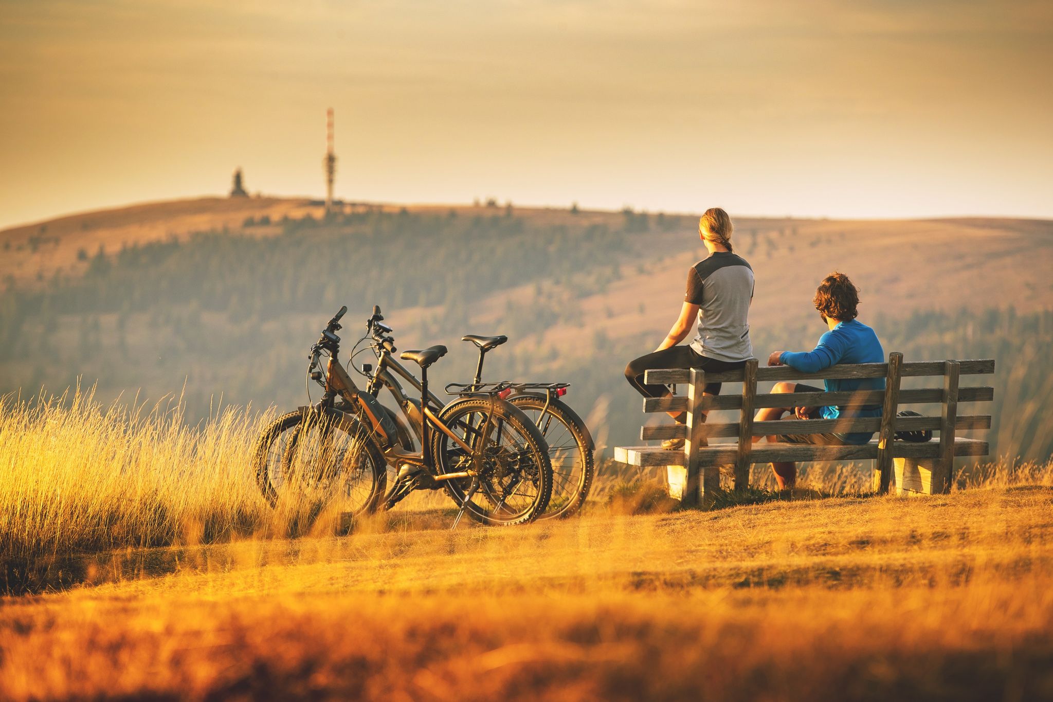
Sunny rides up to heights in the Black Forest
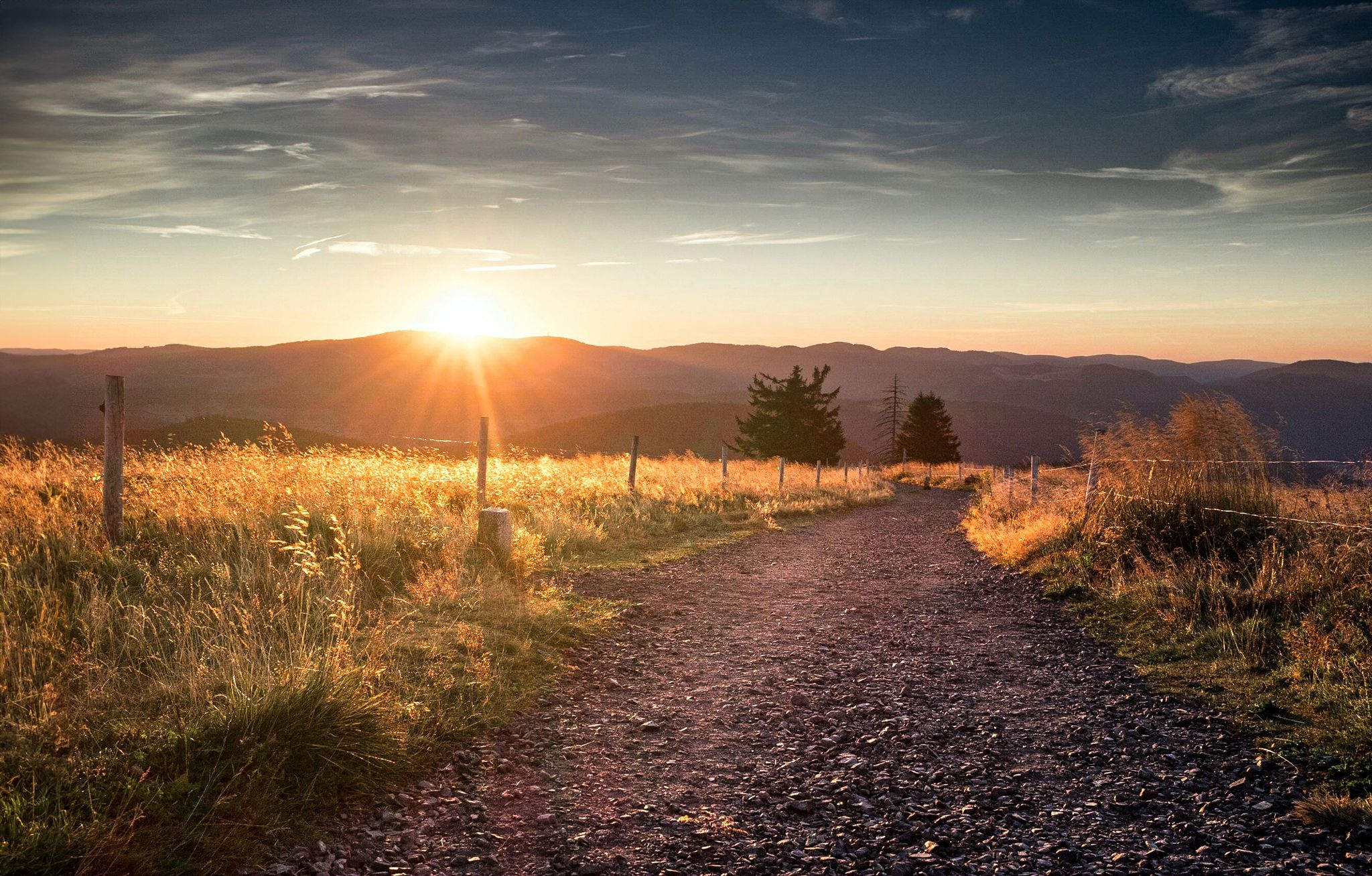
Autumn views on Genießerpfade and quality Tours in the Black Forest
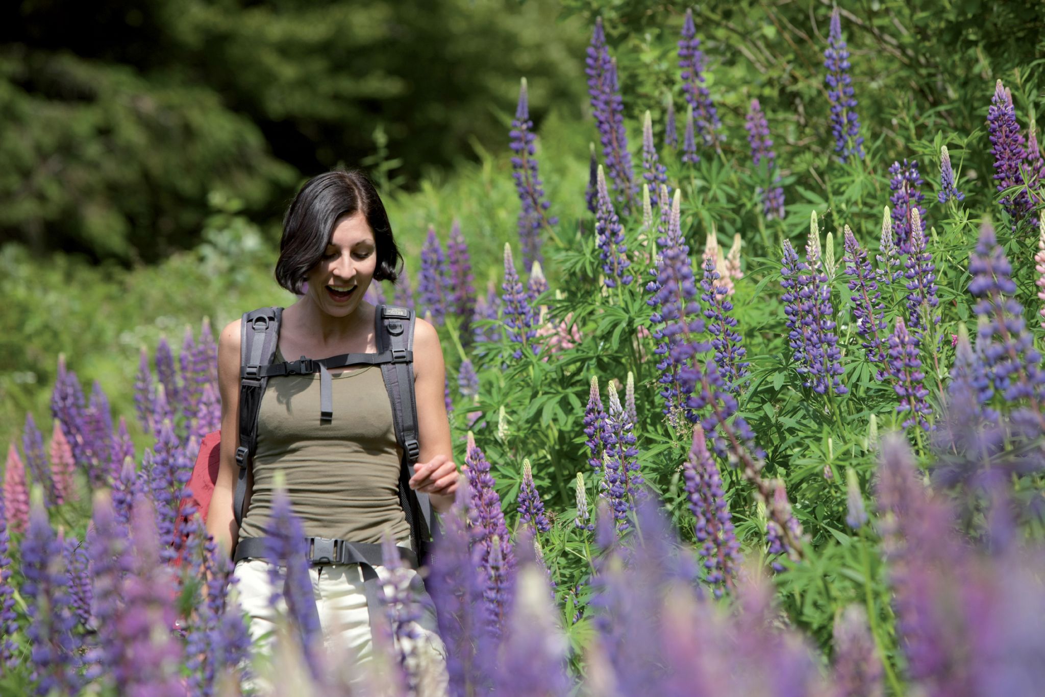
Exploring the Black Forest in Germany – fantastic trails & nature
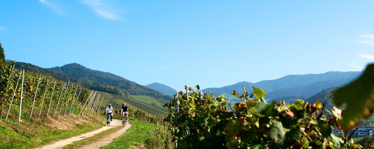
The Black Forest — Cycling in the realm of the "Bollenhüte"
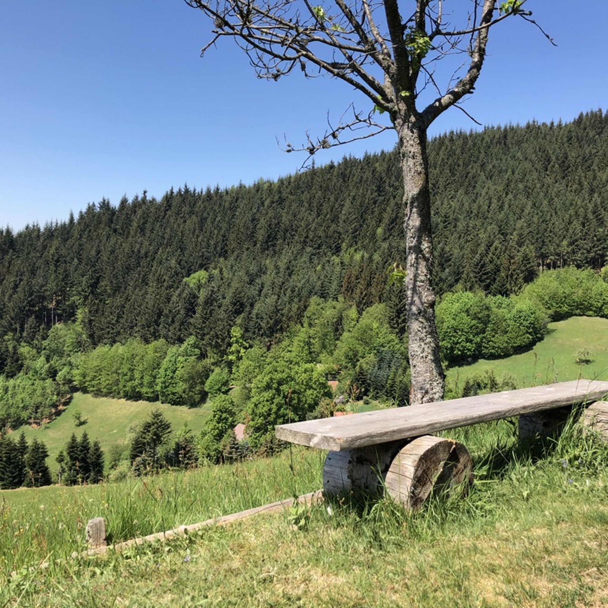
Hiking around Lautenbach
Cycling around Lautenbach
Other adventures around Lautenbach


Tips from the Community

The Sausteg was formerly an important connection to Oberkirch for the inhabitants of the Oberkirch districts of Hesselbach and Ödsbach. It got its name from the adjacent wild boar pasture belonging to the town of Oberkirch.
0
0
The Rench is 57 km long. It originates near Zuflucht at an altitude of 915m. At Helmlingen, the Rench flows into the Rhine.
0
0
The Rench is 57 km long. It originates near the Zuflucht at an altitude of 915m. Near Helmlingen, the Rench flows into the Rhine.
1
0
The B28 bridge over the Rench in Lautenbach was officially named after the former Archbishop of Strasbourg, Jean Julien Weber, in July 2021.
0
0
The Rench is 57 km long. It rises near Zuflucht at an altitude of 915 m. The Rench flows into the Rhine near Helmlingen.
4
0
The Rench is 57 km long. It rises near Zuflucht at an altitude of 915 m. The Rench flows into the Rhine near Helmlingen.
3
0
Starting point of the Lautenbach Witches' Trail.
2
0

Frequently Asked Questions
How many running routes are available around Lautenbach?
Lautenbach offers a wide selection of running routes, with over 340 trails available. These range from easy riverside paths to more challenging ascents through the hills.
Are there any easy or beginner-friendly jogging routes in Lautenbach?
Yes, Lautenbach has nearly 20 easy running routes suitable for beginners or those looking for a relaxed jog. Many of these follow the gentle terrain along river valleys, such as sections of the Renchdamm Pathway.
Can I find circular running routes in the Lautenbach area?
Absolutely. Many of the running trails around Lautenbach are designed as loops, allowing you to start and finish at the same point. For example, the Brennersteig Trail Parking Lot loop from Lautenbach (Baden) is a moderate 9.2 km circular path through natural surroundings.
What kind of scenery can I expect on the running trails in Lautenbach?
Runners in Lautenbach can enjoy diverse scenery, including rolling hills, dense woodlands, and picturesque river valleys, particularly along the Renchdamm Pathway. Many routes also lead to elevated viewpoints offering panoramic vistas of the surrounding landscape.
Are there any running routes with good viewpoints in Lautenbach?
Yes, several routes in Lautenbach feature excellent viewpoints. The region's topography means many trails ascend to higher ground, providing scenic overlooks. For instance, the challenging Palmfelsen Viewpoint – Stierfelsen loop from Lautenbach (Baden) is known for its panoramic views.
What do other runners say about the trails in Lautenbach?
The running trails in Lautenbach are highly regarded by the komoot community, holding an average rating of 4.5 stars from over 350 reviews. Runners often praise the varied terrain, from gentle river paths to more demanding ascents, and the beautiful natural surroundings.
Are there any historical sites or landmarks I can see while running near Lautenbach?
Yes, the region around Lautenbach is rich in history. You might encounter ruins of ancient structures like the All Saints' Abbey ruins or various castles such as Staufenberg Castle and Schauenburg Castle Ruins. These add an interesting dimension to your run.
Are there any specific routes that are good for a shorter run, like around 5-10 km?
Certainly. Many moderate routes fall within this distance range. For example, the Renchdamm Pathway – Brennersteig Trail Parking Lot loop from Lautenbach (Baden) is 8.7 km, and the Renchdamm Pathway – Oberkirch Old Town loop from Oberkirch is 8.2 km, both offering enjoyable running experiences.
What is the best time of year to go running in Lautenbach?
Lautenbach offers enjoyable running conditions throughout much of the year. Spring and autumn provide pleasant temperatures and beautiful scenery with blooming flowers or vibrant foliage. Summer is also popular, especially in the shaded forest sections, while winter can offer serene, crisp runs, though some higher trails might be less accessible depending on snow conditions.
Are there options for parking near the running trails in Lautenbach?
Many running routes in Lautenbach, especially those starting from trailheads or specific points of interest, offer designated parking areas. It's advisable to check the route details on komoot for specific parking information for your chosen trail, such as the starting point for the Brennersteig Trail Parking Lot loop.
Can I reach running trails in Lautenbach using public transport?
Lautenbach is generally well-connected by public transport within the region. Many routes are accessible from the village center or nearby bus stops and train stations. Checking local transport schedules and route starting points on komoot can help you plan your journey without a car.
Most popular routes around Lautenbach
Most popular attractions around Lautenbach

Get inspired with the komoot mobile app


Explore more
Browse the best Running Trails & Routes in other regions.
