The best running trails around Malsburg-Marzell
4.8
(12)
130
runners
15
runs
Jogging around Malsburg-Marzell offers diverse terrain through the Southern Black Forest. The region features rolling hills and dense forests, providing varied routes for runners. The Kander River Valley contributes to scenic paths, while the presence of mountains like Hochblauen offers opportunities for more challenging ascents and rewarding views. This landscape supports a network of trails suitable for different running preferences.
Best jogging routes around Malsburg-Marzell
- The most popular jogging route is Blauen Pass – Stühlehütte Shelter loop from Sender Blauen…
Last updated: July 5, 2026
5.0
(2)
14
runners
12.6km
01:28
230m
230m
Moderate run. Good fitness required. Mostly paved surfaces. Suitable for all skill levels.
5.0
(2)
16
runners
Hard run. Very good fitness required. Mostly paved surfaces. Suitable for all skill levels.

Sign up for free
5.0
(1)
13
runners
12.1km
01:29
240m
240m
Moderate run. Good fitness required. Mostly paved surfaces. Suitable for all skill levels.
5.0
(1)
16
runners
31.2km
04:17
990m
990m
Hard run. Very good fitness required. Sure-footedness, sturdy shoes and alpine experience required.
5.0
(2)
11
runners
7.48km
00:49
140m
140m
Moderate run. Good fitness required. Mostly paved surfaces. Suitable for all skill levels.
Get access to more routes and recommendations from other explorers.
Sign up for free
Already have an account?
Our route recommendations are based on thousands of hikes, rides, and runs completed by other people on komoot.
Start today with a free account
Your next adventure awaits.
Login or Signup
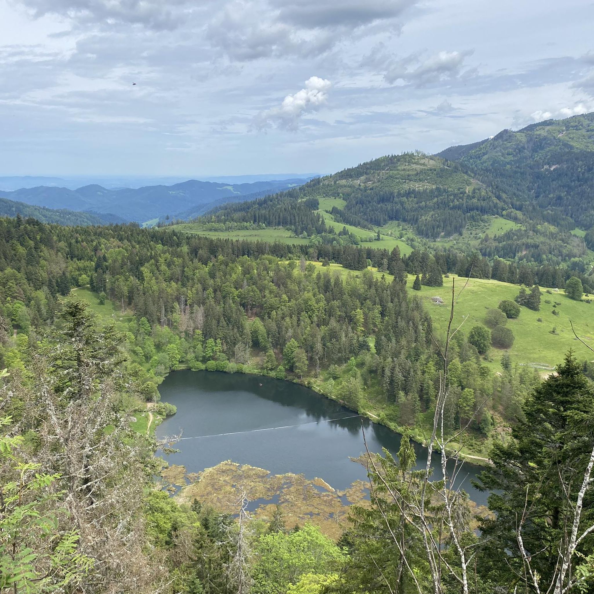
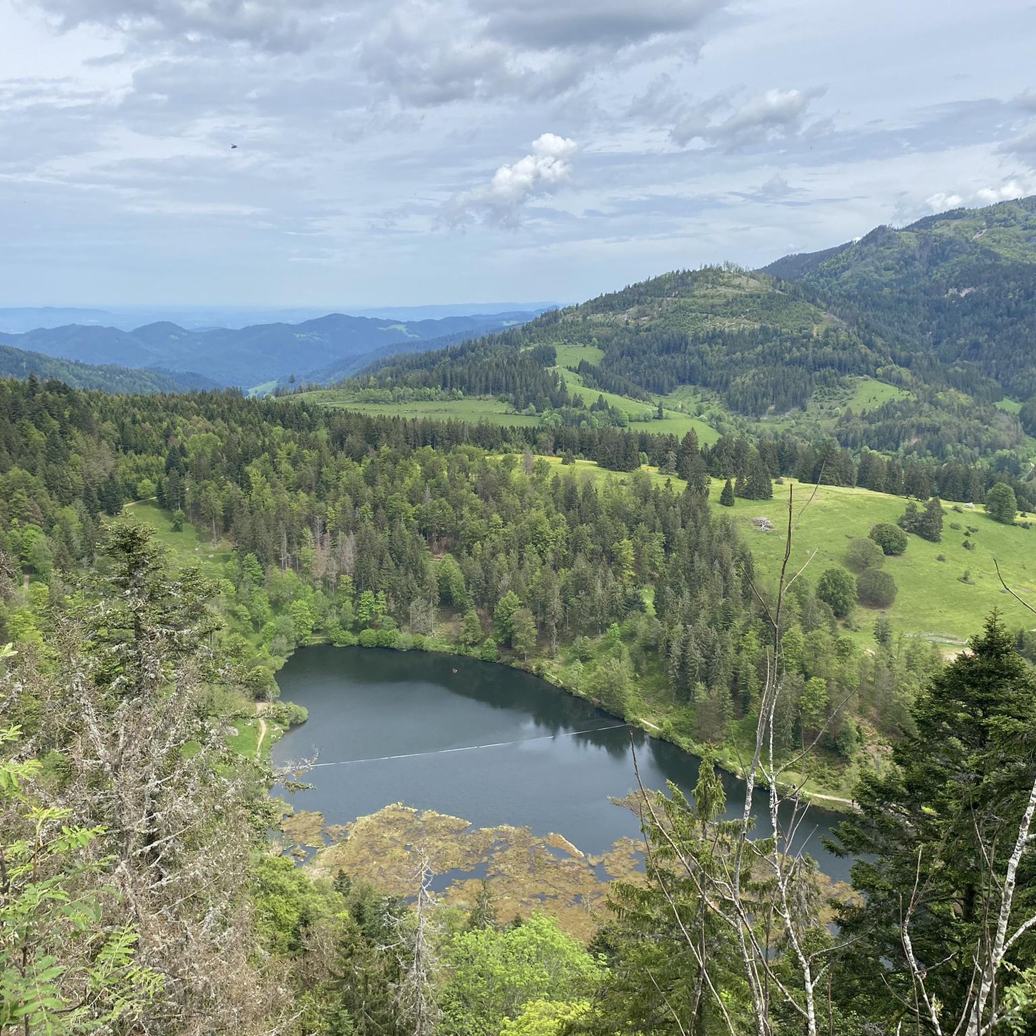
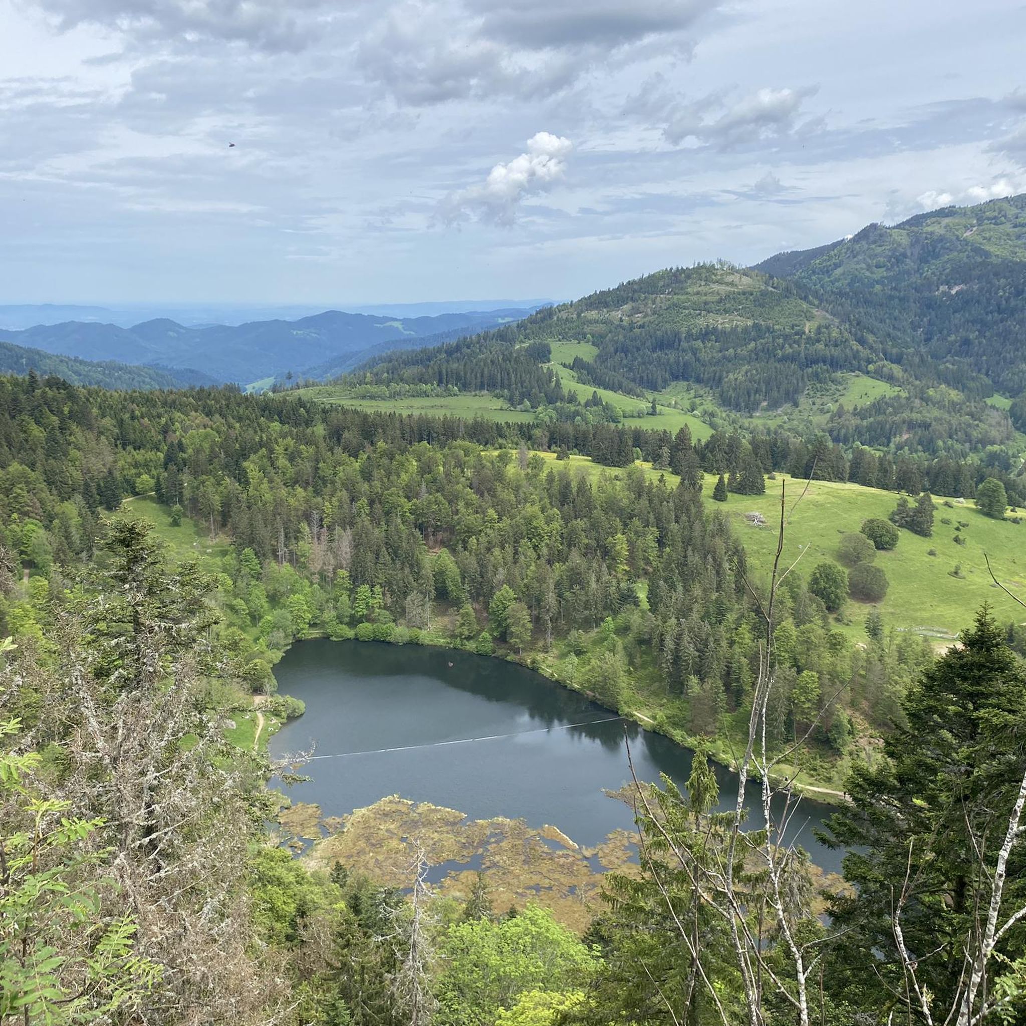
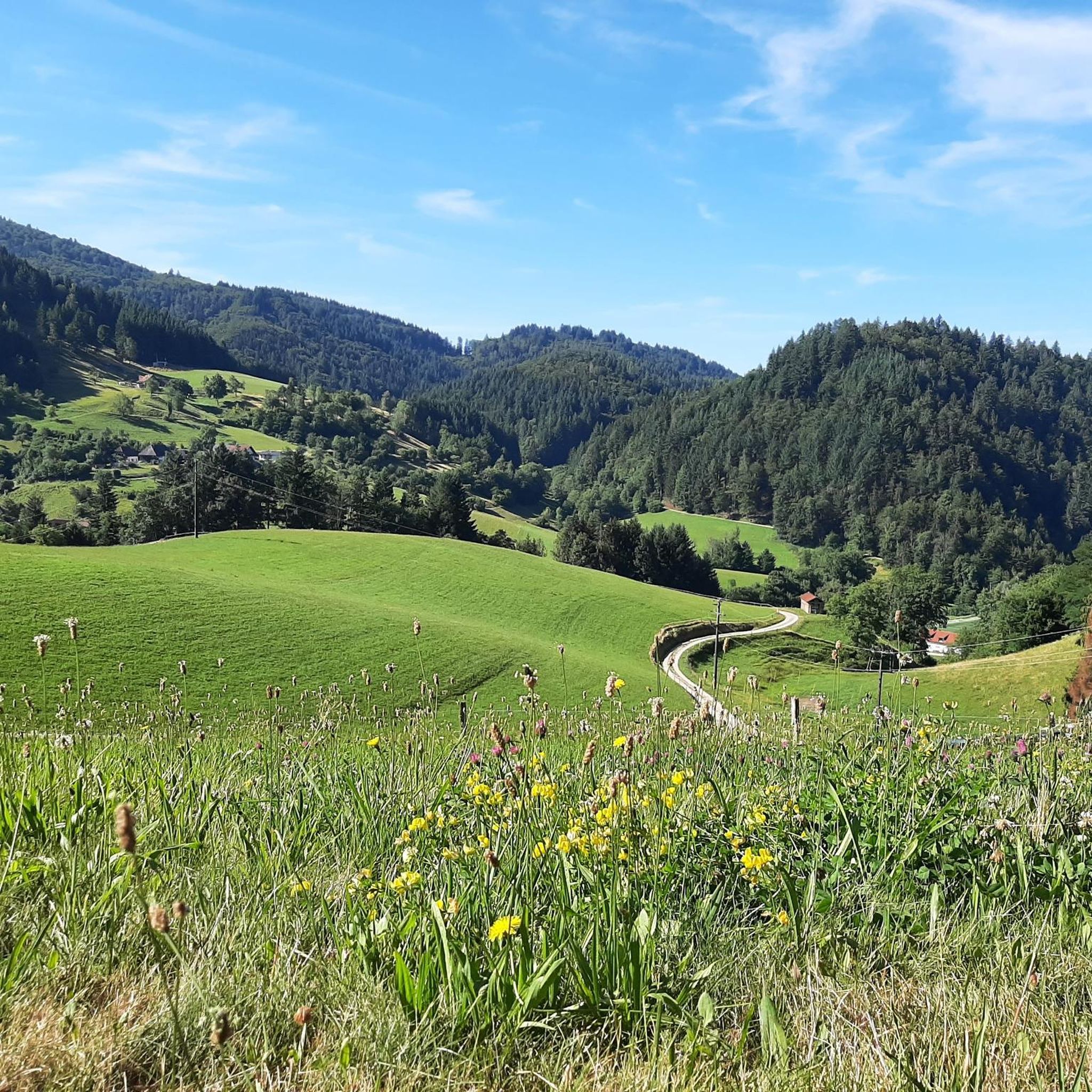


Tips from the Community


The sunrise on the Belchen is simply stunning.🌞
0
0

Located at the top station of the Belchenbahn. In my opinion, the trail offers better views.
5
1

Small but nice cabin with enough space for about 3-4 people
0
0

No messing around in the beautiful cottage 🫣
0
0


You have a magnificent view from the Blauen, perhaps because this peak seems to extend far into the Upper Rhine plain and thus offers a particularly outstanding view into the depths. But you can also see the Vosges and the Alps very well! Simply a must for every visitor to the border triangle!
2
0

Narrow, partially exposed trail along steep rocks. It is secured at critical points by an iron handrail. It's fun and usually not very attended. It gets slippery here in wet or icy weather.
1
1
Frequently Asked Questions
How many running routes are available in Malsburg-Marzell?
Malsburg-Marzell offers a wide selection of running routes, with over 15 trails documented on komoot. These routes cater to various preferences, from moderate forest paths to more challenging mountain ascents.
Are there easy running trails suitable for beginners in Malsburg-Marzell?
While the region is known for its rolling hills and varied terrain, many routes are considered moderate. There are no routes specifically classified as 'easy' in the provided data, but trails through the Kander River Valley or around the Nonnenmatt Pond might offer gentler inclines suitable for less strenuous jogs, though they may still have moderate sections. Always check the route's elevation profile before heading out.
What are the typical trail conditions like for running in Malsburg-Marzell?
The running trails in Malsburg-Marzell primarily wind through dense forests and rolling hills. You can expect well-maintained paths, but given the natural landscape, some sections may involve uneven surfaces, roots, or rocks, especially on more challenging routes. The extensive network of paths is generally suitable for trail running shoes.
Can I bring my dog on the running trails in Malsburg-Marzell?
Generally, dogs are welcome on trails in the Southern Black Forest, including Malsburg-Marzell. However, it's always advisable to keep your dog on a leash, especially in nature reserves, near livestock, or in areas with wildlife. Please be mindful of other trail users and clean up after your pet.
Are there any running routes that offer panoramic views?
Absolutely! The region is known for its rewarding vistas. For a challenging run with breathtaking scenery, consider the Blauen Pass – Blauen Observation Tower loop from Burg Stockburg. This difficult route features significant elevation gain, leading towards panoramic viewpoints from the Hochblauen, where you can see the Rhine Valley, the Vosges, and even the Alps on clear days.
What is the best time of year to go running in Malsburg-Marzell?
Malsburg-Marzell offers excellent running opportunities year-round. Spring brings blossoming fruit trees, while autumn transforms the landscape with golden leaves and stunning valley views. Even in winter, many paths are suitable for running, though some higher elevation trails might be covered in snow, which can be used for winter hiking or cross-country skiing.
Are there any circular running routes in the area?
Yes, many of the running routes in Malsburg-Marzell are designed as loops, allowing you to start and finish at the same point. An example is the Blauen Pass – Stühlehütte Shelter loop from Sender Blauen, a moderate 7.9-mile trail that winds through wooded areas.
What kind of elevation gain can I expect on running routes in Malsburg-Marzell?
The terrain in Malsburg-Marzell is characterized by rolling hills and mountainous areas, so elevation gain is a common feature. Routes can vary significantly; for instance, the View of the Wiesental – Belchensteig Frame Viewpoint loop from Burg Stockburg is a difficult route with nearly 1000 meters of elevation gain, offering a significant challenge.
What do other runners enjoy most about jogging in Malsburg-Marzell?
The running routes in Malsburg-Marzell are highly rated by the komoot community, with an average score of 4.8 stars from over 12 reviews. Runners often praise the diverse terrain, the scenic beauty of the dense forests and rolling hills, and the rewarding panoramic views from higher elevations like the Hochblauen.
Are there any notable landmarks or attractions along the running routes?
Yes, the region offers several points of interest. While running, you might encounter mountain passes like the Blauen Pass or enjoy views such as the View of Münsterhalden Valley. For those tackling more challenging routes, reaching the Summit of Blauen offers spectacular rewards.
Are there any longer running routes for endurance training?
For runners seeking longer distances and more significant challenges, Malsburg-Marzell has options. The View of the Wiesental – Belchensteig Frame Viewpoint loop from Burg Stockburg is a difficult 31.2 km (19.4 miles) route, perfect for endurance training with substantial elevation changes.
Most popular routes around Malsburg-Marzell
Most popular attractions around Malsburg-Marzell

Get inspired with the komoot mobile app


Explore more
Browse the best Running Trails & Routes in other regions.
