The best walks and hikes around Llangennith, Llanmadoc And Cheriton
4.7
(881)
6,986
hikers
46
hikes
Hikes around Llangennith, Llanmadoc and Cheriton explore the varied landscapes of the Gower Peninsula in South Wales. The region is characterized by expansive sandy beaches, large dune systems, and rolling hills. Trails cross coastal paths, salt marshes, and provide access to vantage points like Llanmadoc Hill, which offers wide views over the Loughor Estuary. The terrain offers a mix of flat beach walks and more moderate inland climbs.
Best hiking trails around Llangennith, Llanmadoc And Cheriton
- The most popular hiking…
Last updated: August 31, 2026
4.6
(34)
193
hikers
8.06km
02:06
60m
60m
Embark on the Whiteford Sands loop from Llanmadoc, a moderate 5.0-mile (8.1 km) hike with 196 feet (60 metres) of elevation gain, typically taking around 2 hours and 6 minutes…
4.9
(7)
19
hikers
8.41km
02:15
100m
100m
Embark on a moderate hike along the stunning Welsh coastline with the Blue Pool Bay near Llangennith loop. This 5.2-mile (8.4 km) route, featuring 335 feet (102 metres) of elevation…

Sign up for free
4.8
(4)
28
hikers
13.5km
03:36
150m
150m
Moderate hike. Good fitness required. Easily-accessible paths. Suitable for all skill levels.
4.6
(5)
17
hikers
10.4km
02:59
250m
250m
Moderate hike. Good fitness required. Mostly accessible paths. Sure-footedness required.
4.8
(5)
13
hikers
21.8km
06:00
350m
350m
Hike the difficult 13.6-mile Whiteford Sands & Burry Holmes Island loop from Llanmadoc, featuring coastal views and tidal island access.
Get access to more routes and recommendations from other explorers.
Sign up for free
Already have an account?
Our route recommendations are based on thousands of hikes, rides, and runs completed by other people on komoot.
Start today with a free account
Your next adventure awaits.
Login or Signup
Popular around Llangennith, Llanmadoc And Cheriton
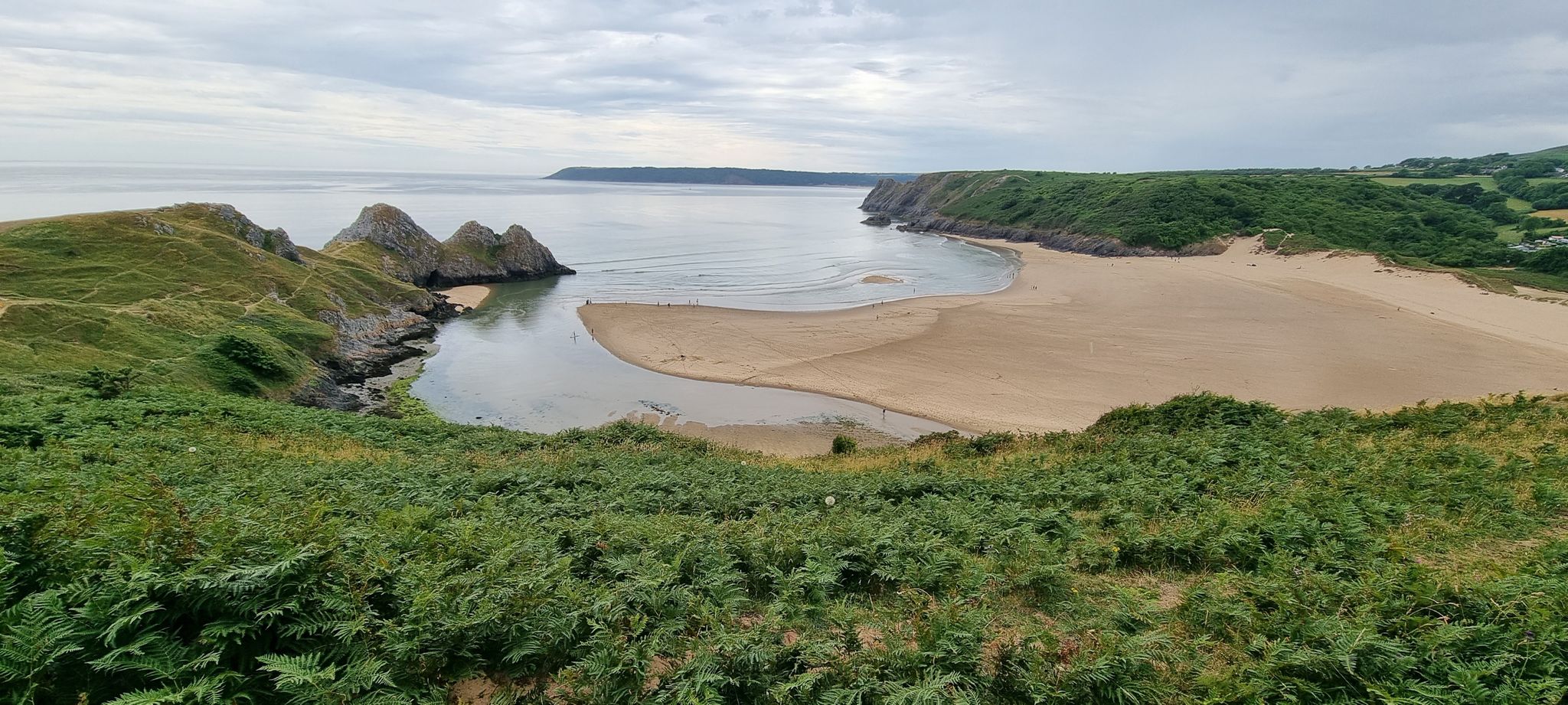
The Gower Edit — Love Trails with komoot
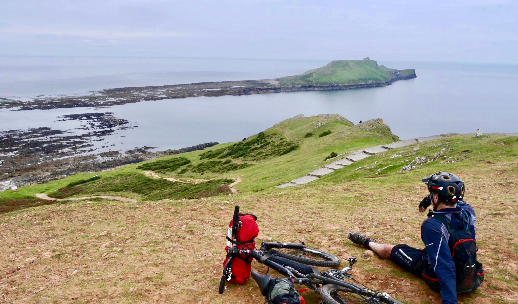
Coastal mountain biking in the South of England and Wales
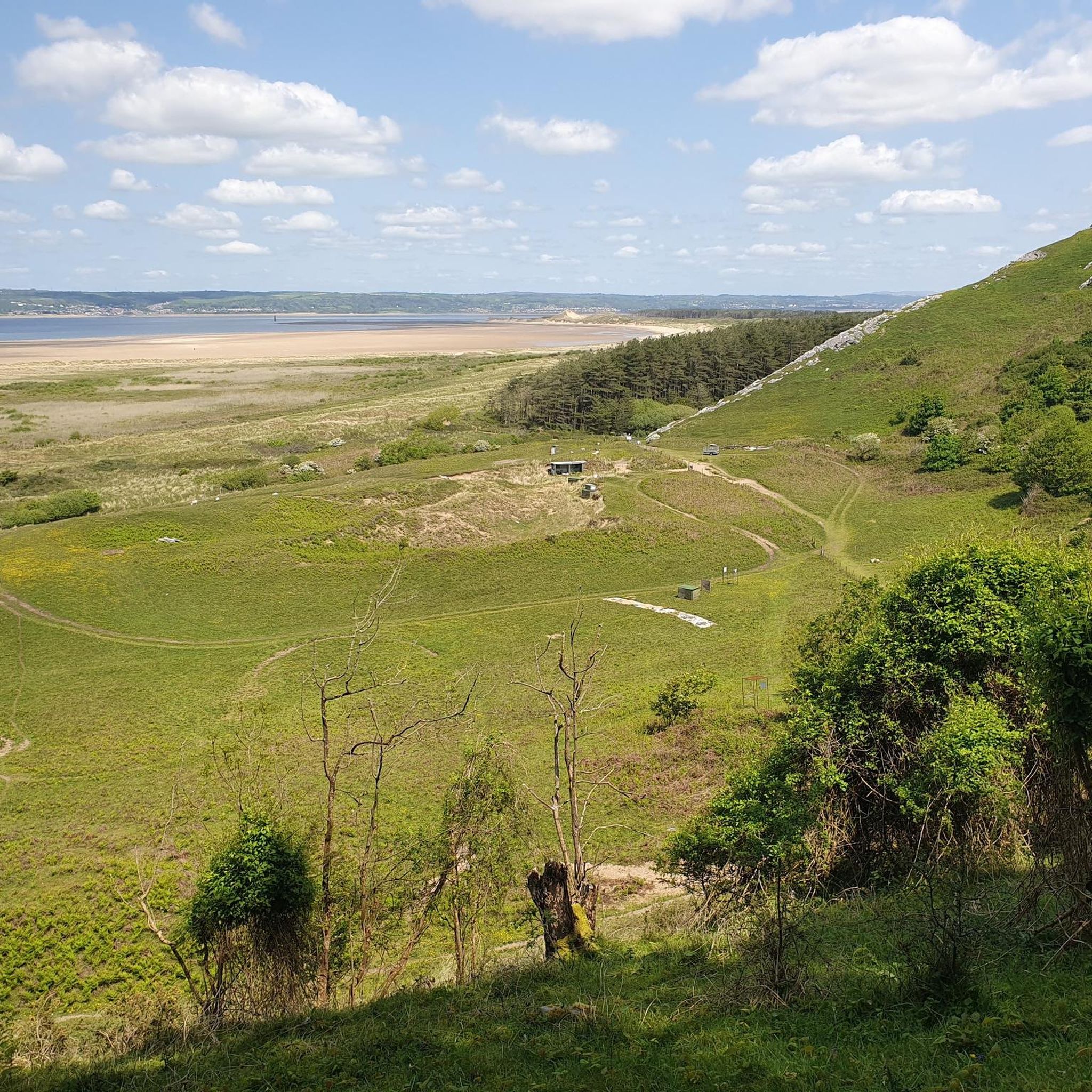
Running Trails around Llangennith, Llanmadoc And Cheriton
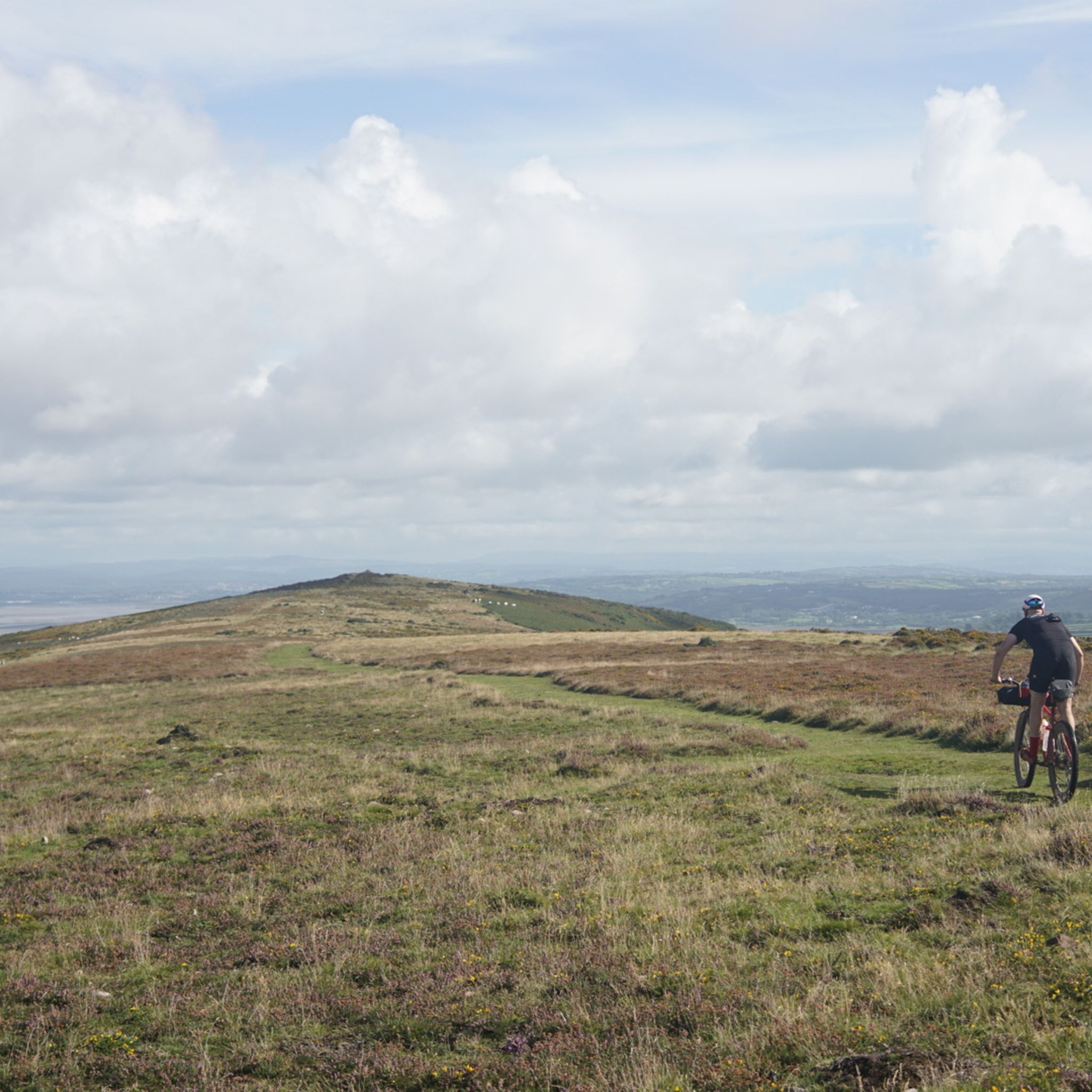
Road Cycling Routes around Llangennith, Llanmadoc And Cheriton
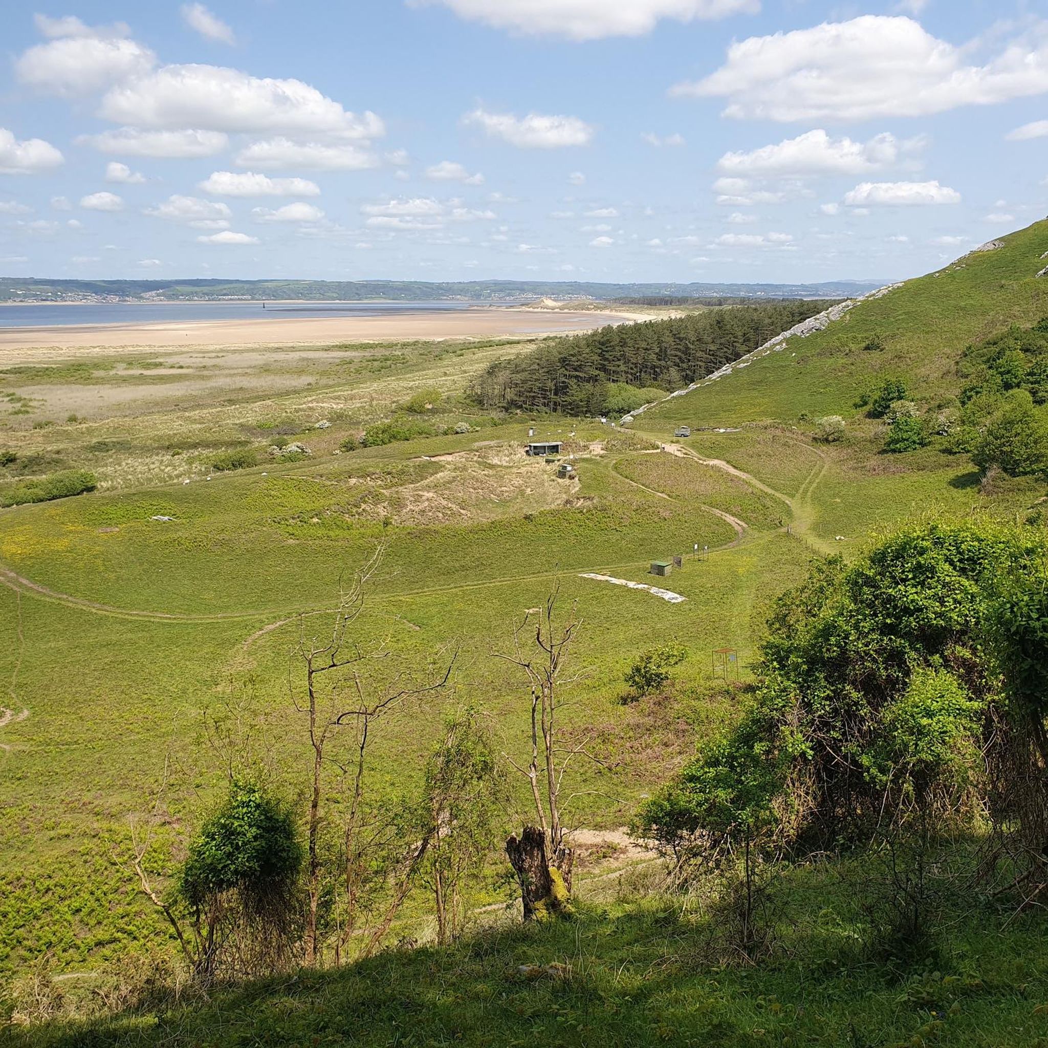
Cycling around Llangennith, Llanmadoc And Cheriton
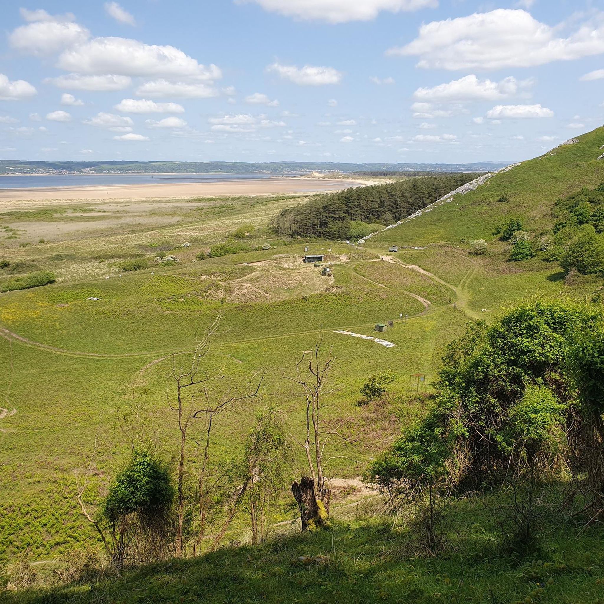
MTB Trails around Llangennith, Llanmadoc And Cheriton

Gravel biking around Llangennith, Llanmadoc And Cheriton
Other adventures around Llangennith, Llanmadoc And Cheriton


Tips from the Community

Llanmadoc Hill Summit is a 186-meter high peak on the northwest corner of the Gower Peninsula. It features a broad, open moorland summit equipped with a trig point, a cairn, and an orientation table, offering panoramic views over Whiteford Sands, the Burry Estuary, and Rhossili Down
1
0

Beautiful, peaceful and cool inside. Perfect spot to take a break during a hike and explore the church the ceiling is a must see. Outside tap to top water, tea and coffee available inside for a donation.
0
0

Broughton Bay is the northern section of the famed long sandy beach of Rhossili Bay. Compared to Rhossili, it faces more towards the estuary and feels remote, as a result it's usually quieter. Due to rip currents around the estuary, it's considered to be less suitable for swimming than other Gower beaches.
0
0


St. Cenydd’s Church is a beautiful church set in the heart of Llangennith. It was built around the 12th century on the site of a 6th-century llan, or churchyard. If a Welsh village has a 'Llan' in the name, it contains a church. The church has a long chancel, but it is the large, impressive square saddleback roofed tower with lancet windows that is a striking sight. The church was originally built on the site of a priory originally established by St. Ceyndd, who was born in the local area.
0
0
On the western tip of the Gower Peninsula is the long, sweeping bay of Rhossili. It is bordered with Worms Head on the one side and Burry Holmes Island on the other. In between are golden sands, replete with a shipwreck, that are overlooked with the long ridgeline of Rhossili Down, which culminates at its 193-metre high trig point. It is a stunning place punctuated with beautiful pink gorse bushes in the summer, along good-quality footpaths with wide panoramic views down onto the sands below and out to sea.
0
0
Llangennith village is a charming village in the Gower Penninsula set between the rolling coastal hills of Llanmadoc Hill, Rhossili Down, and Hardings Down. Beautiful St.Cenydd church is the central and focal point of the village, with the pub coming in a close second. The village is a very popular location with families and surfers.
0
0
Llanmadoc Hill has fine views across towards Rhossili Down and nearby Harding's Down. With a trig point, a cairn, and an orientation table, it has a nice broad summit, which has few access paths to the the top. At 186 metres high, it is also a UK-designated P100 hill with 105 metres of prominence.
1
0
Frequently Asked Questions
Are the trails around Llangennith, Llanmadoc, and Cheriton dog-friendly?
Yes, the Gower Peninsula is generally very welcoming to dogs. Many trails and beaches, including Llangennith beach, are accessible with dogs year-round. However, you will encounter farmland with livestock, so it's important to keep your dog on a lead in these areas. Also be mindful of ground-nesting birds in dune systems and on hillsides, especially during spring and early summer.
Where are the best places to park for a walk?
Parking is available in the villages, often near local pubs or community halls, which serve as great starting points for many circular routes. For coastal walks, there are car parks at Llangennith beach and Cwm Ivy. These can get busy, especially on sunny weekends, so arriving early is a good idea. Always park considerately and check for any local charges.
Are there any easy, family-friendly walks in the area?
Yes, the region offers several options for families. A gentle walk through the Cheriton valley to see the old packhorse bridge is a great choice for a shorter outing. The paths through the Llangennith Burrows sand dunes also provide a fun and relatively flat adventure for all ages, leading out towards the vast expanse of Broughton Bay.
Do I need to check tide times for any of the walks?
Yes, checking the tides is crucial for some coastal routes. Access to the tidal island of Burry Holms and the dramatic promontory of Worm's Head is entirely dependent on low tide. The walk to the iconic cast-iron lighthouse at Whiteford Point is also best and most safely enjoyed at low tide. Always check a local tide table before you set off on these specific adventures.
What is the hike up Llanmadoc Hill like?
The walk to the summit of Llanmadoc Hill is a rewarding climb with fantastic panoramic views. The trail takes you through heather-clad slopes to the top, which sits at 186 meters. At the summit, you'll find historical points of interest, including a Bronze Age burial cairn and an Iron Age hillfort known as The Bulwark. It's a moderate climb that offers some of the best vistas in the Gower.
Can you suggest a longer, more challenging hike?
For a demanding but spectacular day of hiking, the Whiteford Sands & Burry Holmes Island loop from Llanmadoc — Gŵyr / Gower is an excellent choice. This 13.6-mile (21.8 km) route is a serious undertaking that combines sandy beaches, dunes, and a tidal island crossing, requiring careful planning around the tides.
Are there any circular walks that explore the coast and countryside?
Absolutely. A great option that combines varied scenery is the Whiteford Sands long loop from Llanmadoc — Gŵyr / Gower. This 8.4-mile (13.5 km) route takes you through the Whiteford National Nature Reserve, along the expansive beach, and back through quiet countryside paths, offering a fantastic overview of the area's diverse landscapes.
What do other hikers say about the trails in this area?
The trails around Llangennith, Llanmadoc, and Cheriton are highly regarded by the komoot community, with an average rating of 4.7 stars. Hikers frequently praise the stunning coastal views, the variety of terrain from sandy beaches to rolling hills, and the sense of peace found on the quieter paths away from the main hotspots.
How many hiking trails are available around Llangennith, Llanmadoc, and Cheriton?
There are over 50 curated hiking routes to explore in the area. These range from short, easy strolls perfect for families to challenging all-day treks along the coast. The network of paths covers beaches, dunes, hills, and quiet valleys, ensuring there's a trail for every ability level.
What kind of wildlife might I see while hiking?
The area is rich in biodiversity. On the coast and in the Whiteford National Nature Reserve, you can spot various seabirds and waders. The skies above Llanmadoc Hill are home to birds like skylarks and linnets. The coastal grasslands are also known for their vibrant wildflowers, especially in spring and summer.
Are there any historical sites to see on the walks?
Yes, the region is dotted with history. Key sites you can incorporate into a walk include the Iron Age hillfort known as The Bulwark on Llanmadoc Hill, the medieval monastery ruins on Burry Holms island (tide dependent), and the picturesque 14th-century packhorse bridge in the Cheriton valley.
When is the best time of year to hike here?
Hiking is possible year-round, but late spring and summer offer the best conditions with warmer weather and blooming coastal flora. Autumn brings beautiful colours to the landscape and fewer crowds. Winter walks can be bracing and dramatic, but be sure to check weather forecasts and come prepared for changeable conditions.
Most popular routes around Llangennith, Llanmadoc And Cheriton
Most popular attractions around Llangennith, Llanmadoc And Cheriton

Get inspired with the komoot mobile app


Explore more
Browse the best Hikes in other regions.
