The best mountain hikes around Gutach im Breisgau
5.0
(3)
16
hikers
3
hikes
Mountaineering around Gutach im Breisgau is characterized by its diverse terrain within the Black Forest region. The landscape features dense woodlands, deep valleys, and elevated peaks offering expansive views. Routes often involve significant elevation changes, traversing through forested slopes and open ridges. The area provides a mix of challenging ascents and more moderate paths through its varied topography.
Best mountaineering routes around Gutach im Breisgau
- The most popular mountaineering route is View from the Kandel – Kandel Summit Viewpoint loop…
Last updated: October 5, 2026
7
hikers
18.7km
06:51
970m
970m
Hard mountaineering route. Very good fitness required. Mostly accessible paths. Sure-footedness required.
5.0
(1)
2
hikers
6.96km
02:19
220m
220m
Moderate mountaineering route. Good fitness required. Mostly accessible paths. Sure-footedness required.

5.0
(1)
2
hikers
Hard mountaineering route. Very good fitness required. Sure-footedness, sturdy shoes and alpine experience required.
Our route recommendations are based on thousands of hikes, rides, and runs completed by other people on komoot.
Start today with a free account
Your next adventure awaits.
Popular around Gutach im Breisgau
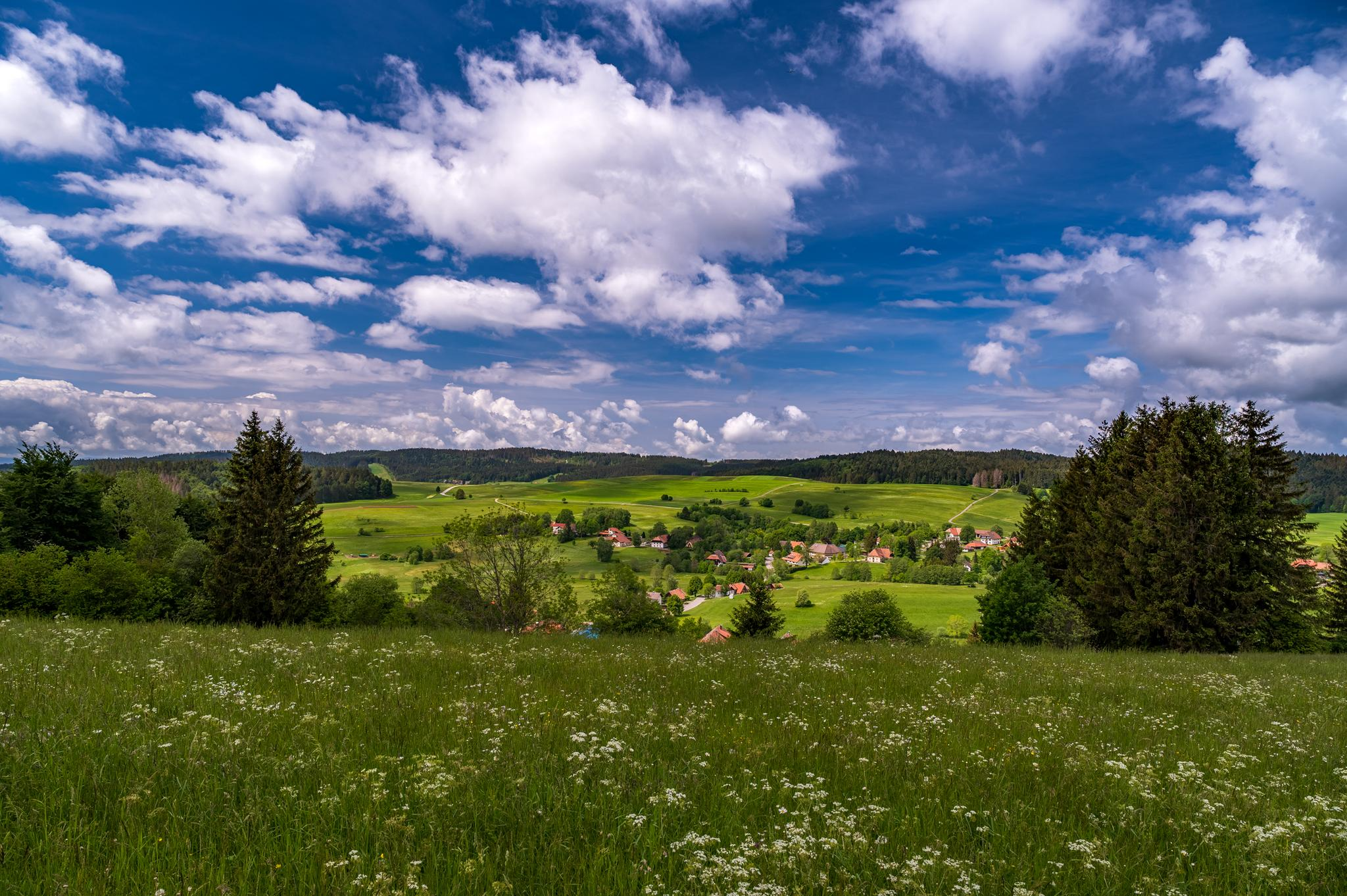
Village getaways in the Black Forest – small towns, great hiking
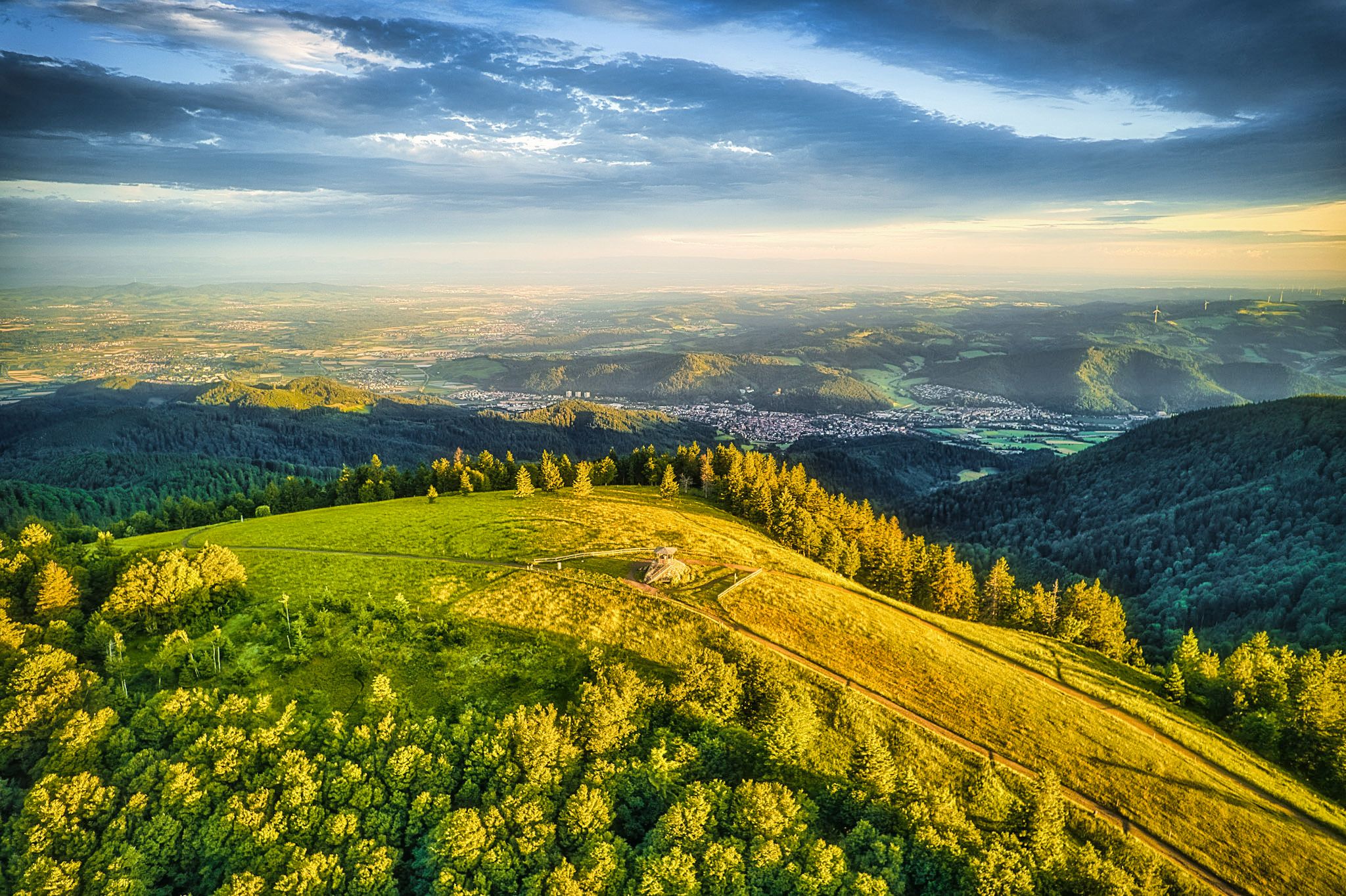
Two valleys, endless views – hiking in the ZweiTälerLand
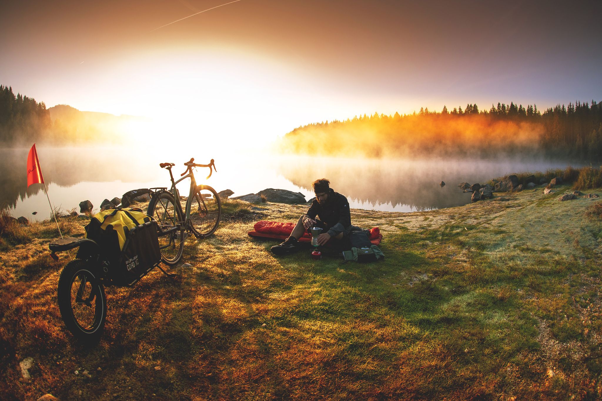
Unforgettable gravel overnighters in the Black Forest
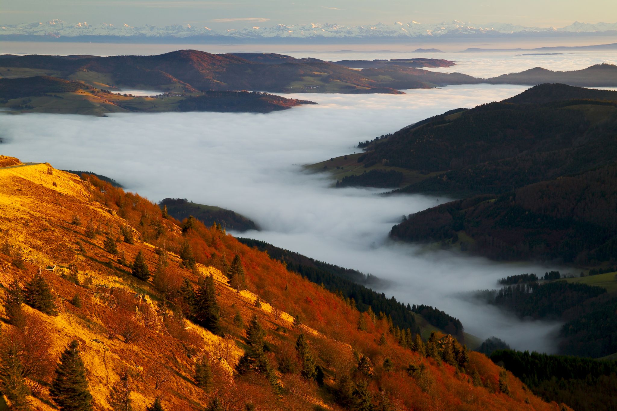
Herbst. Wandern. Farbenspiel.
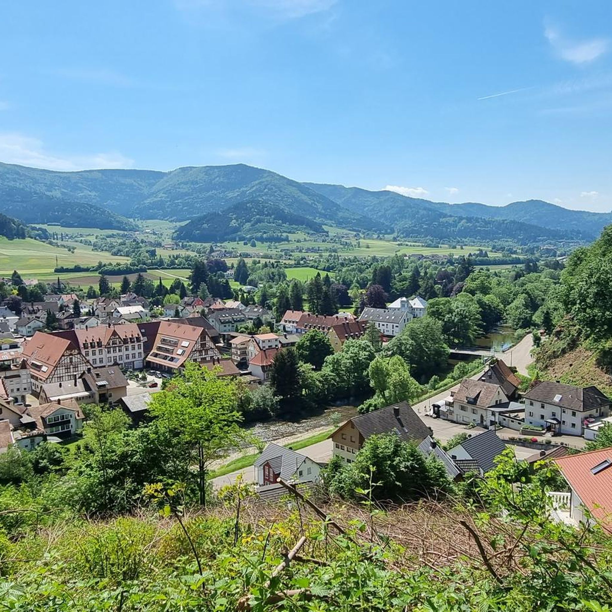
Cycling around Gutach im Breisgau
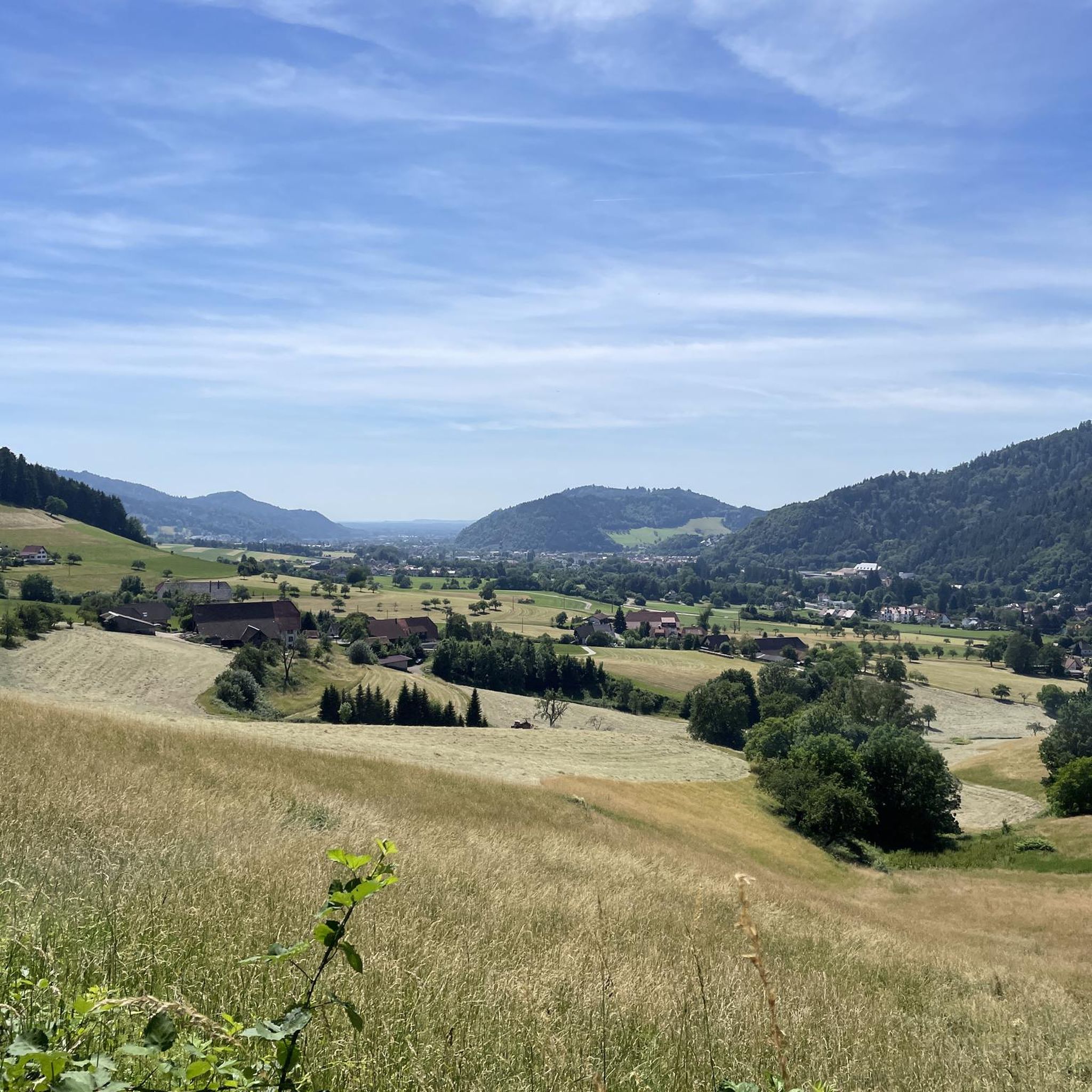
Hiking around Gutach im Breisgau
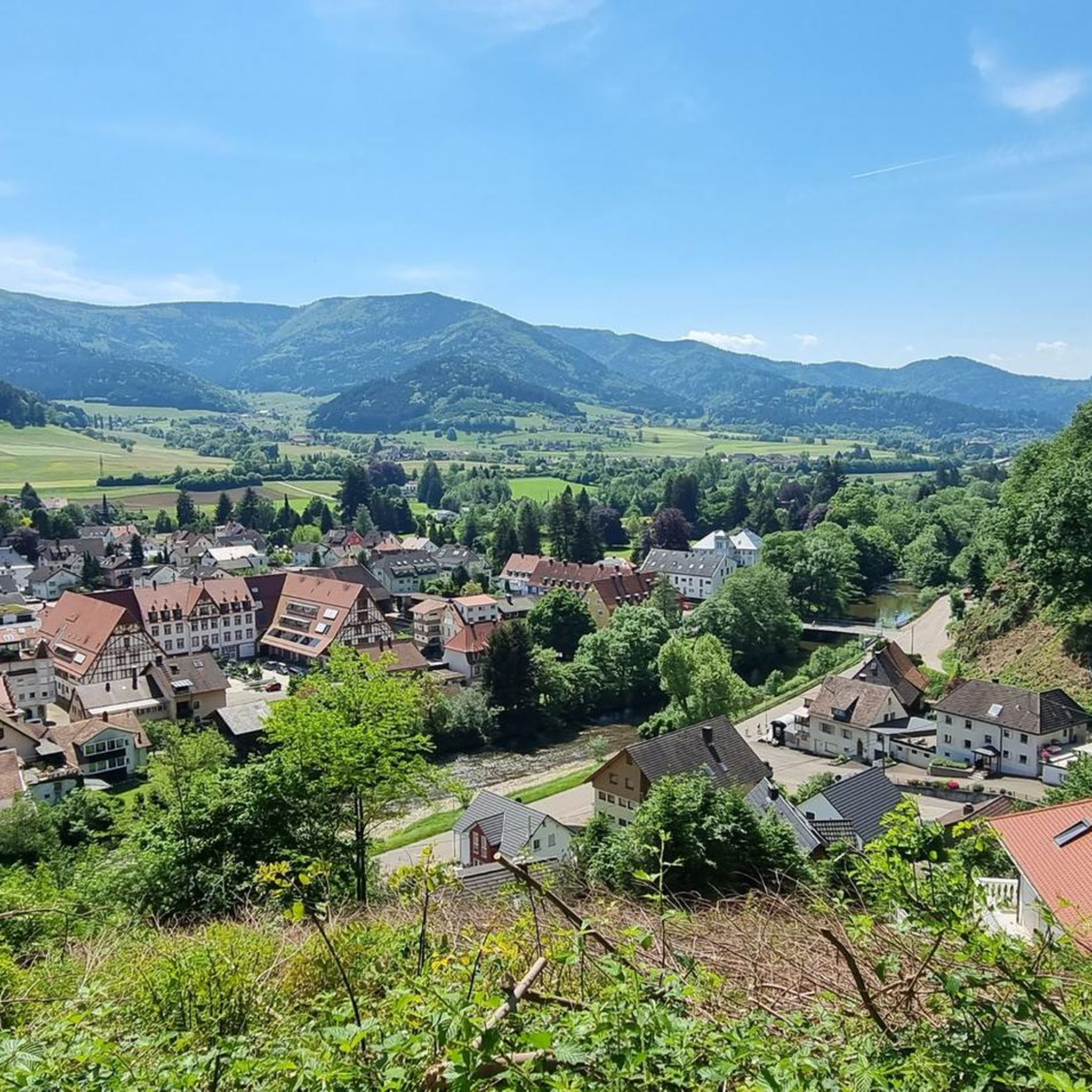
Road Cycling Routes around Gutach im Breisgau
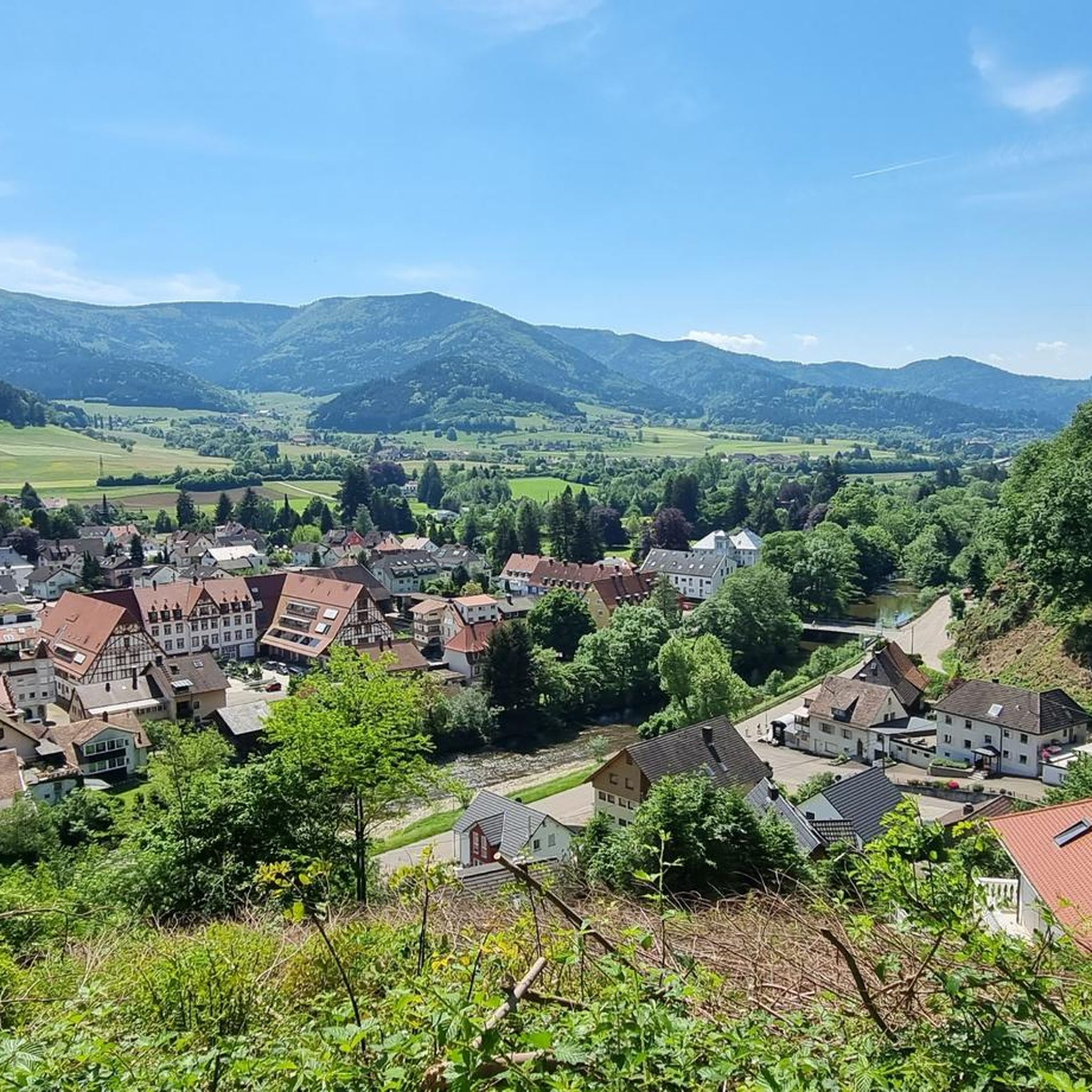
MTB Trails around Gutach im Breisgau
Running Trails around Gutach im Breisgau
Gravel biking around Gutach im Breisgau
Other adventures around Gutach im Breisgau


Tips from the Community

Here you can strengthen yourself after a hike and watch the paragliders on their launch site next door from the terrace.
0
0

Very interesting castle ruins with a great view.
0
0

Beautiful view over the peaks and meadows.
2
1

The mountain panorama here is truly stunning, and the wind turbines blend beautifully into the landscape. It's really cool how energy use and nature coexist so perfectly here. The climb from the Zweribach waterfalls is particularly impressive. Behind you, you've left behind the dark, rugged forest, and in front of you, lush meadows.
0
0

The Child Protection Association recalls the 1989 Convention on the Rights of the Child
1
2

A good idea 👍 of the Child Protection Association so that it might also be considered whether the little ones always get their rights
2
1

Dangerous when wet, icy and snowy but beautiful. An experience for children when dry
1
1

If you hike from the Zweribach waterfalls up to Langeck, you will find a lovely resting place with a wonderful view over the Gutach valley.
0
0
Frequently Asked Questions
How many mountaineering routes can I explore around Gutach im Breisgau?
There are several mountaineering routes available around Gutach im Breisgau, offering diverse experiences within the Black Forest region. The komoot community has mapped out at least 4 distinct tours for you to discover.
Are there any easy or beginner-friendly mountaineering routes in Gutach im Breisgau?
While many routes in Gutach im Breisgau are challenging, there are options suitable for those looking for a more moderate experience. For instance, the Mountaineering loop from Potsdamer Platz is a moderate 6.8 km route that takes about 2 hours 17 minutes to complete, offering a good introduction to the area's terrain.
What are some challenging mountaineering routes for experienced hikers?
For experienced mountaineers seeking a challenge, the region offers demanding routes with significant elevation gains. Consider the Wehrlehof Mill – Schultiskopf (1,072 m) loop from Simonswald, a difficult 21.7 km path ascending to the Schultiskopf peak, providing extensive vistas over the surrounding valleys. Another difficult option is the Waldkirch Industrial Canal – Langeck Hut loop from Waldkirch (Breisgau), covering 18.5 km with nearly 1000 meters of ascent.
Are there any circular mountaineering routes in the area?
Yes, many of the mountaineering routes around Gutach im Breisgau are designed as loops, allowing you to start and end at the same point. Examples include the popular View from the Kandel – Kandel Summit Viewpoint loop from Waldkirch and the Hintereck Hut – Wildgutach Waterfall loop from Beim Engel.
What kind of scenic viewpoints can I expect on these routes?
The mountaineering routes in Gutach im Breisgau often lead to stunning panoramic viewpoints. The View from the Kandel – Kandel Summit Viewpoint loop from Waldkirch, for example, offers expansive views from the Kandel summit. Other routes provide vistas over deep valleys and the dense woodlands characteristic of the Black Forest.
Are there any routes that pass by waterfalls or other natural attractions?
Yes, you can find routes that include natural highlights. The Hintereck Hut – Wildgutach Waterfall loop from Beim Engel specifically leads through forested areas and past the Wildgutach Waterfall, offering a refreshing natural spectacle.
What is the best time of year for mountaineering in Gutach im Breisgau?
The Black Forest region around Gutach im Breisgau is generally pleasant for mountaineering from late spring through early autumn (May to October). During these months, you can expect milder weather, lush greenery, and accessible trails. Winter mountaineering is possible but requires appropriate gear and awareness of snow and ice conditions.
Are there any mountain huts or cafes along the mountaineering routes?
While specific details for every route vary, the Black Forest region is known for its hospitality. Some routes, like the Hintereck Hut – Wildgutach Waterfall loop from Beim Engel, mention huts, suggesting opportunities for rest and refreshments. You might also find traditional Black Forest inns or cafes in nearby villages or at popular viewpoints.
What equipment should I bring for mountaineering in this region?
For mountaineering in Gutach im Breisgau, it's essential to wear sturdy hiking boots with good ankle support, as routes often involve significant elevation changes and varied terrain. Pack layers of clothing suitable for changing weather conditions, rain gear, sufficient water, snacks, a map or GPS device, and a first-aid kit. Trekking poles can also be beneficial on steeper sections.
What do other mountaineers enjoy most about the routes in Gutach im Breisgau?
The mountaineering routes in Gutach im Breisgau are highly rated by the komoot community, with an average score of 5.0 stars. Reviewers often praise the diverse terrain, the challenging ascents, and the rewarding panoramic views from the peaks and viewpoints. The blend of dense woodlands and open ridges is frequently highlighted as a key attraction.
Are there any interesting landmarks or historical sites near the mountaineering trails?
Yes, the region offers several points of interest. You can explore historical sites like the Grube Caroline Visitor Mine, which provides insight into the area's mining history. There are also natural formations such as the Stone Shelter Cave (Naturpark Südschwarzwald) and various mountain passes like the Gscheid Pass, which are often part of or accessible from mountaineering routes.
Most popular routes around Gutach im Breisgau
Most popular attractions around Gutach im Breisgau

Get inspired with the komoot mobile app


Explore more
Browse the best Mountain Hikes & Routes in other regions.
