The best mountain hikes in Haut-Rhin
4.6
(70)
259
hikers
43
hikes
Mountaineering in Haut-Rhin offers diverse terrain within the Vosges Mountains, characterized by prominent peaks, extensive forests, and scenic valleys. The region features high mountain pastures, glacial lakes like Lac Blanc, and the dramatic landscapes of the Alsace plain. These natural features provide varied opportunities for mountaineering, from challenging ascents to routes through tranquil woodlands.
Best mountaineering routes in Haut-Rhin
- The most popular mountaineering route is Krappenfels – Col de la Schlucht loop from Col de la Schlucht, a 4.1 miles (6.6 km) trail that takes 2 hours 33 minutes to complete. This difficult route offers views near the Col de la Schlucht.
- Another top favourite among local mountaineers is Lake Fischboedle – Hohneck loop from Col de la Schlucht, a difficult 12.1 miles (19.5 km) path. This route explores the area around the Hohneck, the second-highest peak in the Vosges, and passes by Lake Fischboedle.
- Local mountaineers also love the Beautiful view loop from Le Valtin, a 9.4 miles (15.1 km) trail leading through varied terrain, often completed in about 5 hours 23 minutes.
- Mountaineering in Haut-Rhin is defined by the majestic Vosges Mountains, picturesque glacial lakes, and extensive forests. The network offers options for different ability levels, from moderate paths to challenging ascents.
- The routes in Haut-Rhin are highly rated by the komoot community with an average score of 4.6 stars from 70 reviews. More than 260 mountaineers have used komoot to explore Haut-Rhin's varied terrain.
Last updated: July 4, 2026
4.9
(8)
41
hikers
6.64km
02:33
270m
270m
Hard mountaineering route. Good fitness required. Sure-footedness, sturdy shoes and alpine experience required.
4.7
(6)
21
hikers
19.4km
07:50
970m
970m
Hard mountaineering route. Very good fitness required. Sure-footedness, sturdy shoes and alpine experience required.

Sign up for free
4.9
(8)
14
hikers
Hard mountaineering route. Very good fitness required. Sure-footedness, sturdy shoes and alpine experience required.
5.0
(2)
20
hikers
19.8km
07:02
760m
760m
Hard mountaineering route. Very good fitness required. Sure-footedness, sturdy shoes and alpine experience required.
4.8
(4)
14
hikers
5.07km
02:00
210m
210m
Hard mountaineering route. Good fitness required. Sure-footedness, sturdy shoes and alpine experience required.
4.8
(4)
13
hikers
4.71km
01:58
220m
220m
Hard mountaineering route. Great for any fitness level. Sure-footedness, sturdy shoes and alpine experience required.
4.7
(3)
16
hikers
12.0km
04:04
460m
460m
Moderate mountaineering route. Good fitness required. Mostly accessible paths. Sure-footedness required.
4.5
(4)
7
hikers
Moderate mountaineering route. Good fitness required. Mostly accessible paths. Sure-footedness required.
5.0
(1)
7
hikers
Hard mountaineering route. Good fitness required. Sure-footedness, sturdy shoes and alpine experience required.
5.0
(2)
7
hikers
Moderate mountaineering route. Great for any fitness level. Mostly accessible paths. Sure-footedness required.
Get access to more routes and recommendations from other explorers.
Sign up for free
Already have an account?
Our route recommendations are based on thousands of hikes, rides, and runs completed by other people on komoot.
Start today with a free account
Your next adventure awaits.
Login or Signup
Popular around Haut-Rhin
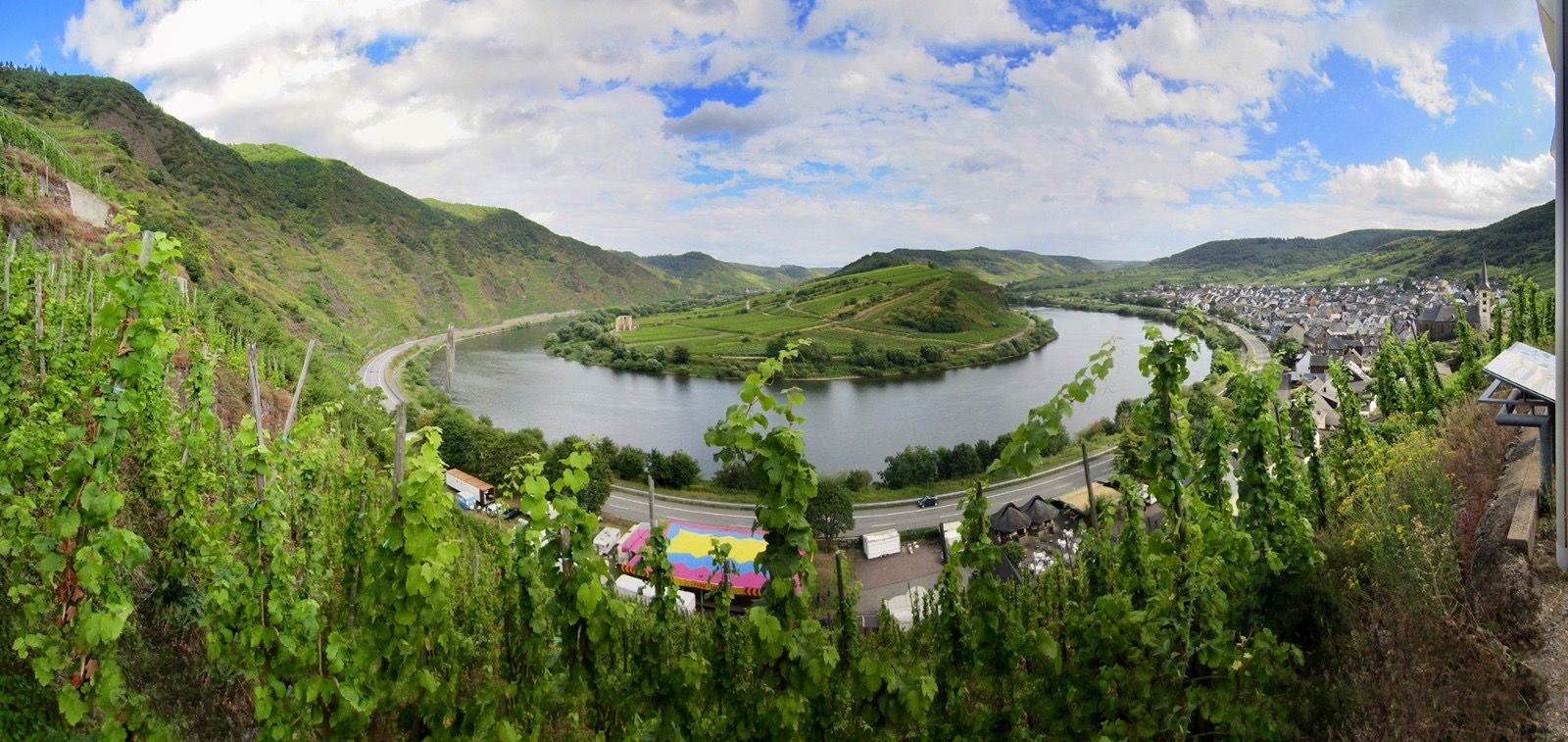
The Moselle cycle path — from the Vosges to the Rhine in 18 stages

Sentier de l'Europe (GR 5) – Montbéliard to Abreschviller
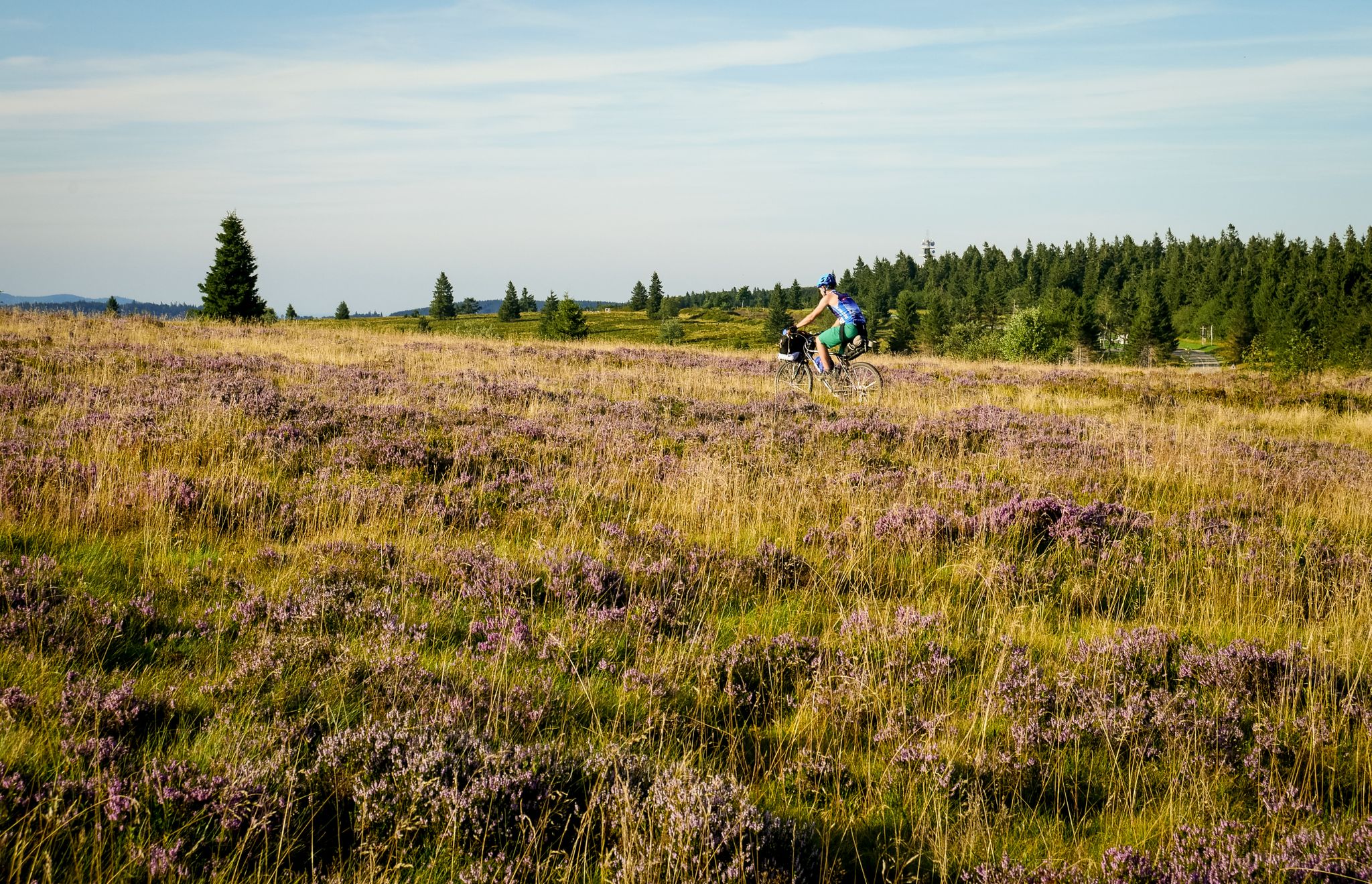
Traversée du Massif Vosgien — Alsace bikepacking
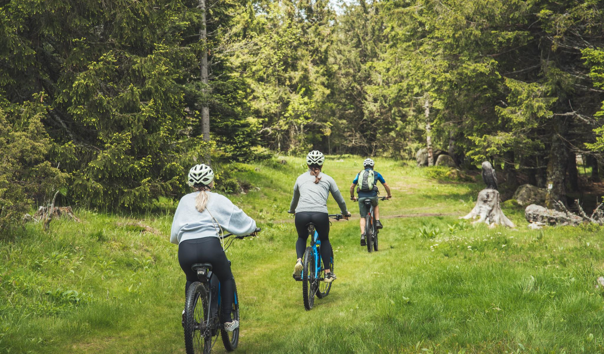
MTB and gravel in the Grand Est – the joy of the low mountains
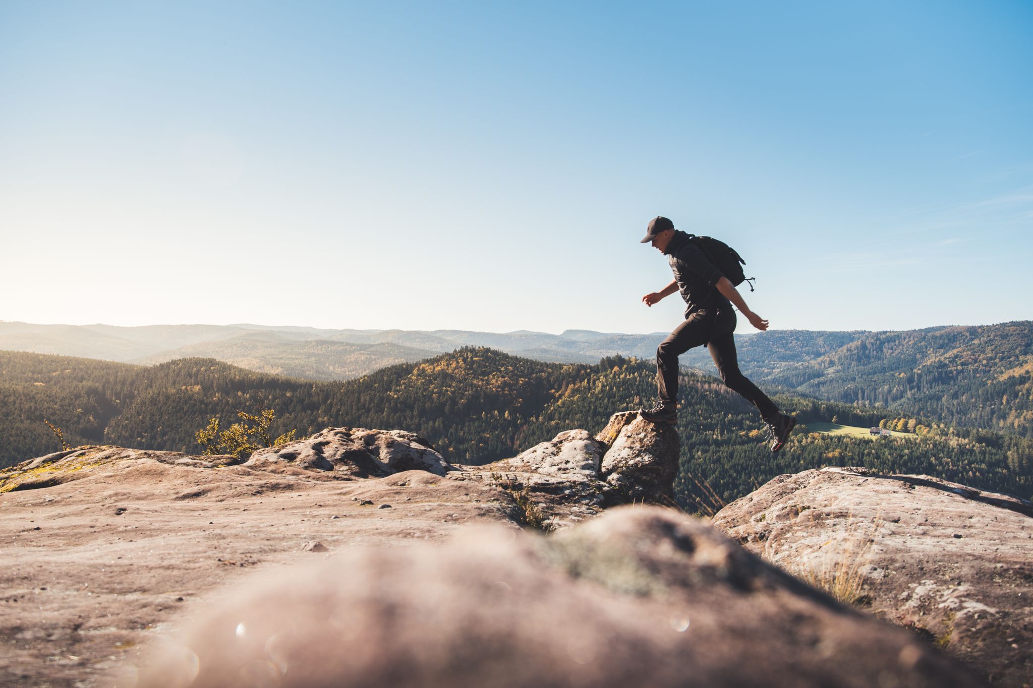
Trail running in the Grand Est – the region's most beautiful hilly trails
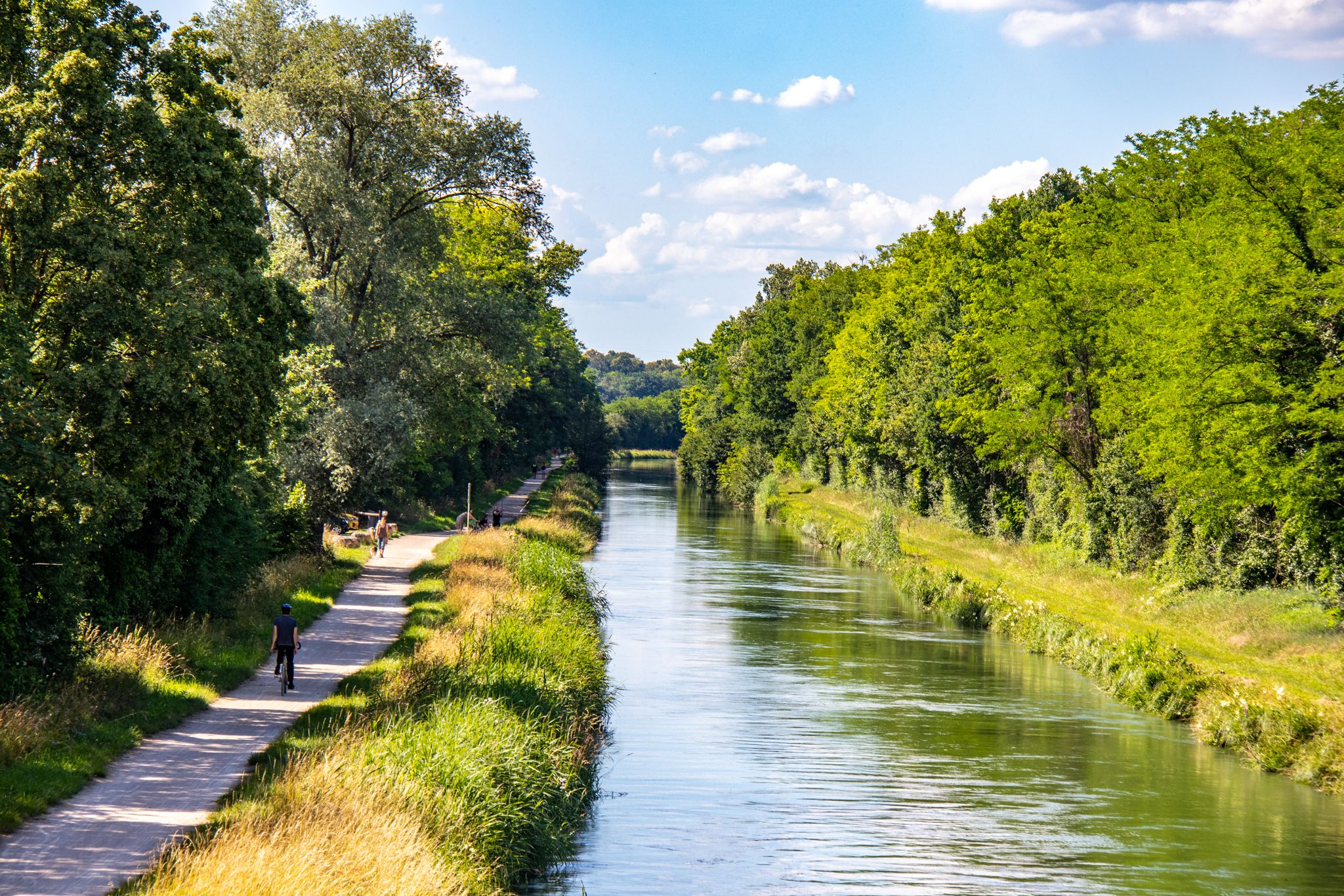
EuroVelo 6 – between the Rhine and the Loire by bike

The Grand Est without a car – cycling from station to station
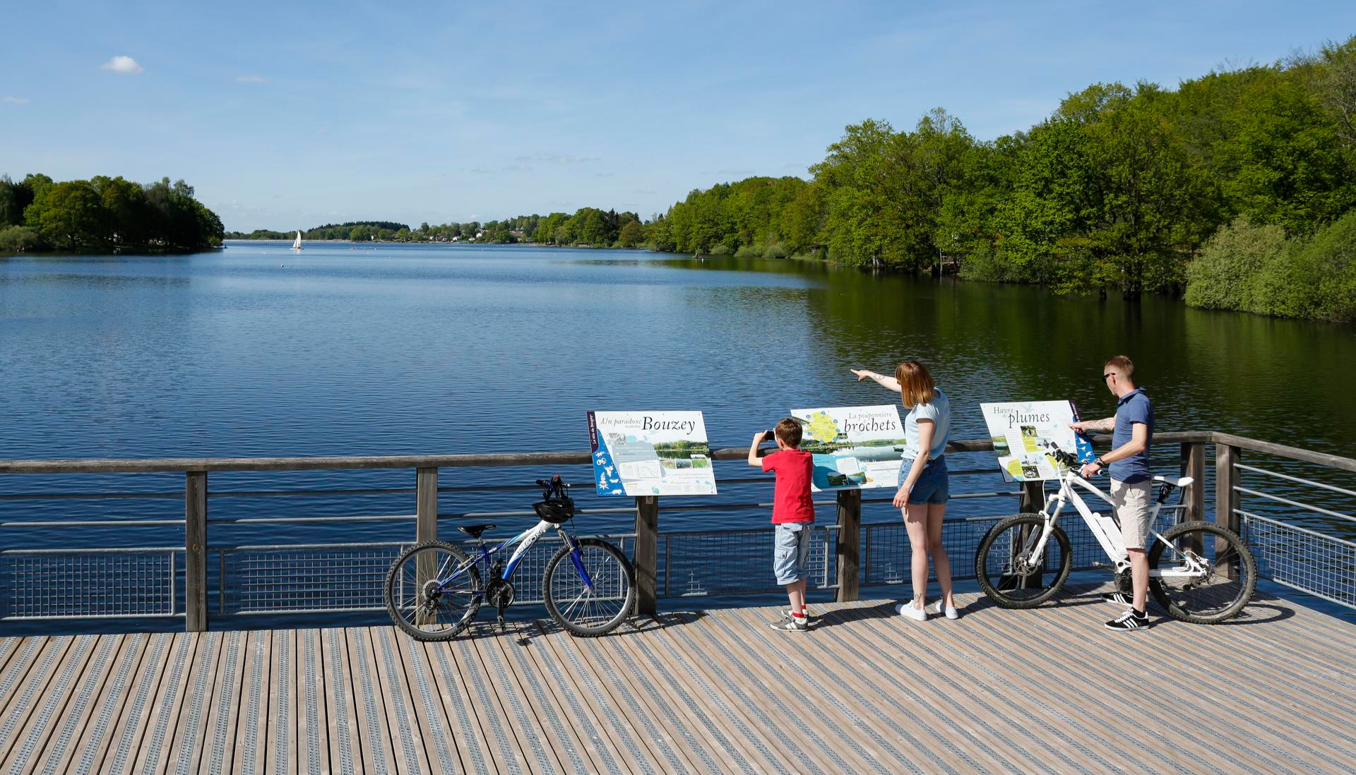
Family getaways – cycling in the Grand Est
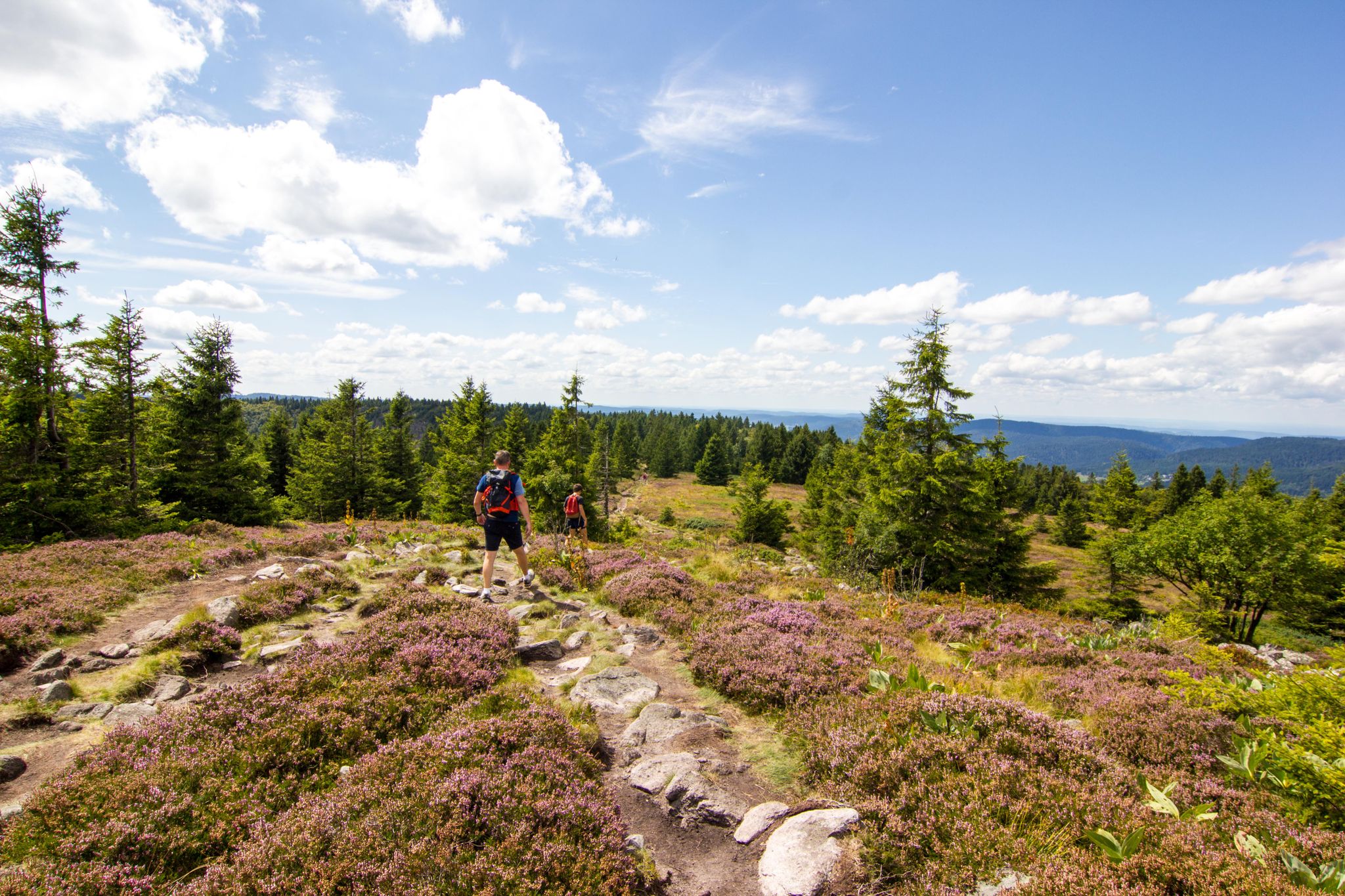
Hiking and relaxation – wellbeing on the Traversée des Vosges
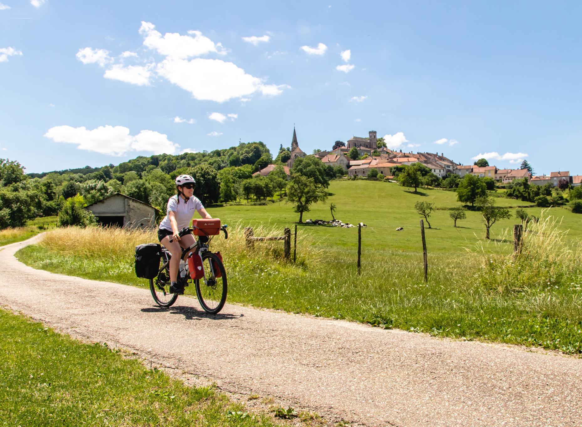
Bikepacking in Grand Est – the must-see routes
Other adventures in Haut-Rhin


Tips from the Community

Awesome views that you have earned as a reward through the Felsenland
3
0
Unfortunately, you can't get to the water from the bridge
5
0
A rock that you simply must see.. it's a bit exposed but hey.. great view from there
7
0
Great descent from the Hohneck through a natural low beech forest.
3
0

The Vosges are an excellent terrain for mountain bike and singletrack experiences! 🚵♀️🌲 #Vosges #Mountainbike #Singletrack #Experiences
0
0

Shaped by the highlands and very different from home, the beeches here are much more stunted and full of lichens... looks so beautiful.
0
0
...I didn't expect that from the Vosges...
0
0
Frequently Asked Questions
How many mountaineering routes are available in Haut-Rhin?
Haut-Rhin offers a diverse range of mountaineering experiences with over 40 routes. These routes cater to various skill levels, with an equal split of 22 moderate and 22 difficult trails.
What do other mountaineers enjoy most about the routes in Haut-Rhin?
The mountaineering routes in Haut-Rhin are highly rated by the komoot community, with an average score of 4.6 stars from 67 reviews. Over 260 mountaineers have explored the varied terrain, often praising the majestic Vosges Mountains, picturesque glacial lakes, and extensive forests that define the region's trails.
Are there any circular mountaineering routes in Haut-Rhin?
Yes, many routes in Haut-Rhin are designed as loops, offering varied scenery without retracing your steps. An example is the challenging Krappenfels – Col de la Schlucht loop from Col de la Schlucht, which is 6.6 km long and takes about 2 hours 33 minutes to complete.
What are some challenging mountaineering routes for experienced hikers?
For experienced mountaineers, Haut-Rhin offers several demanding routes. The Lake Fischboedle – Hohneck loop from Col de la Schlucht is a difficult 19.5 km path exploring the area around the Hohneck, the second-highest peak in the Vosges. Another challenging option is the Taubenklangfelsen Viewpoint – Lac du Forlet loop from Lac Blanc, spanning over 21 km with significant elevation gain.
Are there any moderate mountaineering routes suitable for those looking for a less strenuous climb?
Absolutely. Haut-Rhin features a good selection of moderate mountaineering routes. The Le Tanet Summit – Taubenklangfelsen Viewpoint loop from Le Tanet is a moderate 12 km route that offers beautiful views without extreme difficulty. Another option is the Grand Ballon – Panoramic view from the Grand Ballon summit loop from Grand Ballon, a 3.5 km moderate trail leading to the highest point in the Vosges.
What natural features and landmarks can I expect to see along the mountaineering routes?
Mountaineering in Haut-Rhin often brings you close to stunning natural features. You can encounter beautiful glacial lakes such as Lac Blanc, Lac du Forlet, and Black Lake. The region is also home to several waterfalls, including the Waterfall on Sentier des Roches and Bockloch Waterfall. The routes often provide panoramic views of the Vosges Mountains and the Alsace Plain.
Are there any routes that offer exceptional panoramic views?
Many mountaineering routes in Haut-Rhin are renowned for their breathtaking views. The Grand Ballon, as the highest point in the Vosges, offers magnificent panoramic vistas encompassing the Alsace Plain, the Black Forest, and even the Swiss Alps on clear days. The Grand Ballon – Panoramic view from the Grand Ballon summit loop from Grand Ballon is a great way to experience this. The Hohneck and Petit Ballon also provide impressive 360-degree views.
Can I find routes that pass by lakes or waterfalls?
Yes, the Haut-Rhin region is rich in water features. The Lake Fischboedle – Hohneck loop from Col de la Schlucht passes by Lake Fischboedle. Other routes, like the Lac du Forlet – Taubenklangfelsen Viewpoint loop from Réserve naturelle du Tanet-Gazon-du-Faing, will lead you past glacial lakes and offer opportunities to see waterfalls such as the Waterfall on Sentier des Roches.
What is the best time of year for mountaineering in Haut-Rhin?
The best time for mountaineering in Haut-Rhin is generally from late spring to early autumn (May to October) when the weather is milder and trails are clear of snow. During these months, you can fully enjoy the diverse landscapes and panoramic views. Winter offers opportunities for snowshoeing and winter hiking, but requires appropriate gear and experience due to snow and ice conditions.
Are there any family-friendly mountaineering options in Haut-Rhin?
While many mountaineering routes in Haut-Rhin are challenging, there are options that can be adapted for families, especially those with older children or a good level of fitness. Look for shorter, moderate trails. The region's extensive network of trails includes paths that are less steep and more accessible, particularly in the lower elevations of the Vosges Mountains. Always check the route's difficulty and length before heading out with family.
Is it possible to access mountaineering trailheads using public transport?
Access to some trailheads in Haut-Rhin, particularly those in popular areas like Col de la Schlucht or near major peaks, can be reached by public transport, though options might be limited. It's advisable to check local bus schedules and routes in advance, especially during peak season. For more remote starting points, a car is often necessary.
Where can I find parking for mountaineering routes in Haut-Rhin?
Parking is generally available at popular starting points for mountaineering routes, such as Col de la Schlucht, Grand Ballon, and near major lakes like Lac Blanc. These areas often have designated parking lots, which can fill up quickly during peak season or on weekends. It's recommended to arrive early, especially for popular trails, to secure a spot.
Are there any regulations or permits required for mountaineering in the Ballons des Vosges Regional Natural Park?
The Vosges Mountains are largely within the Ballons des Vosges Regional Natural Park. While general hiking and mountaineering typically do not require specific permits for access, it's always good practice to respect park regulations, such as staying on marked trails, not disturbing wildlife, and proper waste disposal. For specific activities like climbing in certain areas (e.g., Spitzkoepfe ridge), it's advisable to check with local authorities or climbing federations for any specific rules or access restrictions.
Most popular routes in Haut-Rhin
Most popular attractions in Haut-Rhin

Get inspired with the komoot mobile app


Explore more
Browse the best Mountain Hikes & Routes in other regions.
