The best walks and hikes around Stratfield Saye
4.5
(688)
5,076
hikers
450
hikes
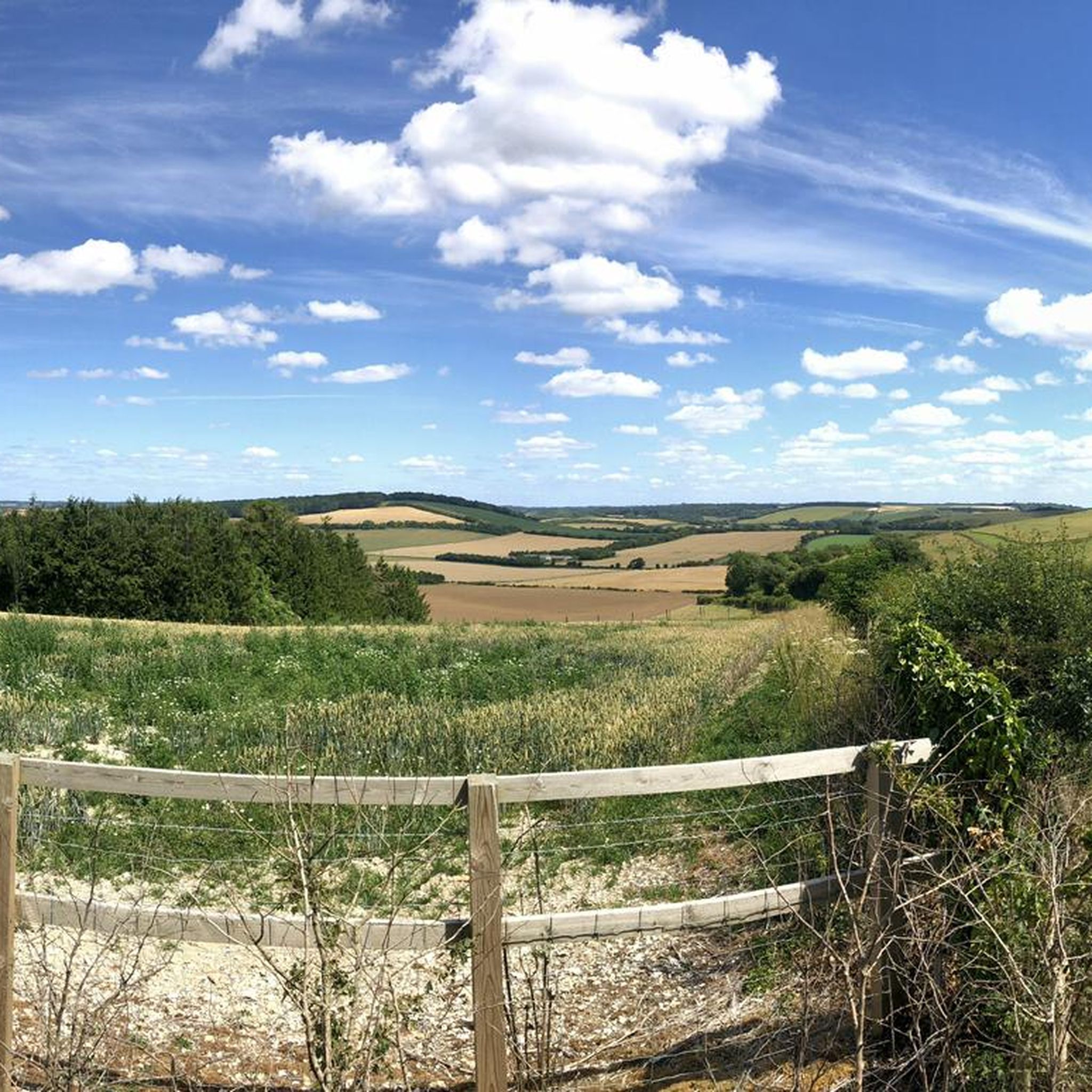
Hikes around Stratfield Saye explore a landscape of rolling farmland, ancient woodlands, and serene river valleys. The terrain is characterized by gentle inclines and well-defined footpaths, with many routes following the course of the River Loddon. The area's network of trails also provides access to historic sites, including the remains of a Roman town.
Best hiking trails around Stratfield Saye
- The most popular hiking route is Waymarker for the Roman Town Trail – Silchester Trail waymarker loop from Bramley, a 6.5 mile (10.4 km) trail that takes around 2 hours 45 minutes to complete. This historic walking trail leads to the site of the Roman town Calleva Atrebatum.
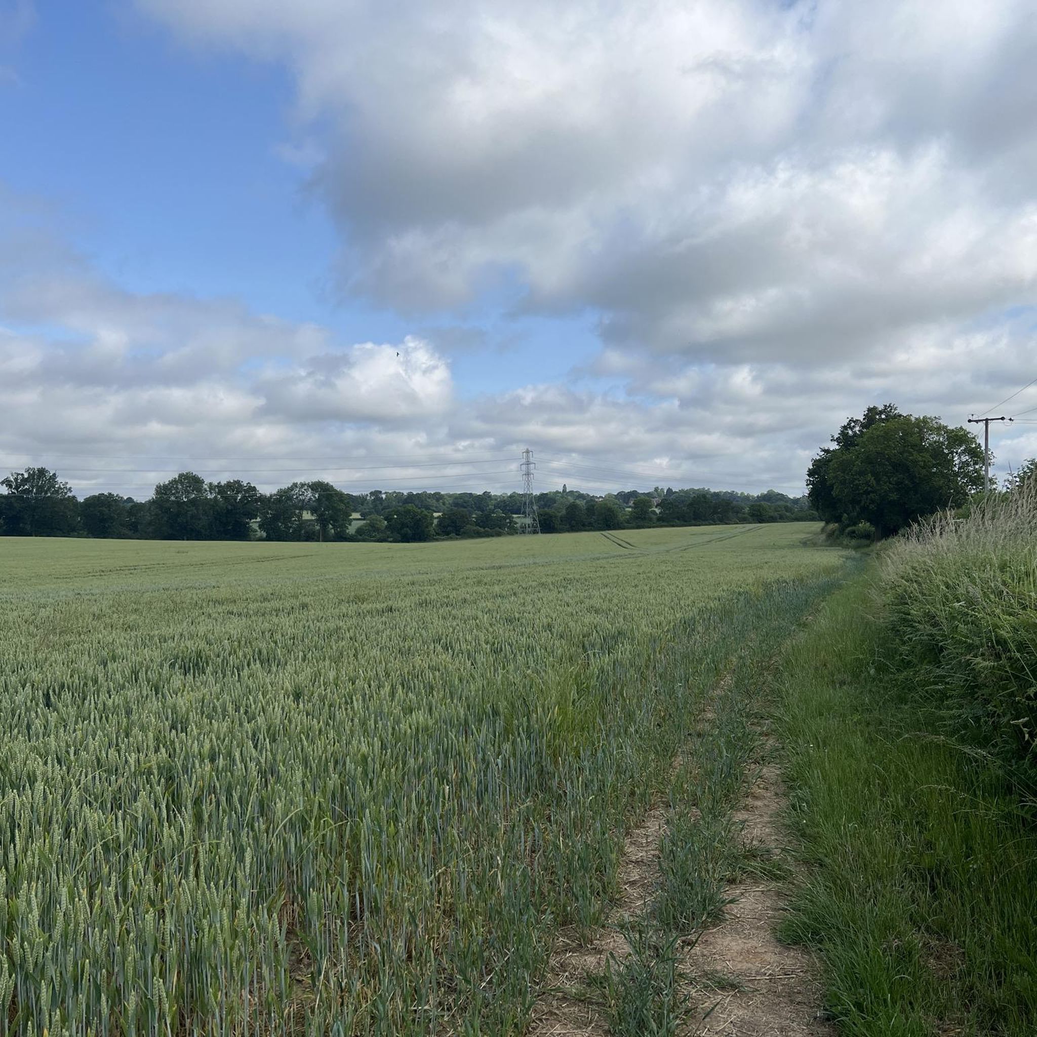
- Another top favourite among local hiking enthusiasts is Path Through the Field – Kiln Pond and Beaver Sculpture loop from Silchester, an easy 4.7 mile (7.5 km) path. The route crosses open fields and passes through sections of woodland.
- Local hiking enthusiasts also love the The Church of Peace loop from Stratfield Turgis, a 4.2 mile (6.8 km) trail leading through farmland, often completed in about 1 hour 45 minutes.
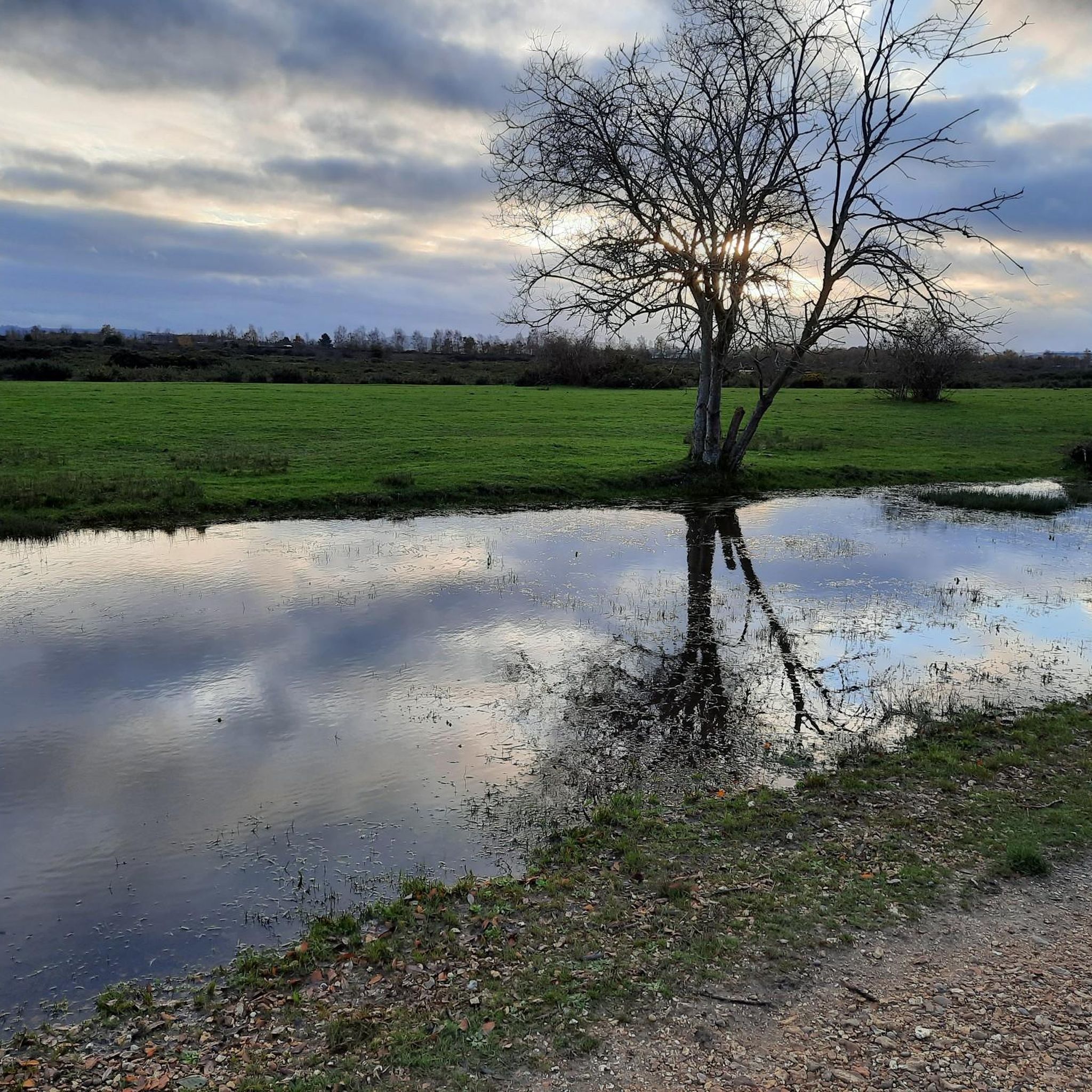
- Hiking around Stratfield Saye is defined by riverside paths, walks through ancient woodland, and trails across open farmland. The network of more than 300 routes offers options for different ability levels, from short, flat walks to longer circular hikes.
- The routes in Stratfield Saye are highly rated by the komoot community with an average score of 4.4 stars from over 580 reviews. More than 4,600 hikers have used komoot to explore Stratfield Saye's varied terrain.
Last updated: July 3, 2026
4.4
(7)
44
hikers
Easy hike. Great for any fitness level. Easily-accessible paths. Suitable for all skill levels.
5.0
(1)
22
hikers
Moderate hike. Good fitness required. Easily-accessible paths. Suitable for all skill levels.

Sign up for free
4.3
(3)
14
hikers
Easy hike. Great for any fitness level. Easily-accessible paths. Suitable for all skill levels.
12
hikers
7.60km
02:00
70m
70m
Moderate hike. Good fitness required. Easily-accessible paths. Suitable for all skill levels.
4.5
(8)
16
hikers
6.82km
01:45
30m
30m
Easy hike. Great for any fitness level. Easily-accessible paths. Suitable for all skill levels.
Get access to more routes and recommendations from other explorers.
Sign up for free
Already have an account?
Our route recommendations are based on thousands of hikes, rides, and runs completed by other people on komoot.
Start today with a free account
Your next adventure awaits.
Login or Signup
Tips from the Community

Peaceful church in historic location. Open when I passed mid-afternoon on a Friday in May 2026
0
0
Church was open when I passed mid-afternoon on a Friday of May 2026. Peaceful atmosphere, tranquil setting. Cannot recall it if it has a pilgrim stamp, but definitely worth including a Camino Inglés itinerary
0
0
This is actually the abandoned church of All Saints, Stratfield Saye. Last used for worship in the 1960's. It cannot be enteted and most of the internal features have been removed for use elsewhere
0
0

This is silly, & a bit tasteless, but I was once told (jokingly albeit) that the man hole is for the un-dead to get in & out of their graves. It part of a happy memory from when I once waked here in February 2025 with someone very dear to me that I've since lost.
0
0
Superb ancient structure. The recommendation is don't hike on top of the ancient wall.
0
0

Found inside the lovely church of St Mary’s near Silchester. Nil desperandum - my new motto for hills
0
0

Beautiful little church on the edge of the preserved Roman town of Calleva. The church dates from the 12th century and was built on an earlier Pagan site using old Roman bricks. There is a Roman column in the cemetery.
0
0
Frequently Asked Questions
How many hiking trails are there around Stratfield Saye?
There are over 300 hiking routes to explore around Stratfield Saye. The trails range from easy, flat riverside strolls to more challenging woodland treks, offering plenty of options for all ability levels.
What do other hikers think of the trails in this area?
The trails around Stratfield Saye are highly rated by the komoot community, with an average score of 4.4 stars. Hikers often praise the mix of serene river valleys, ancient woodlands, and well-defined footpaths across the rolling farmland.
Are there any family-friendly hikes near Stratfield Saye?
Yes, the area is great for families. For a shorter, engaging walk, consider the Manhole cover – Waymarker for the Roman Town Trail loop from Silchester. It's an easy 1.7-mile (2.7 km) route. Nearby Wellington Country Park also offers four dedicated nature trails suitable for all ages.
Can I take my dog on the trails?
Dogs are welcome on most public footpaths in the area, but be mindful of local rules. You'll likely encounter livestock in the fields and wildlife in the woodlands, so it's best to keep your dog on a lead. Pamber Forest is a popular spot for dog walkers, but remember that wild animals roam there.
Where is a good place to park for a hike?
Parking availability depends on your chosen trailhead. Many walks start from villages like Silchester or Bramley, which have on-street parking. For walks in Pamber Forest, there is a dedicated car park. Some popular pub walks also offer parking for patrons. Always check local signage before leaving your car.
Are there any circular walks that are around 10 km?
Yes, a great option is the Waymarker for the Roman Town Trail – Silchester Trail waymarker loop from Bramley. This popular 6.5-mile (10.4 km) circular route takes you through fields and woodland to the historic site of a Roman town.
What are the riverside walks along the River Loddon like?
Walks along the River Loddon are typically flat and tranquil, making for a pleasant and easy-going hike. The paths follow the river through scenic valleys and fields, offering excellent opportunities for spotting wildlife on the riverbanks and in the water.
Are there any hikes with historical significance?
Absolutely. The region is rich in history. The Long, straight, wide path – Silchester Trail waymarker loop from Silchester is a 3.8-mile (6.2 km) walk that explores the area around the impressive Roman walls of Calleva Atrebatum.
How difficult are the hiking trails in the Stratfield Saye area?
The majority of trails are rated as easy to moderate. The landscape consists of gentle rolling hills and flat river valleys, so you won't find strenuous mountain climbs. Most routes follow well-defined public footpaths, making them accessible to most regular walkers.
Can you recommend a good circular walk of around 4-5 miles?
A fantastic choice is The Church of Peace loop from Stratfield Turgis. This 4.2-mile (6.8 km) trail leads you through quiet farmland and past historic churches, offering a peaceful countryside experience.
What are some popular places for hiking in the Stratfield Saye area?
Besides the many footpaths, several larger parks are popular with hikers. Pamber Forest is a highly-regarded ancient woodland with marked trails. For sweeping views, many people head to the North Wessex Downs National Landscape. Another local favorite is Yateley Common Country Park, which has numerous small trails to follow.
Can I hike near Stratfield Saye House?
While Stratfield Saye House itself is a private estate, numerous public footpaths run through the surrounding parkland and countryside. You can enjoy views of the estate's landscape on many local walks, such as those starting from the nearby village of Stratfield Turgis.
Most popular attractions around Stratfield Saye

Get inspired with the komoot mobile app


Explore more
Browse the best Hikes in other regions.
