The best walks and hikes around South Tawton
4.7
(427)
3,123
hikers
21
hikes
Hikes around South Tawton provide access to the northern edge of Dartmoor National Park. The landscape is defined by open moorland, rolling hills, and granite tors, with trails following river valleys and historic paths. The region's terrain offers a mix of moderate climbs to viewpoints and gentler routes through the countryside.
Best hiking trails around South Tawton
- The most popular hiking route is Cosdon Beacon loop from South Zeal, a 4.2 mile (6.8 km) trail that takes about 2 hours 20 minutes to complete. The route involves a steady ascent to the summit of Cosdon Hill for wide views across Dartmoor.
- Another top favourite among local hiking enthusiasts is Cosdon Beacon – View of Sticklepath loop from Sticklepath, a moderate 6.4 mile (10.4 km) path. This route also leads to Cosdon Beacon, approaching from the village of Sticklepath.
- Local hiking enthusiasts also love the Hound Tor – Metheral Hill Standing Stones loop from Sticklepath, a 7.9 mile (12.7 km) trail leading through open moorland, often completed in about 3 hours 40 minutes.
- Hiking around South Tawton is defined by open moorland, granite tors, and paths along the River Taw. The network of 18 routes includes both moderate hill climbs and easier circular walks suitable for different ability levels.
- The routes in South Tawton are highly rated by the komoot community with an average score of 4.7 stars from more than 390 reviews. More than 3,200 hikers have used komoot to explore South Tawton's varied terrain.
Last updated: June 29, 2026
5.0
(1)
17
hikers
30.0km
08:49
840m
840m
Hard hike. Very good fitness required. Easily-accessible paths. Suitable for all skill levels.
5.0
(4)
27
hikers
6.83km
02:18
350m
350m
Moderate hike. Good fitness required. Easily-accessible paths. Suitable for all skill levels.

Sign up for free
4.7
(3)
26
hikers
10.1km
03:03
340m
340m
Moderate hike. Good fitness required. Easily-accessible paths. Suitable for all skill levels.
5.0
(2)
19
hikers
6.94km
02:06
230m
230m
Moderate hike. Good fitness required. Easily-accessible paths. Suitable for all skill levels.
5.0
(1)
7
hikers
12.7km
03:41
330m
330m
Moderate hike. Good fitness required. Easily-accessible paths. Suitable for all skill levels.
Get access to more routes and recommendations from other explorers.
Sign up for free
Already have an account?
Our route recommendations are based on thousands of hikes, rides, and runs completed by other people on komoot.
Start today with a free account
Your next adventure awaits.
Login or Signup
Tips from the Community


Great little feature on a great little walk. Stones get slippery when wet.
0
0

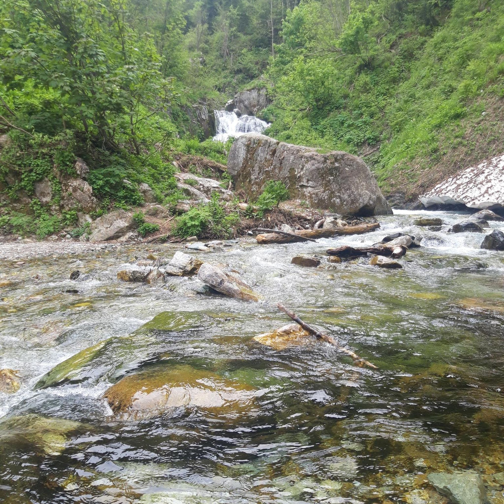
Could be boggy if opting to try cross the river, but there's a bridge to the left as an option
0
0

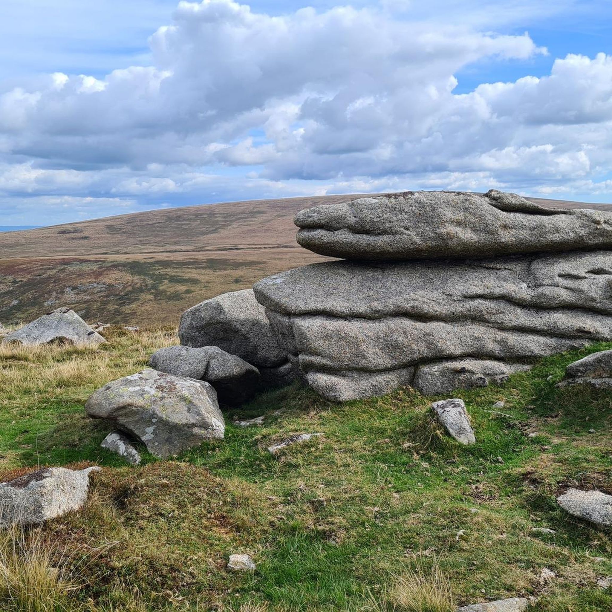
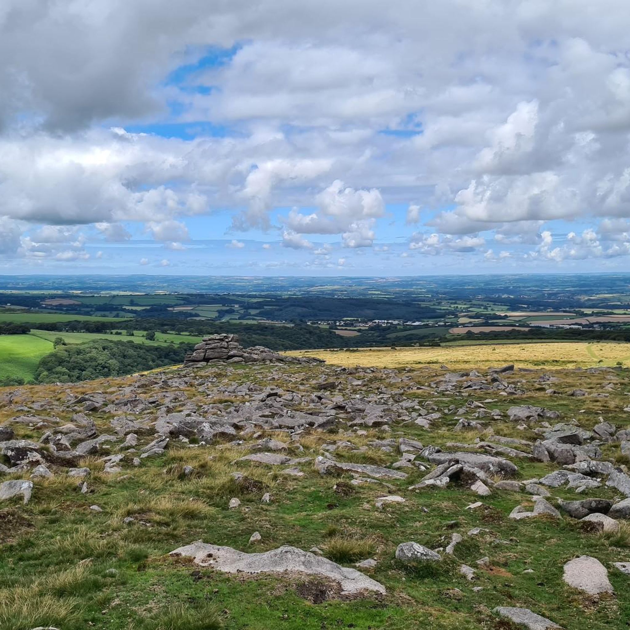
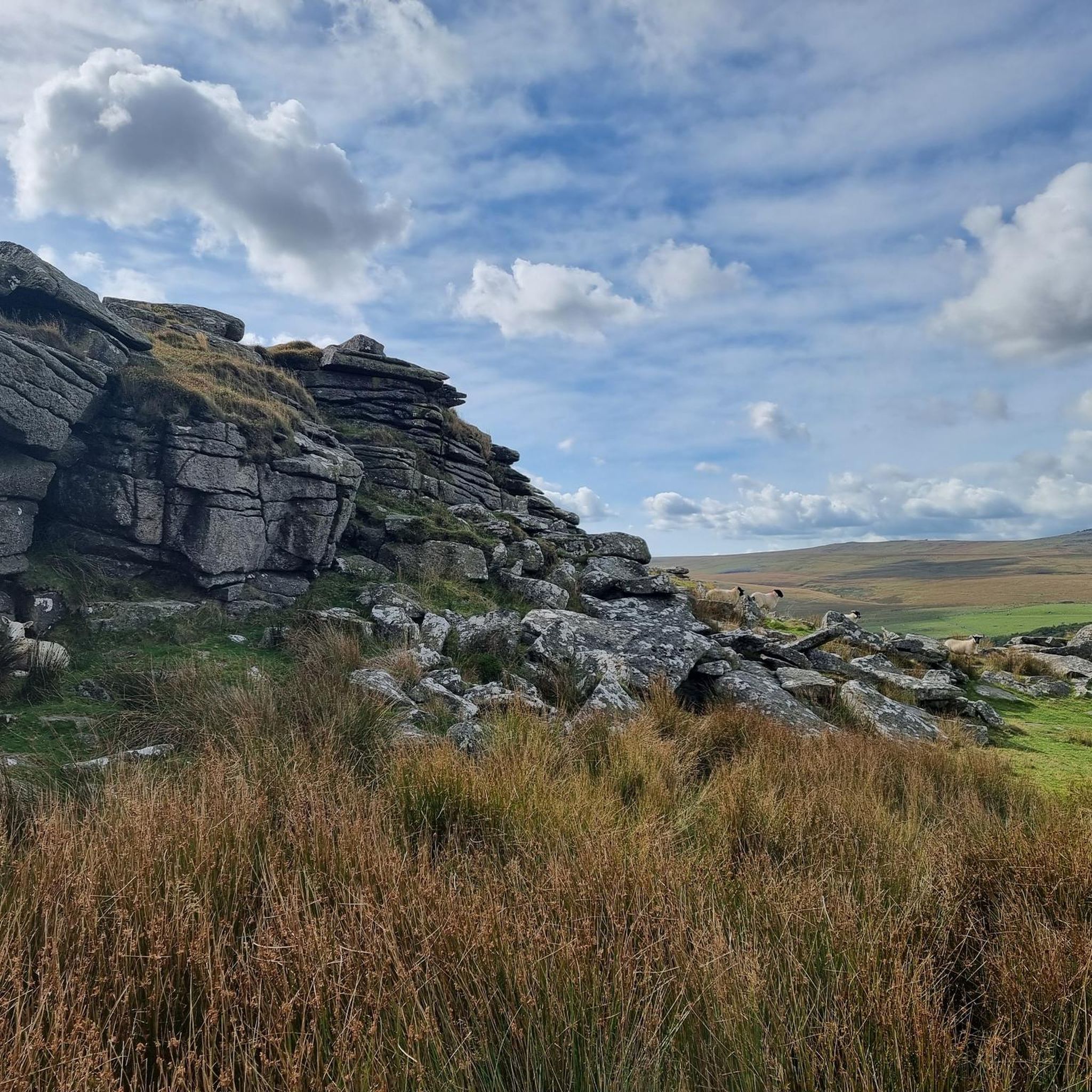
Sometimes called Cawsand Beacon or Cosdon Hill, Cosdon Beacon was once thought to be the highest peak on Dartmoor. Willhayes has since taken the crown but that doesn't take away the immenseness of this spot. Bronze Age settlements have been found on the west of the hill and evidence of neolithic tools. It is peppered with cairns and kistvaens which shine a light on the historic importance of the site. On a clear day both the English and Bristol Channels can be see from high up here.
1
0


This pretty bridge spans the River Taw between Belstone and Sticklepath. Surrounded by vibrant woodland in Belstone Cleave, it links two trails, one on either side of the river. Both the Tarka Trail and the Land's End Trail pass by.
2
0

no bridge over the river- be cautious when crossing as rocks are very slippery. I'd recommend crossing on the narrower spot to the east
0
0

Frequently Asked Questions
Are there many hiking trails to choose from around South Tawton?
Yes, there's a great selection of trails. You can explore nearly 20 different routes around South Tawton, with a dozen moderate options for those seeking a bit of a challenge and about half a dozen easier paths for more relaxed walks.
What do other hikers enjoy most about the trails in South Tawton?
The area is highly regarded by the komoot community, with an average rating of 4.7 stars. Hikers frequently praise the access to Dartmoor's wild, open moorland, the panoramic views from the granite tors, and the well-maintained paths that lead through historic landscapes.
Are there any good circular walks starting from the villages?
Absolutely. Many routes are designed as loops. For a varied walk that includes a mix of countryside and village scenery, the Hiking loop from South Zeal is a great option that starts and ends conveniently in the village.
Where is the best place to park for a hike?
A convenient starting point for many walks is the car park at the South Zeal Recreation Ground. Several circular routes, including those published by the local parish council, begin from this location, giving you direct access to the trails leading towards Dartmoor.
Are the hiking trails around South Tawton suitable for dogs?
Yes, many of the trails are dog-friendly, especially those on open moorland. However, always be mindful of livestock grazing in the fields and on Dartmoor. It's recommended to keep your dog on a lead, particularly during lambing and bird nesting seasons (typically March to July).
Can I find any family-friendly or beginner hikes?
Yes, the area offers several easier walks suitable for families and beginners. The terrain around the villages is generally gentler than the high moor. There are 6 designated easy routes that avoid major climbs while still offering a lovely experience of the Devon countryside.
Which hike offers the best scenic views?
For some of the most expansive views, aim for the trails that climb the local tors. A hike up to Higher Tor provides stunning panoramic vistas across the northern edge of Dartmoor. The ascent is rewarding and a favorite spot for photographers and nature lovers.
Are there any pubs or cafes for after a hike?
Yes, you can find refreshments in the local villages. The Seven Stars in South Tawton is a highly-regarded traditional pub offering food and drink, making it a perfect spot to relax after a day on the trails. The nearby village of South Zeal also has historic pubs.
Can I explore the Tarka Trail near South Tawton?
Yes, a section of the famous Tarka Trail passes through the area. You can follow parts of it on the Tarka the Otter Bridge – The Tors' Pub Garden loop from South Zeal, which incorporates the scenic path as it winds through the local landscape.
Are there any routes that feature historical sites?
Many trails in the area are rich with history. For a hike that takes you past prehistoric monuments, consider the Hound Tor – Metheral Hill Standing Stones loop from Sticklepath. This route leads you across open moorland to explore ancient stone circles and standing stones.
How can I get to the trailheads using public transport?
Bus services connect Okehampton with the villages of South Zeal and Sticklepath, which serve as starting points for many hikes. From there, you can easily access the footpaths leading into the countryside and up onto Dartmoor. Be sure to check local bus timetables for the most current schedules.
Is wild camping permitted near South Tawton?
Wild camping is possible in certain areas of Dartmoor National Park, and some hikers choose to camp near tors like Higher Tor. However, you must check the official Dartmoor National Park website for the most up-to-date rules, firing range schedules, and designated camping areas before you go.
Most popular routes around South Tawton
Most popular attractions around South Tawton

Get inspired with the komoot mobile app


Explore more
Browse the best Hikes in other regions.
