The best road cycling routes around Throwleigh
4.2
(15)
1,696
riders
112
rides
Road cycling routes around Throwleigh traverse the northern edge of Dartmoor National Park, characterized by undulating terrain, open moorland, and river valleys. The area features a mix of quiet country lanes and more challenging climbs, offering diverse landscapes for road cyclists. Granite tors and historic bridges are common sights along these routes. The region's geography provides varied elevation changes suitable for different fitness levels.
Best road cycling routes around Throwleigh
- The most popular road cycling route is Dartmoor Way Cycle…
Last updated: July 3, 2026
3
riders
54.8km
03:04
860m
860m
Moderate road ride. Good fitness required. Mostly well-paved surfaces and easy to ride.
60
riders
48.5km
02:29
760m
760m
Moderate road ride. Good fitness required. Some segments of this route may be unpaved and difficult to ride.

Sign up for free
5.0
(1)
33
riders
65.1km
03:30
1,160m
1,160m
Hard road ride. Very good fitness required. Mostly well-paved surfaces and easy to ride.
34
riders
45.5km
02:17
670m
670m
Moderate road ride. Good fitness required. Mostly well-paved surfaces and easy to ride.
2.0
(1)
24
riders
53.9km
02:46
640m
640m
Moderate road ride. Good fitness required. Some segments of this route may be unpaved and difficult to ride.
Get access to more routes and recommendations from other explorers.
Sign up for free
Already have an account?
Our route recommendations are based on thousands of hikes, rides, and runs completed by other people on komoot.
Start today with a free account
Your next adventure awaits.
Login or Signup
Tips from the Community

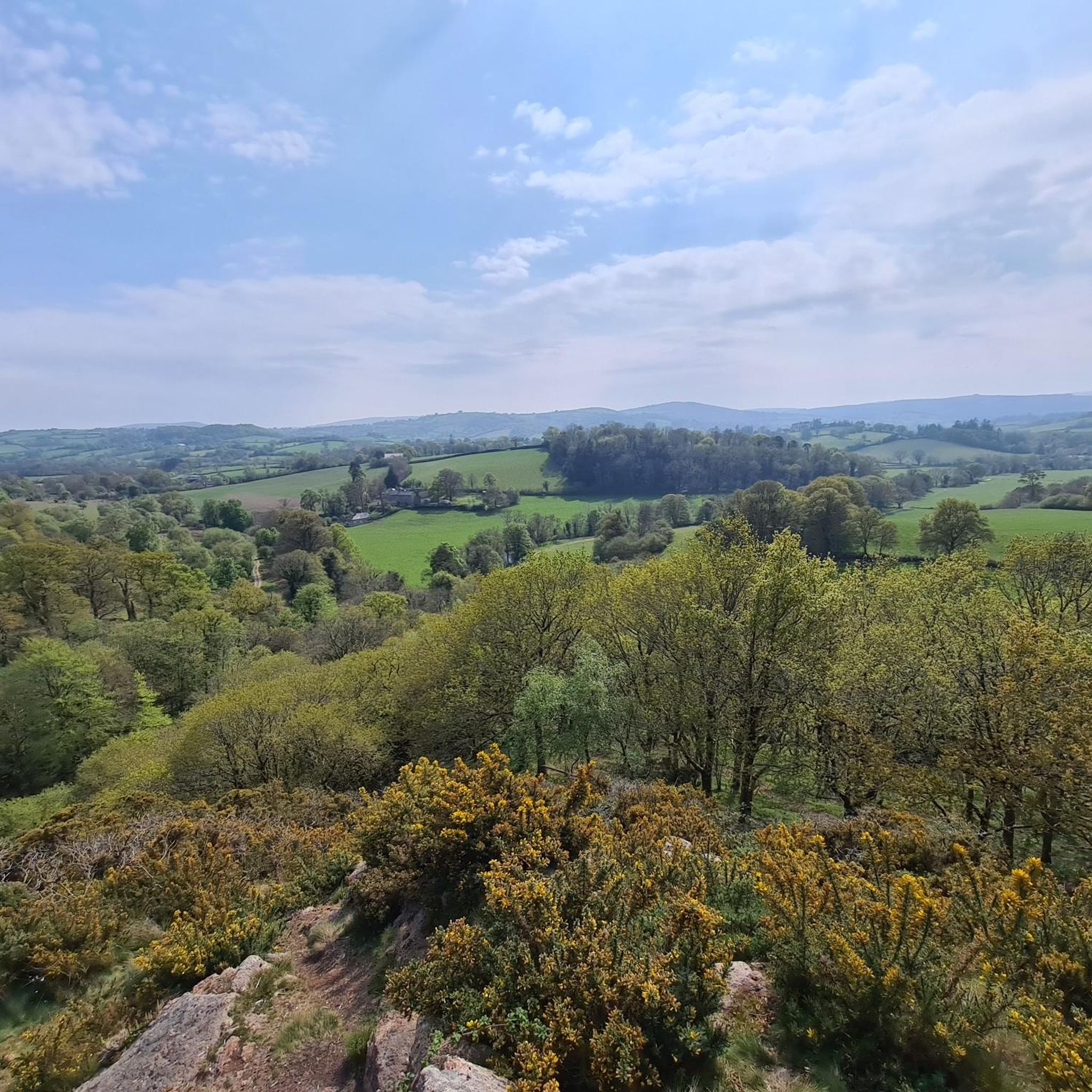
This lane is quiet and has some really lovely views back down the Teign Valley and towards Dartmoor. Heading towards Cheriton Bishop it's a steady climb. Towards Dunsford... enjoy the descent.
0
0
A really lovely place for coffee and cake. Then either return back down the Wray Trail or up and over via Hennock with great views across Dartmoor.
0
0

Drop down the hill a short way from the church, to the National Trust entrance - tea rooms, loo, lovely walk and they even have bike locks to lend.
0
0

A 7-mile (11km), mainly traffic free, route linking Bovey Tracey to Moretonhampstead. It follows the line of the old railway, which was closed to passengers in 1959.
0
0
Sticklepath stores and cafe. You can sit outside with your bike and watch the world go by. Home made cakes were ridiculously cheap, too, and happy to top up water bottles 🙂
0
0


Frequently Asked Questions
How many road cycling routes are available around Throwleigh?
There are over 100 road cycling routes around Throwleigh, offering a wide range of options for different skill levels. The komoot community has explored more than 118 routes in the area.
What kind of terrain can I expect when road cycling in Throwleigh?
Road cycling routes around Throwleigh traverse the northern edge of Dartmoor National Park, featuring undulating terrain, open moorland, and river valleys. You'll find a mix of quiet country lanes and more challenging climbs, with granite tors and historic bridges as common sights.
Are there easy road cycling routes suitable for beginners in Throwleigh?
Yes, Throwleigh offers several easy road cycling routes. There are 7 routes specifically categorized as easy, providing a gentler introduction to the area's beautiful landscapes.
Are there challenging road cycling routes for advanced riders?
Absolutely. For advanced riders seeking a challenge, Throwleigh has 41 routes categorized as difficult. These routes often feature significant elevation changes and longer distances, such as the Postbridge Clapper Bridge – Scenic Road to Hound Tor loop from Chagford, which includes over 1100 meters of ascent.
What are some scenic road cycling routes in Throwleigh?
Many routes offer scenic views. The Wray Valley Trail – Scenic Road to Hound Tor loop from Chagford is a popular choice, combining valley riding with ascents towards prominent tors. The Dartmoor Way Cycle Route also provides a comprehensive exploration of the Dartmoor landscape with diverse scenery.
What can I see along the road cycling routes in Throwleigh?
While cycling, you can explore various natural and historical landmarks. Notable peaks include Yes Tor summit and High Willhays summit. Historical sites like Castle Drogo and Okehampton Castle are also within reach.
Are there circular road cycling routes available around Throwleigh?
Yes, many of the road cycling routes around Throwleigh are designed as loops, allowing you to start and finish at the same point. Examples include the Doccombe Climb – Central Café, Moretonhampstead loop from Sticklepath and the Meldon Viaduct – Dartmoor National Park loop from Whiddon Down.
What is the best season for road cycling in Throwleigh?
The spring and summer months (April to September) generally offer the most favorable conditions for road cycling in Throwleigh, with milder temperatures and longer daylight hours. However, Dartmoor weather can be unpredictable, so it's always wise to check forecasts.
Are there road bike routes with cafe stops or pubs in Throwleigh?
While specific cafe or pub stops are not detailed for every route, many routes pass through or near villages and towns on the edge of Dartmoor, such as Chagford or Moretonhampstead, where you can typically find places to refuel. The Doccombe Climb – Central Café, Moretonhampstead loop from Sticklepath specifically mentions a cafe stop.
What do other road cyclists enjoy about the routes in Throwleigh?
The road cycling routes in Throwleigh are highly rated by the komoot community, with an average score of 4.2 stars from over 15 reviews. Cyclists often praise the diverse landscapes, from open moorland to river valleys, and the mix of quiet country lanes and challenging ascents.
Is it possible to reach road bike trailheads in Throwleigh by public transport?
Public transport options to reach specific trailheads directly in Throwleigh can be limited due to its rural location on the edge of Dartmoor. It's advisable to research local bus services or consider starting your ride from larger nearby towns that have better public transport links.
Where can I find parking for road biking in Throwleigh?
Parking for road biking in Throwleigh is typically available in village car parks or designated lay-bys, especially near popular starting points for routes. Always ensure you park responsibly and check for any local restrictions or fees.
Most popular attractions around Throwleigh

Get inspired with the komoot mobile app


Explore more
Browse the best Road cycling routes in other regions.
