The best walks and hikes around Farnaconnell
3.7
(6)
70
hikers
7
hikes
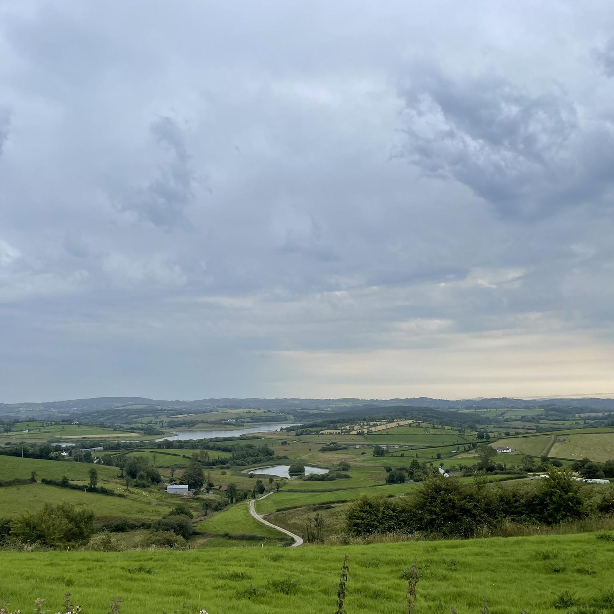
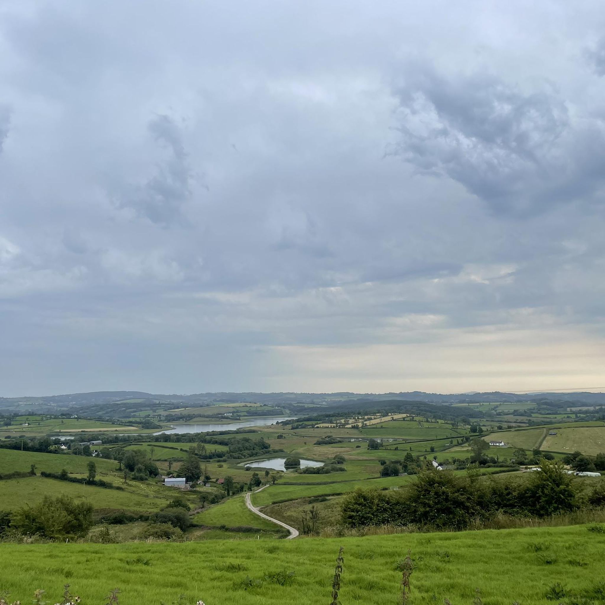
Hiking around Farnaconnell offers access to a landscape characterized by diverse natural beauty within County Fermanagh, Northern Ireland. The area is part of the Cuilcagh Lakelands UNESCO Global Geopark, featuring varied terrain from mountains and uplands like Glenkeel and Belmore to tranquil lakes and rivers such as Lough Erne and the Sillees River. The underlying carboniferous limestone geology has created distinctive habitats, including ancient forests and boglands, providing a range of hiking experiences.
Best hiking trails around Farnaconnell
- The most…
Last updated: June 27, 2026
3.5
(2)
35
hikers
6.08km
01:45
140m
140m
Easy hike. Great for any fitness level. Easily-accessible paths. Suitable for all skill levels.
5.0
(1)
3
hikers
10.1km
02:54
250m
250m
Moderate hike. Good fitness required. Easily-accessible paths. Suitable for all skill levels.

Sign up for free
1.0
(1)
11
hikers
12.5km
03:23
170m
170m
Moderate hike. Good fitness required. Easily-accessible paths. Suitable for all skill levels.
4.0
(1)
7
hikers
10.7km
03:10
310m
310m
Moderate hike. Good fitness required. Easily-accessible paths. Suitable for all skill levels.
5
hikers
7.77km
02:09
140m
140m
Moderate hike. Good fitness required. Easily-accessible paths. Suitable for all skill levels.
Get access to more routes and recommendations from other explorers.
Sign up for free
Already have an account?
Our route recommendations are based on thousands of hikes, rides, and runs completed by other people on komoot.
Start today with a free account
Your next adventure awaits.
Login or Signup

Tips from the Community

"continual slur on Irish caving" It's actually only a few hundred metres is accessible and it's total length is thought to be 2km. No where near the longest cave in Ireland. Consider a trip in only if well equipped with a good light and helmet. Alternatively/also consider visiting McKenzies back lounge just down the road. A much drier watering hole. ;)
1
0

Tullygobban Tomb is over 4000 years old and is aligned to face the sunset on the shortest day of the year, the Winter Solstice. Look south towards the cairn atop Cullcagh Mountain and you will see that the summit, this tomb, the Calf House Tomb and an erratic boulder all lie up.
1
0

Enjoy a stroll through this gorgeous landscape belonging to the Belmore Uplands. The area is known for it's fascinating wildlife, the most intriguing being the Irish Hare. You'll know if you've spotted a hare over a rabbit because of their black-tipped ears and long black legs.
2
0
Pollnagollum Cave (meaning Hole of the Dove) is the longest cave system in Ireland. The cave system is complex and fascinating and is fed by a tumbling waterfall that topples off a limestone cliff. Watch your stepping here as rocks can be unstable and slippery, and don't forget your camera for some awesome shots.
3
0

The Cavan Burren Park is interesting in three ways: archaeological, geological and cultural. But of course there is also something here for hikers looking for relaxation, because the landscape is beautiful. Here you will discover a mystical landscape at the foot of the Cuilcagh Mountains, which is peppered with megalithic tombs and ruins of ancient huts.
3
0

Many of Ireland’s megalithic monuments—portal tombs, court cairns, or wedge tombs such as this one—are known locally as “the giant’s grave.” But this one, on a hilltop in Co. Cavan’s Burren Forest Park, has a giant story to go along with its name. According to Harold Johnson, from the nearby town of Blacklion, the giant, attempting to impress a lady, failed in his final attempt to jump the nearby chasm, which is, of course, called “The Giant’s Leap.” Harold Johnson relates this story in some detail, while seated on the Giant’s Grave, in the video, below right. Mr. Johnson also was our guide, and provided the narration, for our feature on the Killinagh Cursing Stones, located on the opposite side of the town of Blacklion. (https://voicesfromthedawn.com/burren-giants-grave/)
4
0

Fairly accessible but not wheelchair accessible. Would be very careful with small children as well
4
0

In the Burren Forest you can admire a few megalithic tombs, the so-called Giant's Graves. According to an Irish legend, two giants vied for a pretty giantess and jumped daringly over a ravine - until one fell into the ravine and the stone walls collapsed above him. This is how the Giant's Grave was created.
1
0
Frequently Asked Questions
How many hiking trails are available around Farnaconnell?
There are 7 hiking trails available around Farnaconnell, offering a variety of experiences from easy strolls to more challenging moderate routes through the diverse landscapes of County Fermanagh.
Are there easy hiking trails suitable for beginners or families in Farnaconnell?
Yes, Farnaconnell offers 2 easy hiking trails perfect for beginners or families. A popular choice is the Belmore Forest loop via Pollnagollum Cave, which is 3.8 miles (6.1 km) long and explores beautiful woodlands.
Are there any circular hiking routes around Farnaconnell?
Yes, many of the trails around Farnaconnell are circular. For example, the Belmore Forest loop via Pollnagollum Cave and the Aghanaglack Prehistoric Tomb loop from Aghanaglack are both excellent circular options, allowing you to start and finish at the same point.
Can I find waterfalls or interesting natural features on hikes near Farnaconnell?
Absolutely. The region is rich in natural features. The Belmore Forest loop leads to the impressive Pollnagollum Cave and Waterfall, famously featured in 'Game of Thrones'. Additionally, Lough Navar Forest, a short drive away, boasts the spectacular Blackslee Waterfall.
Are there any notable caves or geological sites to explore while hiking?
Yes, Farnaconnell is situated within the Cuilcagh Lakelands UNESCO Global Geopark, known for its extensive karst landscape. You can explore the Pollnagollum Cave within Belmore Forest. The wider area also features the renowned Marble Arch Caves, offering guided tours of its underground rivers and limestone formations.
Are the hiking trails around Farnaconnell dog-friendly?
Many trails in the Farnaconnell area, particularly those through forests and open countryside, are suitable for dogs. However, it's always recommended to keep dogs on a leash, especially near livestock or in protected natural areas, and to check specific trail regulations before you go.
What kind of scenery can I expect on hikes around Farnaconnell?
Hikes around Farnaconnell offer diverse scenery, from ancient forests and rolling hills to tranquil lakes and rivers. You'll encounter unique karst features, boglands, and potentially panoramic views from uplands like Belmore Mountain. The area is defined by its serene waters, lush landscapes, and geological wonders.
What do other hikers enjoy most about hiking in Farnaconnell?
The area is highly rated by the komoot community, with an average score of 3.4 stars from 5 reviews. Hikers often praise the quiet woodlands, varied terrain, and the opportunity to discover hidden natural gems like caves and waterfalls.
What are some interesting landmarks or attractions near the hiking trails?
Beyond the trails, you can visit the historic Devenish Monastic Site and its iconic Round Tower, located on an island in Lough Erne. The area also features beautiful lakes such as Lower Lough MacNean and Carrick Lough, offering scenic views and peaceful spots.
Is public transport available to reach hiking trailheads near Farnaconnell?
Public transport options directly to many remote trailheads around Farnaconnell can be limited. It is generally recommended to have private transportation to access the wider range of hiking opportunities in County Fermanagh. Some local bus services may connect to larger towns, from which you might need to arrange further transport.
Are there any pubs or cafes near the hiking routes in Farnaconnell?
While Farnaconnell itself is a small townland, the surrounding area of County Fermanagh offers various pubs and cafes in nearby villages and towns. After your hike, you can find welcoming establishments to relax and refuel, particularly in larger centers like Enniskillen, which is a short drive away.
What is the best time of year to go hiking in Farnaconnell?
The best time to hike in Farnaconnell is generally from spring through autumn (April to October). During these months, the weather is milder, and the trails are less likely to be muddy or icy. Spring brings lush greenery and wildflowers, while autumn offers beautiful foliage. Always be prepared for changeable weather, regardless of the season.
Are there any longer, more challenging hikes available?
Yes, for those seeking a longer challenge, routes like the Cavan Way offer a moderate 6.3 miles (10.1 km) path with an elevation gain of 814 feet (248 meters). The Hiking loop from Boho is another moderate option, covering over 10 km with significant elevation changes.
Most popular attractions around Farnaconnell

Get inspired with the komoot mobile app


Explore more
Browse the best Hikes in other regions.
