The best running trails around Kings Somborne
4.4
(53)
3,398
runners
42
runs
Jogging around Kings Somborne offers diverse landscapes for runners, characterized by the shallow, fast-flowing River Test and an extensive network of footpaths. The region features rolling hills that provide views of the surrounding countryside, alongside areas of woodland such as Parnholt Wood. Disused railway lines, like sections of the Test Way, have been repurposed into accessible paths, offering relatively flat routes suitable for running.
Best jogging routes around Kings Somborne
- The most popular jogging route is Tanner's Pond – Houghton…
Last updated: May 14, 2026
56
runners
15.6km
01:42
130m
130m
Hard run. Very good fitness required. Mostly paved surfaces. Suitable for all skill levels.
5.0
(3)
41
runners
12.3km
01:19
160m
160m
Moderate run. Good fitness required. Mostly paved surfaces. Suitable for all skill levels.

Sign up for free
42
runners
9.07km
00:56
20m
20m
Moderate run. Good fitness required. Mostly paved surfaces. Suitable for all skill levels.
5.0
(1)
23
runners
15.9km
01:42
160m
160m
Hard run. Very good fitness required. Mostly paved surfaces. Suitable for all skill levels.
8
runners
Hard run. Very good fitness required. Mostly paved surfaces. Suitable for all skill levels.
Get access to more routes and recommendations from other explorers.
Sign up for free
Already have an account?
Our route recommendations are based on thousands of hikes, rides, and runs completed by other people on komoot.
Start today with a free account
Your next adventure awaits.
Login or Signup
Tips from the Community


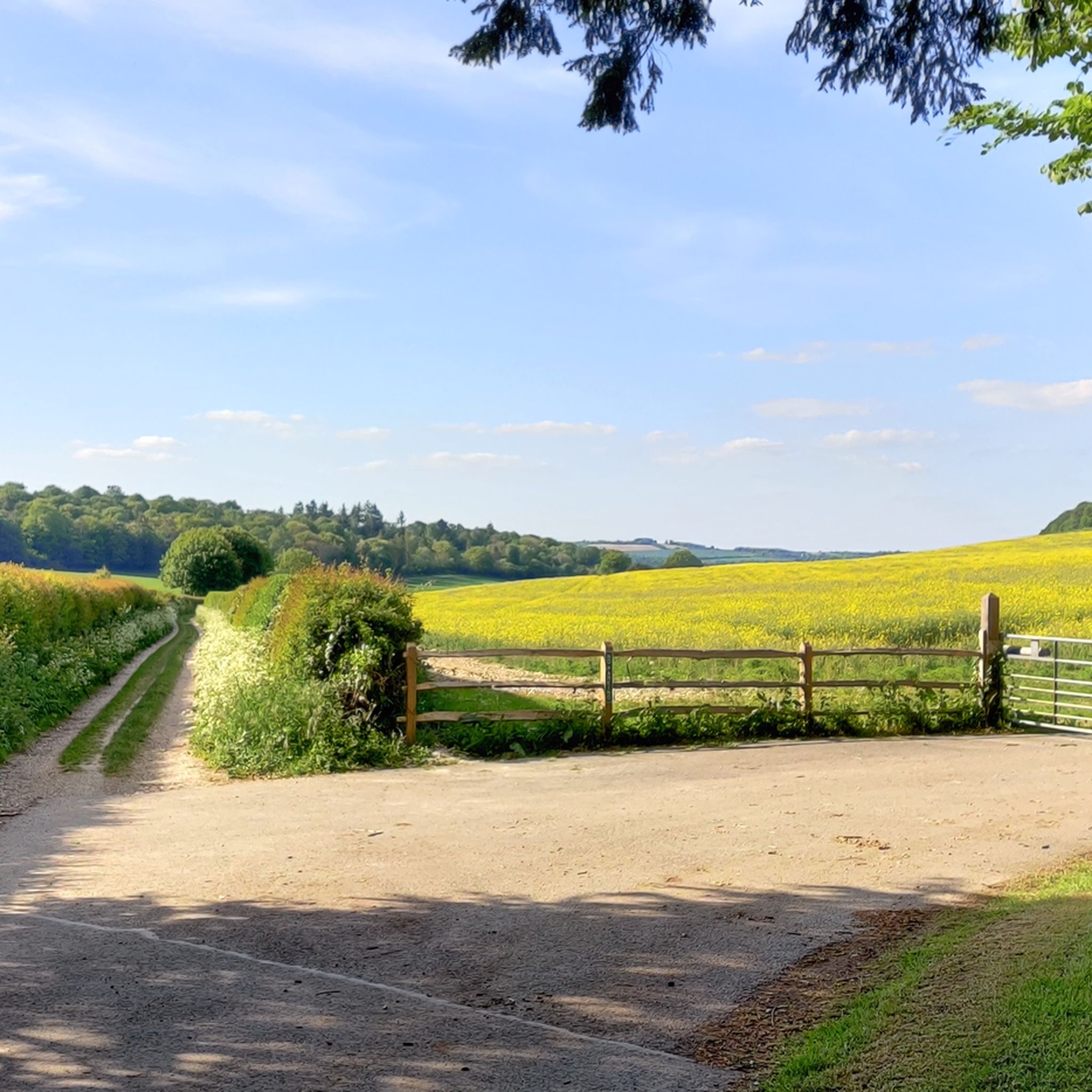
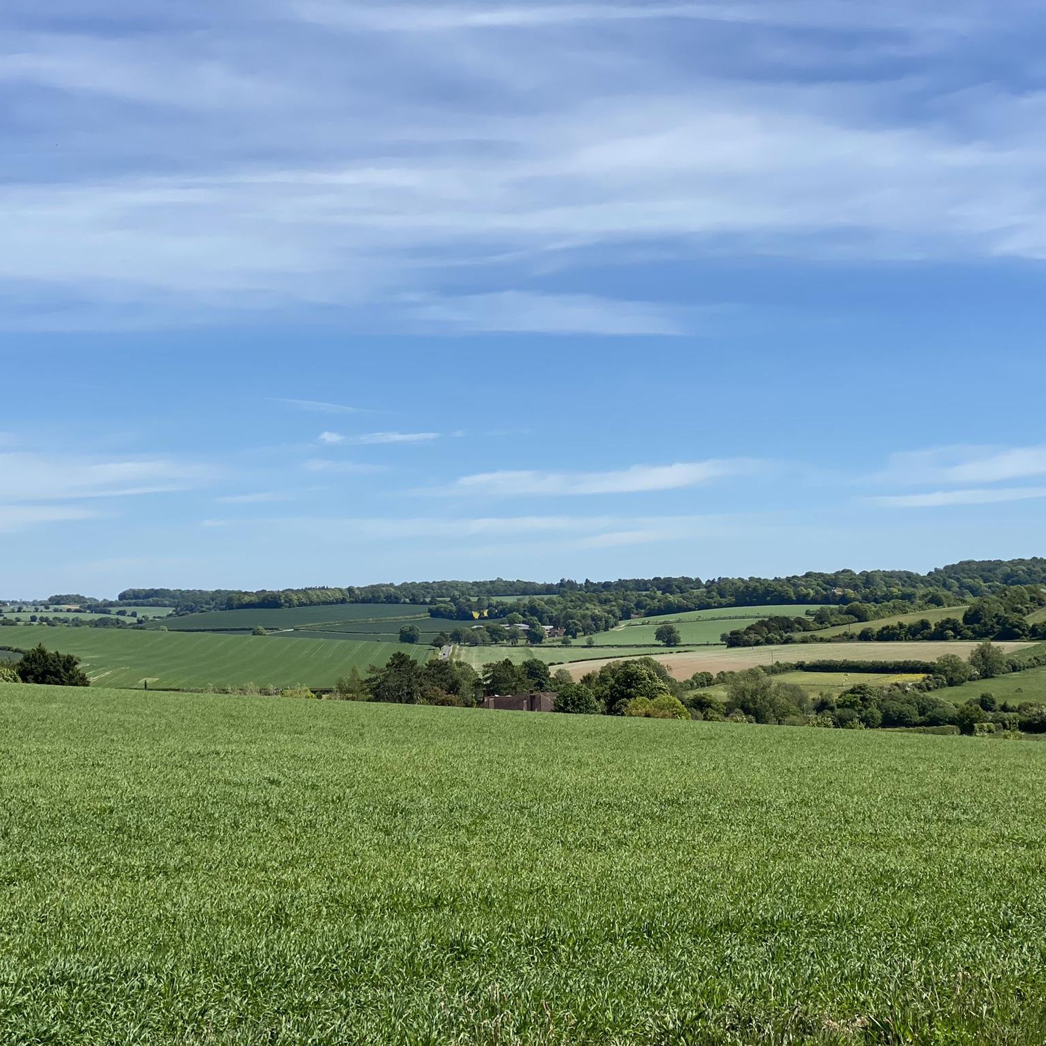
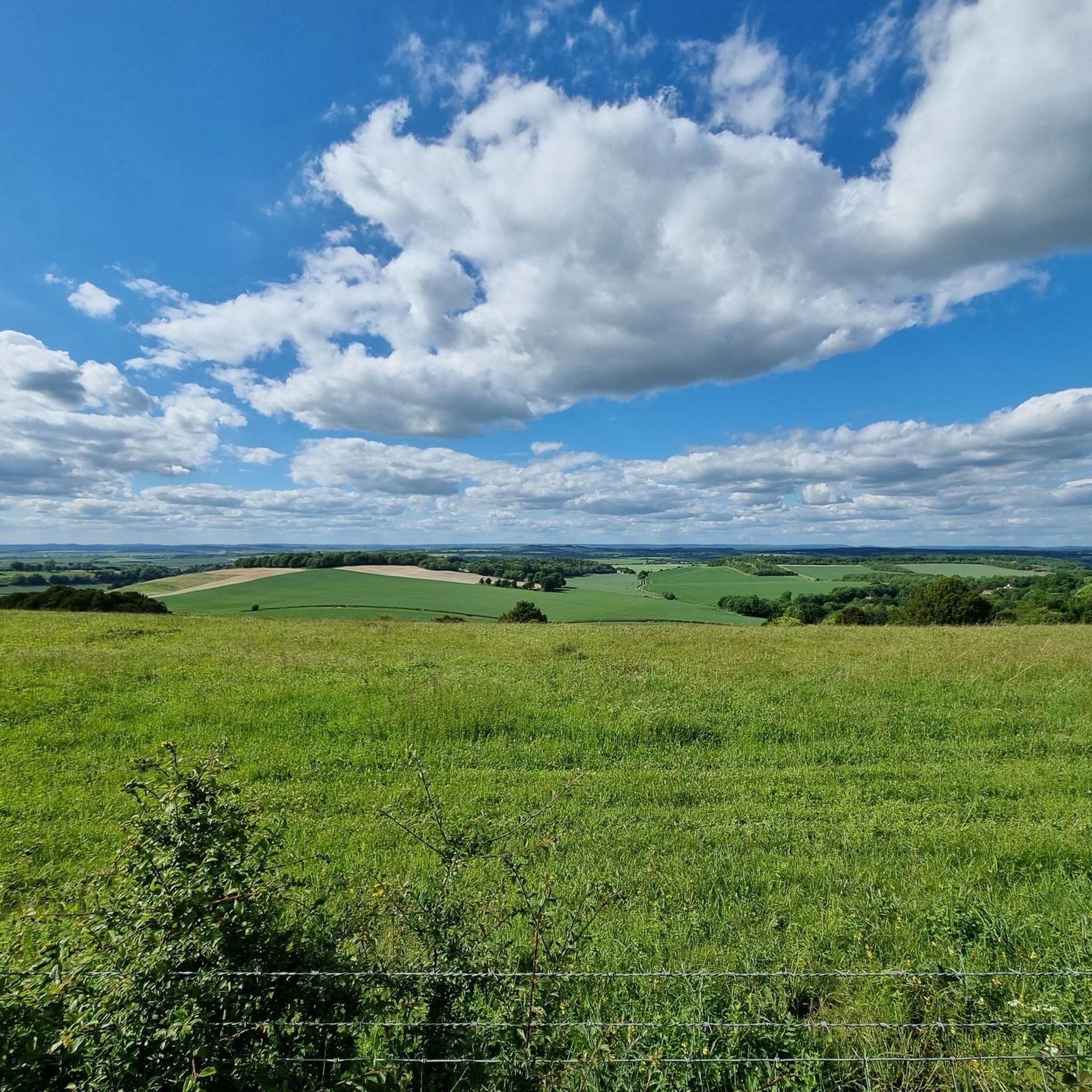
Nice pub and from here you can get up to Farley Mount which had great views of the area or go up over the hill behind the pub and link onto the Test Way
0
0
When it's Bluebell as season it's a sea of blue here. Photos don't do it justice.
0
0

Come here in mid to late April and you'll find one of the best bluebell woods near Winchester.
0
0

serves a great pint and has some local characters in the bar
0
0

Huge solar farm the solar farm consisting of over 200,000 photovoltaic panels. It has a peak capacity of 50 megawatts (MW) and can generate enough electricity to power around 15,000 homes annually.
0
0
Nice place to stop on Broughton Drove with a bench.
0
0
Traditional country pub with a good selection of local ales. Has a log fire inside and outdoor seating.
0
0
Frequently Asked Questions
How many running routes are available around Kings Somborne?
There are over 40 diverse running routes around Kings Somborne, catering to various fitness levels. These include easy, moderate, and difficult trails, offering a wide range of options for exploring the Test Valley's beautiful landscapes.
Are there any easy or beginner-friendly jogging routes in Kings Somborne?
Yes, while many routes are moderate to difficult, there are options suitable for beginners. The area features accessible paths, including sections of disused railway lines like the Test Way, which offer relatively flat and continuous surfaces ideal for an easier run. For example, the John O'Gaunt Inn loop from Bossington is a moderate 9 km route with minimal elevation gain.
What kind of natural features can I expect to see on running trails near Kings Somborne?
Jogging routes around Kings Somborne showcase the region's diverse natural beauty. You'll encounter the shallow, fast-flowing River Test, rolling hills offering panoramic views, and woodlands like Parnholt Wood. Some trails may even pass by local vineyards, adding to the scenic variety.
Are there any circular running routes available?
Many of the running routes around Kings Somborne are designed as loops, allowing you to start and finish in the same location. For instance, the Tanner's Pond – Houghton Bay loop from King's Somborne is a challenging 29 km circular route that explores varied terrain.
What do other runners say about the trails in Kings Somborne?
The running routes in Kings Somborne are highly regarded by the komoot community, with an average rating of 4.4 out of 5 stars from over 50 reviews. Runners often praise the varied terrain, scenic views, and the extensive network of footpaths that allow for diverse running experiences.
Can I find routes that pass by historical landmarks or interesting sights?
Absolutely. The Kings Somborne area is rich in history and notable sights. You can explore routes that incorporate parts of former Roman Roads or pass by the 13th-century Church of St Peter and St Paul in the village. Nearby attractions include St Catherine's Hill, an Iron Age hillfort with exceptional views, and the historic Wolvesey Castle (Old Bishop's Palace).
Are there any running routes that are suitable for families?
While specific 'family-friendly' routes depend on the age and ability of children, many of the flatter sections, particularly those along disused railway lines like the Test Way, can be suitable for families. These paths offer a more even surface and are generally less challenging. The village itself, with its charm, also makes for pleasant, shorter walks.
Are dogs allowed on the jogging trails around Kings Somborne?
Many footpaths and trails in the Kings Somborne area are dog-friendly, but it's always advisable to keep dogs on a lead, especially when passing through livestock fields or nature reserves. Always follow local signage and respect wildlife. The extensive network of paths provides ample space for you and your canine companion to enjoy a run.
Where can I park when visiting Kings Somborne for a run?
Kings Somborne offers various parking options within the village, making it a convenient starting point for many routes. Specific parking details can often be found on individual route descriptions on komoot, or you can look for public parking areas within the village itself before starting your run.
Are there any running routes that include a pub stop?
Yes, the region offers routes that can incorporate stops at traditional pubs. The historic John O'Gaunt Inn in nearby Horsebridge, located along the Test Way, is a popular landmark and a great potential refreshment stop for those on longer runs. Consider the Cow Drove Hill – Stockbridge High Street loop from King's Somborne, which passes through areas with amenities.
What is the terrain like on the running trails, and do I need special footwear?
The terrain around Kings Somborne is varied, ranging from paved surfaces and accessible paths to mixed terrain sections through woodlands and rolling hills. In wet weather, some trails can become muddy, so trail shoes are recommended for better grip and comfort on unpaved sections. For example, the Houghton Bay – Copse Corner loop from King's Somborne offers a mix of open fields and wooded sections.
How can I access Kings Somborne using public transport?
While Kings Somborne is a rural village, it is accessible by public transport, primarily bus services connecting it to larger towns like Winchester or Romsey. It's recommended to check local bus schedules in advance, as services may be less frequent, especially on weekends. For more detailed travel information, you might consult local transport websites.
Most popular routes around Kings Somborne
Most popular attractions around Kings Somborne

Get inspired with the komoot mobile app


Explore more
Browse the best Running Trails & Routes in other regions.
