The best walks and hikes around Little Somborne
4.5
(788)
6,920
hikers
275
hikes
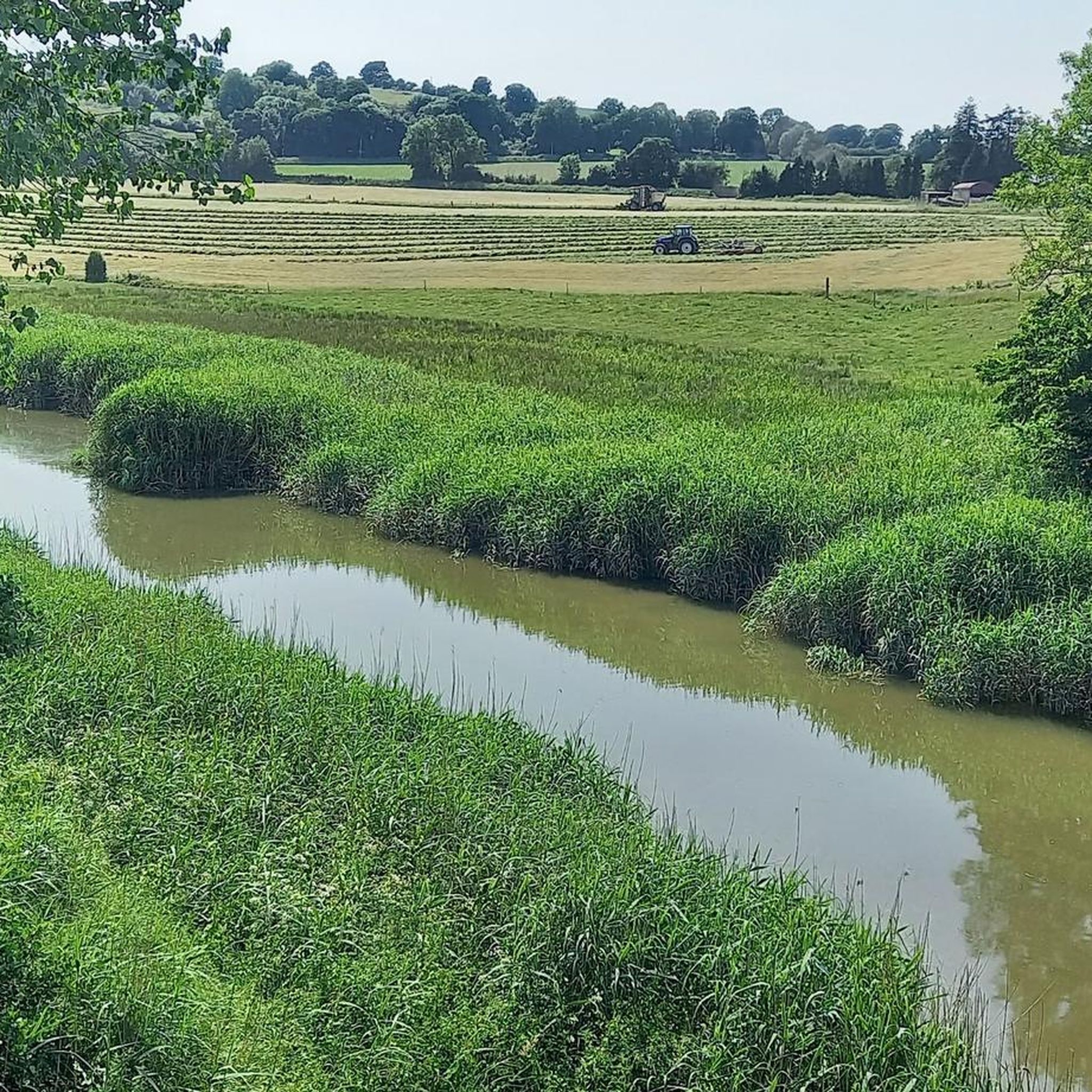
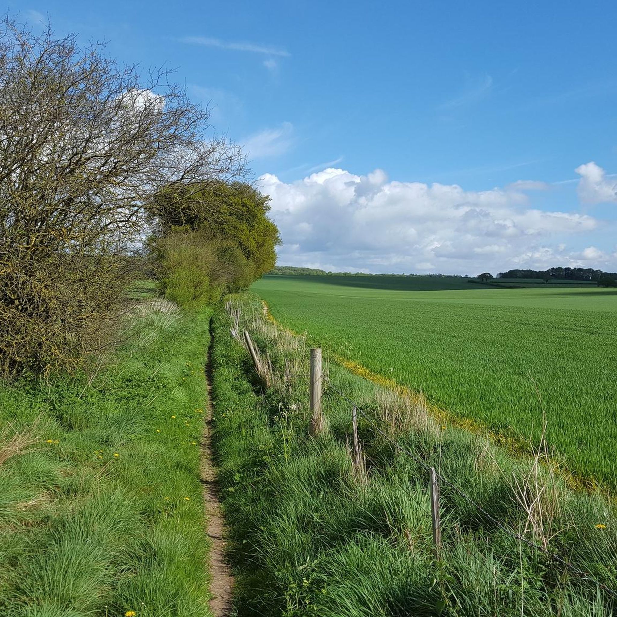
Hikes around Little Somborne explore a landscape of gentle, rolling chalk downland and clear river valleys. The area is defined by the River Test, a chalk stream, and its surrounding water meadows. A network of footpaths, including sections of the long-distance Test Way, provides a variety of walking routes through open arable land and intermittent woodland.
Best hiking trails around Little Somborne
- The most popular hiking route is Chilbolton Cow Common loop from Stockbridge, a 9.4 mile (15.1 km)…
Last updated: May 12, 2026
4.4
(7)
33
hikers
15.1km
03:56
110m
110m
Hike the moderate 9.4-mile (15.1 km) Test Way and Chilbolton Cow Common Loop, featuring riverside paths, downland views, and rich wildlife.
4.7
(15)
92
hikers
Moderate hike. Good fitness required. Easily-accessible paths. Suitable for all skill levels.

Sign up for free
4.5
(13)
71
hikers
Moderate hike. Good fitness required. Easily-accessible paths. Suitable for all skill levels.
2.8
(4)
34
hikers
Moderate hike. Good fitness required. Easily-accessible paths. Suitable for all skill levels.
3.6
(9)
36
hikers
Easy hike. Great for any fitness level. Easily-accessible paths. Suitable for all skill levels.
Get access to more routes and recommendations from other explorers.
Sign up for free
Already have an account?
Our route recommendations are based on thousands of hikes, rides, and runs completed by other people on komoot.
Start today with a free account
Your next adventure awaits.
Login or Signup
Tips from the Community


Dogs will love splashing around in the River Test that crosses the common on the Chilbolton side.
0
1

Strangely stumbled across this place as was driving to another location. So glad I turned off road and followed the sign to it.
0
0

When it's Bluebell as season it's a sea of blue here. Photos don't do it justice.
0
0

Come here in mid to late April and you'll find one of the best bluebell woods near Winchester.
0
0


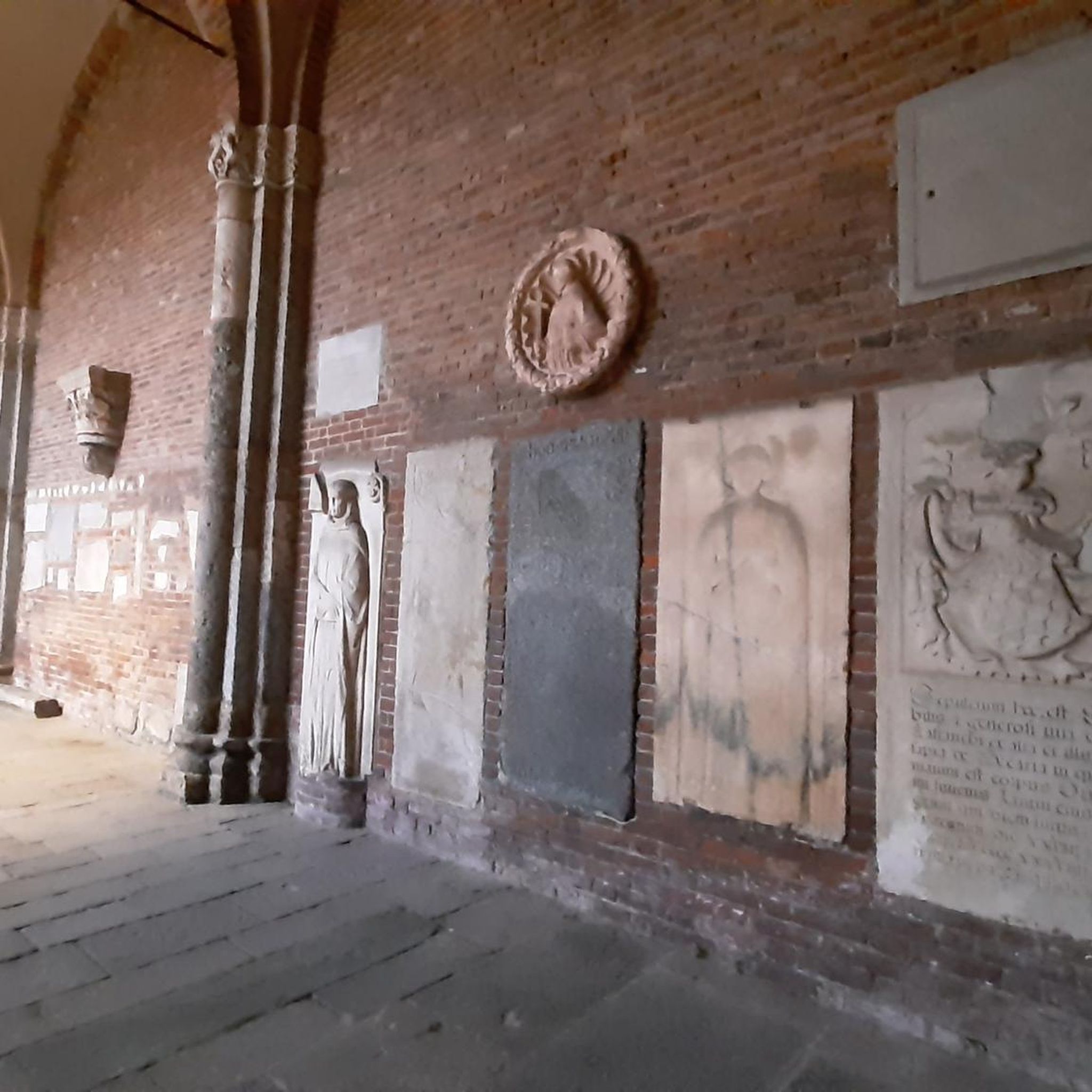
Striking Grade II Listed Building in the heart of Kings Somborne.
0
0
Frequently Asked Questions
What is the terrain like for hiking around Little Somborne?
The landscape is characterized by gentle, rolling chalk downland and clear river valleys. You'll find a mix of open arable land, riverside paths along the famous River Test, and sections of woodland. Most trails are on well-trodden footpaths, but some areas, especially near the river, can be muddy after rain.
Are there many hiking trails to choose from?
Yes, there are over 290 hiking routes to explore in the area. The trails range from easy strolls to more challenging hikes, with a large number of moderate options available, ensuring there's a walk for every ability level.
What do other hikers enjoy most about the Little Somborne area?
The region is highly regarded by the komoot community. Hikers often praise the serene beauty of the chalk streams, the expansive views from the downlands, and the network of well-maintained, historic footpaths. The blend of natural scenery and local history is a frequently mentioned highlight.
Are there any good circular walks available?
Absolutely. Many routes in the area are circular, making logistics simple. For an easy circular option, consider the Red Telephone Box – Stockbridge High Street loop from Stockbridge, which is a relatively flat and short walk perfect for a quick outing.
Can I bring my dog on the trails?
Yes, the area is generally dog-friendly, with many open spaces and footpaths suitable for walking with a dog. However, you will likely cross fields with livestock and walk near roads, so it's important to keep your dog on a lead where required. Always be mindful of local signage and wildlife.
Are there any easy, family-friendly walks?
Yes, there are plenty of easier options suitable for families. The area's gentle terrain lends itself well to shorter, less strenuous walks. The paths around Stockbridge Common Marsh are often flat and offer great opportunities for spotting wildlife in and around the River Test.
Which hikes offer the best views?
For expansive views across the Hampshire countryside, the trails around Stockbridge Down are an excellent choice. This popular National Trust site sits on chalk downland and provides panoramic vistas. The paths here are well-trodden and offer a rewarding walk with a sense of open space.
Are there any walks that feature the River Test?
Many local trails follow the River Test, a world-renowned chalk stream known for its clear water. A great option to experience it is the Longstock Park Lake – Red Telephone Box loop from Longstock, which takes you along scenic riverside sections.
What are some historical walks in the area?
The region is rich in history. You can walk in the footsteps of Romans on trails that follow the old Roman road between Winchester and Salisbury. A popular route that incorporates local history is the John of Gaunt Inn – Horsebridge Station loop from King's Somborne, which passes near the site of John of Gaunt's former deer park.
Do any long-distance footpaths pass through the area?
Yes, several major long-distance paths converge near Little Somborne. You can walk sections of the Clarendon Way, which runs between Winchester and Salisbury, as well as parts of the Test Way and the Monarch's Way, offering opportunities for more extensive hikes.
How do I get to the trailheads and is there parking?
Most hikes start from villages like Little Somborne, King's Somborne, or Stockbridge. Driving is the most common way to access the trailheads, with on-street parking often available in the villages. For popular spots like National Trust - Stockbridge Down, there is a dedicated free car park.
Are there any good pub walks?
Yes, combining a walk with a pub visit is very popular here. Many routes start or end in villages like King's Somborne or Stockbridge, which have traditional pubs. The John of Gaunt Inn in King's Somborne, for example, is a great starting point for several circular routes.
Most popular attractions around Little Somborne

Get inspired with the komoot mobile app


Explore more
Browse the best Hikes in other regions.
