The best walks and hikes around Agharahan
4.2
(12)
140
hikers
10
hikes
Hiking around Agharahan offers diverse terrain within County Fermanagh, Northern Ireland. The area features varied topography, from a high plateau in the Knockmore Scarpland to lower-lying areas, providing elevation changes for exploration. This landscape is characterized by impressive vertical karst geology and exposed limestone pavement, contributing to unique natural features. The region is situated within a broader network of trails that include forest parks and upland blanket bog.
Best hiking trails around Agharahan
- The most popular hiking route is Belmore…
Last updated: May 14, 2026
3.5
(2)
34
hikers
6.08km
01:45
140m
140m
Easy hike. Great for any fitness level. Easily-accessible paths. Suitable for all skill levels.
5.0
(1)
21
hikers
9.20km
02:38
230m
230m
Moderate hike. Good fitness required. Easily-accessible paths. Suitable for all skill levels.

Sign up for free
5.0
(1)
16
hikers
5.29km
01:31
140m
140m
Easy hike. Great for any fitness level. Easily-accessible paths. Suitable for all skill levels.
1.0
(1)
11
hikers
12.5km
03:23
170m
170m
Moderate hike. Good fitness required. Easily-accessible paths. Suitable for all skill levels.
4.0
(1)
7
hikers
10.7km
03:10
310m
310m
Moderate hike. Good fitness required. Easily-accessible paths. Suitable for all skill levels.
Get access to more routes and recommendations from other explorers.
Sign up for free
Already have an account?
Our route recommendations are based on thousands of hikes, rides, and runs completed by other people on komoot.
Start today with a free account
Your next adventure awaits.
Login or Signup
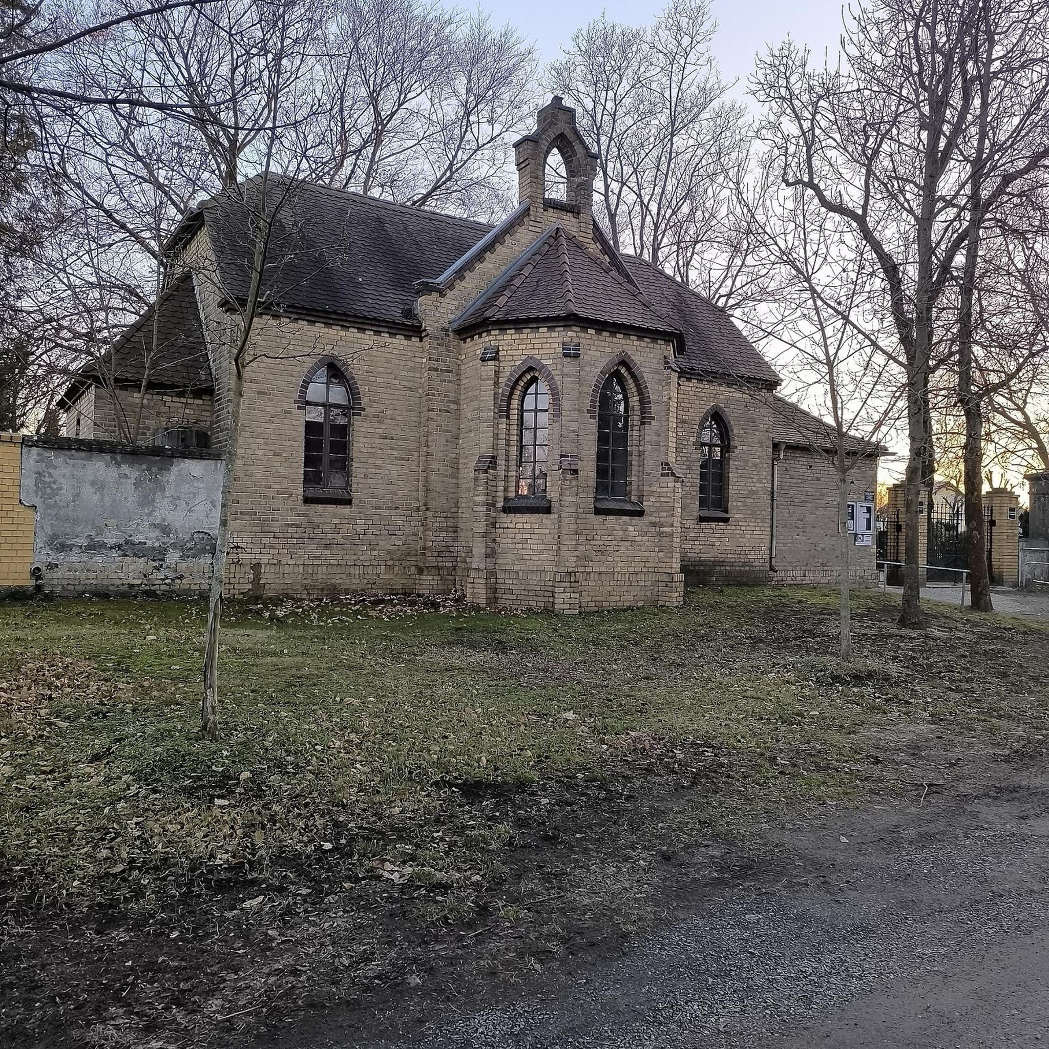
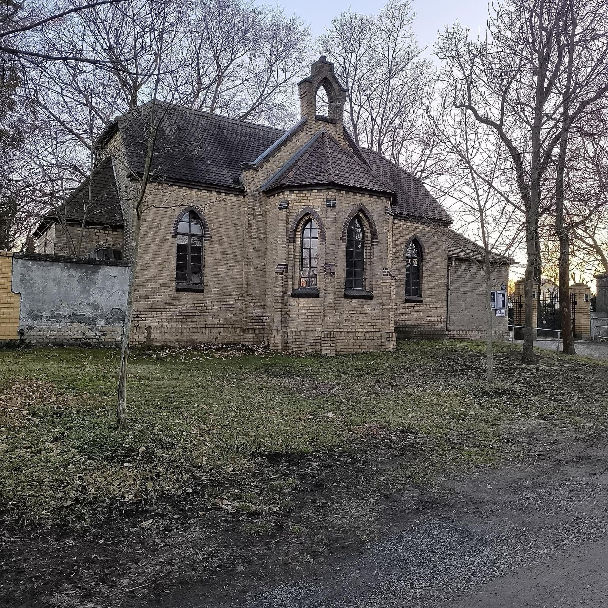
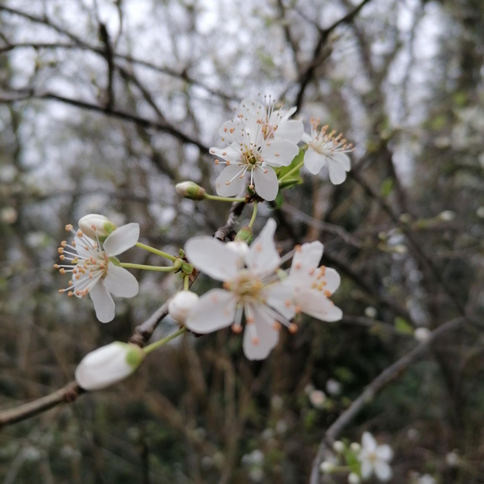
Tips from the Community

"continual slur on Irish caving" It's actually only a few hundred metres is accessible and it's total length is thought to be 2km. No where near the longest cave in Ireland. Consider a trip in only if well equipped with a good light and helmet. Alternatively/also consider visiting McKenzies back lounge just down the road. A much drier watering hole. ;)
1
0

Enjoy a stroll through this gorgeous landscape belonging to the Belmore Uplands. The area is known for it's fascinating wildlife, the most intriguing being the Irish Hare. You'll know if you've spotted a hare over a rabbit because of their black-tipped ears and long black legs.
2
0
Pollnagollum Cave (meaning Hole of the Dove) is the longest cave system in Ireland. The cave system is complex and fascinating and is fed by a tumbling waterfall that topples off a limestone cliff. Watch your stepping here as rocks can be unstable and slippery, and don't forget your camera for some awesome shots.
3
0

Fairly accessible but not wheelchair accessible. Would be very careful with small children as well
4
0
Frequently Asked Questions
How many hiking trails are available around Agharahan?
Agharahan offers a selection of 10 hiking trails, ranging from easy strolls to more moderate challenges. This variety ensures options for different fitness levels and preferences.
What kind of landscape and natural features can I expect to see while hiking in Agharahan?
Hiking in Agharahan reveals a diverse landscape, characterized by varied topography from the high plateau of the Knockmore Scarpland down to lower-lying areas. You'll encounter impressive vertical karst geology, exposed limestone pavement, and forest paths. The region is also known for its extensive cave systems, including the notable Noon's Hole/Arch Cave system, and offers views of Belmore Mountain.
Are there any waterfalls to visit on hikes near Agharahan?
Yes, you can hike to the Blackslee Waterfall. The Blackslee Waterfall loop from Correl is a moderate 5.7-mile (9.2 km) path that features a significant elevation gain and leads directly to the waterfall. Another option is the Blackslee Waterfall loop from Whiterocks, an easier 3.3-mile (5.3 km) route.
Can I find family-friendly hiking options in Agharahan?
Yes, Agharahan offers easy hikes suitable for families. The Belmore Forest loop via Pollnagollum Cave is an easy 3.8-mile (6.1 km) trail that takes about 1 hour 45 minutes to complete, offering stunning landscapes and views of Belmore Mountain. This route is a great choice for a family outing.
Are there any circular hiking routes available?
Many of the trails in Agharahan are designed as circular routes, allowing you to start and end at the same point. Examples include the Belmore Forest loop via Pollnagollum Cave, the Blackslee Waterfall loop from Correl, and the Aghanaglack Prehistoric Tomb loop from Aghanaglack.
What are some notable historical or archaeological sites I can explore?
Agharahan and its surroundings are rich in history. You can explore the Aghanaglack Prehistoric Tomb loop from Aghanaglack, a 7.8-mile (12.5 km) trail that leads through varied terrain to this ancient site. Additionally, nearby attractions include the Tully Castle Ruins and Monea Castle Ruins, offering glimpses into the region's past.
What is the difficulty level of hikes in Agharahan?
The hikes in Agharahan cater to various abilities. You'll find a good mix of easy and moderate trails. There are 3 easy routes, perfect for a relaxed walk, and 7 moderate routes for those seeking a bit more challenge, often involving greater distances and elevation changes.
Is Agharahan suitable for dog-friendly walks?
While specific dog-friendly designations for each trail are not always available, many forest and rural paths in County Fermanagh are generally suitable for dogs, provided they are kept under control, especially around livestock or wildlife. It's always best to check local signage for any restrictions on specific routes or in protected areas.
What do other hikers say about the trails in Agharahan?
The hiking trails in Agharahan are highly regarded by the komoot community, with an average score of 4.2 stars from over 10 reviews. Hikers often praise the varied terrain, the scenic views of Belmore Mountain, and the unique natural features like the cave country. Over 100 hikers have already used komoot to explore the area.
Are there any unique geological features to observe?
Absolutely. Agharahan is situated in an area known for its distinctive karst geology. You can observe impressive vertical karst features and fine exposed limestone pavement. The region is home to the extensive Noon's Hole/Arch Cave system, which includes one of Ireland's deepest potholes. While the main cave system requires advanced caving, the surface landscape around it offers fascinating geological insights. You can learn more about Noon's Hole on Wikipedia.
When is the best time of year to go hiking in Agharahan?
County Fermanagh, where Agharahan is located, offers hiking opportunities year-round. Spring and autumn provide pleasant temperatures and beautiful scenery with blooming wildflowers or vibrant foliage. Summer is ideal for longer days and warmer weather, while winter can offer crisp, clear conditions, though some paths might be muddy or slippery. Always check local weather forecasts before heading out.
Are there any specific trails that offer good views?
Yes, several trails provide excellent viewpoints. The Belmore Forest loop via Pollnagollum Cave offers stunning views of Belmore Mountain. For broader scenic vistas, the Knockmore Scarpland, where Agharahan is situated, provides elevated perspectives of the surrounding County Fermanagh landscape. You can also visit the View of Lough Erne from Cliffs of Magho, a nearby highlight offering panoramic lake views.
What are the parking options for hikers in Agharahan?
While specific parking details for every trailhead are not provided, hiking areas in County Fermanagh, especially those within forest parks like Belmore Forest, typically have designated car parks. It is advisable to check the starting point of your chosen route on komoot or local signage for the most accurate parking information.
Most popular attractions around Agharahan

Get inspired with the komoot mobile app


Explore more
Browse the best Hikes in other regions.
