The best road cycling routes around Dalton
4.5
(132)
3,878
riders
355
rides
Road cycling routes around Dalton are situated in the foothills of the Appalachian Mountains, offering a varied landscape for cyclists. The terrain ranges from flatter urban sections to more challenging climbs into the surrounding hills. This region is characterized by its diverse topography, providing both accessible paved paths and routes with significant elevation changes.
Best road cycling routes around Dalton
- The most popular road cycling route is Firbeck Village and Church – Leger Lakes Fishing Ponds loop from Whiston,…
Last updated: May 12, 2026
20
riders
31.8km
01:36
280m
280m
Easy road ride. Great for any fitness level. Mostly well-paved surfaces and easy to ride.
6
riders
Easy road ride. Great for any fitness level. Mostly well-paved surfaces and easy to ride.

Sign up for free
5.0
(1)
15
riders
58.2km
02:45
430m
430m
Moderate road ride. Good fitness required. Mostly well-paved surfaces and easy to ride.
8
riders
Easy road ride. Great for any fitness level. Mostly well-paved surfaces and easy to ride.
5.0
(1)
6
riders
Moderate road ride. Good fitness required. Mostly well-paved surfaces and easy to ride.
Get access to more routes and recommendations from other explorers.
Sign up for free
Already have an account?
Our route recommendations are based on thousands of hikes, rides, and runs completed by other people on komoot.
Start today with a free account
Your next adventure awaits.
Login or Signup

Tips from the Community

June 2025 - they've covered the road with chip and seal which is very loose and has formed mounds in places. It's not too bad going up but wouldn't recommend a descent.
0
0

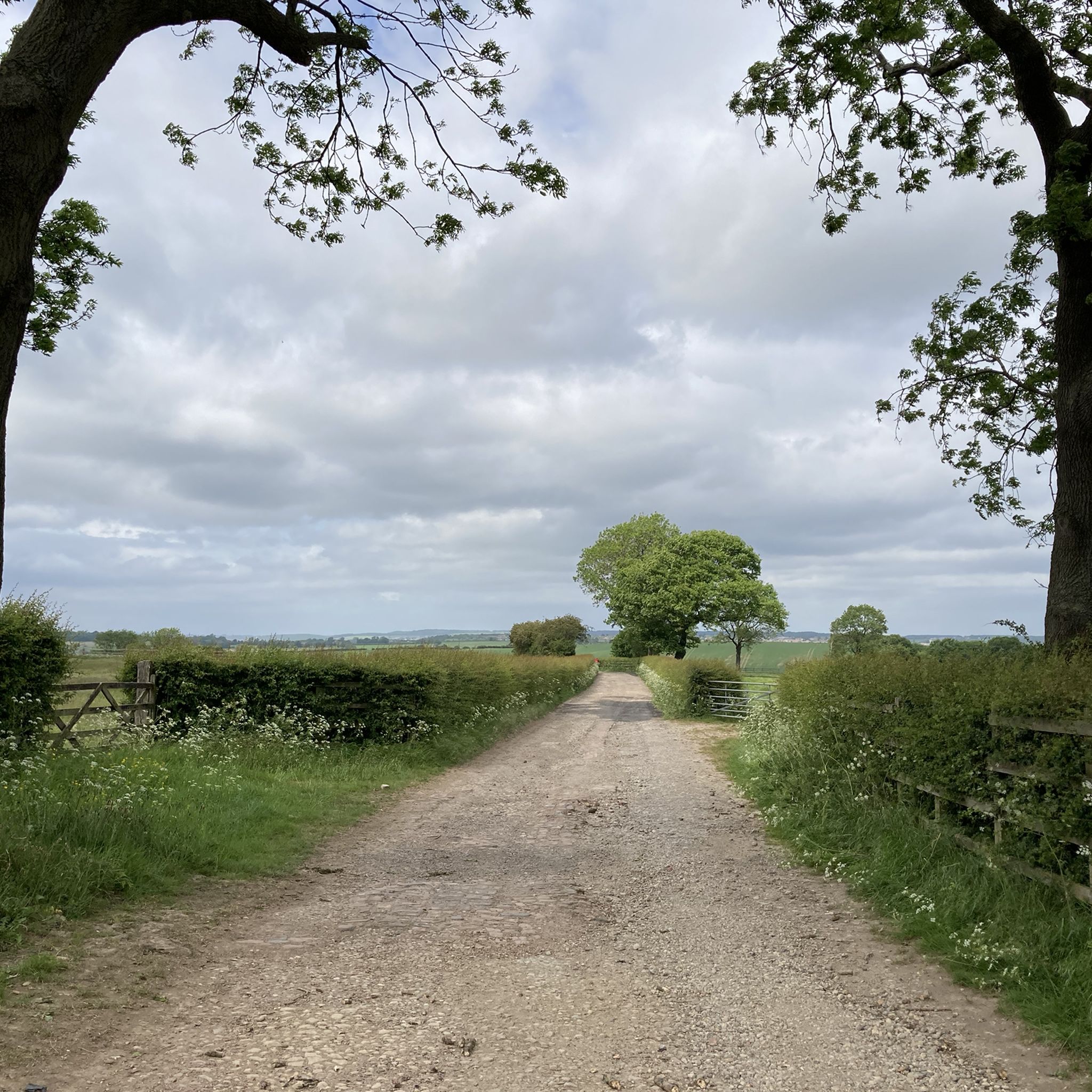
King’s Wood Lane is a peaceful, open road that forms part of the Rotherham Local Cycle Network, connecting King’s Wood with Laughton-en-le-Morthen. Be sure to stop by the café at Leger Lakes, just before reaching Laughton-en-le-Morthen.
0
0

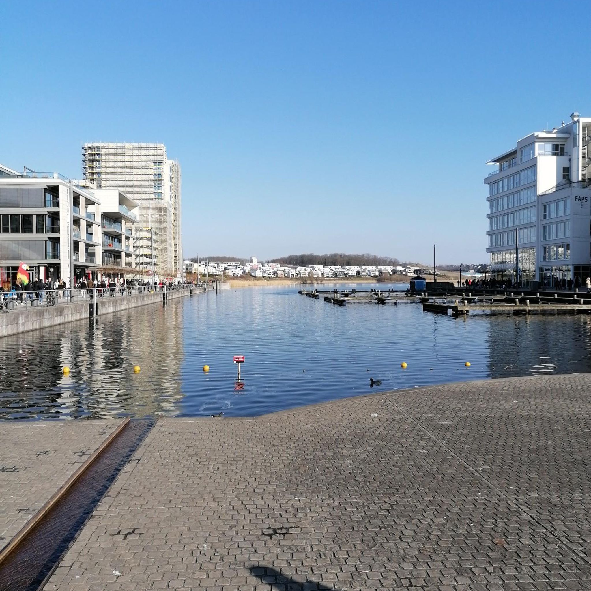
Stop for a beer or soft drink and enjoy the sport.
0
0


When in Firbeck take a wander out onto the Old Airfield, down the left side of the church and follow the path across the field, and read the memorial to the pilots who were trained there during WW2 and the years immediately after. Firbeck is also home to Firbeck Hall, a grand Victorian manor house built in 1594 by William West.
0
0

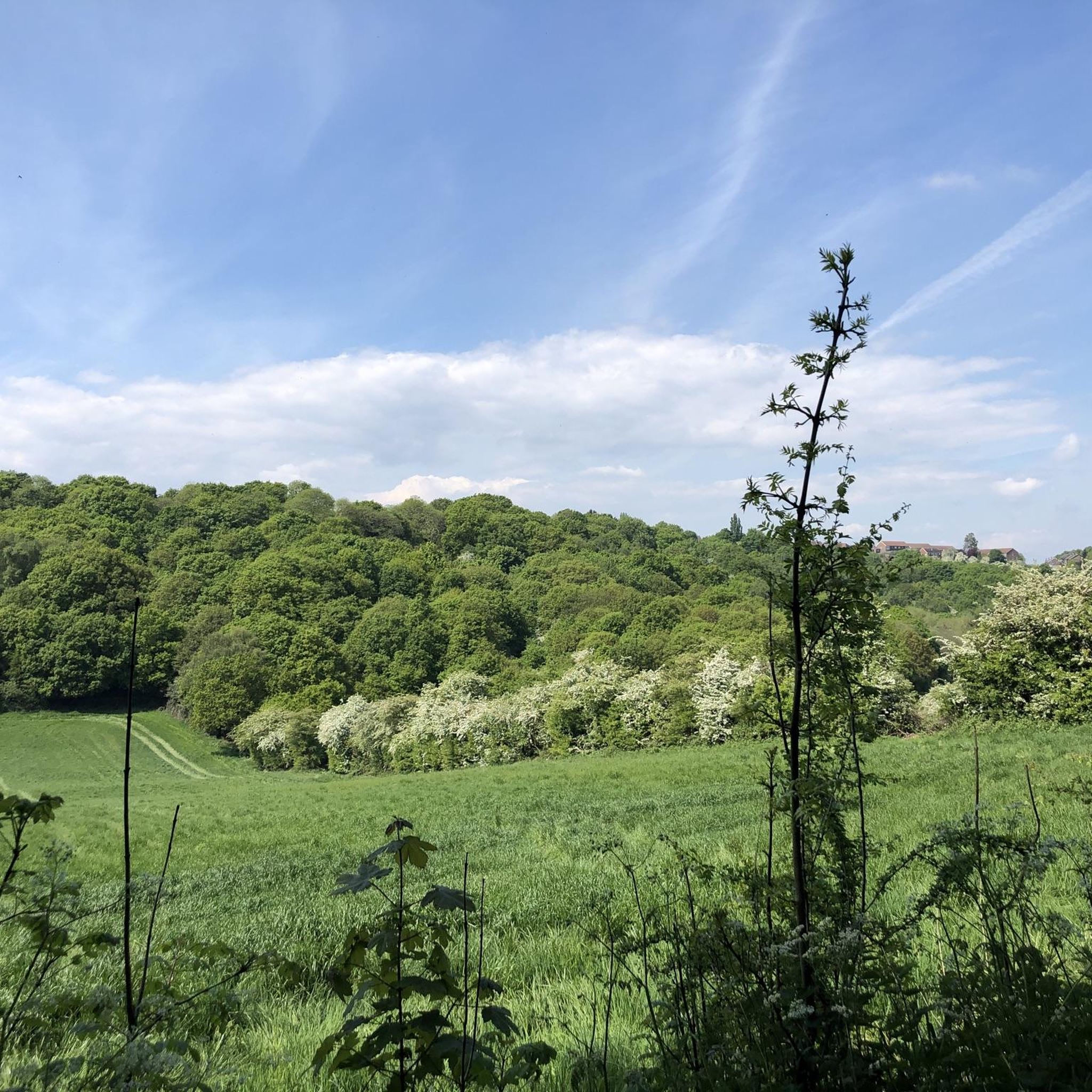
If riding from Sheffield, this is the first bit of 'proper' peace and quiet you get when heading East. Not many easy ways to get up here so the first views of the flatlands ahead are very welcome!
0
0

Gapsick Lane runs from the A616 near Clowne in the south up to a high point of about 141m. It then drops slightly to the cross roads with the A619 on Whitwell Common. This highlight continues along Gipsyhill Lane to the edge of Bondhay Common. The road is quiet and the views across farmland and down to the nearby towns are nice.
1
0

Scenic and quiet. Just the job on the bike
0
0
Frequently Asked Questions
What kind of terrain can I expect on road cycling routes around Dalton?
Road cycling routes around Dalton offer a diverse landscape, ranging from flatter urban sections to more challenging climbs into the surrounding Appalachian foothills. You'll find both accessible paved paths and routes with significant elevation changes, catering to various skill levels. The region's topography provides a compelling mix of natural beauty and varied terrain.
Are there road cycling routes suitable for beginners or those looking for an easy ride?
Yes, Dalton offers numerous easy road cycling routes. For instance, the Firbeck Hall – Leger Lakes Fishing Ponds loop from Dalton is an easy 16.5-mile (26.5 km) path with about 684 feet (208 meters) of ascent, taking approximately 1 hour 15 minutes. Another great option is the Firbeck Village and Church – Leger Lakes Fishing Ponds loop from Whiston, which is 19.8 miles (31.8 km) long with 929 feet (283 meters) of elevation gain, typically completed in 1 hour 35 minutes.
Are there any challenging road cycling routes or climbs in the Dalton area?
Absolutely. While many routes are easy or moderate, the region's location in the Appalachian foothills means there are options for more demanding rides with significant elevation gains. For example, the Leger Lakes Fishing Ponds – Bib Lane Climb loop from Bramley is a moderate 36.1-mile (58.2 km) route with over 1,400 feet (434 meters) of ascent, offering a good challenge. The diverse terrain ensures experienced riders can find routes that test their limits.
What are some scenic highlights or landmarks I might see while road cycling near Dalton?
The Dalton area is rich in scenic beauty and points of interest. While cycling, you'll traverse rural areas and enjoy views of the Appalachian foothills. You might pass by natural features like the Sprotbrough Flash Nature Reserve or the RSPB Old Moor Nature Reserve. The region also features various parks and lakes, offering picturesque backdrops for your ride.
Are there any circular road cycling routes around Dalton?
Yes, many of the road cycling routes around Dalton are designed as loops, allowing you to start and end at the same point. Popular examples include the View of Ughill Wind Turbines – Greggs Tanyard Coffee Stop loop from Whiston, a 13.8-mile (22.1 km) trail, and the The Yard Coffee Shop – Greggs Tanyard Coffee Stop loop from Rotherham Rugby Club, which is 14.9 miles (23.9 km) long. These circular routes are convenient for exploration.
What is the best time of year for road cycling in Dalton?
Dalton's climate, influenced by its location in the Appalachian foothills, generally offers pleasant conditions for road cycling during spring, summer, and fall. These seasons typically provide comfortable temperatures and vibrant scenery. While winter cycling is possible, it's advisable to check local weather conditions for colder temperatures or potential precipitation.
Are there any family-friendly road cycling options in Dalton?
Yes, Dalton offers several family-friendly road cycling options, particularly on its flatter urban routes and paved paths. The presence of parks like Haig Mill Lake Park, which is suitable for biking, suggests accessible and safer environments for families. When choosing a route, look for those designated as 'easy' with minimal elevation gain for a more comfortable family experience.
What do other road cyclists say about the routes in Dalton?
The road cycling routes in Dalton are highly regarded by the komoot community, boasting an average rating of 4.5 stars from over 120 reviews. More than 3,800 road cyclists have used komoot to explore the area. Reviewers often praise the diverse terrain, which offers options for all abilities, and the scenic beauty of the Appalachian foothills.
Is there dedicated cycling infrastructure or bike lanes in Dalton?
While the region offers extensive road cycling routes, specific infrastructure can vary. The region research indicates that a portion of Waring Road in Dalton includes a dedicated bike lane, demonstrating some commitment to cyclist safety and accessibility. For other routes, cyclists typically share the road, especially in rural areas.
Are there places to stop for coffee or refreshments along the road cycling routes?
Yes, some routes are designed with refreshment stops in mind. For example, the View of Ughill Wind Turbines – Greggs Tanyard Coffee Stop loop from Whiston explicitly mentions a coffee stop. The presence of cafes like Lakeside Cafe and pubs like The Boat Inn, Sprotbrough near some routes provides opportunities for breaks and refreshments during your ride.
Where can I find parking for road cycling routes in Dalton?
Many road cycling routes in Dalton are accessible from various starting points, including local parks and trailheads. While specific parking details for every route vary, areas like Haig Mill Lake Park and Heritage Point Regional Park offer facilities that may include parking suitable for cyclists. It's always a good idea to check the route details on komoot for recommended starting points and parking information.
Are there any long-distance road cycling routes available in the Dalton area?
Yes, for those seeking longer rides, Dalton's network extends to routes that cover significant distances. While not explicitly listed in the top routes, the region research mentions routes like 'ToA19 - Whitwell' covering 184.2 km (114.5 miles), appealing to experienced riders looking for a substantial challenge. The State Bicycle Route 90, 'Mountain Crossing,' also passes through Dalton, offering eastward journeys.
Most popular attractions around Dalton

Get inspired with the komoot mobile app


Explore more
Browse the best Road cycling routes in other regions.
