The best mountain hikes around Fraxern
4.8
(86)
792
hikers
64
hikes
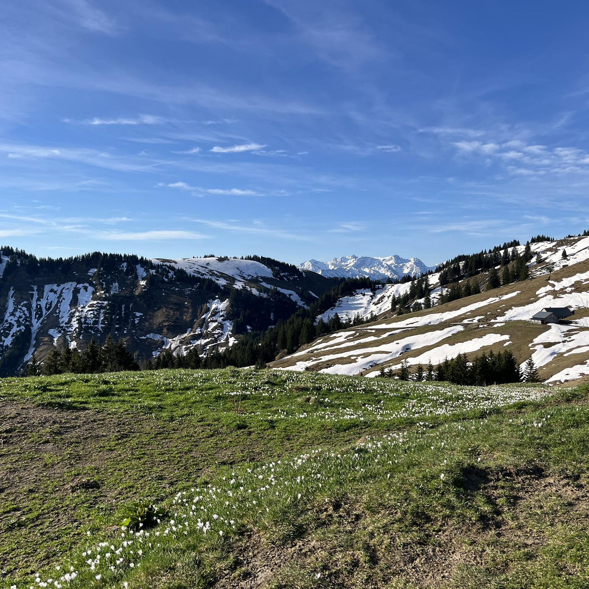
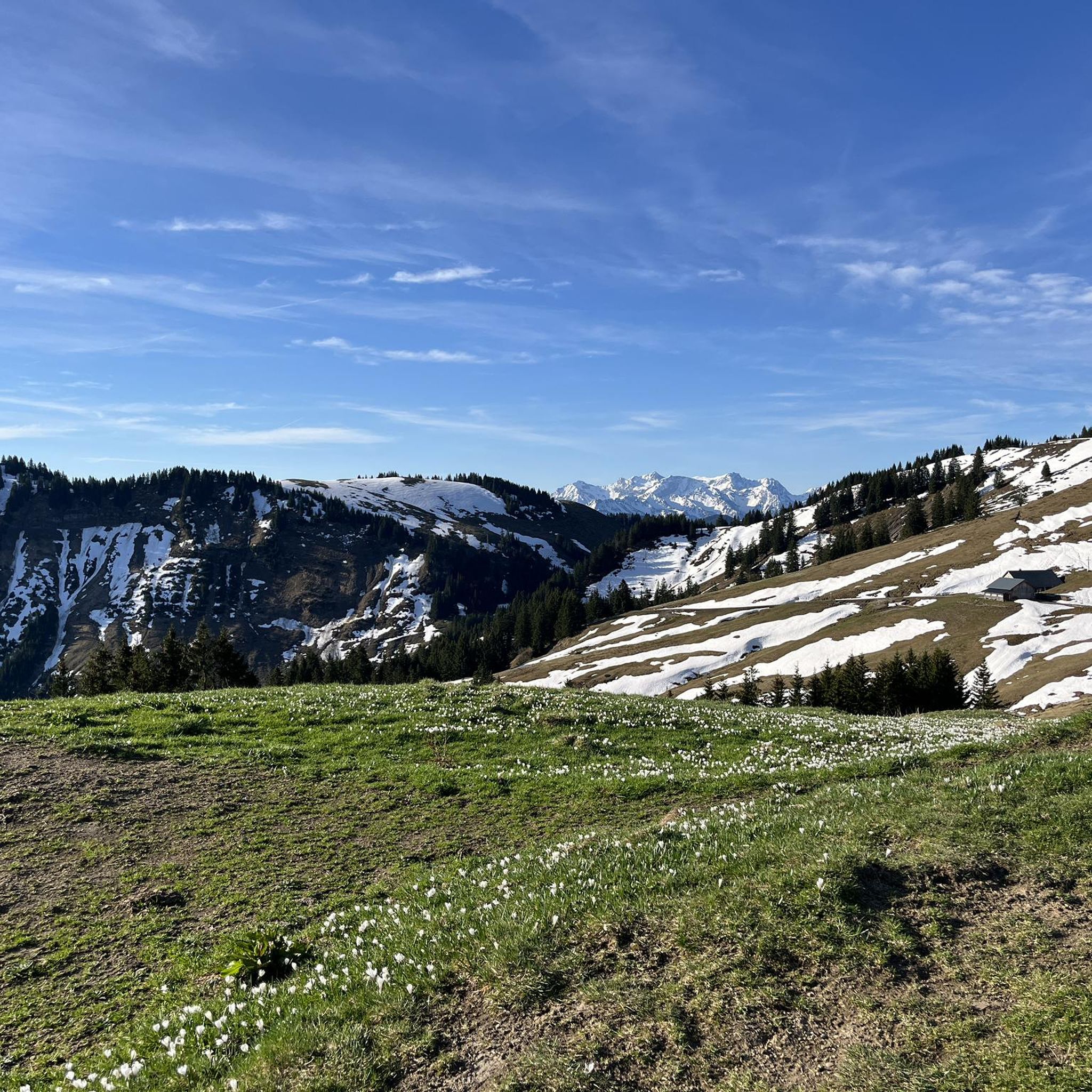
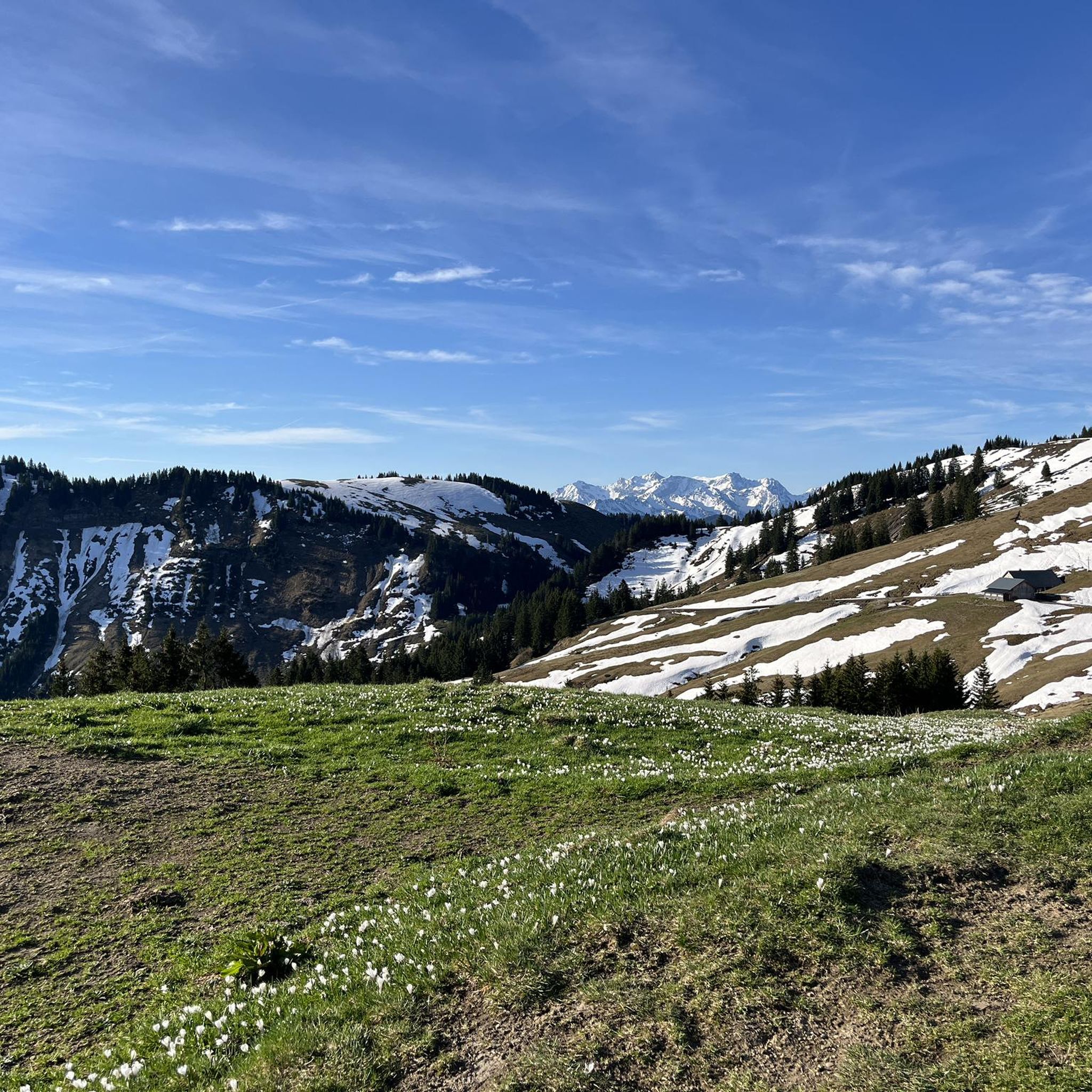
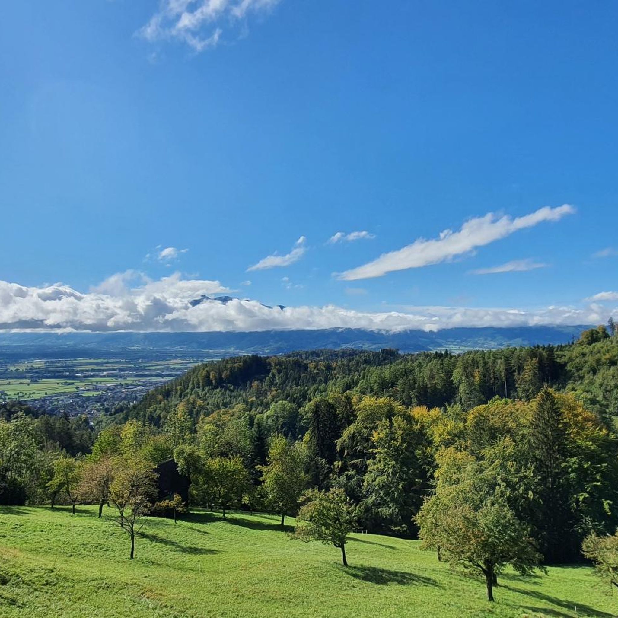
Mountaineering routes around Fraxern are characterized by diverse mountain terrain, ranging from high-alpine landscapes to wide valley floors, situated at the junction of the Western and Eastern Alps. The region features prominent peaks such as Hohe Kugel and Hoher Freschen, offering varied experiences. Elevated positions provide panoramic views of the Rhine Valley and Lake Constance, adding a scenic dimension to many routes.
Best mountaineering routes around Fraxern
- The most popular mountaineering route is Hohe Kugel Summit (1,645 m) loop from…
Last updated: June 24, 2026
5.0
(2)
39
hikers
13.1km
05:11
930m
930m
Hard mountaineering route. Very good fitness required. Mostly accessible paths. Sure-footedness required.
5.0
(2)
33
hikers
10.4km
04:19
800m
800m
Moderate mountaineering route. Good fitness required. Mostly accessible paths. Sure-footedness required.

Sign up for free
4.5
(4)
24
hikers
8.11km
03:32
590m
590m
Hard mountaineering route. Good fitness required. Sure-footedness, sturdy shoes and alpine experience required.
4.8
(4)
19
hikers
17.5km
07:30
1,130m
1,130m
Hard mountaineering route. Very good fitness required. Sure-footedness, sturdy shoes and alpine experience required.
4.8
(5)
20
hikers
5.06km
02:49
510m
510m
Hard mountaineering route. Good fitness required. Sure-footedness, sturdy shoes and alpine experience required.
Get access to more routes and recommendations from other explorers.
Sign up for free
Already have an account?
Our route recommendations are based on thousands of hikes, rides, and runs completed by other people on komoot.
Start today with a free account
Your next adventure awaits.
Login or Signup
Tips from the Community

The best and most reliable weather service
0
0

What a view from the Kapf, 1153 m above sea level. The Kapf is a 1153 m high mountain in the Bregenzerwald Mountains. It is located near the town of Hohenems. From the summit, there are views of the Rhine Valley and Lake Constance. It is located in the Hohe Kugel - Hoher Freschen - Mellental nature reserve. Source: https://de.m.wikipedia.org/wiki/Kapf_(Bregenzerwaldgebirge)
9
0
The Witeleloch was first described in a newspaper article around 1907 by archaeologist and amateur geologist Gero von Merhart, who used the name Elisabethhöhle. In 1922, the cave was described by Josef Blumrich, a teacher from Bregenz. The cave has been designated a geological natural monument since April 1979. Source: https://de.m.wikipedia.org/wiki/Witeleloch
8
0


On the ridge you can enjoy the peace and quiet and also have a wonderful view. I find the route from Viktorsberg very beautiful because you have nature almost to yourself. In summer you come across lots of cows at the summit. Can be done at any time of year.
2
0

Always a great destination with a great view over the Rhine Valley 🥰
3
0

Great waterfall that you come across on the way from Ebnit to the Hohe Freschen.
0
0

Fantastic 360° view from the Hohe Kugel of the mountains as well as the Rhine Valley and Lake Constance.
4
1
Frequently Asked Questions
How many mountaineering routes are available around Fraxern?
Fraxern offers a diverse network of over 60 mountaineering routes. These trails cater to various skill levels, from moderate ascents to more demanding multi-day tours, ensuring there's something for every mountaineer.
What are the difficulty levels of mountaineering routes in Fraxern?
The mountaineering routes around Fraxern are predominantly challenging, with 50 routes rated as difficult and 17 as moderate. This region is ideal for those seeking a more demanding experience, featuring varied mountain terrain and significant elevation changes.
What natural landmarks or viewpoints can I expect to see on these routes?
Mountaineering in Fraxern offers breathtaking panoramic views of the Rhine Valley and Lake Constance from elevated positions. Prominent peaks like Hohe Kugel and Hoher Freschen provide expansive vistas. You can also explore natural features such as the impressive Gorge and waterfalls near Kirchele Cave, or the unique Kirchle Rock Cathedral.
Are there any circular mountaineering routes in Fraxern?
Yes, many of the mountaineering routes in Fraxern are designed as loops, offering a complete and varied experience. For example, you can enjoy the popular Hohe Kugel Summit (1,645 m) loop from Fraxern, or the challenging Hoher Freschen Summit – Valüragrat Ridge loop from Ebnit Heumöser.
Are there any routes that feature waterfalls?
Yes, for those who appreciate natural water features, the Ebniter Waterfall – Hoher Freschen Summit loop from Ebnit is a notable option. Additionally, the Gorge and waterfalls near Kirchele Cave is a highlight in the region.
What do other mountaineers say about the routes in Fraxern?
The mountaineering routes in Fraxern are highly regarded by the komoot community, boasting an average rating of 4.9 stars from over 80 reviews. More than 800 mountaineers have explored this area, often praising the diverse terrain, stunning views, and the challenging yet rewarding experiences.
What is the best time of year for mountaineering in Fraxern?
Fraxern is a popular mountaineering destination throughout the year. Its favorable climate and frequent sunshine, especially in winter when it often sits above the valley's fog, make it accessible for hiking and even ski touring or snowshoeing. Spring to autumn offers ideal conditions for traditional mountaineering.
Where can I find places to rest or eat along the routes?
You'll find several huts and mountain guesthouses in the vicinity where you can rest and refuel. Notable options include the Freschen Hut and the Lustenauer Hut. The Alpengasthaus Millrütte – Hohe Kugel Summit (1,645 m) loop from Millrütte also starts near a guesthouse.
Is there parking available near the trailheads?
Yes, parking is available at various trailheads. A convenient option is the Schuttannen Parking and Trailhead, which serves as a starting point for several routes in the area.
Are there any caves to explore near the mountaineering routes?
Yes, the region around Fraxern is home to several interesting caves. You can visit the impressive Kirchle Rock Cathedral, or explore others like Kristallhöhle Kobelwald and Witeleloch Cave.
Are there family-friendly mountaineering options in Fraxern?
While many routes are rated moderate to difficult, Fraxern's diverse trail network includes options suitable for families. The region offers a range of experiences, from shorter walks to more challenging mountain tours, so it's best to check individual route descriptions for suitability for younger or less experienced family members.
Can I reach the mountaineering routes by public transport?
Fraxern is generally accessible, and while specific public transport details for each trailhead may vary, local bus services often connect to villages and starting points in the Vorarlberg region. It's advisable to check local transport schedules for the most convenient access to your chosen route.
Most popular routes around Fraxern
Most popular attractions around Fraxern

Get inspired with the komoot mobile app


Explore more
Browse the best Mountain Hikes & Routes in other regions.
