The best mountain hikes around Alberschwende
4.6
(157)
1,343
hikers
72
hikes
Mountaineering routes around Alberschwende are set within the picturesque Bregenzerwald region of Vorarlberg, Austria. The landscape features wide, open meadows and dense forests, framed by rolling Alpine foothills. The area is characterized by the unique conglomerate rock formations of the Nagelfluhkette Nature Park and numerous ravines carved by brooks. This diverse terrain provides a range of challenging alpine hikes and access to various climbing opportunities.
Best mountaineering routes around Alberschwende
- The most popular mountaineering route is Hohe Kirche Summit Cross…
Last updated: October 5, 2026
28
hikers
8.56km
04:32
910m
910m
Hard mountaineering route. Very good fitness required. Mostly accessible paths. Sure-footedness required.
11
hikers
11.7km
05:04
930m
930m
Hard mountaineering route. Very good fitness required. Mostly accessible paths. Sure-footedness required.

3.0
(1)
8
hikers
14.8km
04:58
680m
680m
Moderate mountaineering route. Good fitness required. Mostly accessible paths. Sure-footedness required.
5.0
(1)
7
hikers
17.2km
07:04
1,120m
1,110m
Hard mountaineering route. Very good fitness required. Mostly accessible paths. Sure-footedness required.
3.0
(1)
6
hikers
14.0km
06:08
1,040m
1,040m
Hard mountaineering route. Very good fitness required. Mostly accessible paths. Sure-footedness required.
Get access to more routes and recommendations from other explorers.
Already have an account?
Our route recommendations are based on thousands of hikes, rides, and runs completed by other people on komoot.
Start today with a free account
Your next adventure awaits.
Popular around Alberschwende
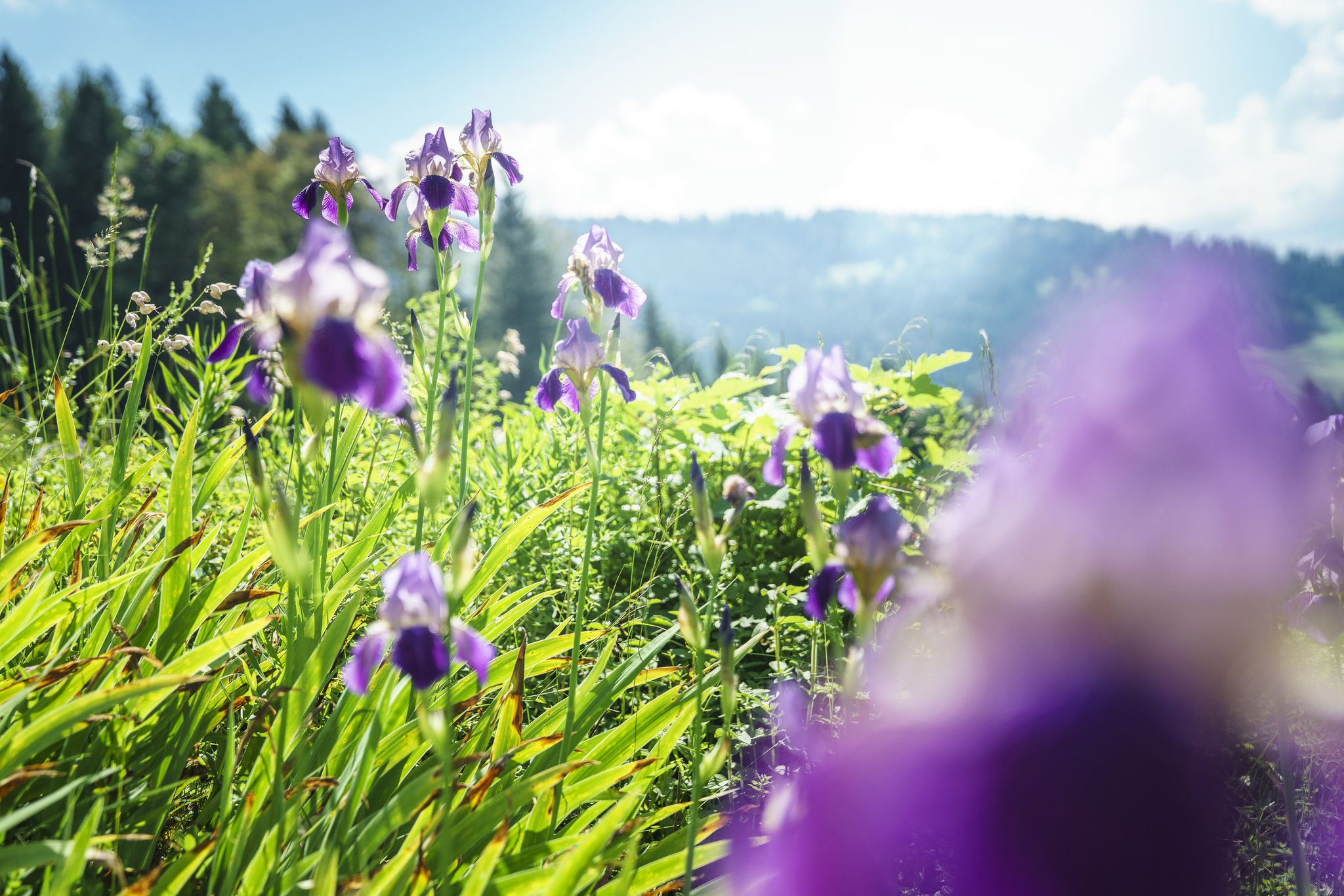
Between moors, meadows and glaciers – discover Vorarlberg's natural beauty
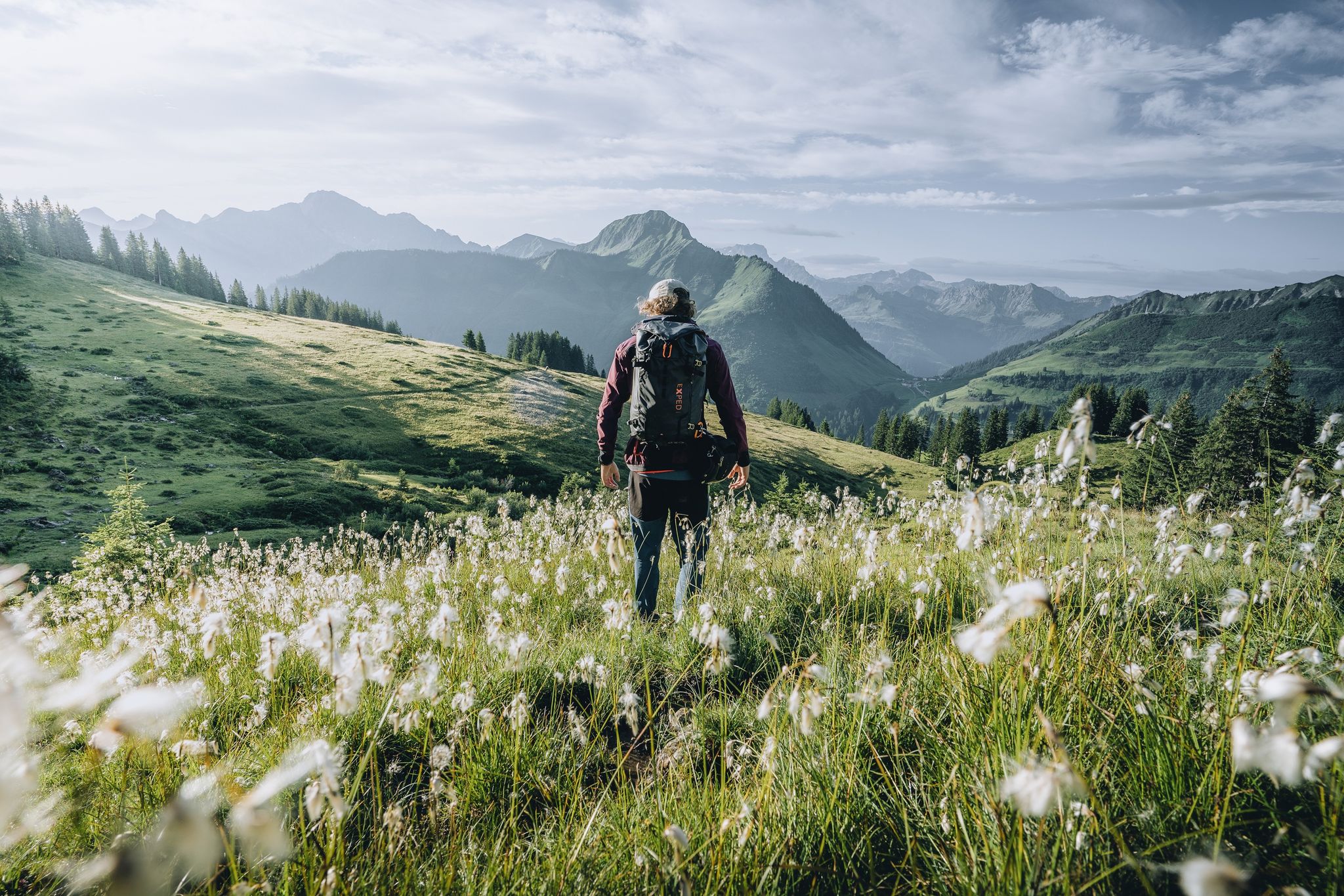
Pure joy on summit hikes in the Bregenzerwald
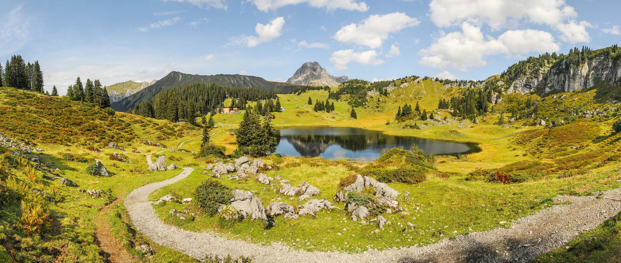
Gentle valleys & steep summits – hiking vacations in Vorarlberg
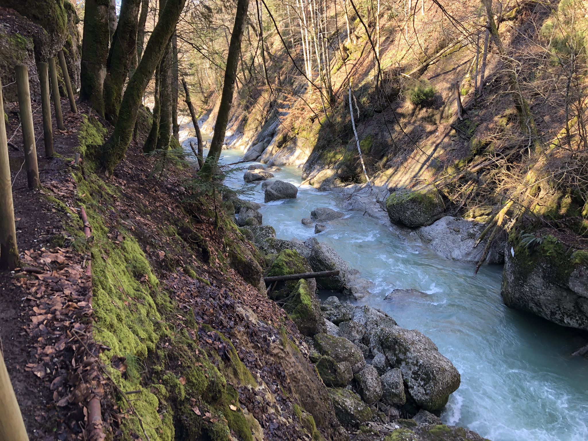
Die schönsten Wege zum Wasser im Bregenzerwald
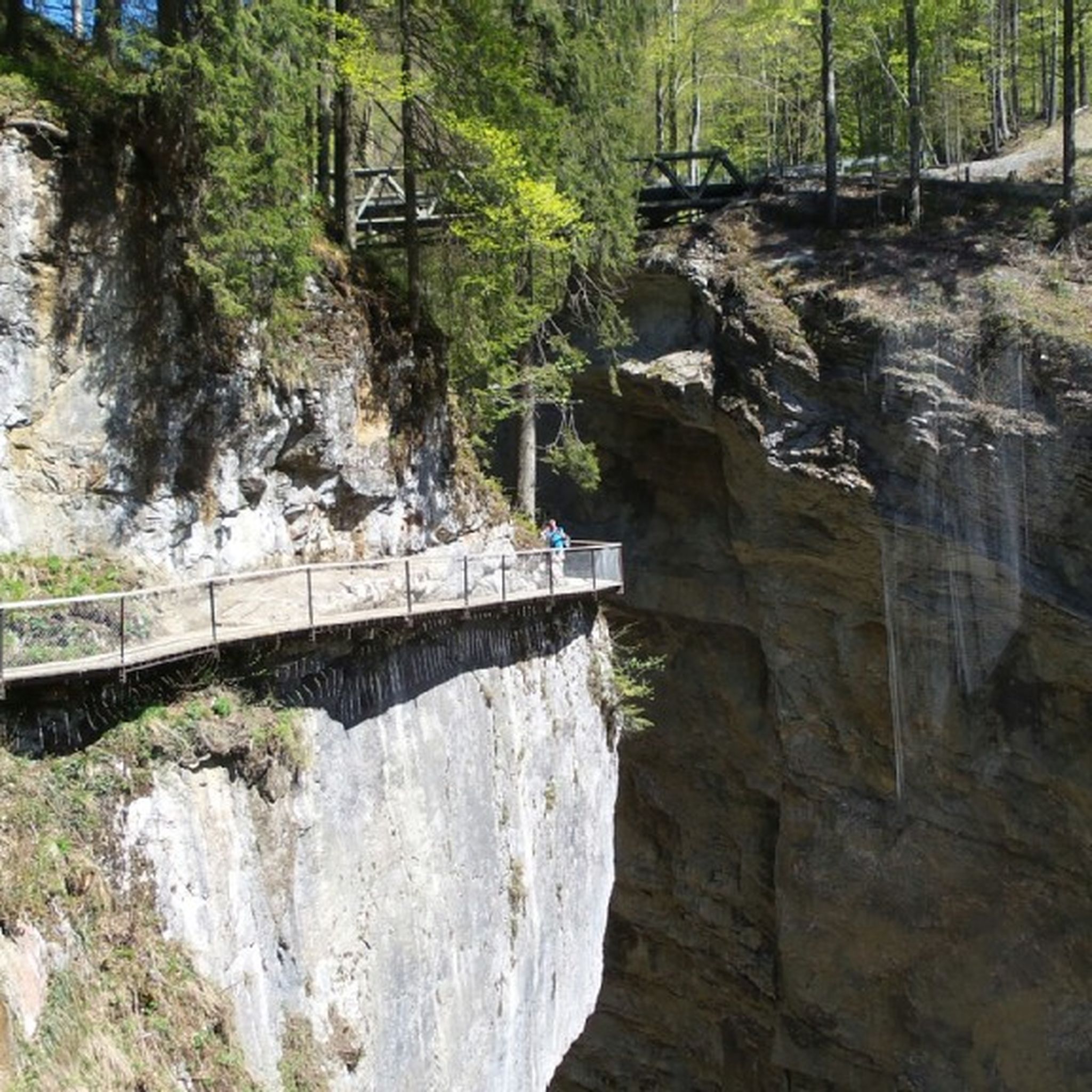
Hiking around Alberschwende
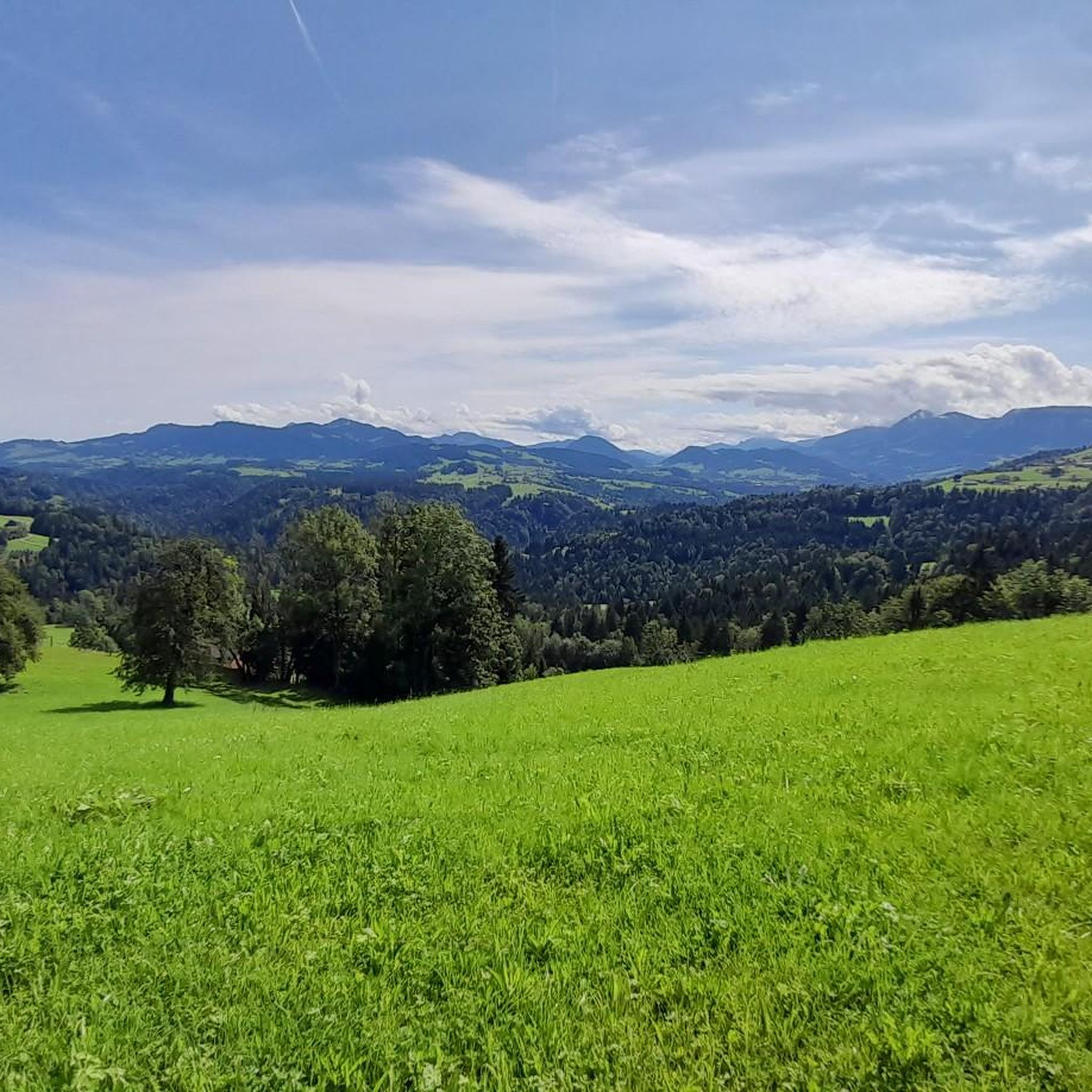
Road Cycling Routes around Alberschwende
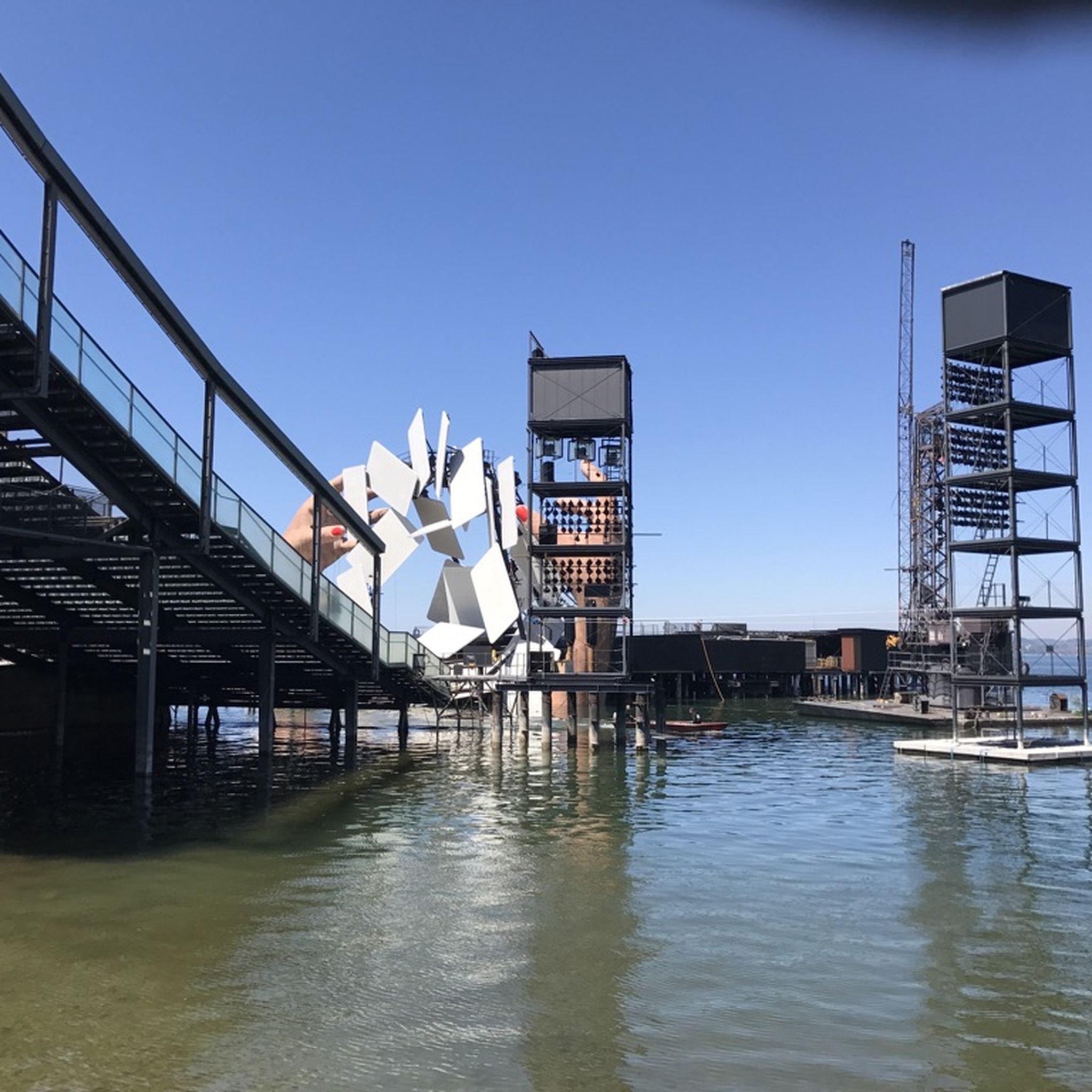
Cycling around Alberschwende
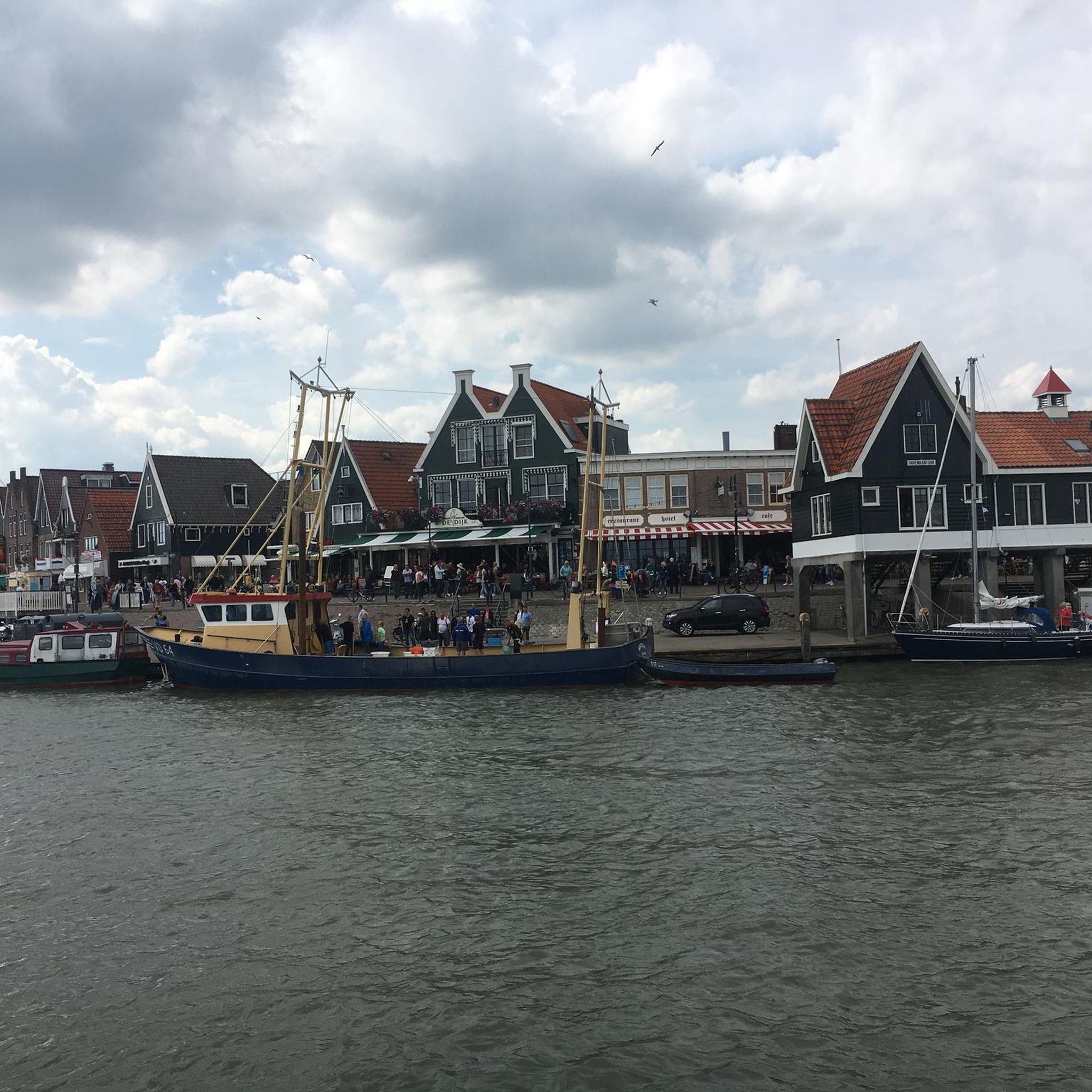
Gravel biking around Alberschwende
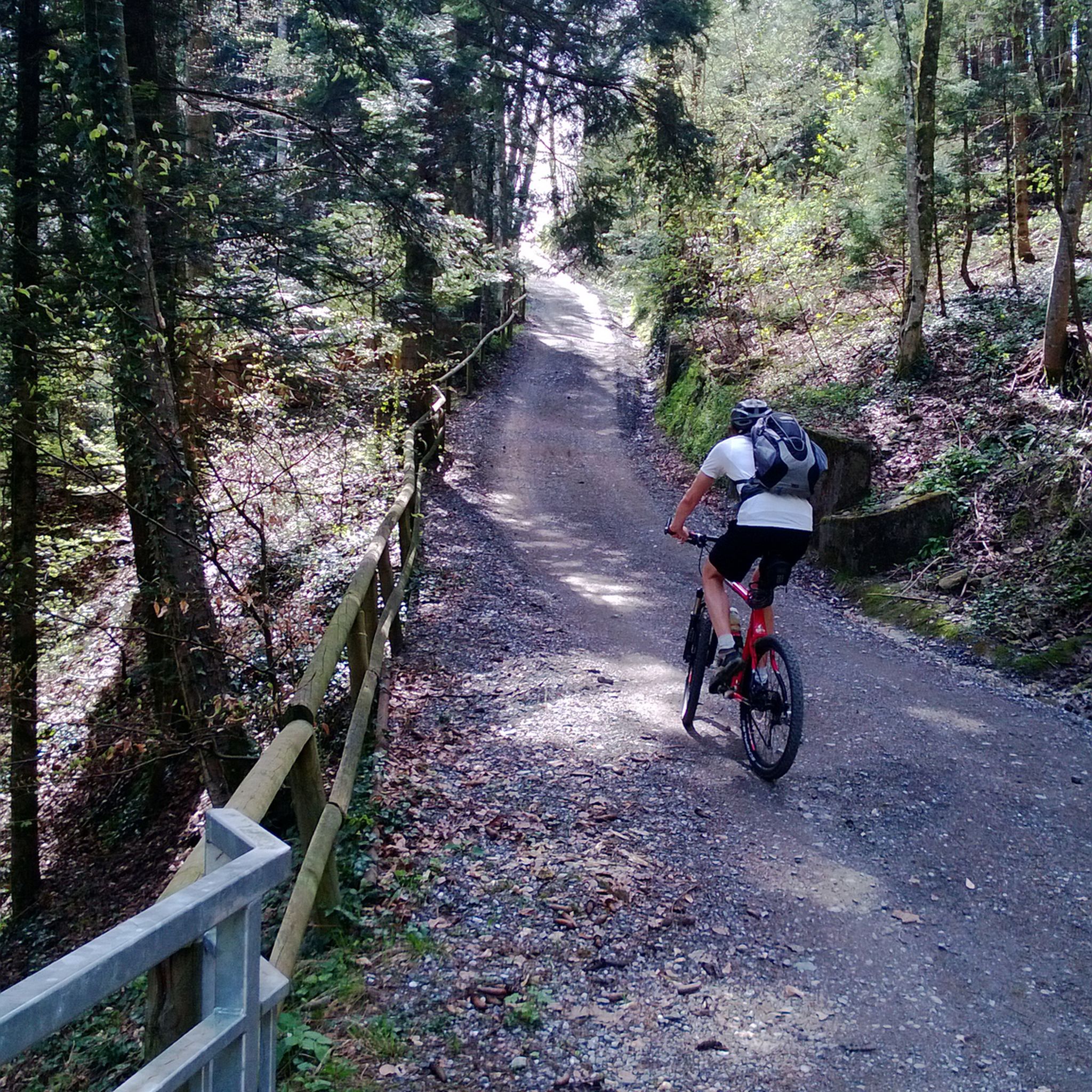
MTB Trails around Alberschwende
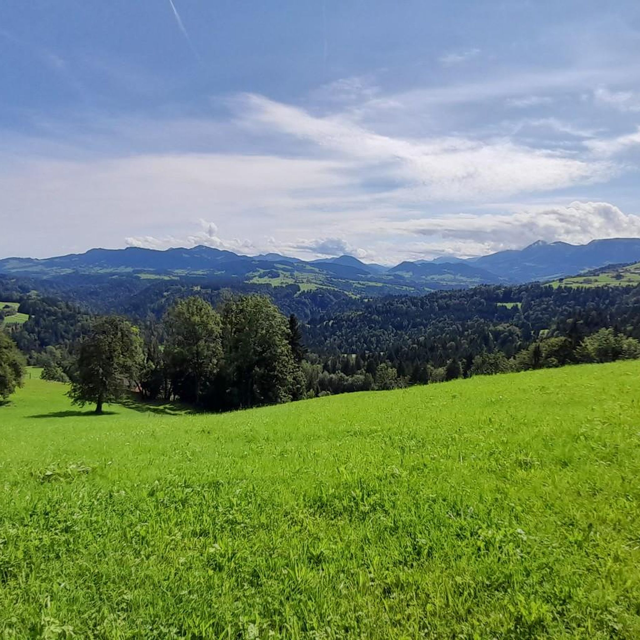
Running Trails around Alberschwende
Other adventures around Alberschwende


Tips from the Community

The Theodull Kapelle, a perfect place to slow down.
0
0


Very nice and friendly there
1
0

But it looks nice. Highly recommended.
2
0
Frequently Asked Questions
How many mountaineering routes are available around Alberschwende?
There are over 80 mountaineering routes around Alberschwende, offering a wide range of options for different skill levels. The komoot community has explored these routes over 1,400 times, giving them an average rating of 4.7 stars.
What types of mountaineering routes can I find in Alberschwende?
Alberschwende offers a diverse range of mountaineering routes. You'll find everything from moderate alpine hikes, such as the 9.2-mile Fohramoos Boardwalk – Hochälpelekopf loop from Fohramoos, to more challenging ascents like the 10.7-mile View from Häfen – View of Kanisfluh loop from Andelsbuch, which features significant elevation gain and panoramic views.
Are there any circular mountaineering routes in the area?
Yes, many routes around Alberschwende are circular. For example, the Hohe Kirche Summit Cross loop from Andelsbuch is a difficult 5.3-mile route that takes you to a summit cross. Another option is the moderate Brüggelekopf Summit Cross – Brüggelekopf Summit loop from Alberschwende, which offers rewarding views from the local mountain.
What are some notable natural attractions or viewpoints along the routes?
The region is rich in natural beauty and viewpoints. You can visit the impressive Fallbach Waterfall and explore the Fallbachtobel ravine. The Brüggelekopf summit offers panoramic views of the Bregenzerwald mountains, Lake Constance, and the Swiss Alps. Another prominent peak with magnificent summit views is Hochälpelekopf. The area is also part of the unique Nagelfluhkette Nature Park.
Are there any family-friendly mountaineering options in Alberschwende?
While many mountaineering routes require good fitness and alpine experience, Alberschwende also offers easier trails suitable for families. The region's diverse terrain includes gentle walks through meadows and forests. For specific family-friendly options, it's best to filter routes by 'easy' difficulty on komoot, as there are 2 such routes available.
Can I bring my dog on the mountaineering routes?
Many trails in the Alberschwende region are dog-friendly, allowing you to enjoy the alpine scenery with your canine companion. However, it's always advisable to check specific route details and local regulations, especially in nature protection areas or near grazing livestock, to ensure a safe and enjoyable experience for everyone.
What is the best time of year for mountaineering in Alberschwende?
The best time for mountaineering in Alberschwende is typically from late spring to early autumn (May to October), when the weather is generally stable and trails are clear of snow. During winter, the region transforms into a snowy landscape, offering opportunities for snowshoeing in the numerous ravines, but traditional mountaineering routes may be inaccessible or require specialized winter equipment and experience.
Are there places to eat or stay near the mountaineering routes?
Yes, Alberschwende and the surrounding Bregenzerwald region offer various amenities. You'll find cafes and restaurants in the villages. For accommodation, there are options ranging from guesthouses to hotels. Some routes also pass by huts like the Lustenauer Hut or Alpe Weißenfluh, which can provide refreshments or overnight stays.
How can I reach the trailheads using public transport?
Alberschwende is generally accessible by public transport, with bus connections serving the village. From there, some trailheads might be within walking distance or accessible via local bus services. For specific routes, it's recommended to check local bus schedules and connections to the starting points, such as those near Andelsbuch or Fohramoos, which are common starting points for tours like the Hohe Kirche Summit Cross – View from Häfen loop from Andelsbuch.
Where can I find parking for the mountaineering routes?
Parking is available at various trailheads around Alberschwende. For instance, there's a designated parking area at Schuttannen Parking and Trailhead. Many routes starting from villages like Alberschwende or Andelsbuch will have public parking facilities nearby. Always look for marked parking spaces and adhere to local regulations.
What makes mountaineering in Alberschwende unique?
Mountaineering in Alberschwende is unique due to its setting within the picturesque Bregenzerwald region, characterized by wide meadows, dense forests, and the distinctive conglomerate rock formations of the Nagelfluhkette Nature Park. The high plateau is also crisscrossed by numerous brooks forming countless ravines, offering varied and scenic terrain for exploration.
Most popular routes around Alberschwende
Most popular attractions around Alberschwende

Get inspired with the komoot mobile app


Explore more
Browse the best Mountain Hikes & Routes in other regions.
