The best road cycling routes around Brookfield
4.0
(1)
73
riders
19
rides
Road cycling routes around Brookfield offer diverse landscapes, from extensive trail systems to scenic natural features. The region features areas with comprehensive off-street systems connecting parks and linking to regional networks, often following environmental corridors. Cyclists can explore routes near rivers like the Menomonee River or Salt Creek, and through various parks and forest preserves. These areas provide a mix of paved surfaces and varied terrain suitable for different fitness levels.
Best road cycling routes around Brookfield
- The most popular…
Last updated: June 29, 2026
118km
05:19
870m
870m
This difficult 73.3-mile (118.0 km) road cycling loop from Blacklion offers a challenging ride through the scenic Cuilcagh Lakelands Geopark
4.0
(1)
16
riders
85.6km
03:58
600m
600m
Moderate road ride. Good fitness required. Some segments of this route may be unpaved and difficult to ride.

Sign up for free
10
riders
39.4km
01:43
190m
190m
Moderate road ride. Great for any fitness level. Some segments of this route may be unpaved and difficult to ride.
9
riders
54.1km
02:24
560m
560m
Moderate road ride. Good fitness required. Mostly well-paved surfaces and easy to ride.
9
riders
45.2km
02:26
500m
500m
Moderate road ride. Good fitness required. Some segments of this route may be unpaved and difficult to ride.
Get access to more routes and recommendations from other explorers.
Sign up for free
Already have an account?
Our route recommendations are based on thousands of hikes, rides, and runs completed by other people on komoot.
Start today with a free account
Your next adventure awaits.
Login or Signup

Tips from the Community

Quiet, open part of Donegal Bay where the Breedoge River flows into the sea. Wide horizon, tidal flats and views of Bundoran make this a subtle but atmospheric landscape moment between Tullaghan and the Donegal coast.
3
0

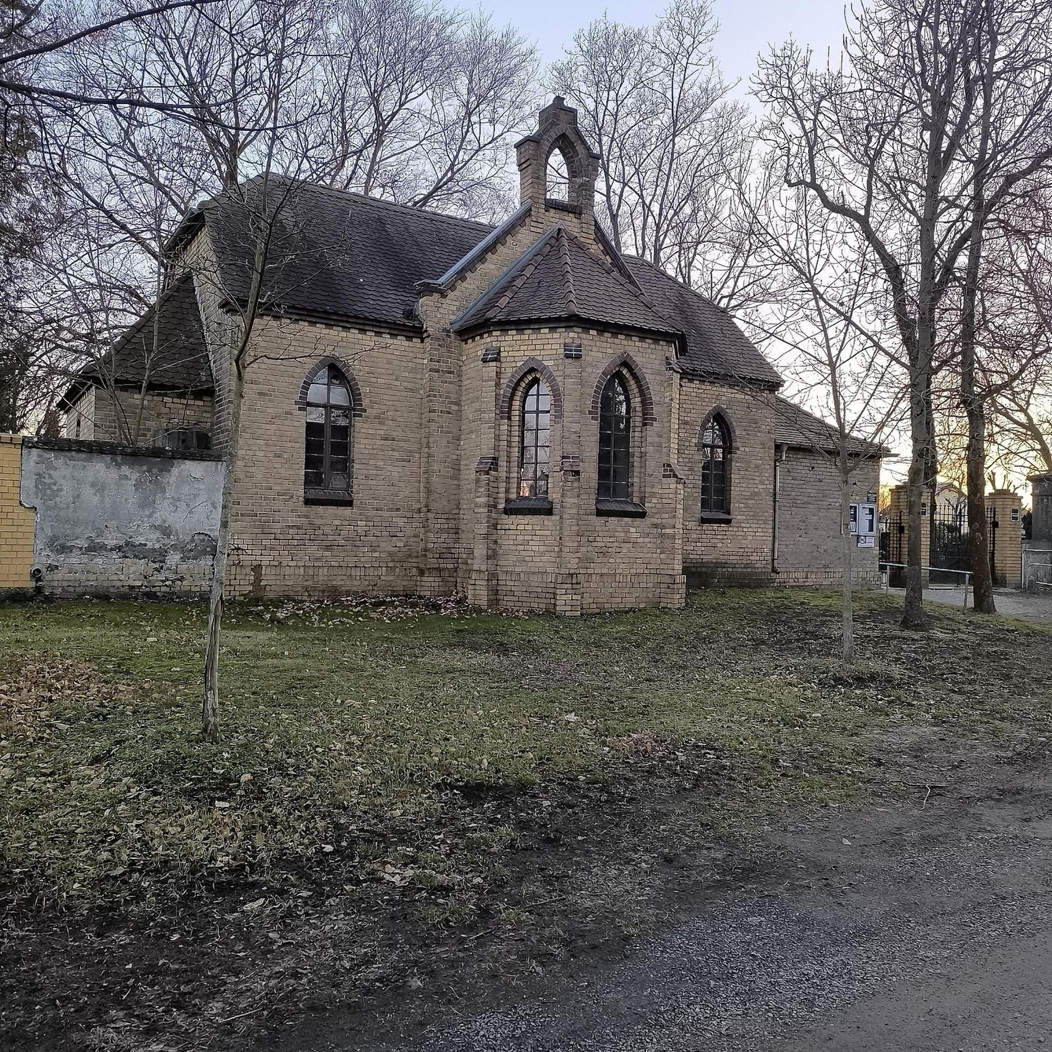
The castle now houses the Fermanagh County Museum, which focuses on the history, culture and natural history of the county.
0
0

Would not regard the Sligo Road from Enniskillen to Belcoo as a cycle friendly road. Extremely poor surface for considerable stretches, very bendy in places too. I live in Enniskillen; have cycled it but would avoid it if at all possible. Cycling via Five Points , on Swanlinbar Road; then via old rail line from old Letterbreen railway station towards Lough MacNean ; or take road from Five Points towards Gortatole is a far more pleasant and safer option.
2
0

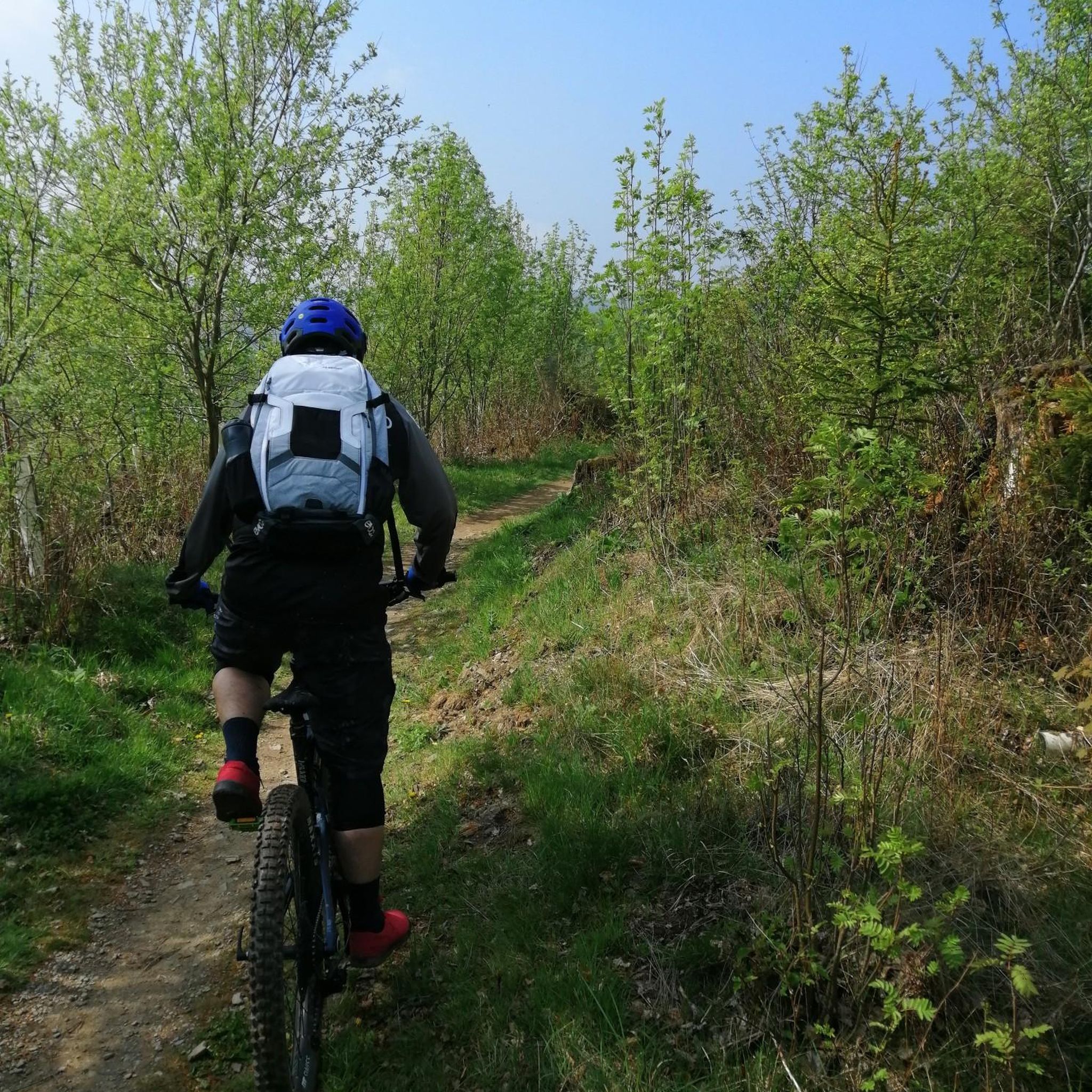
Heading out towards Annagh loop, along the Ballyconnell canal you can enjoy the quite river landscape on mixed towpath and singletrack terrain.
0
0

The magnificent Enniskillen Castle is situated in the heart of Enniskillen on the banks of the River Erne. The castle was founded in the 15th century by Hugh 'The Hospitable' Maguire and belonged to the Maguire family for centuries. Between 2007 and 2013 a massive refurbishment took place so that the castle could be opened to the public. Today you can explore the castle grounds and learn about this landmarks rich history.
1
0

The canal is 63km long in total and links the River Shannon and the River Erne. It began life as the Ballinamore-Ballyconnell canal in 1846 and after falling into disrepair with the decline in industry, it was refurbished as a leisure canal from the 1960s.
0
0
The canal is 63km long in total and links the River Shannon and the River Erne. It began life as the Ballinamore-Ballyconnell canal in 1846 and after falling into disrepair after the decline in industry was refurbished as a leisure canal from the 1960s.
2
0

Ideal starting point for the hike to the Stairway to Heaven, there are a total of 3 parking spaces available. Some spaces are reserved for larger vehicles/motorhomes; the steward will direct you when reversing. Parking fee of 5 GBP or 6 Euros must be paid in cash to the steward.
2
0
Frequently Asked Questions
How many road cycling routes are available around Brookfield?
There are nearly 20 road cycling routes around Brookfield, offering a variety of experiences for different skill levels. You'll find options ranging from easy to difficult, with the majority being moderate.
What kind of terrain and elevation can I expect on road cycling routes in Brookfield?
Road cycling routes around Brookfield feature diverse terrain, from extensive trail systems and river views to varied park landscapes. You can expect mostly well-paved surfaces. Elevation gains vary significantly; for example, the Bundoran to Lower Lough Erne loop from Blacklion, a difficult route, includes over 2,800 feet of elevation gain, while easier routes have much less.
Are there any family-friendly road cycling routes in Brookfield?
Yes, Brookfield offers several family-friendly options. The Greenway Trail System in Brookfield, WI, provides a comprehensive off-street network connecting parks, and the paved, mile-long multi-use trail around Fox Brook Park is ideal for leisurely rides. In Brookfield, IL, the Salt Creek Greenway Trail and the Centennial Trail also offer relaxing rides through green landscapes suitable for families.
What are some scenic viewpoints or natural features I can see while road cycling?
Road cycling around Brookfield offers numerous scenic views. In Wisconsin, you can enjoy the Menomonee River, Fox Brook Park with its quarry lake and wetlands, and routes extending to Lakeshore State Park along Lake Michigan. In Illinois, the Salt Creek Greenway Trail winds through nature and forest preserves, and routes may pass through Waterfall Glen Forest Preserve or offer views of Saganashkee Slough, known for birdwatching.
Are there any circular road cycling routes in the Brookfield area?
Yes, many routes around Brookfield are designed as loops. For instance, the Lough Adorn – Drumlonan lough loop from Drumlaghy and the Florence Court – Florence Court loop from Drumlaghy are popular circular options, allowing you to start and end at the same point.
What are some interesting landmarks or attractions near the cycling routes?
While cycling, you can explore several interesting landmarks and natural attractions. Consider visiting the Cuilcagh Boardwalk Trail (Stairway to Heaven), the historical Giant's Grave & Giant's Cave, or the serene Florence Court forest. For natural wonders, the Cladagh Glen Waterfall is also accessible.
What is the best time of year for road cycling in Brookfield?
June and July are particularly popular months for road cyclists in Brookfield, offering pleasant weather for exploring the routes. However, the extensive trail networks and varied landscapes can be enjoyed throughout the warmer seasons.
Where can I find parking for road cycling trails in Brookfield?
Many parks and trailheads in Brookfield offer dedicated parking. For example, Fox Brook Park in Brookfield, WI, provides parking for its multi-use trail. In Brookfield, IL, access points to the Salt Creek Greenway Trail often have nearby parking. For specific routes, check the individual tour details on komoot for trailhead information.
Are there any challenging road cycling routes for experienced riders?
Yes, Brookfield offers routes for experienced riders seeking a challenge. The Bundoran to Lower Lough Erne loop from Blacklion is classified as difficult, covering over 73 miles with significant elevation gain. Other routes, like the Marlbank Viewpoint – Crannog Island loop from Arney, offer moderate challenges with substantial climbs.
What do other road cyclists say about the routes in Brookfield?
The road cycling routes in Brookfield are highly regarded by the komoot community, with an average score of 4.0 stars. Over 70 road cyclists have used komoot to explore the area, often praising the diverse terrain and well-maintained paths.
Are there any routes that pass by rivers or lakes?
Absolutely. Many routes in Brookfield offer beautiful views of waterways. In Wisconsin, you can cycle along the Menomonee River or around the 22-acre quarry lake at Fox Brook Park. In Illinois, the Salt Creek Greenway Trail follows Salt Creek, and some routes provide views of Saganashkee Slough.
Can I find cafes or pubs near the road cycling trails?
While specific cafes and pubs are not detailed for every trailhead, both Brookfield, WI, and Brookfield, IL, are established communities with amenities. Many routes connect to or pass through areas where you can find local establishments to refuel. It's always a good idea to check local listings for options along your chosen route.
What is the longest road cycling route available?
The longest road cycling route around Brookfield is the Bundoran to Lower Lough Erne loop from Blacklion, which spans 73.3 miles (117.9 km) and typically takes around 5 hours and 18 minutes to complete.
Most popular attractions around Brookfield

Get inspired with the komoot mobile app


Explore more
Browse the best Road cycling routes in other regions.
