The best mountain hikes around Enzesfeld-Lindabrunn
4.3
(17)
164
hikers
21
hikes
Mountaineering routes around Enzesfeld-Lindabrunn traverse a landscape characterized by rolling hills and extensive wooded areas, forming part of the scenic Vienna Woods. The region offers diverse terrain with elevation gains up to 3,000 feet (900 meters), providing challenging treks. The area features numerous demanding routes through natural reserves and past historical ruins, with the Triesting River adding to the natural beauty.
Best mountaineering routes around Enzesfeld-Lindabrunn
- The most popular mountaineering route is Piestinger Cross – Drobilsteig loop from Dreistetten,…
Last updated: October 5, 2026
3.7
(3)
29
hikers
5.94km
02:16
330m
330m
Hard mountaineering route. Good fitness required. Sure-footedness, sturdy shoes and alpine experience required.
5.0
(2)
17
hikers
10.8km
03:37
410m
410m
Hard mountaineering route. Good fitness required. Sure-footedness, sturdy shoes and alpine experience required.

6
hikers
Moderate mountaineering route. Good fitness required. Mostly accessible paths. Sure-footedness required.
3.0
(1)
5
hikers
3.57km
01:04
100m
100m
Moderate mountaineering route. Great for any fitness level. Mostly accessible paths. Sure-footedness required.
5.0
(1)
9
hikers
8.73km
03:10
370m
370m
Hard mountaineering route. Good fitness required. Sure-footedness, sturdy shoes and alpine experience required.
Get access to more routes and recommendations from other explorers.
Already have an account?
Our route recommendations are based on thousands of hikes, rides, and runs completed by other people on komoot.
Start today with a free account
Your next adventure awaits.
Tips from the Community

The Merkenstein Cave is a cave protected as a natural monument, located directly below the Merkenstein castle ruins near Bad Vöslau in Lower Austria. It extends about 72 meters deep into the castle rock and has a culturally and historically significant connection to the fortress above: a vertical shaft connected the cave directly to the castle kitchen in the Middle Ages, where it was used as a waste chute. Archaeological excavations here have brought to light Ice Age animal bones from cave bears, as well as human tools from the Neolithic, Bronze Age, and Roman Imperial periods. In times of crisis, such as the Second Siege of Vienna in 1683, the cave served as a refuge for the population. To protect the monument and the bats that overwinter there, the entrance is closed with a grate; entry is only possible as part of officially offered guided tours by the municipality of Bad Vöslau, by prior arrangement.
0
0

This simple circular hike takes you from Dreistetten through a beech mixed forest, via ascending serpentines, to Hohe Wand and the Herrgottschnitzerhaus. The rustic hut is located at 826m above sea level on the eastern edge of Hohe Wand and offers a wonderful viewpoint and resting place.
2
0
The cave was discovered in 1927 by Otto Langer sen. and opened as a show cave in 1930. During World War II, the cave served as a place of refuge. In 1958, it was accessible again as a show cave. In 1964, the installations were modernized by Otto Langer jun.
1
0
Münch-Bellinghausen was interred in a crypt under the chapel, which was, however, plundered during the time of the Russian occupation. Through inheritance, the castle came into the possession of Adolph Freiherr Brenner von Felsach. From him, the castle was inherited by his son Joachim Brenner von Felsach, who, however, had to sell it in 1912. Further owners were the sawmill operator Leopold Kern and the industrialist Arthur Krupp from Berndorf.
1
0
Until 1322, the Merkensteiners resided in the castle until they had to pass it on. The next important castle owners were the Wallseers, who held Burg Merkenstein (also known as Merchenstein or Marchinstein) for a good 100 years, until they had to pass the castle on to Stephan von Hohenberg in 1440 for financial and family reasons. The Hohenbergers ruled over Merkenstein until 1484. The castle was once the scene of an imperial siege.
2
0

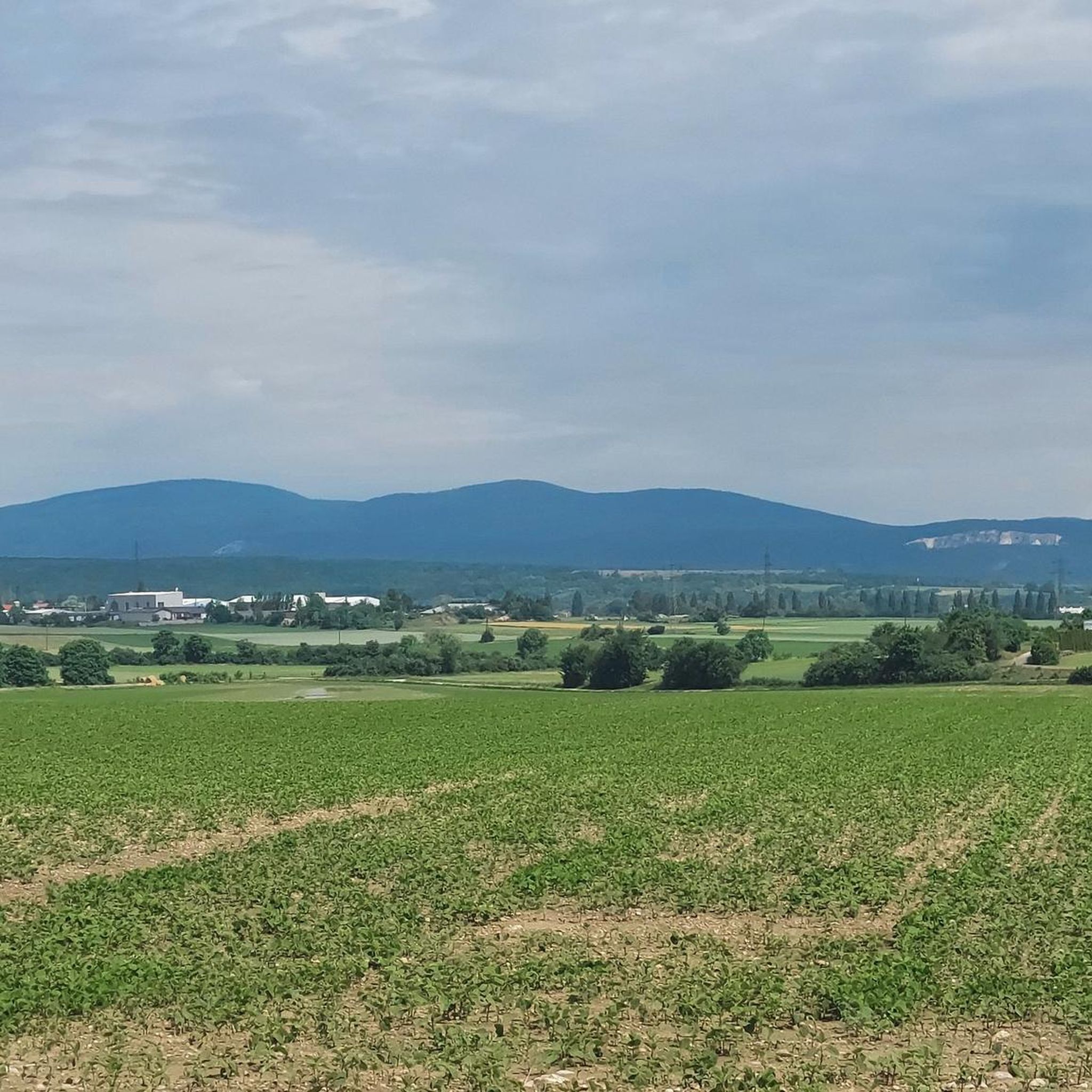
Here you get a very beautiful view in the direction of Vienna.
0
0

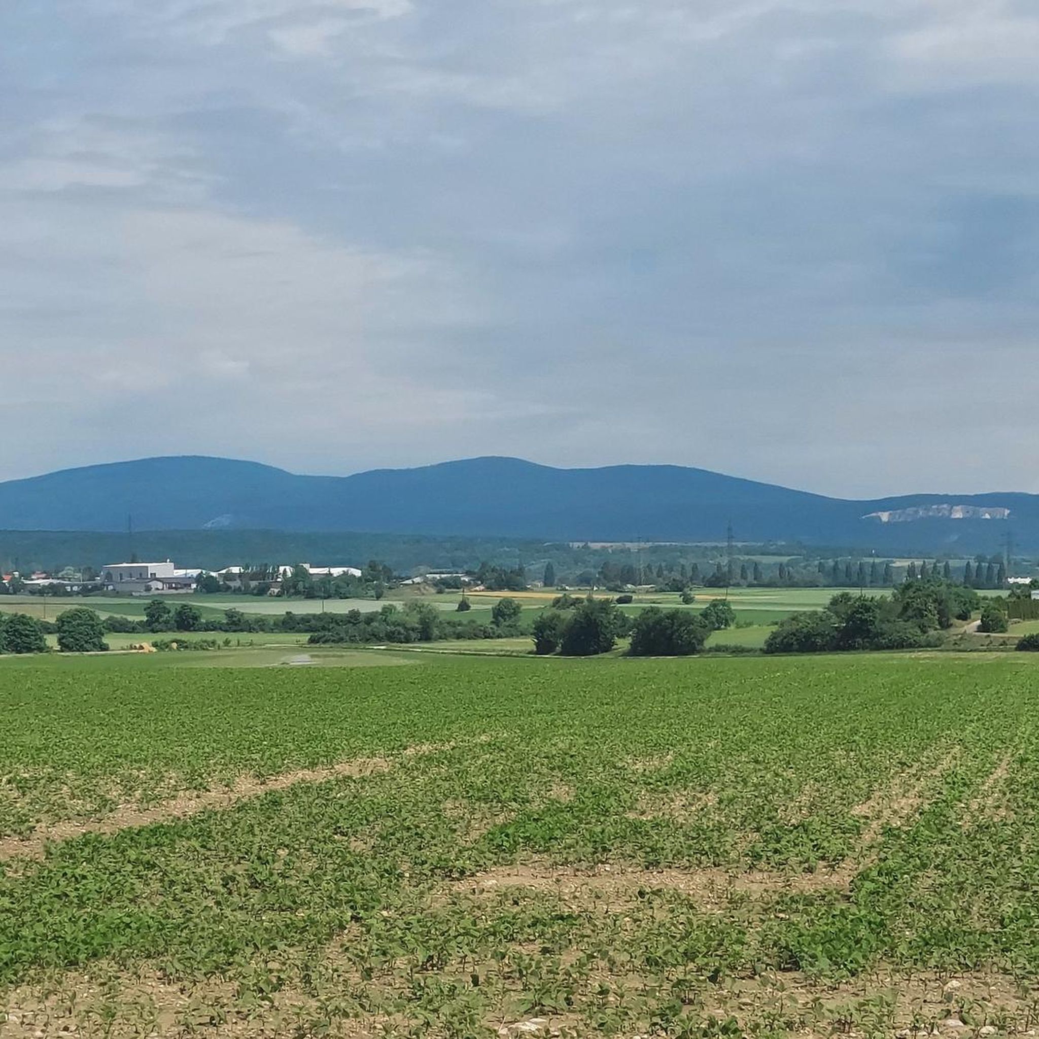
The Iron Gate is the striking summit of the Hoher Lindkogel (836 m) and a popular destination in the Vienna Woods. At the top, you'll enjoy sweeping views over the Vienna Basin and the Alpine foothills, as well as the nearby Sina Lookout. A classic hiking destination that ideally combines nature, history, and panoramic views.
1
0
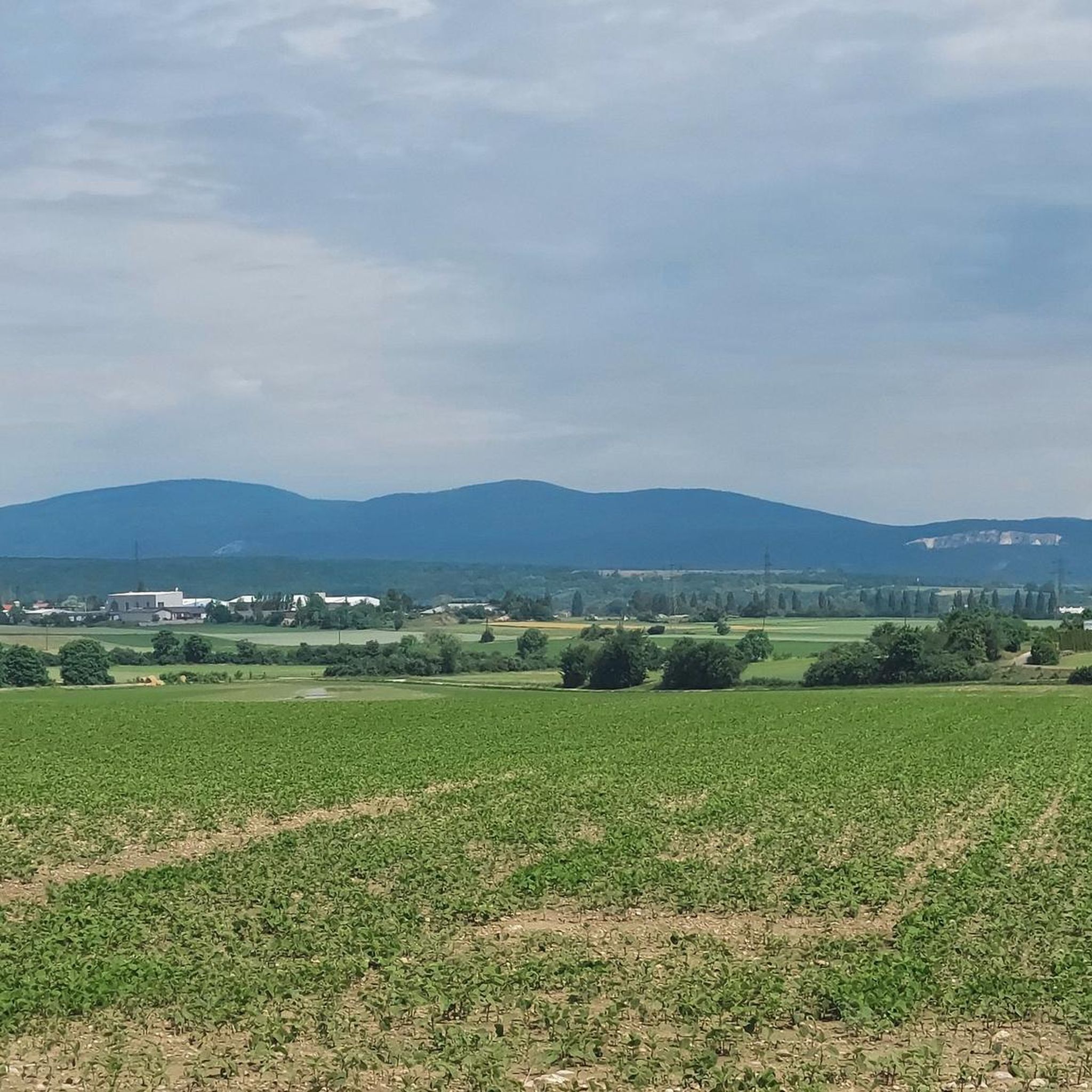
The Sina-Warte (Sina Lookout) stands atop the Hoher Lindkogel (834 m) in the Vienna Woods and is one of the region's most famous observation towers. From its platform, visitors can enjoy impressive panoramic views of the Vienna Basin, the foothills of the Alps, and, on a clear day, all the way to Vienna. Built in the 19th century, the tower commemorates Countess Sina and is a worthwhile destination for hikers and view lovers.
3
0
Frequently Asked Questions
How many mountaineering routes can I find around Enzesfeld-Lindabrunn?
There are over 20 mountaineering routes available around Enzesfeld-Lindabrunn, offering a range of experiences from moderate to difficult. The region's landscape, part of the Vienna Woods, features rolling hills and extensive wooded areas with significant elevation gains.
What is the general difficulty level of mountaineering routes in this region?
The mountaineering routes around Enzesfeld-Lindabrunn are predominantly moderate to difficult. Out of the available routes, 11 are rated as moderate and 12 as difficult, with only one easy route. This indicates a focus on more challenging treks with significant elevation changes, catering to experienced mountaineers.
Are there any family-friendly mountaineering routes suitable for beginners?
While many routes are moderate to difficult, there is one easy mountaineering route available. For families or beginners seeking a less strenuous option, the region also offers numerous well-marked hiking trails that are suitable for various fitness levels, particularly in the Vienna Woods.
What kind of natural features and attractions can I expect to see along the mountaineering routes?
Mountaineering routes in Enzesfeld-Lindabrunn often lead through dense woodlands, past historical ruins, and offer breathtaking viewpoints. You might encounter features like the Wilder Ofen Cave or explore areas around the Einhornhöhle (Unicorn Cave). The region also features the Triesting River and scenic vineyards, especially along the thermal cycle path.
Are there any circular mountaineering routes in the area?
Yes, several mountaineering routes in the region are circular. For example, you can explore the Piestinger Cross – Drobilsteig loop from Dreistetten, or the Ruins of Merkenstein Castle – Iron Gate Mountain Hut loop from Katastralgemeinde Gainfarn. Another option is the Einhornhöhle (Unicorn Cave) – Philosopher's Bench loop from Dreistetten.
What is the best time of year for mountaineering around Enzesfeld-Lindabrunn?
The best seasons for mountaineering in Enzesfeld-Lindabrunn are typically spring and autumn. During these times, the climate is mild, and nature is vibrant, offering ideal conditions for exploring the diverse landscapes and enjoying the scenic views.
Are there opportunities for more advanced or technical mountaineering challenges nearby?
Yes, while Enzesfeld-Lindabrunn offers extensive hiking, its proximity to areas like the Hohe Wand and the Hohe Lindkogel provides access to more demanding mountain tours. The Hohe Wand, for instance, features the 'Währinger- und Ganghofer Klettersteig' (via ferrata) of medium difficulty, and the Hohe Lindkogel (Iron Gate) offers climbs with an almost alpine character through narrow gorges and trails like the Brennersteig.
What do other mountaineers enjoy most about the routes in Enzesfeld-Lindabrunn?
The mountaineering routes in Enzesfeld-Lindabrunn are highly rated by the komoot community, with an average score of 4.3 stars. Mountaineers often praise the varied terrain, the challenging elevation gains, and the opportunity to explore dense woodlands and historical sites like the Ruins of Merkenstein Castle.
Are there any specific points of interest or landmarks to look out for?
Beyond the routes themselves, the region offers several notable points of interest. You might consider a detour to the Hernstein Castle, or explore the mystical stone sculpture park at the Lindabrunn Symposium Site. The historic Lindabrunn Ruins, dating back to the 12th century, are also worth a visit during your treks.
Are there any cafes or places to eat near the mountaineering trails?
The region around Enzesfeld-Lindabrunn, particularly along the thermal cycle path and in nearby villages, offers opportunities to find local eateries, Gasthäuser, and cafes. While specific establishments directly on every trail are not guaranteed, you can often find options in the towns and villages that serve as starting points or are passed through by the routes.
Can I access the mountaineering routes using public transport?
Enzesfeld-Lindabrunn is situated at the 'gateway to the Triestingtal' and has connections that allow for public transport access. While specific route starting points may vary in their proximity to public transport stops, it is generally possible to reach the region and some trailheads using local bus or train services. It's advisable to check local transport schedules for specific route access.
Are there any hidden gem mountaineering routes or less-known trails?
For those seeking a unique experience, the region's proximity to the Hohe Lindkogel, also known as the Iron Gate, offers romantic routes through narrow gorges and trails like the Brennersteig, which can be quite strenuous and less frequented than the main trails. These areas provide an almost alpine character for a more secluded mountaineering adventure.
Most popular routes around Enzesfeld-Lindabrunn
Most popular attractions around Enzesfeld-Lindabrunn

Get inspired with the komoot mobile app


Explore more
Browse the best Mountain Hikes & Routes in other regions.
