The best running trails around Steinerkirchen an der Traun
213
runners
34
runs
Jogging around Steinerkirchen an der Traun offers a variety of routes through its picturesque landscapes. The region features rolling hills, lush meadows, and the scenic Traun and Alm Rivers, providing diverse natural settings for running. Trails often pass through areas like the Alm-Auen Nature Preserve, known for its valuable vegetation. The network of jogging routes includes options ranging from easy paths along riverbanks to more challenging trails with moderate elevation changes.
Best jogging routes around Steinerkirchen an der Traun
- The…
Last updated: July 5, 2026
13
runners
6.49km
00:40
30m
30m
Moderate run. Good fitness required. Mostly paved surfaces. Suitable for all skill levels.
15
runners
4.53km
00:28
20m
20m
Easy run. Great for any fitness level. Mostly paved surfaces. Suitable for all skill levels.

Sign up for free
11
runners
14.9km
01:34
80m
80m
Moderate run. Good fitness required. Mostly paved surfaces. Suitable for all skill levels.
6
runners
15.2km
01:40
120m
120m
Hard run. Very good fitness required. Mostly paved surfaces. Suitable for all skill levels.
7
runners
4.80km
00:30
60m
60m
Easy run. Great for any fitness level. Mostly paved surfaces. Suitable for all skill levels.
Get access to more routes and recommendations from other explorers.
Sign up for free
Already have an account?
Our route recommendations are based on thousands of hikes, rides, and runs completed by other people on komoot.
Start today with a free account
Your next adventure awaits.
Login or Signup
Popular around Steinerkirchen an der Traun
Other adventures around Steinerkirchen an der Traun

Tips from the Community


The late Gothic church in Steinerkirchen is dedicated to Saint Martin and is a listed building. A small chapel is built on the south-facing facade.
1
0

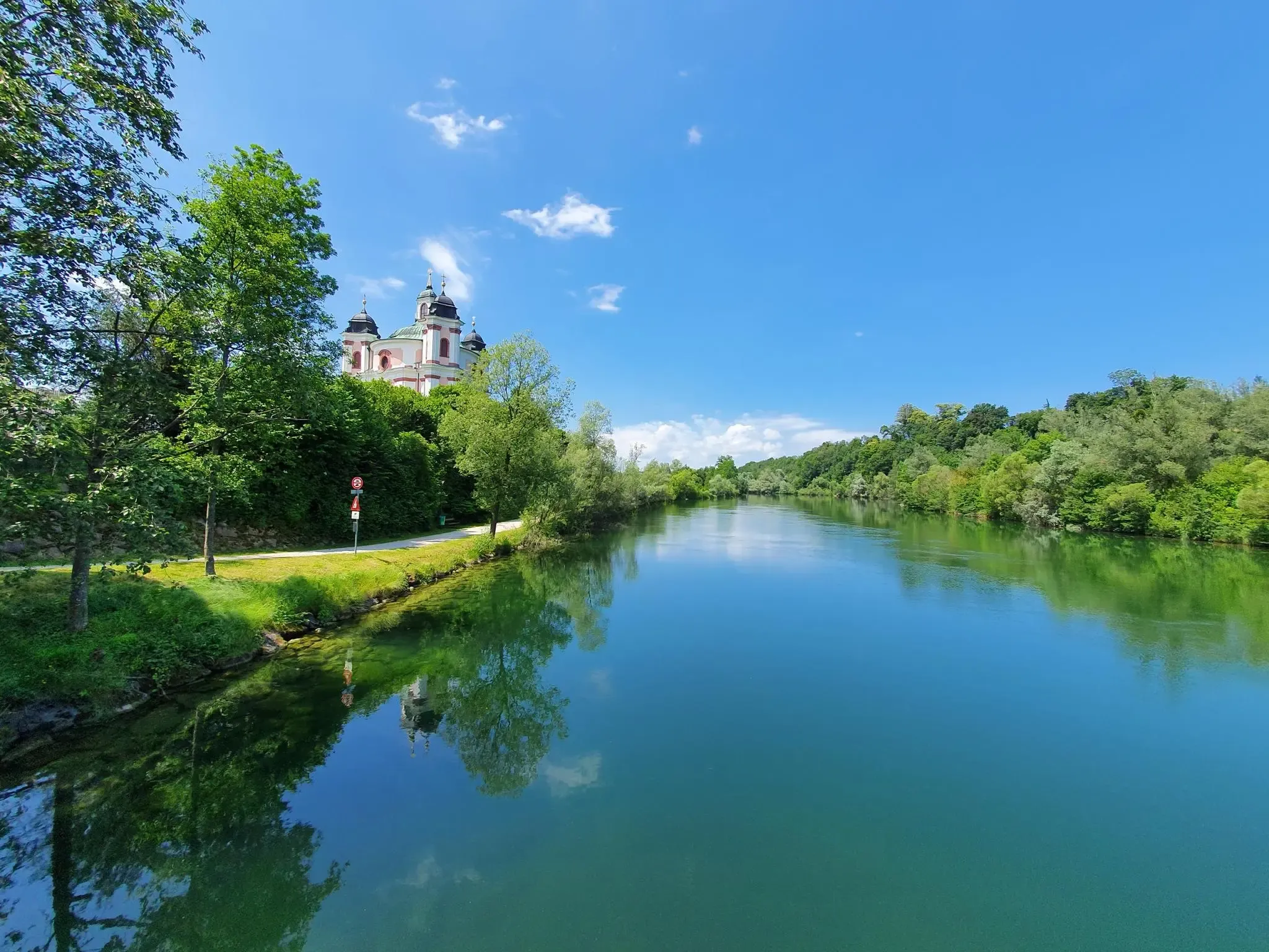
This is a beautiful church in the municipality of Fischlham in Upper Austria. The church is dedicated to Saint Peter and belongs to the Kremsmünster Abbey. The church has a Gothic architecture with baroque elements, such as the onion dome of the tower or the pulpit as St. Peter's ship.
1
0

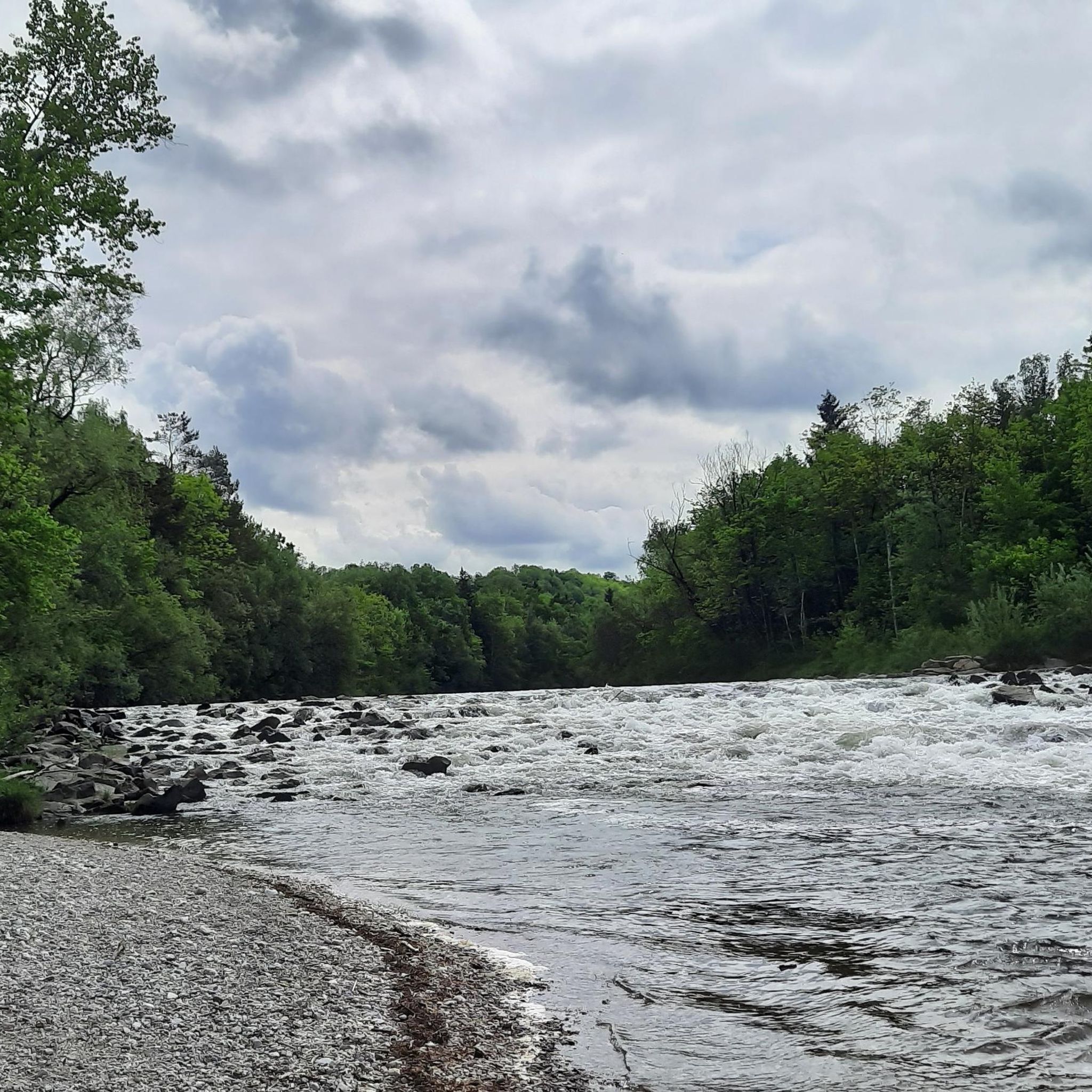
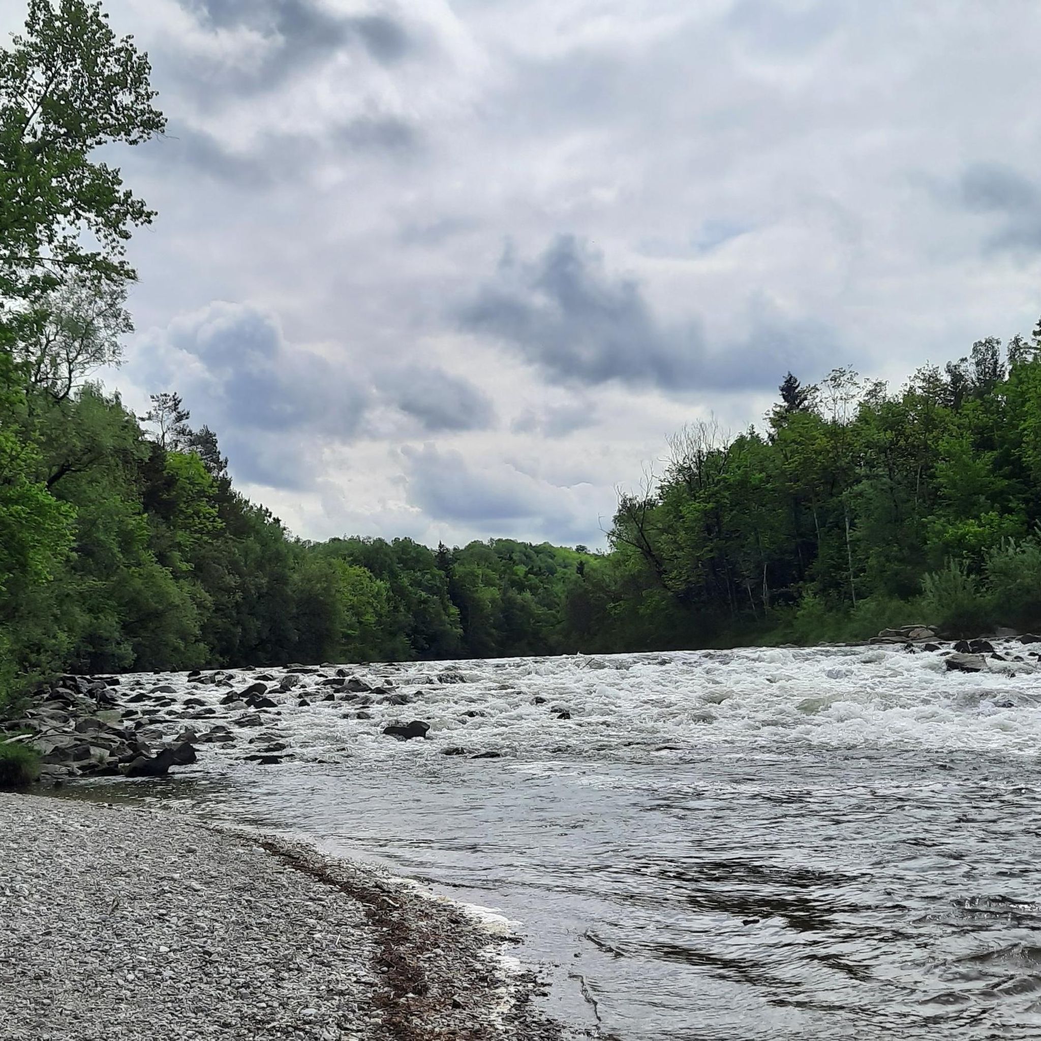
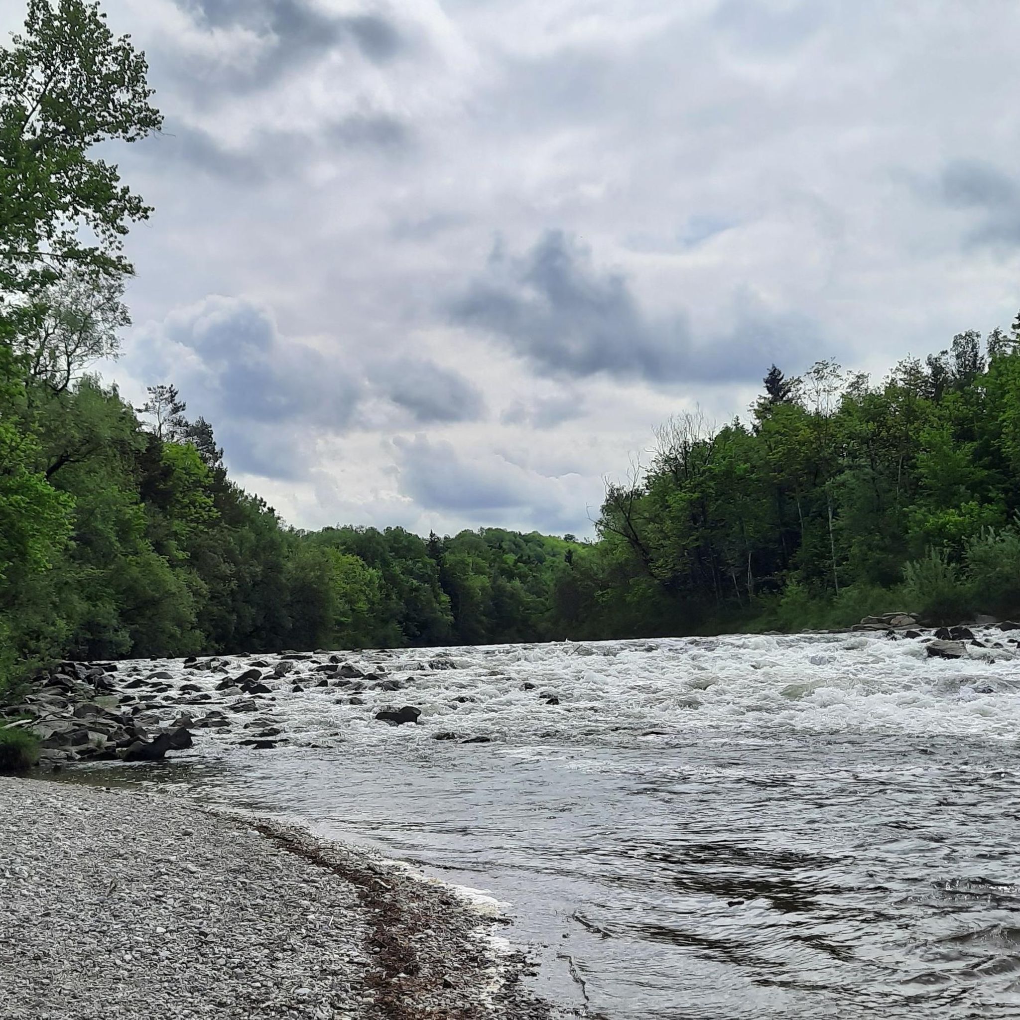
The drought is clearly visible at the level of the Alm (current photo)
0
1
Beautiful, wide Alm crossing with a photo platform in the middle. Even the streets in the Hafeld settlement are called "Almsteg" here
0
1
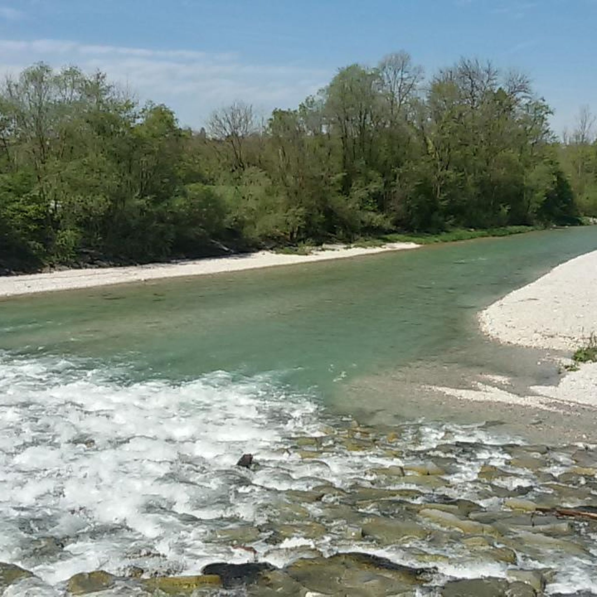
The Alm is the outflow of the Almsee north of the Dead Mountains and flows north through the Almtal. It flows through Grünau im Almtal, passes Scharnstein, Pettenbach, later Vorchdorf, Steinerkirchen an der Traun and Bad Wimsbach-Neydharting and flows into the Traun in the municipality of Fischlham.
13
2
Although the Alm has its source in the Dead Mountains and flows into the Traun near the Neydharting mud baths, hikers are encouraged to head towards the mountains against the direction of the river. Railway lines, which mostly accompany the path, make it easier for the guest to explore longer stretches of the path in a comfortable and ecological way.
11
3
A fish ladder will also be integrated into the power plant. The construction also replaces the fish ladder planned on the Almsteg on the left in the direction of flow.
5
1
Frequently Asked Questions
How many running routes are available in Steinerkirchen an der Traun?
Steinerkirchen an der Traun offers a wide selection of running routes, with over 35 trails available for exploration. These routes cater to various preferences, from easy jogs to more challenging runs.
What kind of terrain can I expect on the running trails in this region?
The running trails in Steinerkirchen an der Traun are characterized by picturesque landscapes, including rolling hills, lush green meadows, and scenic paths along the Traun and Alm Rivers. You'll find diverse natural settings, often passing through areas like the Alm-Auen Nature Preserve, known for its valuable vegetation mosaics.
Are there running routes suitable for beginners or those looking for an easy jog?
Yes, the region offers several easy running options. For instance, the Running loop from Atzing is an easy 4.5 km path that provides a gentle run through the surrounding countryside. Overall, there are 4 easy routes available, perfect for a relaxed pace.
Are there any scenic running routes that pass by natural highlights or viewpoints?
Absolutely. Many routes offer beautiful scenery, particularly those along the Traun and Alm Rivers. You might encounter the impressive Traunfall Waterfall, a captivating sight approximately 200 meters wide. The Almuferweg, following the Alm River, also provides a beautiful path through floodplain landscapes.
Can I find loop trails for running in Steinerkirchen an der Traun?
Yes, many of the running routes in the area are designed as loops, offering convenient starting and ending points. A popular option is the Running loop from Steinerkirchen an der Traun, a 6.5 km trail that provides a moderate challenge through the local landscape.
What is the best time of year for running in Steinerkirchen an der Traun?
The best seasons for outdoor activities, including running, are generally spring and autumn. During these times, the natural surroundings are vibrant with color, and the temperatures are mild, making for very pleasant conditions on the trails.
Are there any running routes that follow historical paths?
Yes, the region is rich in history, and you can incorporate historical paths into your runs. The Way of St. James and the Roman Way both pass directly through the area, offering long-distance options for runners interested in exploring historic routes. Additionally, the Benedict Trail, a 350-kilometer pilgrimage route, also provides extensive terrain for exploration.
What are some longer or more challenging running options in the area?
For those seeking a longer or more challenging run, the Running loop from Linden is a great choice, covering 14.9 km through varied terrain. Another demanding option is the Alm Footbridge loop from Steinerkirchen an der Traun, which is a difficult 15.2 km route with notable elevation changes. There are 3 difficult routes and 28 moderate routes in total.
Are the running trails in Steinerkirchen an der Traun dog-friendly?
Most outdoor trails in the region are generally dog-friendly, but it's always recommended to keep your dog on a leash, especially in nature reserves like the Alm-Auen, and to be mindful of other trail users and wildlife. Always carry water for your pet and clean up after them.
What can I see along the running routes besides natural landscapes?
Beyond the beautiful natural landscapes, you might encounter various points of interest. Some routes pass near the Lambach Abbey, a significant religious building, or offer glimpses of the Krems River, which has undergone renaturation to create diverse habitats. You could also find yourself near the Schacherteiche Nature Reserve.
Are there any running routes that are particularly good for a quick workout?
Yes, for a quicker run, consider routes like the Running loop from Stockham, an easy 4.8 km path. These shorter routes are perfect for fitting a refreshing jog into your day.
Most popular routes around Steinerkirchen an der Traun
Most popular attractions around Steinerkirchen an der Traun

Get inspired with the komoot mobile app


Explore more
Browse the best Running Trails & Routes in other regions.
