The best mountain hikes around Sankt Lorenz
4.7
(560)
7,297
hikers
98
hikes
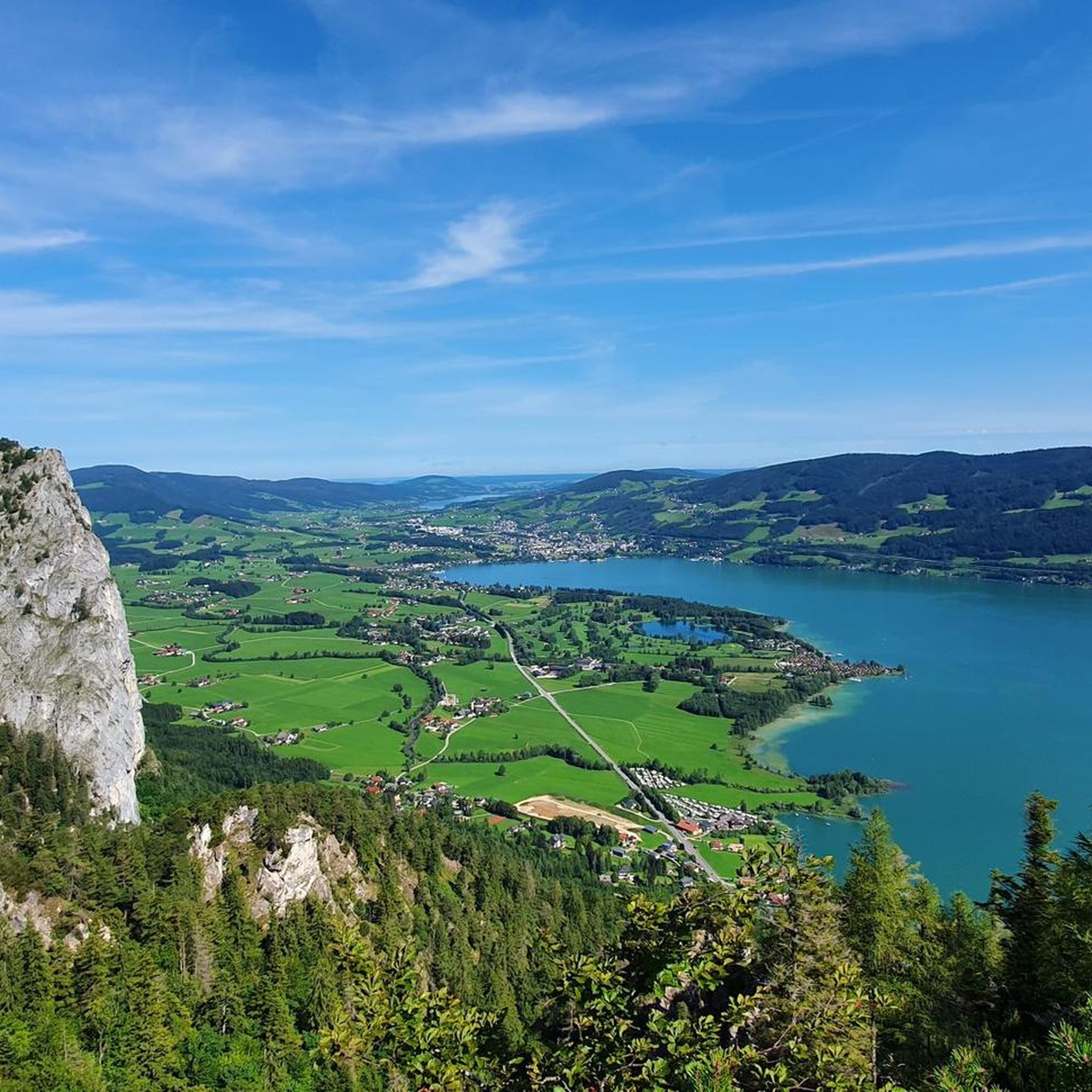
Mountaineering routes around Sankt Lorenz are situated within the Salzkammergut Mountains, offering diverse terrain for outdoor activities. The region features an imposing mountain landscape with challenging peaks and notable rock formations. Scenic lakes like Mondsee and Irrsee provide a backdrop, contributing to varied elevations and natural features. This interaction of mountains and lakes creates a distinct environment for mountaineering.
Best mountaineering routes around Sankt Lorenz
- The most popular mountaineering route is Thekla Chapel – Drachenwand loop from St. Lorenz,…
Last updated: August 11, 2026
4.8
(123)
1,038
hikers
4.43km
03:55
530m
530m
Hard mountaineering route. Good fitness required. Sure-footedness, sturdy shoes and alpine experience required.
5.0
(3)
116
hikers
2.70km
01:39
330m
330m
Hard mountaineering route. Good fitness required. Sure-footedness, sturdy shoes and alpine experience required.

Sign up for free
4.7
(6)
44
hikers
11.0km
04:47
790m
790m
Moderate mountaineering route. Good fitness required. Mostly accessible paths. Sure-footedness required.
4.8
(5)
27
hikers
13.4km
05:51
770m
780m
Hard mountaineering route. Very good fitness required. Sure-footedness, sturdy shoes and alpine experience required.
4.5
(2)
48
hikers
6.16km
02:43
460m
460m
Hard mountaineering route. Good fitness required. Sure-footedness, sturdy shoes and alpine experience required.
Get access to more routes and recommendations from other explorers.
Sign up for free
Already have an account?
Our route recommendations are based on thousands of hikes, rides, and runs completed by other people on komoot.
Start today with a free account
Your next adventure awaits.
Login or Signup
Popular around Sankt Lorenz
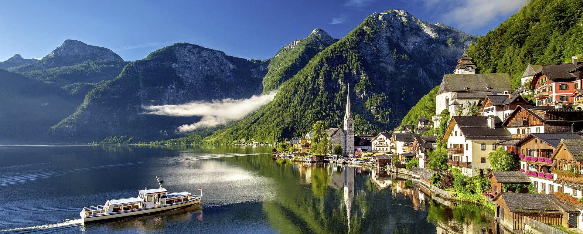
Cycling like a Kaiser – From lake to lake in Austria's Salzkammergut
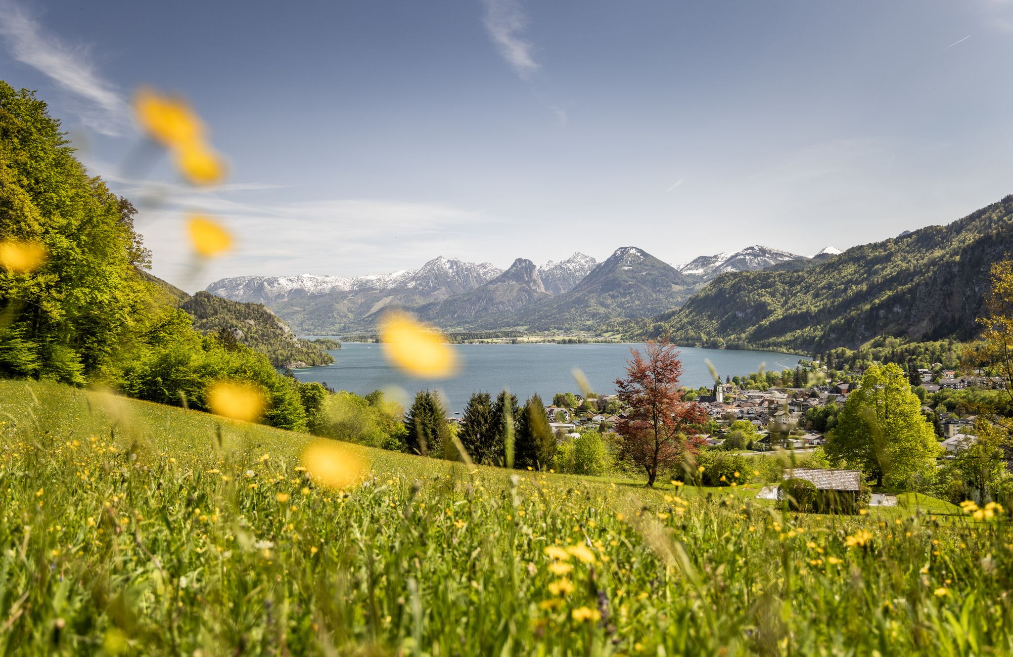
Between water and rock – hiking in Salzkammergut
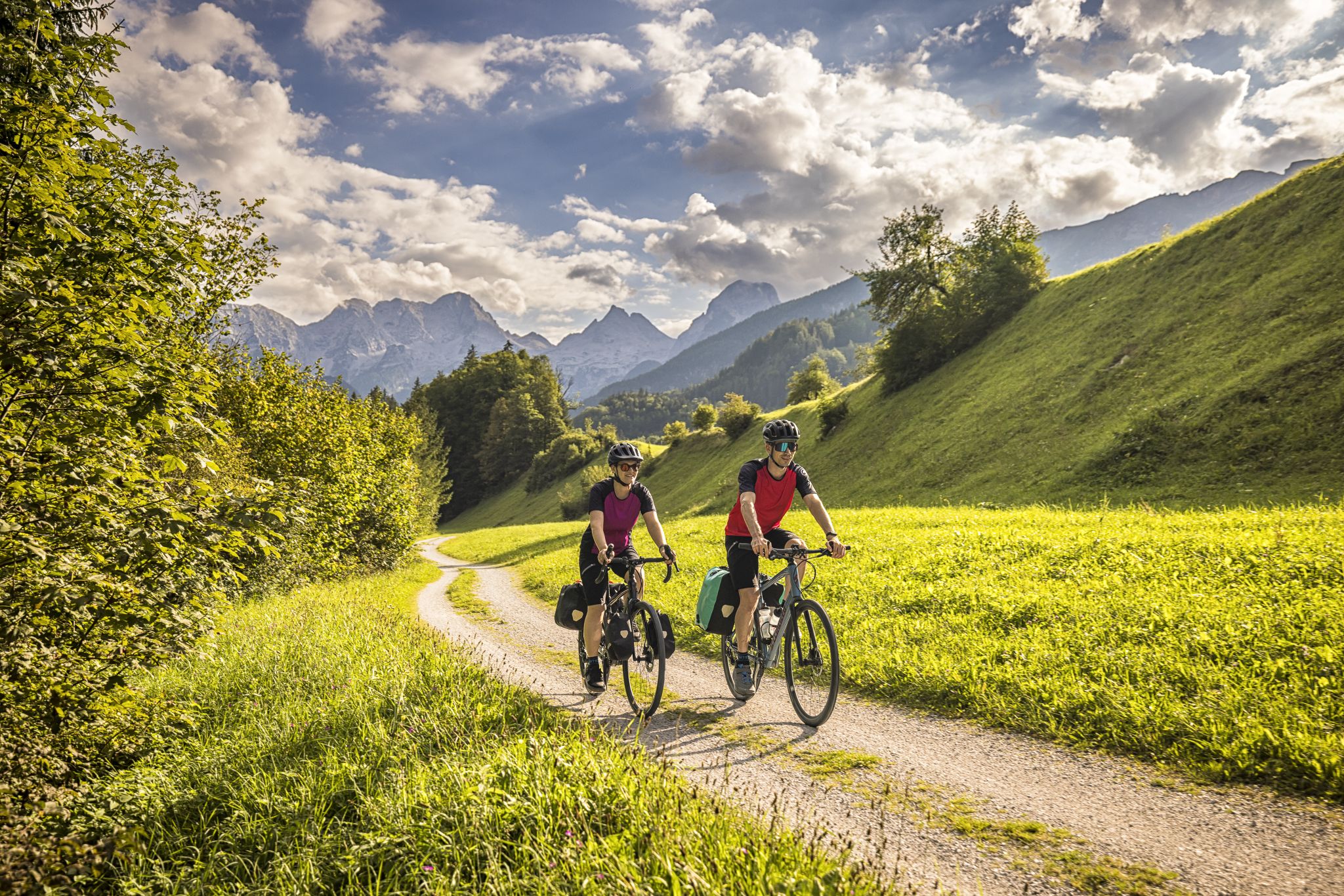
Classic and fantastic – Mozart Cycle Route
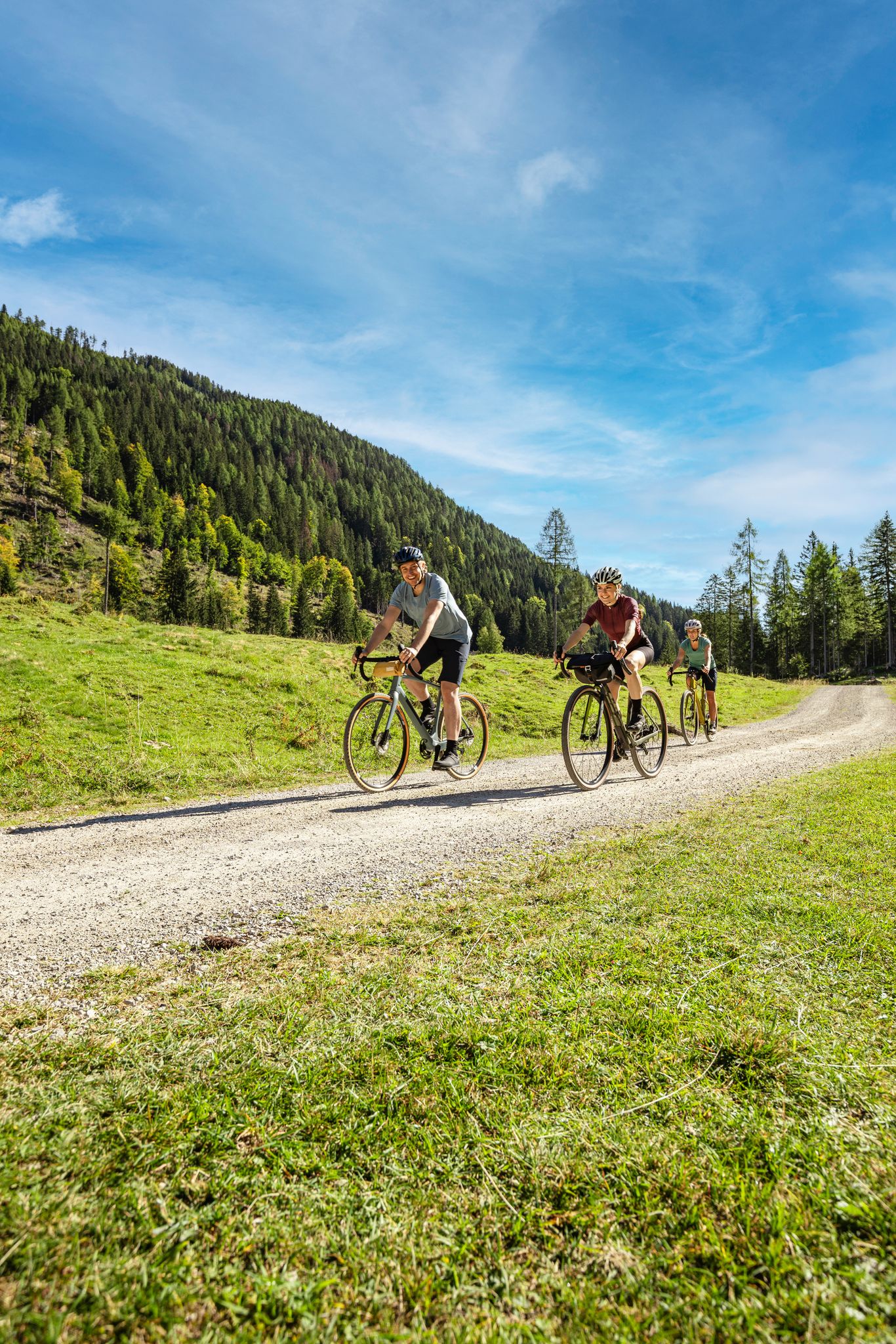
Lake Constance to Lake Neusiedl – explore Austria's federal states on gravel
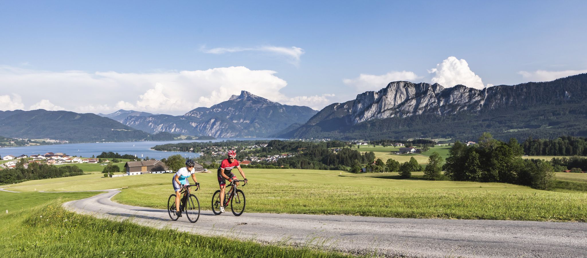
On slim tires through the SalzburgerLand & Salzkammergut
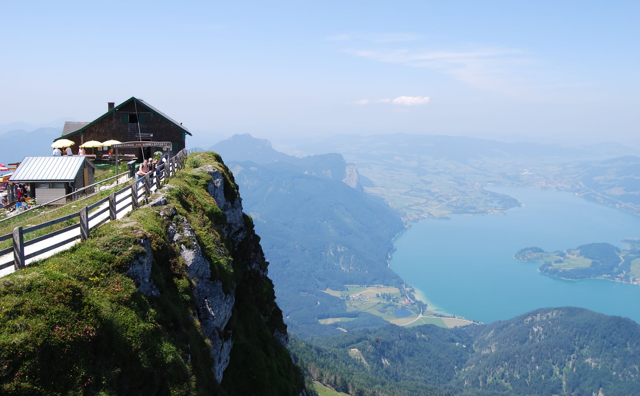
Fantastic hiking trails between Mondsee and Irrsee
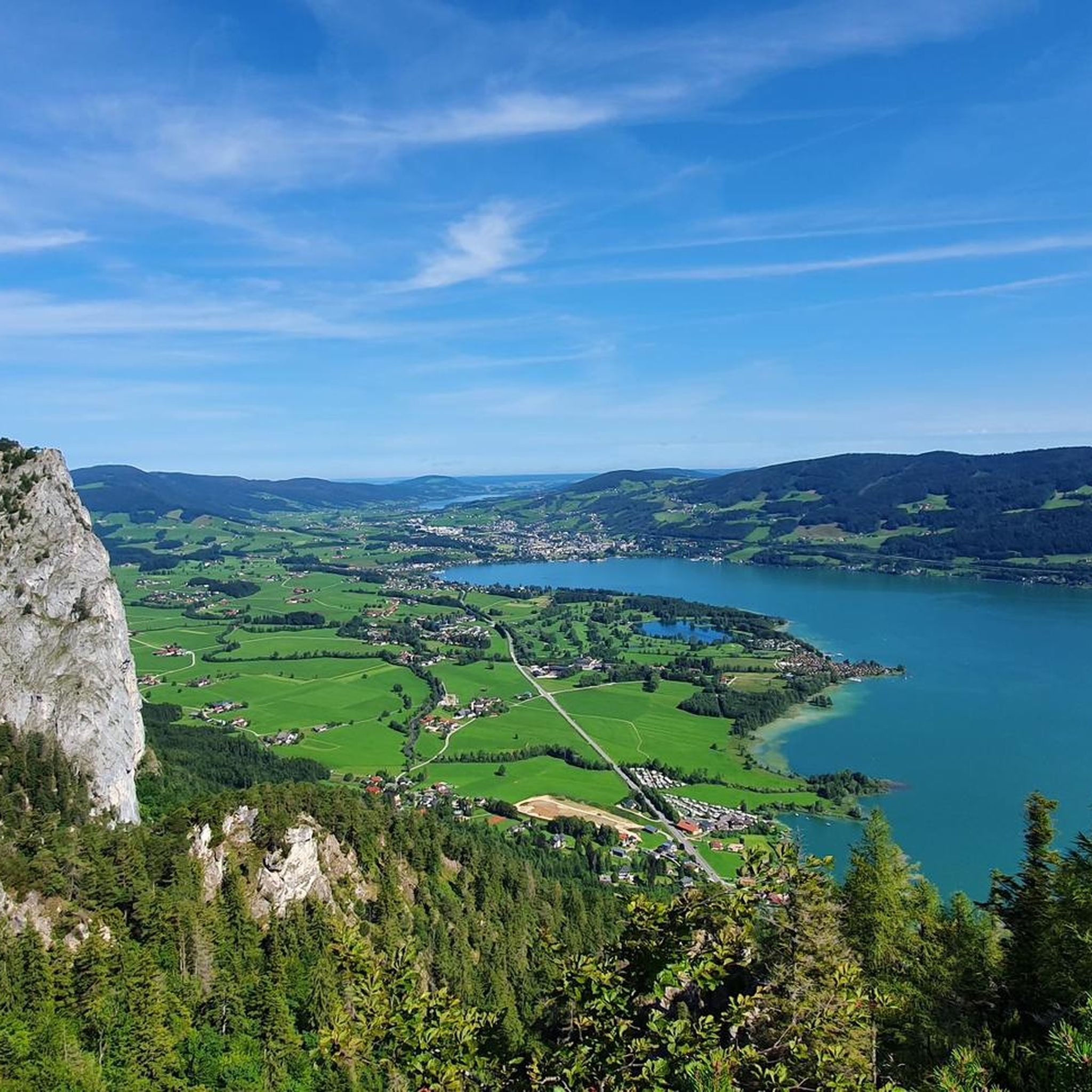
Cycling around Sankt Lorenz

Gravel biking around Sankt Lorenz
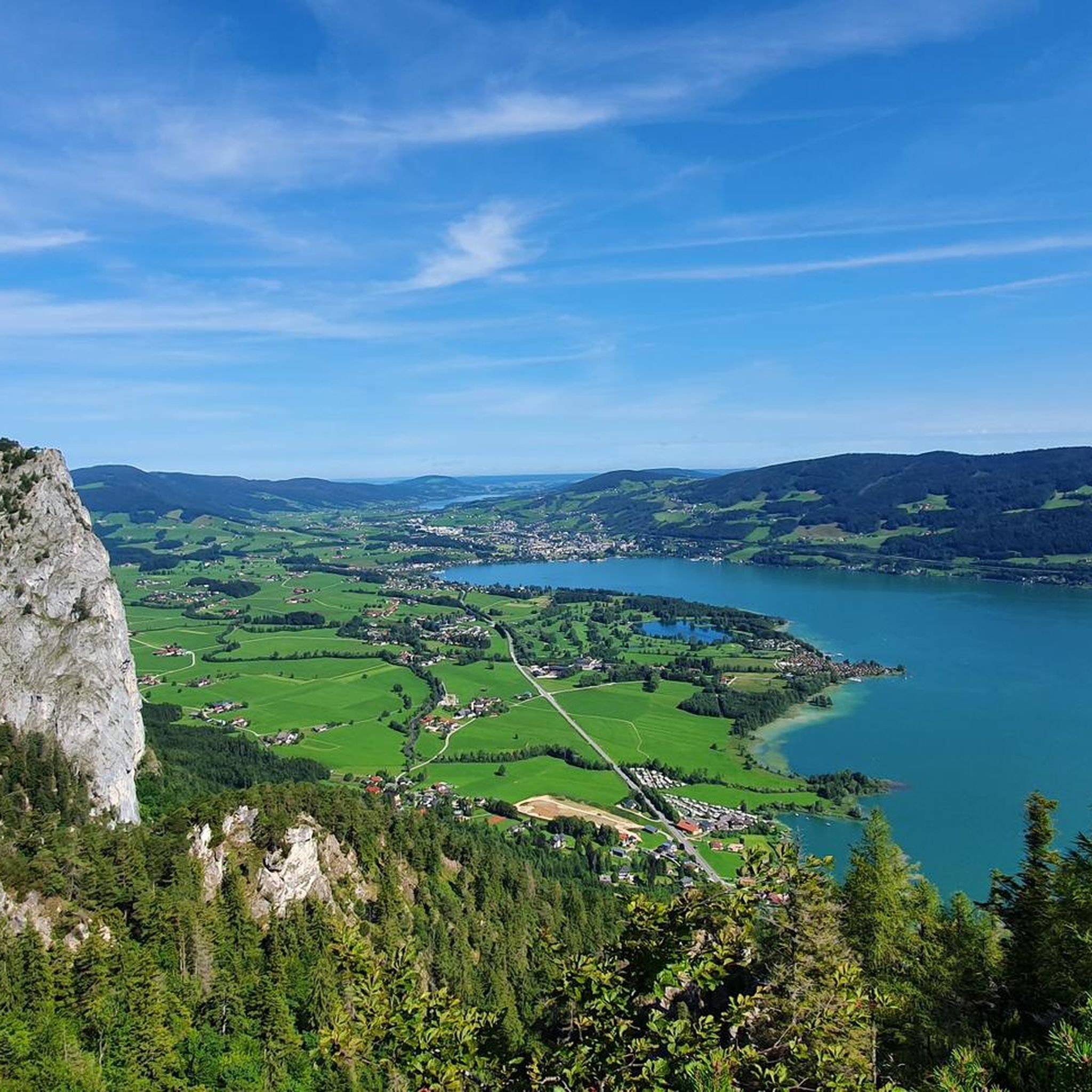
Hiking around Sankt Lorenz
Road Cycling Routes around Sankt Lorenz
Other adventures around Sankt Lorenz


Tips from the Community

The ascent should be made via the Schober summit (difficult, good fitness required), as the descent on this side is not recommended. The descent can then be made from the Frauenkopf summit.
0
0

The Theklakapelle St. Lorenz-Gries is located at approx. 580 meters altitude in the forest on the Klausbach stream below the Drachenstein. A Klausen warden, surprised by a storm, built this chapel with an image of Saint Thekla.
0
0

The sign below made us a bit uncertain, but we laughed about it later. Anyone who goes to a summit more often will laugh about it.
0
0

Small but beautiful peak
0
0

Beautiful views of the surrounding lakes. Often quite crowded, as the tour is very popular. Still a must-do 😉. Simply amazing!
0
0
Fantastic views of the surrounding lakes. This tour is highly recommended if you're sure-footed.
1
0
An incredibly magnificent view of the surrounding lakes from the summit cross. The climb is totally worth it.
2
0

Frequently Asked Questions
What types of mountaineering routes can I find in Sankt Lorenz?
Sankt Lorenz, nestled within the Salzkammergut Mountains, offers a diverse range of mountaineering routes. You'll find everything from moderate ascents to challenging climbs, including routes that feature the prominent Drachenwand rock face. The area is characterized by an imposing mountain landscape with stunning views over lakes like Mondsee and Irrsee.
Are there any moderate mountaineering routes suitable for those with some experience but not seeking extreme challenges?
Yes, Sankt Lorenz offers several moderate routes. For instance, the Almkogel Summit Cross – Drachenwand loop from St. Lorenz is a moderate 4 km route that takes about 2 hours 26 minutes, offering rewarding views without the most extreme difficulties. Another good option is the Thekla Chapel – Almkogel Summit Cross loop from St. Lorenz, which is 4.5 km long and typically takes around 2 hours 32 minutes.
What are some of the more challenging mountaineering routes in the area?
For experienced mountaineers, Sankt Lorenz is known for its difficult routes, particularly those involving the Drachenwand. The Thekla Chapel – Drachenwand loop from St. Lorenz is a demanding 5.8 km trail, often completed in about 4 hours 25 minutes. Another challenging option is the Drachenwand – Drachenwand loop from St. Lorenz, a 8.9 km path offering sustained climbing and panoramic views.
Are there any circular mountaineering routes available?
Yes, many of the mountaineering routes in Sankt Lorenz are designed as loops, allowing you to start and finish in the same location. Examples include the Drachenwand – Drachenwand Suspension Bridge loop from St. Lorenz, a 4.4 km difficult trail, and the moderate Almkogel Summit Cross – Drachenwand loop from St. Lorenz.
What do other mountaineers say about the routes in Sankt Lorenz?
The mountaineering routes in Sankt Lorenz are highly regarded by the komoot community, holding an impressive average rating of 4.7 stars from over 300 reviews. Users frequently praise the stunning panoramic views, especially over Mondsee and Irrsee, and the challenging yet rewarding nature of the climbs, particularly around the Drachenwand.
What natural landmarks or attractions can I see near the mountaineering trails?
The region around Sankt Lorenz is rich in natural beauty. You can encounter highlights such as the beautiful Mondsee, the impressive Schober Summit, and the Summit cross on Frauenkopf. There are also interesting geological features like the Rock crevices at Plombergstein and various caves, including the Adlerhöhle (Eagle Cave).
Are there any specific peaks or rock formations that are particularly notable for mountaineering?
Absolutely. The Drachenwand is a particularly famous rock face, renowned for its demanding via ferrata and varied passages. Peaks like Schober, Schatzwand, Frauenkopf, and Almkogel also offer significant mountaineering opportunities, often rewarding climbers with fantastic panoramic views over the Mondsee and Irrsee regions.
What is the best time of year for mountaineering in Sankt Lorenz?
The Salzkammergut Mountains, where Sankt Lorenz is located, are best enjoyed for mountaineering during the warmer months, typically from late spring through early autumn. This period offers more stable weather conditions and clear trails, allowing for the best views and safest ascents. Always check local weather forecasts before heading out.
How many mountaineering routes are available in the Sankt Lorenz area?
There are over 10 distinct mountaineering routes detailed for the Sankt Lorenz area, catering to various skill levels. This includes a mix of moderate and difficult trails, ensuring options for different preferences and experience levels.
Are there any routes that offer views of both Mondsee and Irrsee?
Many routes in the Sankt Lorenz area, particularly those ascending to higher peaks like Almkogel, Schober, and Frauenkopf, provide fantastic panoramic views that encompass both the Mondsee and Irrsee regions. The interaction of these beautiful lakes with the surrounding mountains creates a truly unique and scenic backdrop for your adventures.
Most popular routes around Sankt Lorenz
Most popular attractions around Sankt Lorenz

Get inspired with the komoot mobile app


Explore more
Browse the best Mountain Hikes & Routes in other regions.
