The best running trails around Cliddesden
4.6
(54)
5,620
runners
467
runs
Jogging around Cliddesden offers access to a diverse landscape of rolling countryside and expansive open fields. The region features numerous woodlands and well-defined trails, providing varied terrain for runners. Farleigh Hill, located southwest of the village, presents opportunities for more challenging runs with elevated views. This area is characterized by its natural beauty within a Conservation Zone.
Best jogging routes around Cliddesden
- The most popular jogging route is St Martin's Church, Ellisfield – The Drove, Farleigh Wallop loop from Cliddesden…
Last updated: November 10, 2026
156
runners
Hard run. Very good fitness required. Mostly paved surfaces.
62
runners
12.6km
01:28
170m
170m
Moderate run. Good fitness required. Mostly paved surfaces.

69
runners
9.13km
00:57
70m
70m
Moderate run. Good fitness required. Mostly paved surfaces.
5.0
(1)
41
runners
10.1km
01:05
140m
140m
Moderate run. Good fitness required. Mostly paved surfaces.
27
runners
6.26km
00:40
70m
70m
Moderate run. Good fitness required. Mostly paved surfaces.
Get access to more routes and recommendations from other explorers.
Already have an account?
Our route recommendations are based on thousands of hikes, rides, and runs completed by other people on komoot.
Start today with a free account
Your next adventure awaits.
Tips from the Community

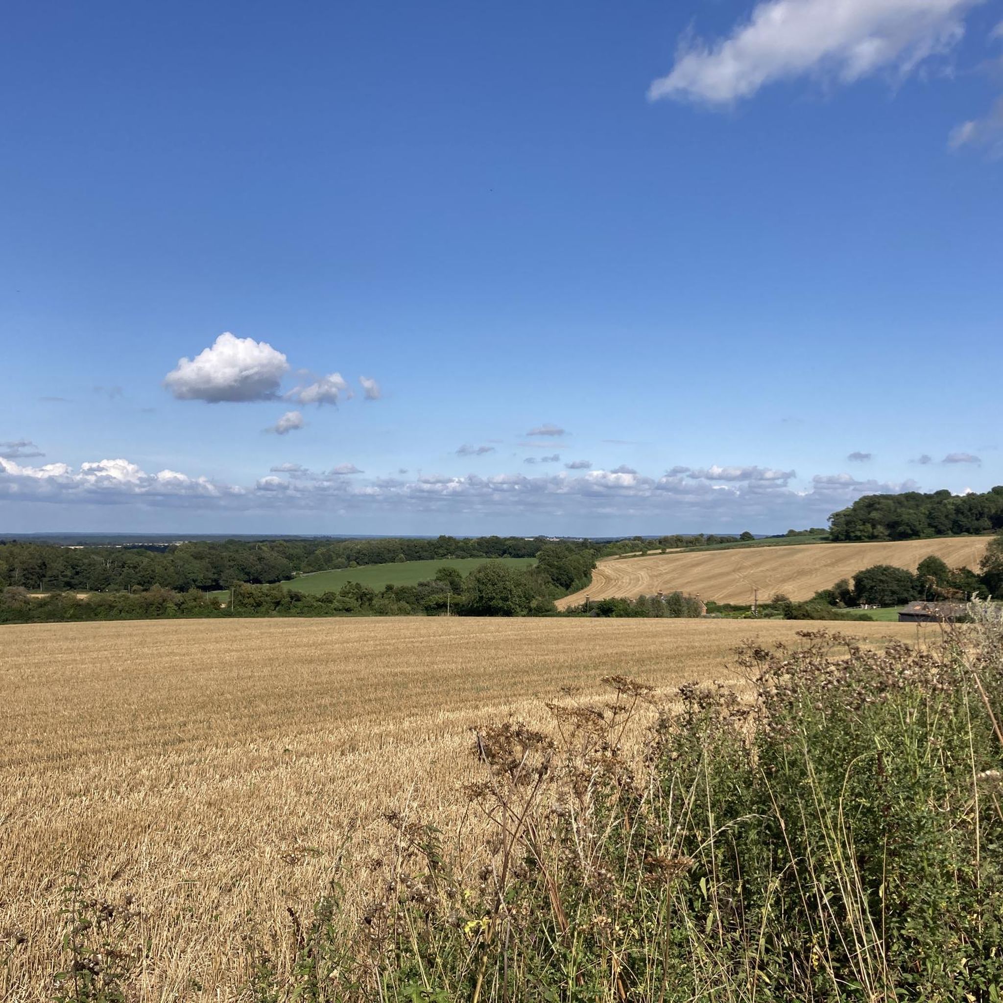
A very pretty shallow valley that has a fun transecting roadway with great visibility (in the shown direction).
0
0

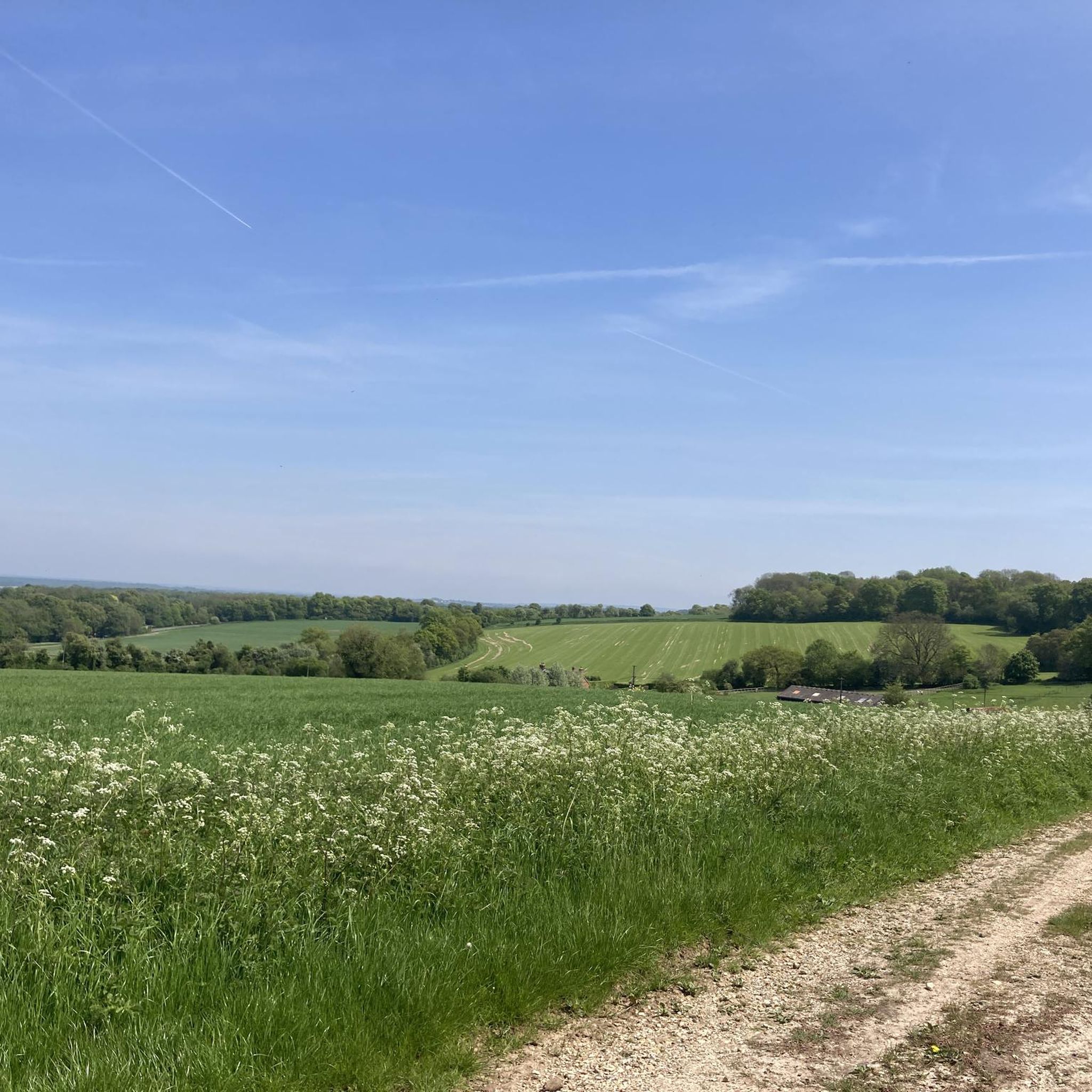
This is a rewarding climb with fantastic views at the summit. Just take care on the way up and down as some sections are quite narrow.
1
0

From the trig point at 207m above sea level on Garlic Lane.
0
0

A Grade II-listed church in Hampshire's serene countryside, it's thought that St Martin's was built during the late 13th century. Inside, admire the Gothic Revival stained glass windows. Outside, admire the avenue of pleached limes, not something often found in Hampshire.
0
0


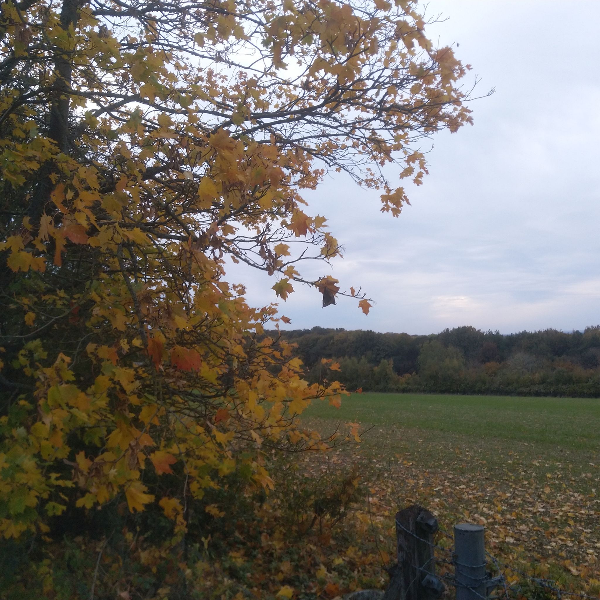
I was coming out of Cliddesden when I noticed this panoramic spot which offered the perfect excuse for a short break... Yes, you can see some of the M3 traffic and yes, it does partially spoil the view, but if you can look past that and look North or North-West, rather than West all you'll see are fields and trees, in this particular case dressed in Autumn colours. Somehow oddly, there is a rubbish bin conveniently located by the gate too (handy to discard those snack wrappers you stored in your pockets).
2
0

Frequently Asked Questions
How many running routes are available around Cliddesden?
Cliddesden offers a wide selection of running routes, with over 440 trails available for you to explore. These routes cater to various preferences, from easy strolls to more challenging runs through the Hampshire countryside.
What are the difficulty levels of running trails in Cliddesden?
The running trails around Cliddesden offer a good mix of difficulty levels. You'll find approximately 49 easy routes, 346 moderate routes, and 50 difficult routes, ensuring options for all fitness levels and experiences.
Are there challenging running routes with significant elevation gain in Cliddesden?
Yes, for those seeking a challenge, Cliddesden features several routes with significant elevation gain. For example, the St Martin's Church, Ellisfield – The Drove, Farleigh Wallop loop from Cliddesden is a difficult 19.1 km trail with over 220 meters of ascent, offering a rewarding workout through the rolling Hampshire Downs.
What natural features and landscapes can I expect to see while jogging in Cliddesden?
Jogging in Cliddesden immerses you in a diverse landscape of rolling countryside, expansive open fields, and numerous woodlands. You'll encounter picturesque backdrops, well-defined trails, and opportunities to spot local wildlife. The area is part of a Conservation Zone, preserving its natural beauty.
Are there any historical landmarks or attractions along the running routes?
Yes, several routes pass by interesting landmarks. For instance, the village of Cliddesden itself features St. Leonard's Church, a historical landmark dating back to the 12th century. Nearby, you can also explore the grounds of The Vyne, a 16th-century country house with extensive woodlands and a wetlands nesting site.
Can I bring my dog along on the running trails in Cliddesden?
Many trails in the Cliddesden area are dog-friendly, allowing you to enjoy your run with your canine companion. The grounds of The Vyne, for example, welcome dogs in certain areas, offering dedicated woodland, wetland, and parkland walking trails suitable for a run.
What do other runners enjoy the most about jogging in Cliddesden?
The running routes in Cliddesden are highly rated by the komoot community, with an average score of 4.7 stars from over 40 reviews. Runners often praise the varied terrain, from open fields to shaded woodlands, and the scenic beauty of the Hampshire countryside. The well-maintained paths and the sense of tranquility are frequently highlighted.
Are there family-friendly running routes suitable for all ages in Cliddesden?
Yes, Cliddesden offers several routes that are suitable for families. Many of the easier and moderate trails, particularly those through open fields or on accessible paths, provide a pleasant experience for all ages. The Trail Through Swallick Farm – Old Railway Line Trail loop from Cliddesden is a moderate 12.6 km path that guides runners through varied scenery, which can be enjoyed by families.
Is parking available near the running trails in Cliddesden?
While specific parking details vary by starting point, Cliddesden village and surrounding areas typically offer roadside parking or small car parks convenient for accessing the trails. It's advisable to check local signage for any restrictions.
How can I reach Cliddesden's running routes using public transport?
Cliddesden is accessible by public transport, primarily bus services connecting from nearby towns like Basingstoke. You can plan your journey to the village, which serves as a common starting point for many running routes. Specific bus routes and timetables should be checked with local transport providers.
What is the best time of year to go jogging in Cliddesden?
Cliddesden offers enjoyable jogging conditions throughout the year. Spring and summer provide lush green landscapes and warmer weather, ideal for exploring the open fields. Autumn brings beautiful foliage to the woodlands, while winter offers crisp air and quieter trails, though some paths might be muddy. The wooded areas provide refreshing shade during warmer months.
Are there any places to stop for refreshments or a meal after a run in Cliddesden?
Cliddesden village itself has local amenities, including pubs and potentially a village shop, where you can find refreshments. For example, you might find a welcoming pub to relax after your run. Nearby towns also offer a wider selection of cafes and restaurants.
Do I need any permits to jog in the Cliddesden countryside?
Generally, no specific permits are required for jogging on public footpaths and bridleways in the Cliddesden countryside. As long as you stick to designated public access routes and respect private land, you are free to enjoy the trails.
Most popular attractions around Cliddesden

Get inspired with the komoot mobile app


Explore more
Browse the best Running Trails & Routes in other regions.
