The best mountain hikes around Oberhofen am Irrsee
3.0
(2)
16
hikers
3
hikes
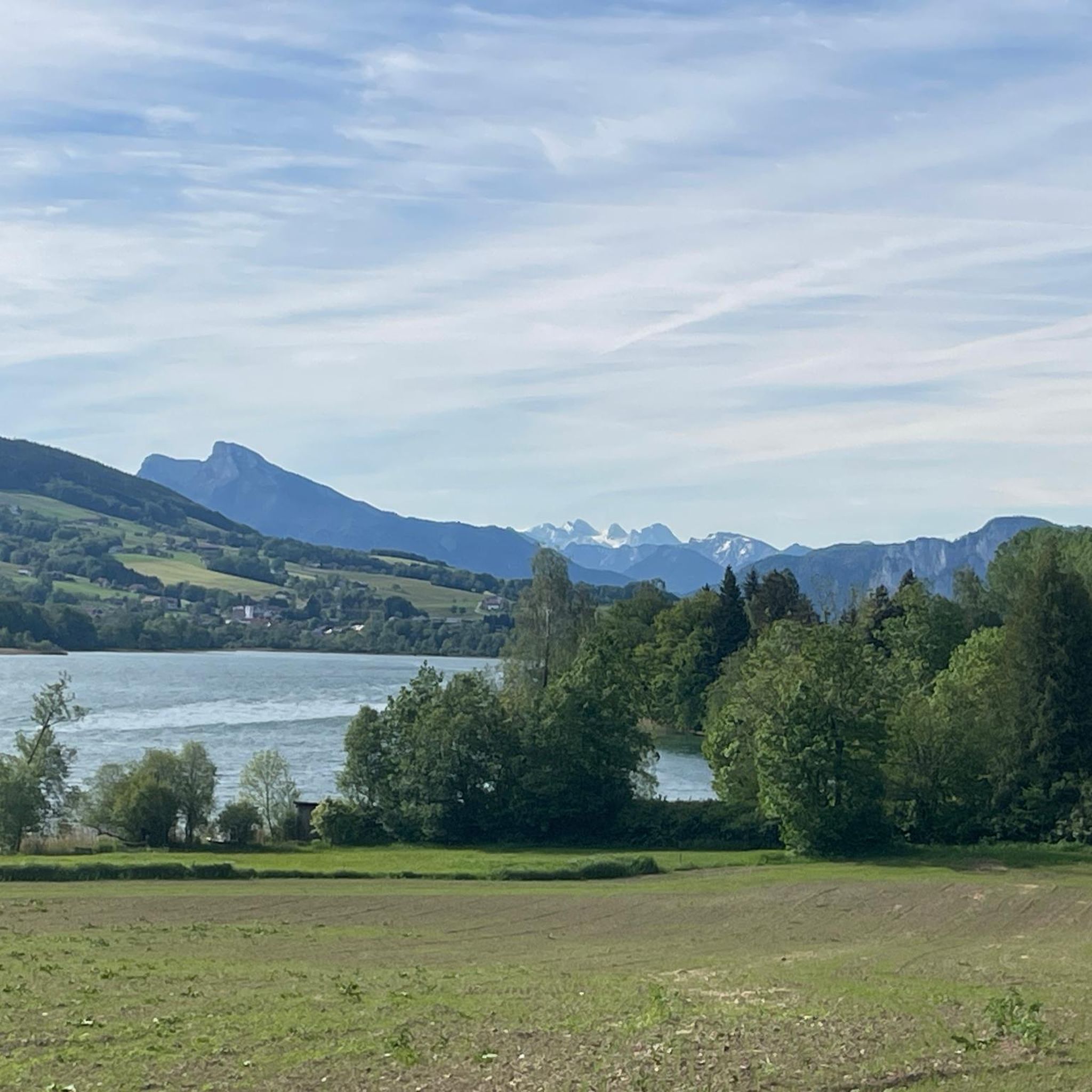
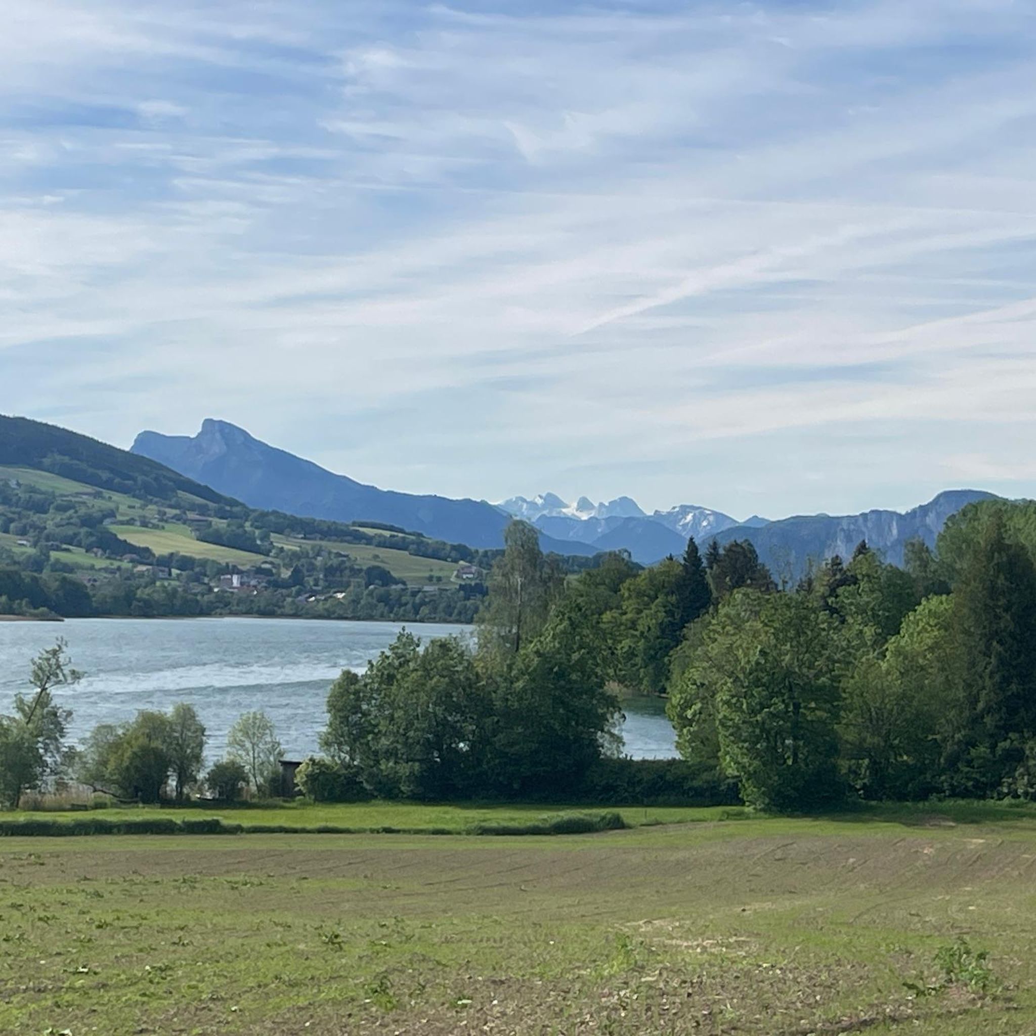
Mountaineering routes around Oberhofen am Irrsee are set within the Salzkammergut region of Austria, characterized by a blend of serene lakeside environments and challenging alpine terrain. The area features the idyllic Lake Irrsee, surrounded by green meadows and wooded hills that transition into more formidable peaks. This diverse topography provides a spectrum of trails, from moderate ascents to demanding climbs, often offering views towards the Dachstein mountain range.
Best mountaineering routes around Oberhofen am Irrsee
- The most popular mountaineering route…
Last updated: July 5, 2026
5.0
(1)
10
hikers
7.89km
03:30
620m
620m
Hard mountaineering route. Good fitness required. Sure-footedness, sturdy shoes and alpine experience required.
3
hikers
Moderate mountaineering route. Good fitness required. Mostly accessible paths. Sure-footedness required.

Sign up for free
2
hikers
Moderate mountaineering route. Good fitness required. Mostly accessible paths. Sure-footedness required.
1.0
(1)
1
hikers
Moderate mountaineering route. Good fitness required. Mostly accessible paths. Sure-footedness required.
Our route recommendations are based on thousands of hikes, rides, and runs completed by other people on komoot.
Start today with a free account
Your next adventure awaits.
Login or Signup
Popular around Oberhofen am Irrsee
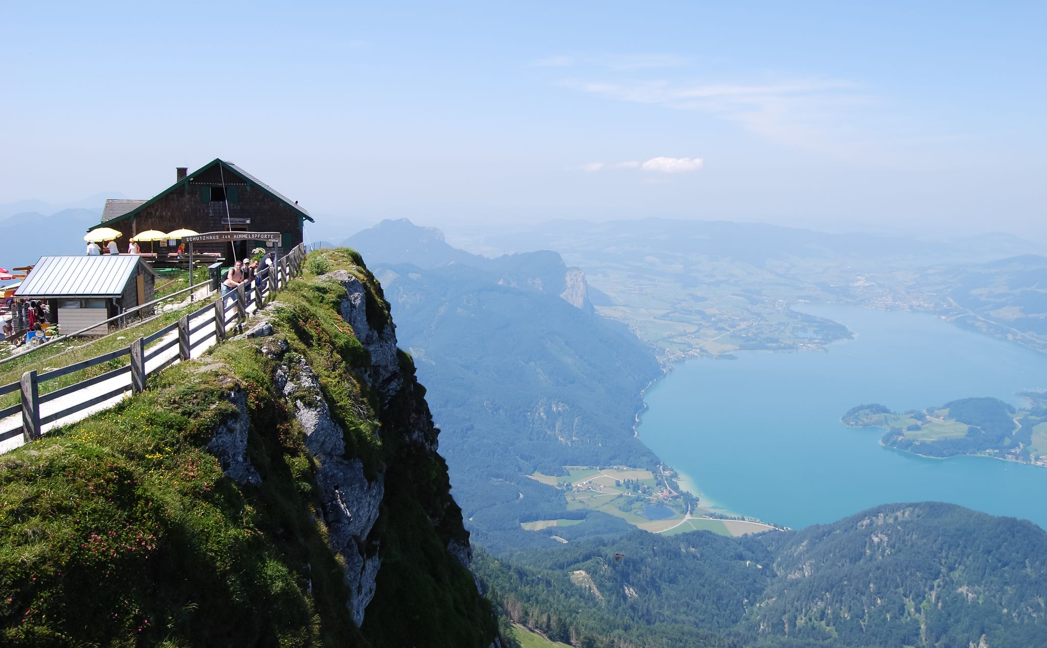
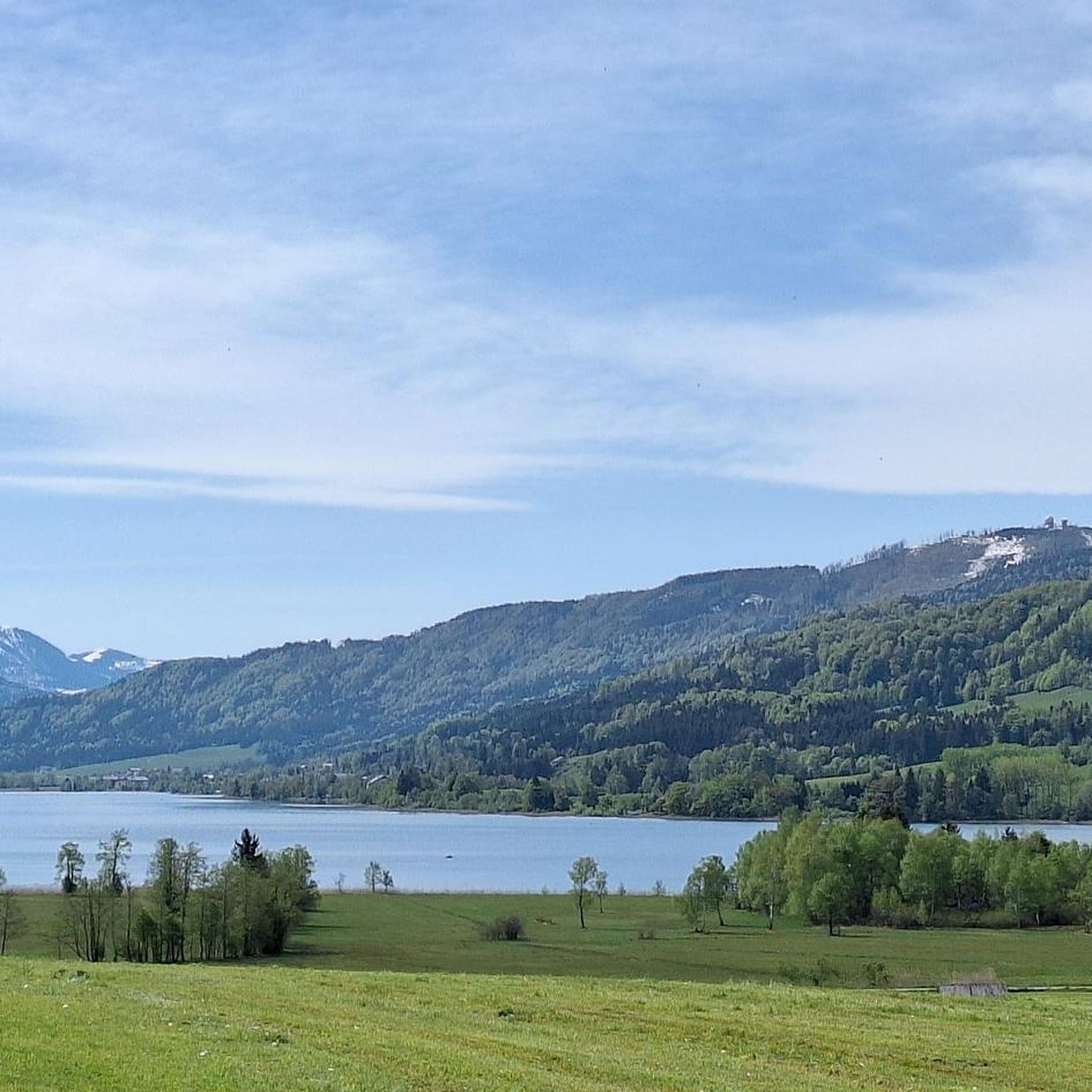
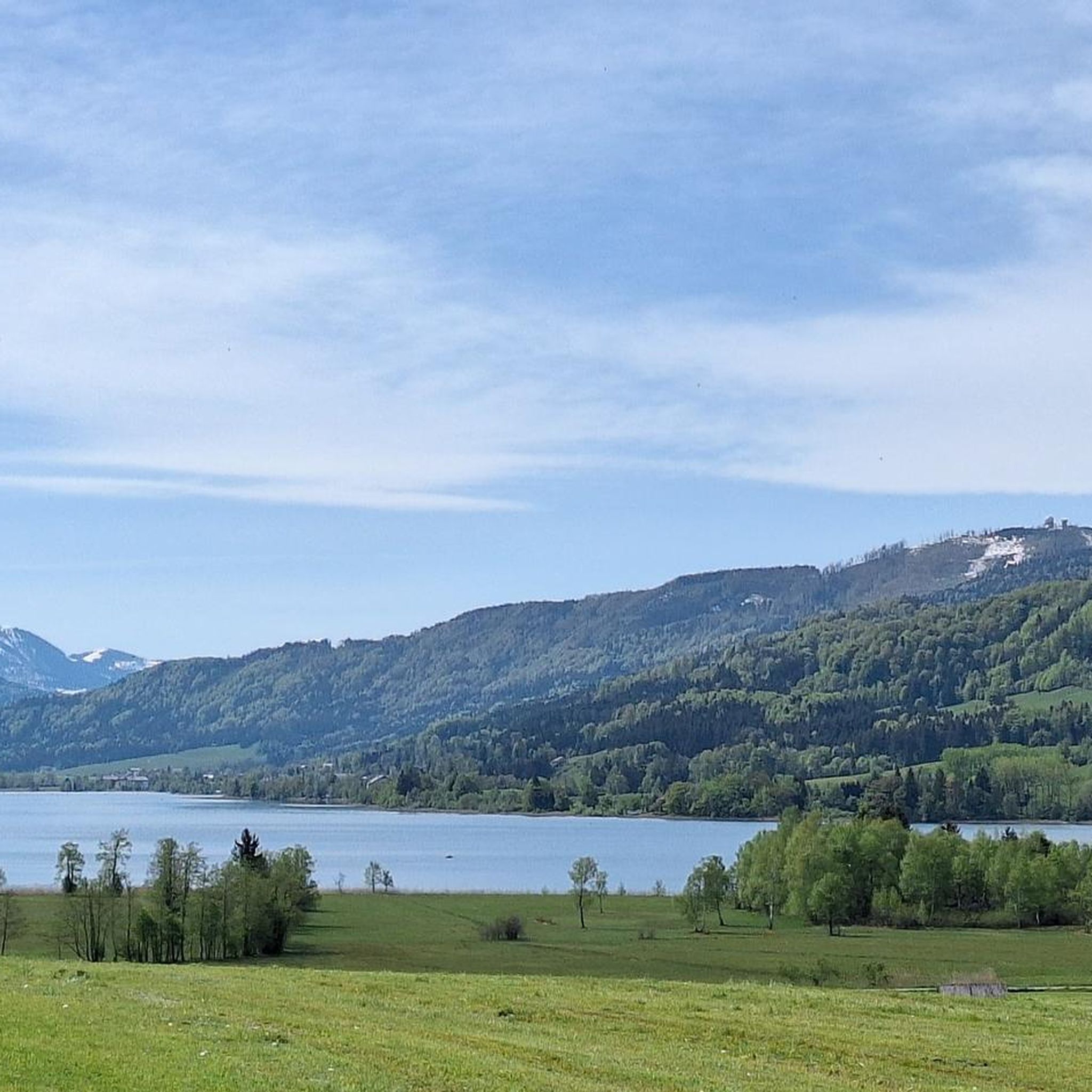
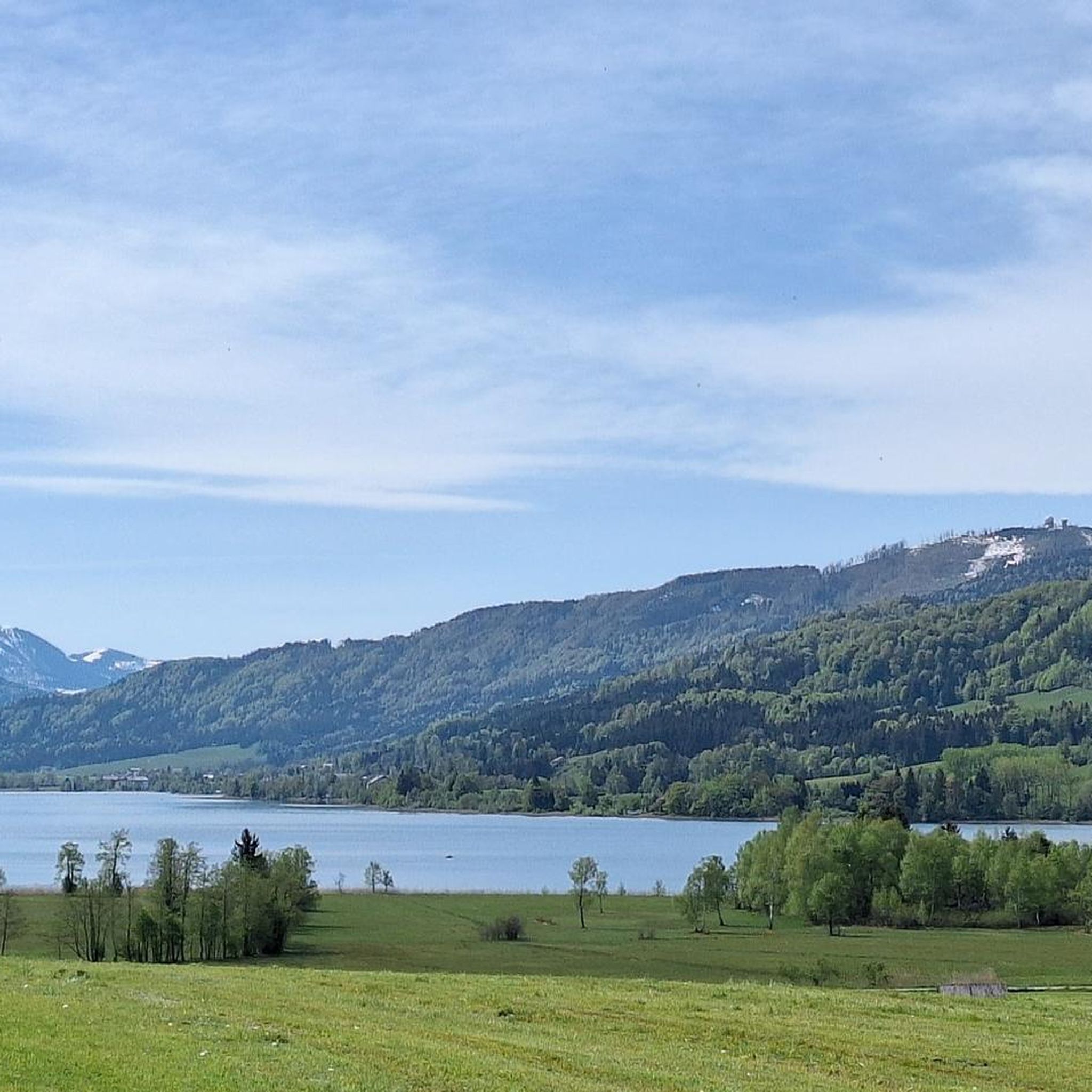

Other adventures around Oberhofen am Irrsee

Tips from the Community

The ascent should be made via the Schober summit (difficult, good fitness required), as the descent on this side is not recommended. The descent can then be made from the Frauenkopf summit.
0
0
Descent from the Schober summit via the Frauenkopf summit. Many steps and partly scree on the descent (good sure-footedness required).
0
0

A wonderful viewpoint that should be combined with a few others: to the Große Plaike, with a view into the Salzburg mountain world, further to the Heimkehrerkreuz and on the light-flooded forest road to the Gardekreuz. From there up to the Kolomanstaferl. The path upwards appears bare and cleared in places, the wind often blows around your ears, but the panoramic view is incredibly beautiful and worth a hike. At the Kolomanstaferl, the view of the low-lying Mondsee is offered, which is surpassed even more when you descend towards Lehmberg in the direction of Sommerholz. Otherwise, you can extend the hiking tour from the Kolomanstaferl to the Kolomansberg - which then already requires good stamina and fitness and is rewarded during the ascent with a dreamlike view of the Irrsee and at the Kolomanskircherl again with mountain panorama and Mondsee view. Those who want to make the way back or the tour into a circular route use the forest roads on the Thalgau side, then you can expect 15 to 18 km of walking distance …
0
0

Beautiful views of the surrounding lakes. Often quite crowded, as the tour is very popular. Still a must-do 😉. Simply amazing!
0
0
Fantastic views of the surrounding lakes. This tour is highly recommended if you're sure-footed.
1
0
An incredibly magnificent view of the surrounding lakes from the summit cross. The climb is totally worth it.
2
0
Beautiful view of the surrounding lakes from the summit cross.
0
0

The descent on the south side is doable, and the ascent is certainly more suitable for four-legged friends.
1
0
Frequently Asked Questions
How many mountaineering routes are available around Oberhofen am Irrsee?
There are several mountaineering routes in the area, with komoot featuring 3 distinct tours. These range from moderate to difficult, offering diverse experiences across the region's varied terrain.
Are there any challenging mountaineering routes for experienced hikers?
Yes, for experienced mountaineers, the region offers demanding climbs. The View of Lake Fuschl – Wartenfels Castle Ruins loop from Burgruine Wartenfels is a difficult route that takes around 3 hours 30 minutes to complete, featuring significant elevation gain and rewarding views.
What kind of views can I expect on the mountaineering routes?
The routes around Oberhofen am Irrsee offer breathtaking alpine panoramas. You can expect stunning views across Lake Irrsee and towards the majestic Dachstein mountain range from higher elevations. Many trails also feature picturesque lake views, such as those found on the View of Lake Fuschl – Wartenfels Castle Ruins loop.
Are there any circular mountaineering routes in the area?
Yes, several routes are designed as loops. For example, the Heimkehrerkreuz – Kolomanskapelle loop from Thalgauberg is a moderate 12.2 km path that offers varied terrain and leads to the Kolomanskapelle. Another option is the Steinwandl Viewpoint – Kolomanskirche wooden chapel loop from Katastralgemeinde Thalgauberg, which provides panoramic views through wooded hills.
What natural features or landmarks can I see along the mountaineering trails?
The region is rich in natural beauty and historical sites. Along the trails, you might encounter the idyllic Irrsee (Lake Zell), or pass by significant viewpoints like the Lichtenberg Observation Tower. Religious buildings such as the Radstatt Chapel and the Kolomanskirche wooden chapel are also notable landmarks.
What do other mountaineers enjoy most about the routes in Oberhofen am Irrsee?
The area's routes are highly rated by the komoot community, with an average score of 3.0 stars. Mountaineers often praise the blend of serene lakeside environments with challenging alpine terrain, and the diverse topography that provides a spectrum of trails for different abilities.
Are there any family-friendly mountaineering options around Oberhofen am Irrsee?
While many mountaineering routes can be demanding, the broader region around Oberhofen am Irrsee offers themed trails like the 'Dragonfly Trail' and 'In the Footsteps of Water' which are ideal for families. For slightly more challenging but still accessible options, moderate routes with less extreme elevation changes are available.
Can I bring my dog on the mountaineering trails?
Many trails in the Salzkammergut region are dog-friendly, but it's always advisable to check specific route regulations or local signage. Ensure your dog is well-behaved, kept on a leash where required, and that you carry waste bags. Some alpine sections might be unsuitable for dogs due to terrain difficulty.
What is the best season for mountaineering in Oberhofen am Irrsee?
The best time for mountaineering is typically from late spring to early autumn (May to October), when the weather is more stable and trails are clear of snow. During these months, you can fully enjoy the green meadows, wooded hills, and alpine panoramas. Winter mountaineering options exist but require specialized equipment and experience.
Are there any routes that lead to mountain huts or places to rest?
While the provided routes don't explicitly mention mountain huts, the broader Salzkammergut region is known for its network of trails that often connect to traditional mountain huts. These offer opportunities for rest, refreshments, and sometimes overnight stays. It's recommended to research specific routes for hut availability.
Is public transport available to access mountaineering routes near Oberhofen am Irrsee?
Public transport options exist within the Salzkammergut region, connecting various towns and trailheads. While specific route starting points might require a short walk or local bus connection, it is generally possible to reach the area using public transport. Checking local bus schedules is recommended for planning your access.
Where can I find parking for mountaineering routes?
Parking is generally available near popular trailheads and in the villages surrounding Oberhofen am Irrsee. Specific parking information is often provided on detailed route descriptions. For example, routes like the View of Lake Fuschl – Wartenfels Castle Ruins loop start from Burgruine Wartenfels, where parking facilities are typically present.
Most popular routes around Oberhofen am Irrsee
Most popular attractions around Oberhofen am Irrsee

Get inspired with the komoot mobile app


Explore more
Browse the best Mountain Hikes & Routes in other regions.
