Mapledurwell And Up Nately
Mapledurwell And Up Nately
The best running trails around Mapledurwell And Up Nately
4.6
(56)
6,110
runners
522
runs
Jogging around Mapledurwell And Up Nately offers varied landscapes for runners, characterized by open countryside, rolling farmland, and tranquil woodlands. The region features accessible paths along the Basingstoke Canal towpath, known for its flat, traffic-free sections. Additionally, routes alongside the River Whitewater provide gentle riverside scenery. The terrain is generally flat to gently undulating, making it suitable for various fitness levels.
Best jogging routes around Mapledurwell And Up Nately
- The most popular jogging route is Odiham Castle Ruins – Basingstoke…
Last updated: July 1, 2026
20
runners
Moderate run. Good fitness required. Mostly paved surfaces. Suitable for all skill levels.
14
runners
9.86km
01:07
60m
60m
Moderate run. Good fitness required. Mostly paved surfaces. Suitable for all skill levels.

Sign up for free
19
runners
9.65km
01:00
20m
20m
Moderate run. Good fitness required. Mostly paved surfaces. Suitable for all skill levels.
13
runners
6.65km
00:45
20m
20m
Moderate run. Good fitness required. Mostly paved surfaces. Suitable for all skill levels.
28
runners
5.89km
00:40
20m
20m
Moderate run. Good fitness required. Mostly paved surfaces. Suitable for all skill levels.
Get access to more routes and recommendations from other explorers.
Sign up for free
Already have an account?
Our route recommendations are based on thousands of hikes, rides, and runs completed by other people on komoot.
Start today with a free account
Your next adventure awaits.
Login or Signup
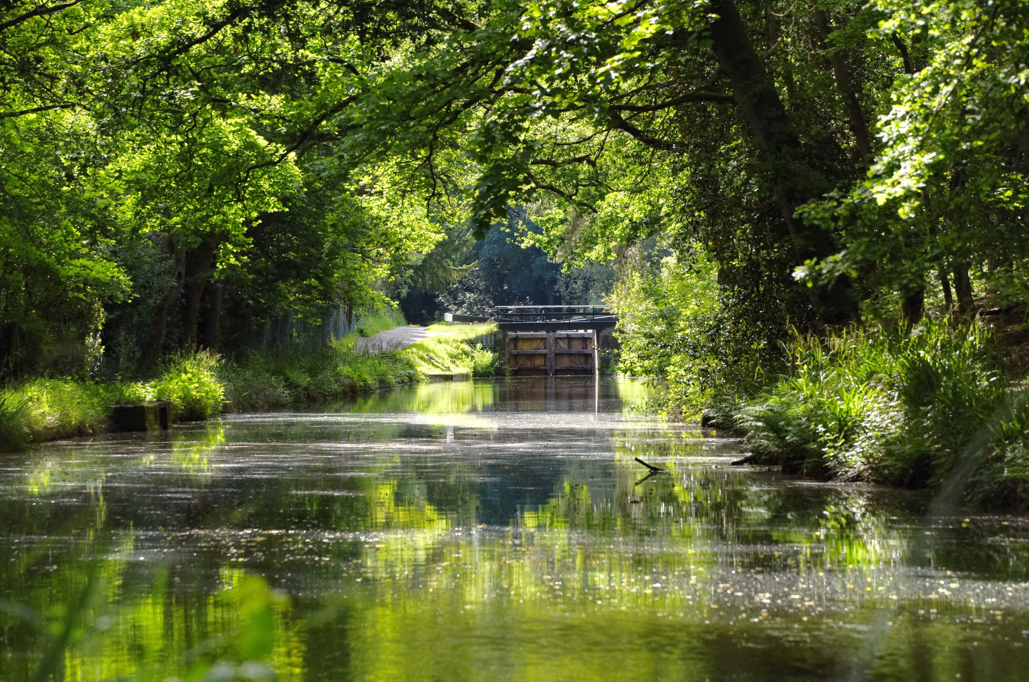
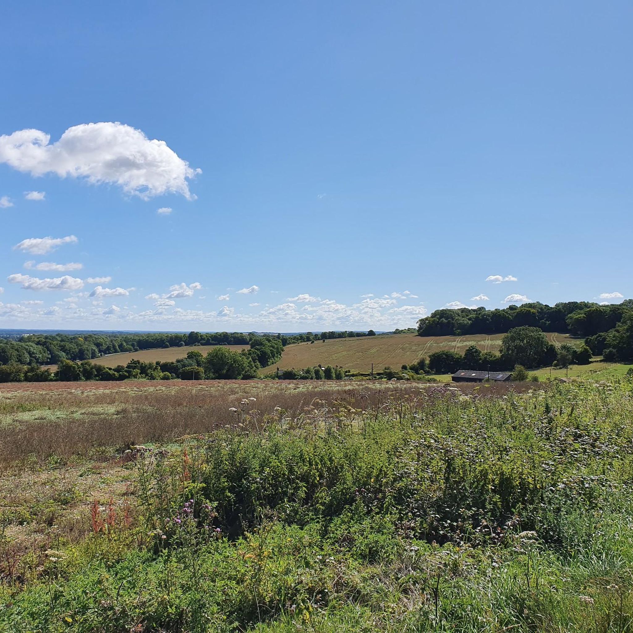

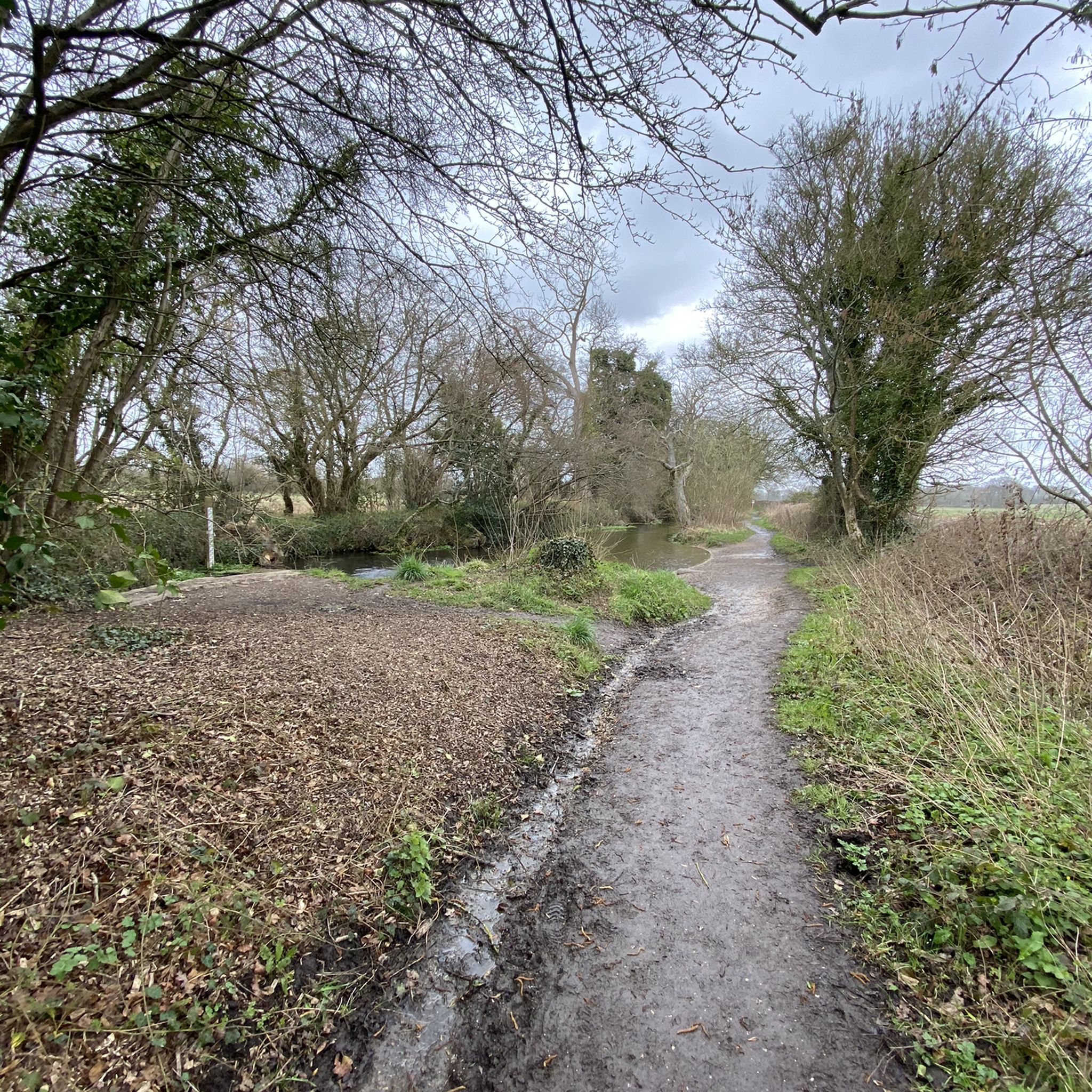
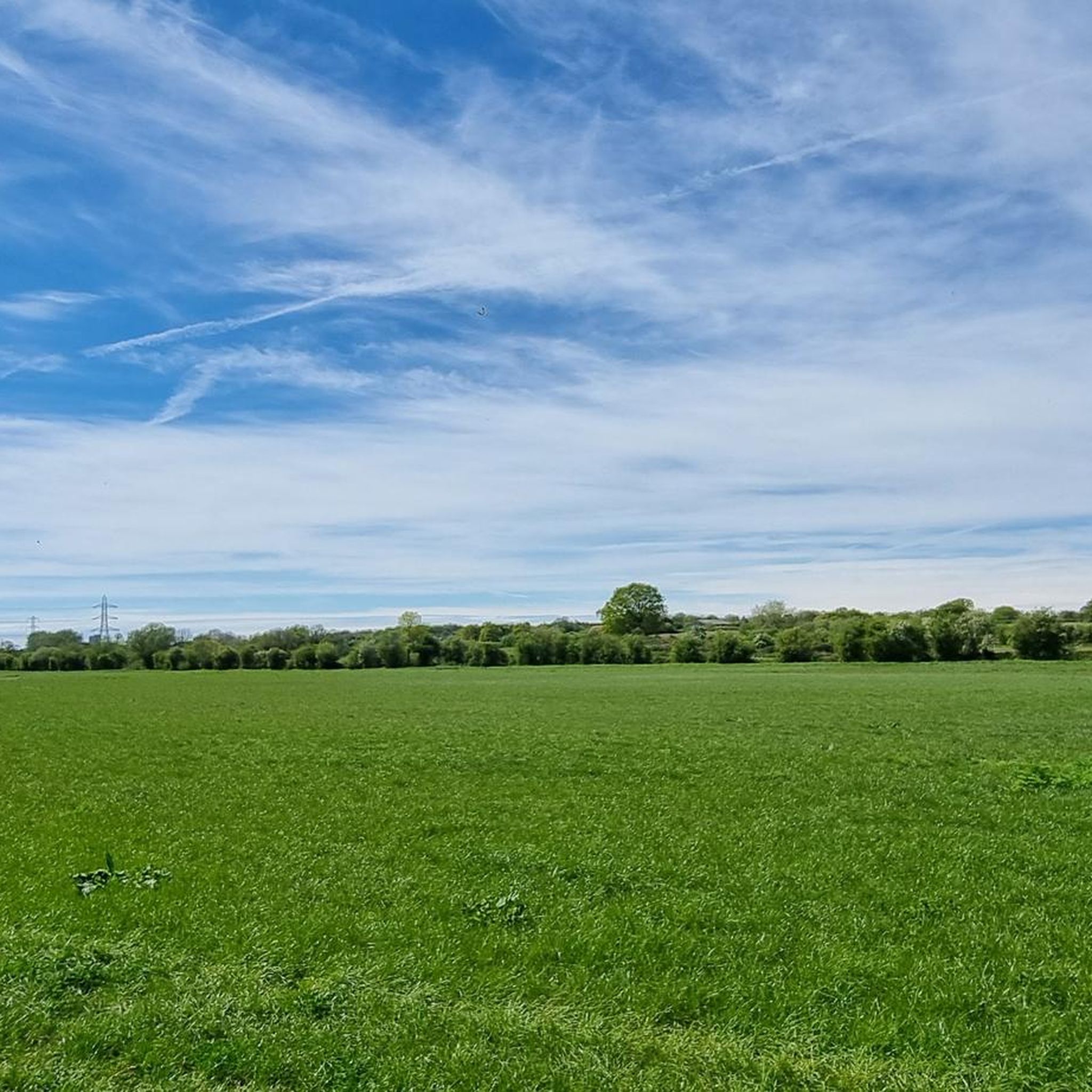
Other adventures around Mapledurwell And Up Nately

Tips from the Community

Now collapsed and impassable, a hugely ecologically important site now which houses many Bats.
0
0
Historic feature on this route. Now non passable due to collapse but now hugely ecologically significant.
0
0

Locals tell me that this is the only place they visit to buy a hot fish & chip dinner.
0
0

Great stop on our ride. We done cafes and ice cream and also topped up our water bottles. Staff is very friendly and helpful and knowledgeable about the history spot. Don’t miss it! I must visit on foot and properly discover such amazing and significant place.
0
0

Nice trail alongside the River Loddon - can be made into a circular walk using paths on either side of the river from Basingstoke.
0
1


Accessed via the towpath on the Basingstoke Canal, which makes for a pleasant walk, if sometimes a little busy, Odiham Castle is interesting to walk around. The towpath can get a little muddy!
0
0

One of King John's three castles, this spectacular ruin sits on the edge of the Basingstoke Canal around halfway between Windsor and Winchester castles. Odiham Castle was built at the very beginning of the 13th century and was possibly where the king rode out from to sign the Magna Carta at Runnymede. Extended during the later 13th century, over the next 200 years it was sometimes used as a prison. King David II of Scotland was incarcerated here for over a decade although was allowed to keep a household, so it was possibly quite a pleasant stay. Used as a hunting lodge in the 15th century and ruined by 1600, the castle has a significant history. Today, you can visit for free.
0
0
Frequently Asked Questions
What is the general difficulty level of running routes in Mapledurwell And Up Nately?
The running routes in Mapledurwell And Up Nately are generally considered moderate, with some easier options available. The terrain is mostly flat or gently undulating, making it accessible for various fitness levels. Out of over 500 routes, 397 are rated moderate, 55 are easy, and 63 are difficult.
How many running routes are available in Mapledurwell And Up Nately?
There are over 500 running routes available in Mapledurwell And Up Nately, offering a wide variety of options for different preferences and fitness levels.
What natural features can I expect to see while running in Mapledurwell And Up Nately?
You can expect to encounter a charming blend of open countryside, rolling farmland, and tranquil woodlands. Many routes follow the scenic Basingstoke Canal towpath or run alongside the River Whitewater, a chalk stream. You might also spot diverse wildlife, including kingfishers and water voles, and even alpaca farms.
Are there any historical landmarks along the running paths in Mapledurwell And Up Nately?
Yes, several routes incorporate historical elements. For instance, the Odiham Castle Ruins – Odiham Wharf loop from Greywell passes by the 13th-century Odiham Castle Ruins. You can also find picturesque villages with traditional cottages, old churches like St Mary's in Greywell, and the historic Greywell Mill along various paths.
Are there any circular running routes in Mapledurwell And Up Nately?
Yes, many of the running routes in the area are circular, allowing you to start and finish at the same point. Examples include the Odiham Castle Ruins – Basingstoke Canal Path loop from Greywell and the Oliver's Fish and Chip Shop – Mapledurwell Pond loop from Mill Field.
What do other runners enjoy most about jogging in Mapledurwell And Up Nately?
The area is highly rated by the komoot community, with an average score of 4.7 stars from over 40 reviews. Runners often praise the varied landscapes, the peaceful, traffic-free sections along the Basingstoke Canal, and the opportunity to combine exercise with historical sights and natural beauty.
Are there any family-friendly running paths in Mapledurwell And Up Nately?
Yes, the generally flat or gently undulating terrain makes many paths suitable for families. The Basingstoke Canal towpath, in particular, offers a traffic-free and serene environment that is great for a family jog or walk. Look for routes marked as 'easy' for the most family-friendly options.
Can I bring my dog on the running routes in Mapledurwell And Up Nately?
Many of the public footpaths and trails in Mapledurwell And Up Nately are dog-friendly, especially those through open countryside and woodlands. However, it's always recommended to keep dogs on a lead, particularly near livestock or in nature conservation areas, and to check local signage for any specific restrictions.
Are there running routes that pass by water features or lakes?
Absolutely. The Basingstoke Canal towpath is a prominent feature, offering waterside running. Additionally, routes along the River Whitewater provide gentle riverside scenery. While there aren't large lakes directly on the routes, you might pass by picturesque village ponds, such as the one in Mapledurwell, or find lakes like Tundry Pond and Dogmersfield Lake nearby.
What kind of terrain should I expect on the running trails?
The terrain is varied, ranging from well-maintained towpaths along the Basingstoke Canal to natural footpaths through open countryside, farmland, and woodlands. While generally flat or gently undulating, some routes may include mild hills and potentially muddy sections, especially after rain, adding a natural challenge.
Are there any longer distance running trails for extended jogs?
Yes, for those looking for longer runs, the area offers extended options. The Odiham Castle Ruins – Basingstoke Canal Path loop from Greywell is nearly 9 miles (14.4 km) long. The Three Castles Path, a long-distance footpath, also passes through the area, providing opportunities for even more extended jogs and exploring a wider landscape.
Are there running routes that are easily accessible by public transport or have parking nearby?
While specific public transport links to trailheads vary, many routes are accessible from villages like Greywell and Mapledurwell, which may have local bus services. Parking is often available in or near these villages, or at designated car parks close to popular starting points for trails, such as those near the Basingstoke Canal.
Most popular routes around Mapledurwell And Up Nately
Most popular attractions around Mapledurwell And Up Nately

Get inspired with the komoot mobile app


Explore more
Browse the best Running Trails & Routes in other regions.
