The best walks and hikes around Stratfield Turgis
4.5
(789)
5,554
hikers
426
hikes
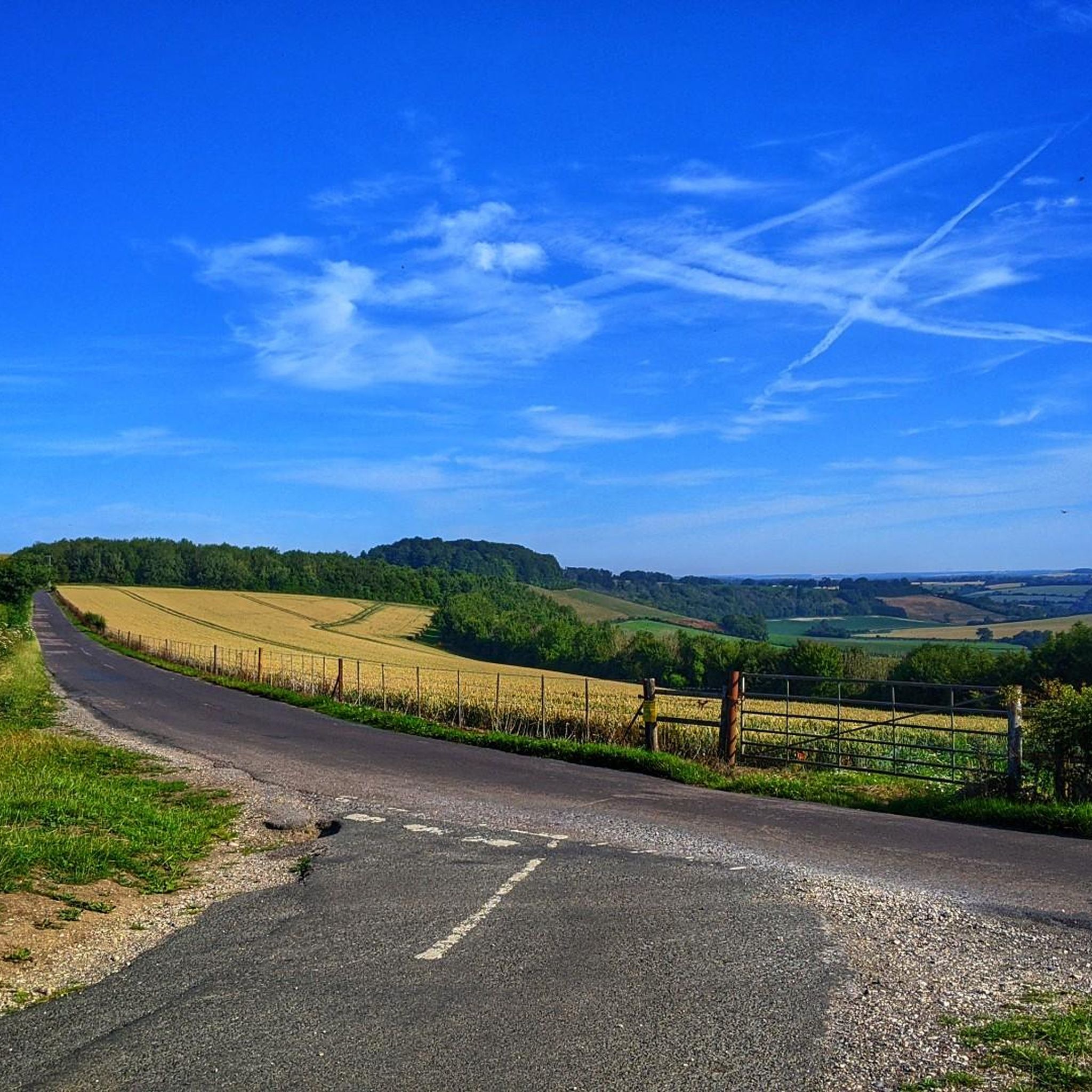
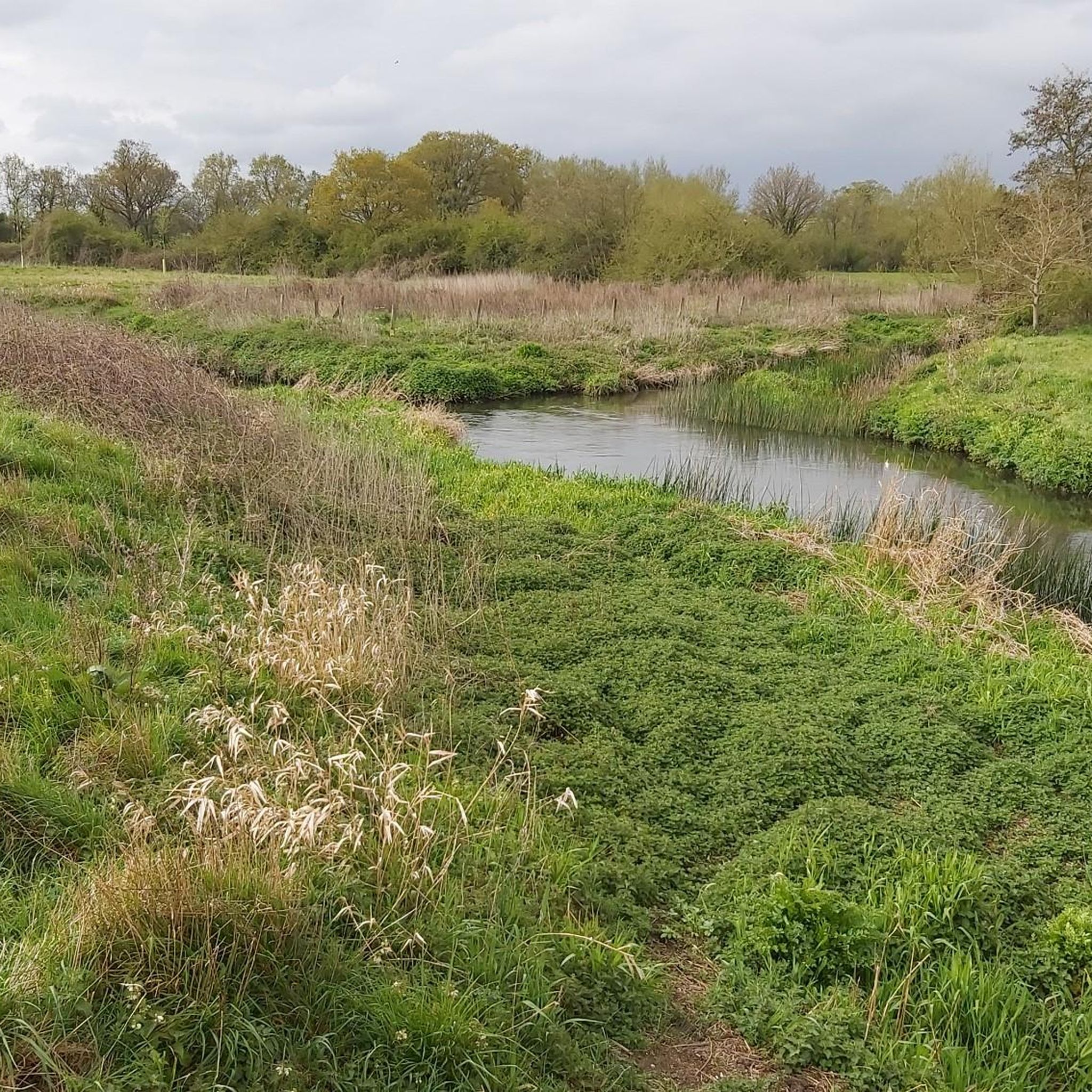
Hiking trails around Stratfield Turgis traverse a landscape characterized by the meandering River Loddon, ancient woodlands, and rolling farmland. The area features a network of paths that incorporate historical elements, including sections of an old Roman road. This region in northeast Hampshire offers diverse natural environments for outdoor exploration.
Best hiking trails around Stratfield Turgis
- The most popular hiking route is Waymarker for the Roman Town Trail – Silchester Trail waymarker loop from Bramley, a 6.5 miles (10.4 km) trail that takes 2 hours 42 minutes to complete. This moderate route follows historical paths linked to the Roman era.
- Another top favourite among local hikers is Path Through the Field – Waymarker for the Roman Town Trail loop from Bramley, a moderate 7.8 miles (12.6 km) path. This trail leads through open fields and along sections of the Roman Town Trail.
- Local hikers also love the The Church of Peace loop from Stratfield Turgis, a 4.2 miles (6.8 km) trail leading through the village and past the historic Church of Peace, often completed in about 1 hour 45 minutes.
- Hiking around Stratfield Turgis is defined by ancient woodlands, the River Loddon, and historical Roman routes. The network of trails offers options for various ability levels, from easy village strolls to more moderate paths.
- The routes in Stratfield Turgis are highly rated by the komoot community with an average score of 4.5 stars from over 600 reviews. More than 5000 hikers have used komoot to explore Stratfield Turgis's varied terrain.
Last updated: August 18, 2026
5.0
(1)
21
hikers
10.5km
02:43
60m
60m
Moderate hike. Good fitness required. Easily-accessible paths. Suitable for all skill levels.
4.5
(8)
17
hikers
6.82km
01:45
30m
30m
Easy hike. Great for any fitness level. Easily-accessible paths. Suitable for all skill levels.

Sign up for free
15
hikers
4.01km
01:01
10m
10m
Easy hike. Great for any fitness level. Easily-accessible paths. Suitable for all skill levels.
10
hikers
Moderate hike. Good fitness required. Easily-accessible paths. Suitable for all skill levels.
13
hikers
5.51km
01:25
30m
30m
Easy hike. Great for any fitness level. Easily-accessible paths. Suitable for all skill levels.
Get access to more routes and recommendations from other explorers.
Sign up for free
Already have an account?
Our route recommendations are based on thousands of hikes, rides, and runs completed by other people on komoot.
Start today with a free account
Your next adventure awaits.
Login or Signup
Tips from the Community

Peaceful church in historic location. Open when I passed mid-afternoon on a Friday in May 2026
0
0
Church was open when I passed mid-afternoon on a Friday of May 2026. Peaceful atmosphere, tranquil setting. Cannot recall it if it has a pilgrim stamp, but definitely worth including a Camino Inglés itinerary
0
0
This is actually the abandoned church of All Saints, Stratfield Saye. Last used for worship in the 1960's. It cannot be enteted and most of the internal features have been removed for use elsewhere
0
0

This is silly, & a bit tasteless, but I was once told (jokingly albeit) that the man hole is for the un-dead to get in & out of their graves. It part of a happy memory from when I once waked here in February 2025 with someone very dear to me that I've since lost.
0
0

More history and details are here; https://www.nationalchurchestrust.org/church/st-james-bramley
0
0
Church interior has many medieval wall painting that have been uncovered;
0
0

Found inside the lovely church of St Mary’s near Silchester. Nil desperandum - my new motto for hills
0
0
Frequently Asked Questions
How many hiking trails are available around Stratfield Turgis?
Stratfield Turgis offers a wide selection of routes, with nearly 400 hiking trails to explore. These range from easy strolls through villages to more moderate paths across farmland and ancient woodlands.
Are there any easy or beginner-friendly hiking routes in Stratfield Turgis?
Yes, many trails are suitable for beginners. For an easy walk through the village and past a historic site, consider The Church of Peace loop from Stratfield Turgis, which is about 6.8 km. Another gentle option is the Bramley Village Bakery – St James' Church, Bramley loop from Bramley, a shorter 3.9 km route.
What kind of historical sites can I explore while hiking in the area?
Stratfield Turgis is rich in history. You can hike along sections of an old Roman road, which connected Silchester to London. Nearby, you can visit Calleva Atrebatum: Roman town and city walls to see crumbling Roman walls and an amphitheater. Another notable historical site is Odiham Castle Ruins, a 13th-century royal castle accessible via a pleasant towpath walk along the Basingstoke Canal.
Are there any circular hiking routes around Stratfield Turgis?
Many of the trails in Stratfield Turgis are circular, allowing you to start and end in the same location. A popular moderate circular route is the Waymarker for the Roman Town Trail – Silchester Trail waymarker loop from Bramley, which covers 10.4 km and follows historical paths.
Can I bring my dog on the hiking trails in Stratfield Turgis?
Many footpaths and rights of way in the Stratfield Turgis area are dog-friendly, especially those traversing farmland and ancient woodlands. Always keep dogs under control, particularly near livestock, and check local signage for any specific restrictions. The grounds of The Vyne, a National Trust property, also welcome dogs in certain areas.
What natural features will I encounter on hikes in this region?
The hiking trails in Stratfield Turgis showcase diverse natural beauty. You'll often find yourself walking alongside the meandering River Loddon, through ancient woodlands, and across rolling farmland that forms part of the expansive Wellington Estate. The area is also known for its biodiversity, including Sites of Importance to Nature Conservation (SINC's), and you might spot massive pollarded willows along some routes.
Are there any family-friendly walks suitable for children?
Yes, the area offers several shorter, easier routes perfect for families. The Bramley Village Bakery – St James' Church, Bramley loop from Bramley is a good option at under 4 km, offering a gentle stroll through the village. Many of the easy-rated trails are suitable for families looking for a pleasant outdoor experience.
Where can I find parking for hiking trails in Stratfield Turgis?
Parking is generally available in or near the villages that serve as starting points for many trails, such as Stratfield Turgis and Bramley. Specific parking details often depend on the individual route, so it's advisable to check the route description on komoot for designated parking areas or nearby public car parks.
What do other hikers enjoy most about the trails in Stratfield Turgis?
The trails around Stratfield Turgis are highly rated by the komoot community, with an average score of 4.5 stars from over 600 reviews. Hikers often praise the varied terrain, the blend of historical interest with natural beauty, and the well-maintained network of paths that make for enjoyable exploration.
Are there any pubs or cafes along the hiking routes?
The villages and hamlets within and around Stratfield Turgis, such as Spanish Green and Turgis Green, often feature local pubs or cafes where you can stop for refreshments. Some routes are specifically designed to pass by these establishments, offering a convenient break during your hike.
What is the best time of year to hike in Stratfield Turgis?
Stratfield Turgis offers enjoyable hiking year-round. Spring brings blooming wildflowers and fresh greenery, while autumn showcases vibrant foliage in the ancient woodlands. Summer is ideal for longer days, and even winter walks can be picturesque, though some trails, especially those through fields, might be muddy after rain.
Are there any longer or more challenging hikes available?
While many routes are easy to moderate, there are options for longer walks. The Path Through the Field – Waymarker for the Roman Town Trail loop from Bramley is a moderate 12.6 km route that takes over three hours to complete, offering a more extended experience through open fields and historical paths.
Most popular attractions around Stratfield Turgis

Get inspired with the komoot mobile app


Explore more
Browse the best Hikes in other regions.
