The best mountain hikes around Ohlsdorf
4.7
(202)
3,190
hikers
34
hikes
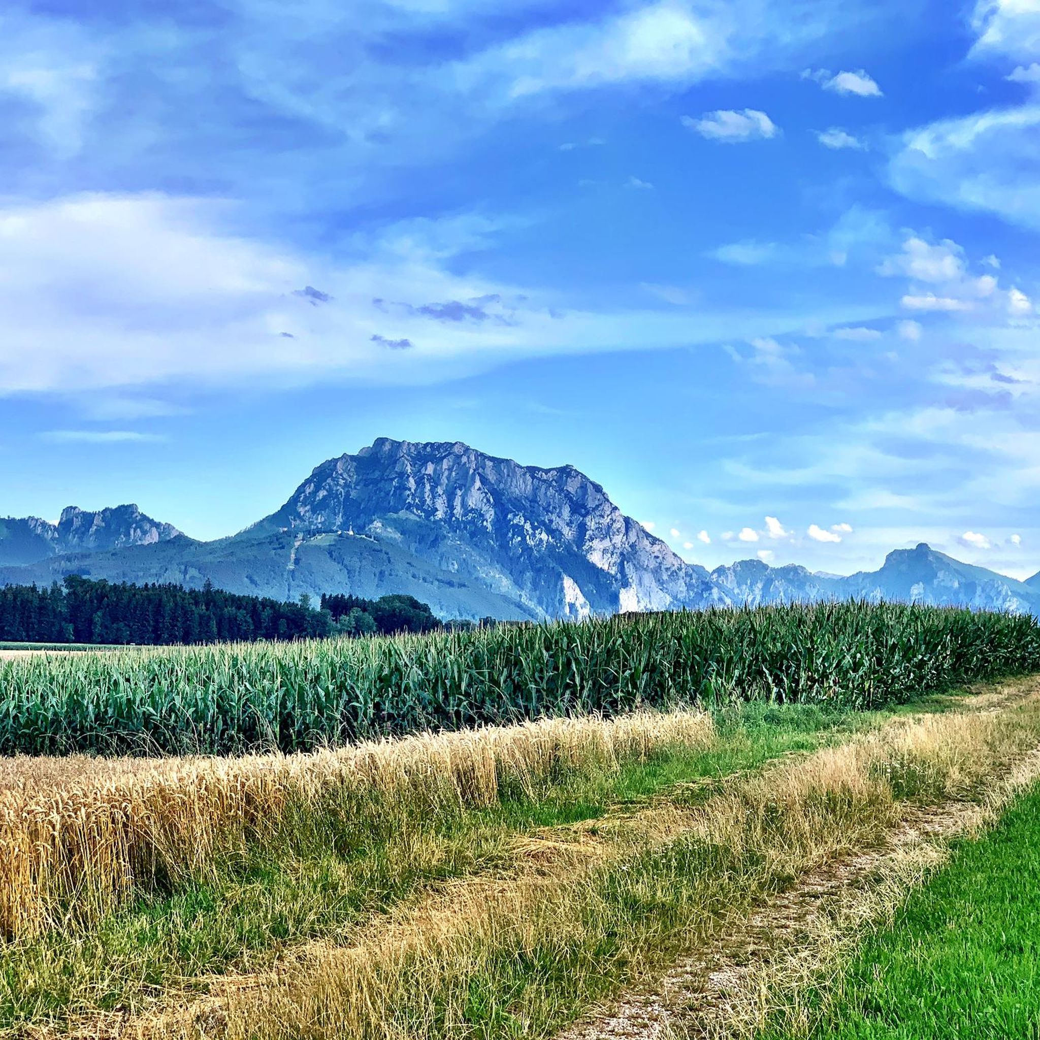
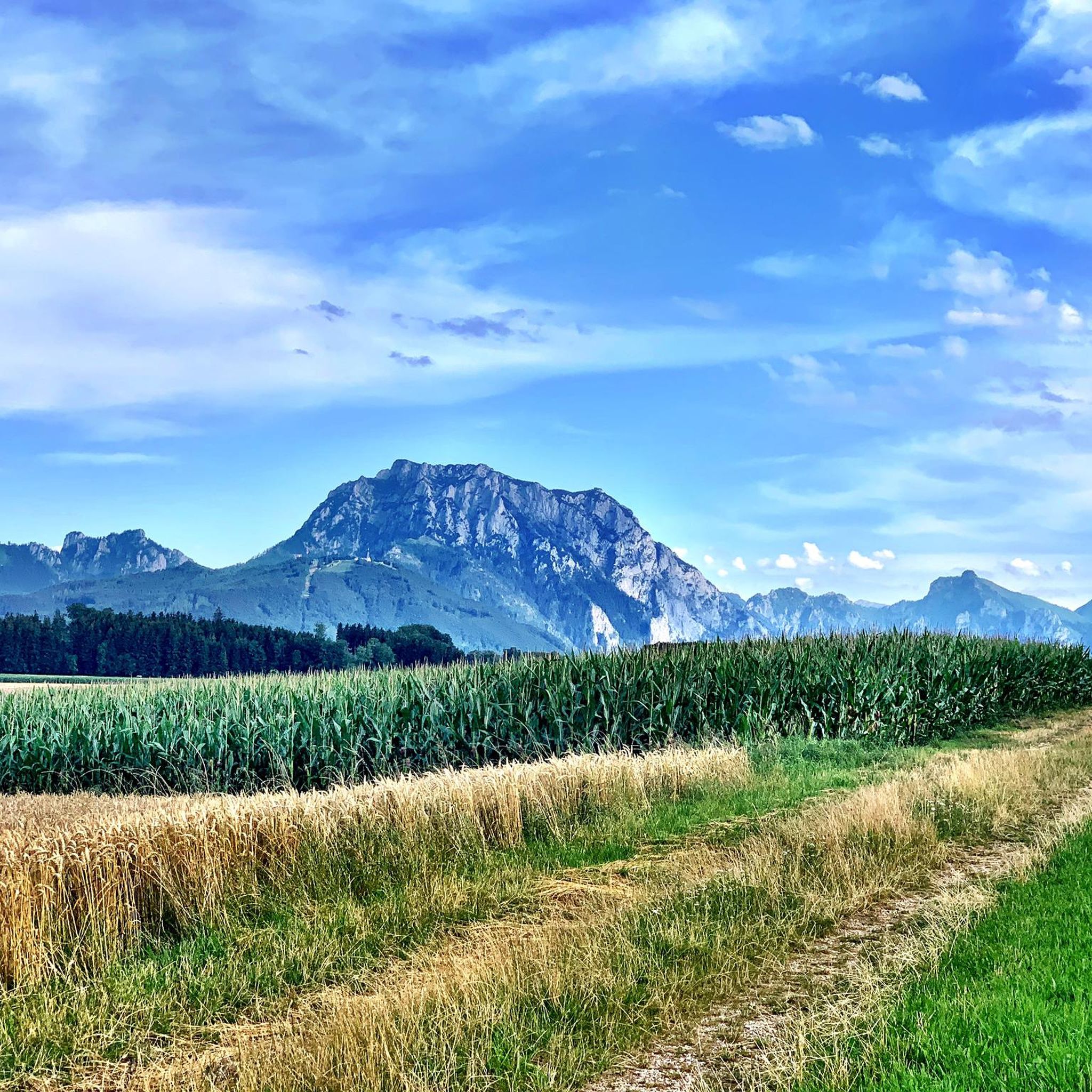
Mountaineering routes around Ohlsdorf are situated in the mountainous region of Bezirk Gmunden, characterized by prominent peaks and alpine landscapes. The area features diverse terrain, including summit crosses, high-altitude pastures, and views of large lakes like Traunsee. These routes often involve significant elevation gains, leading through varied environments suitable for experienced mountaineers.
Best mountaineering routes around Ohlsdorf
- The most popular mountaineering route is Katzenstein Summit Cross (1,349 m) – Ramsaualm at Laudachsee loop from In der Klamm, a 6.8…
Last updated: October 5, 2026
4.8
(12)
159
hikers
10.8km
04:40
650m
650m
Hard mountaineering route. Good fitness required. Sure-footedness, sturdy shoes and alpine experience required.
5.0
(3)
103
hikers
8.67km
06:44
1,170m
1,170m
Hard mountaineering route. Very good fitness required. Sure-footedness, sturdy shoes and alpine experience required.

4.7
(3)
60
hikers
12.4km
04:51
660m
660m
Hard mountaineering route. Good fitness required. Sure-footedness, sturdy shoes and alpine experience required.
5.0
(4)
50
hikers
9.97km
03:55
450m
450m
Hard mountaineering route. Good fitness required. Sure-footedness, sturdy shoes and alpine experience required.
5.0
(1)
32
hikers
21.5km
08:00
1,140m
1,140m
Hard mountaineering route. Very good fitness required. Sure-footedness, sturdy shoes and alpine experience required.
Get access to more routes and recommendations from other explorers.
Already have an account?
Our route recommendations are based on thousands of hikes, rides, and runs completed by other people on komoot.
Start today with a free account
Your next adventure awaits.
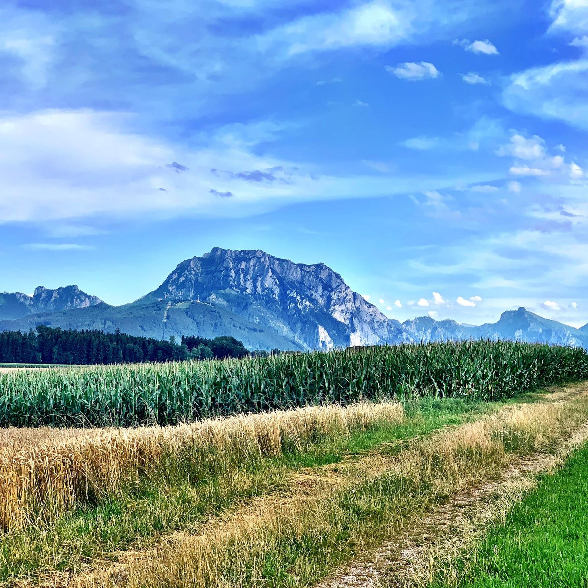
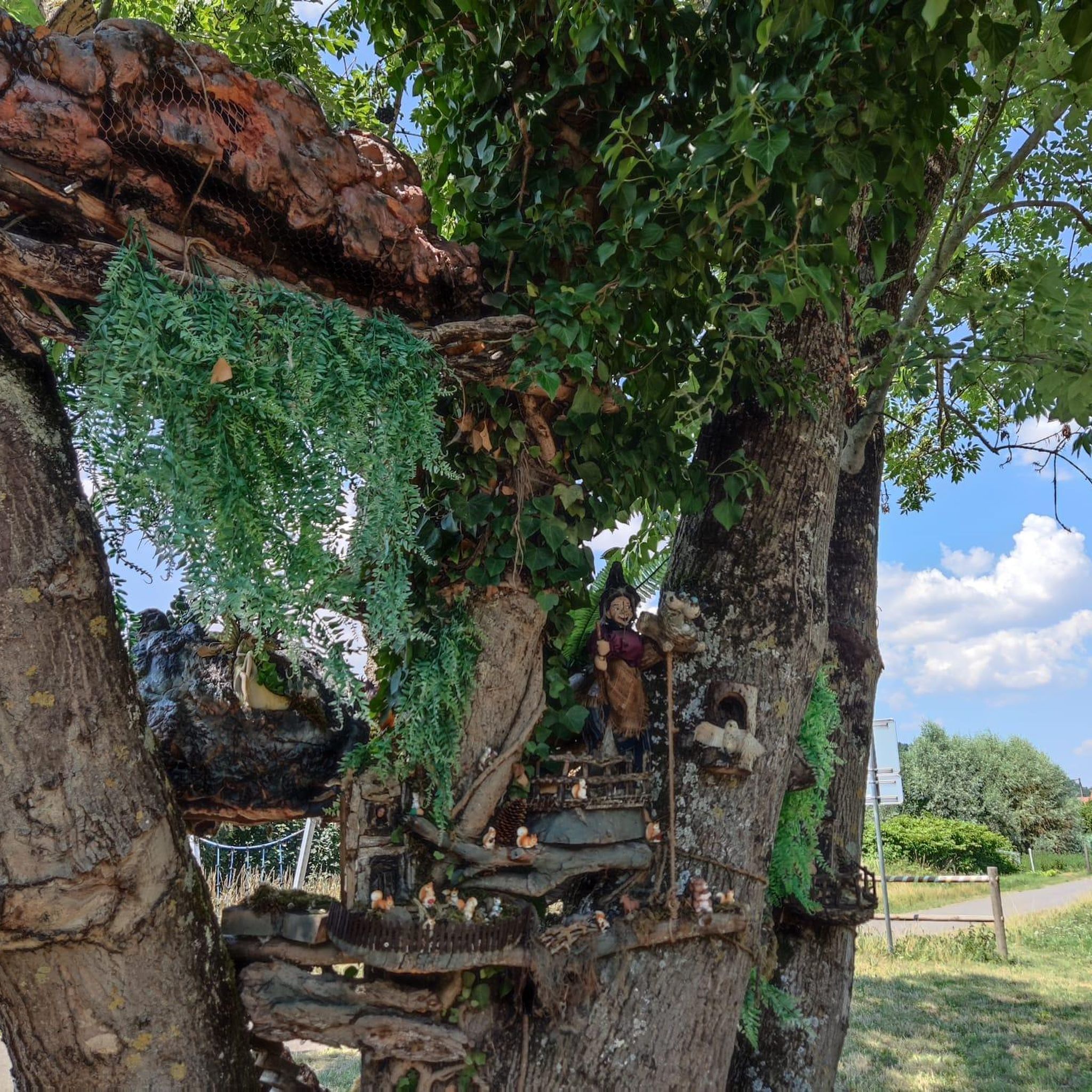
Tips from the Community

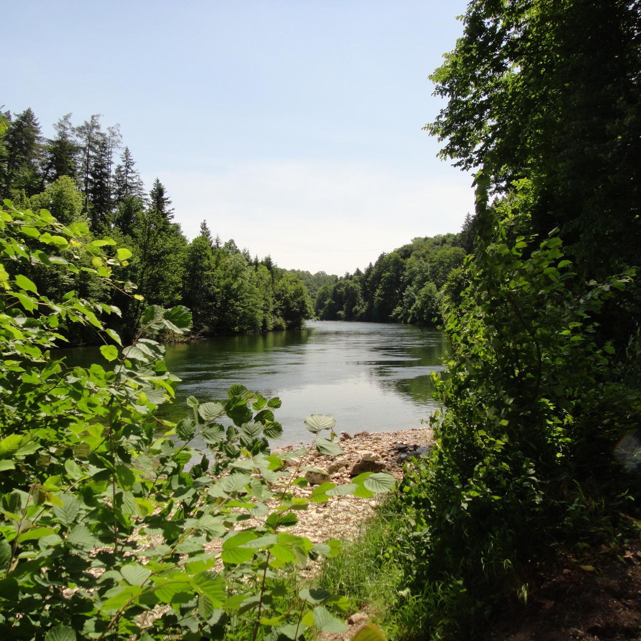
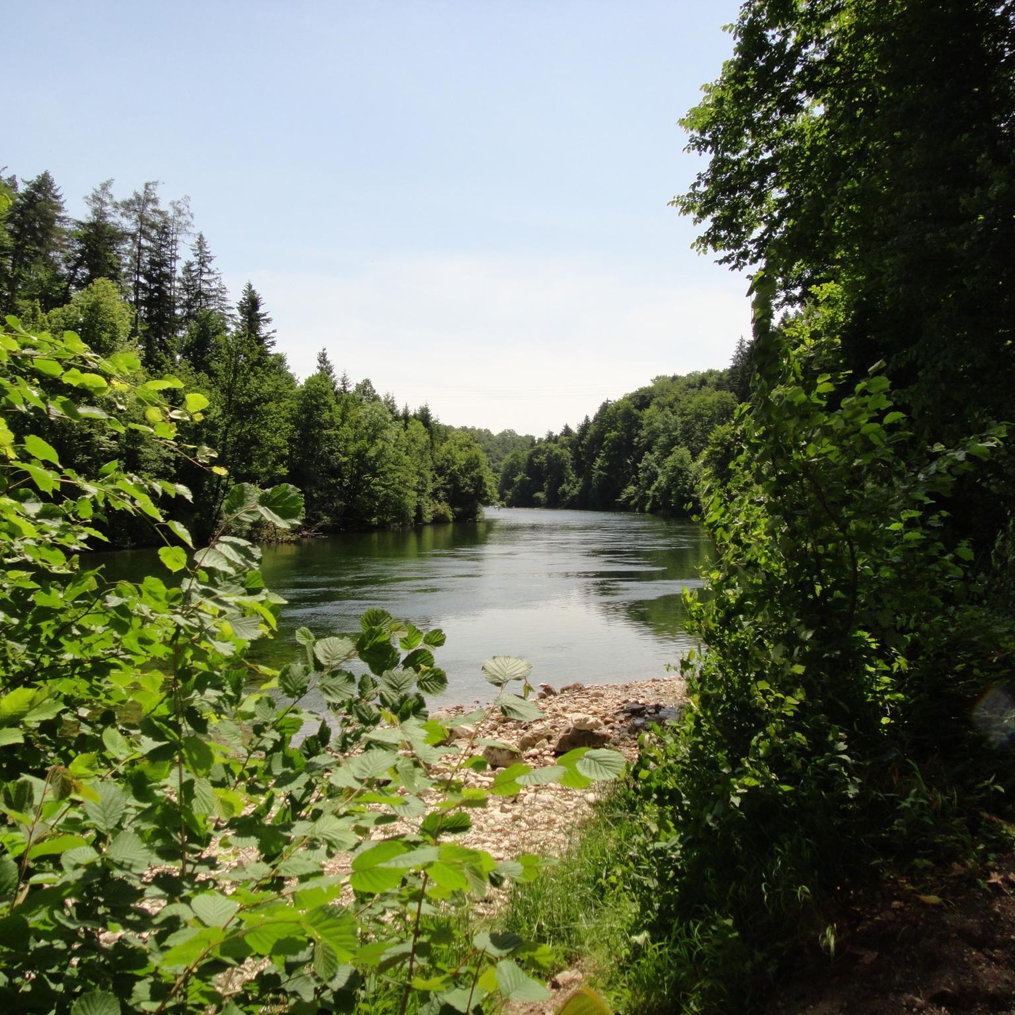
Great destination for an outing, I also recommend swimming (but swim relatively quickly here, as it is very muddy).
0
0

nicely laid out and well secured path
0
0
beautiful view of the lake and the Dachstein
0
0

The Lainautunnel is a two-part, 510-meter-long breakthrough through the west wall of the Traunstein, as well as a bridge over the Lainau. It is accessible to foresters and hikers.
0
0

The Alpine Mieswegsteig is a very beautiful and scenic trail along Lake Traunsee. It's also suitable for older children with surefootedness.
2
0


There are benches at various viewing points for resting.
2
0
For experienced mountain hikers, it is a great ascent in the Gamsluck'n, mostly on all fours, with fantastic views from the summit to the Totes Gebirge, Dachstein massif, and Höllengebirge.....
2
0
Frequently Asked Questions
How many mountaineering routes are available around Ohlsdorf?
There are over 30 distinct mountaineering routes around Ohlsdorf, offering a wide range of options for different skill levels and preferences.
Are there any easy mountaineering routes suitable for beginners or families?
While many routes in the Ohlsdorf area are challenging, there are a few easier options. For instance, you can find routes that are less demanding, though specific 'easy' mountaineering routes are limited. The region is generally characterized by more moderate to difficult terrain.
What are the typical distances and elevation gains for mountaineering routes in Ohlsdorf?
Mountaineering routes around Ohlsdorf vary significantly. You can expect distances ranging from approximately 6 miles (9.6 km) to over 13 miles (21 km), with elevation gains from around 450 meters (1,476 ft) to over 1200 meters (3,937 ft). For example, the Kleiner Schönberg – Summit Cross Kleiner Schönberg loop from Gmunden Gh Ramsau covers about 6.2 miles (10 km) with 449 meters of ascent.
Are there any circular mountaineering routes in the Ohlsdorf area?
Yes, many mountaineering routes around Ohlsdorf are designed as loops, allowing you to start and finish at the same point. Examples include the challenging Katzenstein Summit Cross (1,349 m) – Ramsaualm at Laudachsee loop from In der Klamm or the demanding Traunsee Via Ferrata – Traunstein summit cross loop from Gmunden Gh Ramsau.
What kind of scenic viewpoints can I expect on these routes?
The mountaineering routes around Ohlsdorf are renowned for their stunning vistas. You'll often encounter panoramic views of large lakes like Traunsee and Laudachsee, as well as impressive summit crosses and high-altitude pastures. The Ramsaualm at Laudachsee – View of Lake Traunsee loop from Schloss Weyer specifically highlights views of Lake Traunsee.
What is the best season for mountaineering around Ohlsdorf?
The best season for mountaineering in Ohlsdorf is typically from late spring to early autumn (May to October), when the weather is generally stable, and trails are clear of snow. However, conditions can vary, so always check local forecasts and trail reports before heading out.
Are there any challenging routes for experienced mountaineers?
Absolutely. Ohlsdorf is known for its challenging mountaineering terrain. Over 20 of the routes are classified as difficult, featuring significant elevation gains, rocky sections, and sometimes via ferrata elements. The Traunsee Via Ferrata – Traunstein summit cross loop from Gmunden Gh Ramsau is a prime example of a demanding route for experienced individuals.
What interesting natural attractions can I see along the mountaineering routes?
Along the routes, you can discover several natural highlights. Keep an eye out for beautiful bodies of water like Lake Laudach, impressive summits such as Steineck, and the unique Siebenbrünnlein Springs. You might also encounter the powerful Traunfall Waterfall or explore the serene Kaltenbach Gorge.
What do other mountaineers enjoy most about the routes in Ohlsdorf?
The mountaineering routes in Ohlsdorf are highly rated by the komoot community, with an average score of 4.7 stars from over 170 reviews. Reviewers often praise the diverse terrain, the challenging ascents to summit crosses, and the breathtaking views of the surrounding alpine landscapes and lakes.
Are there options for parking near the trailheads?
Many popular trailheads around Ohlsdorf, especially those starting from locations like Gmunden Gh Ramsau or In der Klamm, typically offer designated parking areas. It's advisable to check specific route descriptions for detailed parking information before your trip.
Can I reach mountaineering trailheads using public transport?
While some trailheads might be accessible via regional bus services or train stations in nearby towns like Gmunden, direct public transport to every starting point can be limited. Planning your route in advance and checking local transport schedules is recommended if you intend to rely on public transport.
What are the characteristics of the terrain in Ohlsdorf for mountaineering?
The terrain around Ohlsdorf is diverse and typically alpine. You'll encounter challenging mountain peaks, rocky sections, high-altitude pastures, and forests. Routes often involve significant ascents and descents, sometimes with exposed sections or via ferrata elements, requiring good physical condition and appropriate gear.
Most popular routes around Ohlsdorf
Most popular attractions around Ohlsdorf

Get inspired with the komoot mobile app


Explore more
Browse the best Mountain Hikes & Routes in other regions.
