The best mountain hikes around Grundlsee
4.7
(238)
3,852
hikers
75
hikes
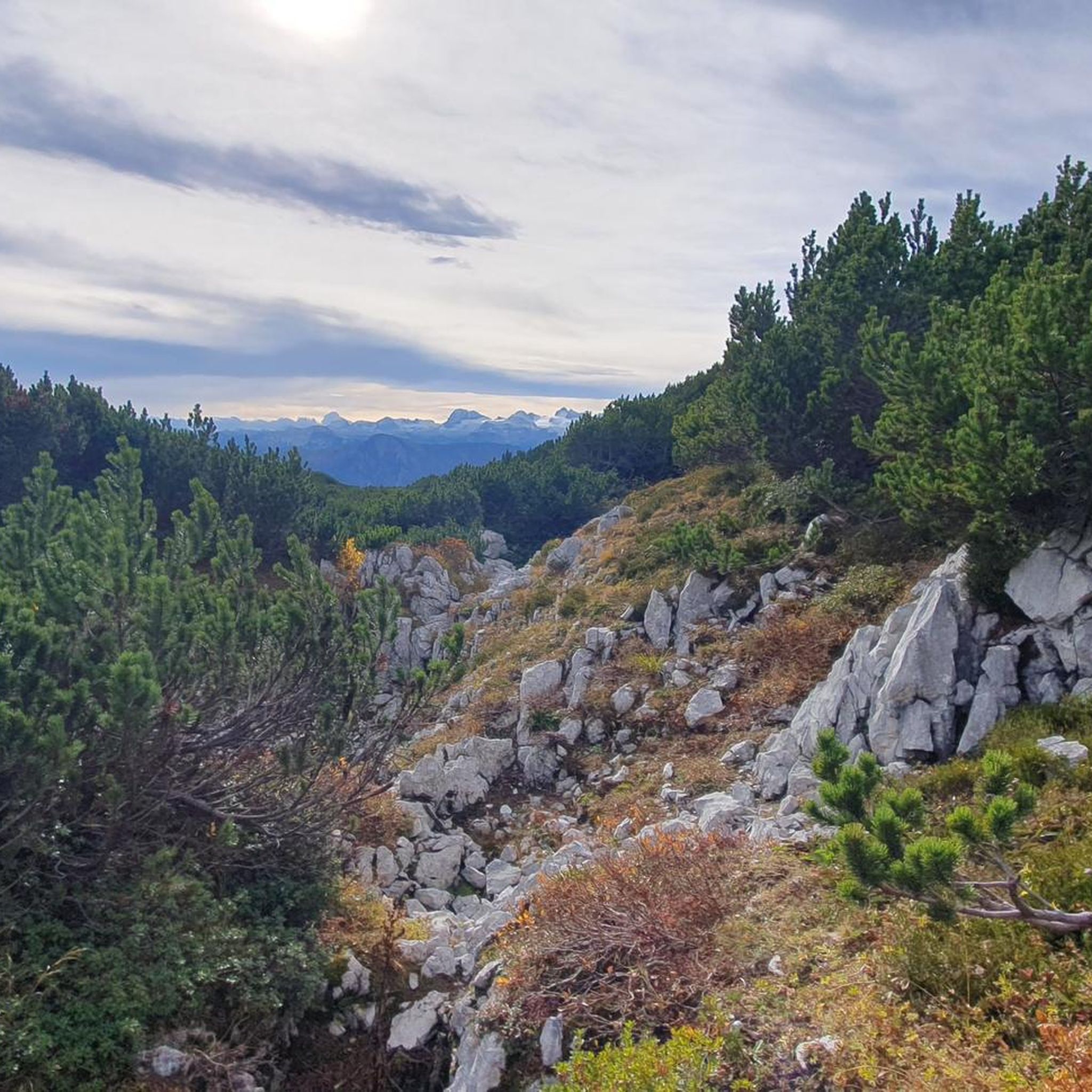
Mountaineering routes around Grundlsee are set within the Styrian Salzkammergut, a region characterized by the impressive Totes Gebirge mountain range and its unique karst landscapes. The area features prominent peaks like the Trisselwand and Backenstein, offering challenging ascents and expansive views. Clear mountain lakes, dense forests, and alpine pastures further define the diverse terrain, providing varied environments for mountaineering.
Best mountaineering routes around Grundlsee
- The most popular mountaineering route is Trisselwand Summit – View from Trisselberg loop from Altausseer See…
Last updated: July 5, 2026
4.7
(14)
226
hikers
7.81km
04:25
750m
750m
Hard mountaineering route. Good fitness required. Sure-footedness, sturdy shoes and alpine experience required.
5.0
(3)
53
hikers
14.8km
06:36
1,020m
1,020m
Hard mountaineering route. Very good fitness required. Sure-footedness, sturdy shoes and alpine experience required.

Sign up for free
4.7
(3)
33
hikers
16.0km
06:58
1,050m
1,050m
Hard mountaineering route. Very good fitness required. Sure-footedness, sturdy shoes and alpine experience required.
17
hikers
Moderate mountaineering route. Great for any fitness level. Mostly accessible paths. Sure-footedness required.
5.0
(1)
11
hikers
6.62km
02:34
380m
380m
Moderate mountaineering route. Good fitness required. Mostly accessible paths. Sure-footedness required.
Get access to more routes and recommendations from other explorers.
Sign up for free
Already have an account?
Our route recommendations are based on thousands of hikes, rides, and runs completed by other people on komoot.
Start today with a free account
Your next adventure awaits.
Login or Signup
Popular around Grundlsee

North Alpine Trail 01 – Hike across Austria in 49 days
BergeSeen Trail – Long distance hiking in Austria's Salzkammergut with mountains and lakes galore
Cycling like a Kaiser – From lake to lake in Austria's Salzkammergut
Lower Austria to Carinthia — our favourite huts in Austria
Explore the Salzkammergut on the BergeSeen Trail
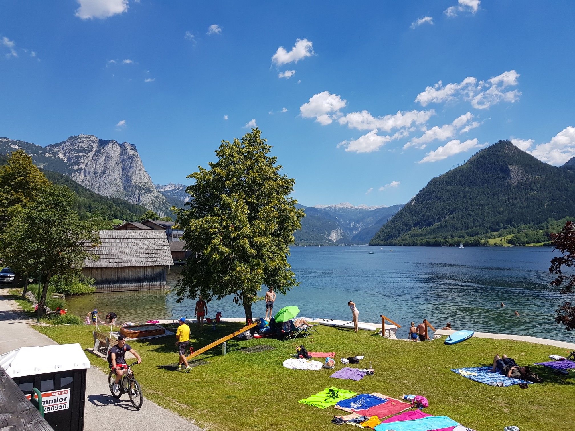
Austria's sensational swimming lakes
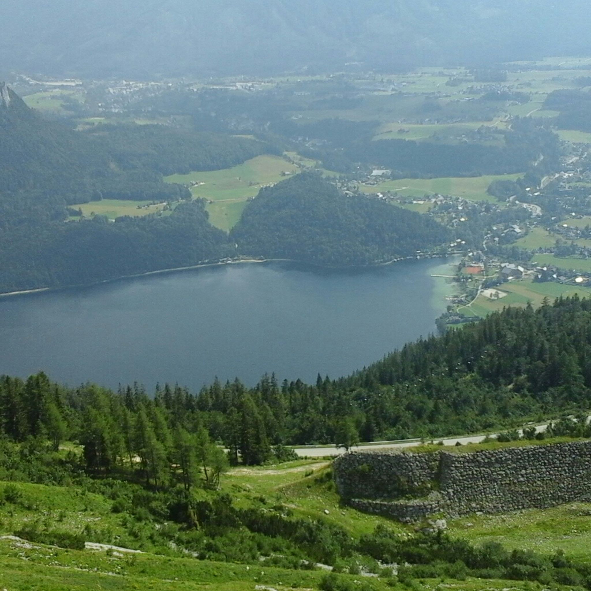
Hiking around Grundlsee
Cycling around Grundlsee
Road Cycling Routes around Grundlsee
MTB Trails around Grundlsee
Other adventures around Grundlsee


Tips from the Community

beautiful, but completely overcrowded
0
0

We used the boat on the Berge Seen Trail (6th and last stage) and used the time saved to go swimming.
0
0

The Ahornkogel can be reached in 5 minutes from the hiking trail to the Trisselwand.
0
0
Magnificent views of the Dachstein glacier, Totes Gebirge with Loser, Grimming, Schladminger Tauern, Grundsee and Altaussee and many more.
0
0

Fantastic view from the Totes Gebirge over the Loser and Altausseer See to the Dachstein glacier
0
0

Fees apply and can be paid with EC card.
0
0
From here you start the hike to the Trisselwand.
2
0
Frequently Asked Questions
What kind of terrain can I expect on mountaineering routes around Grundlsee?
The terrain around Grundlsee is incredibly diverse, ranging from high alpine karst landscapes in the Totes Gebirge to serene forests and alpine pastures. You'll encounter prominent peaks, deep sinkholes, and unique geological formations, alongside crystal-clear mountain lakes. Routes can vary from moderate ascents to challenging multi-day alpine treks, requiring sure-footedness and alpine experience.
Are there any circular mountaineering routes in the Grundlsee area?
Yes, many routes are designed as loops, allowing you to start and end at the same point. For example, the Trisselwand Summit – View from Trisselberg loop from Altausseer See offers direct views of the Trisselwand summit, while the Summit Cross – Backenstein – Backenstein Summit (1,772 m) loop from Grundlsee takes you to the Backenstein summit with comprehensive views of the 'Sea of the Styrians'.
What are some notable natural features or landmarks to look out for on these routes?
The region is rich in natural beauty. You might encounter impressive karst landscapes, deep sinkholes, and wind holes within the Totes Gebirge. Specific highlights include the Gumpen cascades in the Schwarzgraben and the powerful Stromboding Waterfall. The area is also known for its beautiful lakes, such as Grundlsee, Toplitzsee, Kammersee, and the Lahngang lakes.
Are there any routes suitable for beginners or those looking for a moderate challenge?
While many mountaineering routes in Grundlsee are difficult, there are options for those seeking a moderate challenge. For instance, the View of Grundlsee loop from Altausseer See is a moderate route that provides beautiful vistas without the extreme demands of high alpine treks. There are 5 moderate routes available in total.
What is the best time of year for mountaineering in Grundlsee?
The best time for mountaineering around Grundlsee is generally from late spring to early autumn (May to October). During these months, the weather is more stable, and trails are typically free of snow, making high alpine routes more accessible. Always check local weather conditions before heading out, as conditions can change rapidly in the mountains.
Are there mountain huts available for overnight stays on longer routes?
Yes, the region is well-equipped with strategically located alpine huts that serve as crucial bases and overnight accommodations. Notable huts include the Pühringerhütte, Albert Appelhaus, Loserhütte, and Ischler Hütte. The Pühringerhütte, for example, is a popular base for reaching summits like Elm and Rotgschirr, and is passed on the Pühringerhütte – Elmsee loop from Toplitzsee.
What do other mountaineers enjoy most about the routes in Grundlsee?
The mountaineering routes in Grundlsee are highly rated by the komoot community, with an average score of 4.7 stars from over 260 reviews. Mountaineers often praise the breathtaking panoramic views from peaks like Loser Summit and Trisselwand, the unique karst landscapes of the Totes Gebirge, and the serene beauty of the mountain lakes.
Are there any specific peaks or summits that offer exceptional views?
Absolutely. The Loser Summit (1837 m) offers stunning vistas of Lake Altaussee and the Dachstein. The Trisselwand (1754 m) provides impressive deep views, and the Backenstein (1772 m) gives comprehensive views of the 'Sea of the Styrians'. Other prominent summits in the wider Totes Gebirge include Elm and Rotgschirr.
Is it possible to combine mountaineering with other activities like exploring gorges or canyons?
Yes, the region offers diverse natural attractions. You can explore nearby gorges and canyons, such as those mentioned in the Gorges around Grundlsee guide. Highlights like the Soleleitungsweg Tunnel and the Grabenbach are examples of the varied natural features you can discover.
How many mountaineering routes are there in total around Grundlsee?
There are 12 mountaineering routes available around Grundlsee, offering a range of experiences from moderate ascents to challenging high alpine treks.
Are there any long-distance hiking trails that pass through the Grundlsee region?
Yes, the Grundlsee region is part of significant long-distance trails. These include the BergeSeen Trail, the Welser Höhenweg, and the North Alpine Trail 01. A multi-day long-distance hike through the Totes Gebirge, from Tauplitzalm to Lake Altaussee, combines high alpine experiences with cultural insights and comfortable mountain huts.
Most popular routes around Grundlsee
Most popular attractions around Grundlsee

Get inspired with the komoot mobile app


Explore more
Browse the best Mountain Hikes & Routes in other regions.
