The best walks and hikes around Brentor
4.5
(743)
5,168
hikers
198
hikes
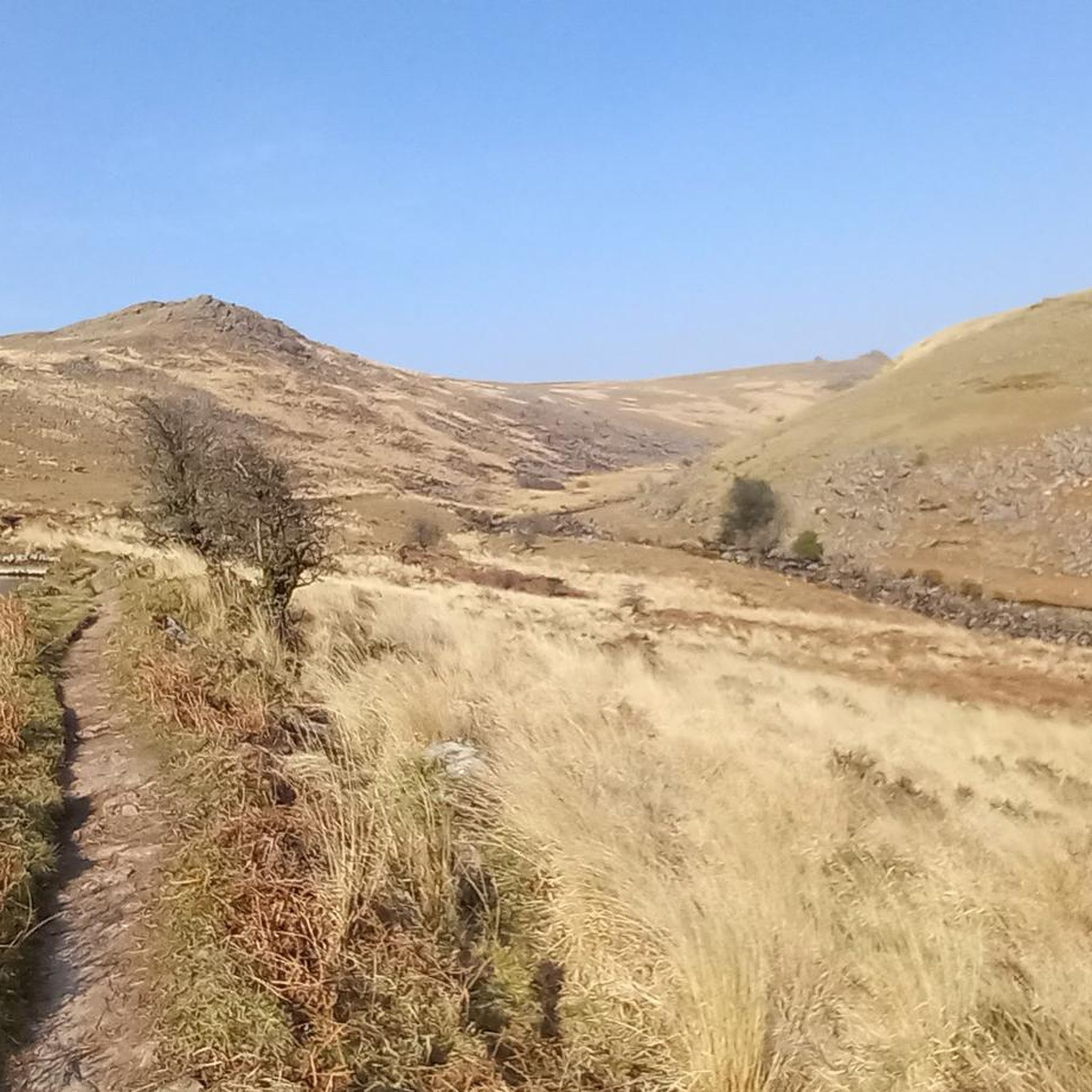
Hikes around Brentor explore the western edge of Dartmoor National Park. The region is characterized by wild, open moorland, deep river valleys like Lydford Gorge, and the prominent volcanic cone of Brent Tor. The terrain offers a mix of riverside paths, woodland trails, and more challenging ascents to the area's tors.
Best hiking trails around Brentor
- The most popular hiking route is Lydford Castle & Whitelady Waterfall loop of Lydford Gorge — Dartmoor National Park, a 3.4 mile (5.4 km) trail that takes around 1 hour 25 minutes to complete. This route features the White Lady Waterfall and follows paths through the gorge.
- Another top favourite among local hiking enthusiasts is Lydford Gorge – Whitelady Waterfall loop from White Lady Waterfall, a moderate 4.6 mile (7.5 km) path. This circular walk around Brentor provides a longer exploration of the gorge's varied scenery.
- Local hiking enthusiasts also love the Lydford Castle – Devil's Cauldron Gorge loop from Lydford, a 6.3 mile (10.1 km) trail leading through the Lydford area, often completed in about 2 hours 50 minutes.
- Hiking around Brentor is defined by open moorland, deep river gorges, and ascents to granite and volcanic tors. The network of trails provides options for different ability levels, from easy riverside walks to more strenuous hikes on the moor.
- The routes in Brentor are highly rated by the komoot community with an average score of 4.5 stars from over 580 reviews. More than 4,300 hikers have used komoot to explore Brentor's varied terrain.
Last updated: July 10, 2026
3.9
(18)
279
hikers
Easy hike. Great for any fitness level. Easily-accessible paths. Suitable for all skill levels.
5.0
(3)
7
hikers
12.7km
03:38
310m
300m
Moderate hike. Good fitness required. Easily-accessible paths. Suitable for all skill levels.

Sign up for free
5.0
(2)
5
hikers
14.1km
04:00
310m
310m
Moderate hike. Good fitness required. Easily-accessible paths. Suitable for all skill levels.
6
hikers
20.2km
05:43
430m
430m
Hard hike. Very good fitness required. Easily-accessible paths. Suitable for all skill levels.
5
hikers
3.42km
00:54
30m
30m
Easy hike. Great for any fitness level. Easily-accessible paths. Suitable for all skill levels.
Get access to more routes and recommendations from other explorers.
Sign up for free
Already have an account?
Our route recommendations are based on thousands of hikes, rides, and runs completed by other people on komoot.
Start today with a free account
Your next adventure awaits.
Login or Signup
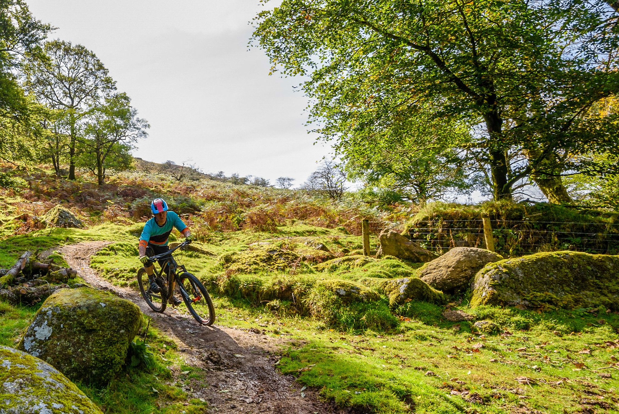
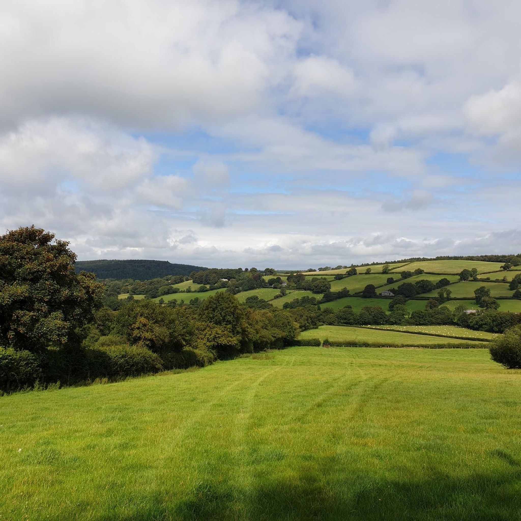
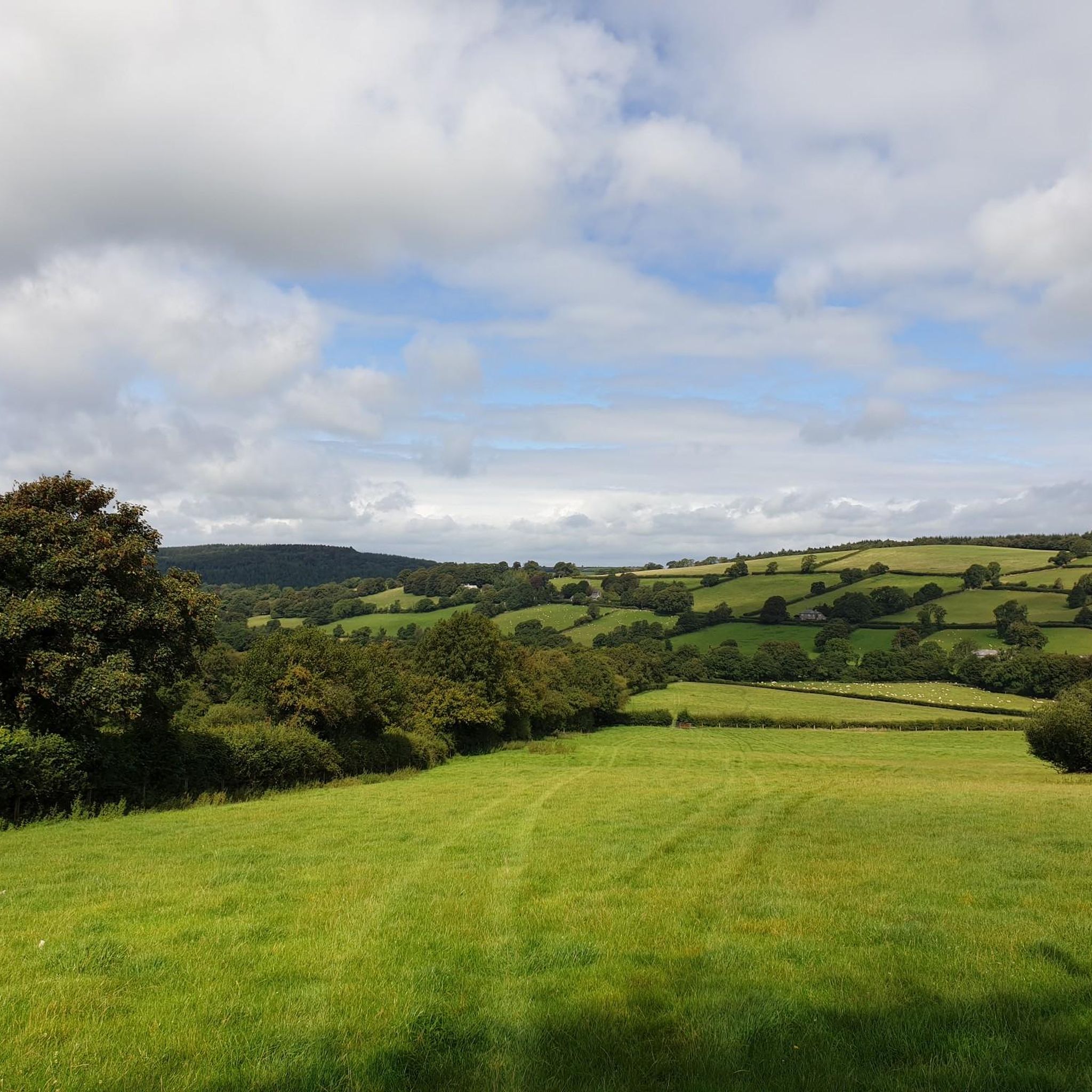
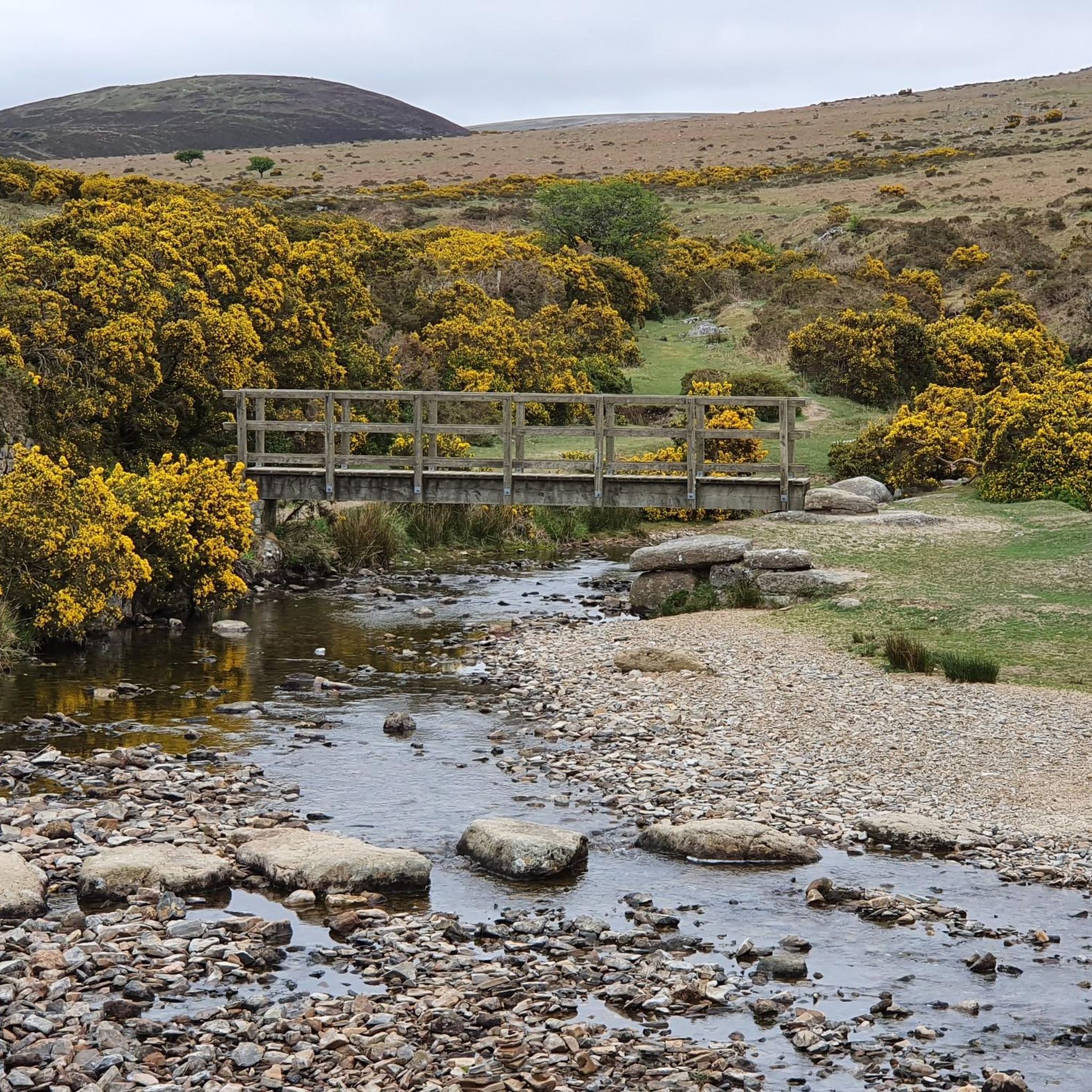

Other adventures around Brentor

Tips from the Community

Gibbet Hill 353m P40 (1158ft) [List Objective: Kents] (DoBIH Hill ID: 17517) [JNSA 11442] Dartmoor National Park Definitive List summit.
0
0


Directly at the bridge, the river is dammed slightly, so that a wonderful swimming pool was created there
0
0

Beautiful area fairly steep path climb up, but well worth it and rewarding
0
0

The section that is worth seeing 😬
7
0
So if you're in the area and willing to pay the entrance fee, then you can take a look. If you don't see it, you're not missing much. It's really just a small area that's well worth seeing. But I have to be fair ☝️... ... the circular trail was closed because of a landslide. So we're missing half of the trail. Maybe the other half would have changed our minds. For people who spend a lot of time in nature, it's OK, nothing more. I hope I'm not lynched here now 😬🙈. There's really beautiful nature in Dartmoor and it's free too 😉.
7
0
Quite nice 😏. If you pass by you can take it with you, you don't have to go there specially 😬.
8
0
Frequently Asked Questions
Are there many hiking trails to choose from around Brentor?
Yes, there's a wide variety of trails. You can explore over 200 routes in the Brentor area, with a good balance of easy, moderate, and difficult hikes to suit different fitness levels.
What do other hikers enjoy most about the Brentor area?
The region is highly rated by the komoot community. Hikers often praise the dramatic landscapes, from the unique volcanic cone of Brent Tor to the deep river valleys. The mix of wild, open moorland and sheltered woodland paths is a frequently mentioned highlight.
Are there any easy, family-friendly walks near Brentor?
Definitely. For a memorable and relatively easy outing, the Large Mushroom Sculpture – Whitelady Waterfall loop is a great choice. It's a short walk that's perfect for families, taking you through part of the scenic Lydford Gorge.
Can I take my dog on hikes around Brentor?
Yes, many trails in the area are suitable for dogs. However, you'll be walking in Dartmoor National Park, so be aware of livestock and ground-nesting birds, especially between March and July. It's best to keep your dog on a lead in these areas. The trails around the various tors are generally open and great for dogs with good recall.
Where can I find a hike with a waterfall?
Lydford Gorge is the best place for that. It's home to the spectacular 30-meter-high White Lady Waterfall. The Lydford Castle & Whitelady Waterfall loop is an excellent route that features this impressive natural wonder.
What is the terrain like on the hikes around Brentor?
The terrain is very diverse. Expect steep but short climbs to the top of tors like Brent Tor itself, often on grassy or rocky paths. In Lydford Gorge, trails can be narrow and uneven with steps. Other routes across the moorland can be boggy in places, especially after rain, so waterproof hiking boots are essential.
Are there any challenging hikes for experienced walkers?
Yes, the area offers some demanding treks. For a full day of challenging moorland hiking with significant elevation gain, consider the Yes Tor summit – High Willhays summit loop from Lydford. This long-distance route takes you to the highest points in Dartmoor.
Where can I find a good circular walk?
There are many excellent circular routes. For a longer loop that explores the area's history and geology, the Lydford Castle – Devil's Cauldron Gorge loop from Lydford is a popular choice. It combines a visit to the dramatic gorge with views of the historic castle.
How difficult is the walk up to Brent Tor church?
The walk to St Michael de Rupe church on top of Brent Tor is short but steep. The path is well-defined but involves a sharp climb from the car park. While it requires a bit of effort, it's manageable for most people with a reasonable level of fitness and the panoramic views from the top are well worth it.
Is there parking available for the main hiking spots?
Yes, parking is available at key locations. There is a dedicated car park at the base of Brent Tor for the walk up to the church. For hikes in Lydford Gorge, the National Trust site has its own car park, though an entry fee or membership is required to access the trails. Other trailheads may have small, informal lay-bys.
Can I get to the Brentor area using public transport?
Reaching the trailheads directly by public transport can be challenging as the area is quite rural. Bus services connect nearby towns like Tavistock and Okehampton, but you may need to walk a considerable distance from the bus stop to the start of a hike. Using a car is generally the most convenient way to access the walks.
Are there any pubs or cafes for after a hike?
Yes, after exploring Lydford Gorge, you can visit the tearoom at the National Trust site for refreshments. The nearby village of Lydford also has a highly-regarded pub, the Castle Inn, which is a popular spot for a post-hike meal or drink.
Most popular routes around Brentor
Most popular attractions around Brentor

Get inspired with the komoot mobile app


Explore more
Browse the best Hikes in other regions.
