The best mountain hikes around Dolwyddelan
4.6
(7)
122
hikers
14
hikes
Mountaineering routes around Dolwyddelan are situated within the rugged landscape of Snowdonia, characterized by prominent peaks, glacial valleys, and numerous mountain lakes. The region features challenging ascents over rocky terrain, offering extensive views across the national park. This area is defined by its high-altitude environments and exposed ridges, providing a demanding experience for mountaineers.
Best mountaineering routes around Dolwyddelan
- The most popular mountaineering route is Llyn Llydaw – Snowdon Summit loop from Pen-y-Gwryd Hotel, a 9.6 miles (15.5 km)…
Last updated: October 11, 2026
36
hikers
6.74km
03:34
610m
610m
Hard mountaineering route. Good fitness required. Sure-footedness, sturdy shoes and alpine experience required.
4.5
(2)
9
hikers
19.6km
07:30
1,060m
1,060m
Hard mountaineering route. Very good fitness required. Sure-footedness, sturdy shoes and alpine experience required.

21
hikers
6.75km
03:02
560m
560m
Hard mountaineering route. Good fitness required. Sure-footedness, sturdy shoes and alpine experience required.
4.0
(2)
12
hikers
3.70km
02:42
550m
550m
Hard mountaineering route. Good fitness required. Sure-footedness, sturdy shoes and alpine experience required.
10
hikers
8.48km
03:47
580m
580m
Hard mountaineering route. Good fitness required. Sure-footedness, sturdy shoes and alpine experience required.
Get access to more routes and recommendations from other explorers.
Already have an account?
Our route recommendations are based on thousands of hikes, rides, and runs completed by other people on komoot.
Start today with a free account
Your next adventure awaits.
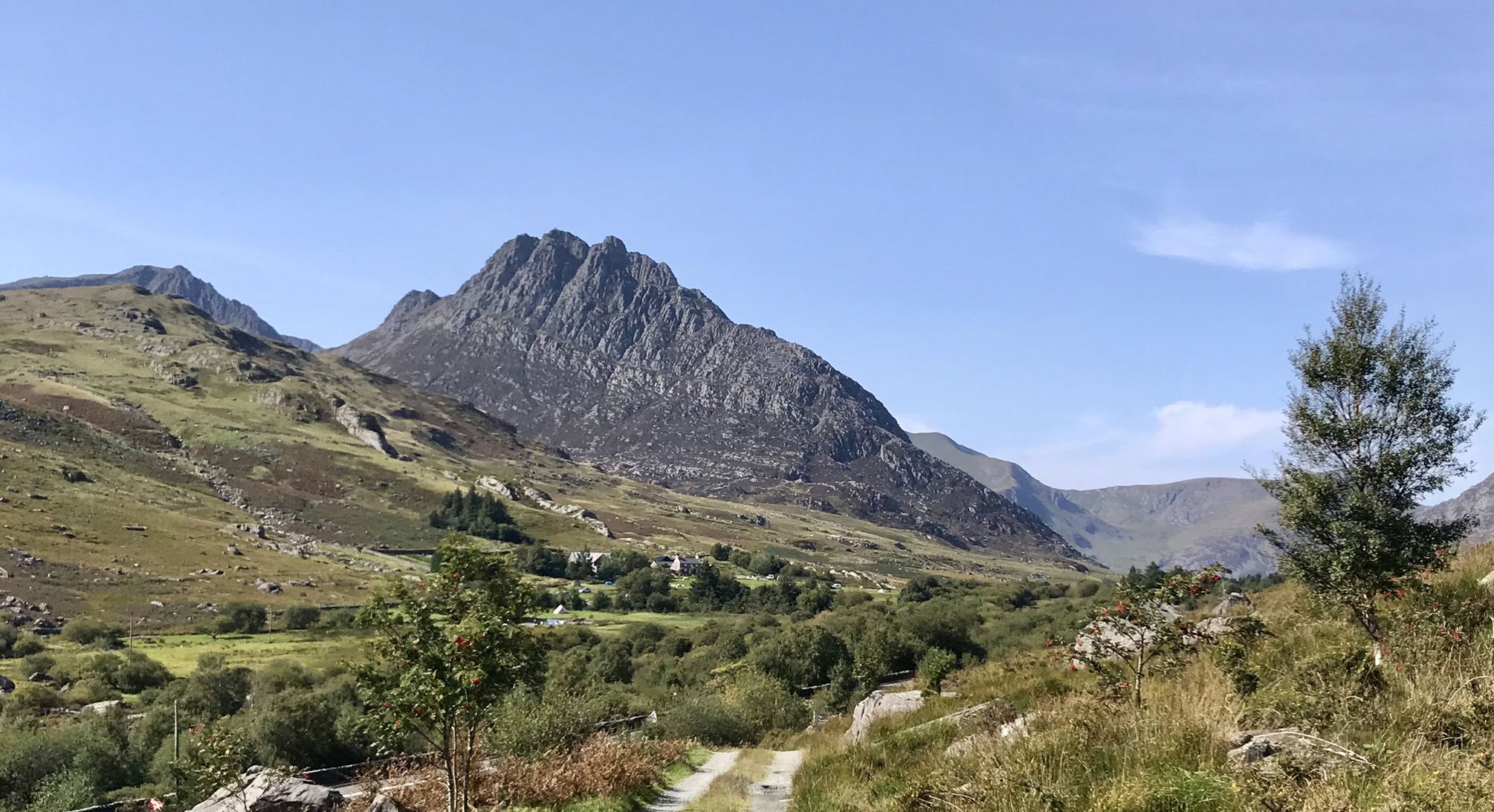
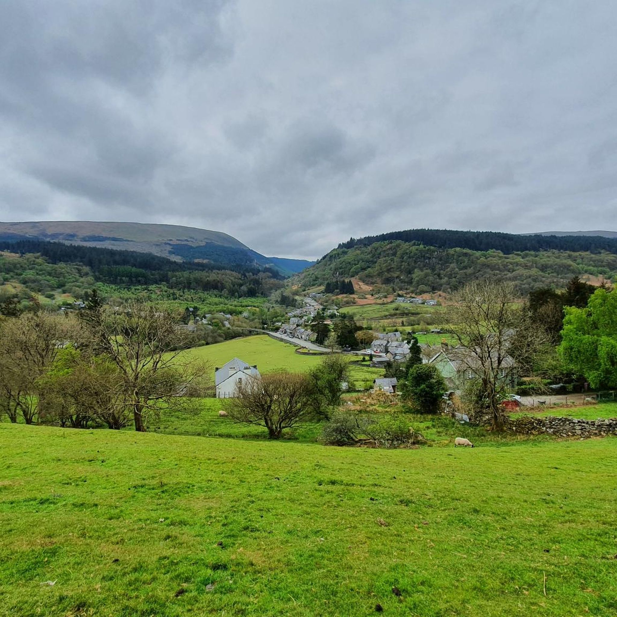
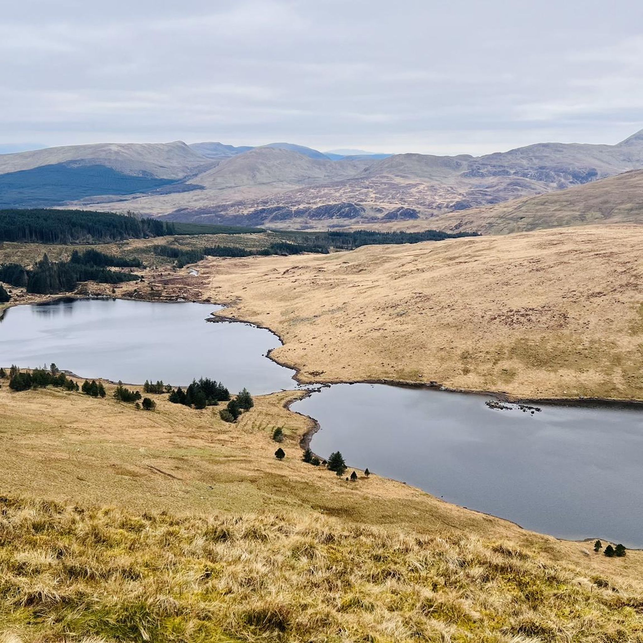
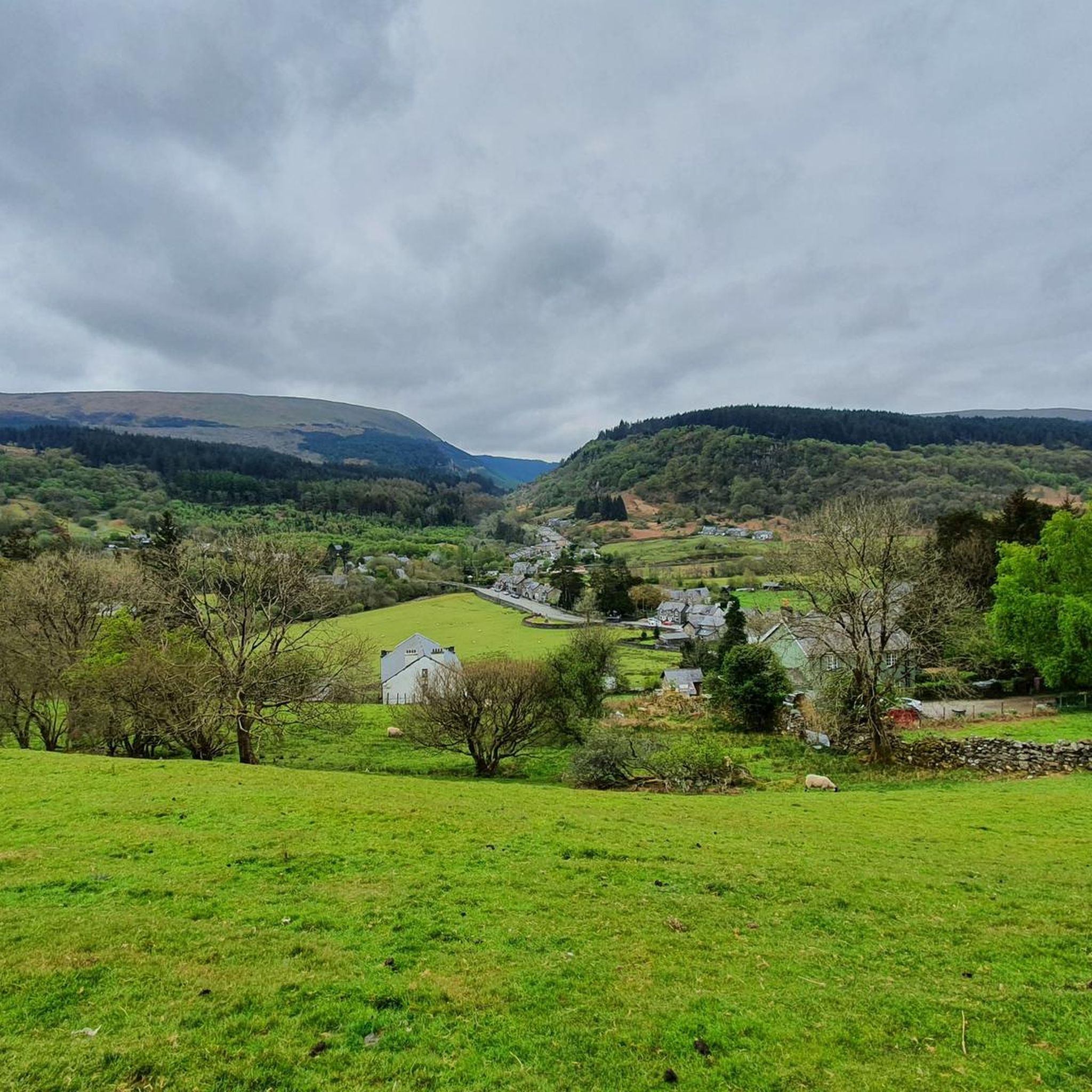

Other adventures around Dolwyddelan

Tips from the Community

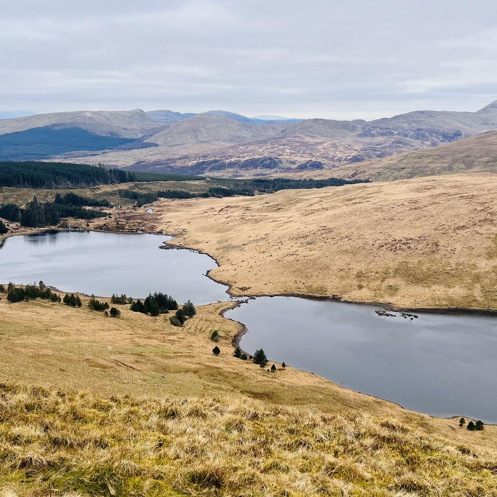
Stunning location - BUSY usually - Cafe at the end of the lake isnt bougie but if your cold and need a kicker - its there.
0
0

Very easy to get lost.. even with Kamoot.. in the end I walked right the way round and came up the north side 😳
0
0

planned to take this route but parking is scarce, so be careful
3
0

There are many, many ways up Yr Wyddfa (Snowdon), though the Watkin Path is one of the six trails officially recognised by the national park authority. It's a quieter option than the routes from Llanberis and Pen y Pass and also one of the most strenuous. It was also the first public footpath in the UK when it was inaugurated in 1892 by Prime Minister William Gladstone.
1
0


Beginning of Watkins' path
5
0
Frequently Asked Questions
What is the general difficulty level of mountaineering routes around Dolwyddelan?
The mountaineering routes in the Dolwyddelan area are predominantly challenging, with 31 out of 36 routes rated as difficult. There are also 5 moderate routes available, but no easy routes. This region is known for its rugged landscape, high-altitude environments, and exposed ridges, providing a demanding experience for most mountaineers.
What are the typical lengths of mountaineering trails in the Dolwyddelan area?
Mountaineering trails around Dolwyddelan vary in length. For instance, the Llyn Llydaw – Snowdon Summit loop from Pen-y-Gwryd Hotel is about 9.6 miles (15.5 km), while the Watkin Path – Snowdon Summit loop from Yr Wyddfa National Nature Reserve extends to 12.2 miles (19.6 km). You can expect routes generally ranging from 7 to 12 miles, often involving significant elevation gain.
Are there parking facilities available for mountaineering routes near Dolwyddelan?
Yes, parking is available at key access points for many routes. A notable parking area is Pen-y-Pass, which serves as a starting point for several popular Snowdon routes. It's advisable to arrive early, especially during peak season, as parking can fill up quickly.
How accessible are the mountaineering routes around Dolwyddelan by public transport?
While Dolwyddelan itself has a train station, access to specific mountaineering trailheads often requires further travel. The Snowdon Sherpa bus service operates seasonally and connects many popular starting points within Snowdonia National Park, including Pen-y-Pass. Planning your journey in advance and checking bus timetables is recommended if relying on public transport.
What kind of challenges can experienced mountaineers expect in Dolwyddelan?
Experienced mountaineers will find plenty of challenges in Dolwyddelan. The region features demanding ascents over rocky terrain, exposed ridges, and significant elevation changes, particularly on routes leading to summits like Snowdon. Many routes, such as the Garnedd Ugain Summit – Snowdon Summit loop from Pen-y-Pass, involve sustained climbs and require good navigation skills and physical fitness.
Are there any circular mountaineering routes available in the area?
Yes, many of the mountaineering routes around Dolwyddelan are designed as circular loops, allowing you to return to your starting point without retracing your steps. Examples include the Llyn-y-Foel – Moel Siabod Summit loop from Capel Curig and the View of Y Lliwedd – Llyn Llydaw loop from Pen-y-Gwryd Hotel, offering varied scenery throughout your journey.
What natural landmarks can I see along the mountaineering routes?
The mountaineering routes offer stunning views of numerous natural landmarks. You can reach the Snowdon Summit (Yr Wyddfa), explore the dramatic Glyder Fach summit and the Cantilever Stone, or encounter the iconic Tryfan Summit. The routes also pass by beautiful glacial lakes like Llyn Llydaw and offer views of other prominent peaks such as Glyder Fawr summit and Carnedd Dafydd.
What do other mountaineers enjoy the most about mountaineering in Dolwyddelan?
The area is highly rated by the komoot community, with an average score of 4.8 stars from over 50 reviews. Reviewers often praise the challenging ascents, the breathtaking panoramic views from the summits, and the rugged, unspoiled beauty of the Snowdonia landscape. The sense of accomplishment after tackling the demanding terrain is a common highlight.
Are there any less strenuous options for those new to mountaineering or with families?
While most routes are rated difficult, there are 5 moderate routes available that might be more suitable for active families or those with some hiking experience looking to transition into mountaineering. These routes still offer a good challenge and stunning scenery without the extreme demands of the most difficult trails. Always check the route details for elevation gain and terrain before setting out.
What is the best time of year for mountaineering in Dolwyddelan?
The best time for mountaineering in Dolwyddelan is typically from late spring to early autumn (May to October). During these months, you can expect more stable weather conditions, longer daylight hours, and less chance of snow and ice on higher elevations. However, mountain weather can change rapidly at any time of year, so always be prepared for all conditions.
What should I consider for winter mountaineering in Dolwyddelan?
Winter mountaineering in Dolwyddelan, particularly on higher peaks, requires significant experience, specialized equipment (such as ice axe, crampons, and appropriate winter clothing), and a thorough understanding of avalanche risk. Conditions can be severe, with snow, ice, strong winds, and limited visibility. It's crucial to check mountain forecasts and be prepared for extreme weather.
Are there any cafes or refreshment stops near the mountaineering routes?
While the routes themselves are in remote mountain environments, you can find cafes and pubs in nearby villages and at key access points. For example, Pen-y-Pass has facilities, and Capel Curig, a short drive from Dolwyddelan, offers several options for refreshments before or after your climb. It's always wise to carry sufficient food and water for your journey.
Most popular attractions around Dolwyddelan

Get inspired with the komoot mobile app


Explore more
Browse the best Mountain Hikes & Routes in other regions.
