The best road cycling routes around Drayton Beauchamp
4.5
(210)
8,745
riders
455
rides
Road cycling routes around Drayton Beauchamp are situated within the Chilterns National Landscape, an Area of Outstanding Natural Beauty. The region features rolling hills, open arable fields, and wooded areas, providing varied backdrops for cycling. The terrain includes undulating roads with significant elevation changes, chalk escarpments, and a network of dry valleys. These characteristics offer road cyclists a range of challenging climbs and scenic descents.
Best road cycling routes around Drayton Beauchamp
- The most popular road cycling route is Aldbury…
Last updated: October 28, 2026
54
riders
31.0km
01:27
290m
290m
Easy road ride. Mostly well-paved surfaces and easy to ride.
13
riders
22.6km
01:02
200m
200m
Moderate road ride. Some segments of this route may be unpaved and difficult to ride.

5.0
(1)
83
riders
Moderate road ride. Good fitness required. Mostly well-paved surfaces and easy to ride.
26
riders
32.6km
01:36
350m
350m
Moderate road ride. Good fitness required. Mostly well-paved surfaces and easy to ride.
27
riders
34.1km
01:42
350m
350m
Moderate road ride. Good fitness required. Mostly well-paved surfaces and easy to ride.
Get access to more routes and recommendations from other explorers.
Already have an account?
Our route recommendations are based on thousands of hikes, rides, and runs completed by other people on komoot.
Start today with a free account
Your next adventure awaits.
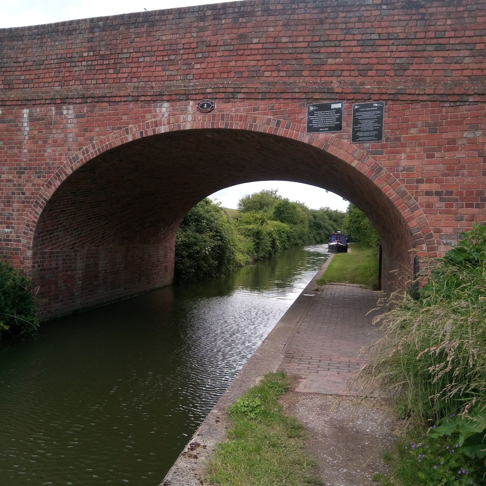
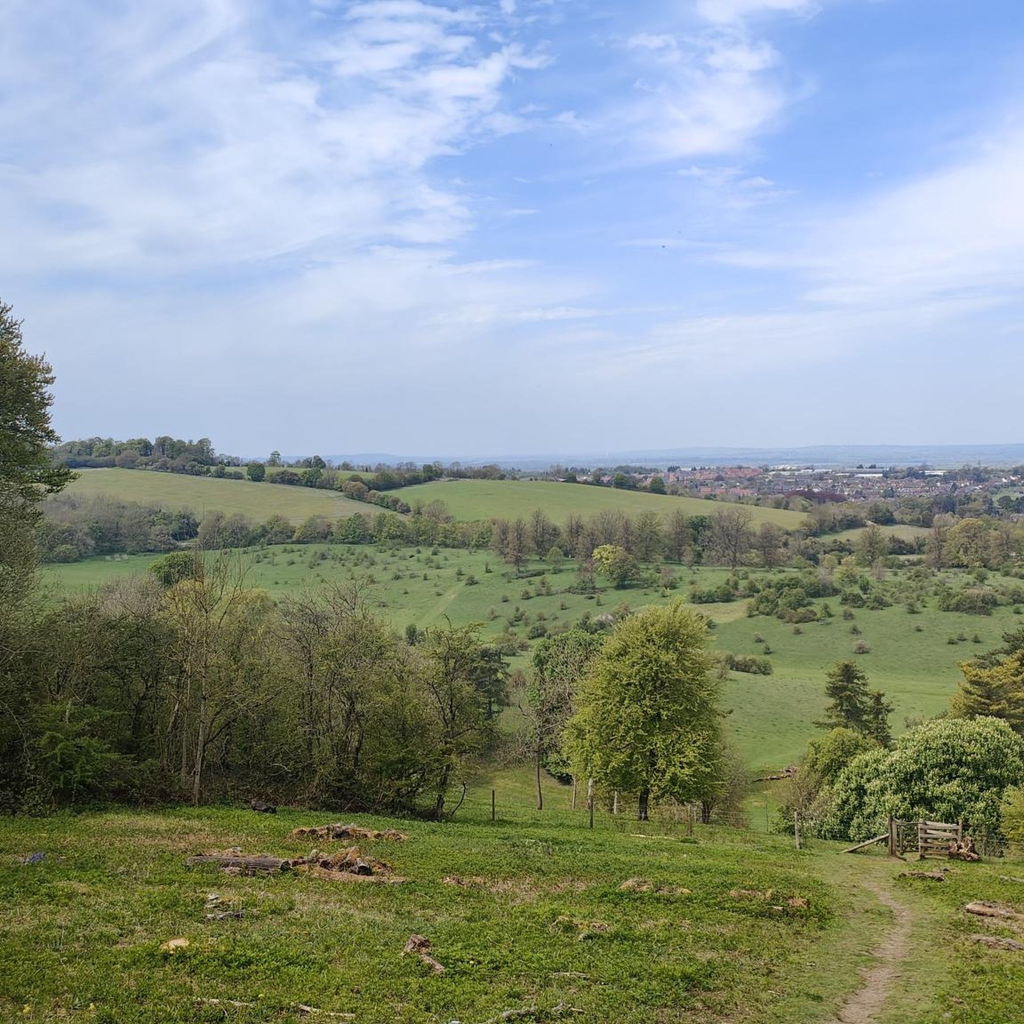
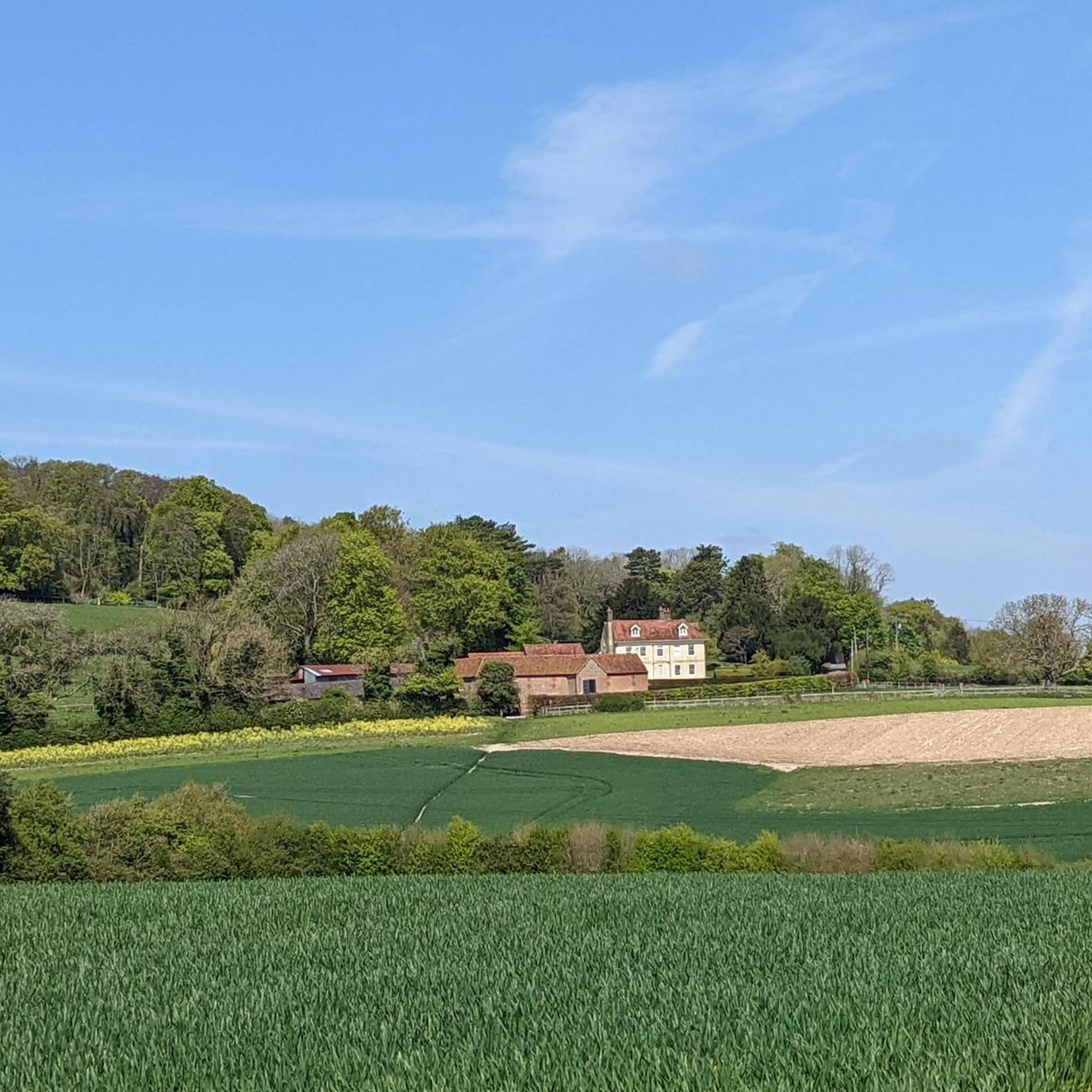
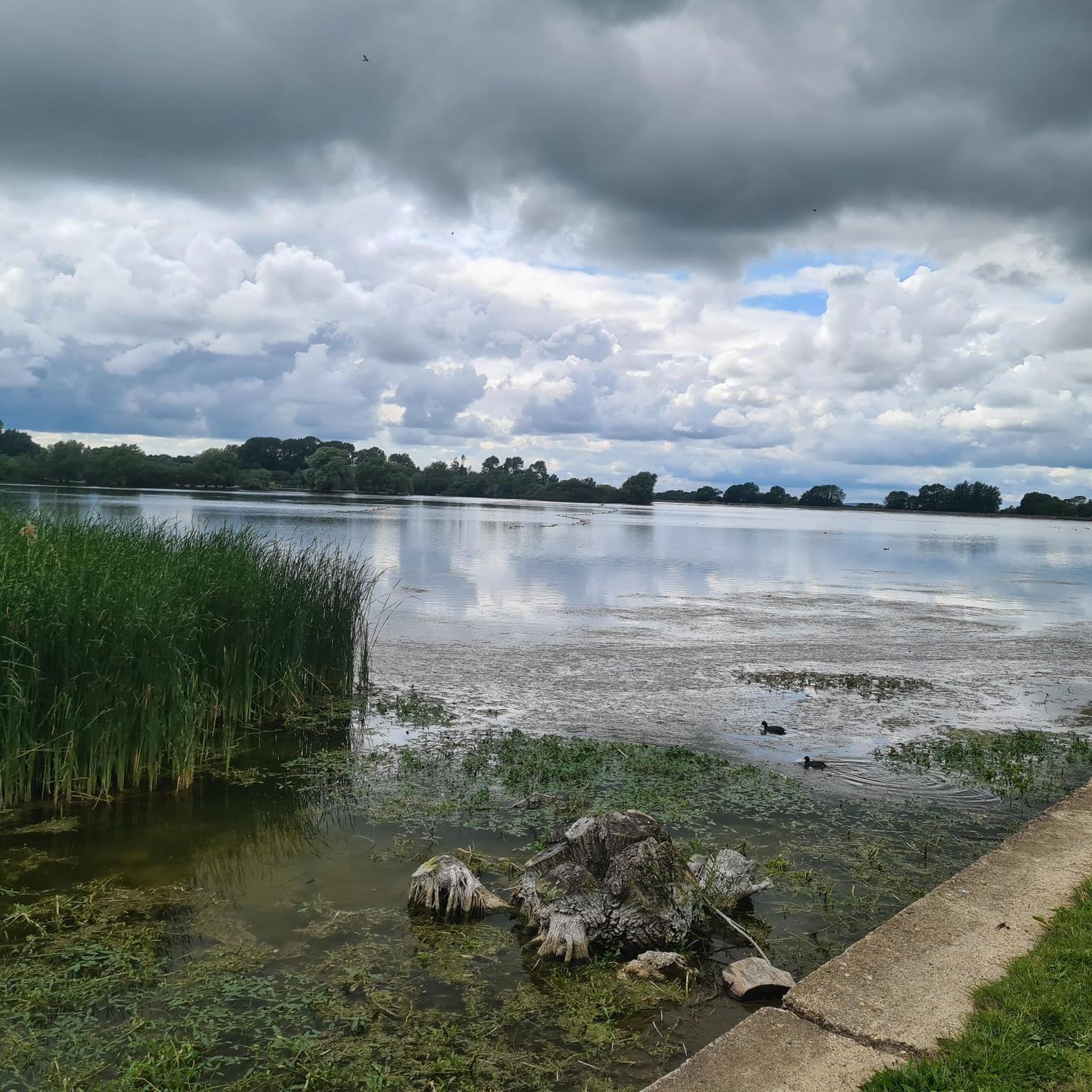
Tips from the Community

Best cycling cafe in the area. Great views and coffee.
0
0

nice little quiet village, The greyhound pub located near to the pond, serves delicious food and friendly atmosphere contributed both from the staff and patrons
0
0


Great cycling themed cafe with a large terrace and plenty of bike space. Well worth a stop off on a Chilterns ride.
0
0
Frequently Asked Questions
How many road cycling routes are available around Drayton Beauchamp?
There are over 480 road cycling routes around Drayton Beauchamp, offering a wide variety of options for different skill levels and preferences. These routes are situated within the scenic Chilterns National Landscape.
What kind of terrain can I expect on road cycling routes in this area?
The terrain around Drayton Beauchamp is characterized by rolling hills, open arable fields, and wooded areas. You'll encounter undulating roads with significant elevation changes, including challenging climbs to viewpoints like Coombe Hill Viewpoint and Ivinghoe Beacon, as well as scenic descents through chalk escarpments and dry valleys.
Are there easy road cycling routes suitable for beginners?
Yes, the area offers a good selection of routes suitable for beginners. Out of the over 480 routes, 156 are classified as easy. An example of an easier route is the Long Marston Road – Dottie About Cake loop from Aston Clinton, which covers about 12 miles (19 km) with less elevation gain.
What are some scenic viewpoints or landmarks I can see along the routes?
Many routes offer stunning views and pass by notable landmarks. You can cycle to the Coombe Hill Viewpoint and Boer War Memorial, which is the highest point in the Chilterns, or to Ivinghoe Beacon for expansive panoramas. Other points of interest include the Bridgewater Monument and the historic Parish Church of St. Mary in Drayton Beauchamp itself.
Are there family-friendly road cycling options around Drayton Beauchamp?
While many routes in the Chilterns feature undulating terrain, there are family-friendly cycling options available. For general family cycling resources in the wider area, you might find information on the Buckinghamshire Council website: Family Cycling Routes in Buckinghamshire.
Where can I park my car when road cycling in Drayton Beauchamp?
Parking options vary depending on your chosen starting point. Many routes begin from nearby towns like Tring or Aston Clinton, which offer public parking facilities. When planning your ride, check the specific route details on komoot for recommended parking areas near the trailhead.
Can I access the road cycling routes using public transport?
Drayton Beauchamp is a rural village, but nearby towns like Tring have train stations with connections to London. From these towns, you can cycle to access the routes. Local bus services may also operate, but it's advisable to check specific routes and schedules for bike carriage policies before planning your journey.
Are there any circular road cycling routes in the area?
Yes, many of the road cycling routes around Drayton Beauchamp are circular, allowing you to start and finish at the same point. The wider Chilterns Cycleway, which is over 95% on-road, is a 170-mile circular route that passes through the vicinity, offering numerous opportunities for shorter circular loops.
What is the best time of year for road cycling in Drayton Beauchamp?
The best time for road cycling in Drayton Beauchamp is generally from spring through autumn (April to October). During these months, the weather is typically milder and drier, and the natural landscapes are at their most vibrant. Summer offers longer daylight hours, while spring and autumn provide pleasant temperatures and beautiful scenery.
Are there cafes or pubs along the road cycling routes for refreshment stops?
Yes, many routes pass through or near charming villages and market towns in the Chilterns, where you can find country pubs and cafes. For example, the Wigginton Road (Vale End) – Chiltern Velo Café loop from Dancersend specifically mentions a cafe in its name, indicating opportunities for refreshment.
What do other road cyclists enjoy most about the routes in Drayton Beauchamp?
The road cycling routes around Drayton Beauchamp are highly rated by the komoot community, with an average score of 4.5 stars from over 150 reviews. Cyclists frequently praise the varied landscapes, the challenging yet rewarding undulating terrain, and the quiet roads that allow for an immersive experience in the Chilterns National Landscape.
Are there longer or more challenging routes for experienced road cyclists?
Absolutely. While there are moderate options like the Aldbury Village Pond – St Mary's Church, Ivinghoe loop from Tring (20 miles/32 km), the region also offers more challenging routes with significant elevation gains, some exceeding 3,000 ft. These routes are ideal for experienced cyclists looking for a demanding workout amidst stunning scenery.
Are there quiet roads for cycling away from heavy traffic?
Yes, the area around Drayton Beauchamp is known for its network of quiet roads and lanes, particularly within the Chilterns National Landscape. Routes like those around the Ashridge Estate and the Bledlow Circular Ride utilize these peaceful roads, allowing cyclists to enjoy the countryside with minimal traffic.
Most popular routes around Drayton Beauchamp
Most popular attractions around Drayton Beauchamp

Get inspired with the komoot mobile app


Explore more
Browse the best Road cycling routes in other regions.
