The best running trails around Klaffer am Hochficht
4.7
(71)
1,395
runners
95
runs
Jogging around Klaffer am Hochficht offers diverse terrain within the gentle hills of the Bohemian Forest in Upper Austria. The region features a blend of extensive forests, river valleys, and elevated areas, providing varied running experiences. Elevations range from 580m in the Große Mühl River Valley up to 1,338m at Hochficht Mountain, allowing for routes with different levels of ascent. This landscape provides both shaded paths and panoramic viewpoints, suitable for various running preferences.
Best jogging routes around Klaffer am…
Last updated: October 5, 2026
13
runners
5.78km
00:40
100m
100m
Moderate run. Good fitness required. Mostly paved surfaces. Suitable for all skill levels.
11
runners
Hard run. Very good fitness required. Sure-footedness, sturdy shoes and alpine experience required.

8
runners
Moderate run. Good fitness required. Mostly paved surfaces. Suitable for all skill levels.
8
runners
6.21km
00:42
130m
130m
Moderate run. Good fitness required. Mostly paved surfaces. Suitable for all skill levels.
5.0
(1)
12
runners
Moderate run. Good fitness required. Mostly paved surfaces. Suitable for all skill levels.
Get access to more routes and recommendations from other explorers.
Already have an account?
Our route recommendations are based on thousands of hikes, rides, and runs completed by other people on komoot.
Start today with a free account
Your next adventure awaits.
Tips from the Community

The paths along the Große Mühl between Ulrichsberg and Schlägl are simply wonderful.
0
0
At the weir, the crossing of the Mühl is open
0
0
Very nice section (mostly singletrack) right next to the Mühl
0
0

Schöneben is a hotspot for cyclists, hikers, and in winter for cross-country skiers.
3
0
It is known for its natural location and panoramic views
4
0
It is a hotspot for cross-country skiing, cycling, and hiking.
3
0

Frequently Asked Questions
How many running routes are available in Klaffer am Hochficht?
There are nearly 100 running routes around Klaffer am Hochficht, catering to various fitness levels. You'll find a mix of easy, moderate, and challenging paths to explore.
What kind of terrain can I expect on the jogging trails around Klaffer am Hochficht?
The region offers diverse terrain, from the gentle hills of the Bohemian Forest to the river valleys and elevated areas. You can expect extensive forests providing shady paths, especially in summer, and some routes with significant elevation gain leading up to points like Hochficht Mountain. Elevations range from 580m in the Große Mühl River Valley up to 1,338m at Hochficht.
Are there any easy or beginner-friendly running routes in the area?
Yes, Klaffer am Hochficht offers several easy running routes. For example, the Path to Stangl – View of Ulrichsberg loop from Ulrichsberg is a moderate 3.6-mile (5.8 km) trail that is a good option for those looking for a less strenuous run with pleasant views.
Can I find running routes with scenic viewpoints in Klaffer am Hochficht?
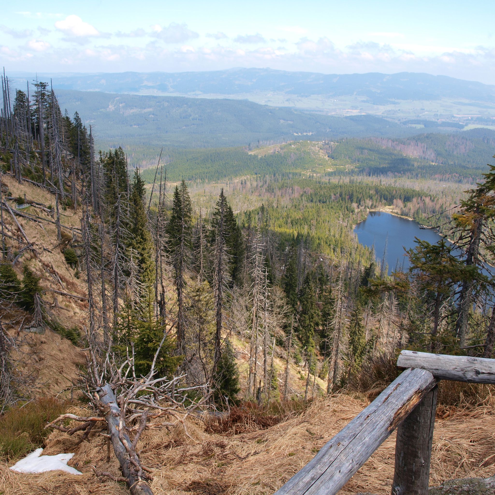
Absolutely. The region is rich in scenic spots. Routes often lead to impressive vistas, such as those from Hochficht Mountain, offering panoramic views of the Mühlviertel. The Moldaublick Observation Tower – Moldaublick Observation Tower loop from Ulrichsberg is a challenging route that specifically features an observation tower with expansive views.
Are there any circular running routes available?
Yes, many of the running paths around Klaffer am Hochficht are designed as loops, allowing you to start and finish at the same point. The Landhotel Sonnenhof – Forest Path by the Große Mühl loop from Ulrichsberg is a popular 5.4-mile (8.6 km) circular trail through the Große Mühl river valley.
What natural landmarks or attractions can I see along the running routes?
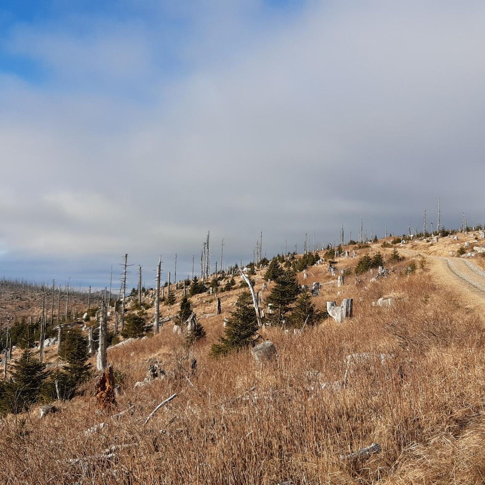
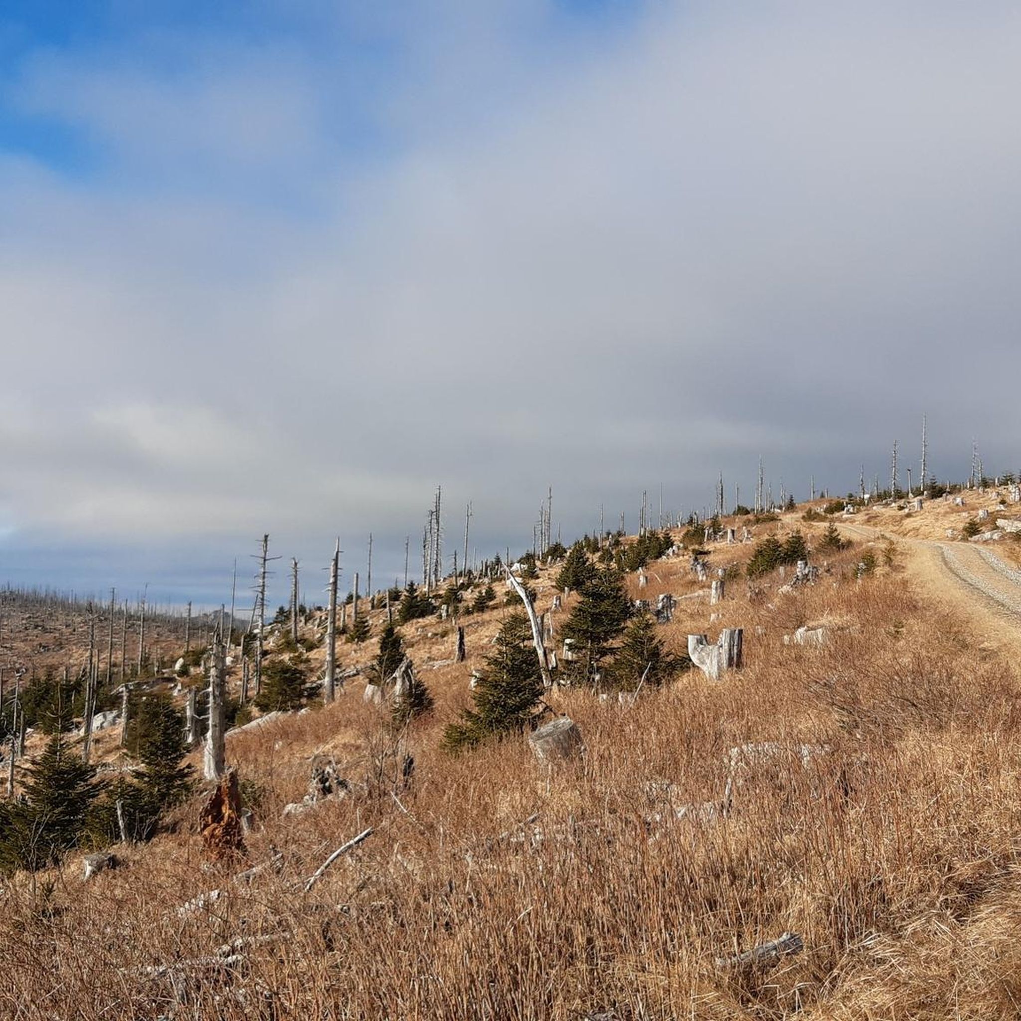
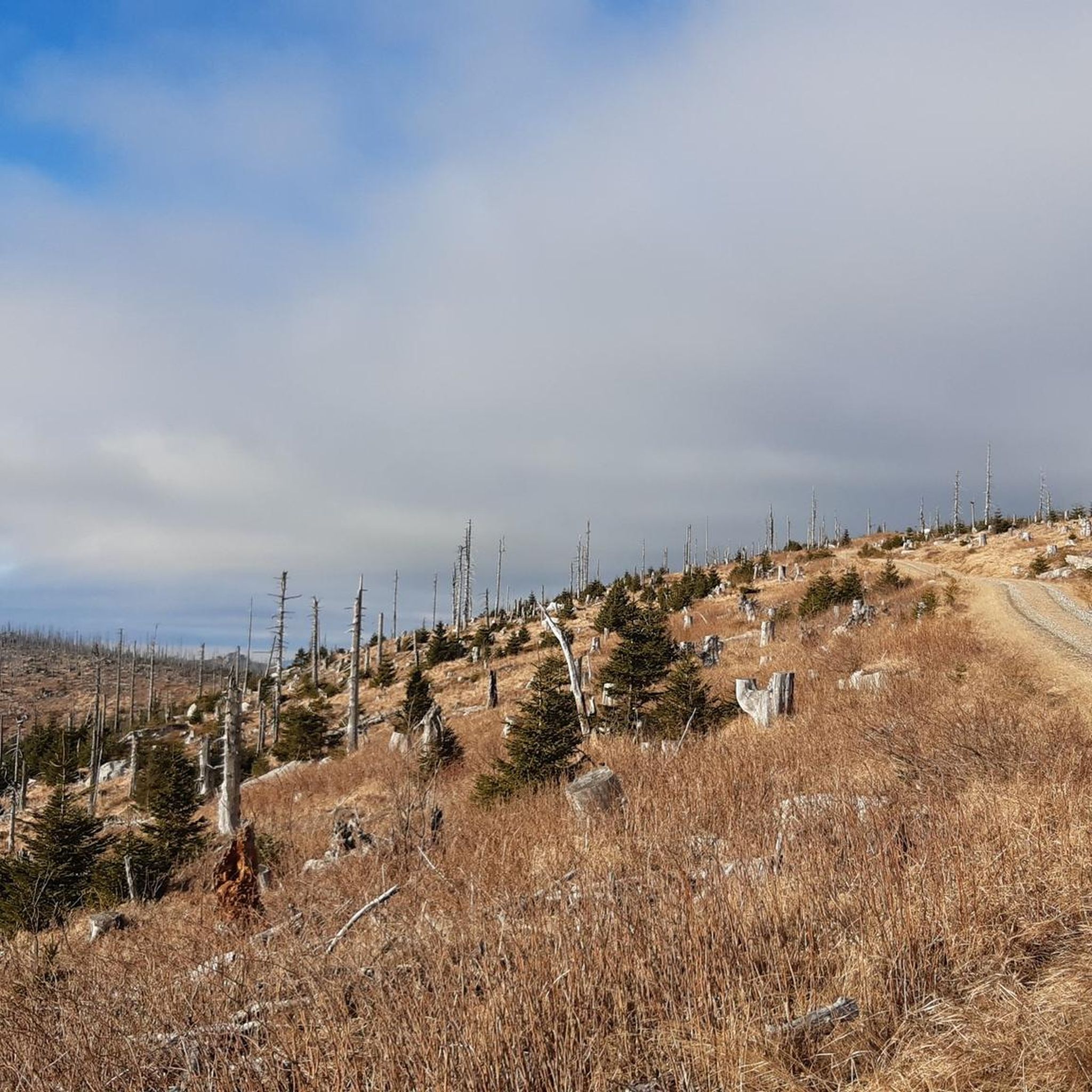
You can encounter several unique natural features. The Dreisessel Rock features an impressive 'Stone Sea' of granite rocks. Another 'Stone Sea' can be found at Plöckenstein, with large, free-standing granite slabs. The ridgeway through the Bohemian Forest offers unique scenery with dead trees.
Are there any man-made monuments or points of interest to discover while running?
Yes, a notable point of interest is the Tripoint Monument (Germany–Austria–Czech Republic), where you can symbolically cross the borders of three countries. This offers a distinctive cultural experience during your run.
What is the best time of year for jogging in Klaffer am Hochficht?
The best seasons for outdoor activities like jogging in Klaffer am Hochficht are spring and autumn. During these times, the region displays beautiful colors, and the weather is pleasantly mild, making for ideal running conditions. While winter offers snowshoeing, spring and autumn are generally preferred for running.
Are there any running routes suitable for families?
Many of the easier and moderate routes are suitable for families, depending on the children's age and fitness level. The varied landscape allows for choosing paths with less elevation gain and shorter distances, such as the Path to Stangl – Parish Church of Ulrichsberg loop from Ulrichsberg, which is a moderate 3.6-mile (5.8 km) trail.
What do other runners enjoy most about jogging in Klaffer am Hochficht?
The running routes in Klaffer am Hochficht are highly rated by the komoot community, with an average score of 4.7 stars from over 60 reviews. Runners often praise the diverse terrain, the extensive forests providing shade, and the variety of routes that cater to different ability levels, from leisurely runs to challenging mountain paths.
Are there options for parking near the running trails?
While specific parking details vary by trailhead, Klaffer am Hochficht is generally well-equipped for visitors. Many popular trailheads and starting points for routes, especially those originating from villages or key attractions, typically offer designated parking areas. It's advisable to check individual route descriptions for precise parking information.
Can I access running routes using public transport?
The region around Klaffer am Hochficht has some public transport options, though access to specific trailheads might require planning. Larger towns and villages often have bus connections. For detailed information on reaching specific starting points by public transport, it's best to consult local transport schedules.
Most popular routes around Klaffer am Hochficht
Most popular attractions around Klaffer am Hochficht

Get inspired with the komoot mobile app


Explore more
Browse the best Running Trails & Routes in other regions.
