The best walks and hikes around Marlbank
3.9
(33)
382
hikers
17
hikes
Hiking around Marlbank offers routes across a landscape defined by blanket bog, limestone hills, and extensive forests. The area is part of the Cuilcagh Lakelands Geopark, characterized by features such as the prominent Cuilcagh Mountain. Trails navigate through this varied terrain, providing options for different levels of hiking experience.
Best hiking trails around Marlbank
- The most popular hiking route is Cuilcagh Way — Cuilcagh Mountain Park, a 7.0 mile (11.3 km) trail that takes around 3 hours 30 minutes…
Last updated: November 11, 2026
4.8
(19)
200
hikers
11.3km
03:32
430m
430m
Moderate hike. Good fitness required. Easily walkable paths.
5.0
(1)
6
hikers
21.2km
06:17
610m
610m
Hard hike. Very good fitness required. Easily walkable paths.

16
hikers
3.47km
00:59
80m
80m
Easy hike. Easily walkable paths.
4.5
(2)
4
hikers
10.1km
02:54
250m
250m
Moderate hike. Good fitness required. Easily walkable paths.
11.0km
02:51
50m
110m
Moderate hike. Good fitness required. Easily walkable paths.
Get access to more routes and recommendations from other explorers.
Already have an account?
Our route recommendations are based on thousands of hikes, rides, and runs completed by other people on komoot.
Start today with a free account
Your next adventure awaits.
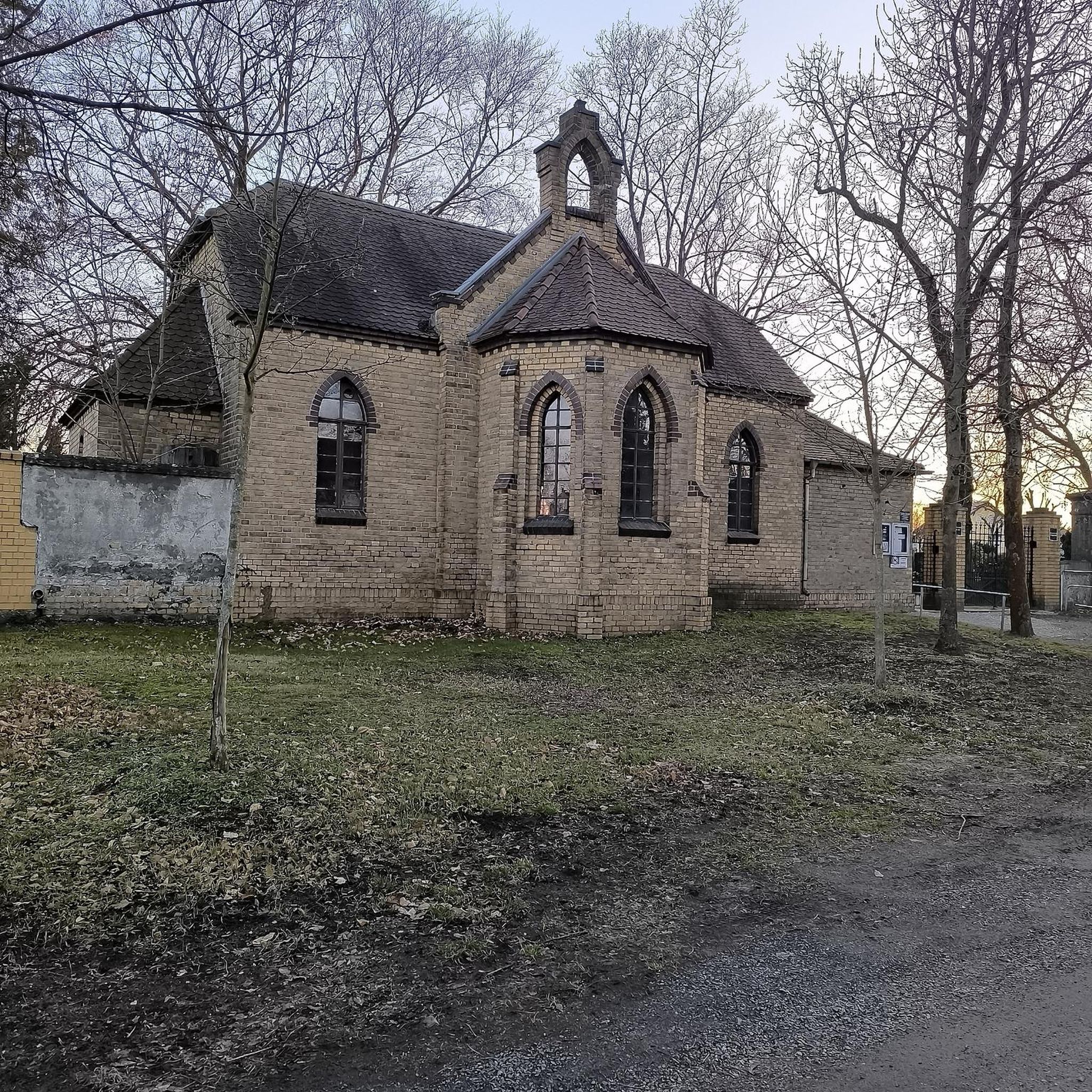
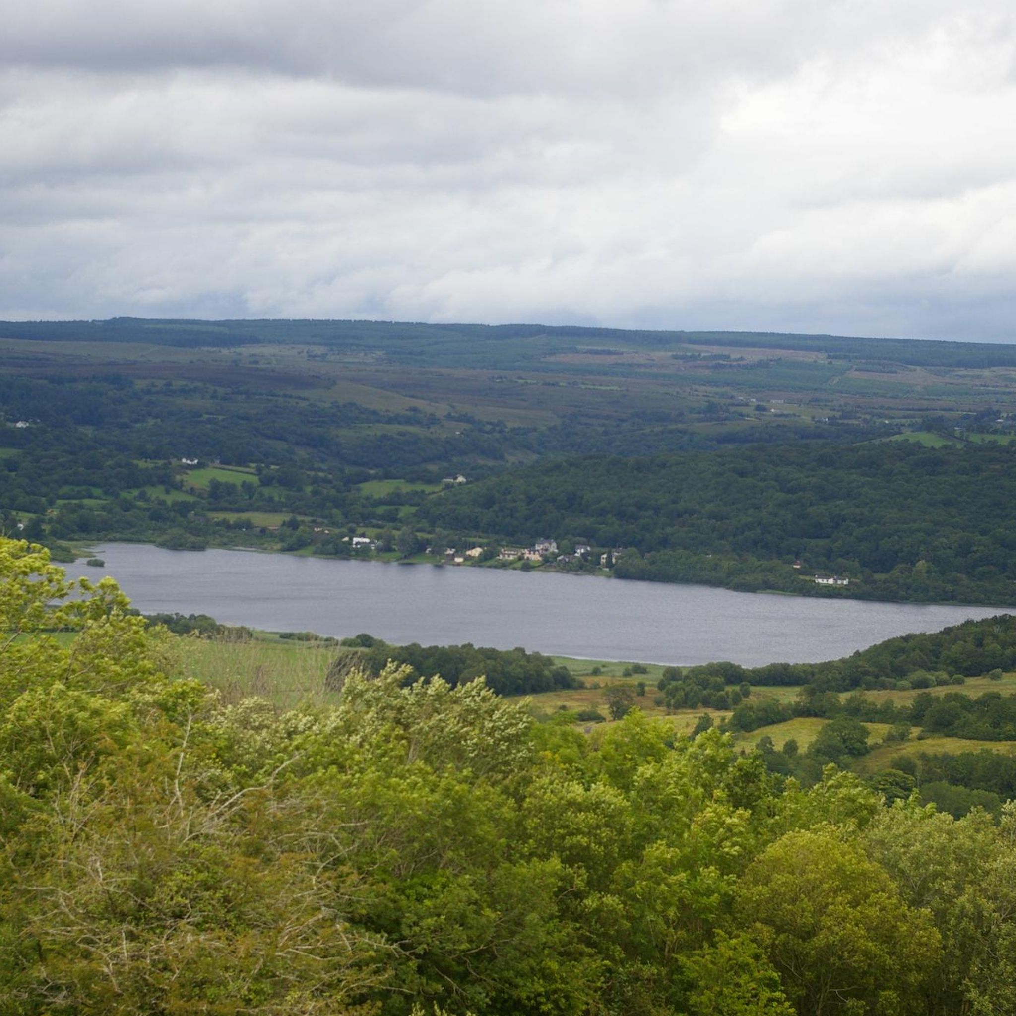
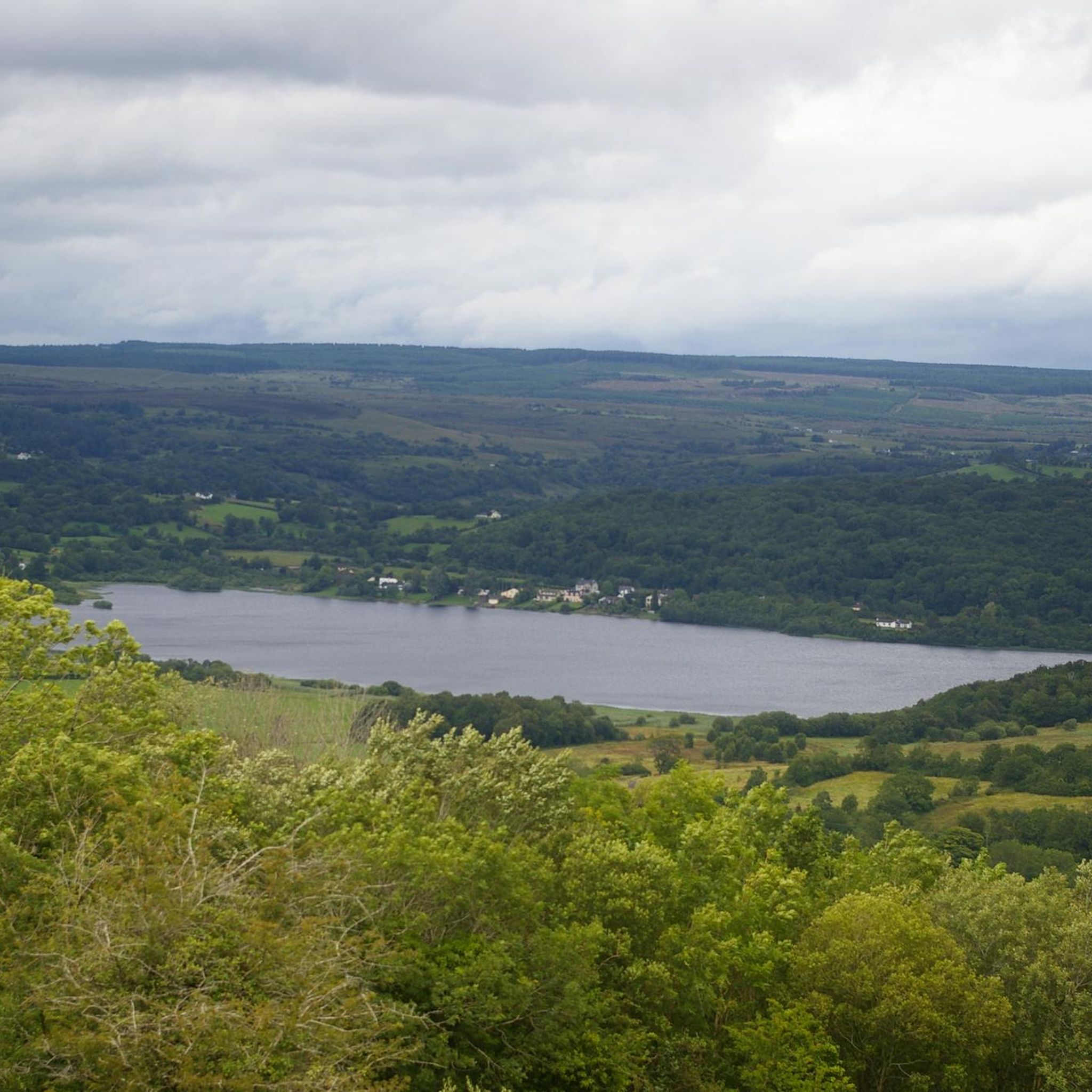
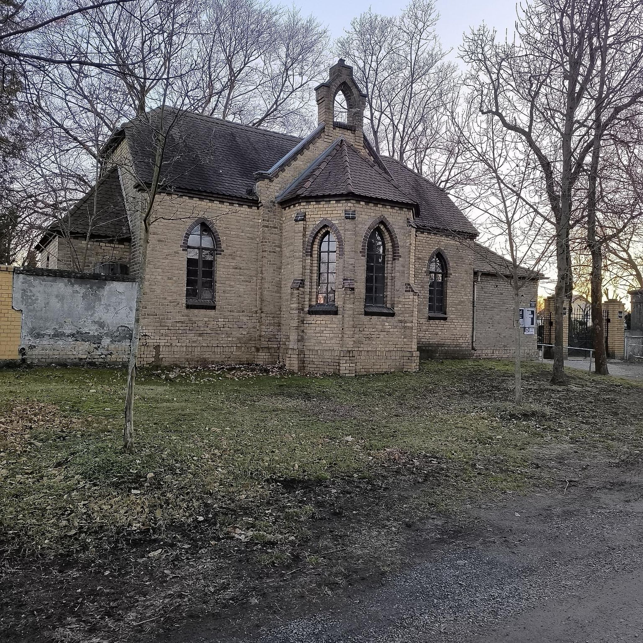

Tips from the Community

The Cavan Way is a 26 km (16 mile) walking route between Blacklion and Dowra. The route was designed to showcase the amazing landscapes of West Cavan. The route is often split into two sections - Blacklion to Shannon Pot (near here), and Shannon Pot to Dowra.
0
0

The Cuilcagh Boardwalk Trail, affectionately known as the "Stairway to Heaven," offers a challenging yet rewarding hike through one of Northern Ireland's most stunning landscapes. Spanning approximately 11 km round-trip, the trail meanders through expansive blanket bogs before culminating in a steep ascent of 450 wooden steps to a viewing platform atop Cuilcagh Mountain. Hikers are treated to breathtaking panoramic views of the surrounding lowlands, including glimpses of counties Cavan, Leitrim, and Donegal on clear days. While the boardwalk was constructed to protect the delicate bog ecosystem, it has also made the trail more accessible, attracting over 60,000 visitors annually.
3
0
Great walk, very touristy but it's worth the detour! Be careful of the crowds (on weekends and in summer I dare not imagine!). However, BE CAREFUL, the summit is not accessible, you have to pass the protective barriers which allow the wild nature to be preserved from our steps and from this crowd of people. If we, the Komoot community, start to do this all the tourists will allow themselves and the landscape will never be so beautiful again! (Ps: no need to climb to the top to already see enough in the eyes!)
1
0


At 360 kilometres (224 mi) in length, the magnificent River Shannon is the longest in Ireland. The river rises on Cuilcagh Mountain before flowing through green landscapes towards the Atlantic Ocean. According to Irish mythology, the Shannon was named after Sionann, granddaughter of the sea god Lir. She is said to have gone to the river to find wisdom, but drowned and was carried out to sea. The Shannon hosts diverse plant life and wildlife such as salmon, kingfishers, and even bottlenose dolphins in the Shannon Estuary.
1
0

Tullygobban Tomb is over 4000 years old and is aligned to face the sunset on the shortest day of the year, the Winter Solstice. Look south towards the cairn atop Cullcagh Mountain and you will see that the summit, this tomb, the Calf House Tomb and an erratic boulder all lie up.
1
0
Stunning limestone caves which you can explore on a guided tour. Well worth a visit. There are 150 steps down to the caves so if you are wearing cleats please be aware, or change into a pair of trainers before you descend down into the natural wonder. There is also a cafe on site. For further details please see https://marblearchcaves.co.uk/
1
0

Very long and strenuous hike if you want to go up the mountain. Warm clothing is a must. As soon as you leave the low vegetation, the wind gets really unpleasant and cold...
2
0
Frequently Asked Questions
What is the landscape like for hiking around Marlbank?
The area is part of the Cuilcagh Lakelands Geopark, so you can expect a unique landscape of blanket bog, rolling limestone hills, and extensive forests. Trails navigate this varied terrain, from woodland paths to ascents on the prominent Cuilcagh Mountain.
Are there any easy, family-friendly walks?
Yes, there are several easier options. For a straightforward walk through the woods, consider the Belmore Forest loop via Pollnagollum Cave. Another gentle route is the walk to Marble Arch Caves via Cladagh River, which follows the river through a pleasant woodland.
I'm looking for a challenging, long-distance hike. What's available?
For a demanding day out, the Cuilcagh Mountain Park loop is a difficult 21 km trek. It covers the wider park area and involves significant elevation gain, making it suitable for experienced hikers with good fitness.
What is the 'Stairway to Heaven' hike?
The 'Stairway to Heaven' is the popular name for the boardwalk section of the Cuilcagh Way trail. This part of the route involves a steep climb up a wooden staircase to a viewpoint on Cuilcagh Mountain, offering fantastic views over the surrounding landscape.
How many hiking trails are there around Marlbank?
You can explore over 15 hiking routes around Marlbank. The selection ranges from easy forest walks to moderate mountain trails and difficult long-distance treks, offering something for every fitness level.
Are the trails suitable for dogs?
Many trails in the area are suitable for dogs, but they must be kept on a lead at all times. This is especially important on routes crossing farmland with livestock and in sensitive habitats like the blanket bog on Cuilcagh Mountain to protect ground-nesting birds.
What do other hikers think of the trails in Marlbank?
The routes around Marlbank are highly rated by the komoot community. Hikers often praise the unique geology of the Geopark, the stunning views from Cuilcagh Mountain, and the well-maintained boardwalk sections on popular trails.
Can I see any caves or interesting geological features?
Absolutely. The region is famous for its karst landscape. The Pollnagollum Cave system can be seen on trails within Belmore Forest, and the entire area is part of the Cuilcagh Lakelands Geopark, known for its significant geological heritage.
Are there circular walks available?
Yes, many of the routes are loops. For a moderate circular hike with varied scenery, the Cavan Burren Park loop is a great option that takes you through a prehistoric park with ancient tombs and rock art.
What should I wear or bring for a hike on Cuilcagh Mountain?
The weather on the mountain can change quickly. Sturdy, waterproof hiking boots are essential as the terrain can be uneven and boggy off the boardwalk. Always bring waterproof layers, even on a clear day, as well as extra food, water, and a fully charged phone.
Is there parking available at the main trailheads?
Yes, there are car parks for major trailheads, such as the one for the Cuilcagh Boardwalk Trail ('Stairway to Heaven'). However, these can get extremely busy, especially on weekends and holidays. It is highly recommended to arrive early to secure a space.
Most popular attractions around Marlbank

Get inspired with the komoot mobile app


Explore more
Browse the best Hikes in other regions.
