The best cycling routes around Magherahar
4.0
(3)
55
riders
9
rides
Touring cycling around Magherahar offers diverse landscapes, from varied terrain near the Sperrin Mountains to tranquil ancient woodlands. The region features a mix of mostly well-paved surfaces and some unpaved segments, providing a range of challenges for cyclists. Natural features like Drumnaph Forest and historical sites such as St Lurach's Church add interest to the routes. Its location in Mid Ulster makes it a strategic base for exploring wider Northern Irish cycling trails.
Best touring cycling routes around Magherahar
- The…
Last updated: June 27, 2026
12
riders
49.1km
03:08
550m
550m
Hard bike ride. Very good fitness required. Mostly paved surfaces. Suitable for all skill levels.
5.0
(1)
13
riders
14.2km
01:09
130m
130m
Easy bike ride. Great for any fitness level. Mostly paved surfaces. Suitable for all skill levels.

Sign up for free
3
riders
38.1km
02:21
320m
320m
Moderate bike ride. Good fitness required. Mostly paved surfaces. Suitable for all skill levels.
3
riders
66.1km
04:14
740m
740m
Hard bike ride. Very good fitness required. Mostly paved surfaces. Suitable for all skill levels.
3
riders
38.6km
02:26
330m
330m
Moderate bike ride. Good fitness required. Mostly paved surfaces. Suitable for all skill levels.
Get access to more routes and recommendations from other explorers.
Sign up for free
Already have an account?
Our route recommendations are based on thousands of hikes, rides, and runs completed by other people on komoot.
Start today with a free account
Your next adventure awaits.
Login or Signup
Tips from the Community

The shimmering waters of Lough Melvin attract anglers from around the world for its beauty and diverse fish. The lake is home to three unique species of trout, as well as salmon, and an endemic species of char, the Melvin charr. If you want to try your hand at fishing, you should purchase a license and consider renting a boat. The lake is 7.5 miles (12 km) long and 1.9 miles (3 km) wide and set amongst the beautiful green countryside along the border of County Leitrim and Country Fermanagh. If you are not into fishing, there's plenty of wonderful flora and fauna to enjoy too.
1
0

Nice village green with toilets and Loch side views
0
0

A hive of activity, the marina at Castle Archdale is full of things to do. Why not park your bike and pedal on water on one of the hydrobikes? Kayaks, paddleboards and boats are also available to hire. Or if you're looking for a break, this is a great place to stop and take it all in.
0
0

A white beacon marks the location of Rossmore Point. There is a bench to sit on here where you can enjoy serene views over Lough Erne.
2
0
Beautiful views over Lough Erne toward Tom's Island. Tom's Island is actually no longer an island, but once was before the lough was lowered.
2
0
Old Castle Archdale is situated on Castle Hill within a 520 hectare coniferous and mixed broadleaved forest. The castle was built in the 1600s and was the main castle on this former estate before its successor took it's place in the 1800s, Castle Archdale.
2
0

Frequently Asked Questions
How many touring cycling routes are available around Magherahar?
There are over 9 touring cycling routes around Magherahar, offering a variety of experiences for different skill levels. These routes are highly rated by the komoot community.
What kind of terrain can I expect on touring cycling routes in Magherahar?
The terrain around Magherahar is diverse, ranging from mostly well-paved surfaces to some unpaved segments, particularly near the Sperrin Mountains. This offers a mix of challenges, from gentle ascents to routes with significant elevation gain.
When is the best time of year for touring cycling in Magherahar?
While specific seasonal conditions are not detailed, the region's diverse landscapes, including ancient woodlands and mountain edges, suggest that spring and summer would offer the most pleasant weather for exploring. Autumn would also provide beautiful scenery.
Are there touring cycling routes suitable for beginners or families in Magherahar?
Yes, there is at least one easy touring cycling route. For example, the Rossmore Point Beacon – Old Castle Archdale loop from White Island is an easy 8.8 miles (14.2 km) path with gentle ascents, making it suitable for a more relaxed ride.
Are there challenging touring cycling routes for experienced cyclists?
Absolutely. Magherahar offers routes with significant elevation gain for experienced cyclists. The Carrick Lough – Roogagh Waterfall loop from Derrygonnelly is a difficult 30.5 miles (49.1 km) trail with over 550 meters of ascent, taking about 3 hours 8 minutes to complete. Another challenging option is the Tully Castle Ruins – Lough Melvin loop from Heron Island, which covers 66.1 km with over 740 meters of elevation gain.
Are there any circular touring cycling routes in the area?
Yes, many of the touring cycling routes around Magherahar are designed as loops. Examples include the Carrick Lough – Roogagh Waterfall loop from Derrygonnelly, the Rossmore Point Beacon – Old Castle Archdale loop from White Island, and The Big Tree – Carrickreagh Forest loop from Derrygonnelly.
What natural features can I explore along the touring cycling routes?
You can encounter various natural features. The Carrick Lough – Roogagh Waterfall loop from Derrygonnelly passes by Carrick Lough and Roogagh Waterfall. The region is also close to the Sperrin Mountains and features ancient woodlands like Drumnaph Forest and Nature Reserve, which boasts wetlands, bog, and the Grillagh River. You might also find viewpoints like Rossmore Point Beacon and View of Tom's Island.
Are there any historical sites or landmarks to visit while cycling?
Yes, the area is rich in history. You can visit sites like Tully Castle Ruins, which is part of the Tully Castle Ruins – Lough Melvin loop from Heron Island. Other historical attractions in the wider Maghera area include St Lurach's Church, Tamneyrankin Court Tomb, and Rosie's Cottage. You can find more information on local heritage at maghera-heritage.org.uk.
Where can I park my car when starting a touring cycling route in Magherahar?
While specific parking locations for each route are not detailed, many routes start from towns or villages like Derrygonnelly or White Island, where public parking facilities are typically available. It's advisable to check local parking options for your chosen starting point.
Is public transport available to access touring cycling routes in Magherahar?
Information on specific public transport links directly to route starting points is not readily available. Magherahar's location in Mid Ulster makes it accessible by road, but for detailed public transport options, it's best to consult local transport providers for services to towns like Maghera or Derrygonnelly.
Are there any cafes or pubs near the touring cycling routes in Magherahar?
The region around Magherahar, including towns like Maghera, offers local amenities. While specific cafes or pubs directly on the routes are not listed, you can typically find places to refuel in nearby villages and towns. It's a good idea to plan your stops in advance.
Are there any specific permits required for touring cycling in Magherahar?
Generally, no specific permits are required for touring cycling on public roads and established trails in the Magherahar area. However, if you plan to cycle through private land or specific nature reserves, it's always best to check for any local regulations or access requirements.
What do other touring cyclists enjoy most about cycling in Magherahar?
The area is highly rated by the komoot community, with an average score of 4.0 stars. Reviewers often praise the diverse landscapes, from tranquil ancient woodlands to the challenging terrain near the Sperrin Mountains, and the mix of well-paved and unpaved segments that cater to various cycling preferences.
Can I find routes with waterfalls or scenic viewpoints?
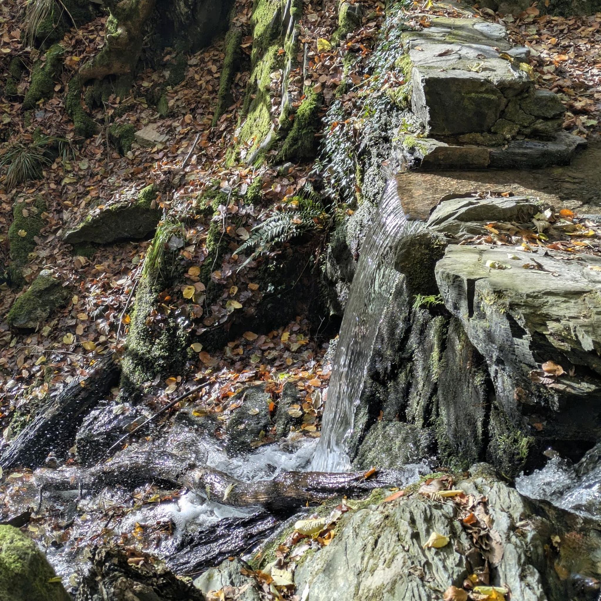
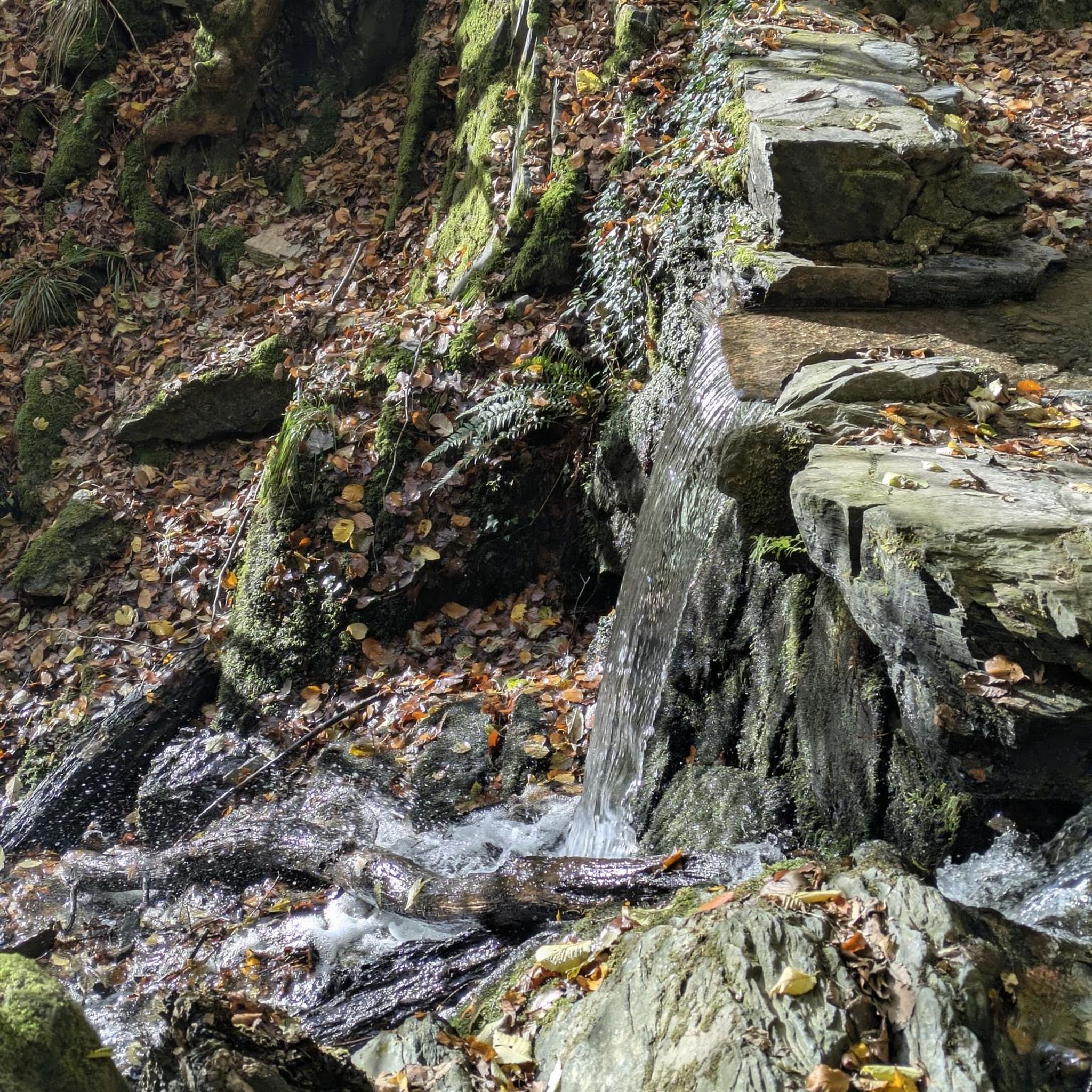
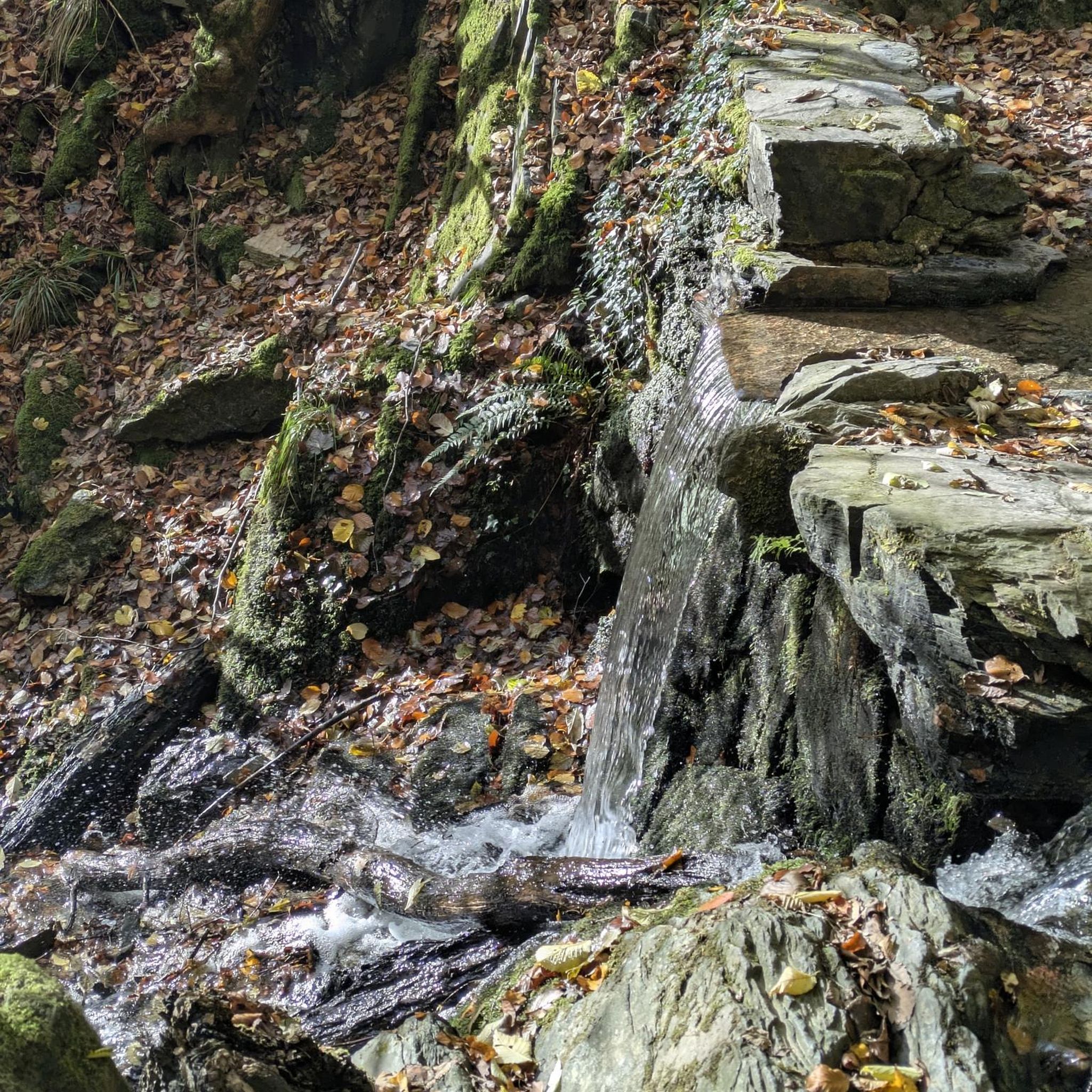
Yes, the Carrick Lough – Roogagh Waterfall loop from Derrygonnelly features the Roogagh Waterfall. Additionally, routes near Lough Erne offer scenic viewpoints such as Rossmore Point Beacon, Carrickreagh Jetty, Lower Lough Erne, and View of Tom's Island.
Most popular attractions around Magherahar

Get inspired with the komoot mobile app


Explore more
Browse the best Cycling routes in other regions.
