The best running trails around Micheldorf in Oberösterreich
4.4
(9)
644
runners
70
runs
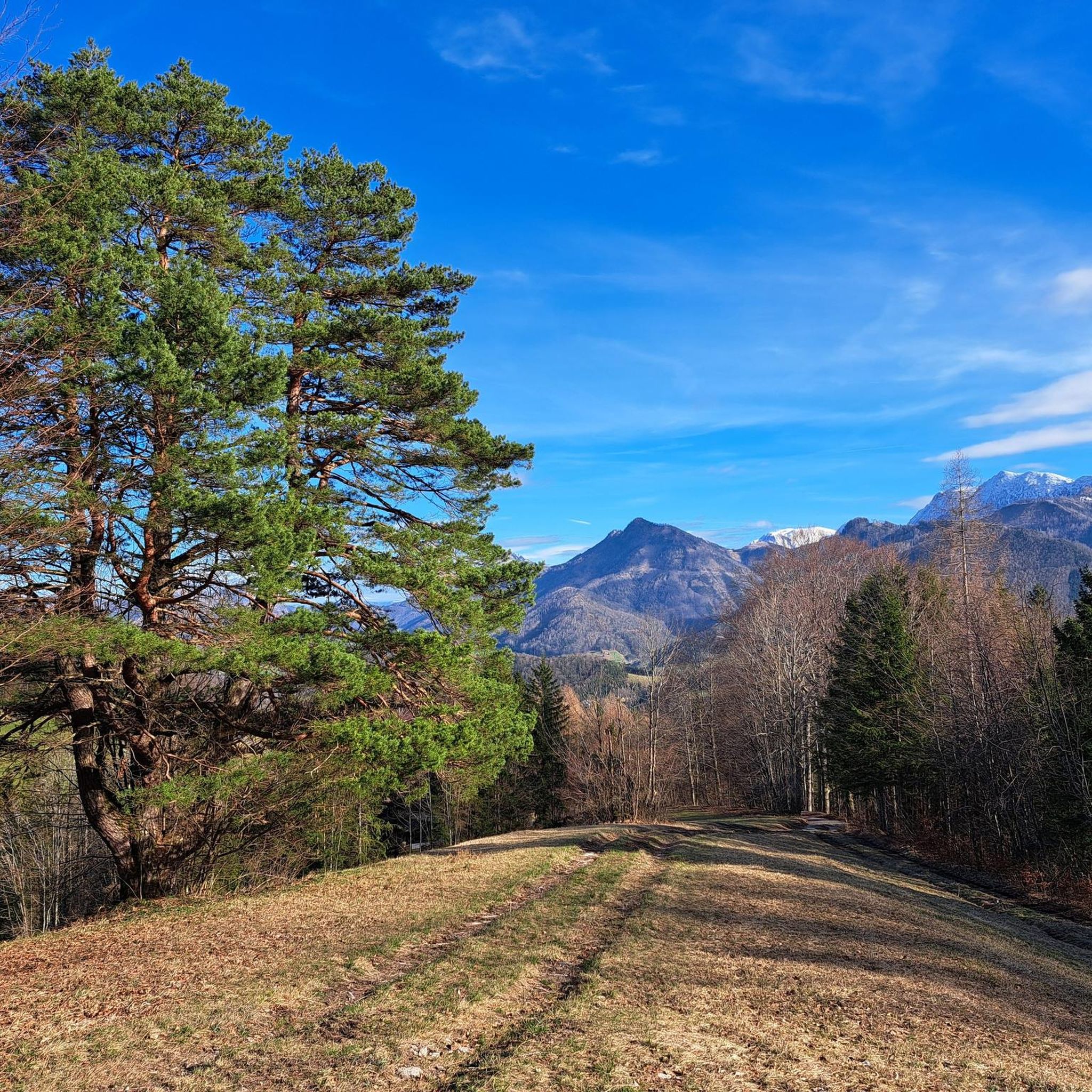
Jogging routes around Micheldorf in Oberösterreich traverse diverse landscapes, from the foothills of the Sengsengebirge mountain range to the Altpernstein landscape conservation area. The region features varied terrain, including paved paths, forest roads, and woodland trails, catering to different fitness levels. Natural monuments and rock formations, such as the Törl Rock Arch, add scenic interest to many routes. Extensive forests and meadows, particularly around Altpernstein Castle, provide pleasant environments for running.
Best jogging routes around Micheldorf in Oberösterreich
- The most popular jogging route is Pyramide – Nackter Kalbling loop from Zivilflugplatz Micheldorf, a 9.1 miles (14.7 km) trail that takes 3 hours 21 minutes to complete, featuring significant elevation changes.
- Another top favourite among local runners is View of Georgsberg – Micheldorf in Upper Austria loop from Micheldorf in Oberösterreich, a moderate 7.3 miles (11.7 km) path offering views of Georgsberg.
- Local runners also love the Micheldorf in Upper Austria loop from Micheldorf in Oberösterreich, a 5.5 miles (8.9 km) trail leading through varied local terrain, often completed in about 56 minutes.
- Jogging around Micheldorf in Oberösterreich is defined by mountainous surroundings, dense forests, and open meadows. The network offers options for easy runs on paved paths and more challenging trails with significant elevation gain.
- The routes in Micheldorf in Oberösterreich are highly rated by the komoot community with an average score of 4.5 stars from over 10 reviews. More than 700 runners have used komoot to explore Micheldorf in Oberösterreich's varied terrain.
Last updated: July 5, 2026
31
runners
13.1km
02:03
830m
830m
Hard run. Very good fitness required. Sure-footedness, sturdy shoes and alpine experience required.
29
runners
13.2km
01:26
120m
120m
Moderate run. Good fitness required. Mostly paved surfaces. Suitable for all skill levels.

Sign up for free
26
runners
Hard run. Very good fitness required. Mostly paved surfaces. Suitable for all skill levels.
5.0
(1)
26
runners
Moderate run. Good fitness required. Mostly paved surfaces. Suitable for all skill levels.
19
runners
19.6km
02:07
210m
210m
Hard run. Very good fitness required. Mostly paved surfaces. Suitable for all skill levels.
Get access to more routes and recommendations from other explorers.
Sign up for free
Already have an account?
Our route recommendations are based on thousands of hikes, rides, and runs completed by other people on komoot.
Start today with a free account
Your next adventure awaits.
Login or Signup
Popular around Micheldorf in Oberösterreich
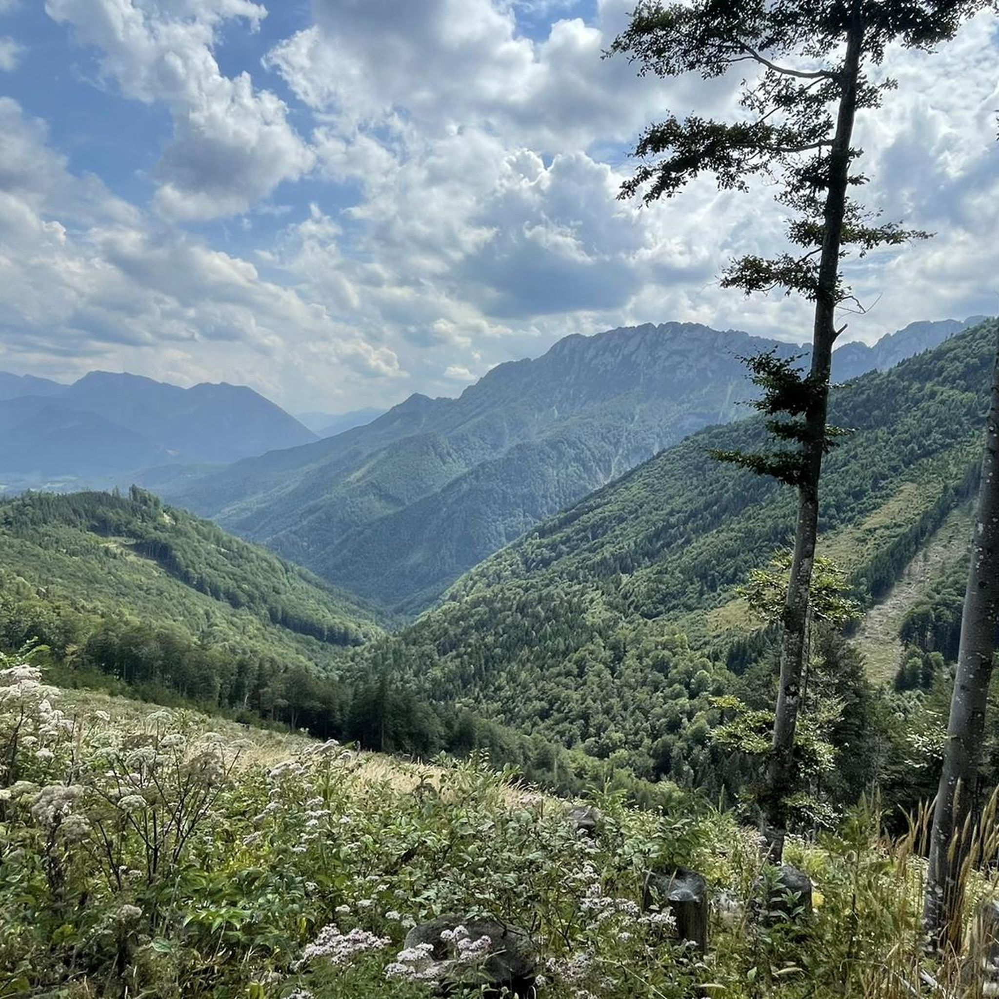
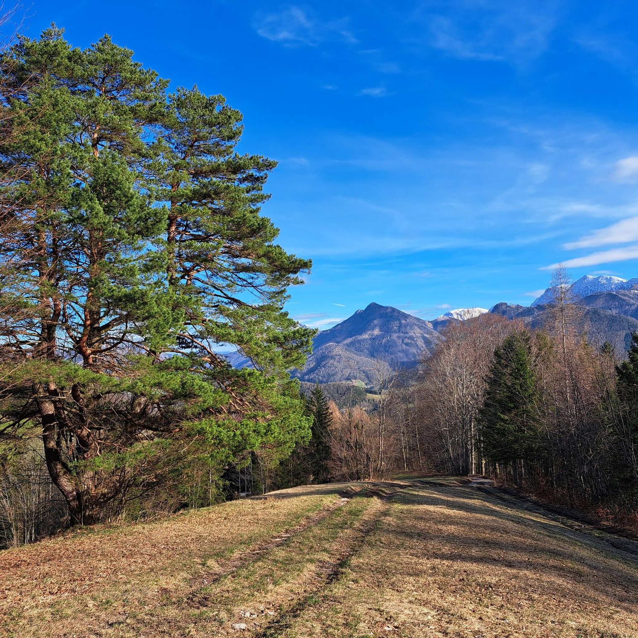
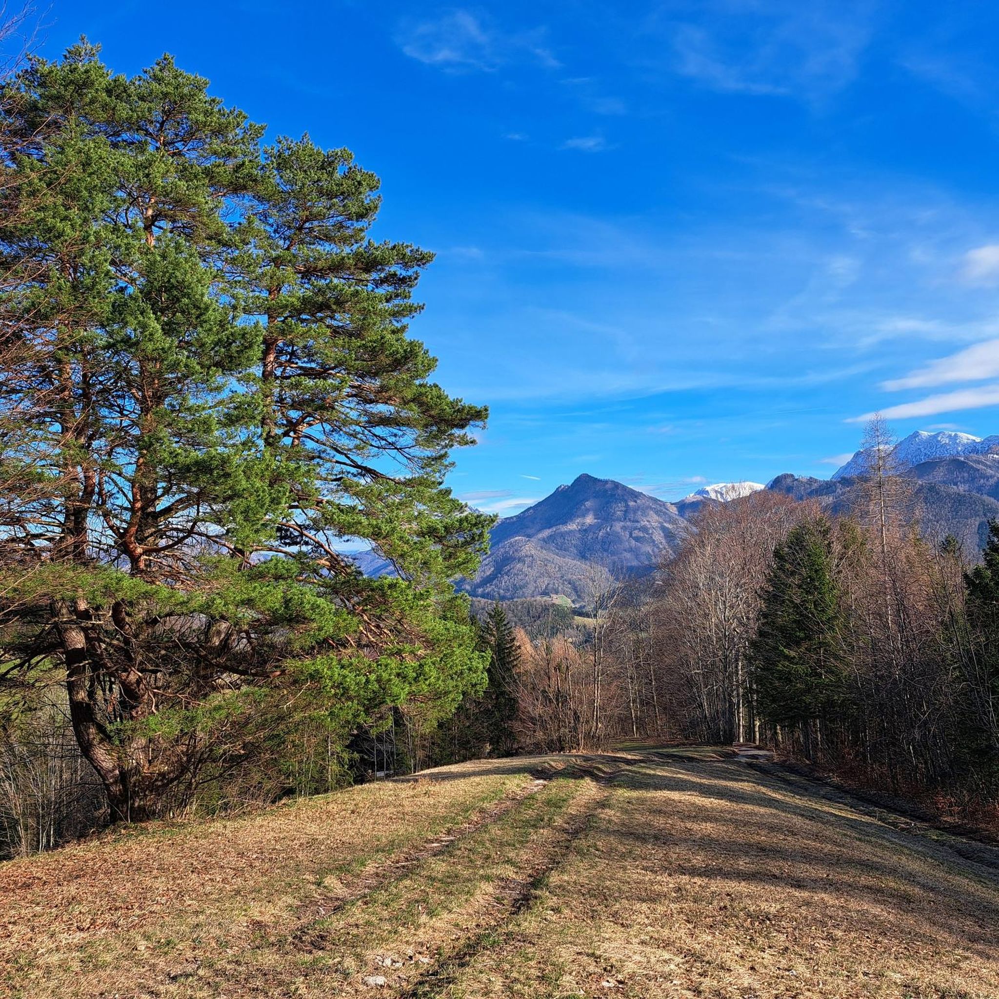
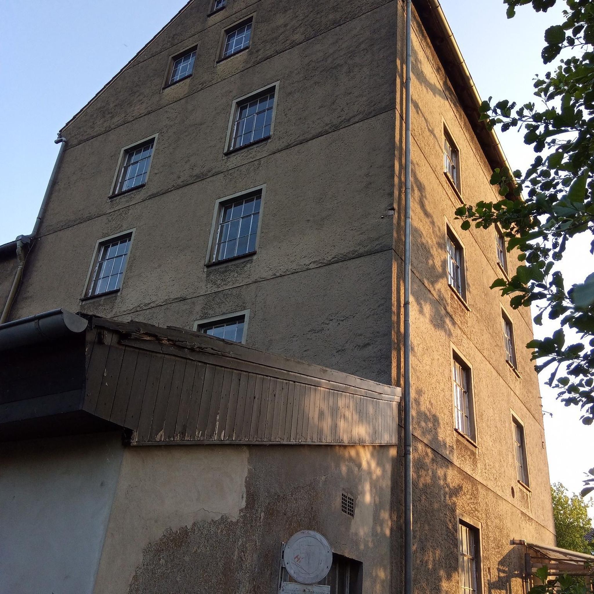

Tips from the Community

The Gradnalm lies at the foot of the rugged ridge of the Kremsmauer
3
0


Hotel/restaurant near the hiking trail, on the other side of the Stefanie Bridge
0
0

A beautiful stretch of road with magnificent views. A stunning natural spectacle. Just take a short break and soak in the perspectives – truly beautiful.
3
0

Make sure to stop here!!!
0
0
Coming from Steyr, this vantage point is just after Molln and offers a wonderful view of the Steyr, which is dug deep into the rock.
0
0

Small rest area and viewing platform into the already deep Steyrtal.
0
0
It is also worth "descending" under the bridge - view of the power plant
0
0
Frequently Asked Questions
How many running routes are available in Micheldorf in Oberösterreich?
There are over 70 running routes around Micheldorf in Oberösterreich, offering a wide range of options for all fitness levels. You'll find everything from easy, mostly paved paths to more challenging trails with significant elevation changes.
What kind of terrain can I expect on the jogging paths around Micheldorf?
The jogging paths in Micheldorf in Oberösterreich feature diverse terrain. You can expect a mix of easy, mostly paved paths, forest roads, and woodland trails. The region is characterized by its mountainous surroundings, including the Sengsengebirge and Schobersteingruppe, dense forests, and open meadows, providing varied running environments.
Are there any easy running routes suitable for beginners or a relaxed jog?
Yes, Micheldorf offers several easy running routes. While many trails have elevation changes, there are 4 routes specifically classified as easy. These paths are generally well-maintained and suitable for a leisurely run or for those new to jogging in the area.
Can I find circular running routes in Micheldorf in Oberösterreich?
Absolutely. Many of the running routes in Micheldorf are designed as loops, allowing you to start and finish in the same location. For example, the View of Georgsberg – Micheldorf in Upper Austria loop from Micheldorf in Oberösterreich is a popular moderate 7.3-mile (11.7 km) circular path, and the Micheldorf in Upper Austria loop from Micheldorf in Oberösterreich offers a 5.5-mile (8.9 km) option through varied local terrain.
What do other runners enjoy most about jogging in Micheldorf in Oberösterreich?
The running routes in Micheldorf in Oberösterreich are highly rated by the komoot community, with an average score of 4.5 stars. Runners often praise the diverse landscapes, from the stunning mountainous backdrops to the peaceful forests and meadows. The variety of terrain and the scenic natural monuments also contribute to a highly enjoyable experience.
Are there any running routes that pass by waterfalls or other natural water features?
Yes, the region around Micheldorf features several beautiful waterfalls and natural water features. You might find routes near highlights such as the Rinnerberger Waterfall, Dorngraben Waterfall, or the Schreibach Waterfall. The Dripping Wall is another unique natural monument to explore.
What are some notable landmarks or points of interest I can see while running in Micheldorf?
Micheldorf offers several interesting landmarks and natural features. The historic Altpernstein Castle, overlooking the Krems Valley, is a prominent sight within the Altpernstein landscape conservation area. You can also discover impressive natural monuments like the Törl Rock Arch, or aim for the Pyramide – Nackter Kalbling loop from Zivilflugplatz Micheldorf which offers challenging terrain and stunning views.
Are there any longer running trails for experienced runners seeking a challenge?
For experienced runners, Micheldorf offers several challenging routes with significant elevation gain. The Pyramide – Nackter Kalbling loop from Zivilflugplatz Micheldorf is a difficult 9.1-mile (14.7 km) trail with over 1200 meters of elevation gain. Another demanding option is the Pfannstein – Gradnalm loop from Zivilflugplatz Micheldorf, which covers 8.1 miles (13.1 km) with over 800 meters of ascent.
What is the best time of year for jogging in Micheldorf in Oberösterreich?
Micheldorf in Oberösterreich is suitable for jogging throughout much of the year. Spring and autumn offer pleasant temperatures and vibrant scenery. Summer provides lush green landscapes, with many routes passing through forests that offer shade. Winter running is also possible, though some higher or more challenging trails might require appropriate gear and caution due to snow or ice.
Are there any specific areas or routes known for their scenic viewpoints?
Yes, the mountainous surroundings of Micheldorf, including the Sengsengebirge and Schobersteingruppe, naturally offer many scenic viewpoints. Routes like the View of Georgsberg – Micheldorf in Upper Austria loop from Micheldorf in Oberösterreich provide excellent vistas. The Kasberg-Gipfelkreuz is also a significant landmark that likely offers impressive panoramic views.
Are there any running routes that are particularly suitable for families?
For families, it's best to look for the easier, less strenuous routes with minimal elevation changes. The 4 routes classified as 'easy' in the region would be a good starting point. These often feature mostly paved paths or well-maintained forest roads, making them more accessible for all ages.
Can I bring my dog on the running trails in Micheldorf?
Many outdoor trails in Austria are dog-friendly, but it's always advisable to check local regulations for specific routes or protected areas. Generally, dogs should be kept on a leash, especially in areas with wildlife or livestock, and owners are expected to clean up after their pets. The Altpernstein landscape conservation area, for example, is a natural habitat where responsible dog ownership is key.
Most popular routes around Micheldorf in Oberösterreich
Most popular attractions around Micheldorf in Oberösterreich

Get inspired with the komoot mobile app


Explore more
Browse the best Running Trails & Routes in other regions.
