The best running trails around Klaus an der Pyhrnbahn
4.5
(90)
3,000
runners
247
runs
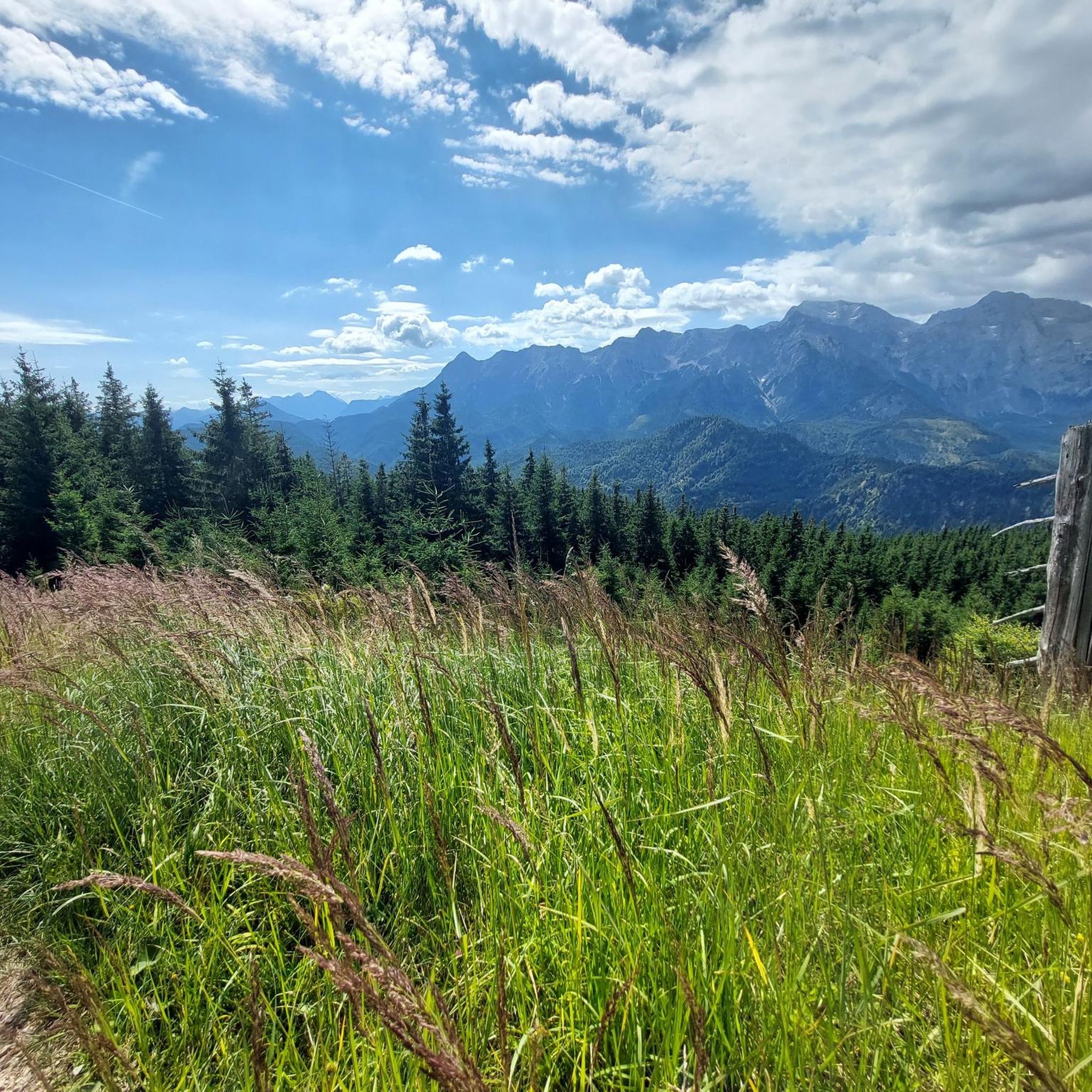
Jogging routes around Klaus an der Pyhrnbahn traverse a landscape characterized by the Klauser reservoir, the scenic Steyrtal valley, and the proximity to the Kalkalpen National Park. The region features a mix of river valleys, dense forests, and the foothills of the Pyhrn-Priel mountains. This area offers diverse terrain for runners, from routes along the reservoir to paths through natural parkland.
Best jogging routes around Klaus an der Pyhrnbahn
- The most popular jogging route is Pyramide loop from Jagdhaus tragl…
Last updated: October 5, 2026
27
runners
Hard run. Very good fitness required. Mostly paved surfaces. Suitable for all skill levels.
5.0
(1)
28
runners
13.7km
01:54
780m
780m
Hard run. Very good fitness required. Mostly paved surfaces. Suitable for all skill levels.

13
runners
16.9km
02:01
190m
190m
Hard run. Very good fitness required. Sure-footedness, sturdy shoes and alpine experience required.
7
runners
Hard run. Very good fitness required. Mostly paved surfaces. Suitable for all skill levels.
13
runners
15.5km
03:10
1,110m
1,110m
Hard run. Very good fitness required. Sure-footedness, sturdy shoes and alpine experience required.
Get access to more routes and recommendations from other explorers.
Already have an account?
Our route recommendations are based on thousands of hikes, rides, and runs completed by other people on komoot.
Start today with a free account
Your next adventure awaits.
Popular around Klaus an der Pyhrnbahn
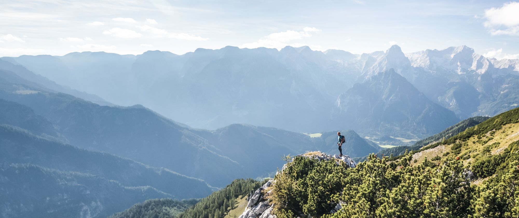
From a family hike to a summit climb – hiking in Pyhrn-Priel
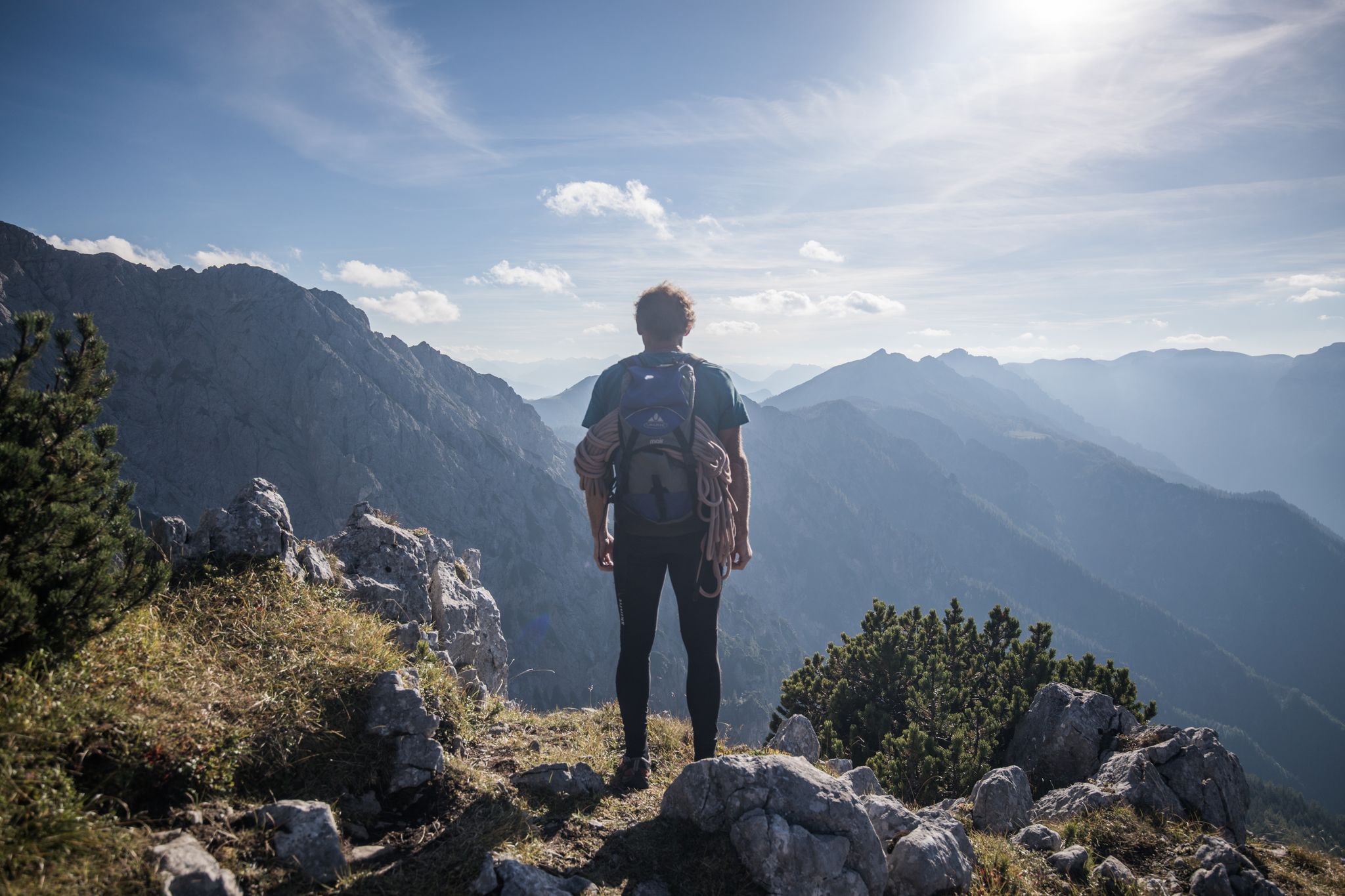
From a family hike to a via ferrata – hiking in Pyhrn-Priel
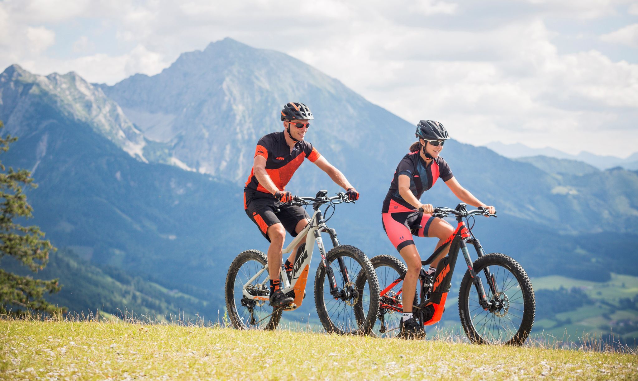
Where biker hearts beat faster — the Limestone Alps in Pyhrn-Priel
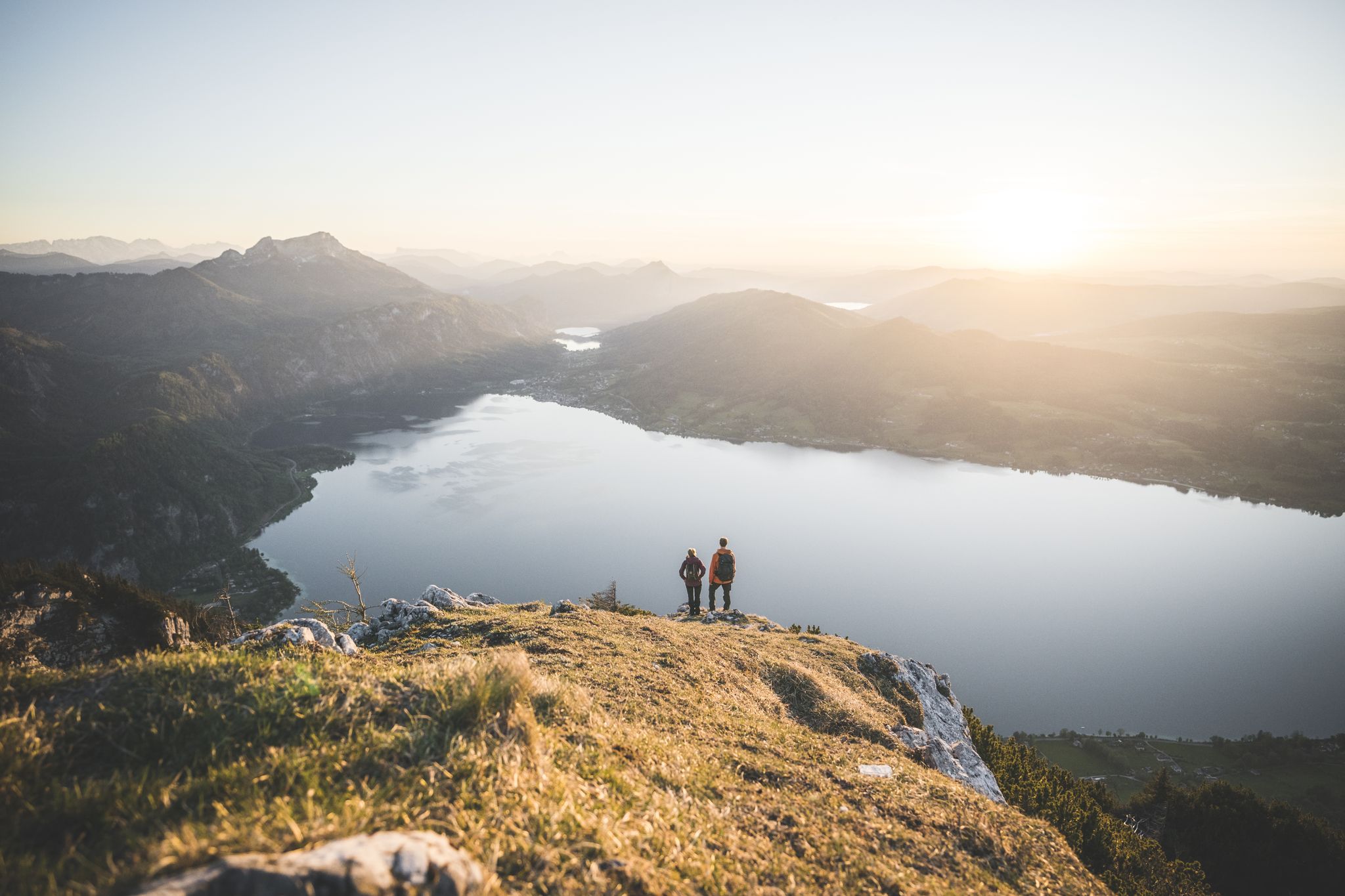
Explore the Salzkammergut on the BergeSeen Trail
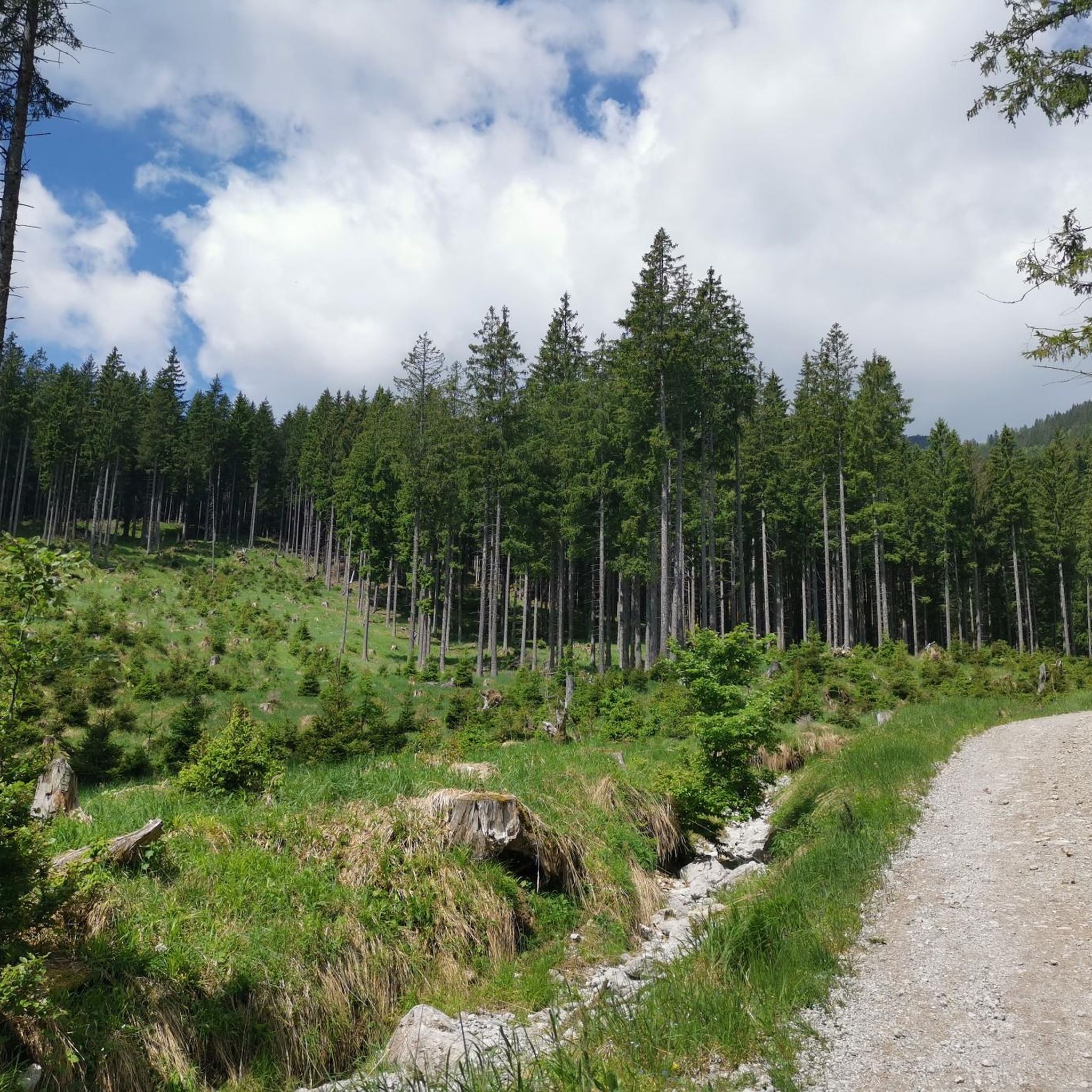
Hiking around Klaus an der Pyhrnbahn
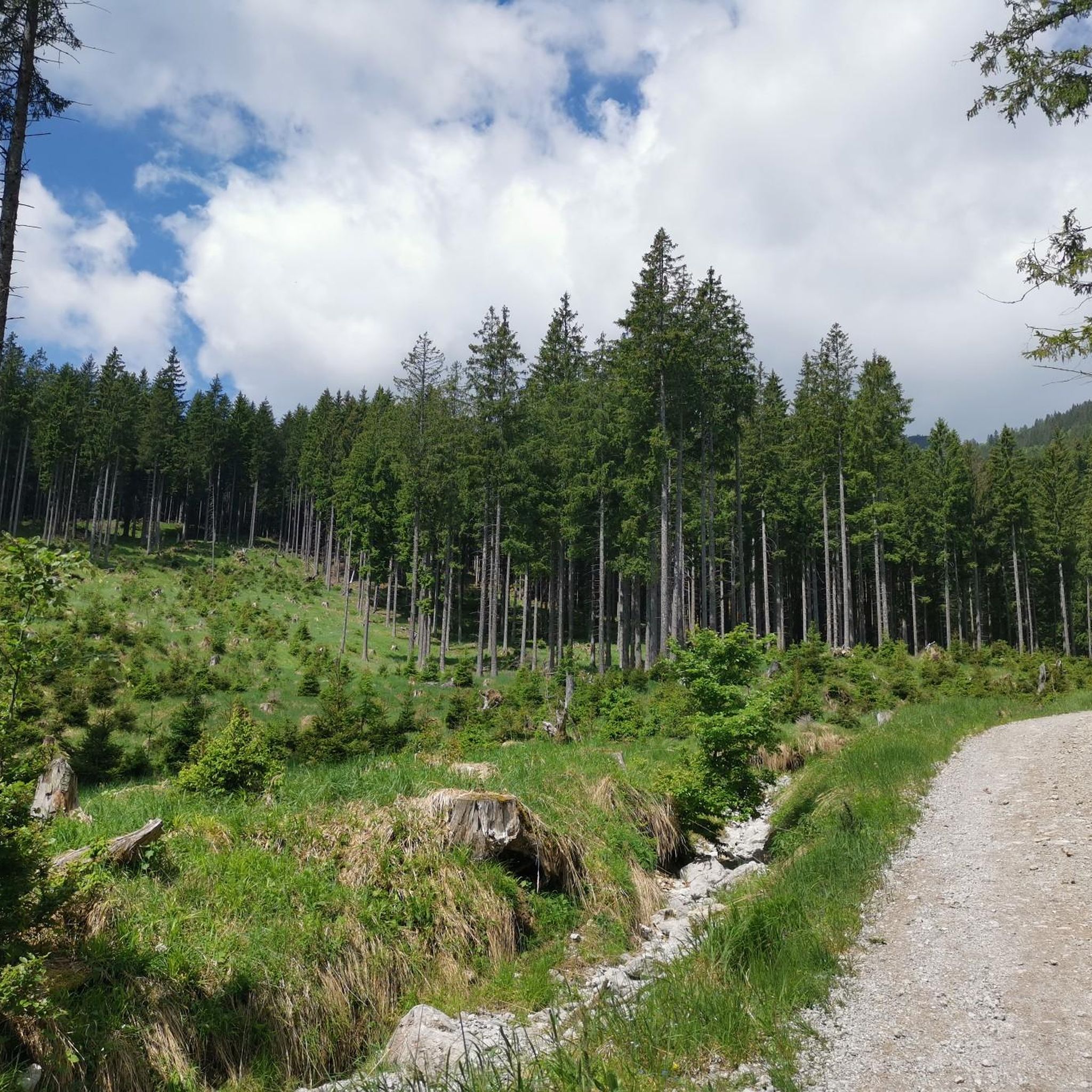
Cycling around Klaus an der Pyhrnbahn
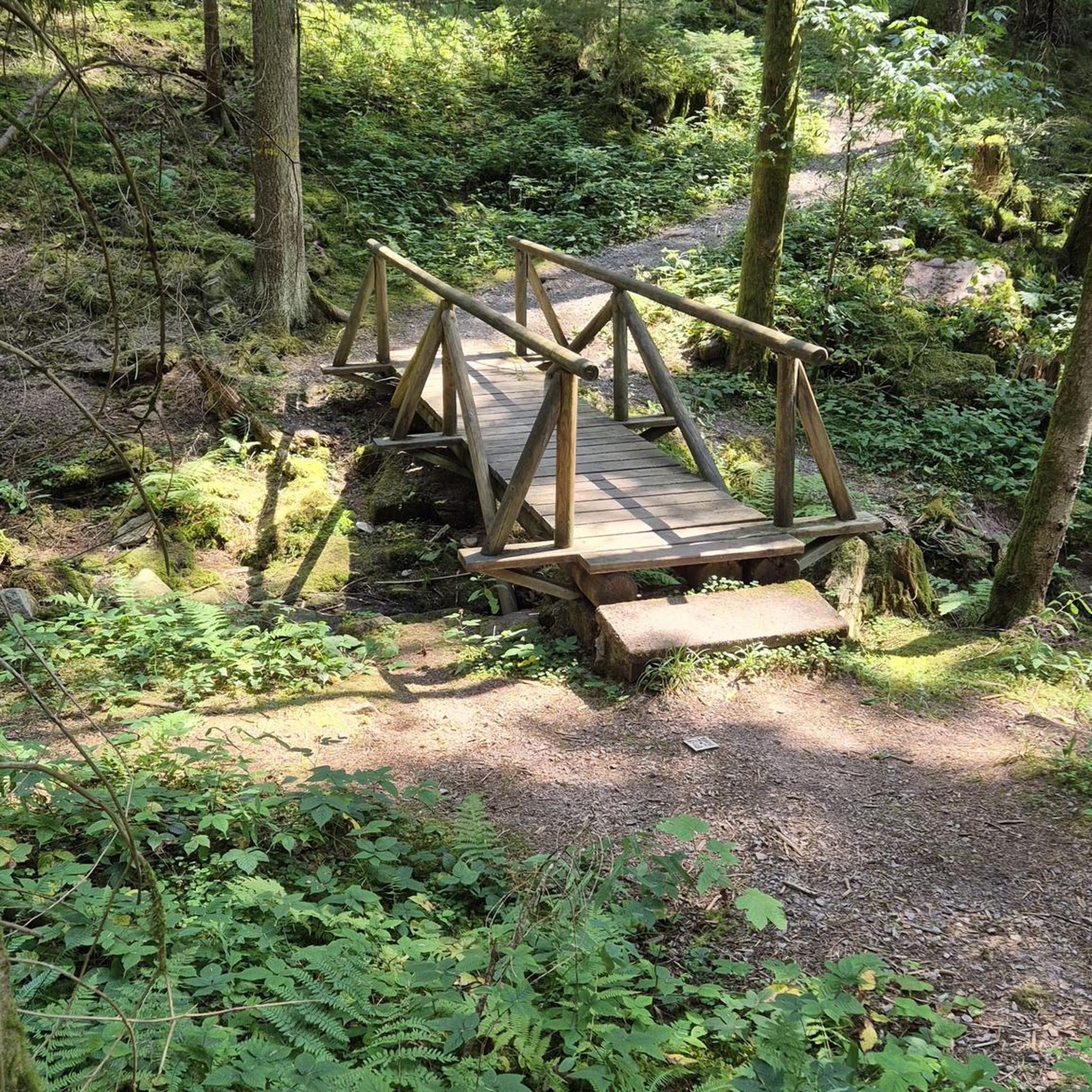
Mountain Hikes around Klaus an der Pyhrnbahn
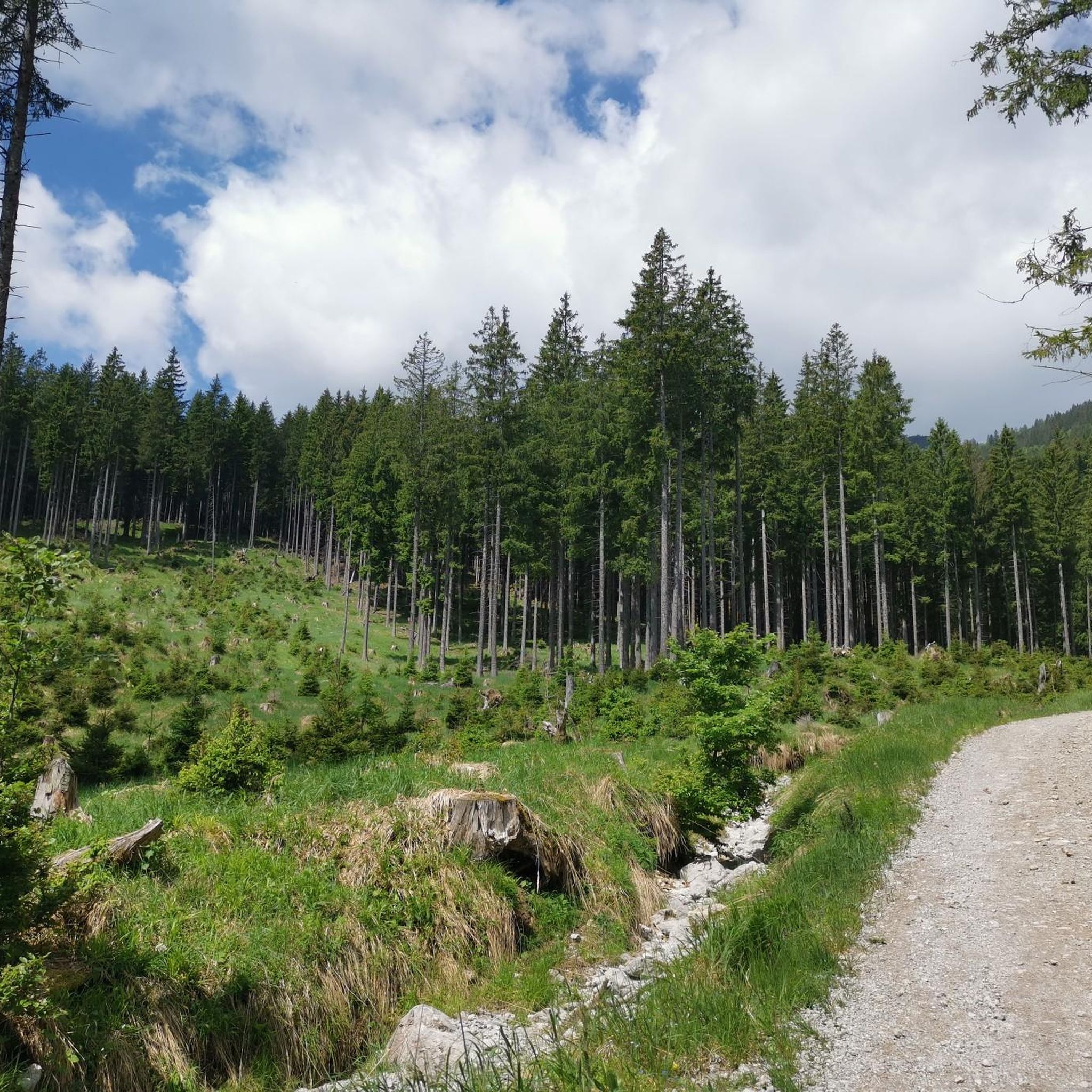
MTB Trails around Klaus an der Pyhrnbahn
Road Cycling Routes around Klaus an der Pyhrnbahn

Gravel biking around Klaus an der Pyhrnbahn
Other adventures around Klaus an der Pyhrnbahn


Tips from the Community

The Klaus reservoir is an approximately 100-hectare, emerald-green natural and recreational paradise.
4
0
Crossing on foot is possible.
4
0
Klaus Castle is an international Christian leisure center and educational institution.
4
0

The less spectacular route before and after this spot is worth it.
1
0

Klaus Castle in Upper Austria is a historically and culturally significant building with a fascinating history. Here are some interesting facts about the castle: 1. History: - The castle's origins date back to the 12th century, making it one of the oldest buildings in the region. - It has served various functions over the centuries and is now a Protestant educational center. 2. Architecture: - The castle is characterized by its impressive architecture, which combines elements from different eras. - The complex is surrounded by a picturesque landscape, which further enhances the overall appearance of the castle. 3. Use: - Today, Klaus Castle serves as an international Christian leisure center and educational center, offering various events and programs. - The Torchbearers Missionary Society is headquartered here and organizes numerous activities. 4. **Leisure Opportunities**: - The area surrounding the castle offers numerous **hiking and walking trails** that highlight the region's natural beauty. - The nearby **Klauser See** is a popular spot for relaxation and leisure activities. 5. **Events**: - The castle regularly hosts **events** and **seminars** aimed at various audiences, from families to groups and individuals. Klaus Castle is therefore not only a historic building, but also a vibrant place for encounters and learning.
1
1
The hut can only be reached on foot.
7
0

The host takes a little getting used to, but the food is very good and the view is fantastic.
3
0

Frequently Asked Questions
How many running routes are available around Klaus an der Pyhrnbahn?
Klaus an der Pyhrnbahn offers a wide selection of running routes, with over 260 trails available. This includes 21 easy routes, 120 moderate routes, and 124 difficult routes, catering to various fitness levels and preferences.
What kind of terrain can I expect on the jogging trails in Klaus an der Pyhrnbahn?
The jogging trails in Klaus an der Pyhrnbahn traverse diverse terrain, characterized by the picturesque Klauser reservoir, the scenic Steyrtal valley, and the foothills of the Pyhrn-Priel mountains. You'll find routes winding through river valleys, dense forests, and paths near the Kalkalpen National Park, offering a mix of flat sections and challenging ascents.
Are there easy running routes suitable for beginners in Klaus an der Pyhrnbahn?
Yes, there are 21 easy running routes around Klaus an der Pyhrnbahn, perfect for beginners or those looking for a more relaxed jog. These paths often follow gentler gradients and provide a great way to enjoy the region's natural beauty without significant elevation challenges.
What are some popular circular running routes in the area?
Many runners enjoy circular routes that showcase the region's highlights. A notable option is the Klaus Castle – Klauser Reservoir loop from Klaus, which offers a scenic 10.5-mile (16.9 km) run around the reservoir and past the historic castle.
Are there any running routes that pass by waterfalls or other natural attractions?
Yes, the region is rich in natural beauty. While specific routes aren't listed as passing directly by waterfalls, the area around Klaus an der Pyhrnbahn is known for its waterfalls. You can explore highlights like the Klinserfall Waterfall or the Rinnerberger Waterfall, which are nearby attractions that might be incorporated into a longer run or visited separately.
What do other runners enjoy most about jogging in Klaus an der Pyhrnbahn?
The running routes in Klaus an der Pyhrnbahn are highly rated by the komoot community, with an average score of 4.6 stars from over 70 reviews. Runners often praise the diverse landscapes, from the tranquil Klauser reservoir to the challenging forest trails, and the well-maintained paths that offer a rewarding experience for all levels.
Can I find routes that offer views of the Klauser reservoir?
Absolutely. The Klauser reservoir is a central feature of the region, and many running routes offer stunning views of its romantic waters. The Klaus Castle – Klauser Reservoir loop from Klaus is a prime example, providing extensive vistas of the reservoir and its surroundings.
Are there any challenging running trails for experienced runners?
For experienced runners seeking a challenge, Klaus an der Pyhrnbahn offers 124 difficult routes. One such demanding trail is the Steyrer Hut loop from Brunnental, an 8.5-mile (13.7 km) route with significant elevation gain through varied forest and mountain terrain.
What are some points of interest or landmarks I might see while running?
Beyond the natural beauty, you might encounter historical sites like Schloss Klaus, which offers expansive grounds. The region also features the scenic Steyrtal valley and is close to the Kalkalpen National Park. For specific natural landmarks, consider visiting the Almsee or the Schiederweiher, both beautiful lakes in the broader area.
Are there any long-distance running options available?
Yes, for those looking for longer runs, the region provides several options. The Leonsteinerhof – Steyr breakthrough loop from Wallfahrtskirche Frauenstein is a challenging 14.1-mile (22.7 km) route that allows for an extended exploration of the landscape.
Can I find running routes that follow the Steyr River?
Yes, the Steyr River is a prominent feature of the region, and you can find routes that follow its course. The Steyr breakthrough – Leonsteinerhof loop from Frauenstein Abzw Steyrtalstraße is a difficult 11.7-mile (18.8 km) path that closely follows the Steyr River, showcasing the valley's natural beauty.
Is Klaus an der Pyhrnbahn a good destination for trail running?
With its location at the onset of the Pyhrn-Priel region and proximity to the Kalkalpen National Park, Klaus an der Pyhrnbahn is an excellent destination for trail running. The area offers a mix of dense forests, varied elevations, and natural paths, providing a true trail running experience for those who enjoy off-road adventures.
Most popular routes around Klaus an der Pyhrnbahn
Most popular attractions around Klaus an der Pyhrnbahn

Get inspired with the komoot mobile app


Explore more
Browse the best Running Trails & Routes in other regions.
