The best walks and hikes around Benington
4.5
(1175)
6,959
hikers
594
hikes
Hiking trails around Benington are primarily characterized by gentle rolling terrain, open fields, and tree-lined paths typical of the English countryside. The region offers a network of routes that traverse agricultural land and quiet lanes, providing accessible outdoor experiences. Elevations are generally low, making most trails suitable for a wide range of abilities.
Best hiking trails around Benington
- The most popular hiking route is Walkern Hall Grounds – Tree-Lined Path Through Fields loop from Benington, a 5.9 miles (9.5…
Last updated: May 26, 2026
4.0
(1)
10
hikers
Moderate hike. Good fitness required. Easily-accessible paths. Suitable for all skill levels.
4.7
(3)
12
hikers
Moderate hike. Good fitness required. Easily-accessible paths. Suitable for all skill levels.

Sign up for free
5.0
(2)
9
hikers
10.3km
02:46
120m
120m
Moderate hike. Good fitness required. Easily-accessible paths. Suitable for all skill levels.
4.0
(3)
5
hikers
Moderate hike. Good fitness required. Easily-accessible paths. Suitable for all skill levels.
5.0
(1)
5
hikers
3.08km
00:49
30m
30m
Easy hike. Great for any fitness level. Easily-accessible paths. Suitable for all skill levels.
Get access to more routes and recommendations from other explorers.
Sign up for free
Already have an account?
Our route recommendations are based on thousands of hikes, rides, and runs completed by other people on komoot.
Start today with a free account
Your next adventure awaits.
Login or Signup
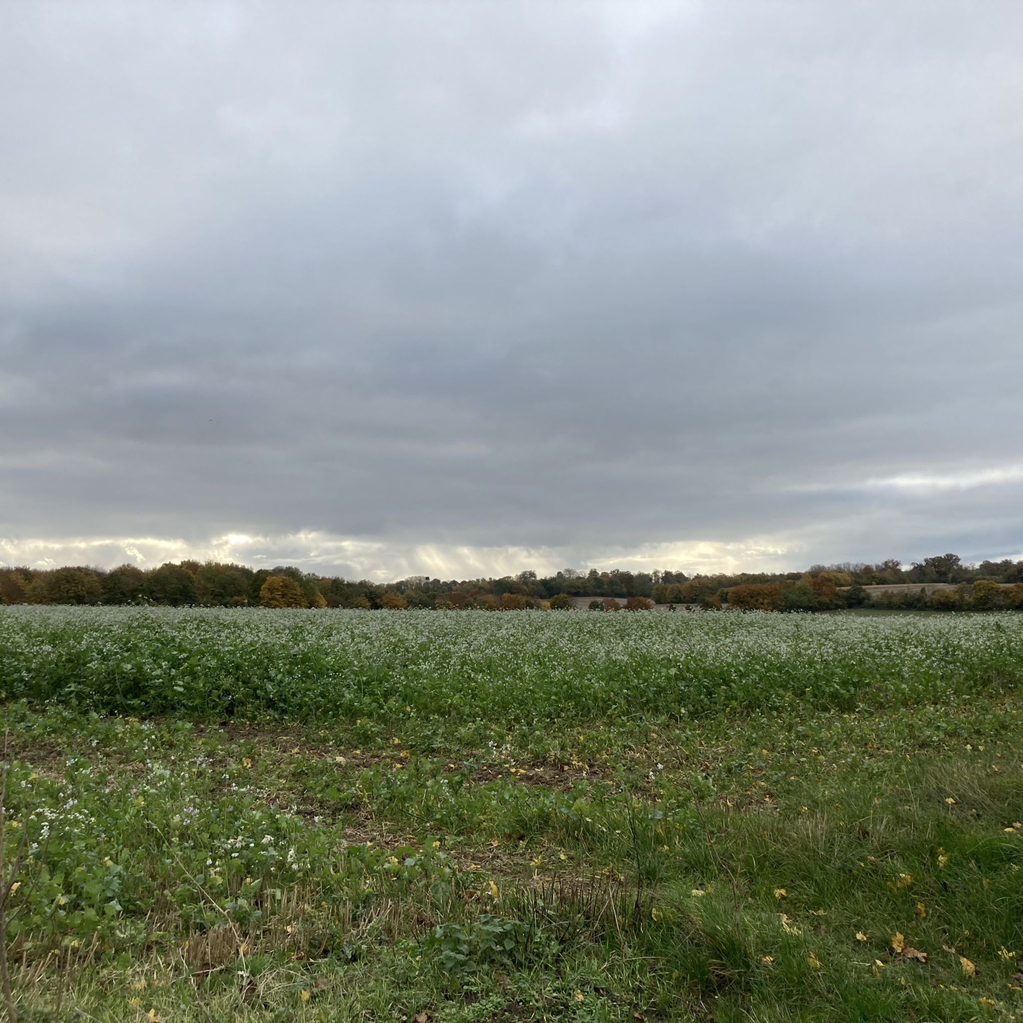
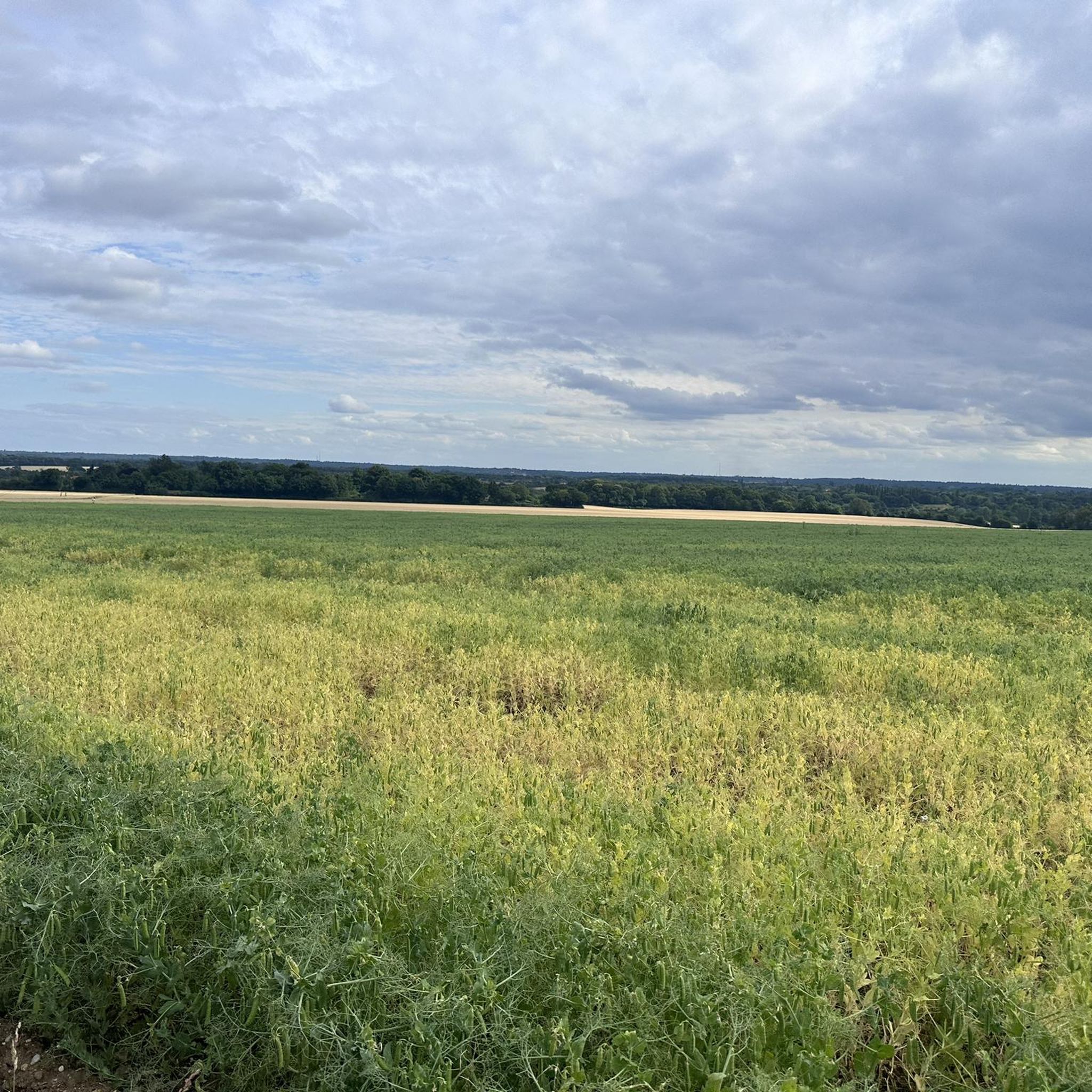
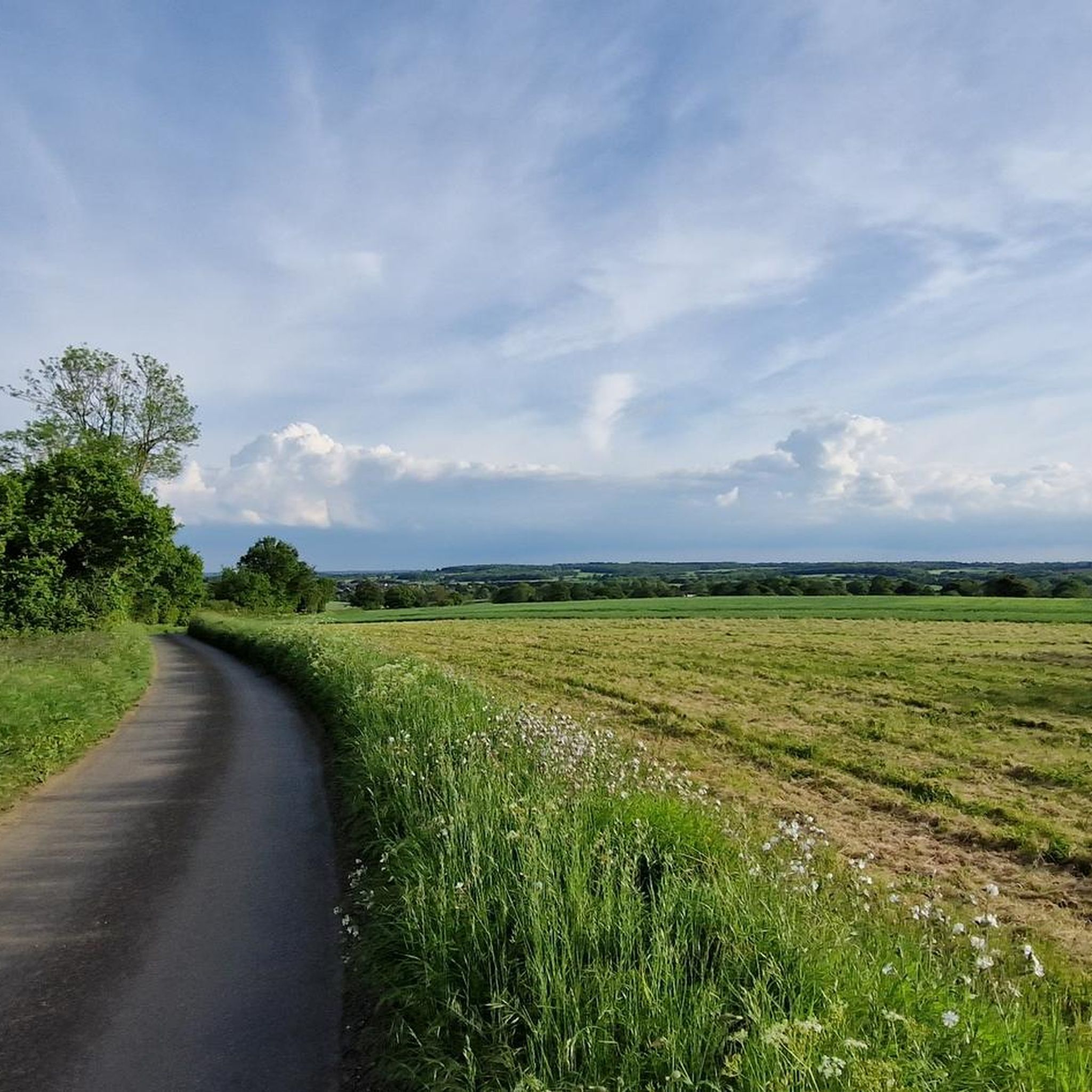
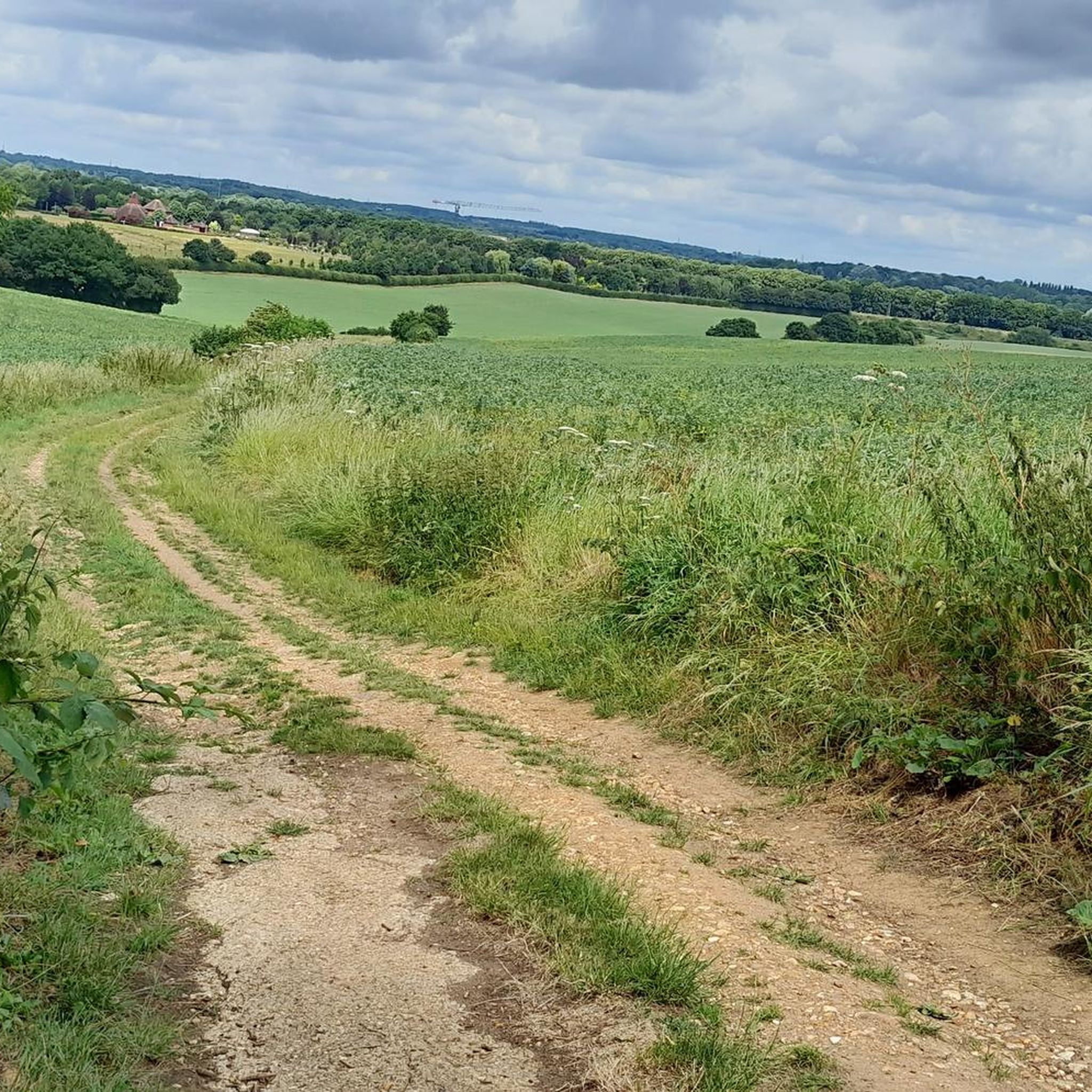
Tips from the Community


It's a great pub for a drink, with a good selection of beers and I have never had a bad pint there. Check their website opening hours as it is not open throughout the day.
0
0

Nice pub with good food cooked on site, decent size garden for outdoor dining and children's play area
0
0


Nice bridleway on the outskirts of Stevenage. Tree lined so pretty good surface mos of the year round.
0
0

Excellent trails through the stunning grounds of Walkern Hall
0
0

Frequently Asked Questions
What is the typical terrain like for hiking around Benington?
Hiking trails around Benington are generally characterized by gentle rolling terrain, open fields, and tree-lined paths. The routes traverse agricultural land and quiet country lanes, offering accessible outdoor experiences typical of the English countryside.
Are there many hiking routes available in Benington?
Yes, there are over 600 hiking routes available around Benington. These range from easy strolls to more moderate loops, catering to various ability levels.
What do other hikers say about the trails in Benington?
The hiking routes in Benington are highly rated by the komoot community, with an average score of 4.6 stars from over 1000 reviews. Hikers often praise the peaceful countryside, well-maintained paths, and scenic views across open fields.
Are there any easy hiking trails suitable for beginners in Benington?
Yes, Benington offers a good selection of easy trails. For example, The Crown Pub loop from Aston is an easy 3 km route that takes just under an hour to complete, perfect for a relaxed walk.
Are there any circular walks available in Benington?
Many of the trails around Benington are circular. Popular options include the Walkern Hall Grounds – Tree-Lined Path Through Fields loop from Benington and the Lotyve Forge Soldier Memorial loop from Benington, both offering varied countryside experiences.
What kind of landmarks or points of interest can I find near the hiking trails?
Around Benington, you can discover various points of interest. These include historical sites like Hertford Castle and the unique Cromer Windmill. For nature lovers, there's the King's Meads Nature Reserve and the Lea Valley Canal.
Are there places to eat or drink near the hiking routes?
Yes, you can find places to refresh yourself. For instance, Emily's Tea Shop is a local highlight, and many routes pass through or near villages with traditional pubs.
Where can I park when hiking in Benington?
Parking options are available in the area. One specific highlight is Cole Green Station, which offers parking facilities for hikers exploring nearby trails.
What is the best time of year to go hiking in Benington?
The English countryside around Benington is enjoyable throughout the year. Spring brings wildflowers, summer offers pleasant long days, autumn showcases beautiful foliage, and winter provides crisp, quiet walks, especially across the open fields.
Are there any longer, more challenging hikes in the Benington area?
While most trails are moderate, there are longer options. For example, the Dumble & Coombe Nature Reserve – View of the Countryside Fields loop from Little Munden is a moderate 12 km route with more elevation gain, taking around 3 hours 12 minutes to complete.
Can I bring my dog on the hiking trails in Benington?
Many trails in the English countryside are dog-friendly, especially those traversing public footpaths and open fields. However, always keep dogs under control, particularly when passing through farmland with livestock, and check local signage for any specific restrictions.
Most popular attractions around Benington

Get inspired with the komoot mobile app


Explore more
Browse the best Hikes in other regions.
