The best mountain hikes around Ulrichsberg
4.7
(11)
217
hikers
13
hikes
Mountaineering around Ulrichsberg offers a diverse range of routes within the Bezirk Rohrbach region. The area features a landscape characterized by forested slopes, challenging ascents, and panoramic views, often including reservoirs and rock formations. With 14 designated mountaineering routes, including 2 easy, 1 moderate, and 11 difficult options, the region caters to various skill levels.
Best mountaineering routes around Ulrichsberg
- The most popular mountaineering route is Dreisessel – Stifter-Dachl loop from Lackenhäuser, a 10.4 miles (16.7 km) trail that takes 5 hours 54 minutes to complete. This difficult route offers a challenging loop through varied terrain.
- Another top favourite among local mountaineers is Adalbert Stifter Shelter – View of Lipno Reservoir loop from Schwarzenberg am Böhmerwald, a difficult 9.6 miles (15.4 km) path. This route features significant elevation gain and views of the Lipno Reservoir.
- Local mountaineers also love the Teufelsschüssel Rock Formation – Plöckenstein Summit Cross loop from Schwarzenberg am Böhmerwald, a 6.7 miles (10.9 km) trail leading through rock formations and towards a summit cross, often completed in about 3 hours 38 minutes.
- Mountaineering around Ulrichsberg is defined by forested mountains, prominent rock formations, and scenic viewpoints, offering routes for both experienced mountaineers and those seeking moderate challenges. The network provides options for different ability levels, from easier paths to difficult ascents.
- The routes in Ulrichsberg are highly rated by the komoot community with an average score of 4.6 stars from 10 reviews. More than 200 mountaineers have used komoot to explore Ulrichsberg's varied terrain.
Last updated: July 2, 2026
5.0
(2)
41
hikers
16.7km
05:54
630m
630m
Hard mountaineering route. Very good fitness required. Sure-footedness, sturdy shoes and alpine experience required.
4.0
(3)
19
hikers
Hard mountaineering route. Very good fitness required. Sure-footedness, sturdy shoes and alpine experience required.

Sign up for free
17
hikers
Hard mountaineering route. Good fitness required. Sure-footedness, sturdy shoes and alpine experience required.
10
hikers
Hard mountaineering route. Good fitness required. Sure-footedness, sturdy shoes and alpine experience required.
9
hikers
13.5km
04:20
480m
480m
Moderate mountaineering route. Good fitness required. Mostly accessible paths. Sure-footedness required.
Get access to more routes and recommendations from other explorers.
Sign up for free
Already have an account?
Our route recommendations are based on thousands of hikes, rides, and runs completed by other people on komoot.
Start today with a free account
Your next adventure awaits.
Login or Signup
Popular around Ulrichsberg

Nordwaldkamm trail – Hiking between the Czech Republic and Austria
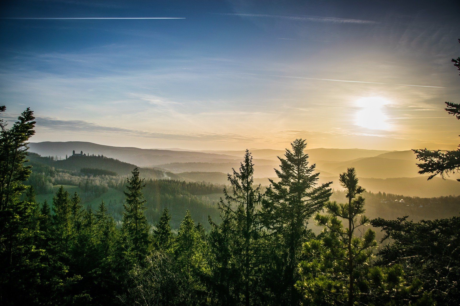
The Path of Deceleration – hiking through the Bohemian Forest
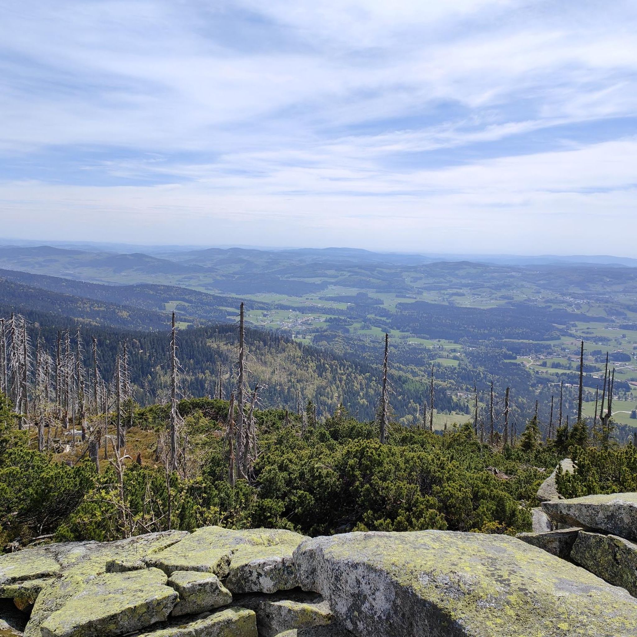
Hiking around Ulrichsberg
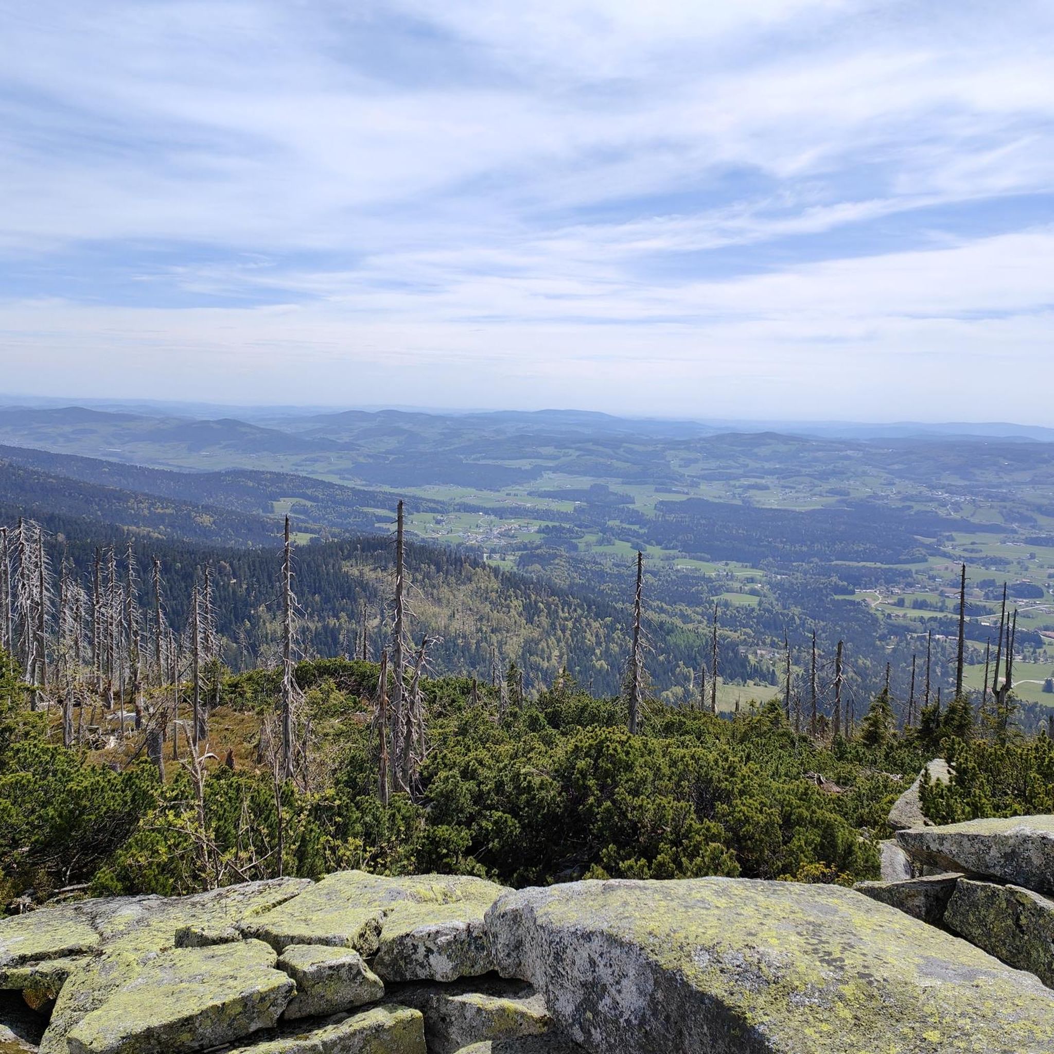
MTB Trails around Ulrichsberg
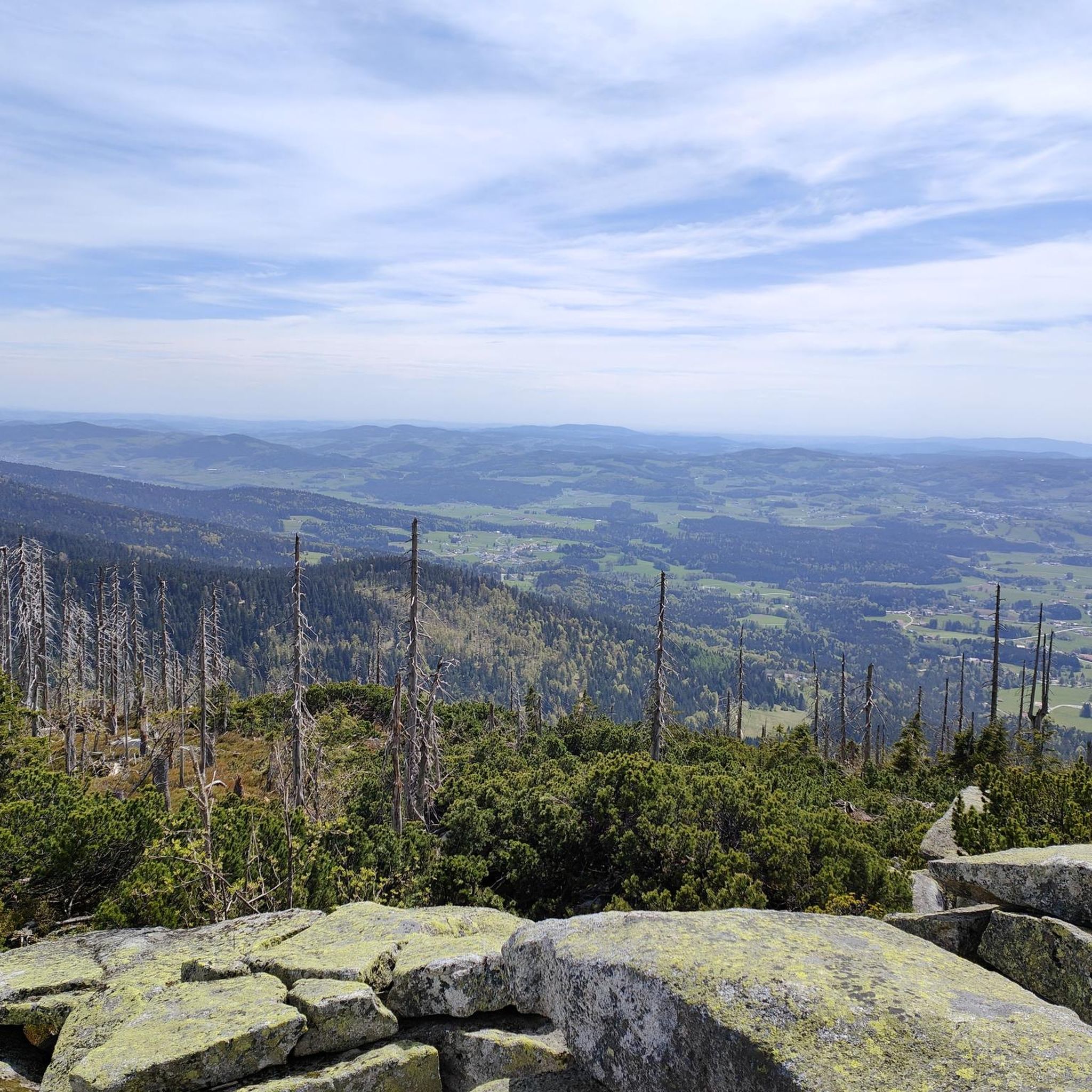
Cycling around Ulrichsberg
Road Cycling Routes around Ulrichsberg
Running Trails around Ulrichsberg

Gravel biking around Ulrichsberg


Tips from the Community

Gasthof is open from Wednesday to Sunday (as of 2026)
5
0

Beautiful rocks up here and a magnificent 360-degree panorama from the Dreisesselfelsen. The ascent is moderate until the last hairpin bend, then it really gets going, but then it's done!
0
0

Steep trail to Plöckenstein from the lake. Partially very steep and technical.
0
0
Beautiful viewpoint with great long-distance views of the Lipno Reservoir.
0
0
Dreiländereck with possibility for a break.
0
0

Three-country border region 🇨🇿 CZ 🇦🇹 A 🇩🇪 D
0
0

A very beautiful sculpture of the three countries.
0
0

Take a break: The Gasthof Dreiländereck is located right by the trail, offering a sun terrace, regional cuisine, a beer culture, and a view that will make you breathe deeply. Helmet off, raise a glass, enjoy – and then continue on your way, refreshed and invigorated. https://gasthof-dreilaendereck.com
0
0
Frequently Asked Questions
What kind of difficulty can I expect on mountaineering routes around Ulrichsberg?
Mountaineering around Ulrichsberg offers a range of difficulties. The region features 14 designated routes, with 2 considered easy, 1 moderate, and 11 difficult. This variety ensures options for both experienced mountaineers and those seeking a more challenging ascent through forested slopes and panoramic viewpoints.
Are there any circular mountaineering routes in the Ulrichsberg area?
Yes, many of the mountaineering routes around Ulrichsberg are designed as circular tours. For example, the challenging Dreisessel – Stifter-Dachl loop from Lackenhäuser is a popular option, covering 16.7 km. Another excellent choice is the Adalbert Stifter Shelter – View of Lipno Reservoir loop from Schwarzenberg am Böhmerwald, which offers significant elevation gain and stunning reservoir views.
What are some notable natural attractions or landmarks I can see along the mountaineering routes?
The routes often lead past significant natural features. You can explore the Hüllstein Rock Formation or the Grüneisfelsen (1,040 m). The Teufelsschüssel Rock Formation – Plöckenstein Summit Cross loop from Schwarzenberg am Böhmerwald specifically highlights a prominent rock formation and a summit cross.
Are there any routes that offer views of the Lipno Reservoir?
Absolutely. The Adalbert Stifter Shelter – View of Lipno Reservoir loop from Schwarzenberg am Böhmerwald is a difficult route specifically known for its expansive views of the Lipno Reservoir. It's a challenging but rewarding experience.
What do other mountaineers enjoy most about the routes in Ulrichsberg?
The mountaineering routes in Ulrichsberg are highly rated by the komoot community, with an average score of 4.6 stars from 10 reviews. Mountaineers often praise the diverse terrain, the challenging ascents, and the panoramic views, especially those including reservoirs and unique rock formations.
Are there any beginner-friendly mountaineering options in Ulrichsberg?
While most routes are difficult, there are 2 easy mountaineering routes available in Ulrichsberg. These provide a good starting point for those new to mountaineering or looking for a less strenuous experience in the region's beautiful landscape.
What is the typical duration for mountaineering routes in this area?
The duration varies significantly depending on the route's length and difficulty. For example, the difficult Dreisessel – Stifter-Dachl loop from Lackenhäuser typically takes around 5 hours 54 minutes, while the Teufelsschüssel Rock Formation – Plöckenstein Summit Cross loop from Schwarzenberg am Böhmerwald can be completed in about 3 hours 38 minutes.
Are there any routes that pass by historical or interesting monuments?
Yes, some routes offer glimpses of historical markers. The Monument at the Tripoint – Boundary stone at the tripoint loop from Lackenhäuser is a difficult route that specifically leads to a monument and boundary stone, offering a unique point of interest during your mountaineering trip.
Can I find any routes that feature water-related sights, like a water wheel?
Indeed. The moderate Water Wheel in Mühlviertel – Panyhaus Country Inn loop from Aigen-Schlägl is a great option if you're looking for a route that includes a charming water feature. This route also offers a chance to experience the local countryside.
What is the best time of year for mountaineering in Ulrichsberg?
The region's forested slopes and challenging ascents are generally best enjoyed during the warmer months, typically from late spring to early autumn. This period offers more stable weather conditions and clearer paths, making for a more enjoyable and safer mountaineering experience.
Are there any caves to explore near the mountaineering trails?
Yes, the Ulrichsberg area is home to several caves that you might find interesting. Notable examples include the Drucker-Franzl cave, Pfaffenhaus Cave, and Robber's Cave. These can be explored as separate highlights or sometimes found near the general mountaineering region.
Most popular routes around Ulrichsberg
Most popular attractions around Ulrichsberg

Get inspired with the komoot mobile app


Explore more
Browse the best Mountain Hikes & Routes in other regions.
