The best mountain hikes around Strass im Zillertal
4.8
(479)
3,736
hikers
98
hikes
Mountaineering routes around Strass im Zillertal are set within Austria's Ziller Valley, characterized by the dramatic alpine landscape of the Zillertal Alps. The region features majestic peaks, glaciated alpine worlds, and a diverse network of trails. This area offers a wide spectrum of high-alpine adventures, from challenging summit ascents to routes traversing gorges and valleys.
Best mountaineering routes around Strass im Zillertal
- The most popular mountaineering route is Astenauer Alpe – Ebener Joch Summit loop from Eben am Achensee,…
Last updated: August 31, 2026
4.8
(6)
70
hikers
9.14km
05:11
990m
990m
Hard mountaineering route. Very good fitness required. Sure-footedness, sturdy shoes and alpine experience required.
5.0
(7)
49
hikers
13.4km
06:09
1,000m
1,000m
Hard mountaineering route. Very good fitness required. Sure-footedness, sturdy shoes and alpine experience required.

Sign up for free
5.0
(3)
31
hikers
11.0km
04:15
600m
600m
Moderate mountaineering route. Good fitness required. Mostly accessible paths. Sure-footedness required.
5.0
(1)
11
hikers
7.00km
03:07
570m
570m
Moderate mountaineering route. Good fitness required. Mostly accessible paths. Sure-footedness required.
5.0
(1)
6
hikers
18.3km
08:02
1,460m
1,460m
Hard mountaineering route. Very good fitness required. Mostly accessible paths. Sure-footedness required.
Get access to more routes and recommendations from other explorers.
Sign up for free
Already have an account?
Our route recommendations are based on thousands of hikes, rides, and runs completed by other people on komoot.
Start today with a free account
Your next adventure awaits.
Login or Signup
Popular around Strass im Zillertal
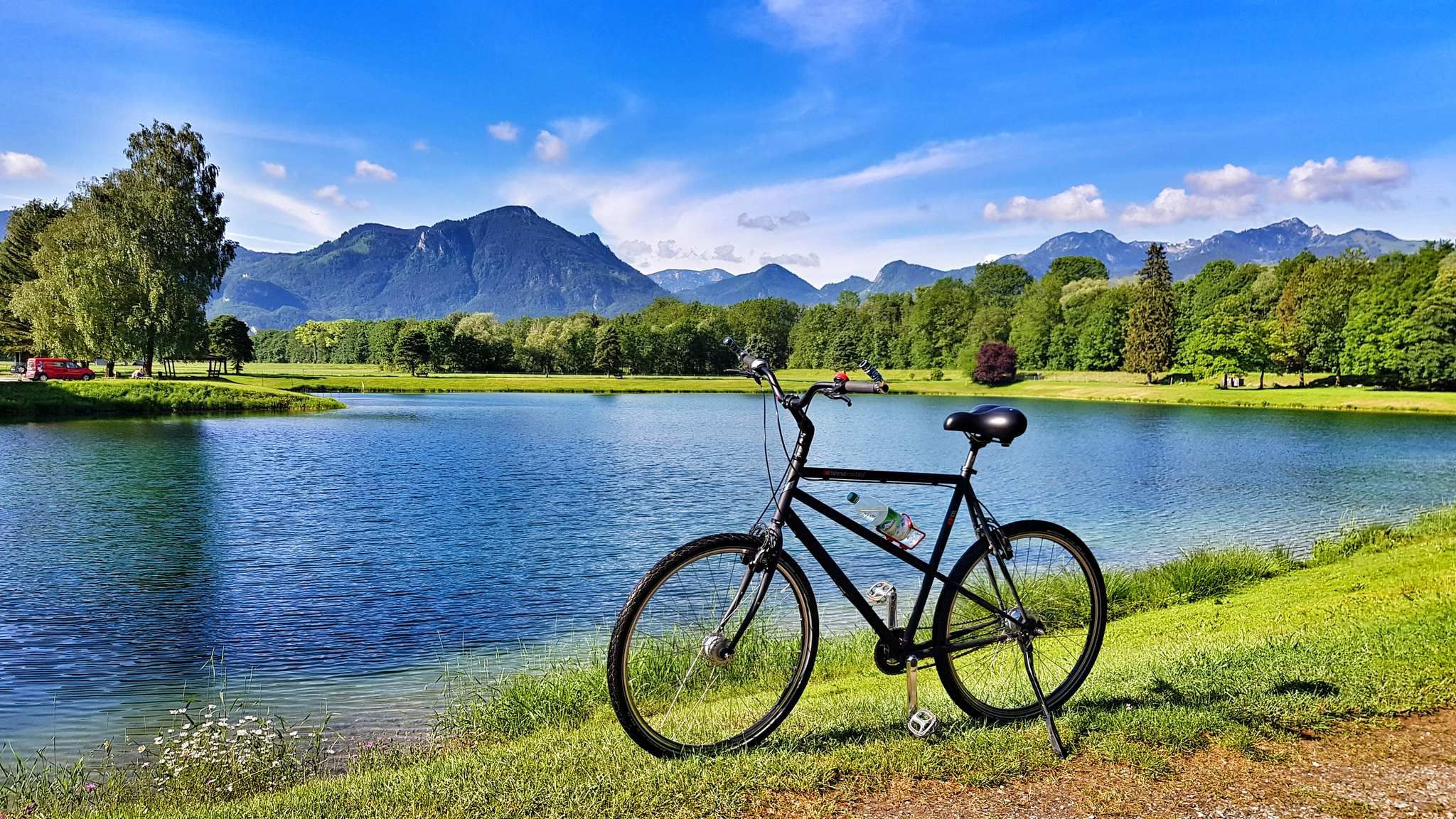
The Inn Cycle Path – From a babbling brook to a mighty river
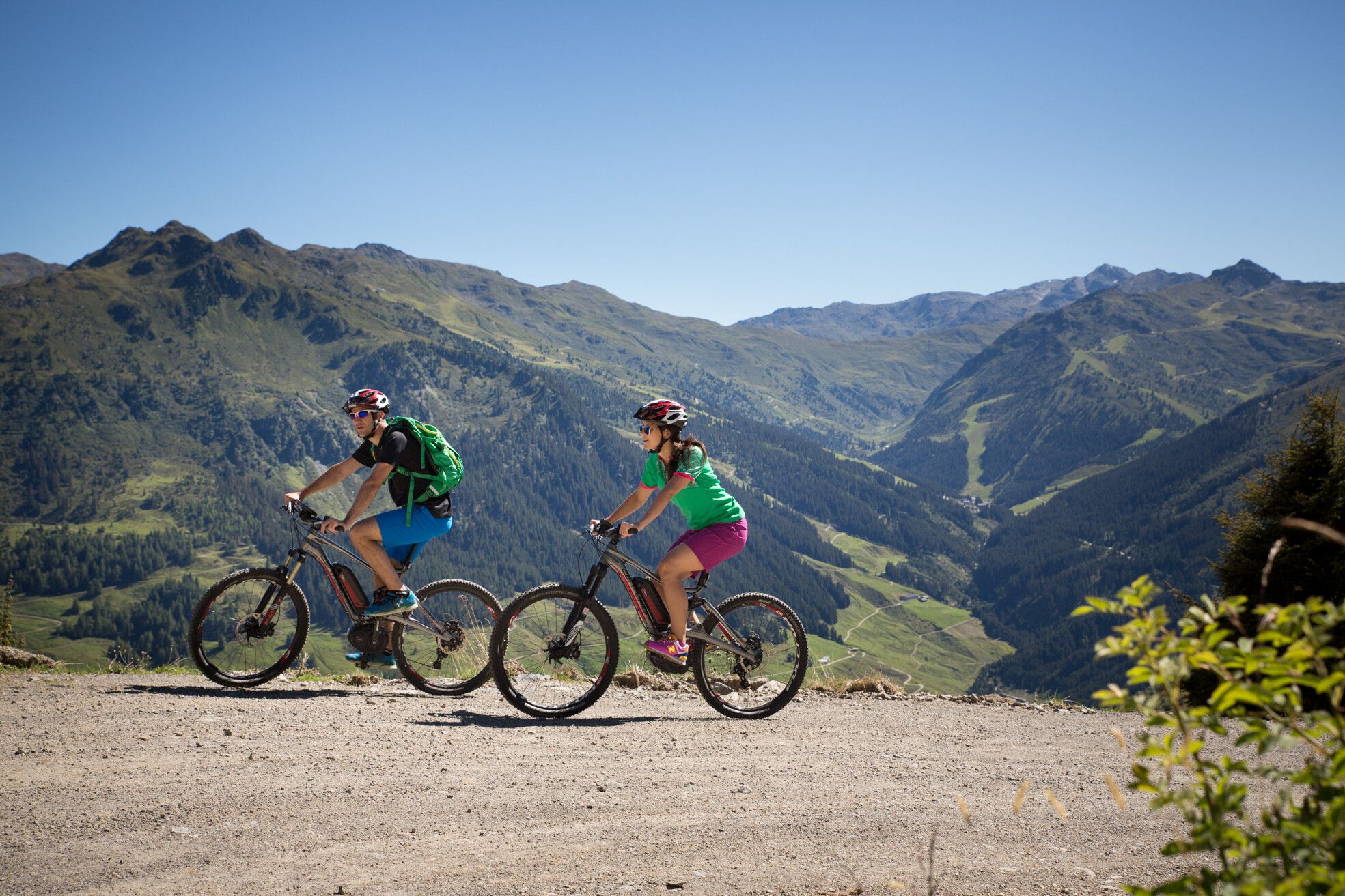
MTBing in Austria’s Zillertal Valley – explore the Fügen-Kaltenbach region
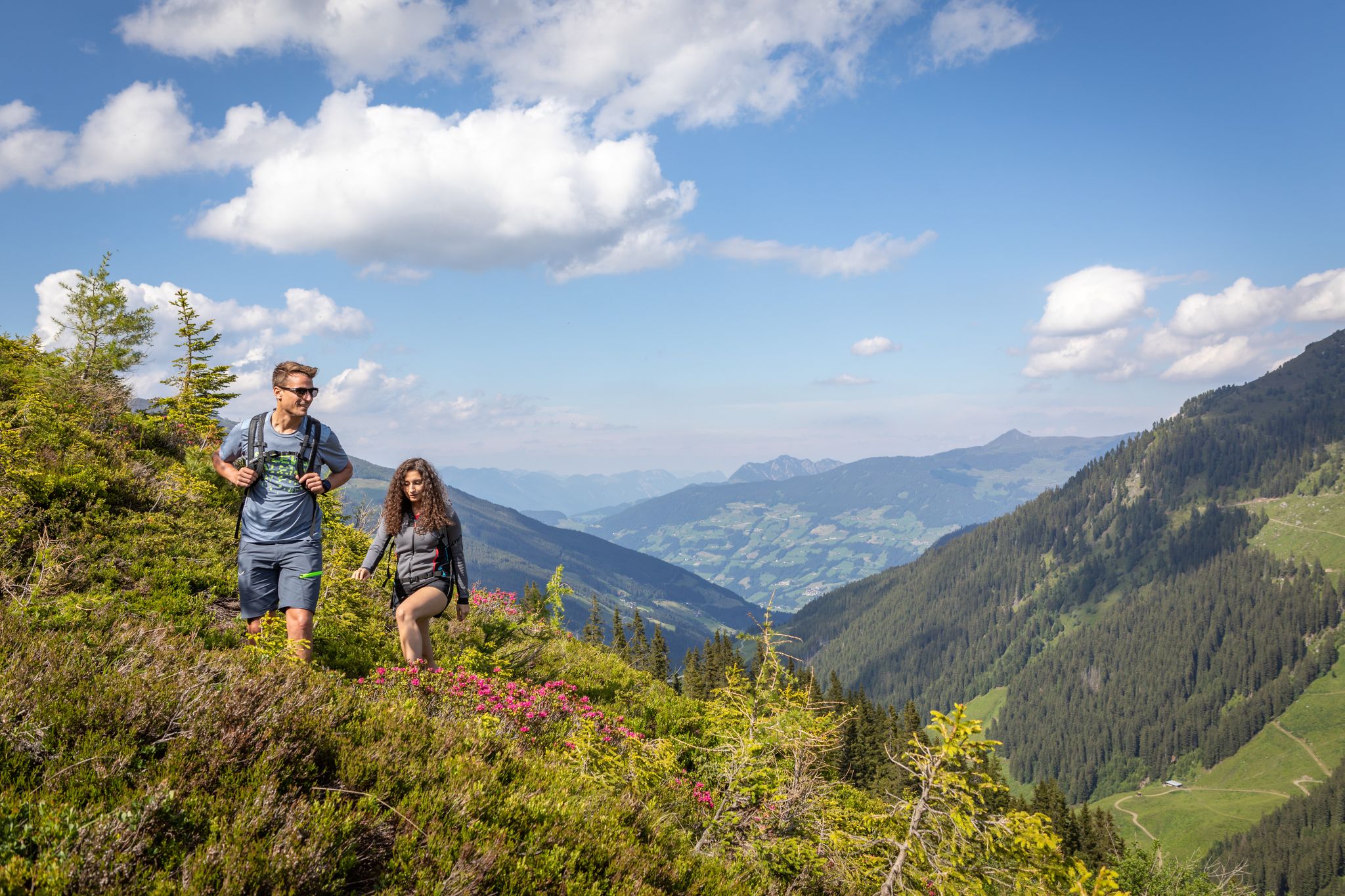
15 hikes in Austria’s Zillertal Valley – exploring the Fügen-Kaltenbach region
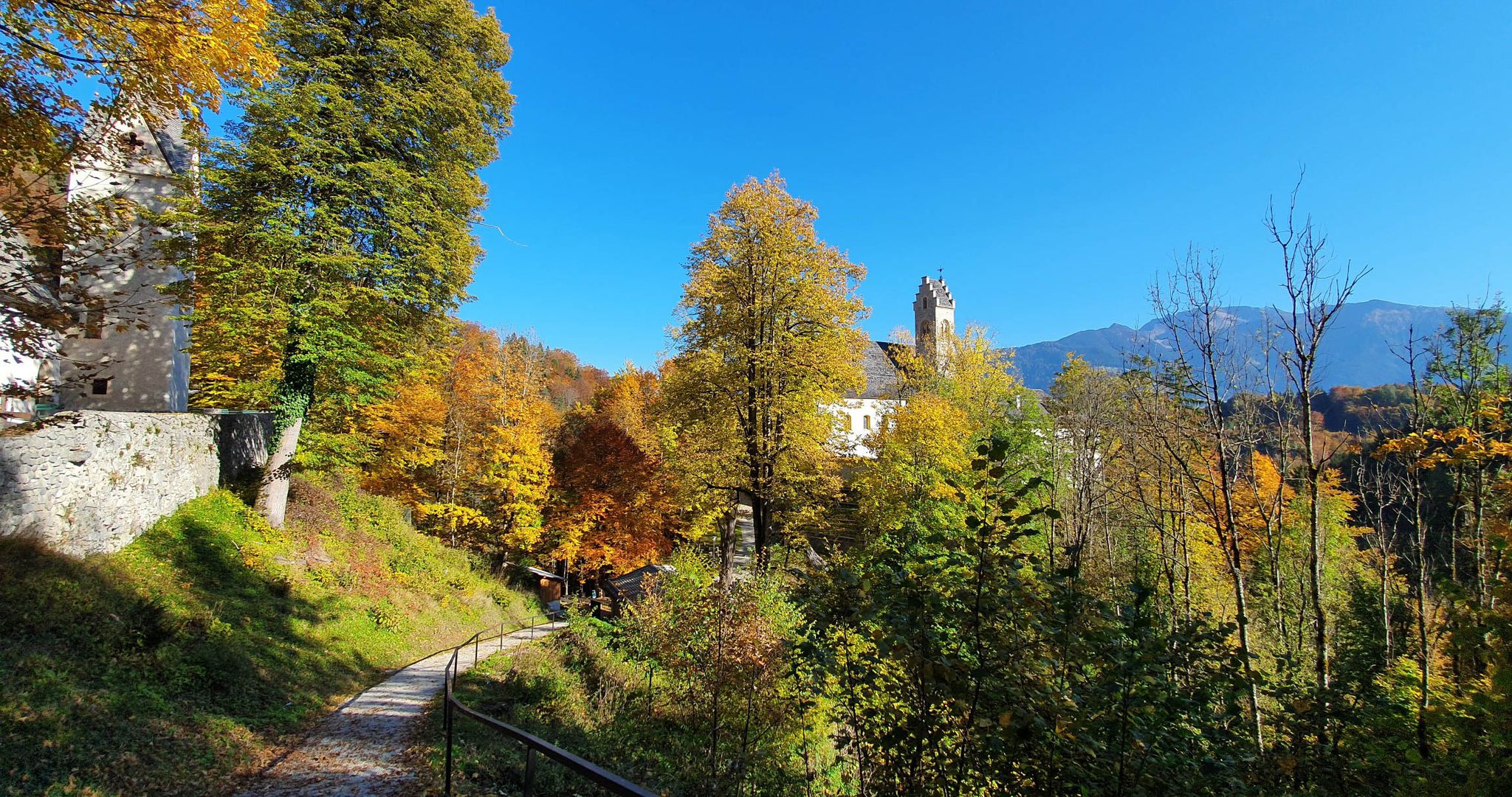
Vibrant colours and epic views – autumn in the Inn and Ziller valleys
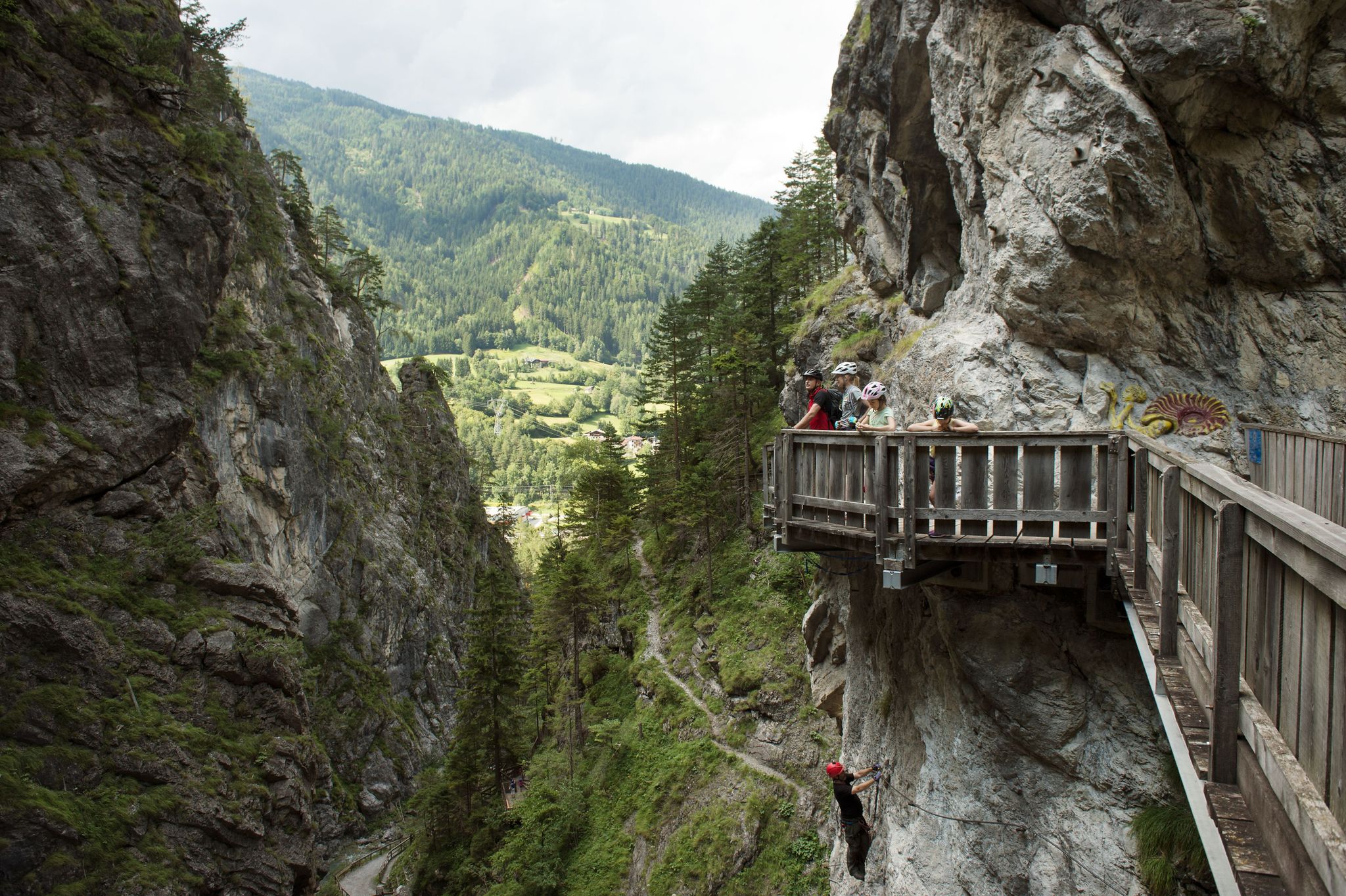
Natur, Spaß und Erholung – Radtouren für Familien in Tirol
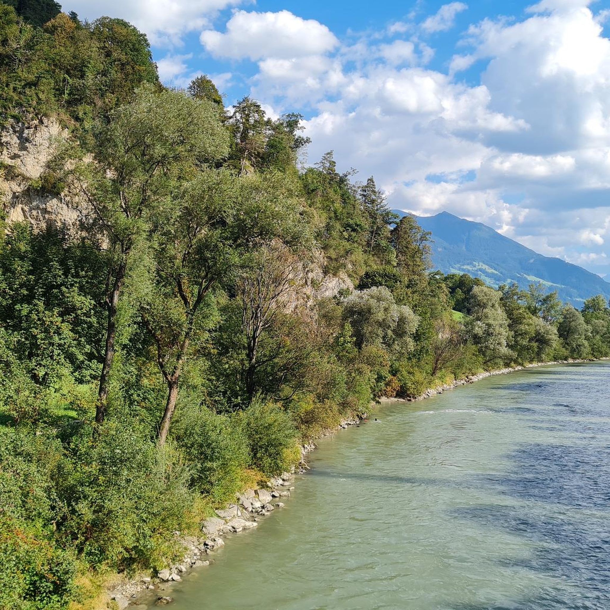
MTB Trails around Strass im Zillertal
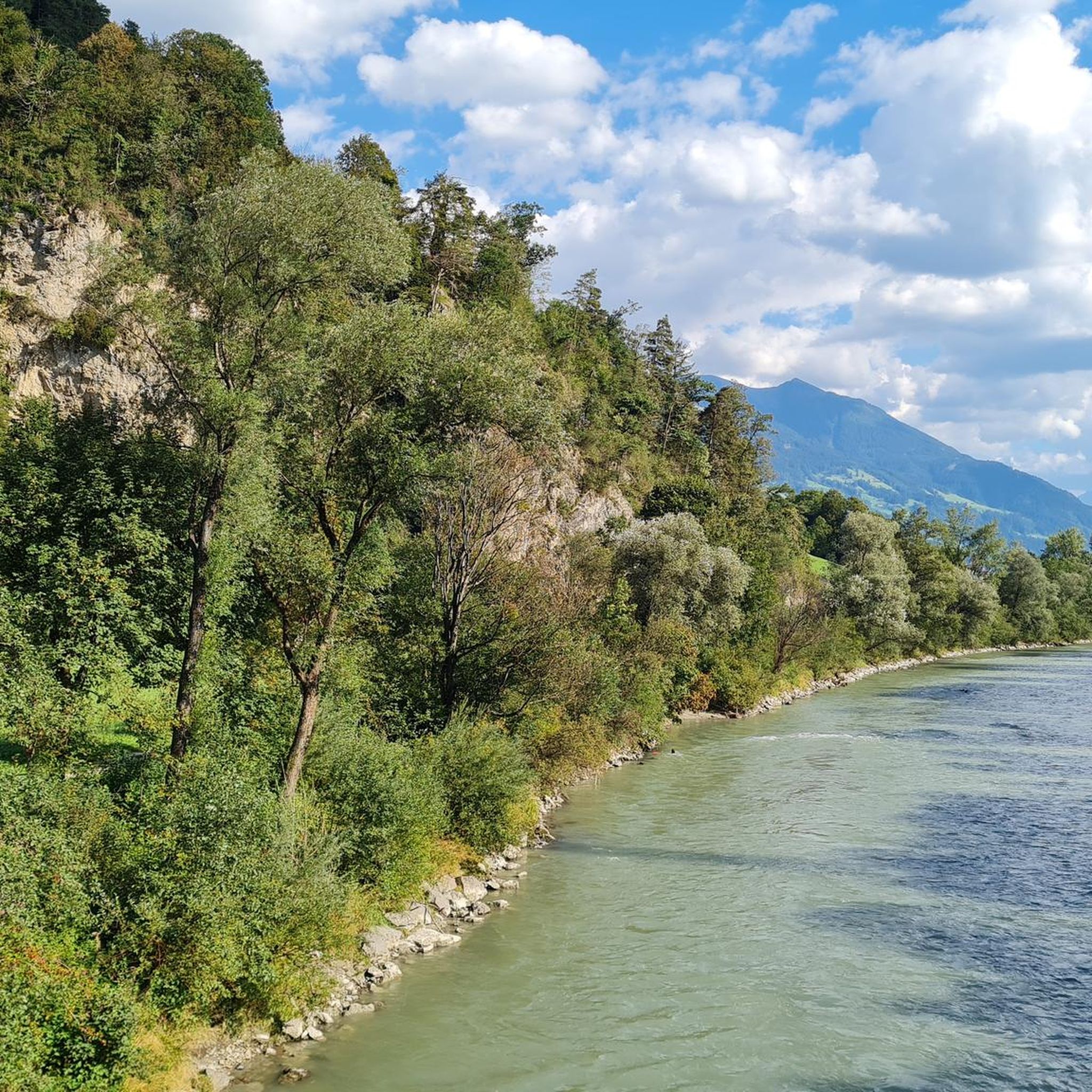
Hiking around Strass im Zillertal
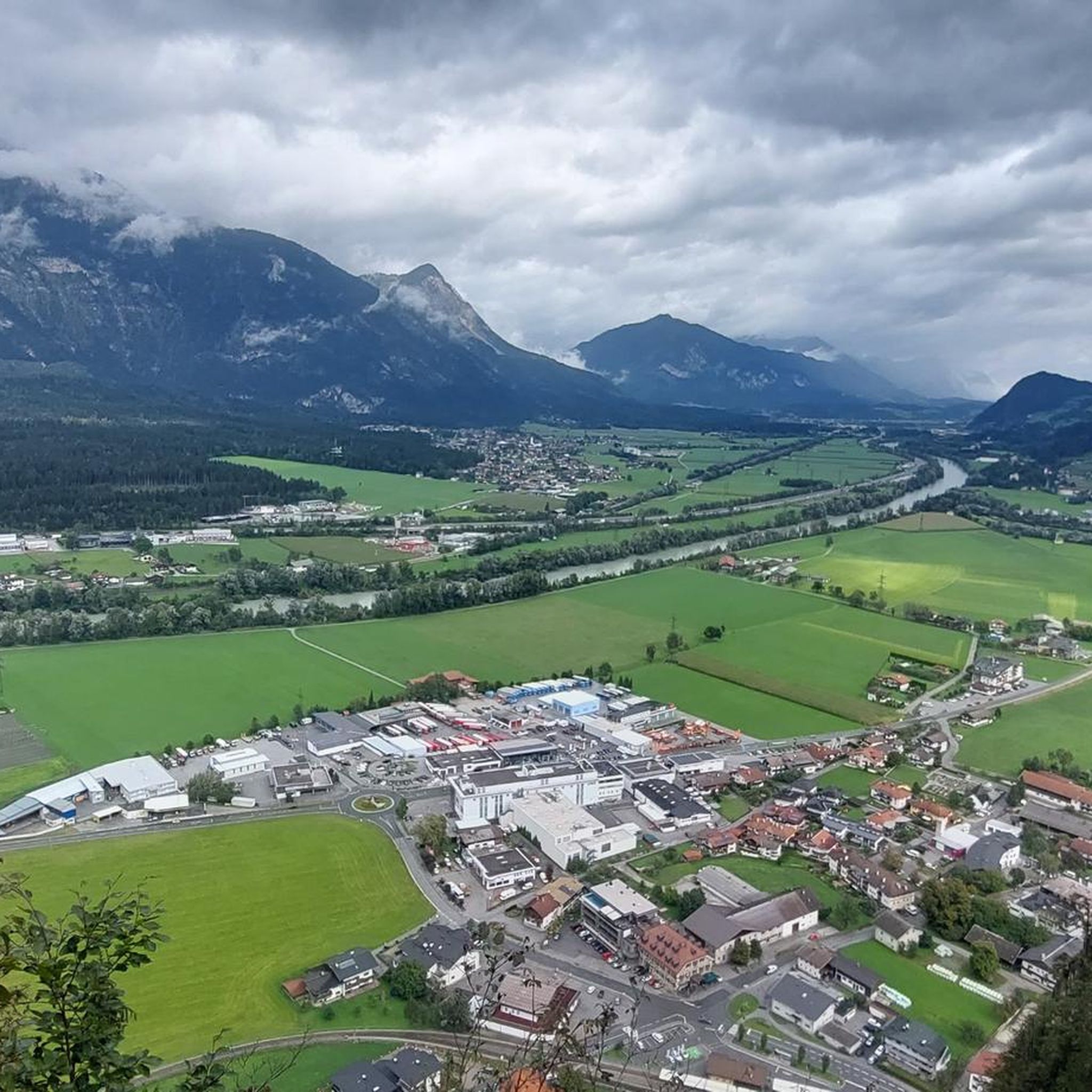
Road Cycling Routes around Strass im Zillertal
Cycling around Strass im Zillertal
Running Trails around Strass im Zillertal
Other adventures around Strass im Zillertal


Tips from the Community

Beautiful view over the Grubersee to the mountains
1
0

A rather rare tree bird in the wild is here looking for insects in a tree hole... quiet, don't scare it...
0
0

The hikers' parking lot is further down the trail. It's certainly a nice spot near the wooden hiker.
0
0

Beautiful view from above of the Grubersee
1
0


Easy-going climb from Schichthals to Ebnerjoch. Much more secluded = much more peace and quiet. Almost a bit alpine. Starting in the forest with a long traverse. Then up steep gullies. Over scree slopes. Always with a fantastic view of Lake Achensee/Pertisau. Finally, along avalanche barriers to the tourist trail.
0
0

So from the car park on the road it can be reached in about 2.5 to 3 hours (from Astenau Alpe stopover in 1.5 hours)..not too difficult but you should be sure-footed as some places are exposed...the view is great 🌄👍🏻👌🏻Great summit cross and panorama is 1A
1
0

The Grubersee is located in the middle of the Rofan Mountains. On a compass map it is also listed as Grubasee, although Grubersee is probably the correct term. Grubasee is the colloquial term for the very small mountain lake in the Rofan.
0
0
Frequently Asked Questions
How many mountaineering routes are available around Strass im Zillertal?
There are over 110 mountaineering routes around Strass im Zillertal. The region offers a diverse network of trails, with 67 routes classified as difficult and 40 as moderate, ensuring options for various skill levels.
What kind of terrain can I expect on mountaineering routes in Strass im Zillertal?
Mountaineering routes in Strass im Zillertal traverse the dramatic alpine landscape of the Zillertal Alps. You can expect majestic peaks, glaciated alpine worlds, and deep gorges. The terrain ranges from challenging summit ascents to routes through valleys, often requiring good fitness and sure-footedness.
Are there any family-friendly mountaineering options near Strass im Zillertal?
While many mountaineering routes are challenging, the Ziller Valley region does offer some easier options. For instance, the Talbach via ferrata in Zell am Ziller is suitable for families and beginners. Additionally, there are 6 easy mountaineering routes available, which might be more suitable for families looking for less strenuous alpine experiences.
What are some notable natural features or landmarks to see along the mountaineering routes?
The region is rich in natural beauty. You can explore impressive gorges like the Wolf Gorge and Tiefenbach Gorge. There are also beautiful waterfalls, such as the Dalfazer Waterfall and the Harter Schleier Waterfall, which can be scenic points along your journey.
Are there any circular mountaineering routes in the area?
Yes, there are several circular mountaineering routes. A popular option is the Astenauer Alpe – Notburga Chapel at Astenau Alm loop from Wiesing, which is a moderate 10.8 km trail. Another is the Notburga Chapel at Astenau Alm – Astenauer Alpe loop from Wiesing, a moderate 7 km route.
What is the best time of year for mountaineering in Strass im Zillertal?
The Zillertal region is generally best for mountaineering from late spring through early autumn (typically June to September) when trails are clear of snow and weather conditions are more stable. However, high-alpine routes can retain snow later into the season, so always check local conditions and forecasts before heading out.
What do other mountaineers say about the routes in Strass im Zillertal?
The mountaineering routes around Strass im Zillertal are highly rated by the komoot community, with an average score of 4.8 stars from over 500 reviews. Mountaineers often praise the stunning alpine scenery, the challenge of the high peaks, and the well-maintained network of trails.
Are there any less crowded mountaineering routes for a more tranquil experience?
While specific 'less crowded' routes aren't explicitly listed, exploring some of the moderate trails or those slightly off the main Astenauer Alpe loops might offer a more tranquil experience. Consider routes that focus on the diverse hiking opportunities beyond the most challenging summits, especially during off-peak hours or weekdays.
What are the typical durations for mountaineering routes in this region?
The duration of mountaineering routes varies significantly based on difficulty and distance. For example, a difficult route like the Astenauer Alpe – Ebener Joch Summit loop from Eben am Achensee typically takes around 4 hours and 24 minutes. Longer, more challenging routes, such as the Astenauer Alpe – Ebener Joch Summit loop from Jenbach Burgeck, can take over 6 hours.
Are there opportunities for more advanced climbing, such as via ferratas, in the Zillertal area?
Yes, the Zillertal Arena, close to Strass, offers numerous via ferratas ('Klettersteige') for various skill levels. The Gerlossteinwand via ferrata is known for its challenge, while the Talbach via ferrata is suitable for beginners. The Riederklamm climbing garden also provides practice routes for honing climbing skills.
What is the highest peak in the Zillertal Alps that can be accessed for mountaineering?
The highest peak in the Zillertal Alps is the Hochfeiler, standing at 3,510 meters. It offers both relatively accessible ascents from the Hochfeiler Hut for experienced mountaineers and classic ice routes on its north face for advanced climbers.
Can I find routes that offer views of glaciers?
Absolutely. The Zillertal Alps are home to glaciated alpine worlds. The Berliner Höhenweg, a long-distance trail traversing the Zillertal Alps High Mountain Nature Park, offers breathtaking views of these glaciers, including the Waxeggkees glacier from the Schönbichler Horn.
Most popular routes around Strass im Zillertal
Most popular attractions around Strass im Zillertal

Get inspired with the komoot mobile app


Explore more
Browse the best Mountain Hikes & Routes in other regions.
