The best mountain hikes around Mauterndorf
4.8
(34)
260
hikers
27
hikes
Mountaineering around Mauterndorf offers diverse alpine landscapes within the UNESCO Biosphere Reserve Salzburger Lungau, situated over 1,100 meters above sea level. The region is characterized by majestic peaks such as Speiereck Summit and Kareck Summit, alongside numerous clear mountain lakes. Well-marked trails traverse varying longitude and altitude profiles, providing a range of experiences from moderate to difficult.
Best mountaineering routes around Mauterndorf
- The most popular mountaineering route is Pritzhütte – Kareck Summit loop from Katschberg, a 8.4 miles (13.5…
Last updated: September 29, 2026
5.0
(5)
37
hikers
13.6km
05:37
790m
790m
Hard mountaineering route. Very good fitness required. Sure-footedness, sturdy shoes and alpine experience required.
5.0
(7)
27
hikers
7.82km
03:12
490m
500m
Hard mountaineering route. Good fitness required. Sure-footedness, sturdy shoes and alpine experience required.

5.0
(1)
15
hikers
6.62km
02:45
550m
550m
Moderate mountaineering route. Good fitness required. Easily-accessible paths. Suitable for all skill levels.
3.7
(3)
16
hikers
Moderate mountaineering route. Good fitness required. Mostly accessible paths. Sure-footedness required.
5.0
(1)
11
hikers
9.23km
02:46
300m
300m
Moderate mountaineering route. Good fitness required. Easily-accessible paths. Suitable for all skill levels.
Get access to more routes and recommendations from other explorers.
Already have an account?
Our route recommendations are based on thousands of hikes, rides, and runs completed by other people on komoot.
Start today with a free account
Your next adventure awaits.
Popular around Mauterndorf
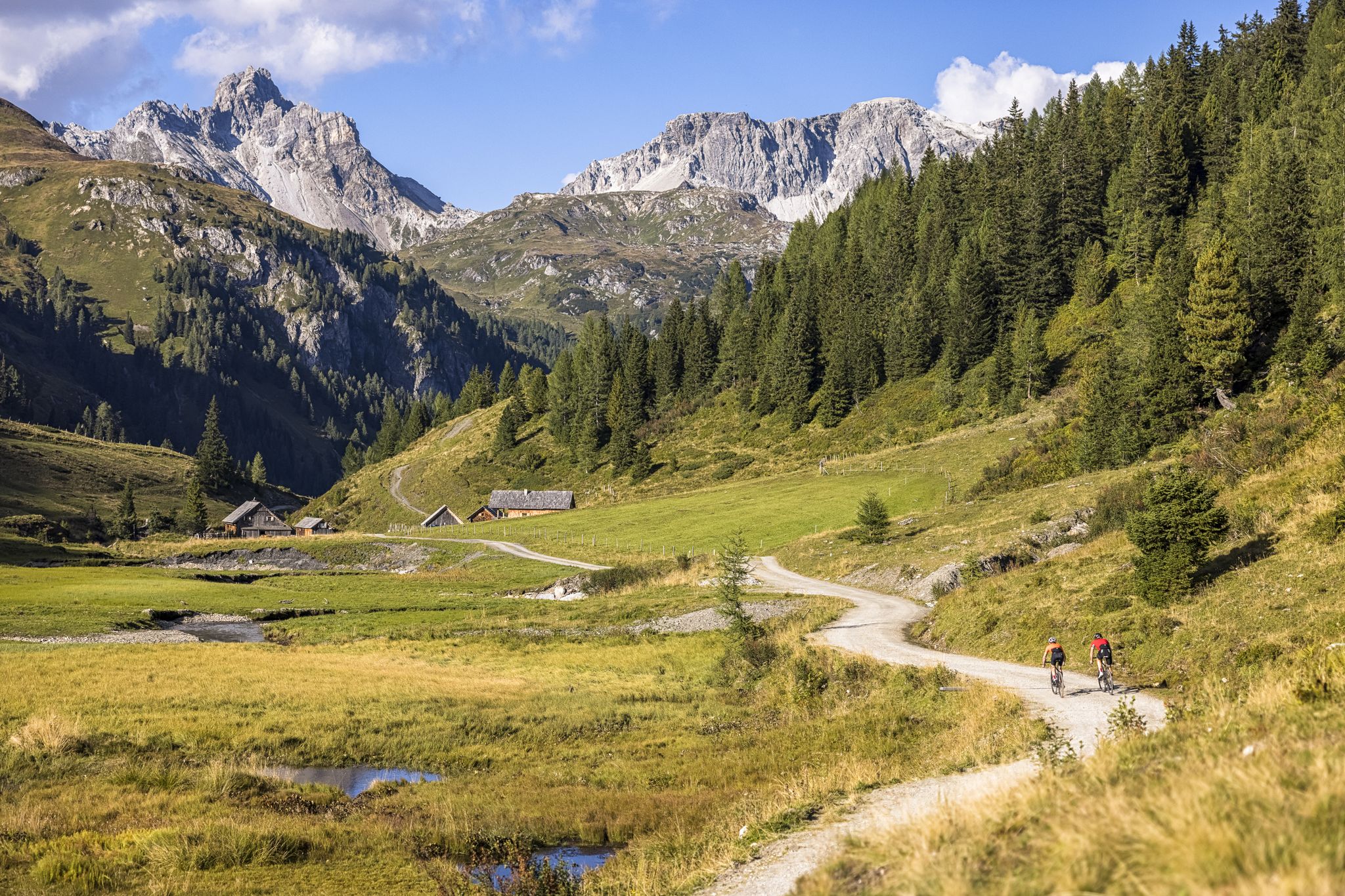
Epic biking – the best MTB routes in Salzburg's Lungau region
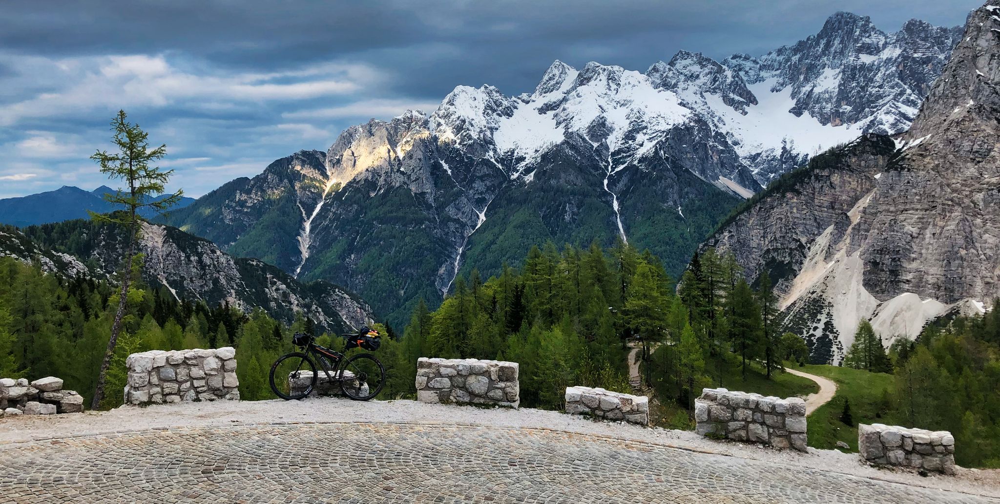
My first bikepacking trip – four countries, joys and mistakes
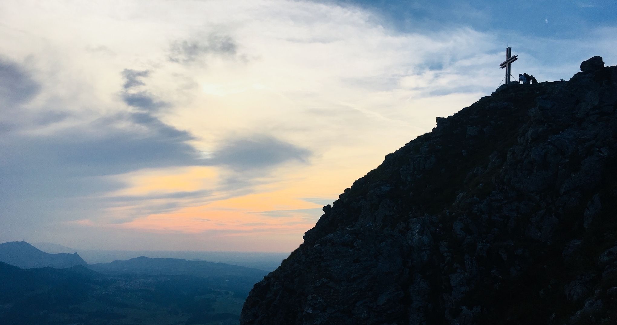
7 dreamy sunrise hikes around Salzburg for early birds
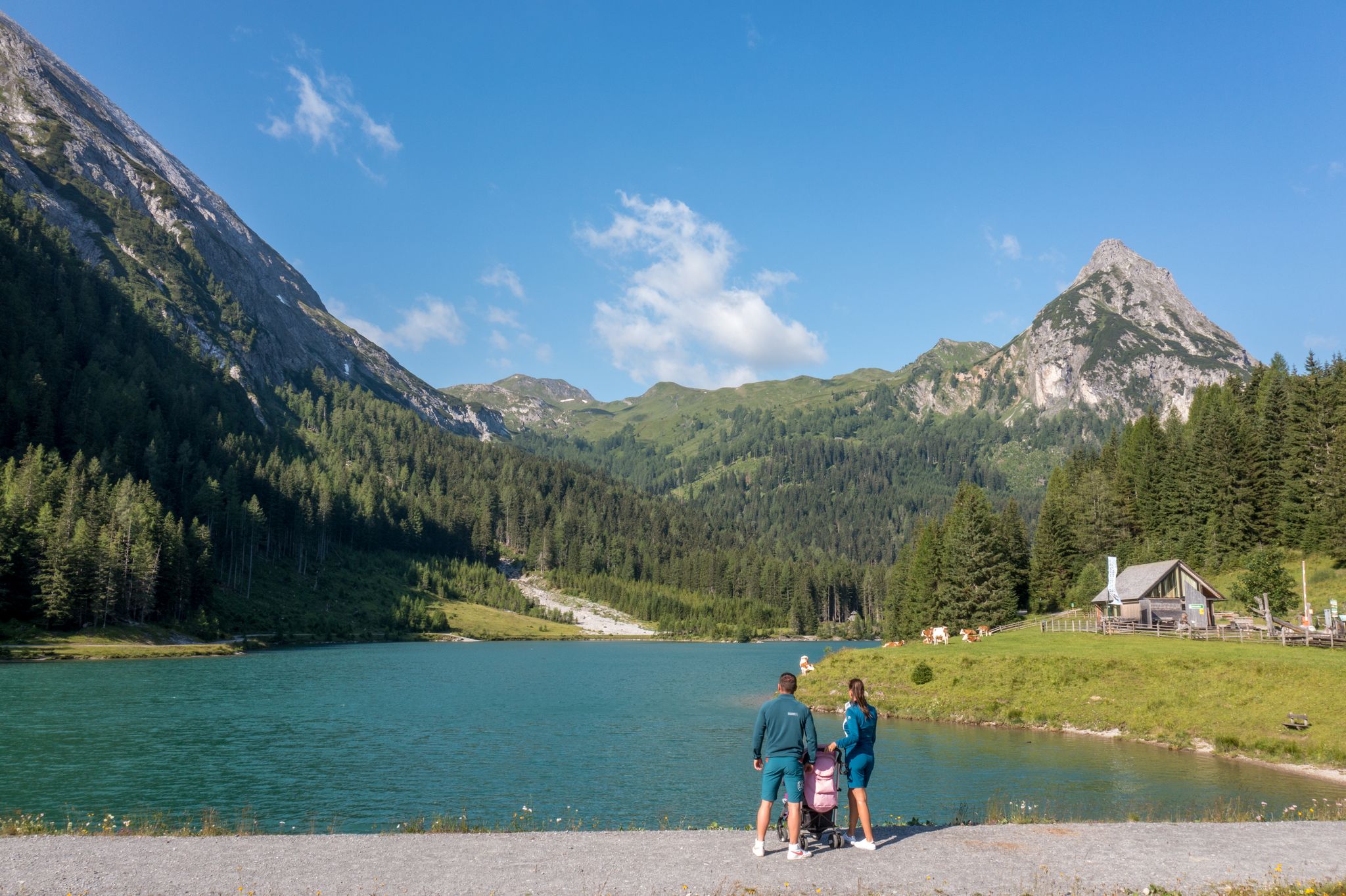
Erlebnisreich wandern - Die 11 schönsten Themenwege im Salzburger Lungau
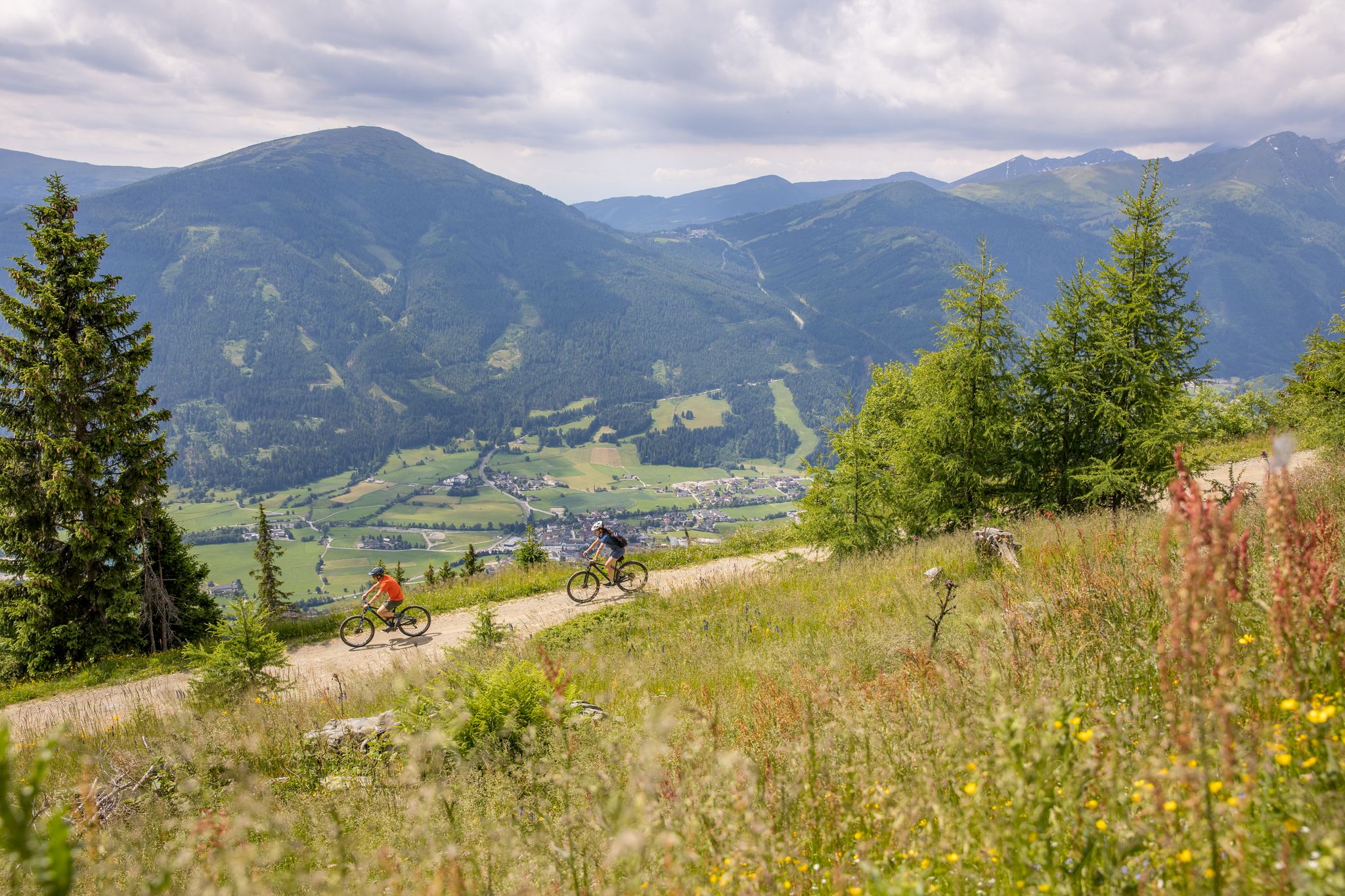
Durch Wälder und Berge - Mit dem Mountainbike durch den Salzburger Lungau
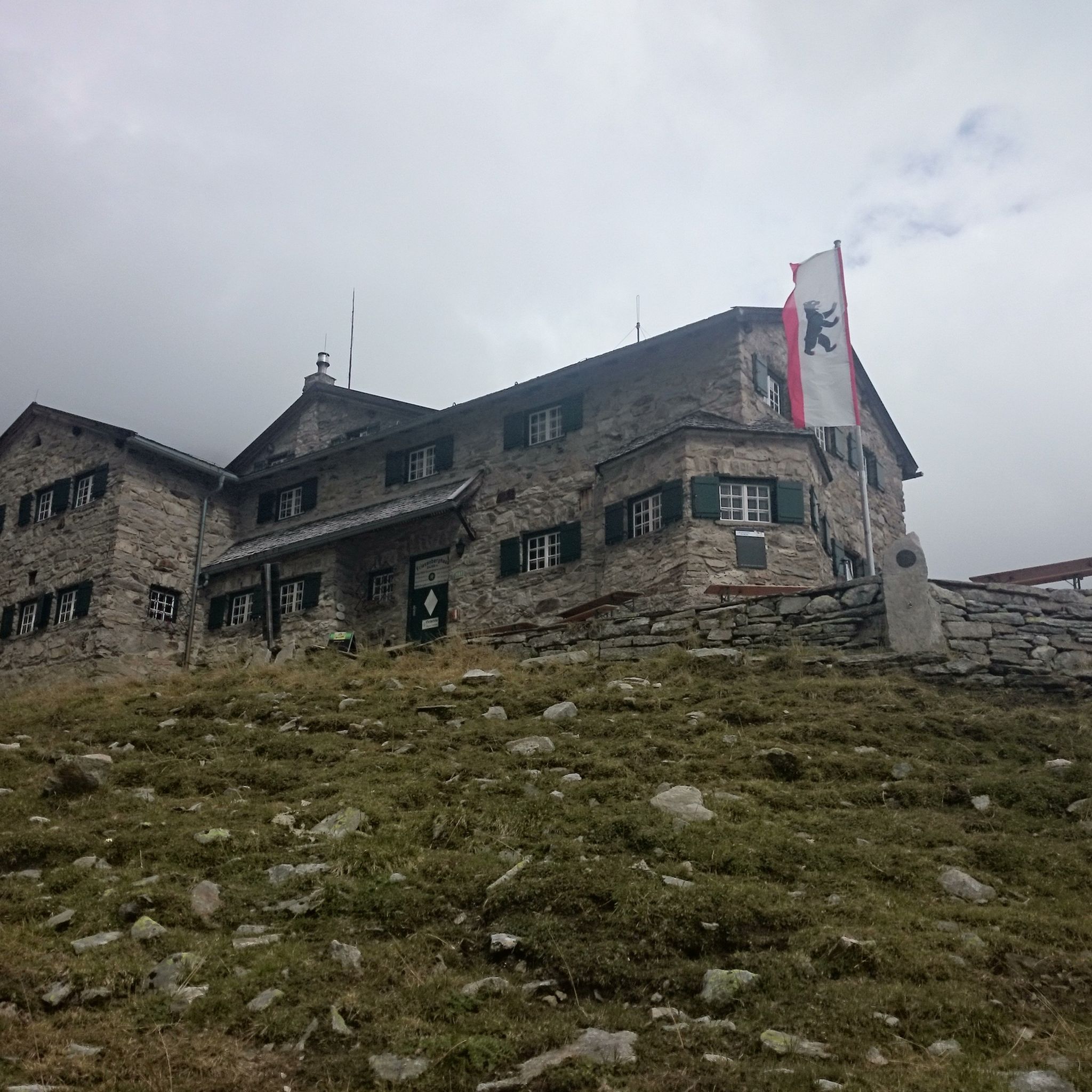
Hiking around Mauterndorf
Road Cycling Routes around Mauterndorf
Cycling around Mauterndorf
Gravel biking around Mauterndorf
MTB Trails around Mauterndorf
Other adventures around Mauterndorf


Tips from the Community

From the summit, you have a fantastic view
0
0

From up here at 2070 m altitude, you have a very beautiful view of Mauterndorf and the Trogalm.
2
0
Above the mountain station and directly on the Rote Piste no. 4a at about 2000 meters altitude.
2
0

Excellent gondola service that quickly transports you to the well-presented ski area. Plenty of parking available.
8
0
Great view from the Aineck across to the Katschi.
6
0
Weather permitting, you have a fantastic view here.
8
0

They are currently under construction, so you can't go to the lake. :(
0
0

Possibility to stop for a break after the hike.
0
0
Frequently Asked Questions
How many mountaineering routes are available around Mauterndorf?
Mauterndorf offers nearly 30 distinct mountaineering routes, catering to various skill levels. You'll find a good mix, with 9 moderate and 19 difficult trails, plus one easy option for those just starting out.
What kind of terrain can I expect on mountaineering routes in Mauterndorf?
The routes around Mauterndorf traverse diverse alpine landscapes within the UNESCO Biosphere Reserve Salzburger Lungau. You can expect well-marked trails leading through stunning mountain scenery, with varying longitude and altitude profiles, often reaching majestic peaks like Speiereck Summit and Kareck Summit.
Are there any family-friendly mountaineering options in Mauterndorf?
While many routes are moderate to difficult, there is at least one easy mountaineering route available. For families, consider routes that offer cable car access to higher elevations, like those in the Großeck-Speiereck area, which can shorten the ascent and make the experience more manageable for younger adventurers. Always check the specific route details for suitability.
Can I bring my dog on the mountaineering trails in Mauterndorf?
Many trails in the Mauterndorf region are dog-friendly, allowing you to enjoy the alpine scenery with your canine companion. However, it's always recommended to check specific trail regulations and local signage, especially within the Biosphere Reserve, and ensure your dog is well-behaved and kept on a leash where required.
What are some notable landmarks or viewpoints I can discover along the routes?
The Mauterndorf region is rich in natural beauty and offers several stunning viewpoints. You can find beautiful mountain lakes, such as Aineck Reservoir or Twenger Alm Lake, perfect for a refreshing break. Higher up, you'll encounter impressive mountain passes like Katschberghöhe or enjoy panoramic views from peaks like the Speiereck Summit.
Are there any circular mountaineering routes in the area?
Yes, Mauterndorf offers several circular mountaineering routes. A popular option is the Pritzhütte – Kareck Summit loop from Katschberg, which is a challenging 13.5 km trail. Another great choice is the Speiereck Summit loop from Peterbaueralm, offering panoramic vistas.
What is the best time of year for mountaineering in Mauterndorf?
The best time for mountaineering in Mauterndorf is typically from late spring through early autumn (roughly May to October). During these months, the weather is generally more stable, trails are clear of snow, and the alpine flora is in full bloom. Always check local weather forecasts before heading out.
How can I access the trailheads using public transport?
Mauterndorf promotes environmentally friendly travel, with valley buses available to transport visitors to the trailheads of popular hiking routes. This allows for convenient access to various starting points without needing a private vehicle.
What do other mountaineers say about the routes in Mauterndorf?
The mountaineering routes in Mauterndorf are highly regarded by the komoot community, boasting an average rating of 4.7 out of 5 stars from over 30 reviews. Mountaineers often praise the spectacular panoramas, well-marked trails, and the diverse range of experiences from moderate ascents to challenging summit routes.
Are there any easier mountaineering routes for beginners?
While many routes are moderate to difficult, Mauterndorf does offer at least one easy mountaineering route. For those looking for a less strenuous experience, consider options that utilize the Mauterndorf mountain railway or the Großeck-Speiereck cable car to reach higher elevations, reducing the overall ascent.
Where can I find parking for mountaineering trails?
Parking facilities are generally available near popular trailheads and cable car stations in and around Mauterndorf, such as in Katschberg or near Peterbaueralm. It's advisable to check specific parking information for your chosen route in advance, especially during peak season.
Are there any routes that offer views of multiple peaks?
Absolutely. Many routes in Mauterndorf provide expansive views of the surrounding majestic peaks. For instance, the Aineck Summit loop from Katschberg offers great alpine vistas, and from the Speiereck Summit, you can enjoy panoramic views of numerous mountains in the region.
Most popular routes around Mauterndorf
Most popular attractions around Mauterndorf

Get inspired with the komoot mobile app


Explore more
Browse the best Mountain Hikes & Routes in other regions.
