The best walks and hikes around Gilston
4.4
(697)
4,143
hikers
393
hikes
Hiking around Gilston explores the pastoral English countryside of East Hertfordshire. The landscape is defined by the meandering River Stort and its accessible towpaths, which form the basis for many local routes. Trails typically follow a mix of flat riverside paths, open fields, and sections of woodland with minimal elevation change. The area generally has minimal elevation, making it suitable for various fitness levels.
Best hiking trails around Gilston
- The most popular hiking route is Parndon Mill and Lock –…
Last updated: August 22, 2026
3.0
(1)
16
hikers
8.46km
02:11
40m
40m
Moderate hike. Good fitness required. Easily-accessible paths. Suitable for all skill levels.
4.0
(1)
19
hikers
9.38km
02:22
20m
20m
Moderate hike. Good fitness required. Easily-accessible paths. Suitable for all skill levels.

Sign up for free
4.0
(3)
14
hikers
6.54km
01:41
30m
30m
Easy hike. Great for any fitness level. Easily-accessible paths. Suitable for all skill levels.
5.0
(1)
9
hikers
3.02km
00:48
30m
30m
Easy hike. Great for any fitness level. Easily-accessible paths. Suitable for all skill levels.
4.6
(5)
5
hikers
10.2km
02:40
80m
80m
Moderate hike. Good fitness required. Easily-accessible paths. Suitable for all skill levels.
Get access to more routes and recommendations from other explorers.
Sign up for free
Already have an account?
Our route recommendations are based on thousands of hikes, rides, and runs completed by other people on komoot.
Start today with a free account
Your next adventure awaits.
Login or Signup
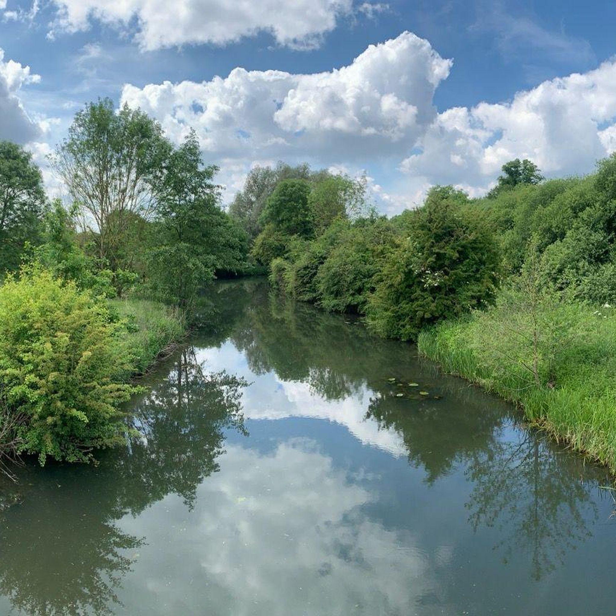
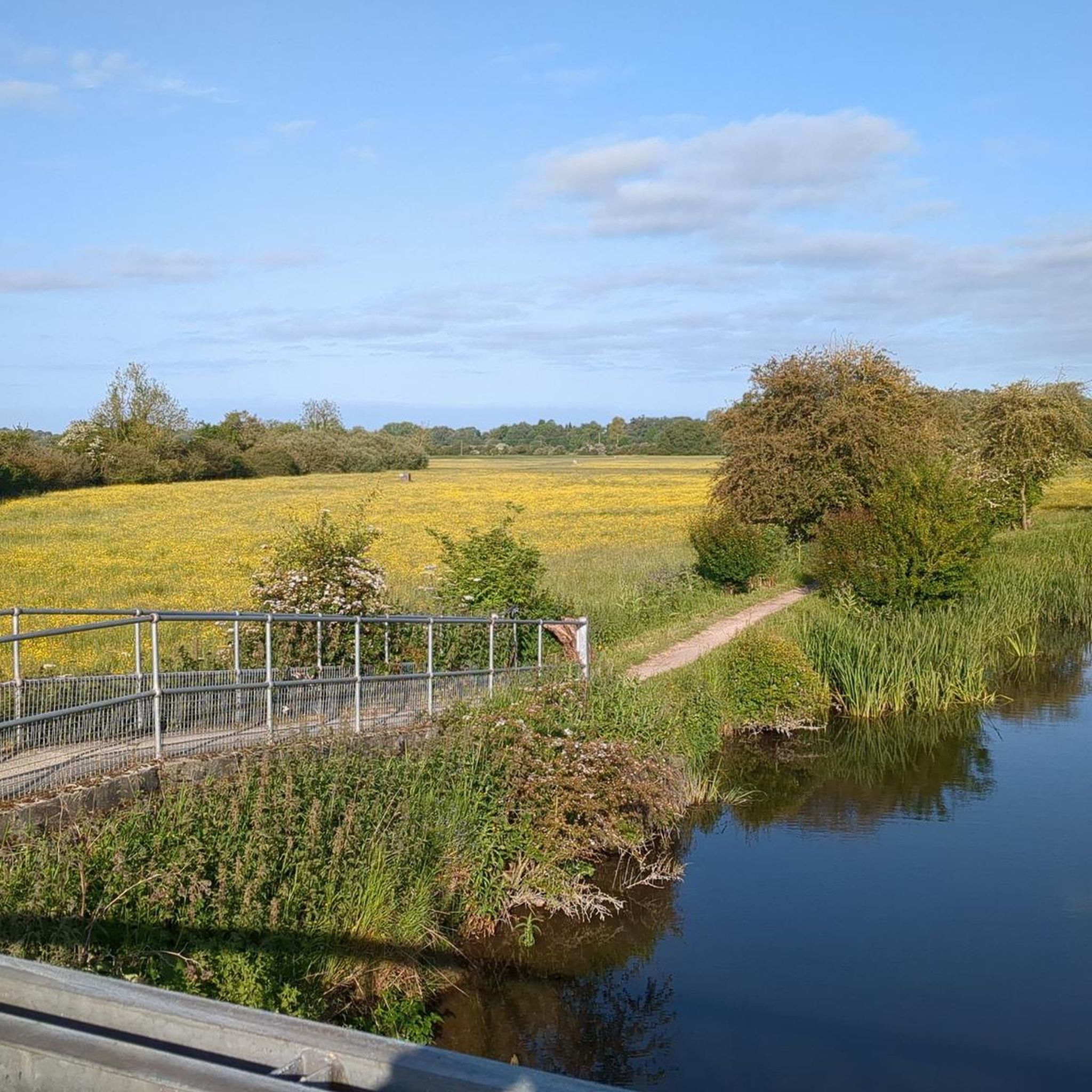
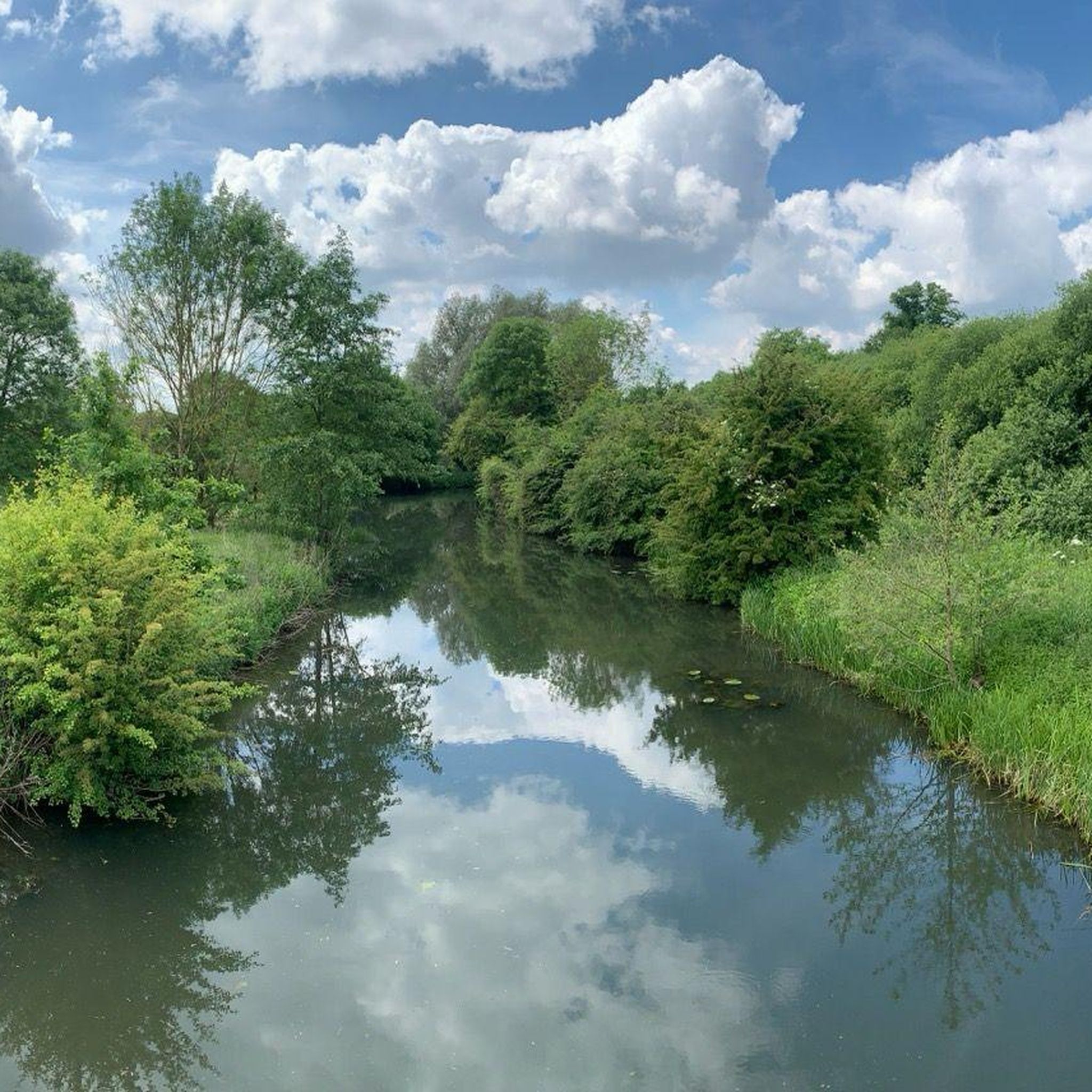

Tips from the Community

Walking through Harlow on a Sunday was quiet an Experience 🎒👋
0
0

As of September 2025, the bridge has been fixed up with an all-weather type of surface. There's also improved ramps up onto it, from both directions, so no more getting off in order to cross.
1
0

Smooth fast gravel surface Byway, mostly flat straight lines with some technical bits thrown in. Recommended in dry conditions/maybe passable in the wet, too - with the right tyres/bike. 🚲 🚵
0
0

Been here quite often, not the best, not the worst, just quite overgrown, but still a nice spot put together by some people!
0
0

A lovely quiet spot free of traffic (apart from air traffic flying into Stansted).
0
0
An artists' hub - glass blowing, painting, pottery, even a luthier (guitar maker)! Remember to walk your bike through the gate and across the bridge so as not to upset those working at the Mill.
0
0
The church is your marker for the start of some excellent local trails. A little climb up to it from the south. Enjoy the porch of the church where you may find some biscuits if you're lucky!
0
0
In winter and early spring you can all but forget about crossing here. In drier weather it's a great way across the Stort valley into Hertfordshire.
0
0
Frequently Asked Questions
What is the terrain like on hikes around Gilston?
The hiking terrain around Gilston is generally flat and accessible. Most routes follow the level towpaths of the River Stort Navigation, cross open fields, or pass through quiet woodlands. You can expect minimal elevation change, making it suitable for a wide range of fitness levels.
Are there many circular walks available?
Yes, many of the popular trails in the area are circular, allowing you to start and end in the same place without retracing your steps. These loops often combine scenic riverside paths with walks through the surrounding countryside. A good example is the Burnt Mill Lock loop from Harlow.
Can I take my dog on the trails?
Most of the public footpaths and riverside towpaths around Gilston are suitable for walking with a dog. However, you may cross fields with livestock, so it's important to keep your dog on a lead in these areas. Always be mindful of local signage and wildlife.
Are the hiking routes suitable for families with children?
Definitely. The flat terrain and well-defined paths, especially along the River Stort, are ideal for family outings. There are many shorter, easy walks that are perfect for little legs. The Burnt Mill Lock loop from Burnt Mill is a manageable option for a family adventure.
How many hiking trails are there to choose from near Gilston?
There is a wide variety of options, with over 370 hiking routes to explore in the region. These range from short, easy strolls to more moderate, longer walks, ensuring there's a trail for every preference.
Are there any hikes with river views?
Yes, river views are a key feature of hiking in Gilston. The River Stort Navigation is central to many trails, offering scenic walks along its towpaths where you can watch canal boats and enjoy the waterside wildlife. The Burnt Mill Lock – River Stort Navigation loop from Harlow Town is an excellent choice for riverside scenery.
What do other hikers think of the routes around Gilston?
The area is highly regarded by the komoot community, with routes earning an average rating of 4.4 out of 5 stars. Hikers often praise the peaceful riverside paths and the quintessential English countryside scenery.
Are there any short hikes for a quick walk?
Yes, there are plenty of short hikes available. The network of footpaths allows for easy walks that can be completed in under two hours. Many routes, like those starting from Harlow Town, can be easily shortened to fit your schedule.
Can I get to the trailheads using public transport?
Many trails are accessible via public transport. For example, several popular routes start in or near Harlow, which is served by the Harlow Town railway station. This makes it convenient to reach the riverside paths without a car.
Where can I park to go for a hike?
Parking is often available in the nearby towns, such as Harlow, from which you can easily access the trail network. Some routes may start near public car parks or have on-street parking available, but it's always best to check the specific details of your chosen route beforehand.
Are there any pubs or cafes along the walking routes?
While the trails themselves are primarily through countryside and along the river, they often pass through or near villages and towns like Harlow where you can find traditional pubs and cafes. Planning a route that starts or finishes in a town is a great way to include a stop for refreshments.
What kind of wildlife might I see while hiking?
The riverside paths along the River Stort are excellent for spotting water birds like ducks, swans, and herons. The surrounding woodlands and fields are home to common British wildlife, and the towpaths offer a chance to see the colourful canal boats that navigate the waterway.
Most popular attractions around Gilston

Get inspired with the komoot mobile app


Explore more
Browse the best Hikes in other regions.
