The best running trails around Unterperfuss
4.6
(580)
18,909
runners
268
runs
Jogging routes around Unterperfuss primarily follow the Inn River, offering relatively flat terrain suitable for various running styles. The region features a network of paths that traverse riverbanks, cycle paths, and areas near urban centers like Innsbruck. These routes often provide views of the surrounding valley and natural biotopes, with minimal elevation changes.
Best jogging routes around Unterperfuss
- The most popular jogging route is Inn River Path in Innsbruck loop from Kematen in Tirol, a 11.5 miles (18.4 km) trail that takes 1 hour 53 minutes to complete. This route follows the Inn River, offering continuous riverside running.
- Another top favourite among local runners is Innsbruck Old Town – Golden Roof (Goldenes Dachl) loop from Kematen in Tirol, a difficult 21.2 miles (34.2 km) path. This route combines river paths with sections exploring the historic areas of Innsbruck.
- Local runners also love the Gaisau Biotope – Zirl loop from Zirl, a 9.7 miles (15.6 km) trail leading through natural biotope areas and along the river, often completed in about 1 hour 36 minutes.
- Jogging around Unterperfuss is defined by river paths, cycle routes, and natural biotopes. The network offers options for easy, moderate, and difficult running, catering to different ability levels.
- The routes in Unterperfuss are highly rated by the komoot community with an average score of 4.6 stars from over 500 reviews. More than 19,000 runners have used komoot to explore Unterperfuss's varied terrain.
Last updated: May 20, 2026
4.5
(2)
184
runners
18.4km
01:54
30m
30m
Hard run. Very good fitness required. Mostly paved surfaces. Suitable for all skill levels.
5.0
(2)
141
runners
Hard run. Very good fitness required. Mostly paved surfaces. Suitable for all skill levels.

Sign up for free
4.8
(4)
112
runners
9.70km
01:02
30m
30m
Moderate run. Good fitness required. Mostly paved surfaces. Suitable for all skill levels.
60
runners
15.6km
01:37
40m
40m
Hard run. Very good fitness required. Mostly paved surfaces. Suitable for all skill levels.
4.5
(2)
56
runners
Hard run. Very good fitness required. Mostly paved surfaces. Suitable for all skill levels.
Get access to more routes and recommendations from other explorers.
Sign up for free
Already have an account?
Our route recommendations are based on thousands of hikes, rides, and runs completed by other people on komoot.
Start today with a free account
Your next adventure awaits.
Login or Signup

Tips from the Community

One of the best views over the river Inn in Innsbruck, very near the old town. Spectacular mountain views and a nice Christmas market in this area in December.
0
0
View from Freiburger Brücke downwards the Inn and towards the old town. Good views to the mountains on a clear day as well.
0
0

This elegant iron-framed pedestrian bridge, built between 1873 and 1875, connects the charming districts of Saggen and St. Nikolaus over the Inn River. Once simply called the Innsteg (Inn Bridge), it was renamed in 2003 in honor of French General Emile Béthouart to celebrate postwar reconciliation. The light, ornate bridge is perfect for leisurely strolls, photo opportunities, and bike rides. From here, you'll enjoy magnificent views of the Alps, the river, and the colorful houses along the riverbank. Visit the bridge at sunrise or sunset and enjoy the peaceful atmosphere!
4
1

The Inntalradweg leads past Völs, west of Innsbruck, on flat, asphalted paths directly along the Inn. The route is ideal for leisurely cyclists and is consistently well-signposted. It offers wonderful views of the surrounding mountains, especially the Nordkette to the north. Highlights include the nearby old town of Innsbruck, the Baggersee Rossau lake, and the Völser Au nature reserve. With the train station in Völs, the route is also perfectly suited for bike-train combinations.
3
1

Emile Béthouart Footbridge, Innsbruck Streets and squares are often named after important figures who have contributed to the common good of their fellow citizens. Younger Innsbruck residents, in particular, are probably puzzled to learn why the footbridge, which leads from the northern Hofgarten across the Inn River to St. Nicholas, is named after Marie Emile Antoine Béthouart (1889-1982). Béthouart, a French general, was Commander-in-Chief of the French occupation forces in Austria after World War II and High Commissioner of the French occupation forces in North Tyrol and Vorarlberg from 1946 to 1950. He always emphasized that he had come not as an occupier, but as a liberator, and advocated for an independent Austrian state. He had signs with the inscription "Autriche, pays ami" (Austria, friendly country) placed along the borders. He was highly commended for allowing the traditional rifle associations to participate in the Corpus Christi procession as an honor guard "with rifles" as early as 1947, "according to old Tyrolean traditions." In 1950, he even laid a wreath in front of the Andreas Hofer Memorial on the Bergisel. This despite the fact that Andreas Hofer fought against the French in 1809. The Liberation Memorial on Innsbruck's Landhausplatz, which, with the inscription PRO LIBERTATE AUSTRIAE MORTUIS, commemorates all those who died for Austria's freedom, is also his initiative. In 1960, General Béthouart received the Grand Decoration of Honor with Star for his services to the Republic of Austria. In 2003, the Innsteg Bridge was ceremoniously named after him by prominent figures and honorary formations from Austria and France. Text / Source: Innsbruck City Archives/City Museum https://innsbruck-erinnert.at/emile-bethouart-steg/
18
0

A very well-preserved old town. Very colorful and well-preserved buildings. Particularly noteworthy are the Golden Roof, the cathedral, the Inn River, and the Hofburg Palace.
2
0
The old town is very well preserved. Very colorful and well-preserved. Particularly noteworthy are the Golden Roof, the Cathedral, and the Hofburg Palace.
2
0
Innsbruck's city center is very diverse and boasts beautiful old buildings. There are also very pleasant outdoor dining options in the pedestrian zone. Maria Theresien Straße and its immediate surroundings are particularly noteworthy.
2
0
Frequently Asked Questions
How many running routes are available around Unterperfuss?
There are over 260 running routes available around Unterperfuss, catering to various fitness levels. The majority are moderate to difficult, with a good selection of easier paths as well.
Are there easy jogging routes for beginners in Unterperfuss?
Yes, Unterperfuss offers several easy jogging routes, primarily following the Inn River. These paths feature minimal elevation changes, making them ideal for beginners or those seeking a relaxed run. You can find about 12 easy routes in the area.
What are the typical lengths of running trails in Unterperfuss?
Running trails in Unterperfuss vary significantly in length. For example, the Inn River Path in Innsbruck loop from Kematen in Tirol is about 11.5 miles (18.4 km), while the Innsbruck Old Town – Golden Roof (Goldenes Dachl) loop from Kematen in Tirol extends to 21.2 miles (34.2 km). Many routes are designed as loops, offering continuous riverside running.
Can I find circular running routes near Unterperfuss?
Absolutely. Many of the popular running routes around Unterperfuss are circular, often following the Inn River or looping through natural areas. Examples include the Gaisau Biotope – Zirl loop from Zirl and the Inn Cycle Path at Sieglanger loop from Kematen in Tirol, providing convenient start and end points.
Are there jogging routes accessible by public transport in Unterperfuss?
Given Unterperfuss's proximity to Innsbruck, many routes are accessible via public transport connections to nearby towns like Kematen in Tirol or Zirl. These towns serve as excellent starting points for runs along the Inn River, which are well-connected by local bus and train services.
Where can I find parking for running routes around Unterperfuss?
Parking is generally available in the villages and towns surrounding Unterperfuss, such as Kematen in Tirol or Zirl, which often serve as trailheads for the running routes. Look for designated parking areas near public facilities or along the Inn River paths.
Are the running trails in Unterperfuss suitable for families?
Yes, the flatter sections along the Inn River are well-suited for families, especially those with younger children or strollers. These paths are generally wide and well-maintained, offering a pleasant and safe environment for a family run or walk.
Are dogs allowed on the running trails in Unterperfuss?
Most running trails in the Unterperfuss region are dog-friendly, especially those along the Inn River and through natural areas. It's always recommended to keep dogs on a leash and to be mindful of other users and local wildlife. Please check specific trail regulations if available.
What kind of scenery can I expect on the running routes around Unterperfuss?
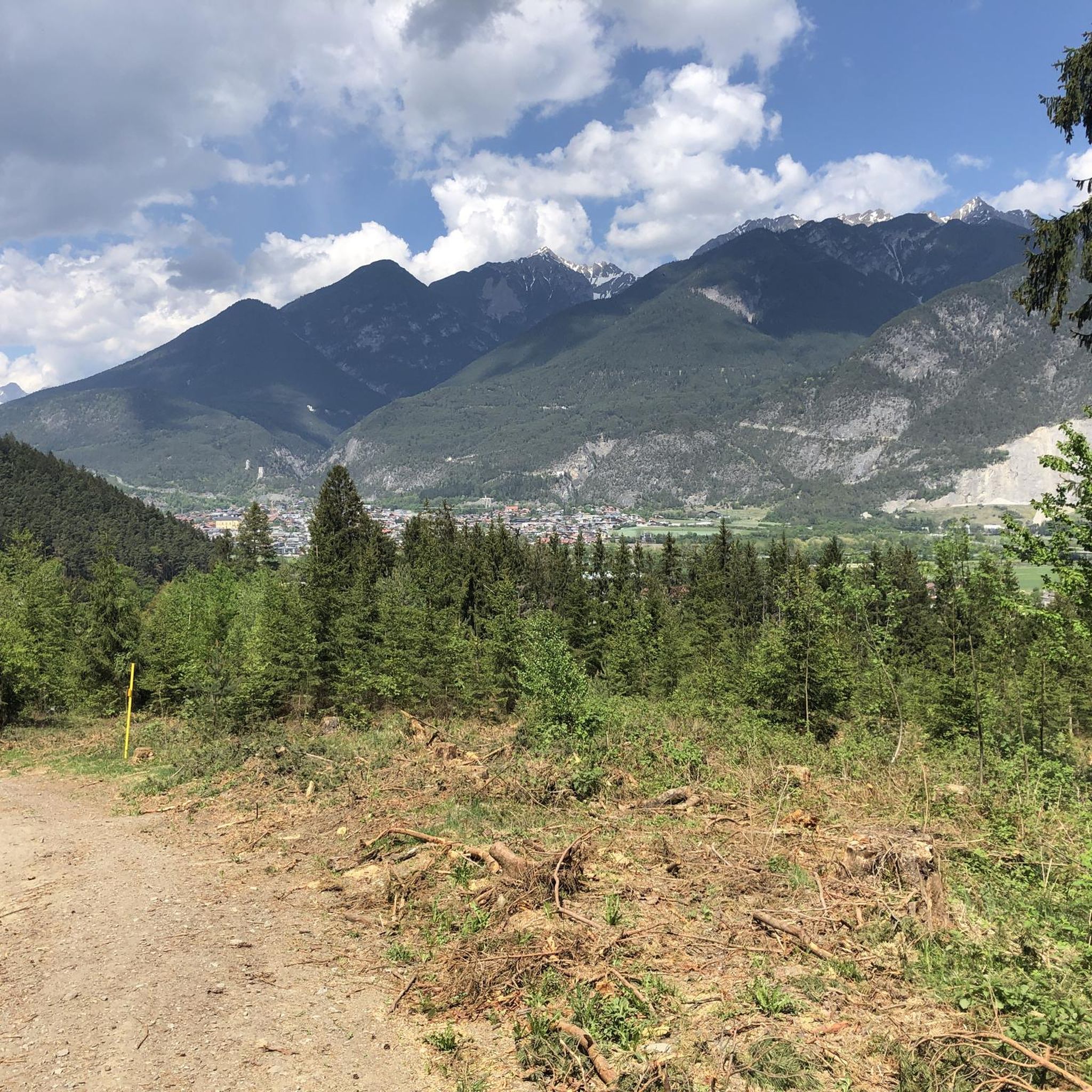
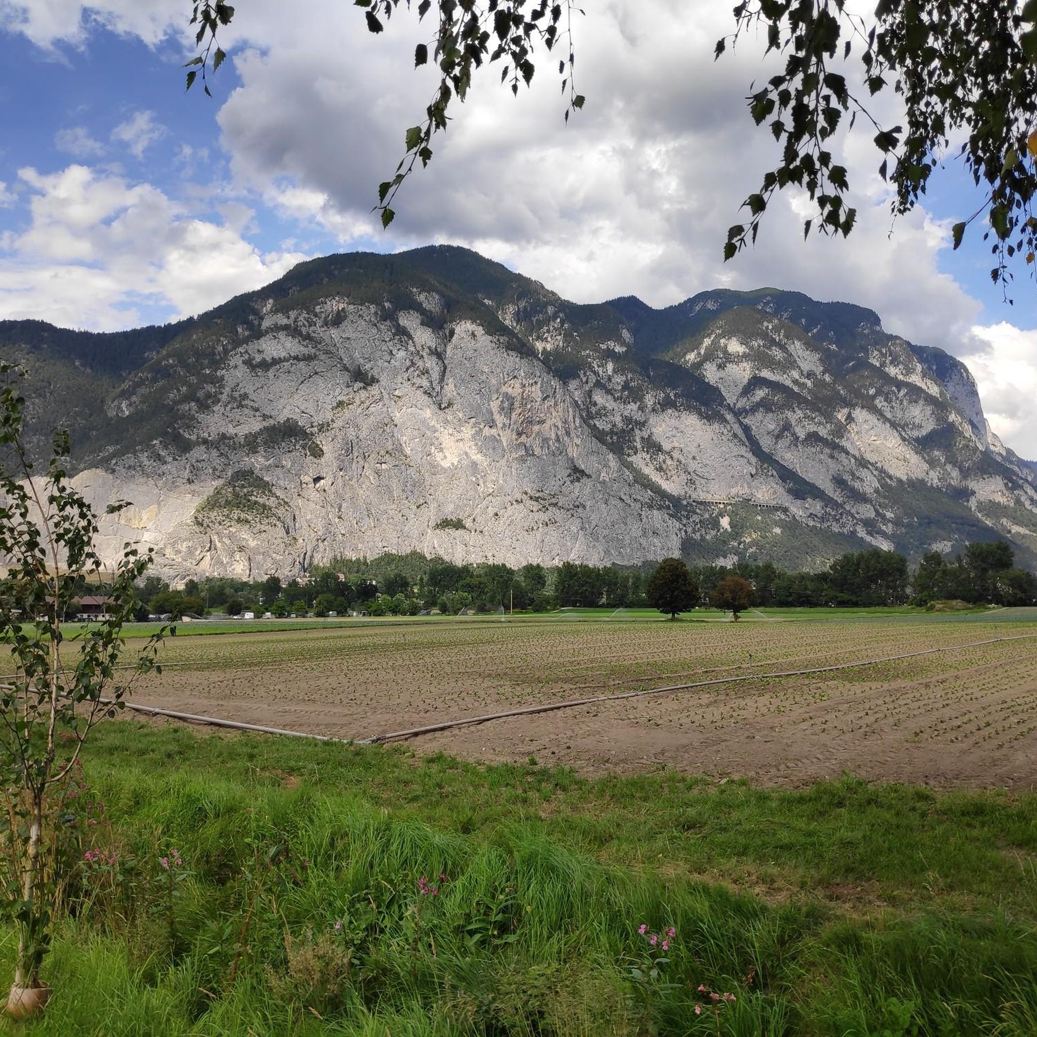
The running routes around Unterperfuss primarily offer scenic views of the Inn River valley, with paths traversing riverbanks, cycle paths, and natural biotopes like the Gaisau Biotope. You'll also get glimpses of the surrounding mountains and, on some routes, historic areas of Innsbruck.
What do other runners enjoy the most about jogging in Unterperfuss?
The running routes in Unterperfuss are highly rated by the komoot community, with an average score of 4.6 stars from over 500 reviews. Runners often praise the continuous riverside paths, the relatively flat terrain, and the beautiful views of the Inn Valley, making for an enjoyable and accessible running experience.
Are there any interesting landmarks or attractions along the running routes?
While running, you might encounter various points of interest. Some routes pass near historic sites in Innsbruck, and the broader region features attractions like Fragenstein Castle Ruins or natural highlights such as the Kaltwassersee. These offer opportunities to combine your run with sightseeing.
Are there any running routes that offer viewpoints or panoramic vistas?
While many routes are relatively flat along the river, some offer glimpses of the surrounding mountains and valley. For more elevated views, you might consider routes that venture slightly away from the immediate riverbanks, such as the View of Martinswand loop from Kematen in Tirol, which provides scenic outlooks.
Most popular attractions around Unterperfuss

Get inspired with the komoot mobile app


Explore more
Browse the best Running Trails & Routes in other regions.
