The best mountain hikes around St Anton am Arlberg
5.0
(18)
153
hikers
18
hikes
Mountaineering routes around St Anton am Arlberg traverse the Tyrolean Alps, characterized by the majestic Verwall Group and the Lechtal Alps. The region features prominent peaks like Valluga (2,811 meters) and Patteriol (3,056 meters), alongside picturesque areas such as the Rosannaschlucht and Verwall Valley. Diverse terrain includes high-alpine rock faces, narrow ledges, and vibrant mountain lakes like Lake Verwallsee.
Best mountaineering routes around St Anton am Arlberg
- The most popular mountaineering route is Mountain Lake Near St. Christoph – Berggeistweg loop from Verwallstube, a 10.4 miles (16.7 km) trail that takes 6 hours 54 minutes to complete, offering significant elevation gain through varied alpine landscapes.
- Another top favourite among local mountaineers is Leutkircher Hut loop from St. Anton am Arlberg, a difficult 7.8 miles (12.5 km) path. This route ascends towards the notable Leutkircher Hut, providing extensive views of the surrounding peaks.
- Local mountaineers also love the Lisutorga Summit – Weissröfenspitze loop from Valluga, a 4.2 miles (6.8 km) trail leading through high-alpine terrain, often completed in about 4 hours 13 minutes.
- Mountaineering around St Anton am Arlberg is defined by the dramatic Verwall Group, the Lechtal Alps, and high-alpine rock faces. The network offers options for different ability levels.
- The routes in Sankt Anton am Arlberg are highly rated by the komoot community with an average score of 5.0 stars from more than 20 reviews. More than 200 mountaineers have used komoot to explore Sankt Anton am Arlberg's varied terrain.
Last updated: September 27, 2026
14
hikers
Hard mountaineering route. Very good fitness required. Mostly accessible paths. Sure-footedness required.
5.0
(2)
18
hikers
6.96km
04:18
360m
380m
Hard mountaineering route. Good fitness required. Sure-footedness, sturdy shoes and alpine experience required.

5.0
(2)
15
hikers
12.6km
04:40
440m
440m
Moderate mountaineering route. Good fitness required. Mostly accessible paths. Sure-footedness required.
5.0
(1)
13
hikers
7.08km
06:36
1,040m
1,040m
Hard mountaineering route. Very good fitness required. Sure-footedness, sturdy shoes and alpine experience required.
6
hikers
18.8km
07:38
1,190m
1,190m
Hard mountaineering route. Very good fitness required. Sure-footedness, sturdy shoes and alpine experience required.
Get access to more routes and recommendations from other explorers.
Already have an account?
Our route recommendations are based on thousands of hikes, rides, and runs completed by other people on komoot.
Start today with a free account
Your next adventure awaits.
Popular around Sankt Anton am Arlberg
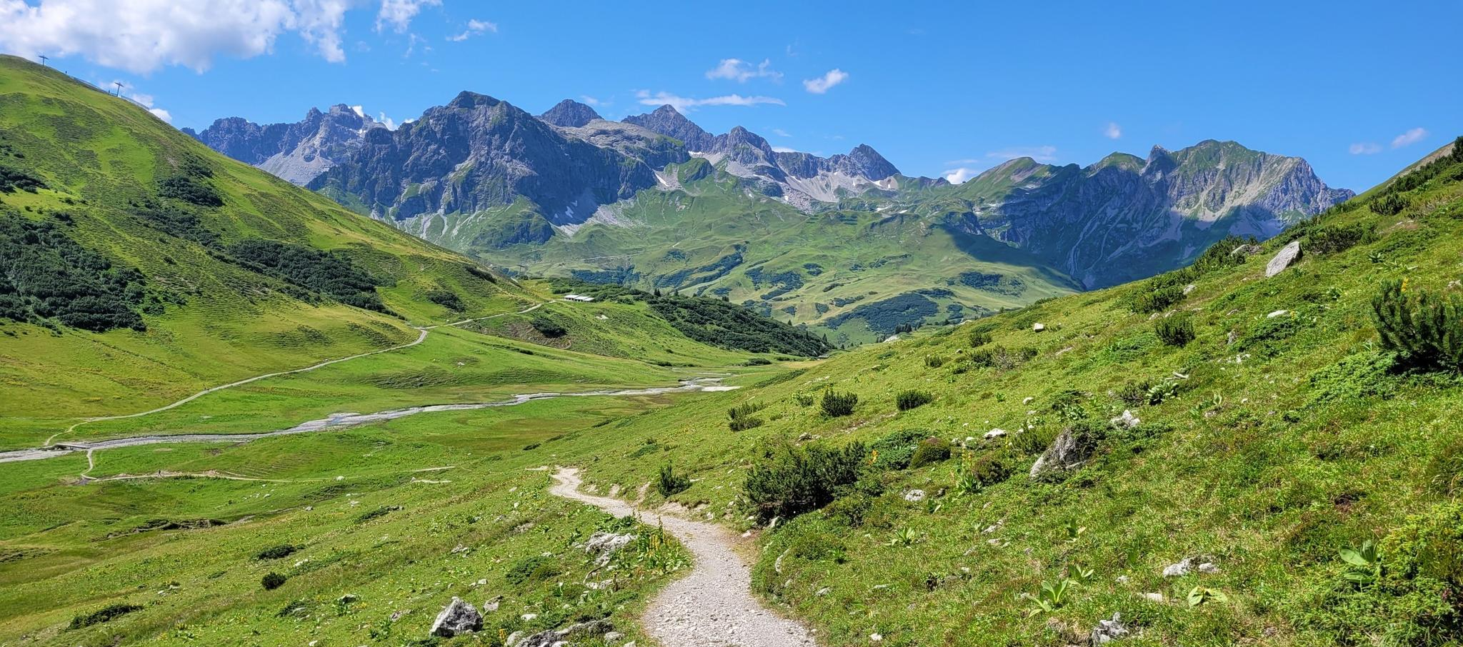
The RUN2 from Lech to Ischgl – Transalpine Run for beginners

Min Weag long-distance hiking trail – From Lake Constance to the Alps
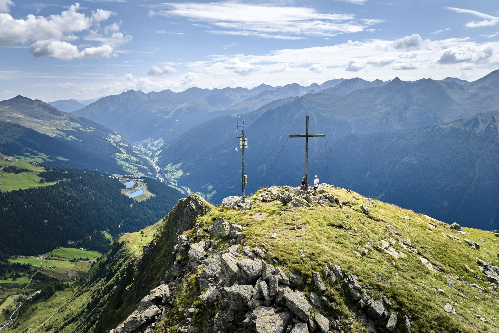
Paznauner High Trail – long-distance hike in 9 stages
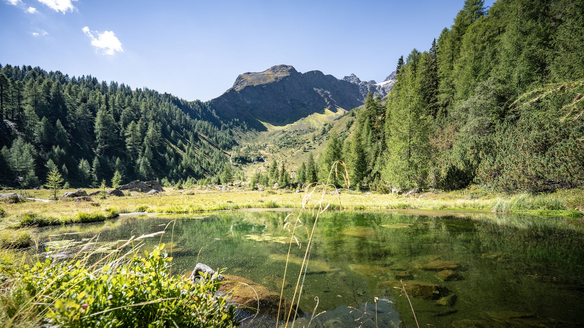
Wild water, light blue – mountain lake Tours in St. Anton am Arlberg
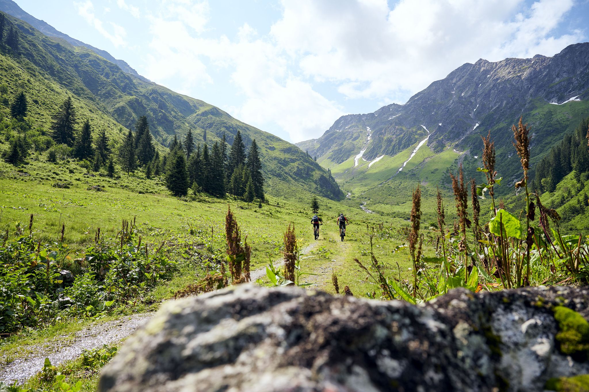
Mountain bike jewels in Austria
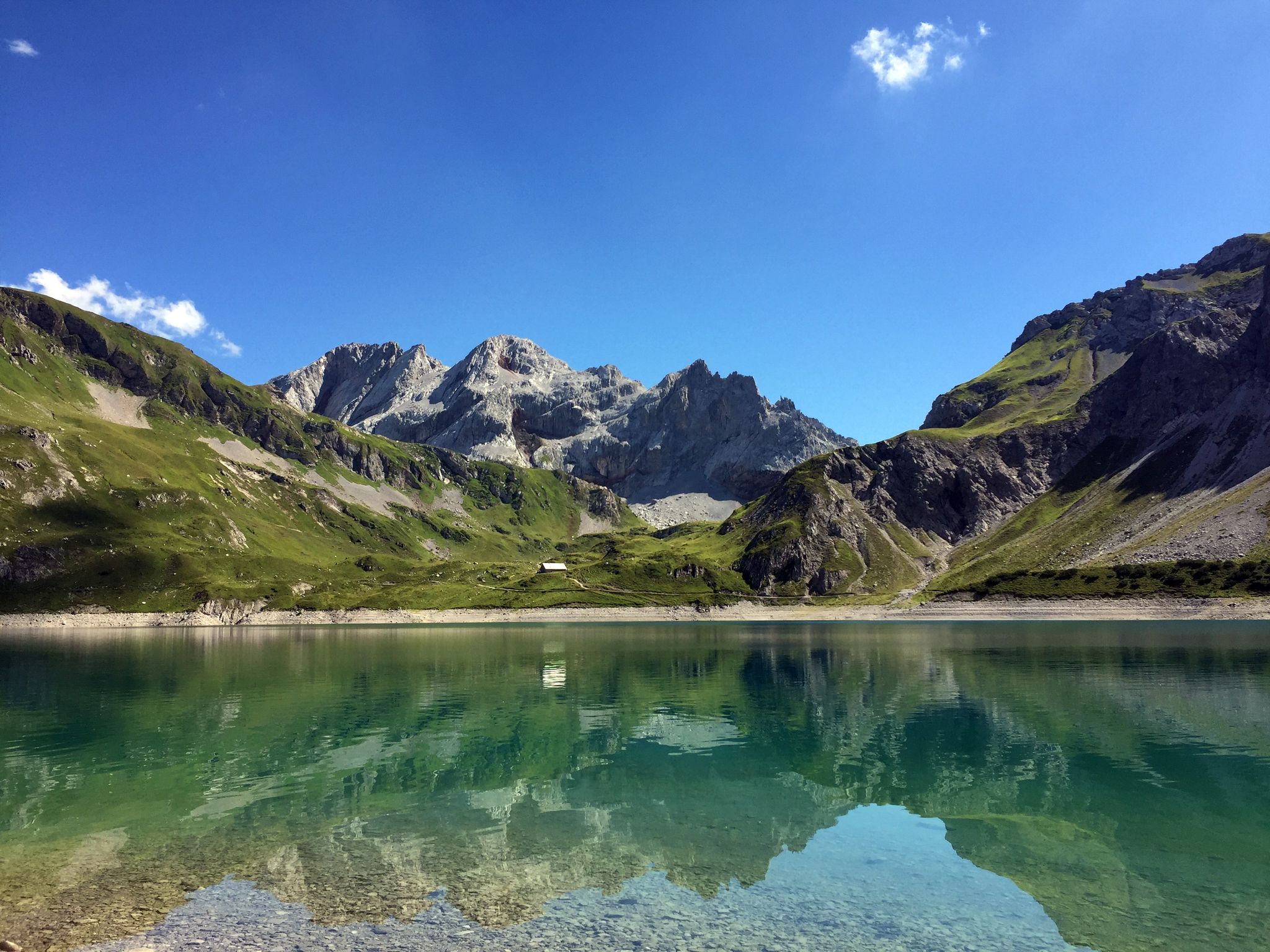
Mighty mountains and historic cities – hiking in Austria
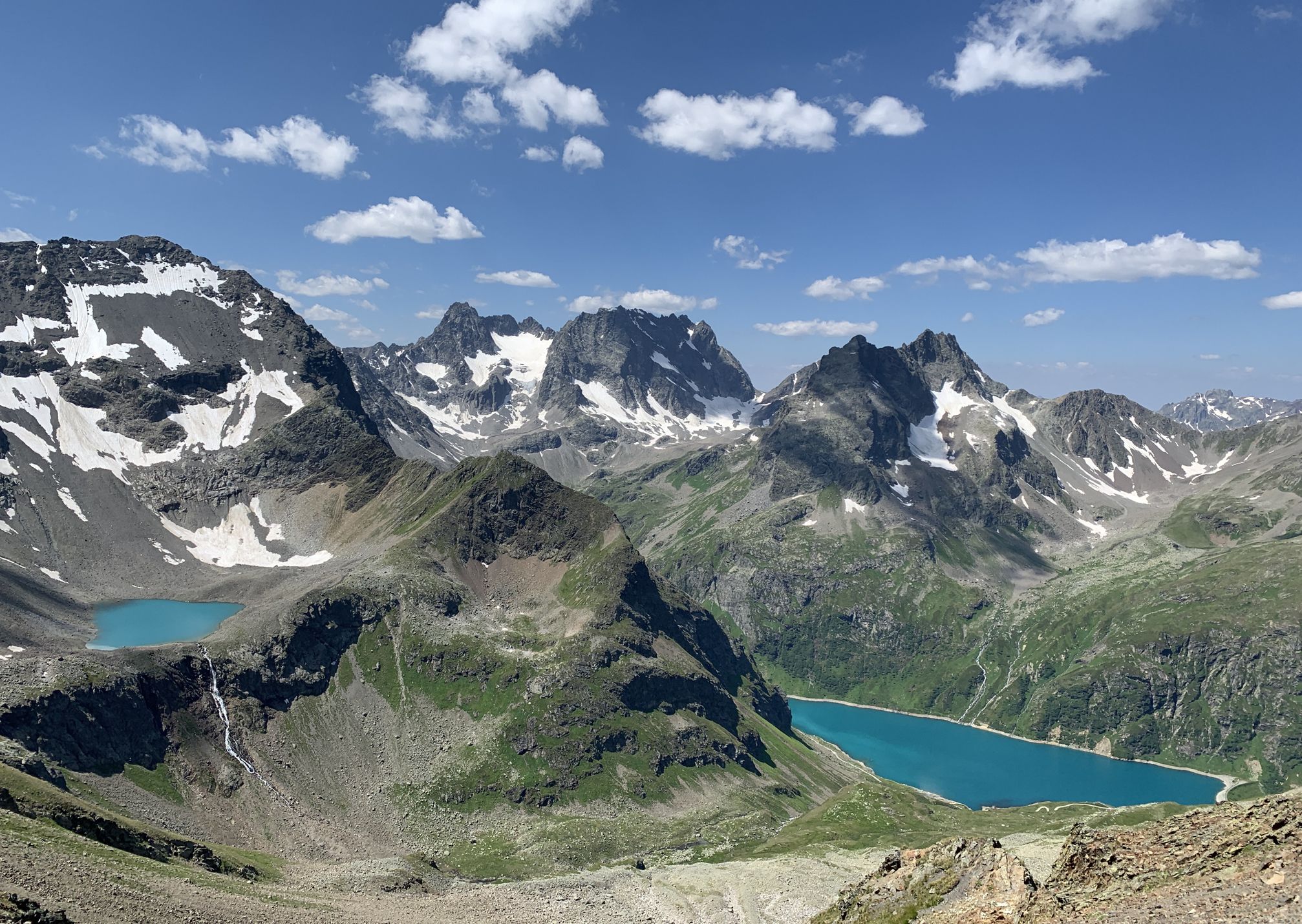
Wild and untouched – Austria’s Verwall-Runde hiking trail
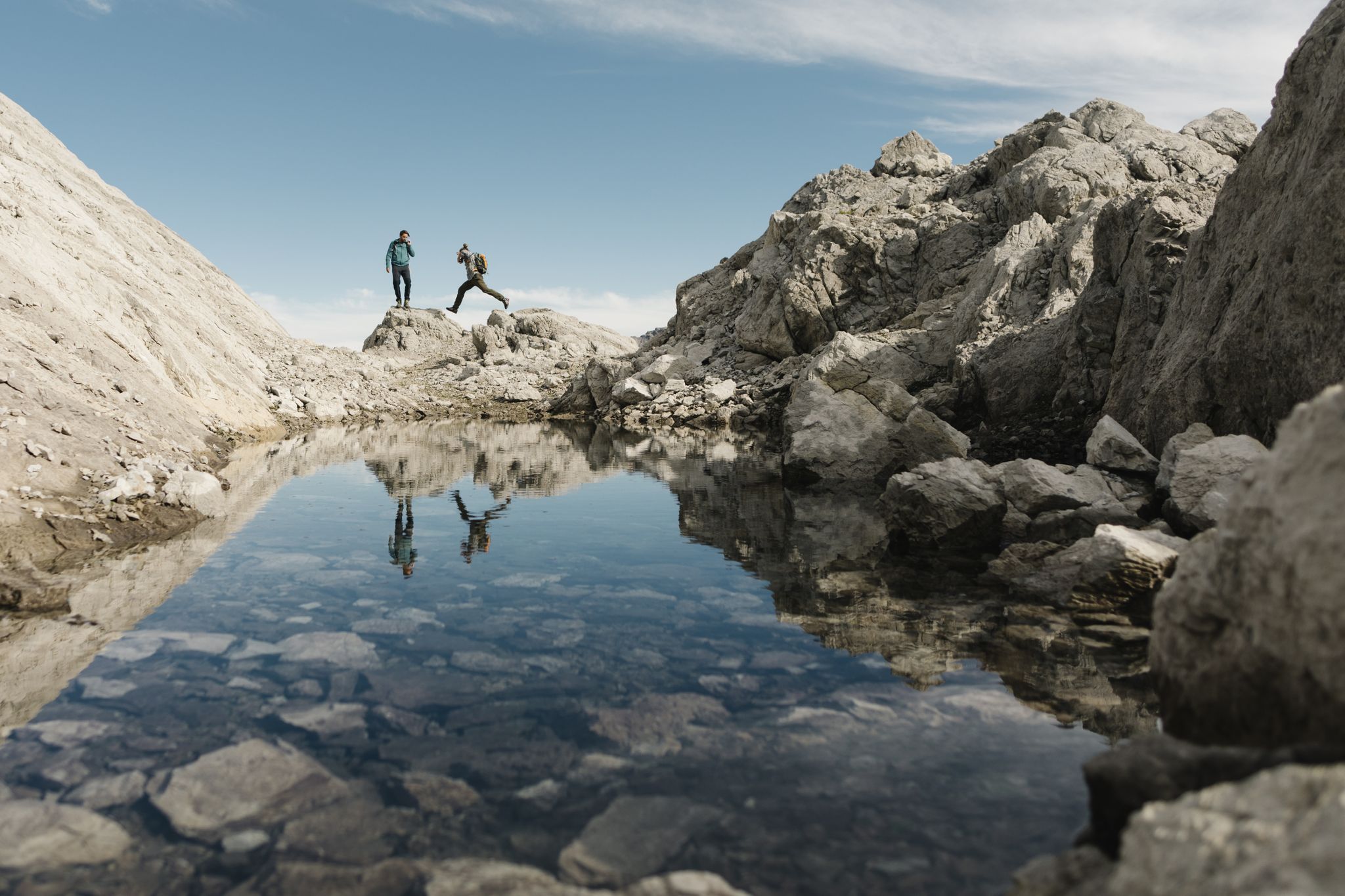
Over all mountains – Arlberg Trail challenge
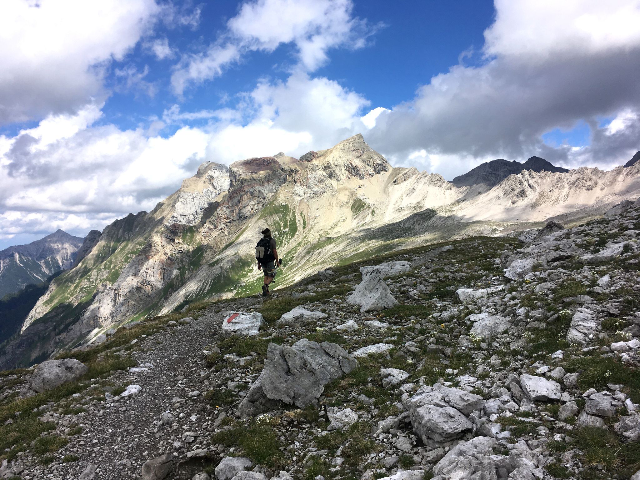
A little scree underfoot — Lechtaler High Trail in Austria
Nature & hiking – Austria's most beautiful hiking Tours
Other adventures around St Anton am Arlberg


Tips from the Community

Below the Kaltenberghütte, a large cross stands on a small plateau. You have a magnificent view into the Klostertal.
7
0

Fantastic panoramic views from the Valluga summit. Information about the Valluga cable car can be found here: https://de.wikipedia.org/wiki/Vallugabahn
1
0
The Valluga 2 mountain station is located at 2811m. Information about both Valluga cable cars can be found here: https://de.wikipedia.org/wiki/Vallugabahn
1
1
The Mattunjoch summit cross is located next to the Schindlergratbahn & Vallugalift summit station.
1
0


We had a great ride up the cable car 😉🤭
1
1

After 1,000 meters of ascent, it's nice to stop for a drink. It was busy at the hut, and service was very prompt.
0
0

How the German Alpine Club (DAV) Leutkirch section manages to maintain the nearby Kaiserjoch Hut alongside this hut is a mystery to me. Given the increasing and very expensive environmental and ecological requirements, this is almost unbelievable and deserves great respect.
0
0
Frequently Asked Questions
How many mountaineering routes can I find in Sankt Anton am Arlberg?
Sankt Anton am Arlberg offers a diverse range of mountaineering routes. You'll find over 20 routes, with 6 categorized as moderate and 15 as difficult, providing options for various skill levels.
What are the best times of year for mountaineering in Sankt Anton am Arlberg?
The prime season for mountaineering in Sankt Anton am Arlberg is typically from late spring through early autumn. During this period, the trails are generally free of snow, and the alpine roses are in bloom, especially beautiful in early summer. Some routes, like the Tyrol's only winter via ferrata at Rendl, offer unique winter climbing experiences, but these require specialized equipment and conditions.
Are there any family-friendly mountaineering options in the region?
While many mountaineering routes in Sankt Anton am Arlberg are challenging, there are also more leisurely valley paths and family-friendly routes within the extensive hiking network. For specific mountaineering tours, it's best to check individual route descriptions for suitability for children. The region also offers themed trails like the Mountain Spirit Trail that can be enjoyable for families.
What kind of natural features and views can I expect on these routes?
Mountaineering in Sankt Anton am Arlberg offers breathtaking panoramic views across the Lechtal, Allgäu, Stubai, Ötztal, Verwall, and Silvretta Alps. You'll encounter majestic peaks like Valluga and Patteriol, picturesque areas such as the Rosannaschlucht and Verwall Valley, and vibrant mountain lakes like Lake Verwallsee. The region is also known for its diverse flora, including alpine roses.
Are there any circular mountaineering routes available?
Yes, Sankt Anton am Arlberg features several circular mountaineering routes. For example, the Mountain Lake Near St. Christoph – Berggeistweg loop from Verwallstube is a popular 16.7 km difficult route. Another option is the Leutkircher Hut loop from St. Anton am Arlberg, a challenging 12.5 km path ascending towards the notable Leutkircher Hut.
What are some notable landmarks or attractions I might see along the mountaineering routes?
Along and near the mountaineering routes, you can discover several interesting landmarks. The Rosanna Gorge Trail and the Schnanner Gorge offer dramatic natural scenery. You might also encounter the Kitzloch Suspension Bridge. Mountain huts like the Leutkircher Hut and Konstanzer Hütte also serve as significant points of interest and rest stops.
What do other mountaineers enjoy most about the routes in Sankt Anton am Arlberg?
The mountaineering routes in Sankt Anton am Arlberg are highly rated by the komoot community, with an average score of 5.0 stars from over 20 reviews. Mountaineers frequently praise the varied alpine landscapes, the extensive views of the surrounding peaks, and the challenging yet rewarding terrain.
Are there any moderate mountaineering routes for those looking for a less strenuous challenge?
Yes, among the over 20 mountaineering routes, 6 are classified as moderate. An example is the Small Mountain Lake loop from Verwallstube, which covers 12.6 km with a moderate elevation gain, offering a rewarding experience without the extreme demands of the most difficult trails.
Can I access the starting points of mountaineering routes using public transport?
Yes, Sankt Anton am Arlberg offers good public transport connections. Hiking buses facilitate access to various starting points for trails. Additionally, cable cars and chairlifts (Arlberger Bergbahnen) provide convenient access to higher altitudes, such as Rendl, Gampen, Kapall, and Galzig, allowing you to reach summits faster and explore high-alpine routes.
Are there any particularly challenging mountaineering routes for experienced alpinists?
Sankt Anton am Arlberg is renowned for its challenging terrain, with 15 of its routes classified as difficult. The Kugelfelsen (Boulder Cairn) – Patteriol Summit (3,056 m) loop from Fasultal is a particularly demanding route, involving over 1000 meters of elevation gain to reach the Patteriol Summit. The Arlberg Via Ferrata is also known as one of the most beautiful and difficult Alpine tours, requiring excellent physical fitness and climbing equipment.
Are there mountain huts available for rest or overnight stays on longer tours?
Yes, the region is well-equipped with numerous mountain huts that offer opportunities for rest, refreshments, and even overnight stays during longer mountaineering tours. Notable huts include the Leutkircher Hut, Konstanzer Hütte, and Darmstädter Hütte, providing essential support for your alpine adventures.
Most popular routes around St Anton am Arlberg
Most popular attractions around St Anton am Arlberg

Get inspired with the komoot mobile app


Explore more
Browse the best Mountain Hikes & Routes in other regions.
