The best running trails around Great Hallingbury
4.4
(47)
3,608
runners
13
runs
Jogging routes around Great Hallingbury traverse a landscape characterized by gentle hills and open countryside, often featuring a mix of agricultural land and pockets of woodland. The region offers a generally mild elevation profile, making it suitable for various running abilities. Many paths follow established trails and quiet country lanes, providing a peaceful environment for outdoor activity.
Best jogging routes around Great Hallingbury
- The most popular jogging route is Impassable Section loop from Bishop's Stortford, a 4.3 miles (6.9 km) trail that takes about 45 minutes to complete. This route offers varied terrain near Bishop's Stortford.
- Another top favourite among local runners is Hatfield Forest Cafe – Hatfield Forest Lake loop from Bishop's Stortford, a moderate 7.5 miles (12.1 km) path. This path explores the scenic Hatfield Forest area, including its lake.
- Local runners also love the Nags Head Pub loop from Bishop's Stortford, a 2.7 miles (4.3 km) trail leading through local paths and countryside, often completed in about 25 minutes.
- Jogging around Great Hallingbury is defined by open countryside, gentle hills, and woodland paths. The network offers options for different ability levels, from easy runs to more challenging routes.
- The routes in Great Hallingbury are highly rated by the komoot community with an average score of 4.3 stars from over 40 reviews. More than 4000 runners have used komoot to explore Great Hallingbury's varied terrain.
Last updated: June 22, 2026
45
runners
Moderate run. Good fitness required. Mostly paved surfaces. Suitable for all skill levels.
36
runners
6.94km
00:48
60m
60m
Moderate run. Good fitness required. Mostly paved surfaces. Suitable for all skill levels.

Sign up for free
22
runners
20.4km
02:07
110m
110m
Hard run. Very good fitness required. Mostly paved surfaces. Suitable for all skill levels.
21
runners
10.8km
01:16
60m
60m
Moderate run. Good fitness required. Mostly paved surfaces. Suitable for all skill levels.
22
runners
Moderate run. Good fitness required. Mostly paved surfaces. Suitable for all skill levels.
Get access to more routes and recommendations from other explorers.
Sign up for free
Already have an account?
Our route recommendations are based on thousands of hikes, rides, and runs completed by other people on komoot.
Start today with a free account
Your next adventure awaits.
Login or Signup
Tips from the Community

Sign and view on the Filtch Way, next to the entrance into Hatfield Forest.
0
0
Need to pay for car entrance at the National Trust forest. Check opening times as they can stop letting cars in after a certain time.
0
0
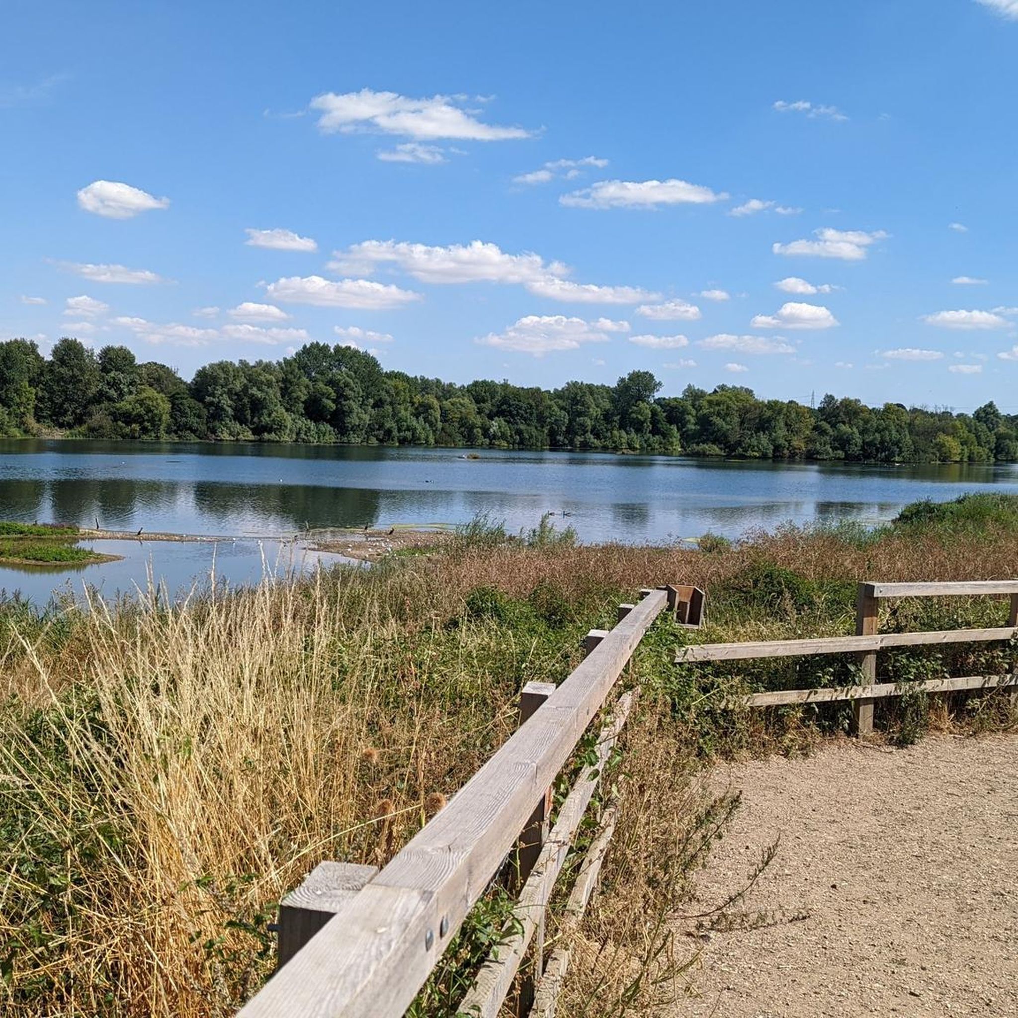
Bought a coffee from the National Trust cafe and sat near to the lake in Hatfield Forrest.
0
0

Insure the gates are closed after you, watch out for sudden dips and holes if you’re riding cross-country and take your time.
0
0

Hatfield Forest is an ancient royal hunting forest, and considered to be one of the best-preserved medieval forests in the world. In the past, deer were kept in the forest for hunting. Today you'll find deer aplenty still, though no longer pursued for the same reason. The forest boasts ancient trees, over 3,500 species of fungi, rare insects and a diverse array of birdlife. There's also a beautiful lake, café and river that meanders through.
1
0


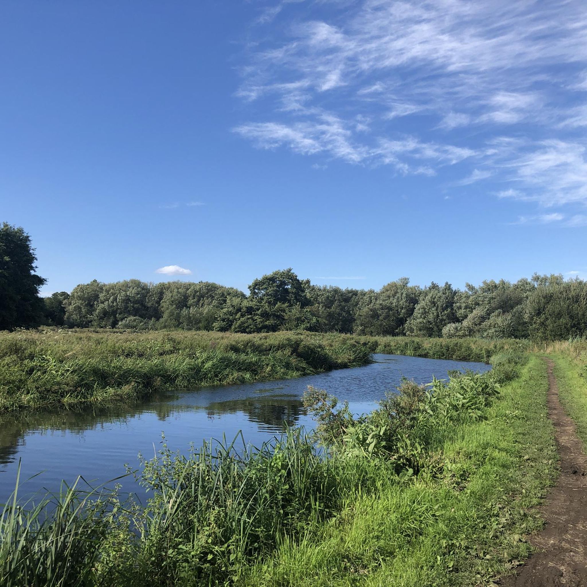
The River Stort passes through Bishops Stortford on its was through Essex and Hertfordshire from the village of Langley to the River Lea. From the town the river has been made navigable, known as the Stort Navigation.
0
0
Waterside Stortford is a 5.6km, flat trail which runs from Bat Willow Hurst Country Park to the north of the town, through the centre here, to just beyond Twyford Mill lock in the south. There are information points throughout the trail providing more information about the features of the trail.
0
0
Frequently Asked Questions
How many running routes are available around Great Hallingbury?
There are over 10 dedicated running routes around Great Hallingbury listed on komoot, offering a variety of distances and difficulties for all levels of runners.
Are there any easy or beginner-friendly jogging routes in the area?
Yes, Great Hallingbury offers several easy running paths. For instance, the Nags Head Pub loop from Bishop's Stortford is an easy 4.3 km trail, perfect for beginners or a relaxed run.
What kind of terrain can I expect on the running trails in Great Hallingbury?
The running routes in Great Hallingbury typically feature a mix of open countryside, gentle hills, and woodland paths. You'll often find yourself traversing agricultural land and established trails, providing a peaceful environment for your run.
Are there any circular running routes available?
Many of the running routes around Great Hallingbury are designed as loops, allowing you to start and finish at the same point. For example, the popular Impassable Section loop from Bishop's Stortford is a circular route offering varied terrain.
Can I find running routes that pass by cafes or pubs?
Yes, some routes offer convenient stops. The Hatfield Forest Cafe – Hatfield Forest Lake loop from Bishop's Stortford passes by a cafe, and the Nags Head Pub loop from Bishop's Stortford is named for its pub stop opportunity.
What are some scenic points or attractions I might see while running?
Several routes offer scenic views and points of interest. The Hatfield Forest Cafe – Hatfield Forest Lake loop from Bishop's Stortford explores the beautiful Hatfield Forest area, including the scenic Hatfield Forest Lake. You might also encounter charming country lanes or historical churches like St John the Evangelist Church, Bush End.
Are the running trails in Great Hallingbury suitable for families?
Given the generally mild elevation profile and presence of easy routes, many trails are suitable for families. Look for routes marked as 'easy' or shorter distances, such as the 4.3 km Nags Head Pub loop.
What do other runners say about the trails in Great Hallingbury?
The running routes in Great Hallingbury are highly rated by the komoot community, with an average score of 4.3 stars from over 40 reviews. Runners often praise the varied terrain, peaceful environment, and well-maintained paths.
Are there any longer or more challenging running routes for experienced runners?
Yes, for those seeking a greater challenge, routes like The Coffee Shop loop from Birchanger offer a more demanding experience, covering over 20 km with moderate elevation changes.
What is the best time of year to go running in Great Hallingbury?
The region's mild elevation and varied terrain make it suitable for running year-round. Spring and autumn offer pleasant temperatures and beautiful scenery, while summer provides longer daylight hours. Even in winter, many paths remain accessible, though conditions may vary.
Is parking available near the running routes?
While specific parking details can vary by route, many trails around Great Hallingbury start from locations with public parking or are accessible from nearby villages. It's always recommended to check the individual route details on komoot for precise parking information.
Most popular routes around Great Hallingbury
Most popular attractions around Great Hallingbury

Get inspired with the komoot mobile app


Explore more
Browse the best Running Trails & Routes in other regions.
