The best road cycling routes around Falls
5.0
(1)
98
riders
45
rides
Road cycling around Falls offers diverse landscapes with varied topography, including rolling hills and extensive paved and country roads. The region features a blend of challenging terrain and picturesque views, making it suitable for a range of cyclists. Many routes traverse areas with rivers, lakes, and dense woodlands, providing a scenic backdrop for rides. The terrain often includes moderate climbs without excessive steepness, alongside flatter sections.
Best road cycling routes around Falls
- The most popular road cycling route is Bishop's…
Last updated: June 27, 2026
5
riders
55.3km
02:29
430m
430m
Moderate road ride. Good fitness required. Mostly well-paved surfaces and easy to ride.
6
riders
24.1km
00:57
120m
120m
Easy road ride. Great for any fitness level. Mostly well-paved surfaces and easy to ride.

Sign up for free
4
riders
69.9km
03:06
530m
530m
Moderate road ride. Good fitness required. Mostly well-paved surfaces and easy to ride.
3
riders
45.9km
01:57
330m
330m
Moderate road ride. Good fitness required. Mostly well-paved surfaces and easy to ride.
2
riders
48.9km
02:06
330m
330m
Moderate road ride. Good fitness required. Mostly well-paved surfaces and easy to ride.
Get access to more routes and recommendations from other explorers.
Sign up for free
Already have an account?
Our route recommendations are based on thousands of hikes, rides, and runs completed by other people on komoot.
Start today with a free account
Your next adventure awaits.
Login or Signup
Popular around Falls


Tips from the Community

Known locally as the "Wee Abbey", Clones Abbey is a ruined monastery dating back to the 12th century. The original abbey was founded by St. Tigernach as early as the 6th century. However, the abbey was destroyed by fire not once, but four times during its history. In the 16th century, the abbey suffered once again during the suppression of monasteries and Protestant reformation under Henry VIII. Less than a hundred years later, it lay in ruin, although some solitary monks still lived here until the 18th century. Today, you can visit the crumbling walls and take a look at the interesting graveyard. The abbey is free to visit and you can access it any time.
1
0

In the graveyard are several interesting stones, probably the most noted one is known as the Bishops stone, this odd shaped stone has been altered and reused several times, originally thought to have been a carved figure similar to those on nearby White Island. Another stone with a lot of history is the large slab standing west of the bishops stone, one side of the stone bears at least twelve cup-shaped hollows, see image above right, which suggest this maybe a multiple bullaun stone/cup marked stone that has been reused as an early Christian cross slab, as on the obverse face is a Greek cross in a circle with a bifurcated stem. Situated south of the bullaun stone is a holed stone, as the image shows this stone is half embedded in the ground. Immediately to the West of the holed stone is a broken 1.2 metre high stone pillar. This stone may have been damaged. http://www.megalithicireland.com/Killadeas.htm
1
0
In the graveyard are several interesting stones, probably the most noted one is known as the Bishops stone, this odd shaped stone has been altered and reused several times, originally thought to have been a carved figure similar to those on nearby White Island. Another stone with a lot of history is the large slab standing west of the bishops stone, one side of the stone bears at least twelve cup-shaped hollows, see image above right, which suggest this maybe a multiple bullaun stone/cup marked stone that has been reused as an early Christian cross slab, as on the obverse face is a Greek cross in a circle with a bifurcated stem. Situated south of the bullaun stone is a holed stone, as the image shows this stone is half embedded in the ground. Immediately to the West of the holed stone is a broken 1.2 metre high stone pillar. This stone may have been damaged. http://www.megalithicireland.com/Killadeas.htm
0
0
In the graveyard are several interesting stones, probably the most noted one is known as the Bishop's stone, this odd shaped stone has been altered and reused several times, originally thought to have been a carved figure similar to those on nearby White Island. - http://www.megalithicireland.com/Killadeas.htm
0
0

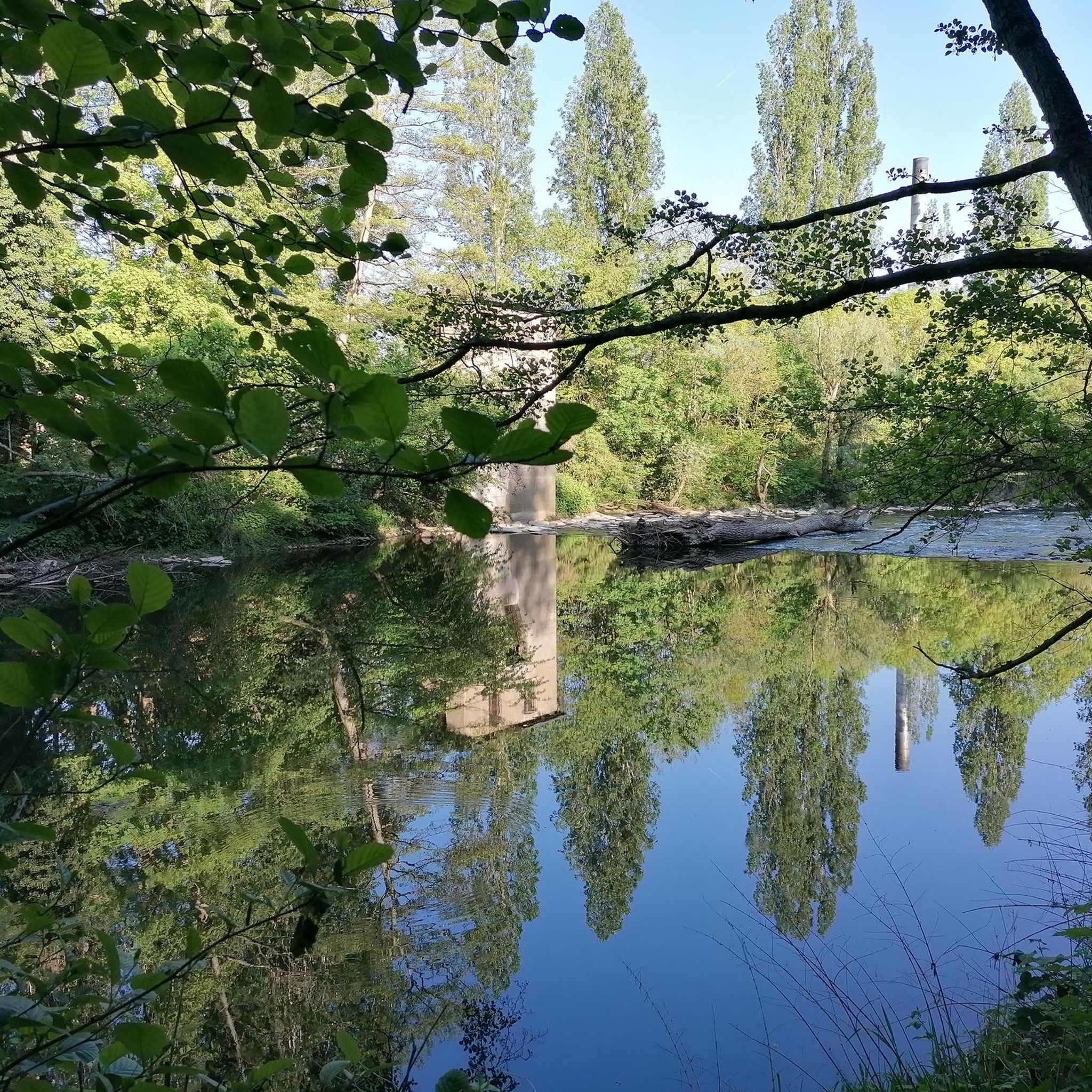
The road passed around the edge of Doon Forest. Mostly a conifer plantation, there is also a lot of deciduous planting around the outside. The quiet road through the trees feel particularly lush in May when the leaves are at their newest and greenest.
0
0

Take in the beautiful rolling green hills whilst cycling down this quiet lane.
1
0

The round tower in Clones was originally built around the 10th century as part of the abbey. Although it would once have stood at 75 feet (23 m), the top part is now missing. Nonetheless, it is still a prominent feature on Clones' skyline. There would once have been four storeys, including a bell storey. St Tierney's graveyard, which surrounds the tower, is also an interesting place to explore with many 17th and 18th-century gravestones and the tomb shrine of St Tighernach.
1
0
Frequently Asked Questions
How many road cycling routes are available around Falls?
The Falls region offers a wide selection of road cycling routes, with over 50 tours available. These routes cater to various skill levels, including 18 easy and 33 moderate options.
What kind of terrain can I expect on road cycling routes in the Falls region?
Road cycling around Falls features diverse landscapes with varied topography. You'll encounter rolling hills, extensive paved roads, and scenic country roads. Many routes offer picturesque views of rivers, lakes, and dense woodlands. While there are moderate climbs, they are generally not excessively steep, providing a balanced challenge for most cyclists.
Are there routes suitable for beginners or those looking for an easy ride?
Yes, the Falls region has several easy road cycling routes perfect for beginners or those seeking a relaxed ride. For example, the Maguiresbridge Road loop from Tempo is an easy 15.0-mile path offering a relatively flat ride. Many areas, like the Neuse River Greenway Trail near Falls Lake, also provide extensive multi-use paths ideal for easier cycling.
What about more challenging road cycling routes in the Falls region?
For cyclists seeking a greater challenge, the Falls region offers numerous moderate routes. The Clones Round Tower – Clones 'Wee' Abbey loop from Tempo is a 43.4-mile trail through rural areas with historical points of interest, featuring significant elevation gain. Other routes, such as the 53.4-mile loop around Falls Lake Causeway, demand good fitness due to their length and varied terrain.
What do other cyclists say about road cycling in Falls?
The road cycling routes in Falls are highly rated by the komoot community, with an average score of 5.0 stars from reviews. Cyclists often praise the varied terrain, scenic views, and the blend of challenging and relaxed options available throughout the region.
Are there any scenic viewpoints or natural attractions along the road cycling routes?
Absolutely. The Falls region is known for its natural beauty. Many routes offer stunning views of rivers and lakes, and some even pass by prominent waterfalls, which are often the namesake of the area. For instance, the Sherar's Falls Scenic Bikeway offers views of the Deschutes and White Rivers, and routes near Lake Champlain often incorporate waterfalls like Wadhams Falls.
Can I find circular road cycling routes in the Falls area?
Yes, many road cycling options in the Falls region are designed as loops, allowing you to start and end at the same point. Examples include the Bishop's Stone loop from Tempo, a 34.4-mile route, and the Maguiresbridge Road – Celtic Crosses Cemetery loop from Tempo, a 45.9-mile option. The Sherar's Falls Scenic Bikeway is also a 33-mile loop specifically designed for road cyclists.
What is the best time of year for road cycling in the Falls region?
The best time for road cycling in the Falls region can vary, but many areas benefit from favorable weather for a significant portion of the year. For example, the Sherar's Falls area in Oregon boasts approximately 300 days of sunshine annually, making it suitable for cycling through much of the spring, summer, and fall. Always check local weather conditions before your ride.
Are there family-friendly road cycling options in Falls?
Yes, the Falls region offers several family-friendly road cycling options. Many areas feature dedicated paved bike trails or multi-use paths that are relatively flat and safe for all ages. The Neuse River Greenway Trail, for instance, provides 34.6 miles of multi-use path, and Fall Creek Falls State Park has an easy 1.2-mile Fall Creek Bike Trail leading to an overlook.
Are there any specific road cycling byways or dedicated paths in the Falls region?
Yes, several areas within the broader 'Falls' regions feature dedicated cycling infrastructure. The Sherar's Falls Scenic Bikeway in Oregon is explicitly designed for road cyclists. In Maryland, the Falls Road Scenic Byway provides access to the 10-mile Jones Falls Trail, and the Torrey C. Brown Rail Trail offers a 20-mile flat path. For more information on specific byways, you can visit resources like visitmaryland.org.
Where can I find information about parking or public transport for road cycling routes in Falls?
Information on parking and public transport options for specific road cycling routes in the Falls region is typically available through local tourism boards or park websites. For example, if you're cycling near Idaho Falls, you can find details on their local biking resources at visitidahofalls.com. It's always recommended to check the specific trailhead or starting point for the most accurate information.
Are there amenities like cafes or pubs along the road cycling routes in Falls?
While specific amenities vary by route and location, many road cycling areas in the Falls region are close to towns or villages where you can find cafes, pubs, and other services. Planning your route in advance and checking maps for nearby establishments is recommended to ensure you have access to refreshments and rest stops.
Most popular routes around Falls

Get inspired with the komoot mobile app


Explore more
Browse the best Road cycling routes in other regions.
