The best mountain hikes around Schattwald
4.8
(182)
1,039
hikers
29
hikes
Mountaineering around Schattwald, nestled in Austria's Tannheimer Tal, features a diverse alpine landscape characterized by towering peaks, high valleys, and pristine mountain lakes. The region is part of the Vilsalpseeberge, a sub-group of the Allgäu Alps, offering rugged terrain and limestone rock faces. Prominent features include the Rohnenspitze (1960m), Ponten (2048m), and Bschießer (2000m), providing varied and challenging routes.
Best mountaineering routes around Schattwald
- The most popular mountaineering route is Iseler Summit – Kühgund Peak loop from Schattwald, a…
Last updated: October 5, 2026
4.8
(61)
267
hikers
Moderate mountaineering route. Good fitness required. Mostly accessible paths. Sure-footedness required.
4.9
(31)
133
hikers
9.61km
04:45
860m
860m
Hard mountaineering route. Good fitness required. Sure-footedness, sturdy shoes and alpine experience required.

4.9
(15)
190
hikers
12.7km
05:55
990m
990m
Hard mountaineering route. Very good fitness required. Sure-footedness, sturdy shoes and alpine experience required.
5.0
(14)
97
hikers
10.9km
05:31
980m
980m
Hard mountaineering route. Very good fitness required. Sure-footedness, sturdy shoes and alpine experience required.
4.9
(11)
51
hikers
13.2km
05:42
940m
940m
Hard mountaineering route. Very good fitness required. Mostly accessible paths. Sure-footedness required.
Get access to more routes and recommendations from other explorers.
Already have an account?
Our route recommendations are based on thousands of hikes, rides, and runs completed by other people on komoot.
Start today with a free account
Your next adventure awaits.
Popular around Schattwald
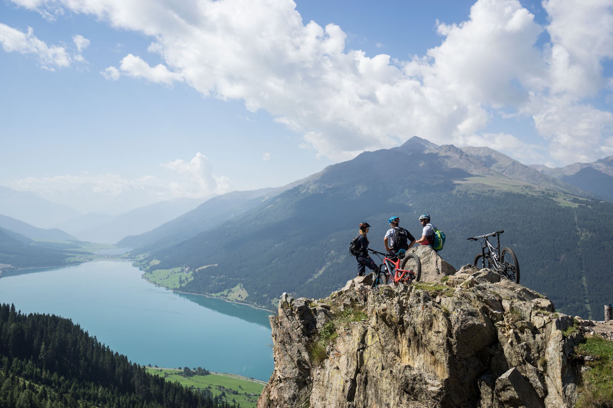
High into the Tyrolean mountain world – mountain biking in Tyrol
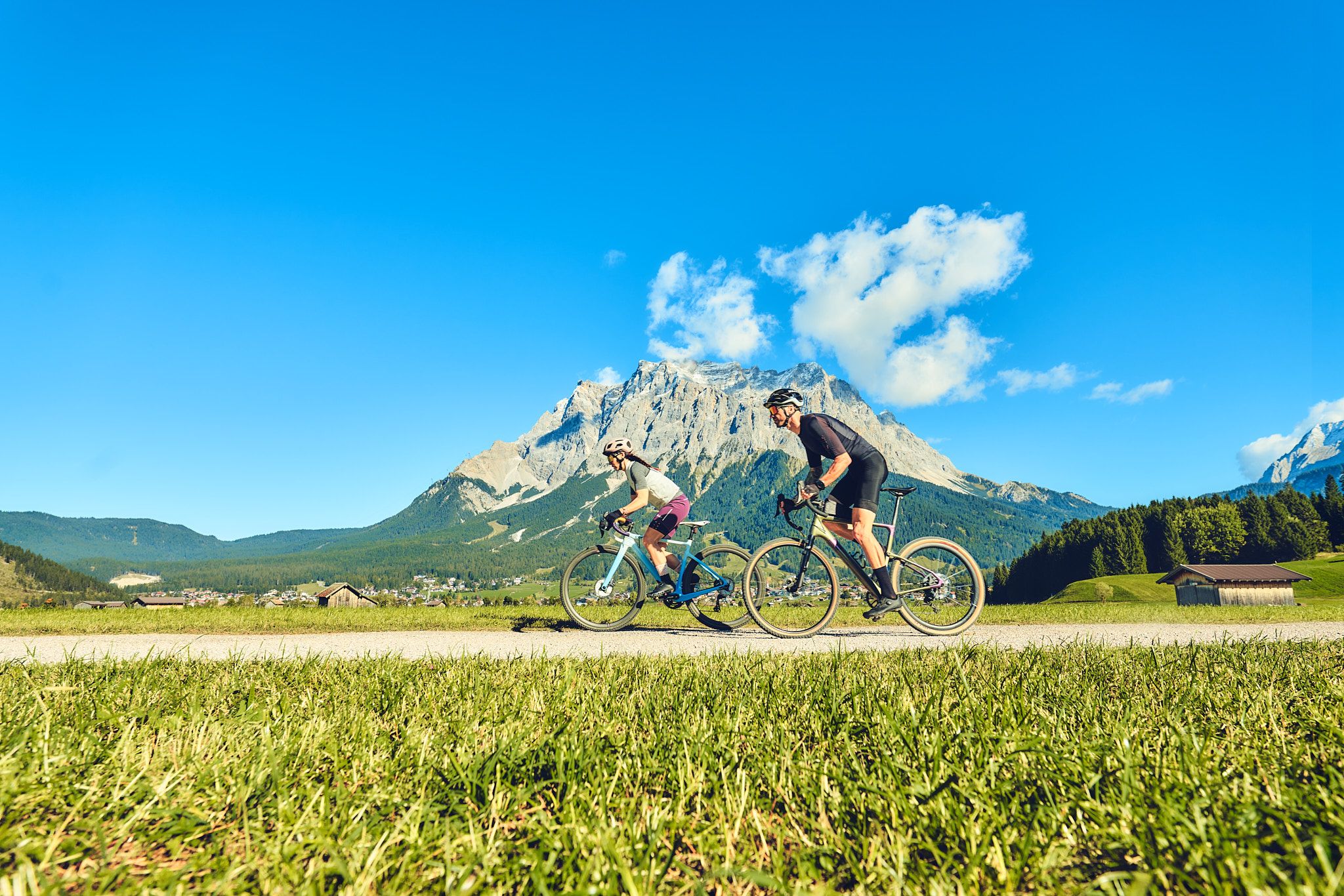
Experience the Außerfern in Tyrol's largest gravel bike region

No time for boredom – family hikes with a fun factor in Bayern
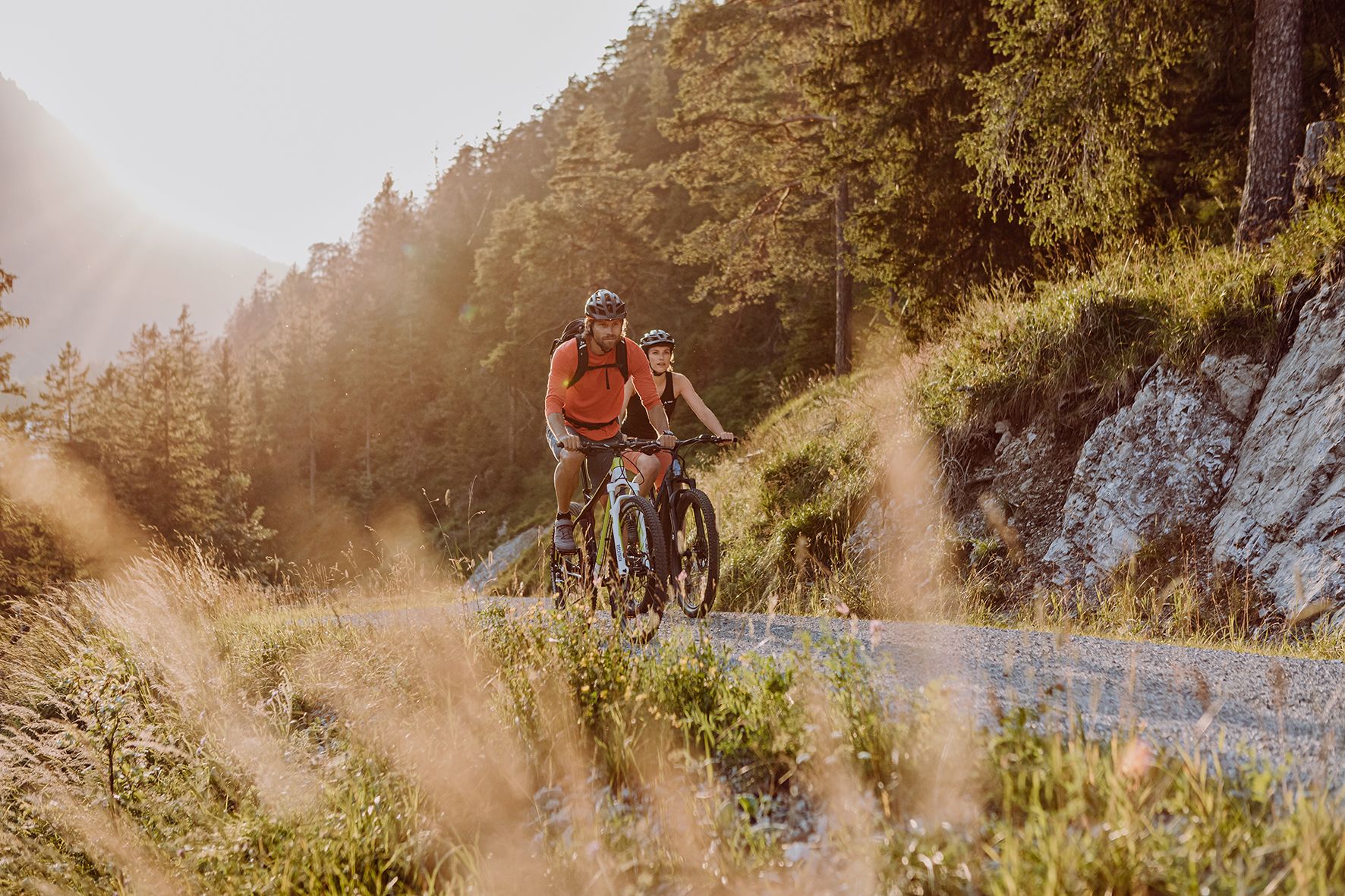
Alpine panorama and mountain huts – nature biking in Germany’s Allgäu
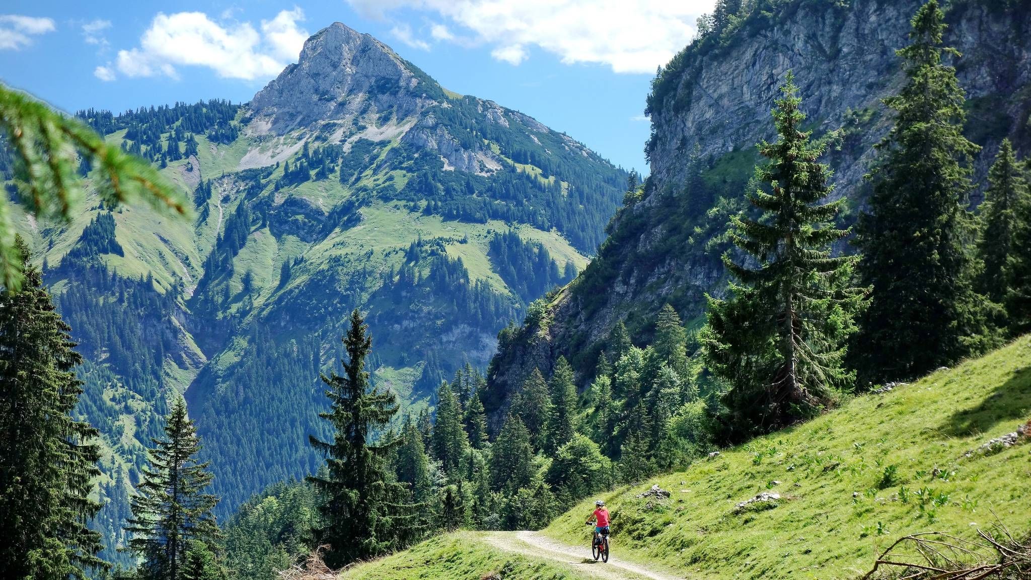
MTB fun around Austria’s Tannheim Valley

Climbing Alpine peaks on the Route to the Top – Allgäu hiking trilogy
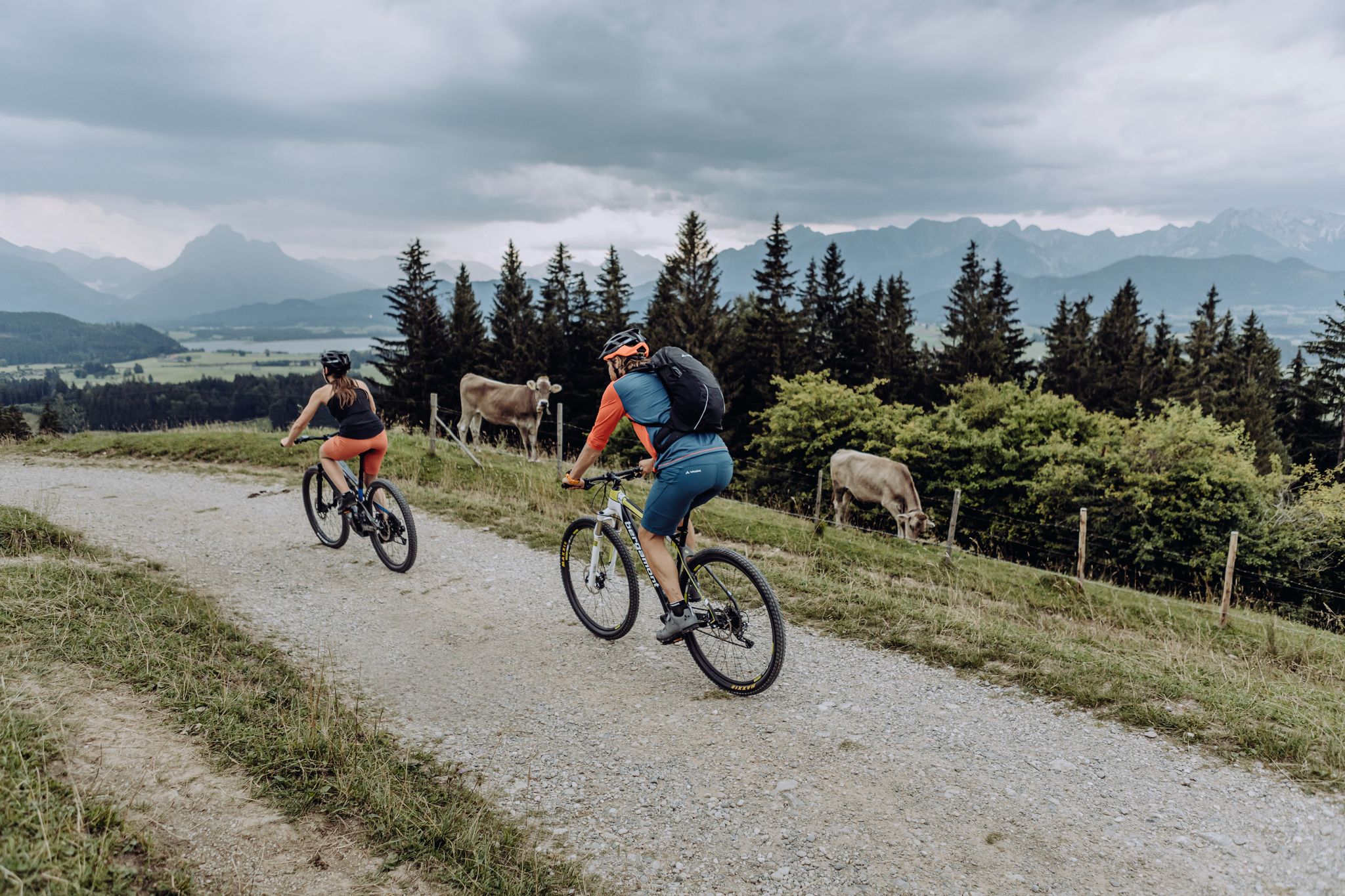
Crossing the Allgäu Alps to Tyrol – Naturbiken MTB route
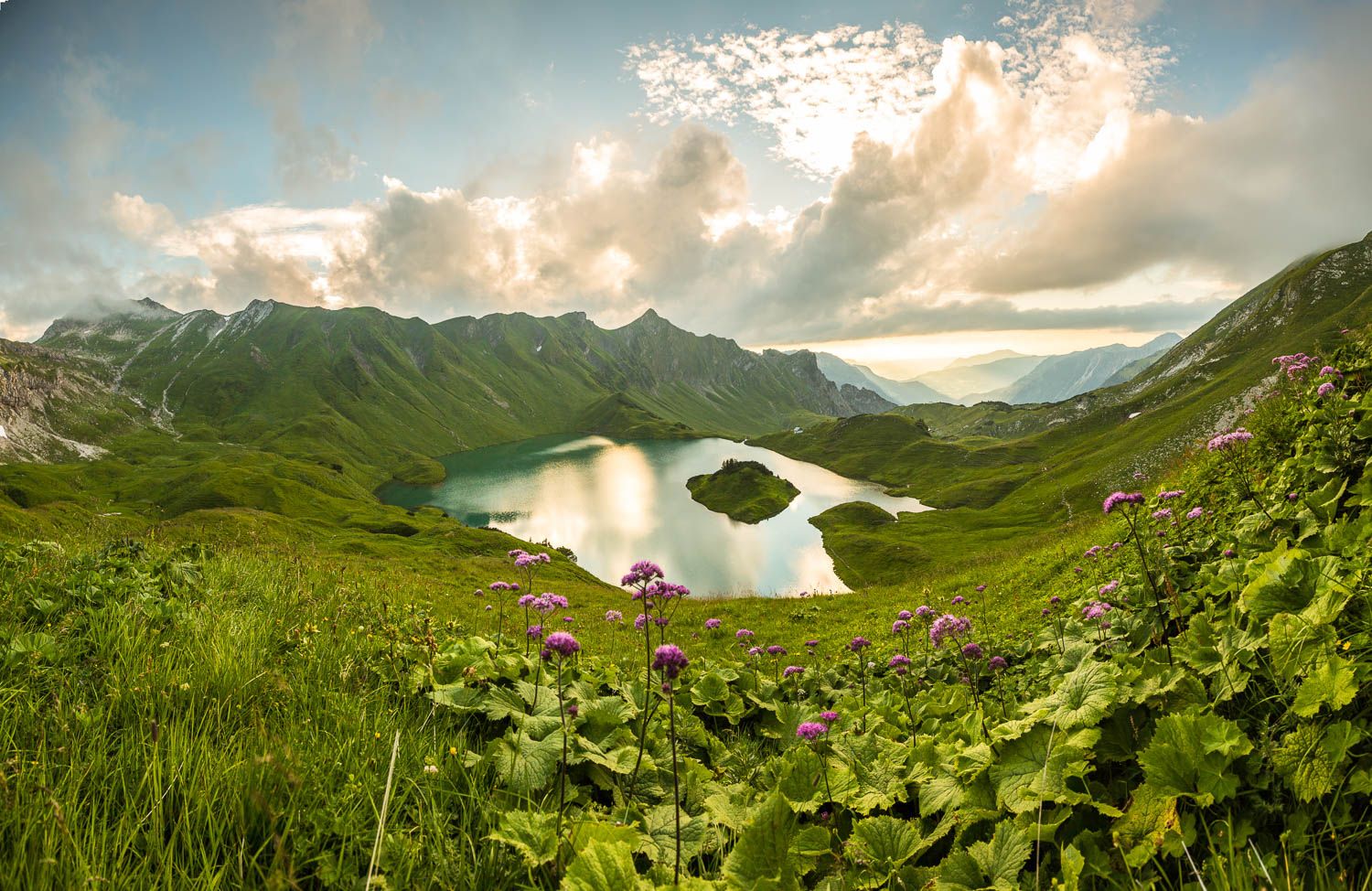
Grenzgänger – 6 Days Long Distance Hiking in Tannheimer Tal
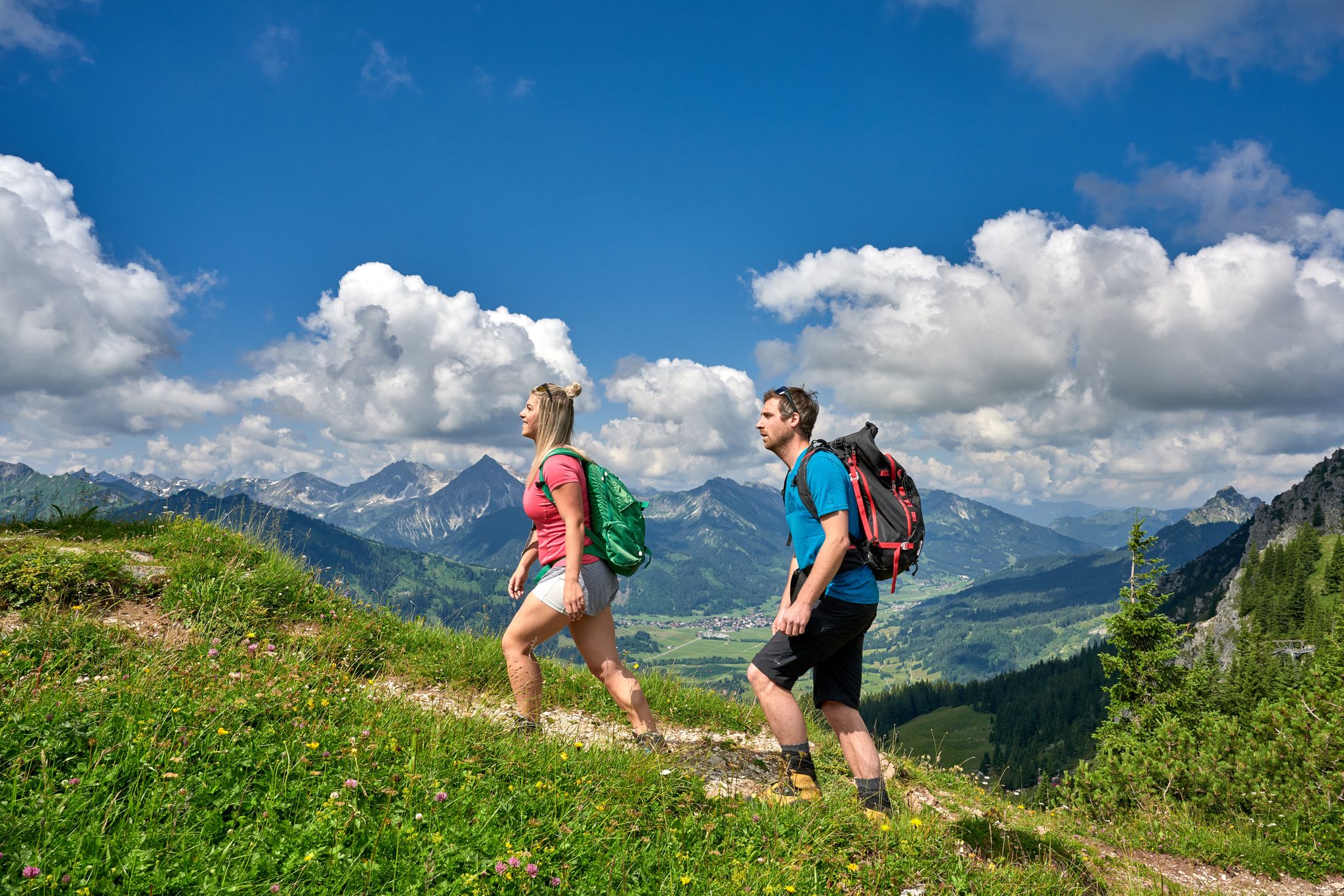
Beautiful alpine hikes with mountain huts in Austria’s Tannheimer Tal
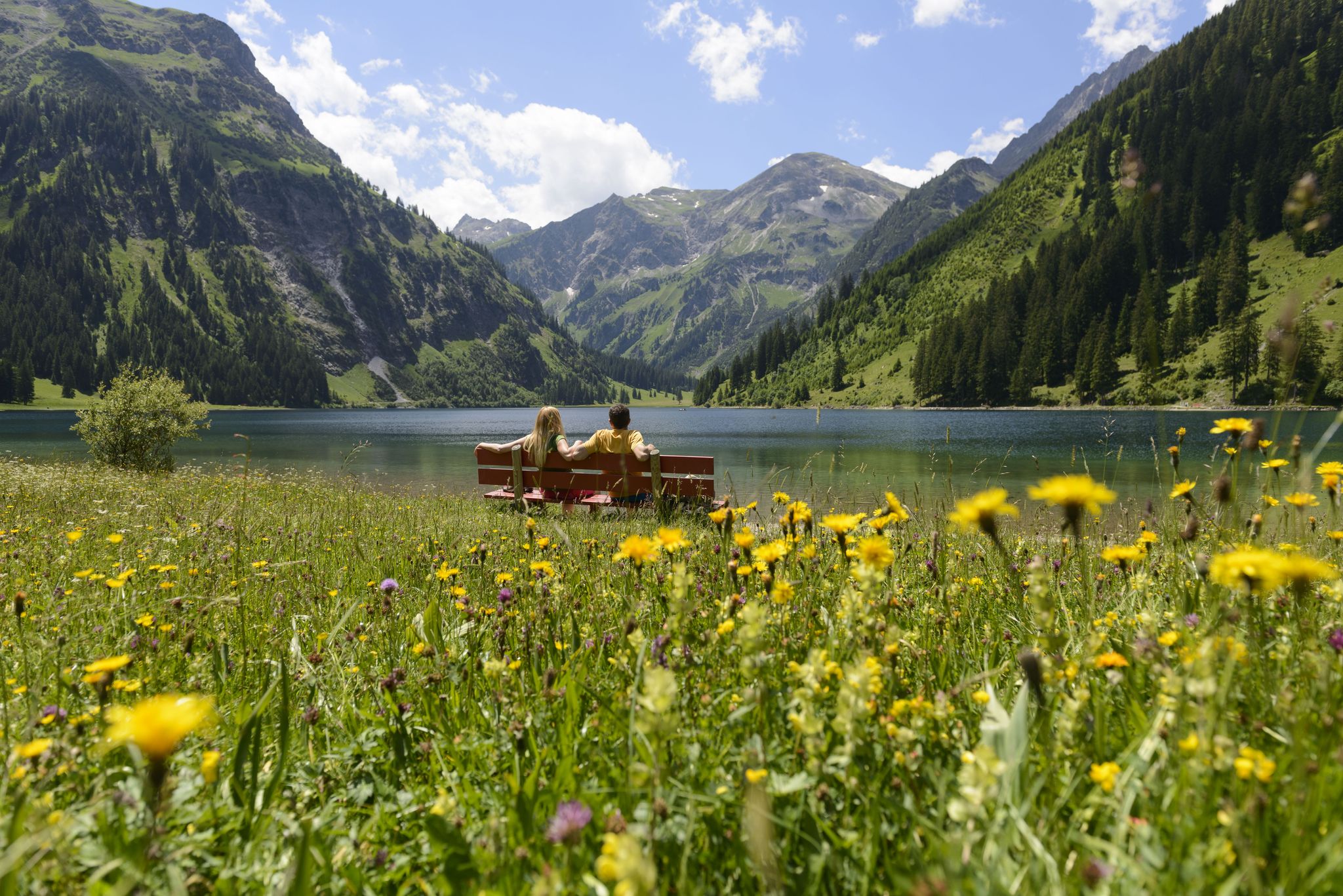
Summits, lakes & pleasure — Hiking in the Tannheimer Valley
Other adventures around Schattwald


Tips from the Community

Beautiful view from up here
1
0
Beautiful view of the 2,000er
1
0

simply enjoy
0
0

A great place to hike: an airy but never exposed path over the ridge between Bschießer and Ponten with great views in all directions + a rapid view down into the entire Hintersteiner valley.
0
0

Trails to the Stuibenalpe
0
0

Unfortunately, the Iseler is usually completely overcrowded thanks to the cable car underneath
4
0

Nice view of the Ponten and Bscheißer :)
0
0

Frequently Asked Questions
How many mountaineering routes are available around Schattwald?
Schattwald offers a diverse selection of over 30 mountaineering routes. These range from moderate mountain hikes to more challenging alpine ascents, catering to various fitness and experience levels.
What kind of terrain can I expect on mountaineering routes around Schattwald?
The terrain around Schattwald, part of the Vilsalpseeberge in the Allgäu Alps, is quite varied. You'll encounter everything from easy paths and meadow trails to rugged limestone formations and rocky sections. Many routes require sure-footedness and a head for heights, offering a true alpine experience.
Are there any circular mountaineering routes in the Schattwald area?
Yes, Schattwald features several excellent circular routes. For a challenging option, consider the Bschießer Summit – Ponten loop from Schattwald, which is a difficult 7.8-mile (12.6 km) trail. Another demanding circular route is the Ponten – Rohnenspitze loop from Schattwald, covering about 10.8 miles (17.4 km).
What natural attractions can I see along the mountaineering routes?
Many routes offer stunning views of the Tannheimer Tal and the Allgäu Alps. You might encounter the beautiful Lake Vilsalp, considered one of Tyrol's most picturesque mountain lakes. Other notable features include the impressive Starzlach Gorge and the Waterfall trail Nesselwang, which provides an adventurous hiking experience.
Are there any family-friendly mountaineering options near Schattwald?
While many routes are challenging, the area around Lake Vilsalp offers more accessible paths suitable for families. The lake itself is within a nature reserve and provides a beautiful panorama, with opportunities for relaxation. For a moderate mountain hike, the Iseler Summit – Kühgund Peak loop from Schattwald offers expansive views and is a good option for those with some hiking experience.
What is the best time of year for mountaineering in Schattwald?
The summer months are ideal for mountaineering in Schattwald, offering the best weather conditions for tackling the high alpine peaks and rocky sections. However, the region also transforms into a winter sports paradise, with cleared winter hiking trails and opportunities for snowshoeing, providing a different kind of alpine experience.
What do other mountaineers enjoy most about the routes in Schattwald?
The mountaineering routes in Schattwald are highly rated by the komoot community, with an average score of 4.8 stars from over 170 reviews. Users frequently praise the spectacular panoramas, the diverse terrain, and the breathtaking views of the Tannheimer Valley and the Allgäu Alps.
Are there any challenging routes for experienced mountaineers?
Absolutely. Schattwald is known for its demanding routes. The Bschießer Summit – Stuibensennalpe loop from Schattwald is a difficult 12.8-mile (20.6 km) route with significant elevation gain, perfect for those seeking a strenuous alpine adventure. The region also offers rock climbing and fixed rope routes on mountains like Aggenstein and Gimpel.
Is there public transport available to access mountaineering routes in Schattwald?
Schattwald is nestled in the Tannheimer Tal, and while specific public transport details for trailhead access aren't provided, the valley is generally well-connected. It's advisable to check local bus schedules for connections within the Tannheimer Tal to reach various starting points for your mountaineering adventures.
Are there any places to eat or stay near the mountaineering routes?
The Tannheimer Tal region, including Schattwald, is well-equipped with amenities for visitors. You'll find various cafes, pubs, and accommodation options in the villages throughout the valley, perfect for refueling and resting after a day on the mountains. Specific locations would depend on your chosen route.
Can I bring my dog on the mountaineering trails around Schattwald?
Many trails in the Tannheimer Tal are dog-friendly, but it's always recommended to check specific route regulations, especially in nature reserve areas like around Lake Vilsalp. Ensure your dog is well-behaved, kept on a leash where required, and that you carry enough water for both of you.
What are the typical durations for mountaineering routes in Schattwald?
Route durations vary significantly based on difficulty and length. Moderate routes, like the Rohnenspitze Summit Trail – Rohnenspitze loop from Zöblen (6.1 miles / 9.8 km), can take around 4-5 hours. More difficult and longer routes, such as the Bschießer Summit – Ponten loop from Schattwald (7.8 miles / 12.6 km), typically require 5-6 hours or more to complete.
Most popular routes around Schattwald
Most popular attractions around Schattwald

Get inspired with the komoot mobile app


Explore more
Browse the best Mountain Hikes & Routes in other regions.
