The best mountain hikes around Reith im Alpbachtal
4.9
(448)
3,757
hikers
109
hikes
Mountaineering routes around Reith im Alpbachtal traverse a diverse alpine landscape characterized by forested slopes, open alpine meadows, and prominent mountain summits. The region, nestled in the Tyrolean Alps, offers varied terrain suitable for different levels of experience. Mountaineers can expect well-marked paths leading to panoramic viewpoints and through traditional mountain pastures. The area's geology contributes to a mix of challenging ascents and more gentle, scenic traverses.
Best mountaineering routes around Reith im Alpbachtal
- The most popular mountaineering route is…
Last updated: August 31, 2026
4.6
(5)
42
hikers
11.6km
05:11
870m
870m
Hard mountaineering route. Very good fitness required. Sure-footedness, sturdy shoes and alpine experience required.
28
hikers
13.2km
05:40
890m
890m
Hard mountaineering route. Very good fitness required. Sure-footedness, sturdy shoes and alpine experience required.

Sign up for free
5.0
(1)
27
hikers
6.99km
04:14
860m
860m
Moderate mountaineering route. Good fitness required. Mostly accessible paths. Sure-footedness required.
5.0
(2)
20
hikers
3.71km
01:34
230m
230m
Moderate mountaineering route. Great for any fitness level. Mostly accessible paths. Sure-footedness required.
4.7
(3)
19
hikers
15.9km
06:22
1,010m
1,010m
Hard mountaineering route. Very good fitness required. Sure-footedness, sturdy shoes and alpine experience required.
Get access to more routes and recommendations from other explorers.
Sign up for free
Already have an account?
Our route recommendations are based on thousands of hikes, rides, and runs completed by other people on komoot.
Start today with a free account
Your next adventure awaits.
Login or Signup
Popular around Reith im Alpbachtal
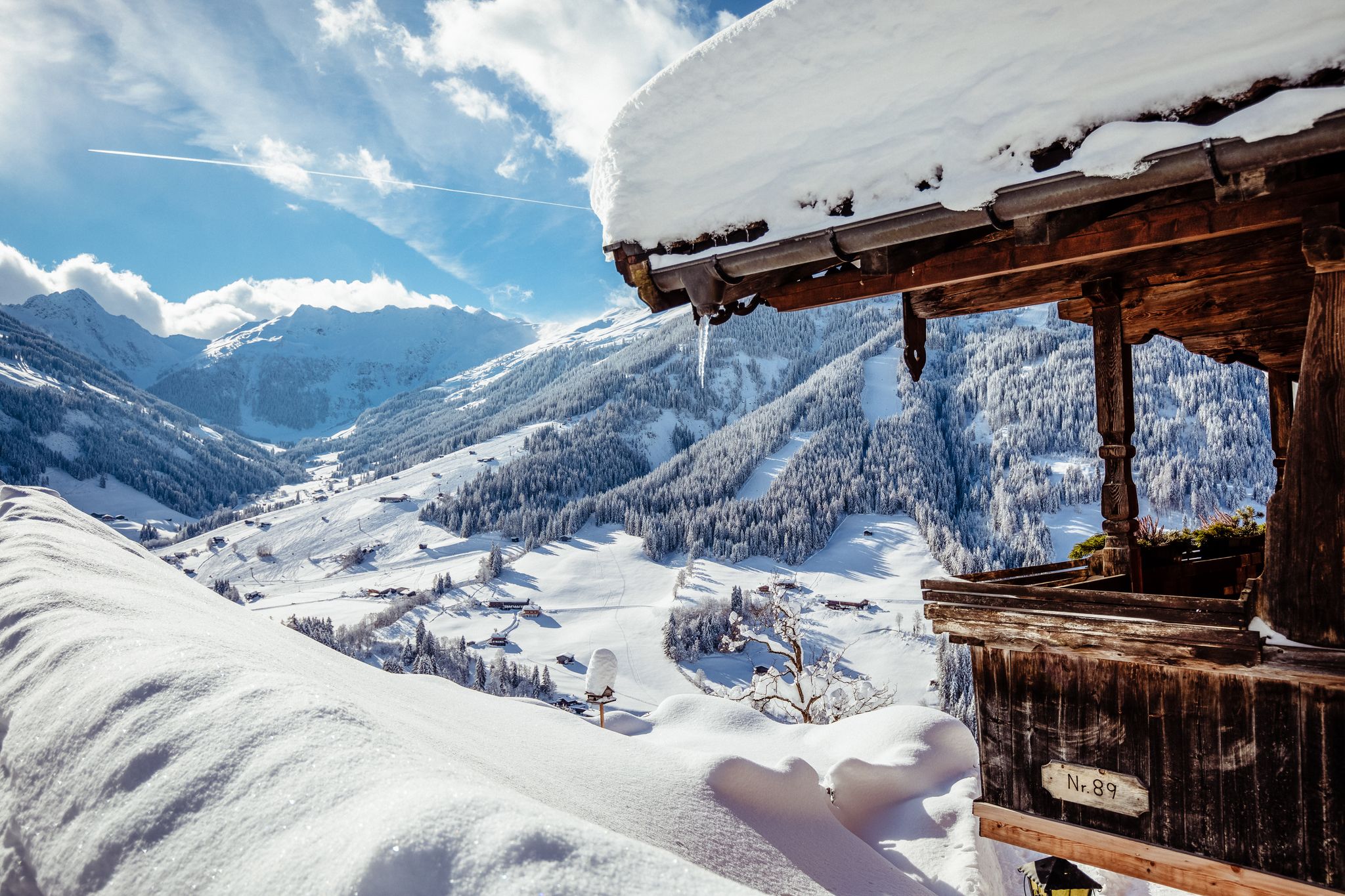
Where winter dreams come true – the 10 most beautiful hikes in Alpbachtal
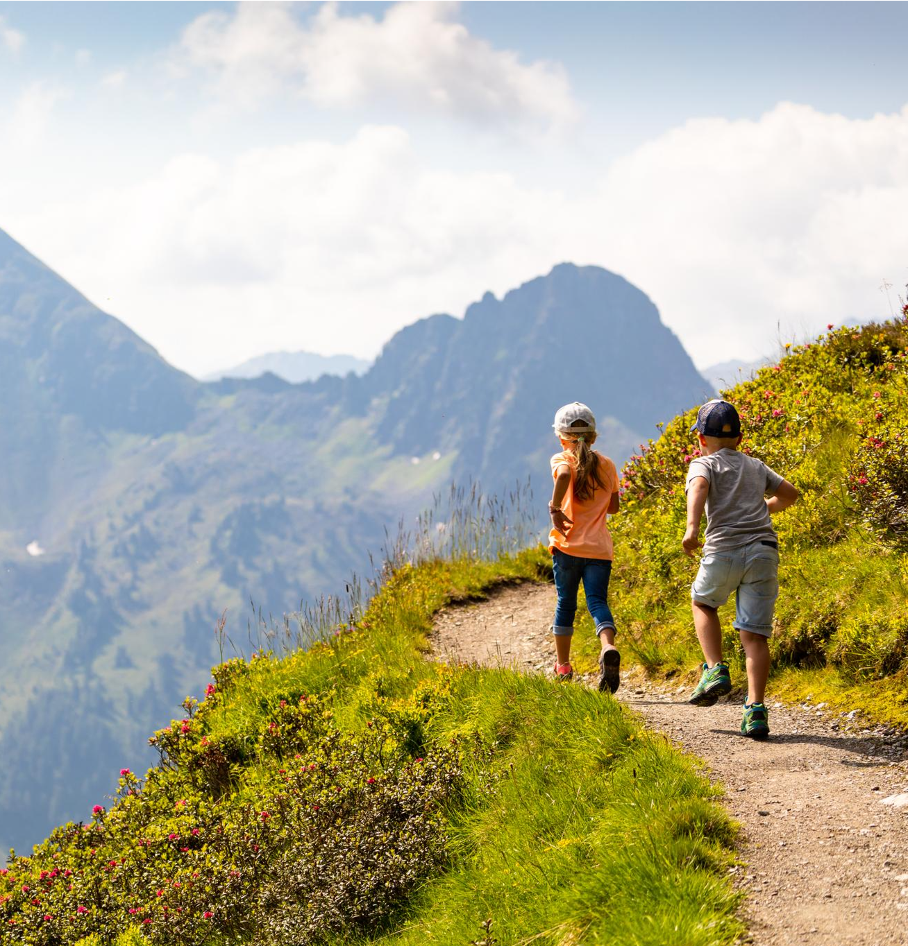
3-day family tour – HIKING in the Alpbachtal
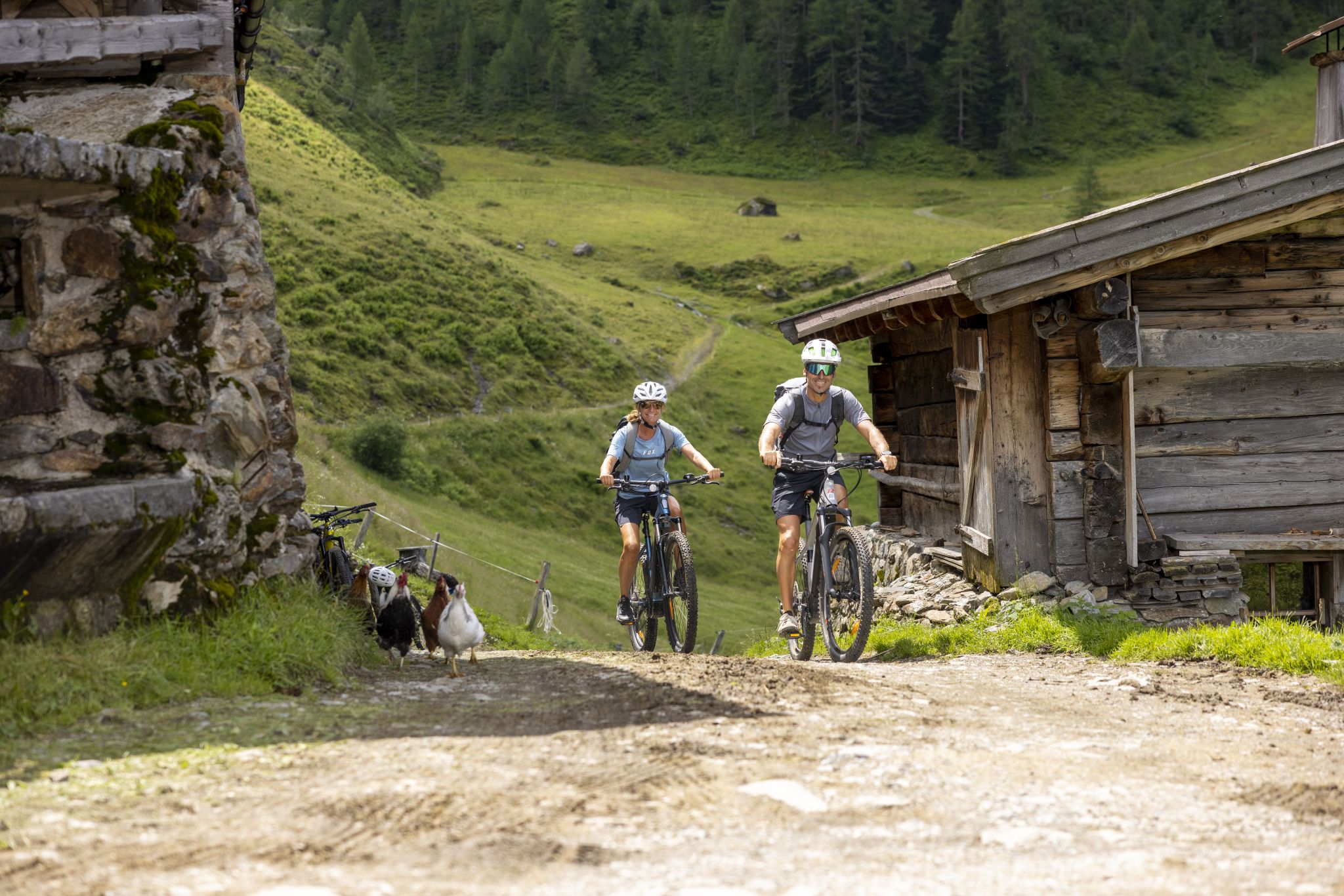
E-Biking in Austria’s Alpbachtal – discovering Tyrol on two wheels
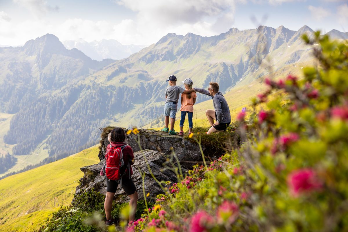
10 nature hikes for the whole family in the Alpbachtal Valley
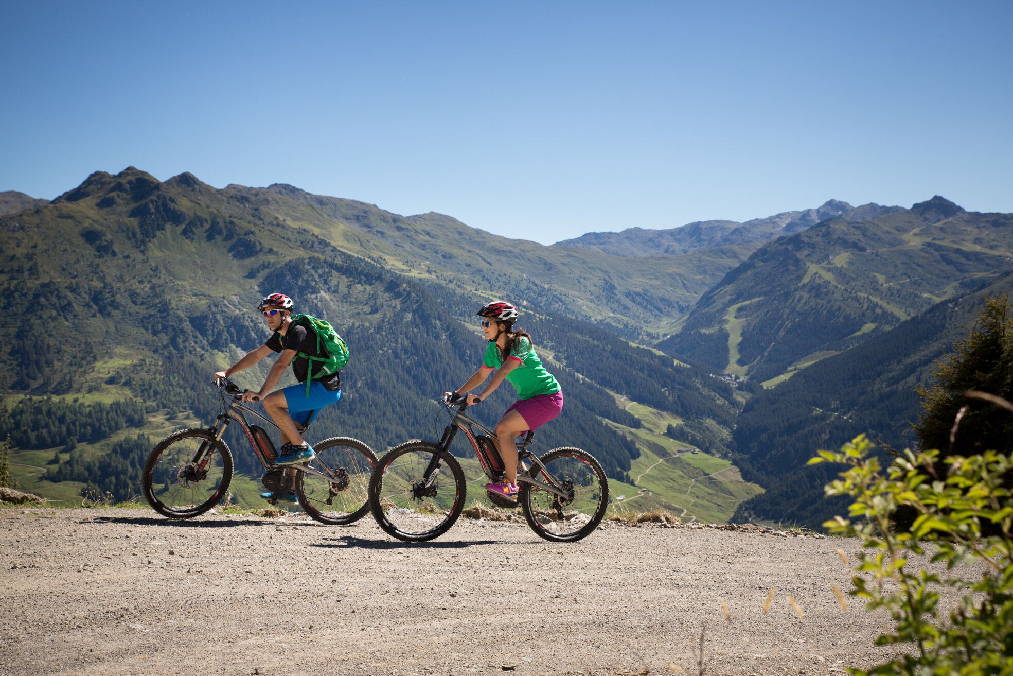
MTBing in Austria’s Zillertal Valley – explore the Fügen-Kaltenbach region
Great hikes for the whole family – 10 Tours in the Alpbachtal in Austria
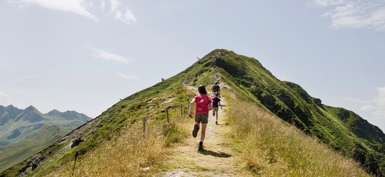
The most exciting family hikes in Tyrol
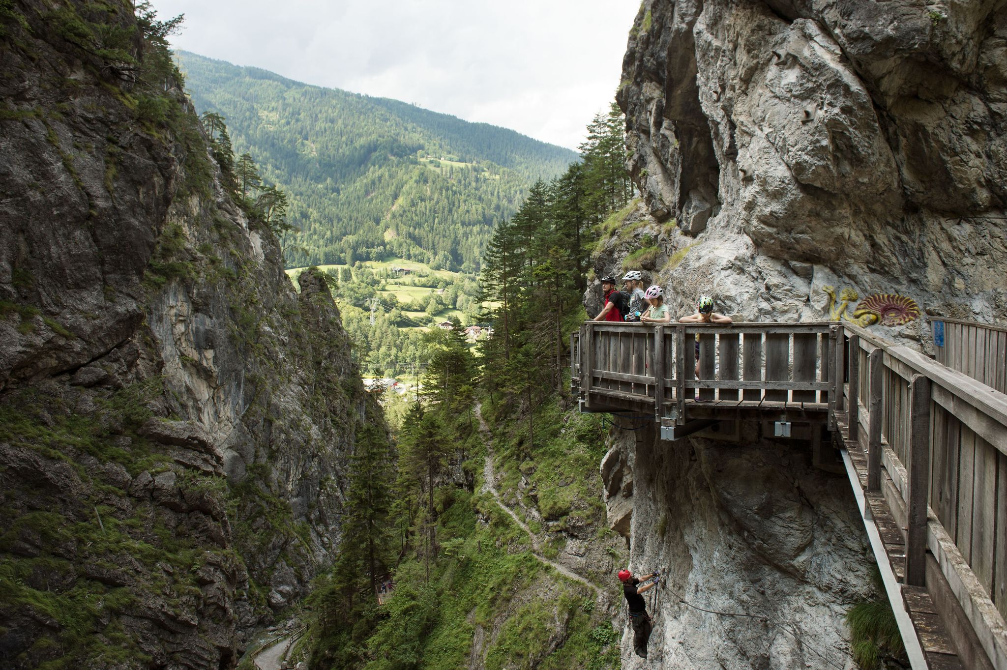
Natur, Spaß und Erholung – Radtouren für Familien in Tirol
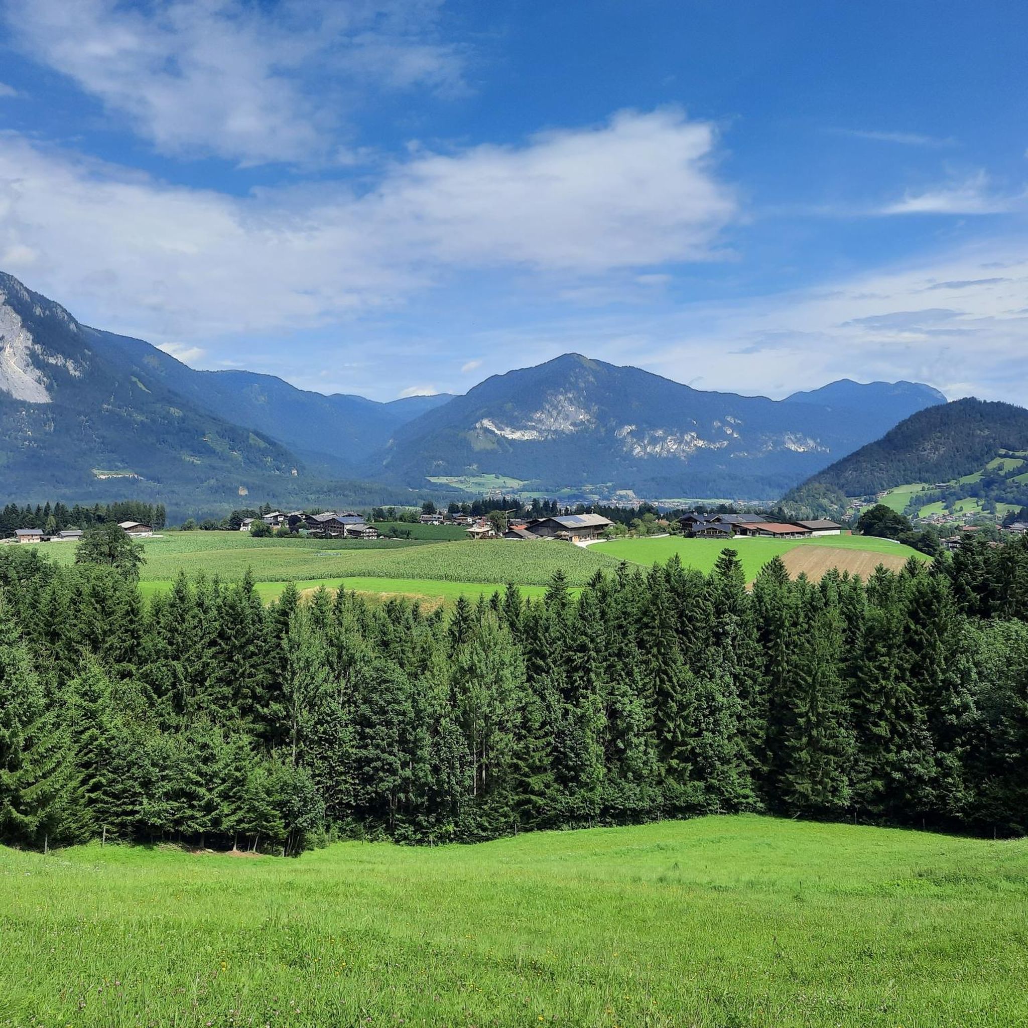
Road Cycling Routes around Reith im Alpbachtal
Hiking around Reith im Alpbachtal
Other adventures around Reith im Alpbachtal


Tips from the Community

Very nice hike with beautiful views
1
0
Simply fantastic view in different directions
0
0

After about half the route you reach the new Hornalm with a place to stop for refreshments.
0
0

Nice snack station below the Gratlspitze.
3
0
First a wide road, from the Holzalm then later a narrow path to the Hösljoch.
3
0

A door into the mountains beautiful photo motif
0
0

As if the view of the Alpbach Valley wasn't beautiful enough, you'll find a delightful photo opportunity here. The rustic door, which points directly into the breathtaking landscape but leads nowhere, is the perfect frame for your souvenir photo.
1
0
Frequently Asked Questions
How many mountaineering routes are available around Reith im Alpbachtal?
There are over 120 mountaineering routes around Reith im Alpbachtal listed on komoot. These routes cater to various skill levels, with 8 easy, 40 moderate, and 73 difficult options.
Are there family-friendly mountaineering routes in Reith im Alpbachtal?
Yes, Reith im Alpbachtal offers several routes suitable for families. For a moderate option, consider the Wiedersberger Horn loop from Dauerstoa Alm, which is just under 4 km long and takes about 1 hour 35 minutes to complete, offering manageable elevation gain.
What is the best season for mountaineering in Reith im Alpbachtal?
The best season for mountaineering in Reith im Alpbachtal is typically from late spring through early autumn (May to October). During these months, trails are generally free of snow, and the weather is more stable, offering pleasant conditions for exploring the alpine landscape.
Are there any circular mountaineering routes in the area?
Yes, many routes in Reith im Alpbachtal are designed as circular tours. A popular moderate option is the Gratlspitz Summit loop from Holzalm, which is 4.7 km long and offers rewarding summit views.
What kind of scenic viewpoints can I expect on these routes?
Mountaineering routes in Reith im Alpbachtal often lead to panoramic viewpoints overlooking the Alpbachtal valley and surrounding Tyrolean Alps. The Alpbach Village – Gratlspitz Summit loop from Alpbach, for instance, provides extensive views from its summit sections.
What should I wear for mountaineering in Reith im Alpbachtal?
For mountaineering in Reith im Alpbachtal, it's advisable to wear sturdy hiking boots, layered clothing suitable for changing mountain weather, and waterproof outerwear. Always carry enough water, snacks, a map, and sun protection.
Are there options for advanced mountaineers seeking a challenge?
Absolutely. Advanced mountaineers can find challenging routes with significant elevation gain. The Ridge Trail Gratlspitze – Gratlspitze loop from Alpbach is a difficult 16 km route with over 1000 meters of elevation gain, offering a demanding alpine experience.
What do other mountaineers say about the routes in Reith im Alpbachtal?
The mountaineering routes in Reith im Alpbachtal are highly rated by the komoot community, with an average score of 4.9 stars from over 490 reviews. Mountaineers often praise the well-marked paths, diverse alpine scenery, and the rewarding summit views.
Are there any interesting landmarks or attractions near the mountaineering trails?
Yes, the region offers historical landmarks. You can explore several castles nearby, such as Tratzberg Castle or Matzen Castle, which are great for a cultural detour after your hike.
How can I access the trailheads using public transport?
Reith im Alpbachtal and the wider Alpbachtal region are generally well-served by public transport, including local buses. Many trailheads are accessible from village centers, making it possible to reach them without a car. It's recommended to check local bus schedules for specific route access points.
Where can I find parking for mountaineering routes?
Designated parking areas are typically available near popular trailheads in and around Reith im Alpbachtal and Alpbach. Look for signs indicating 'Wanderparkplatz' (hiking parking) in the villages or at the start of major routes. Some parking areas may require a small fee.
Are there less crowded mountaineering options for a quieter experience?
While popular routes like those around Gratlspitz can see more visitors, exploring routes earlier in the morning or later in the afternoon, or choosing trails slightly off the main tourist paths, can offer a quieter experience. The region's extensive network means there are always less frequented options to discover.
What is a good moderate mountaineering route for a half-day trip?
For a moderate half-day trip, the Gratlspitz Summit loop from Alpbach is an excellent choice. It's 7 km long and typically takes around 4 hours 15 minutes, leading through alpine forests and open areas to the summit.
Most popular routes around Reith im Alpbachtal
Most popular attractions around Reith im Alpbachtal

Get inspired with the komoot mobile app


Explore more
Browse the best Mountain Hikes & Routes in other regions.
