The best mountain hikes around Reith bei Seefeld
4.8
(300)
3,437
hikers
10
hikes
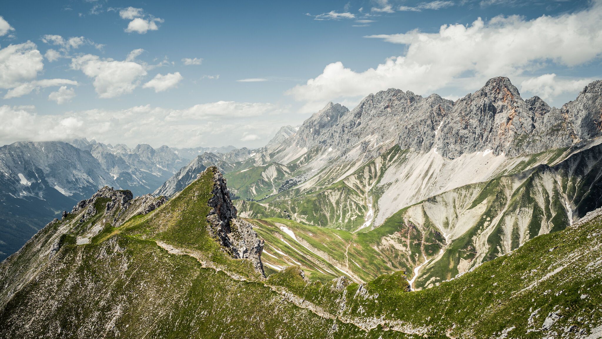
Mountaineering routes around Reith bei Seefeld traverse the alpine landscape of the Region Seefeld – Tirols Hochplateau. The area is characterized by significant elevation changes, offering access to prominent peaks and mountain huts. Routes often lead through a mix of forested lower slopes and exposed, rocky high-alpine terrain, providing varied challenges for mountaineers.
Best mountaineering routes around Reith bei Seefeld
- The most popular mountaineering route is Härmelekopf Mountain Station – Nördlinger Hut loop from Seefeld in Tirol, a 6.9…
Last updated: July 8, 2026
16
hikers
4.34km
02:00
280m
280m
Hard mountaineering route. Great for any fitness level. Sure-footedness, sturdy shoes and alpine experience required.
9
hikers
9.47km
04:56
890m
890m
Moderate mountaineering route. Good fitness required. Mostly accessible paths. Sure-footedness required.

Sign up for free
11
hikers
3.46km
01:51
280m
280m
Hard mountaineering route. Great for any fitness level. Sure-footedness, sturdy shoes and alpine experience required.
5.0
(3)
6
hikers
13.6km
06:46
1,190m
1,190m
Hard mountaineering route. Very good fitness required. Sure-footedness, sturdy shoes and alpine experience required.
3
hikers
14.2km
07:21
990m
980m
Hard mountaineering route. Very good fitness required. Sure-footedness, sturdy shoes and alpine experience required.
Get access to more routes and recommendations from other explorers.
Sign up for free
Already have an account?
Our route recommendations are based on thousands of hikes, rides, and runs completed by other people on komoot.
Start today with a free account
Your next adventure awaits.
Login or Signup
Popular around Reith bei Seefeld
The Karwendel Trail – Discover Austria's largest national park
Hiking fun for young and old on Tyrol's high plateau
Around Scharnitz – Mountain bike treasures in the Karwendel Nature Park
Multi-day WÖFFI mountain hikes in Karwendel
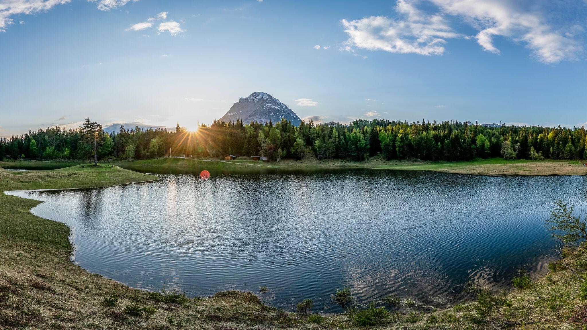
Refreshing watery hiking around Seefeld
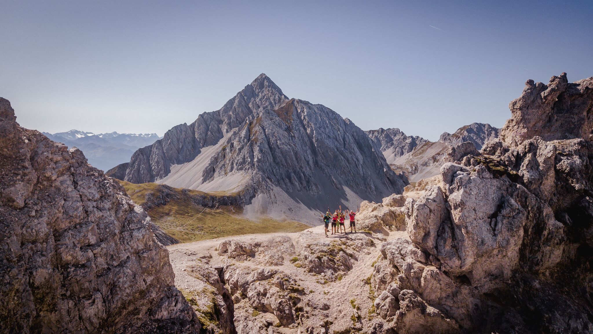
Karwendel Höhenweg – Weitwandern inmitten von Giganten
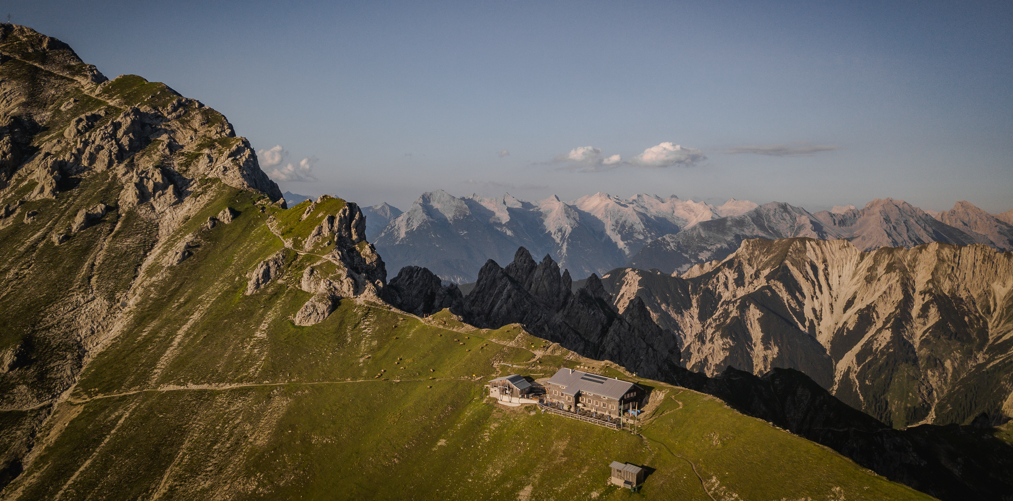
Hiking & enjoyment: huts and pastures around the Seefeld region - Tyrol's high plateau
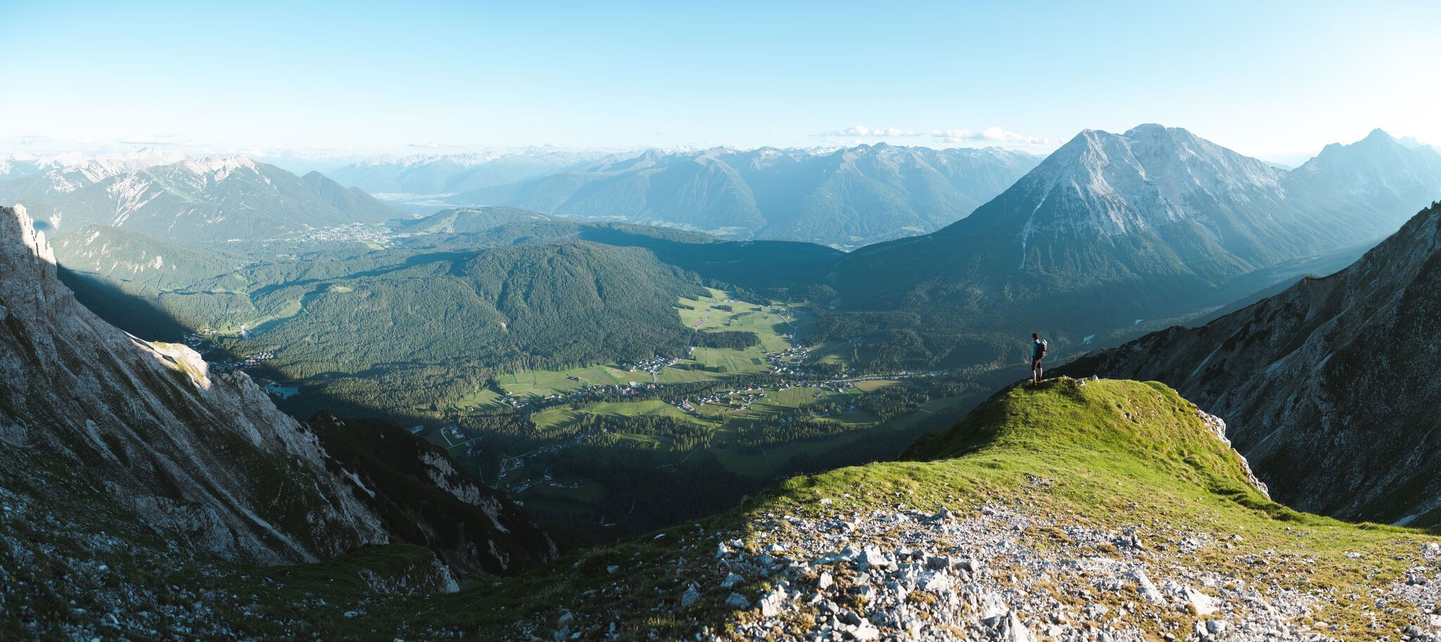
On the Seefelder Plateau
Hoch hinaus – die schönsten Gipfeltouren in der Region Seefeld
Cycling around Reith bei Seefeld
Other adventures around Reith bei Seefeld


Tips from the Community


Short, unproblematic ladder section on the way to the Reither Spitze, although the aluminum ladder does spring a little.
1
0

At the Schartlehnerhaus, a former inn, there are tables and benches for a relaxing break. It's beautifully situated, right at the tree line.
0
0

Ski tour to the Härmelekopf from the Rosshütte valley station via the Reitherjoch Alm and the Härmelekopf mountain station. Descent from the Härmelekopf mountain station via the ski slopes of the Rosshütte ski area. Before that, depending on the snow conditions, on the south-west side towards the Härmelekopf mountain station.
0
0

Closed from October to mid-December. Self-service fridge empty. But WiFi works!
1
0

From here you have a wonderful view.
1
0


Frequently Asked Questions
How many mountaineering routes are available around Reith bei Seefeld?
There are over 10 distinct mountaineering routes documented around Reith bei Seefeld on komoot, catering to various skill levels. The region is known for its significant elevation changes and high-alpine terrain.
Are there any beginner-friendly or moderate mountaineering routes in Reith bei Seefeld?
While many routes in Reith bei Seefeld are challenging, there are some moderate options suitable for those with some mountaineering experience. For example, the Schartlehnerhaus – Rauenkopf (2,012 m) loop from Reith bei Seefeld is a moderate 5.8-mile (9.4 km) path that includes a summit ascent and passes a mountain refuge.
What are the best seasons for mountaineering in Reith bei Seefeld?
The prime season for mountaineering in Reith bei Seefeld is typically from late spring through early autumn (June to September). During these months, trails are generally free of snow, and weather conditions are more stable. Always check local weather forecasts and trail conditions before heading out, especially in shoulder seasons.
Are there any circular mountaineering routes in the area?
Yes, several routes in Reith bei Seefeld are designed as loops, allowing you to start and end at the same point. A popular option is the Härmelekopf Mountain Station – Nördlinger Hut loop from Seefeld in Tirol, which is 6.9 miles (11.1 km) long and offers access to a mountain hut and panoramic views.
What kind of challenging mountaineering routes can I find in Reith bei Seefeld?
Reith bei Seefeld offers several difficult routes for experienced mountaineers. The Nördlinger Hut – Reither Saddle loop from Reith bei Seefeld is an 8.3-mile (13.3 km) difficult trail leading through high-alpine terrain and past the Nördlinger Hut, often taking over 6 hours to complete.
Are there any mountaineering routes with mountain huts or cafe stops?
Yes, many mountaineering routes in the region incorporate mountain huts, which offer refreshments and sometimes overnight stays. The Härmelekopf Mountain Station – Nördlinger Hut loop from Seefeld in Tirol, for instance, provides access to the Nördlinger Hut, a popular stop for mountaineers.
What can I see along the mountaineering routes around Reith bei Seefeld?
The routes offer stunning alpine scenery and access to various natural landmarks. You can encounter impressive viewpoints like the Seefelder Joch Summit & Panoramic Viewpoint or the View of Telfs and the Inn Valley. Some trails also lead near natural features such as the Gleirsch Gorge or various waterfalls within the Karwendel Nature Park.
Is public transport available to reach mountaineering trailheads in Reith bei Seefeld?
Reith bei Seefeld and the wider Seefeld region are generally well-connected by public transport, including local buses and trains. Many trailheads are accessible via these services, making it possible to embark on mountaineering tours without a car. It's advisable to check specific bus schedules and stops relevant to your chosen route's starting point.
What do other mountaineers enjoy most about the routes in Reith bei Seefeld?
The mountaineering routes in Reith bei Seefeld are highly rated by the komoot community, with an average score of 4.8 stars from over 330 reviews. Reviewers often praise the breathtaking high-alpine passes, the challenging ascents, and the rewarding panoramic views from peaks and mountain huts.
Are there any specific safety considerations for winter mountaineering in Reith bei Seefeld?
Winter mountaineering in Reith bei Seefeld requires significant experience and proper equipment due to snow, ice, and potential avalanche risks. Conditions can change rapidly. It's crucial to consult local avalanche reports, carry appropriate safety gear (e.g., avalanche transceiver, probe, shovel), and consider hiring a local mountain guide if you are unfamiliar with the terrain in winter.
Where can I find parking for mountaineering trailheads in Reith bei Seefeld?
Designated parking areas are typically available near popular trailheads and cable car stations in Reith bei Seefeld and surrounding villages. Some parking lots may require a fee. It's recommended to arrive early, especially during peak season, to secure a spot. Always check local signage for parking regulations.
Are the mountaineering routes in Reith bei Seefeld suitable for families?
Most mountaineering routes in Reith bei Seefeld involve significant elevation gain and challenging terrain, making them generally more suitable for experienced hikers and mountaineers. While some lower-altitude trails might be family-friendly, true mountaineering routes often require a good level of fitness and sure-footedness, which might not be ideal for young children or families seeking leisurely walks.
Can I bring my dog on the mountaineering trails in Reith bei Seefeld?
Dogs are generally permitted on most hiking and mountaineering trails in the Austrian Alps, including around Reith bei Seefeld. However, they must be kept on a leash, especially in nature protection areas, near livestock, or in crowded sections. Be mindful of your dog's fitness level for strenuous ascents and descents, and ensure they have access to water. Some mountain huts may have restrictions on dogs inside.
Most popular routes around Reith bei Seefeld
Most popular attractions around Reith bei Seefeld

Get inspired with the komoot mobile app


Explore more
Browse the best Mountain Hikes & Routes in other regions.
