The best running trails in the Region Seefeld – Tirols Hochplateau
4.5
(374)
8,253
runners
263
runs
Jogging in the Region Seefeld – Tirols Hochplateau offers diverse terrain on a sunny plateau at an elevation of 1,200 meters. This area is nestled between the Wetterstein and Karwendel mountain ranges, providing a varied backdrop for running. The landscape features an extensive network of signposted running routes, including easy forest paths, village loops, and more demanding mountain trails. This high-altitude location provides conditions suitable for various fitness levels, characterized by alpine lakes, mountain views, and vast nature parks.
Best…
Last updated: August 20, 2026
4.3
(10)
298
runners
Moderate run. Good fitness required. Mostly paved surfaces. Suitable for all skill levels.
3.9
(10)
209
runners
Moderate run. Good fitness required. Mostly paved surfaces. Suitable for all skill levels.

Sign up for free
4.4
(16)
176
runners
Moderate run. Good fitness required. Mostly paved surfaces. Suitable for all skill levels.
4.5
(15)
174
runners
8.52km
00:54
100m
100m
Moderate run. Good fitness required. Mostly paved surfaces. Suitable for all skill levels.
4.5
(4)
169
runners
14.0km
02:26
980m
980m
Hard run. Very good fitness required. Sure-footedness, sturdy shoes and alpine experience required.
4.3
(4)
177
runners
8.63km
00:57
120m
120m
Moderate run. Good fitness required. Mostly paved surfaces. Suitable for all skill levels.
4.5
(2)
56
runners
11.8km
01:18
150m
150m
Moderate run. Good fitness required. Mostly paved surfaces. Suitable for all skill levels.
4.5
(17)
125
runners
Moderate run. Good fitness required. Mostly paved surfaces. Suitable for all skill levels.
4.7
(6)
133
runners
Hard run. Very good fitness required. Mostly paved surfaces. Suitable for all skill levels.
4.3
(9)
137
runners
11.4km
01:10
50m
50m
Moderate run. Good fitness required. Mostly paved surfaces. Suitable for all skill levels.
Get access to more routes and recommendations from other explorers.
Sign up for free
Already have an account?
Our route recommendations are based on thousands of hikes, rides, and runs completed by other people on komoot.
Start today with a free account
Your next adventure awaits.
Login or Signup
Popular around Region Seefeld – Tirols Hochplateau
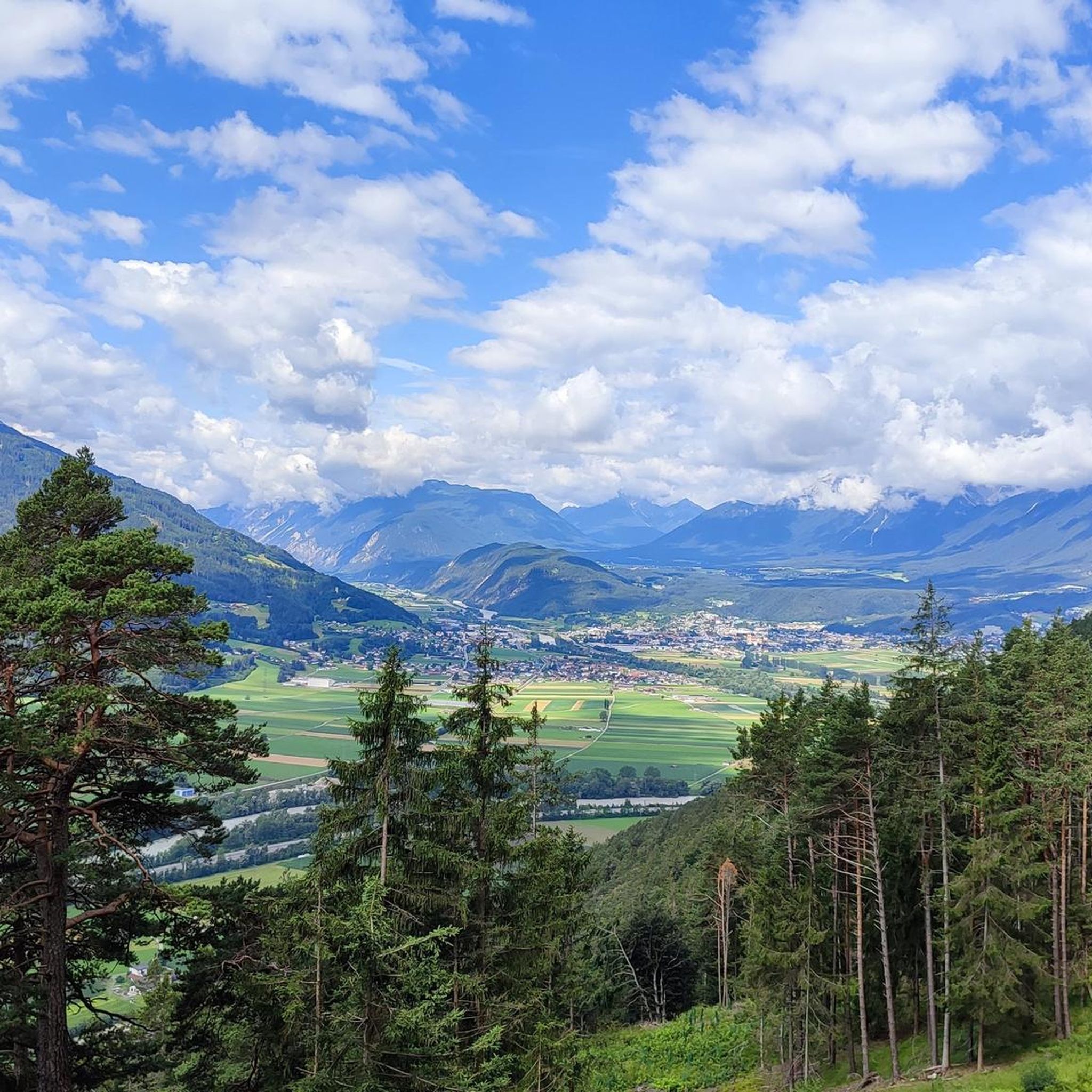
Running Trails around Pettnau
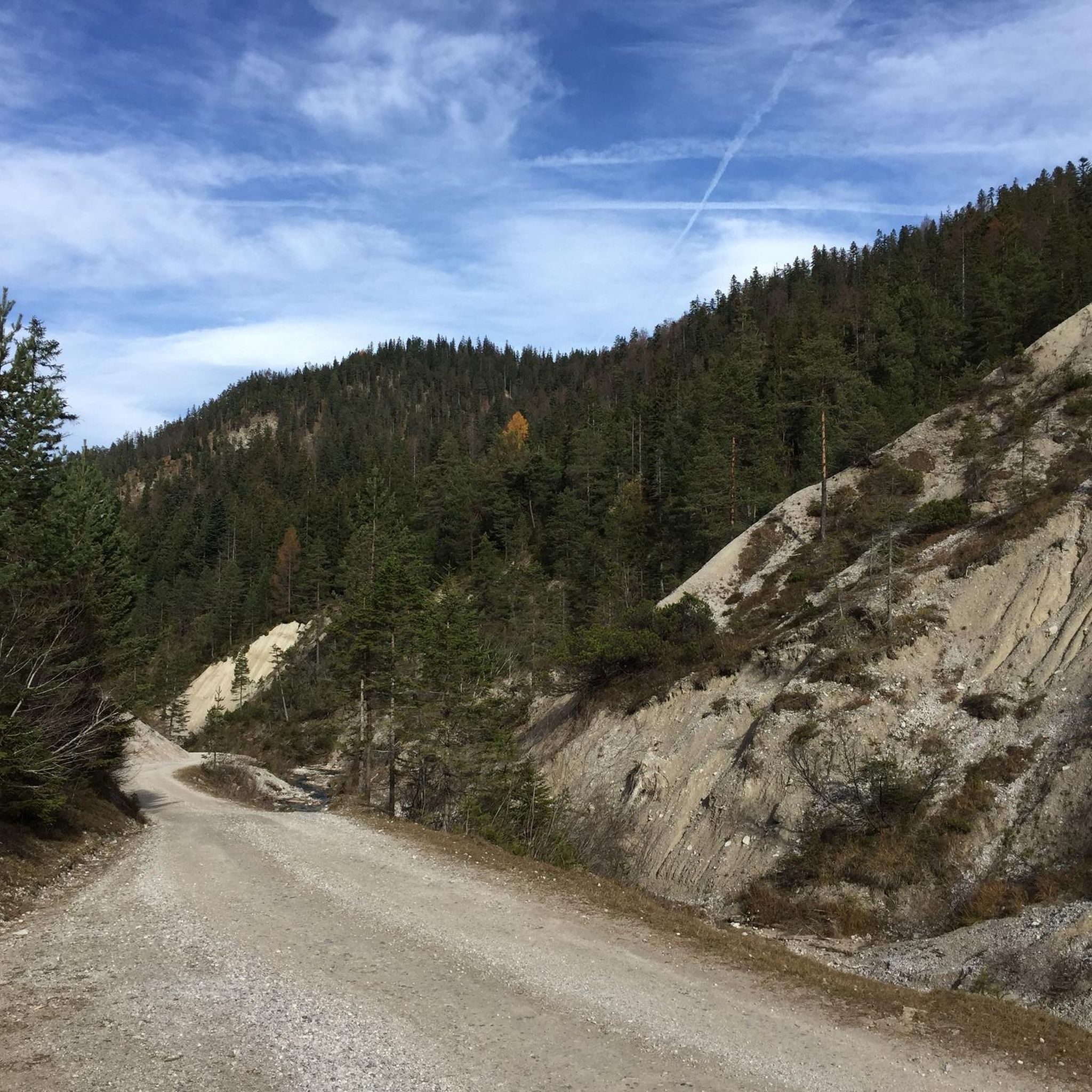
Running Trails around Seefeld in Tirol
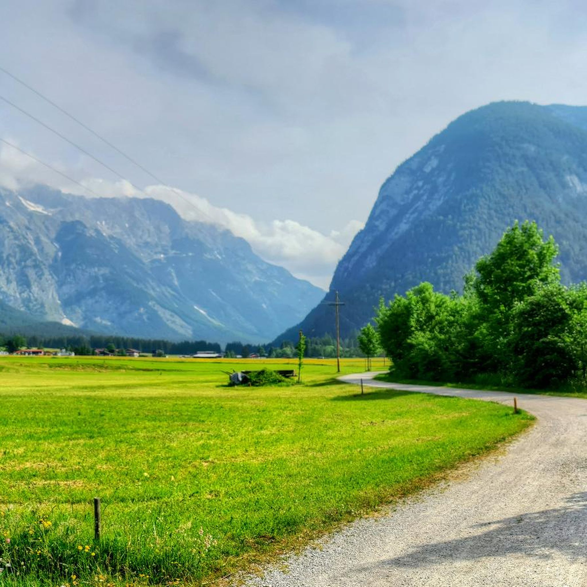
Running Trails around Leutasch
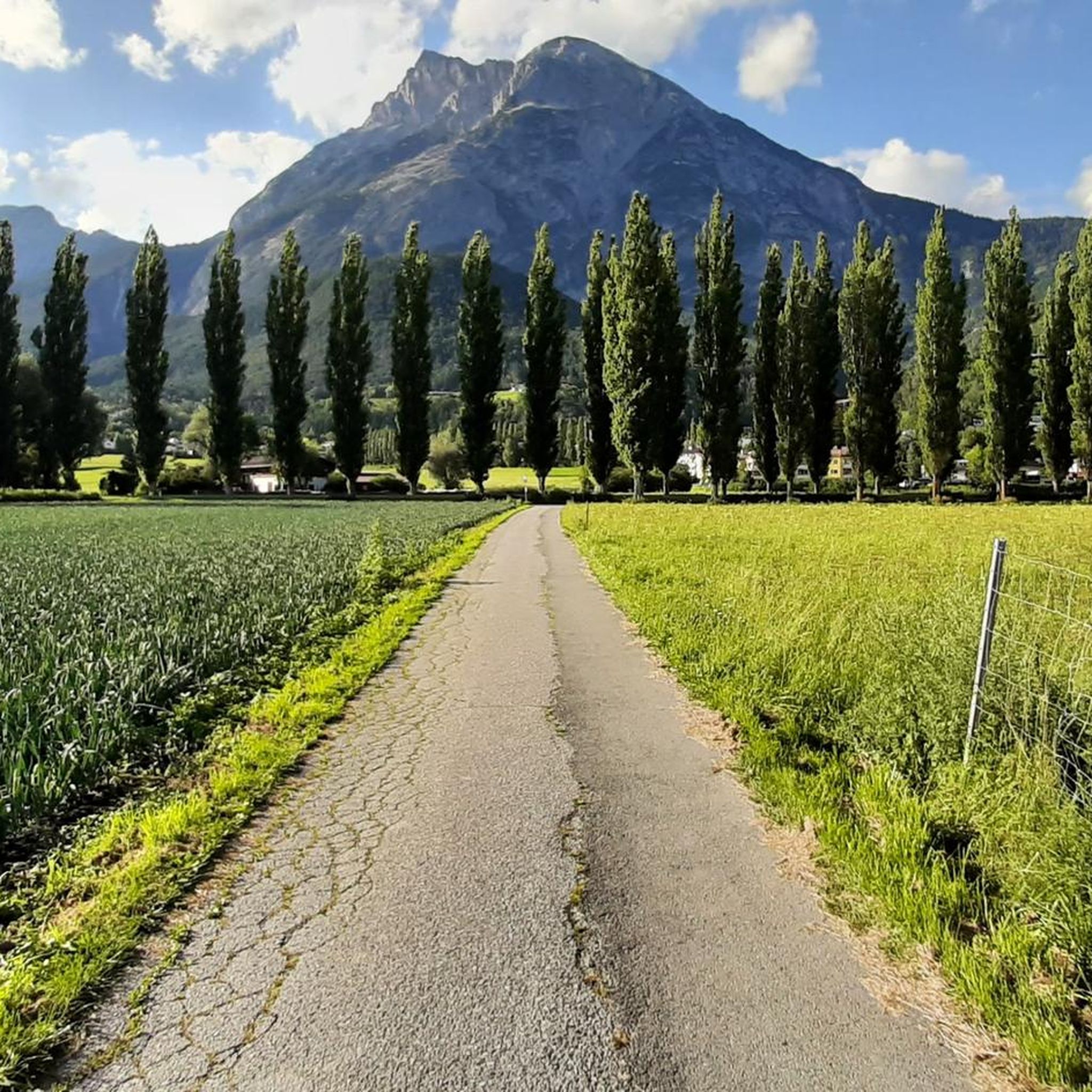
Running Trails around Telfs
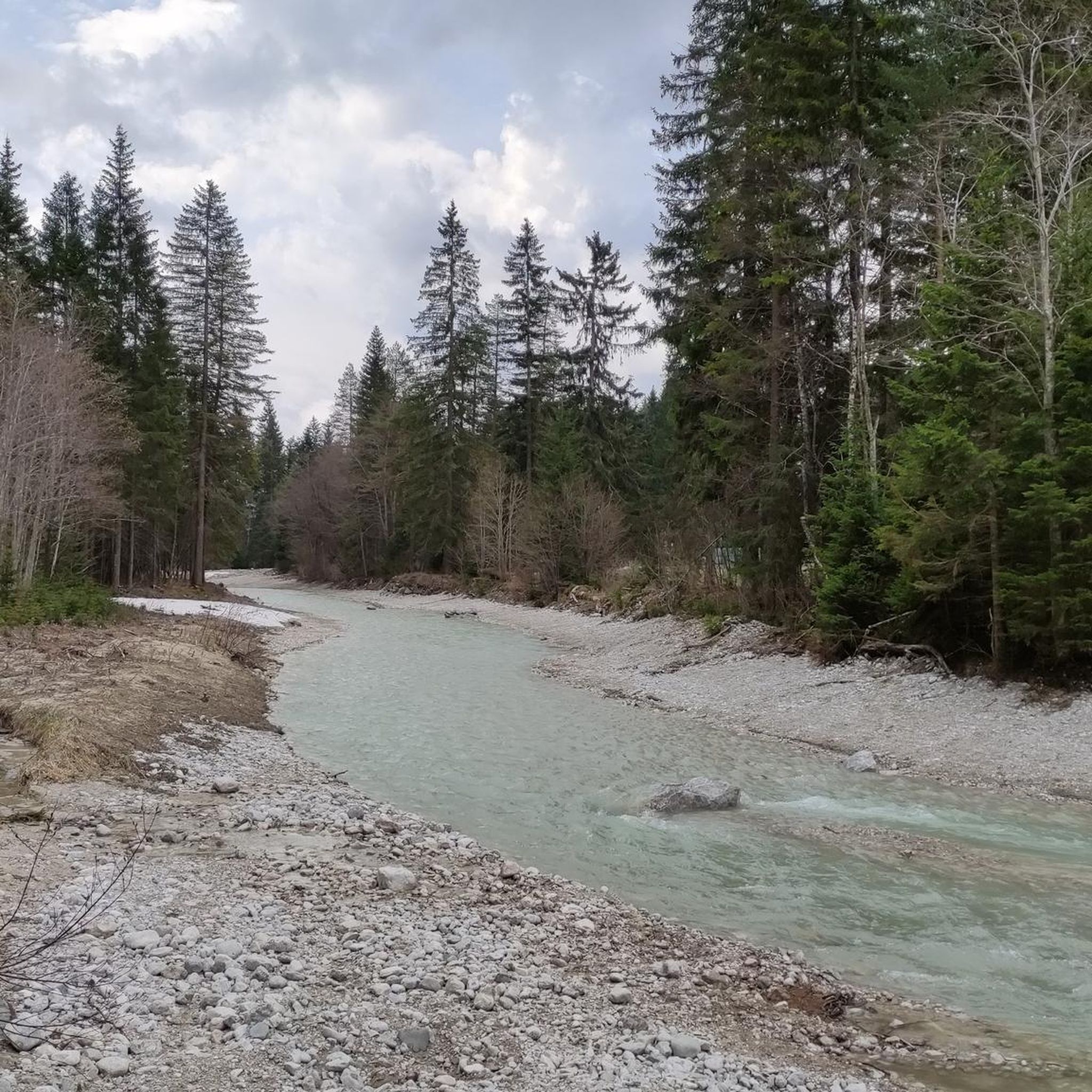
Running Trails in Naturschutzgebiet Arnspitze
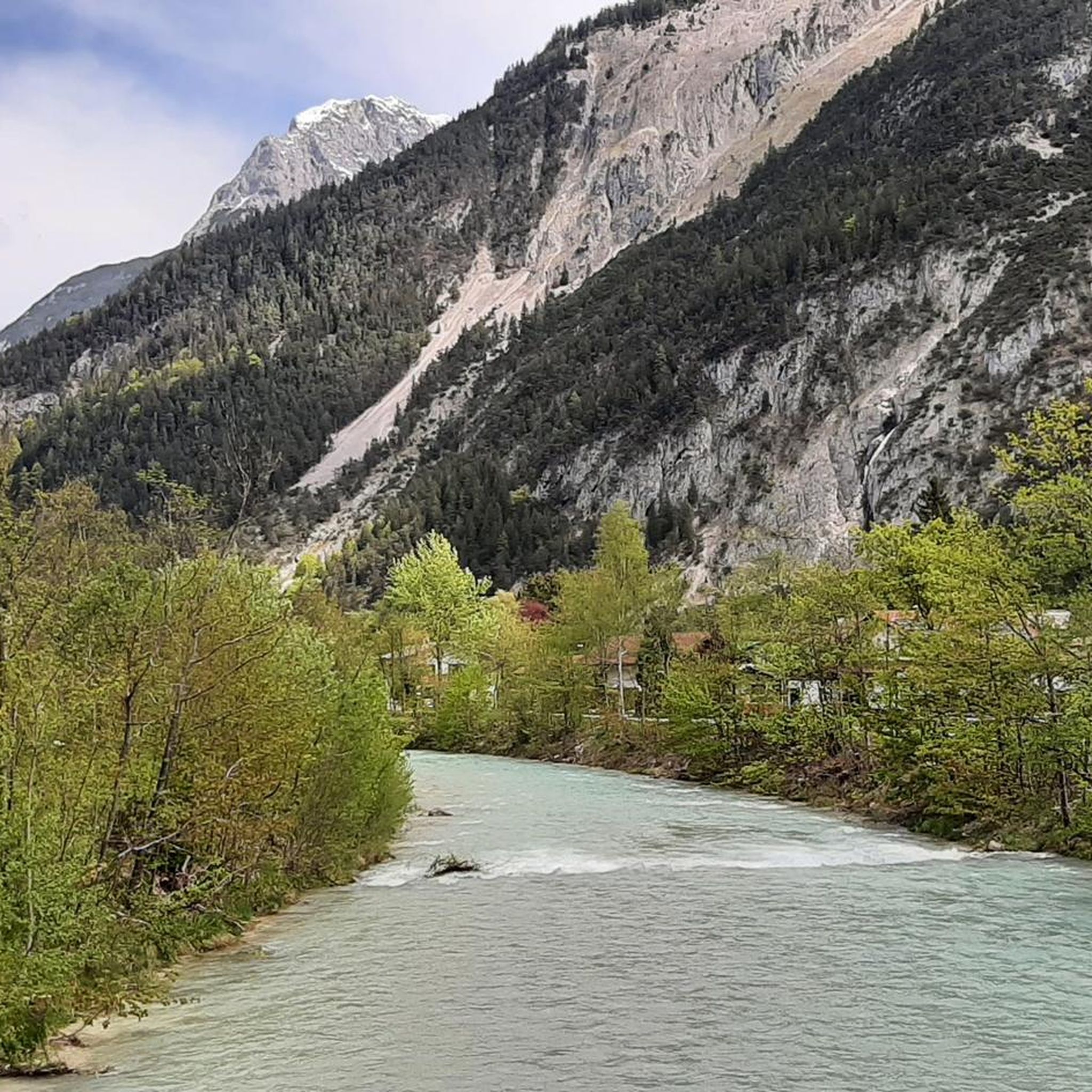
Running Trails around Scharnitz
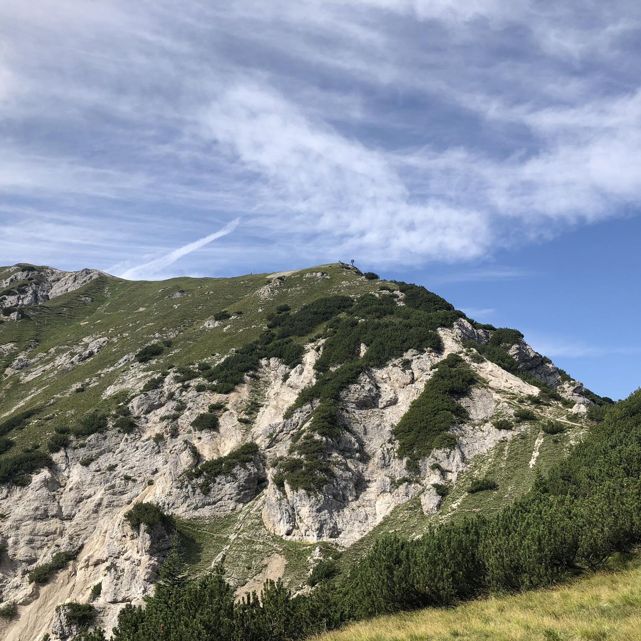
Running Trails in Wildruhefläche Ankerschlag
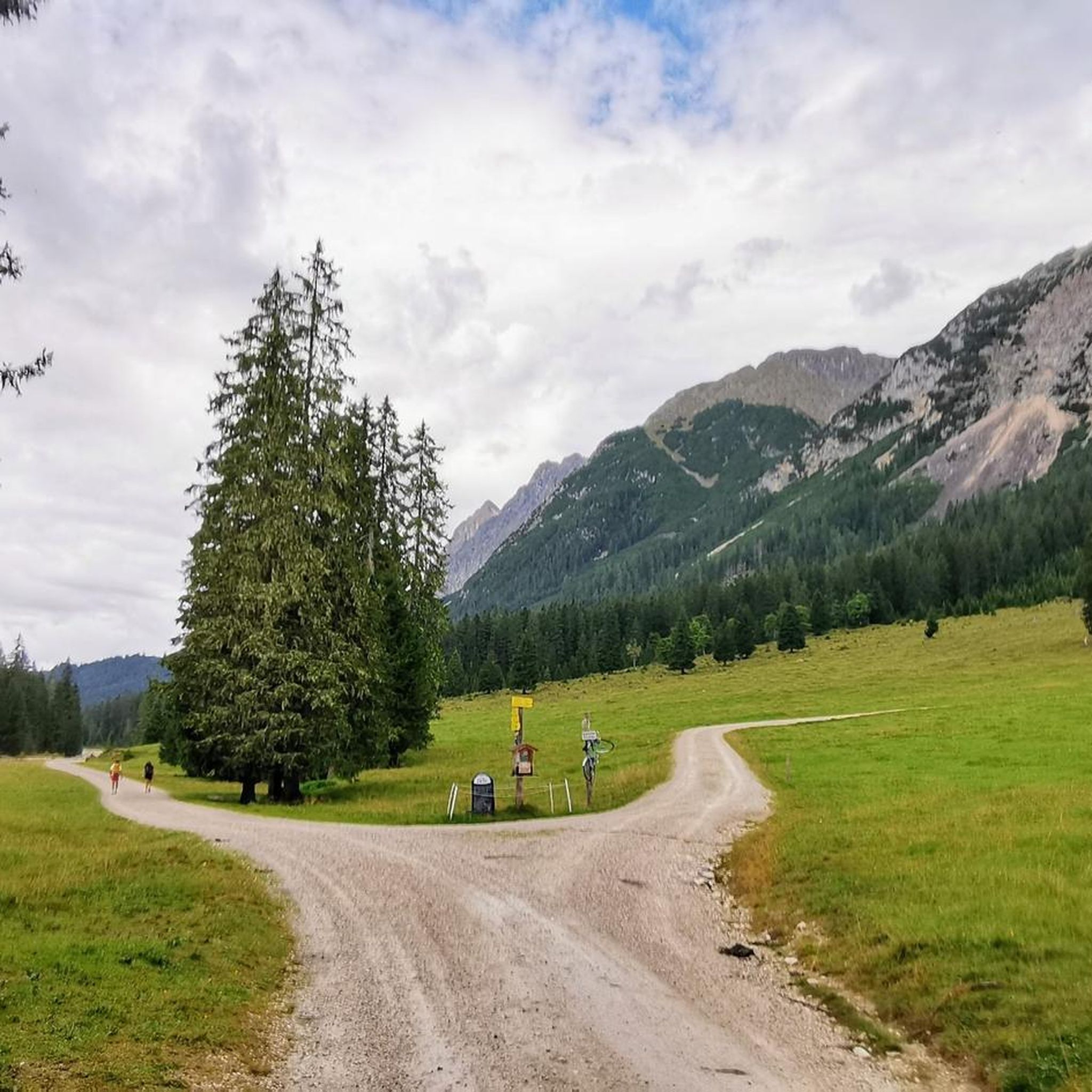
Running Trails in Wildruhefläche Gaistal
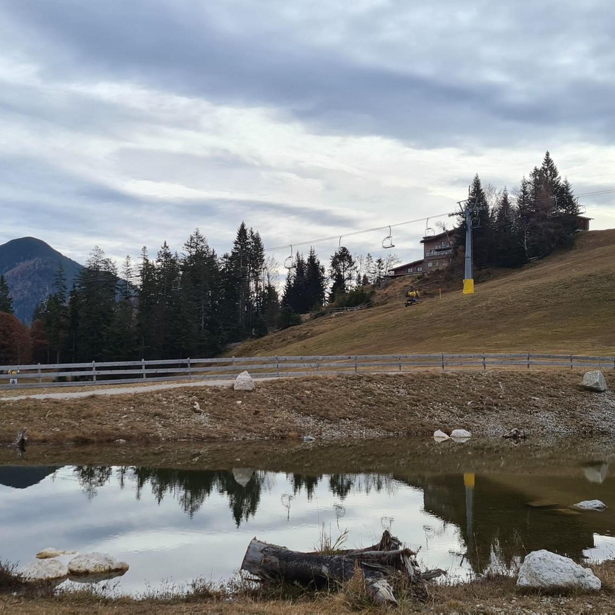
Running Trails around Reith bei Seefeld
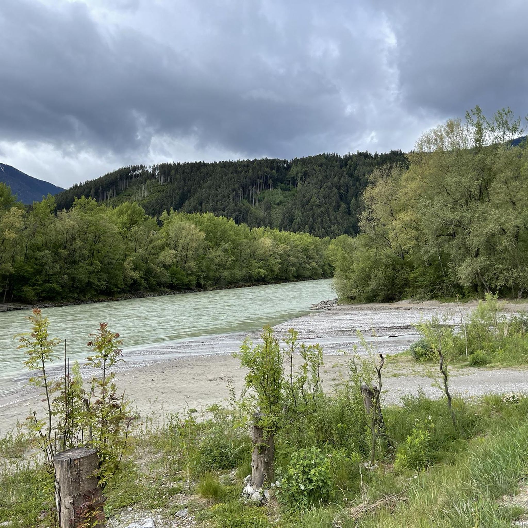
Running Trails around Zirl
Other adventures in the Region Seefeld – Tirols Hochplateau


Tips from the Community

The raftsmen's monument in Mittenwald commemorates the centuries-old tradition of rafting on the Isar. Wood and goods were formerly transported on rafts via the Isar to Munich and beyond.
0
0

Very impressive view of the surrounding mountains.
0
0
From here you could take the bus to Reith or Seefeld.
0
0
You thus have the goal in sight.
0
0
Frequently Asked Questions
How many running routes are available in the Region Seefeld – Tirols Hochplateau?
The Region Seefeld – Tirols Hochplateau boasts an extensive network of over 260 signposted running routes. This includes a variety of trails, from easy forest paths to challenging mountain ascents, catering to all fitness levels.
What makes the Region Seefeld – Tirols Hochplateau ideal for jogging?
The region is situated on a sunny plateau at an elevation of 1,200 meters, offering ideal conditions for high-altitude training. It features a diverse landscape with an extensive network of trails, including easy forest paths, gentle village loops, and demanding mountain routes, all set against the stunning backdrop of the Wetterstein and Karwendel mountain ranges.
What do other runners say about the jogging routes in Region Seefeld?
The running routes in Region Seefeld – Tirols Hochplateau are highly rated by the komoot community, with an average score of 4.6 stars from over 370 reviews. More than 8,400 runners have explored the varied terrain, often praising the well-maintained paths, diverse scenery, and the unique experience of high-altitude running.
Are there easy running routes suitable for beginners or leisurely jogs?
Yes, the region offers many easy running options. For a gentle and scenic run, consider the Wildsee Lakeside Trail – Seefeld in Tyrol loop from Seefeld in Tirol, an easy 3.8 km (2.3 miles) path around the idyllic Wildsee. There are over 20 other easy routes to choose from.
Are there challenging running routes for experienced runners seeking a workout?
Absolutely. For those looking for a more demanding experience, the region offers over 100 difficult routes. A popular choice is the Kaltwassersee – Hocheggalm loop from Seefeld in Tirol, a challenging 14.7 km (9.1 miles) path with significant elevation gain through mountain terrain.
What kind of scenic views can I expect on the running trails?
Jogging in the Region Seefeld – Tirols Hochplateau offers breathtaking scenery. You can expect panoramic views of impressive mountain peaks like Hohe Munde, Seefelder Spitze, and the Karwendel range, idyllic alpine lakes such as Wildsee, and vast stretches of forests and meadows. Many routes provide stunning vistas of the surrounding natural beauty.
Are there any notable natural features or landmarks along the running paths?
Yes, many running paths pass by significant natural features and landmarks. You can explore the serene Eastern shore of Lake Möserer See, experience the unique nature of the Leutasch Gorge with its impressive bridges like the Leutasch Gorge Panoramic Bridge, or admire the iconic Seekirchl church in Seefeld. The southern bank of the Wildsee is also a designated nature reserve.
Are there family-friendly running routes in the Region Seefeld?
Yes, the region offers several family-friendly running routes, particularly the easier, flatter paths around the villages and lakes. These routes often have well-maintained surfaces and minimal elevation, making them suitable for families with children or those preferring a relaxed pace. The Wildsee Lakeside Trail is a great example of an accessible, enjoyable loop.
Can I bring my dog on the running trails in Region Seefeld?
Generally, dogs are welcome on many running trails in the Region Seefeld – Tirols Hochplateau. However, it's always advisable to keep them on a leash, especially in nature reserve areas or near wildlife. Please be mindful of local regulations and other trail users.
Are there circular running routes available?
Yes, the majority of running routes in the Region Seefeld – Tirols Hochplateau are designed as circular loops, allowing you to start and end at the same point without retracing your steps. This includes popular options like the View of Hohe Munde – Weidachsee Fishing Lake loop from Leutasch and the Chapel Near Seefeld – View of Auland loop from Seefeld in Tirol.
How can I access the running trails using public transport?
The Region Seefeld – Tirols Hochplateau is well-served by public transport, making many trailheads easily accessible. Buses connect the main villages like Seefeld, Leutasch, and Scharnitz, allowing you to reach various starting points for your run. Check local bus schedules for the most convenient options to specific trailheads.
Are there running routes with convenient parking at the trailhead?
Yes, many running routes in the Region Seefeld – Tirols Hochplateau offer convenient parking facilities near their trailheads, especially in and around the main villages. This makes it easy to access the trails by car. Look for designated parking areas in Seefeld, Leutasch, Mösern, Scharnitz, and Reith.
Is it possible to go running in the Region Seefeld during winter?
Absolutely! The Region Seefeld – Tirols Hochplateau is known for its year-round outdoor activities. In winter, 142 kilometers of groomed and maintained trails are available for trail running, offering a unique experience through snow-covered landscapes. Special winter running shoes with good grip are recommended.
Most popular routes in the Region Seefeld – Tirols Hochplateau
Most popular attractions in the Region Seefeld – Tirols Hochplateau

Get inspired with the komoot mobile app


Didn’t find what you were looking for?
Check out more Running Trails & Routes throughout Region Seefeld – Tirols Hochplateau below and find the perfect route in your destination.
Explore more
Browse the best Running Trails & Routes in other regions.
