The best mountain hikes around Mils bei Imst
4.7
(110)
1,079
hikers
47
hikes
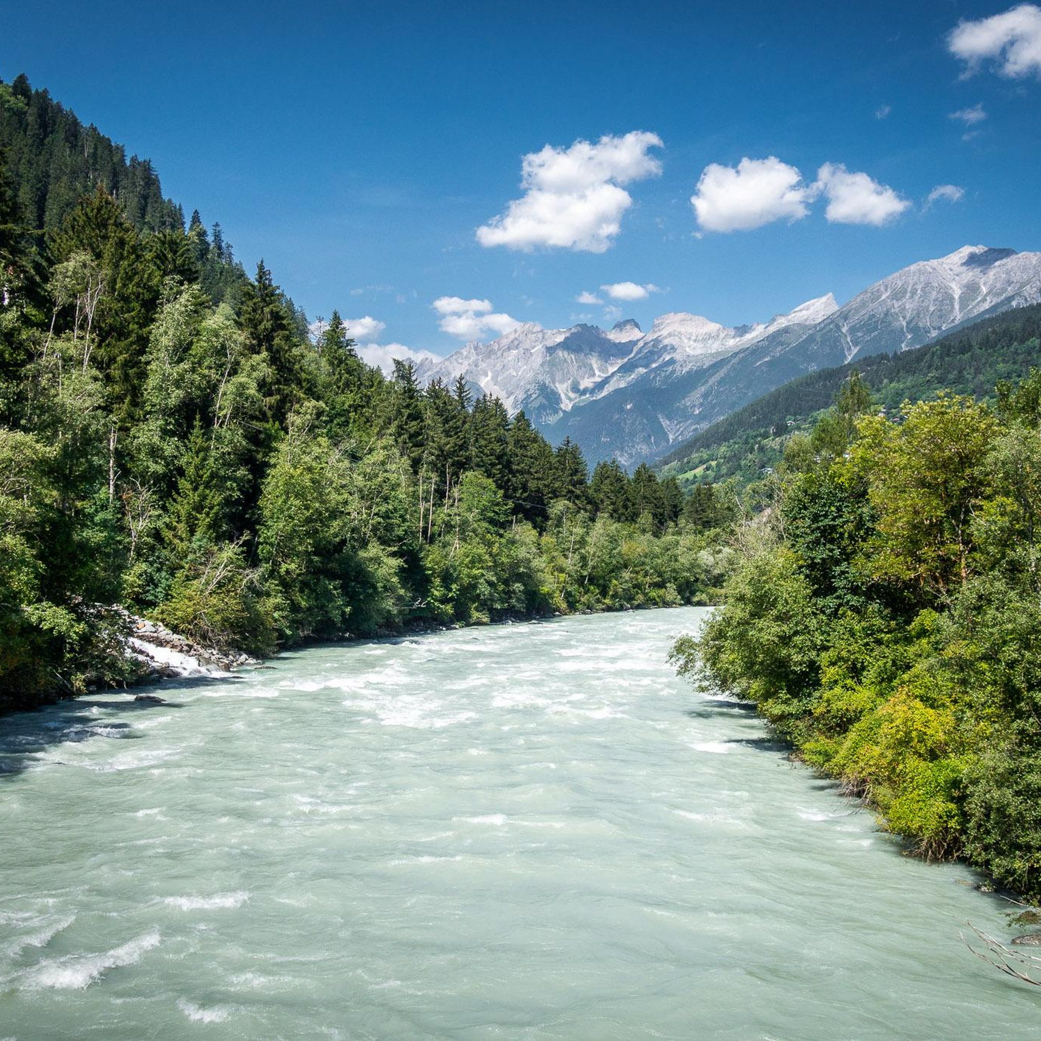
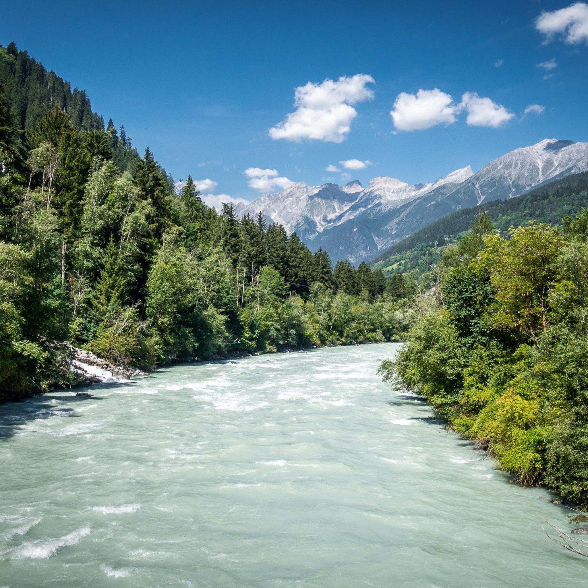
Mountaineering routes around Mils bei Imst are situated in a mountainous region characterized by significant elevation changes, alpine terrain, and forested lower slopes. The area offers challenging ascents and descents, leading to high-altitude huts and summits. The landscape features rugged paths and panoramic views typical of the Tyrolean Alps.
Best mountaineering routes around Mils bei Imst
- The most popular mountaineering route is Muttekopf Hut – Jägerstieg loop from Imst, a 10.3 miles (16.6 km) trail that takes 6 hours…
Last updated: May 11, 2026
4.7
(7)
50
hikers
16.6km
06:40
1,070m
1,070m
Hard mountaineering route. Very good fitness required. Sure-footedness, sturdy shoes and alpine experience required.
4.9
(7)
44
hikers
10.1km
05:39
1,100m
1,100m
Hard mountaineering route. Very good fitness required. Sure-footedness, sturdy shoes and alpine experience required.

Sign up for free
4.8
(4)
34
hikers
9.34km
03:55
620m
620m
Hard mountaineering route. Good fitness required. Sure-footedness, sturdy shoes and alpine experience required.
5.0
(1)
18
hikers
2.76km
01:05
110m
110m
Hard mountaineering route. Great for any fitness level. Sure-footedness, sturdy shoes and alpine experience required.
5.0
(1)
18
hikers
13.0km
06:39
1,240m
1,240m
Hard mountaineering route. Very good fitness required. Sure-footedness, sturdy shoes and alpine experience required.
Get access to more routes and recommendations from other explorers.
Sign up for free
Already have an account?
Our route recommendations are based on thousands of hikes, rides, and runs completed by other people on komoot.
Start today with a free account
Your next adventure awaits.
Login or Signup
Tips from the Community

Ideal for beginners. The entry is a bit challenging, especially with wet soles. But otherwise manageable and relatively short.
0
0

This short hut via ferrata can easily be combined with the Imster via ferrata. A highlight for children would be a ride on the Alpine Coaster (summer toboggan run with a rollercoaster feel). A steep (C) section takes you to a traverse (B) that leads to an edge (B/C) close to the water. After this, you go over a ramp (A) to the bridge (B). Then you traverse a block (B) and after a "notch" you reach an exposed hanging section (B/C). Then over blocks (B) and a ridge (B) to the climbing book. From the book it is even steeper (B/C) to the exit ridge (A), after which the path ends at the stream. Source: Alpinverlag
1
2
The platform seems to float above nothingness - and thus offers a unique view of the Muttekopf rest area. It can be reached via a 13-meter-long footbridge and is supported by an 8-meter-high column.
1
0
The platform seems to float above nothingness - and thus offers a unique view of the Muttekopf rest area. It can be reached via a 13-meter-long footbridge and is supported by an 8-meter-high column.
1
0
The Drischlsteig is an impressive and exposed path that leads from the mountain station to the Muttekopfhütte. Although the path is short and the walking time for most mountaineers is only half an hour, the terrain should not be underestimated due to its exposure. The very well-developed path system makes it easier to progress, but concentration and surefootedness are still essential. You also need to allow enough time for the breathtaking views and depths that you can enjoy along the path and from the viewing platform.
1
0

Sun terrace with an Alpine panorama below the Vorderen Alpjoch
0
0

Hiked from the Rosental Gorge from Imst. A beautiful mountain path to the hut. You are rewarded in the hut with a great view of the valley in the middle of the mountains. Friendly staff. The food was OK, but the food on offer was significantly reduced in the evenings (but this could also be due to the approaching end of the season). Prices were great for the effort (food etc. is transported by cable car). Sanitary facilities are well maintained. There are options to book rooms or camp here. It is very nice to sit and linger in the hut in the evening. In the morning there is a buffet on offer. Several peaks and viewpoints can be reached from the hut. The descent into the valley is no problem with the right footwear. All in all a great hut and definitely worth seeing.
2
1

The multi-layered rock formations are definitely spectacular, from the Nagelfluh to the main dolomite to the brittle slate and other geological sundries of the Gosau layers.
0
0
Frequently Asked Questions
How many mountaineering routes are available around Mils bei Imst?
There are over 45 mountaineering routes documented on komoot for the Mils bei Imst area, offering a wide range of challenging alpine experiences.
Are there any easy or family-friendly mountaineering routes in Mils bei Imst?
While the region is primarily known for its challenging alpine terrain, there are a few easier options. Komoot lists 5 easy and 5 moderate routes. However, most mountaineering tours here are considered difficult, so ensure any chosen route matches your group's experience level, especially with families.
What is the best time of year for mountaineering in the Mils bei Imst region?
The prime season for mountaineering in the Tyrolean Alps, including Mils bei Imst, is typically from late June to early October. During this period, snow has usually melted from higher elevations, and weather conditions are generally more stable. Always check local weather forecasts and trail conditions before heading out.
Are there any circular mountaineering trails in the area?
Yes, many routes in the Mils bei Imst area are designed as loops, allowing you to start and finish at the same point. For example, the Drischlsteig – Muttekopf Hut loop from Vorderes Alpjoch offers a challenging circular experience through alpine landscapes.
What kind of challenges can I expect on advanced mountaineering routes near Mils bei Imst?
Advanced routes in this region feature significant elevation gains, rugged and exposed alpine paths, and often require sure-footedness and a head for heights. Expect sustained climbing and technical sections, typical of the Tyrolean Alps. Many routes lead to high-altitude huts and summits, demanding good physical condition and experience.
What are some notable natural landmarks or attractions I can see while mountaineering?
The region is rich in natural beauty. You might encounter impressive peaks like Krahberg Summit or Glanderspitze Summit. Some routes also offer views of historical sites such as Kronburg Castle.
How long do mountaineering trails typically take in Mils bei Imst?
The duration of trails varies significantly based on difficulty and distance. For instance, a challenging route like the Drischlsteig – Waterfall Via Ferrata Exit loop from Vorderes Alpjoch can take around 4 hours, while longer, more demanding tours can easily extend to 6-7 hours or more.
What do other mountaineers say about the routes in Mils bei Imst?
The mountaineering routes around Mils bei Imst are highly regarded by the komoot community, with an average rating of 4.7 stars from over 100 reviews. Users frequently praise the challenging nature of the trails, the stunning alpine scenery, and the well-maintained paths leading to high-altitude huts.
Are there any specific permits or fees required for mountaineering in this area?
Generally, no specific permits are required for hiking on marked trails in the Tyrolean Alps. However, some private roads leading to trailheads might have a toll. Always respect local regulations and private property signs.
Can I find places to eat or rest along the mountaineering routes?
Yes, many mountaineering routes in the Alps lead to or pass by alpine huts (Hütten) where you can find refreshments, meals, and sometimes overnight accommodation. These huts are essential for longer tours and offer a welcome break.
What should I wear for mountaineering in the Imst region?
Given the alpine environment and potential for rapid weather changes, it's crucial to dress in layers. Essential gear includes sturdy, waterproof hiking boots, breathable and moisture-wicking clothing, a waterproof and windproof jacket, hat, gloves, and sun protection. Always carry enough water and snacks.
Are there any hidden gem mountaineering routes that are less crowded?
While popular routes can see more traffic, exploring some of the slightly less-known trails or visiting during off-peak times (early morning, late season) can offer a more secluded experience. Look for routes that don't directly lead to the most famous summits or huts if you prefer solitude.
Most popular routes around Mils bei Imst
Most popular attractions around Mils bei Imst

Get inspired with the komoot mobile app


Explore more
Browse the best Mountain Hikes & Routes in other regions.
