The best mountain hikes around the Kaunertal
4.8
(249)
2,857
hikers
120
hikes
Mountaineering routes around the Kaunertal are set within the high-alpine environment of the Tyrolean Alps, characterized by dramatic landscapes and significant glaciers. The region features numerous 3000-meter peaks, rugged and rocky high mountain terrain, often snow and ice-covered, and deep valleys carved by rivers like the Faggenbach. The Kaunergrat Nature Park, bordering the valley, adds untouched nature and diverse ecosystems to the mountaineering experience. This area offers a wide range of mountaineering options, from challenging summit ascents to high-alpine glacier crossings.
Best mountaineering routes around the Kaunertal
- The most popular mountaineering route is Riffljoch (3,149 m) loop from Kaunertal Abzw Riffeltal, a moderate 5.2 miles (8.3 km) trail that takes 4 hours 32 minutes to complete. This route offers ascents to a prominent peak with expansive views.
- Another top favourite among local mountaineers is Steep Ascent – Verpeilhütte loop from Kaunertal, a difficult 5.3 miles (8.6 km) path. This route features challenging climbs through high-alpine terrain towards a mountain hut.
- Local mountaineers also love the Steep Ascent – View of the Kaunertal 3,000ers loop from Kaunertal, a 3.1 miles (4.9 km) trail leading through high-alpine landscapes, often completed in about 2 hours 10 minutes.
- Mountaineering around the Kaunertal is defined by high-alpine environments, significant glaciers, and numerous 3000-meter peaks within the Kaunergrat Nature Park. The network offers options for various ability levels, from moderate ascents to difficult high-alpine expeditions.
- The routes in Kaunertal are highly rated by the komoot community with an average score of 5.0 stars from more than 10 reviews. More than 100 mountaineers have used komoot to explore Kaunertal's varied terrain.
Last updated: June 24, 2026
5.0
(8)
34
hikers
8.29km
04:32
770m
770m
Moderate mountaineering route. Good fitness required. Mostly accessible paths. Sure-footedness required.
5.0
(2)
23
hikers
2.48km
01:22
170m
170m
Hard mountaineering route. Great for any fitness level. Sure-footedness, sturdy shoes and alpine experience required.

Sign up for free
12
hikers
Hard mountaineering route. Good fitness required. Sure-footedness, sturdy shoes and alpine experience required.
2.0
(1)
9
hikers
2.77km
01:31
210m
210m
Hard mountaineering route. Great for any fitness level. Sure-footedness, sturdy shoes and alpine experience required.
5.0
(1)
10
hikers
3.14km
01:12
220m
220m
Hard mountaineering route. Great for any fitness level. Sure-footedness, sturdy shoes and alpine experience required.
5.0
(3)
11
hikers
13.9km
04:36
610m
610m
Moderate mountaineering route. Good fitness required. Mostly accessible paths. Sure-footedness required.
5.0
(1)
9
hikers
Moderate mountaineering route. Good fitness required. Mostly accessible paths. Sure-footedness required.
8
hikers
10.2km
05:23
740m
730m
Hard mountaineering route. Very good fitness required. Sure-footedness, sturdy shoes and alpine experience required.
5.0
(1)
8
hikers
2.55km
01:33
210m
210m
Hard mountaineering route. Great for any fitness level. Sure-footedness, sturdy shoes and alpine experience required.
5.0
(2)
8
hikers
5.84km
02:17
320m
320m
Moderate mountaineering route. Good fitness required. Mostly accessible paths. Sure-footedness required.
Get access to more routes and recommendations from other explorers.
Sign up for free
Already have an account?
Our route recommendations are based on thousands of hikes, rides, and runs completed by other people on komoot.
Start today with a free account
Your next adventure awaits.
Login or Signup
Popular around Kaunertal

Mountain Hikes in Nature park Kaunergrat

Mountain Hikes around Kaunerberg
Mountain Hikes around Gepatsch Stausee

Mountain Hikes around Faggen

Mountain Hikes around Kauns
Kaunergrat circular hike in Austria – a dream for experienced mountaineers
Top hiking tours in the Tyrolean Oberland for your bucket list
Kaunertal – glaciers, tunnels and stone pine forests
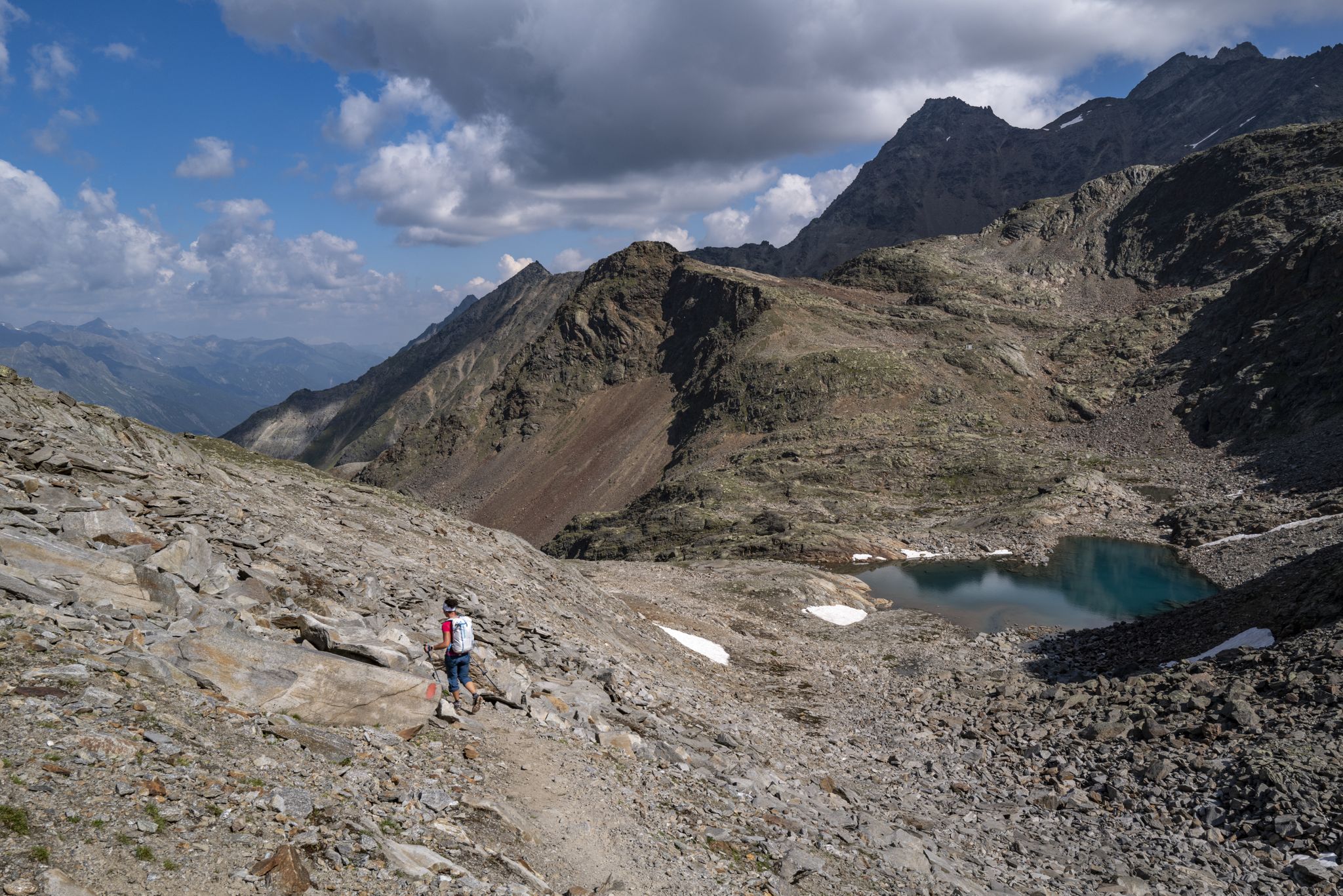
An adventure for true mountain enthusiasts – the Ötztal Trek
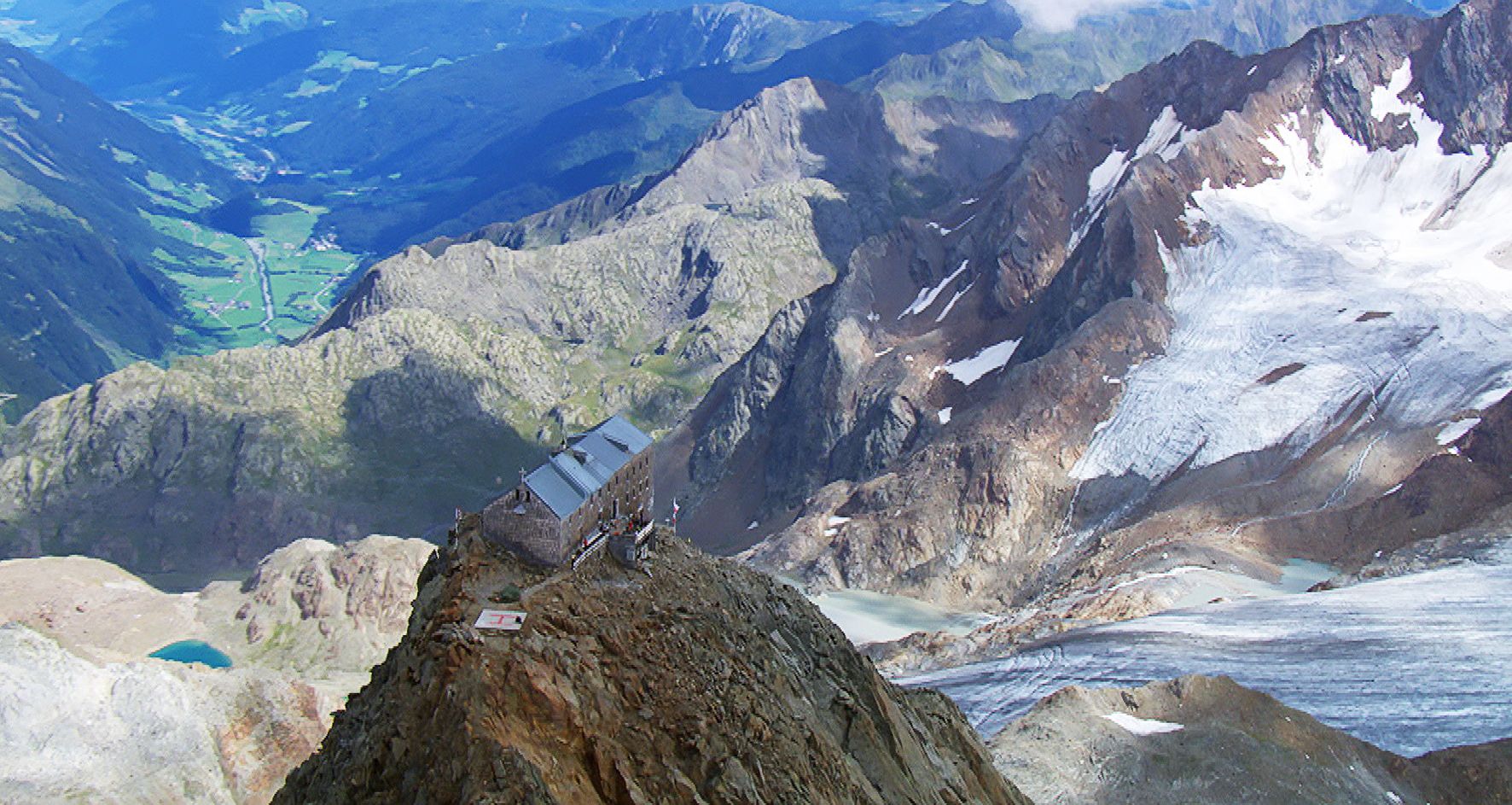
Sleep above 3000 meters
Other adventures around the Kaunertal


Tips from the Community

The Verpeil valley around the Verpeil hut is a dream.
0
0

We started in the rain at the Verpeil Hut. At this altitude, the rain turned into sleet. CAUTION! There was a large rockfall to the right of the steel ladders that day. We had to abort the tour and turn back. Other hikers also reported that one of the two ladders was loose. Caution and alpine experience are essential!
0
0

The glacier is visible from the parking lot, but you can also get closer. Above, you can compare its current state with the past. It has receded significantly.
0
0

The **Verpeil Chapel** is a beautiful place in the **Verpeiltal**, which is located in the Kaunertal in the **Ötztal Alps**. Here is some interesting information about this charming chapel: 1. **Accessibility**: - The chapel is easily accessible from **Feichten** in about **2 hours** on foot. It is a pleasant hike that is well worth it! 2. **History**: - This chapel was built **in 1988** by a local doctor from **Prutz** and was solemnly consecrated to the **Heart of Jesus** on **July 10th** of the same year. 3. **Special features**: - Above the entrance of the chapel is the inspiring saying: **"Don't worry - Live"**, which inspires many visitors. 4. **Surroundings**: - The chapel is surrounded by a picturesque landscape characterized by trees and alpine roses, making it an ideal place for a contemplative break during a hike.
1
0
The **Verpeilhütte** is a charming mountain hut in the **Kaunertal, Austria**, located in a picturesque setting. Here is some interesting information about the hut: 1. **Location**: - The Verpeilhütte is located at **2,025 m** in a charming high valley above **Feichten**. The address is **6524 Kaunertal, Austria**. 2. **Current Situation**: - Unfortunately, the Verpeilhütte is currently **temporarily closed**. 3. **Offer**: - When open, the hut offers a wide range of **traditional hut food** and uses the freshest and most regional products possible to ensure the best quality. 4. **Family-Friendly**: - The hut is an ideal destination for families and is relatively easy to reach, making it a popular destination for hikers. 5. **Surroundings**: - The Verpeilhütte is located in one of Austria's most beautiful high valleys, surrounded by a very old **pine forest** and impressive rocky peaks.
2
0

Here (now 2024) stands the Visholo. It shows the extent of the glacier in the early 1900s
0
0

The via ferrata contains two wooden bridges over the waterfall. These are sufficiently stable for the difficulty level “B”.
0
0

Super nice, small DAV hut with a total of only 21 beds. The DAV Frankfurt hut is managed voluntarily by two section members every two weeks. This creates a very unique atmosphere. The stay was fantastic and is highly recommended! Even the outdoor shower is warmer than you think ;-)
0
0
Frequently Asked Questions
What types of mountaineering routes can I find in Kaunertal?
Kaunertal offers a diverse range of mountaineering experiences, from moderate ascents to challenging high-alpine expeditions. The region is characterized by its high-alpine environment, significant glaciers, and numerous 3000-meter peaks within the Kaunergrat Nature Park. You'll find routes like the Riffljoch (3,149 m) loop, which offers expansive views, and more demanding paths such as the Steep Ascent – Verpeilhütte loop, featuring challenging climbs through high-alpine terrain.
Are there any family-friendly mountaineering options in Kaunertal?
While many mountaineering routes in Kaunertal are challenging, the broader region offers family-friendly hiking options and even via ferratas like the 'Holderli Seppl Klettersteig.' For mountaineering specifically, routes like the Steep Ascent – View of the Kaunertal 3,000ers loop are shorter and can be completed in about 2 hours, making them more accessible for families with some mountaineering experience.
What are some notable natural features or landmarks to see along the mountaineering routes?
Kaunertal is rich in natural beauty. Along your mountaineering routes, you might encounter stunning features like the Verpeil Waterfall, the vast Gepatsch Reservoir, or the picturesque Hidden Lake. The region is also home to the Fluchtkogel Summit, offering magnificent panoramic views.
Are there any circular mountaineering routes available?
Yes, Kaunertal features several circular mountaineering routes. For instance, you can explore the Riffljoch (3,149 m) loop from Kaunertal Abzw Riffeltal, the Wooden Owl Carving – Steep Ascent loop from Kaunertal, or the Kleiner Nörderberg Summit loop from Kaunertal Oberbirg. These loops allow you to start and end at the same point, offering varied scenery along the way.
What is the best time of year for mountaineering in Kaunertal?
The best time for mountaineering in Kaunertal is typically from late spring to early autumn (June to September) when the weather is more stable and snow conditions are favorable for high-alpine routes. However, due to the presence of significant glaciers, some high-altitude routes may be accessible earlier or later, but always require careful planning and awareness of current conditions. The Kaunertal Glacier is snow-sure from October to May, offering winter sports, but mountaineering in winter requires specialized equipment and expertise.
Can I bring my dog on the mountaineering routes in Kaunertal?
Generally, dogs are welcome on most hiking and mountaineering trails in the Tyrolean Alps, including Kaunertal. However, it's crucial to keep your dog on a leash, especially in nature protection areas like the Kaunergrat Nature Park, to protect wildlife and other hikers. Always ensure your dog is fit enough for the chosen route and carry enough water for both of you.
How long do mountaineering routes in Kaunertal typically take?
The duration of mountaineering routes in Kaunertal varies significantly based on difficulty and distance. Shorter, moderate routes like the Steep Ascent – View of the Kaunertal 3,000ers loop can be completed in about 2 hours 10 minutes. More extensive routes, such as the Riffljoch (3,149 m) loop, typically take around 4 hours 30 minutes, while challenging routes like the Weißseespitze Summit loop can take over 5 hours.
Are there any mountain huts or places to rest along the routes?
Yes, Kaunertal offers mountain huts that can serve as rest stops or even overnight accommodation for longer tours. For example, the Gepatschhaus is a well-known hut in the area. Some routes, like the Ascent to the Verpeilhütte, lead directly to a mountain hut, providing a convenient place to refuel and rest.
What is the average difficulty of mountaineering routes in Kaunertal?
The mountaineering routes in Kaunertal are generally categorized as moderate to difficult. Out of the 16 available routes, 9 are considered moderate and 7 are difficult. This indicates that most routes require a good level of fitness, experience in alpine terrain, and appropriate equipment. Beginners should opt for guided tours or shorter, well-marked paths.
What do other mountaineers enjoy most about Kaunertal?
The mountaineering routes in Kaunertal are highly rated by the komoot community, with an average score of 5.0 stars. Reviewers often praise the dramatic high-alpine landscapes, the challenge of the 3000-meter peaks, and the stunning views of glaciers and valleys. The untouched nature of the Kaunergrat Nature Park and the diverse ecosystems also contribute to a memorable experience.
Are there any routes that offer views of the Kaunertal 3,000ers?
Absolutely. Many routes in Kaunertal provide spectacular views of the surrounding 3,000-meter peaks. A specific route designed for this is the Steep Ascent – View of the Kaunertal 3,000ers loop from Fagge, which offers expansive vistas of the high-alpine landscape and its impressive summits.
How many mountaineering routes are available in Kaunertal?
There are over 15 dedicated mountaineering routes available in Kaunertal, offering a wide range of challenges and experiences. These routes are well-documented on komoot, with more than 100 mountaineers having used the platform to explore the varied terrain of the region.
Most popular routes around the Kaunertal
Most popular attractions around the Kaunertal

Get inspired with the komoot mobile app


Didn’t find what you were looking for?
Check out more Mountain Hikes & Routes throughout Kaunertal below and find the perfect route in your destination.
Explore more
Browse the best Mountain Hikes & Routes in other regions.
